- Shire of Tammin
Infobox Australian Place | type = lga
name =Shire of Tammin
state =wa
postcode =
imagesize= 180
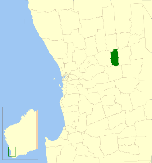
caption = Location inWestern Australia
region =Wheatbelt
area =1103.2
seat =Tammin
pop =391 (2006 census)
logo =
logosize =
url =http://www.tammin.wa.gov.au
mayor =Rodney Stokes
fedgov =O'Connor
stategov =Central Wheatbelt
near-nw = Dowerin
near-n = Wyalkatchem
near-ne = Trayning
near-w = Cunderdin
near-e = Kellerberrin
near-sw =
near-s = Quairading
near-se =The Shire of Tammin is a Local Government Area located in the Wheatbelt region of
Western Australia . Its seat of government is the town of Tammin, about 80kilometre s (50 mi) west of Merredin and about 180 kilometres (112 mi) east of Perth, the state capital.History
Originally the area was governed by the Meckering Road Board (now the neighbouring
Shire of Cunderdin ). In 1948, the Tammin Road Board was gazetted, and on 1 July 1961, it became a Shire Council following changes to the Local Government Act. [WA Electoral Commission, "Municipality Boundary Amendments Register" (release 2.0), 31 May 2003.]Wards
The shire has never had wards, and all 6 councillors sit at large. The Shire President is elected from amongst the councillors.
Towns/Localities
* Tammin
* Bungulla
* Wyola
* YorkrakineReferences
External links
* [http://www.tammin.wa.gov.au/ Shire of Tammin]
Wikimedia Foundation. 2010.