- Shire of Mundaring
Infobox Australian Place | type = lga
name = Shire of Mundaring
state = wa
imagesize= 180
caption =
pop = 35,097 (2006 census)
area = 644.9
est =
seat = Mundaring
mayor = Helen Dullard
region =Darling Scarp

logosize = 86
url = http://www.mundaring.wa.gov.au
stategov = Darling Range, Kalamunda, Midland, Swan Hills
fedgov = Hasluck, Pearce
near-nw = Swan
near-n = Swan
near-ne = Northam
near-e = York
near-w = Swan
near-sw = Kalamunda
near-s = Kalamunda
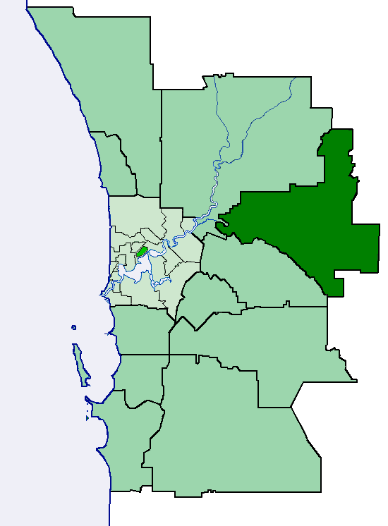
near-se = YorkThe Shire of Mundaring is a Local Government Area on the eastern fringe of metropolitan Perth, the capital of
Western Australia . The Shire covers an area of convert|645|km2|sqmi|0 and has a population of 35,097 (2006).History
The Greenmount Road Board was gazetted in 1903. In 1934, it was renamed the Mundaring Road Board. On 1 July 1961, it became the Mundaring Shire Council after changes to the Local Government Act. [WA Electoral Commission, "Municipality Boundary Amendments Register" (release 2.0), 31 May 2003.]
tatistics
Mundaring Shire has published the following statistics for the period 1994-2000 cite web|url=http://www.mundaring.wa.gov.au/Things/Rate_Payers/about_mundaring.htm|title=Population & Area|author=Mundaring Shire Council|accessdate=2006-04-01] :
* "Population:" 35,097 (300% increase from 1966 (8,925) to 2006)
* "Area:" 643.32 km²
* "Rateable area:" 205.91 km²
* "Rateable properties:" 13,600
* "Revenue:" A$17.4M
* "Vested reserves:" 104.60 km²
* "Forests and National Parks": 238.30 km²Wards
The shire has been divided into 4 wards.
* West Ward (2 councillors)
* South Ward (3 councillors)
* Central Ward (3 councillors)
* East Ward (3 councillors)uburbs/localities
At the 1996 ABS Census, Bailup, Gorrie and Malmalling were not identified as they were not created until 1999. Mundaring Weir was not listed as a separate locality.
* Bailup
* Bellevue
* Beechina
* Boya
* Chidlow
* Darlington
* Glen Forrest
* Greenmount
* Helena Valley
* Hovea
* Mahogany Creek
* Midvale
* Mount Helena
* Mundaring
* Mundaring Weir
* Parkerville
* Sawyers Valley
* Stoneville
* Swan View
* The Lakes
* WoorolooReferences
External links
* [http://www.mundaring.wa.gov.au/ Shire of Mundaring Website]
Wikimedia Foundation. 2010.