- Shire of Manjimup
Infobox Australian Place | type = lga
name =Shire of Manjimup
state =wa
region =South West
area =7027.3
est =1890
seat =Manjimup
pop =9,258 (2001 census)
imagesize= 180
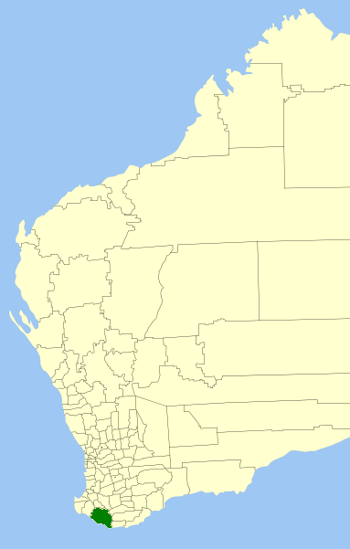
caption = Location inWestern Australia
logo =
logosize =
url =http://www.manjimup.wa.gov.au
mayor =Wade De Campo
fedgov =Forrest
stategov =Blackwood-Stirling
near-nw = Nannup
near-n = Bridgetown- Greenbushes
near-ne = Boyup Brook
near-w = Nannup
near-e = Cranbrook
Plantagenet
near-sw =
near-s =
near-se = DenmarkThe Shire of Manjimup is a Local Government Area in the South West region of
Western Australia , about convert|320|km|mi|0 south of the state capital, Perth. The Shire covers an area of convert|7027|km2|sqmi|0, and its seat of government is the town of Manjimup. It has a population of 9,880 (ABS 2001).History
The Shire area was first included in the Plantagenet, Wellington and Sussex Road Districts in 1871. Later the area was included in the Nelson Road Board District.
On 3 July 1908, the Warren Road Board was gazetted, initially consisting of 7 elected members, and in 1925 it was renamed Manjimup. On 1 July 1961, it became the Shire of Manjimup following changes to the Local Government Act. [WA Electoral Commission, "Municipality Boundary Amendments Register" (release 2.0), 31 May 2003.]
Wards
The shire has been divided into 6 wards, most of which were renamed at the 2003 election. The shire president is elected from amongst the councillors.
* Central Ward (Manjimup) (4 councillors)
* Coastal Ward (Northcliffe) (1 councillor)
* East Ward (Perup) (1 councillor)
* North Ward (1 councillor)
* South Ward (Walpole) (1 councillor)
* West Ward (Pemberton) (2 councillors)Towns/Localities
* Manjimup
* Pemberton
* Northcliffe
* WalpoleReferences
External links
* [http://www.manjimup.wa.gov.au Shire of Manjimup website]
Wikimedia Foundation. 2010.