- Shire of Cue
Infobox Australian Place | type = lga
name =Shire of Cue
state =wa
region =Mid West
area =13622.9
seat =Cue
pop =327 (2006 census)
density =
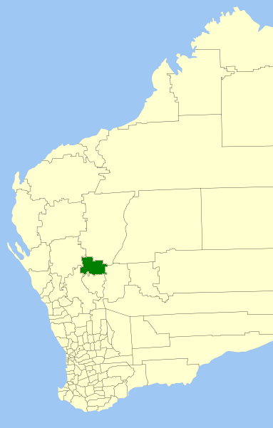
imagesize = 180
caption = Location inWestern Australia
logo =
logosize =
url =http://www.cue.wa.gov.au
mayor =Stephen Manning
fedgov =Kalgoorlie
stategov =North West
near-nw = Murchison
near-n = Meekatharra
near-ne = Meekatharra
near-e = Sandstone
near-se = Sandstone
near-s = Mount Magnet
near-sw = Yalgoo
near-w = YalgooThe Shire of Cue is a Local Government Area in the Mid West region of
Western Australia , about convert|420|km|mi|0 east-northeast of the port city of Geraldton and about convert|650|km|mi|0 north-northeast of the state capital, Perth. The Shire covers an area of convert|13623|km2|sqmi|0, and its seat of government is the town of Cue.History
Cue initially existed as two entities - the Cue Road Board, gazetted in December 1895, and the Daydawn Municipal Council, gazetted in December 1894. In 1912, they merged to form the Cue-Daydawn Road Board, which was renamed Cue in 1930. On 1 July 1961, it became a Shire Council following changes to the Local Government Act. [WA Electoral Commission, "Municipality Boundary Amendments Register" (release 2.0), 31 May 2003.]
Wards
The shire is divided into three wards:
* Cue Ward (5 councillors)
* Daydawn Ward (1 councillor)
* Tuckanarra Ward (1 councillor)Towns/Localities
* Cue
* Austin
* Big Bell
* Day Dawn
* Reedy
* Tuckanarra
* Weld RangeReferences
External links
* [http://www.cue.wa.gov.au/ Shire of Cue]
Wikimedia Foundation. 2010.