- McKee, Kentucky
-
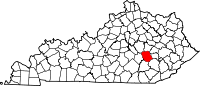
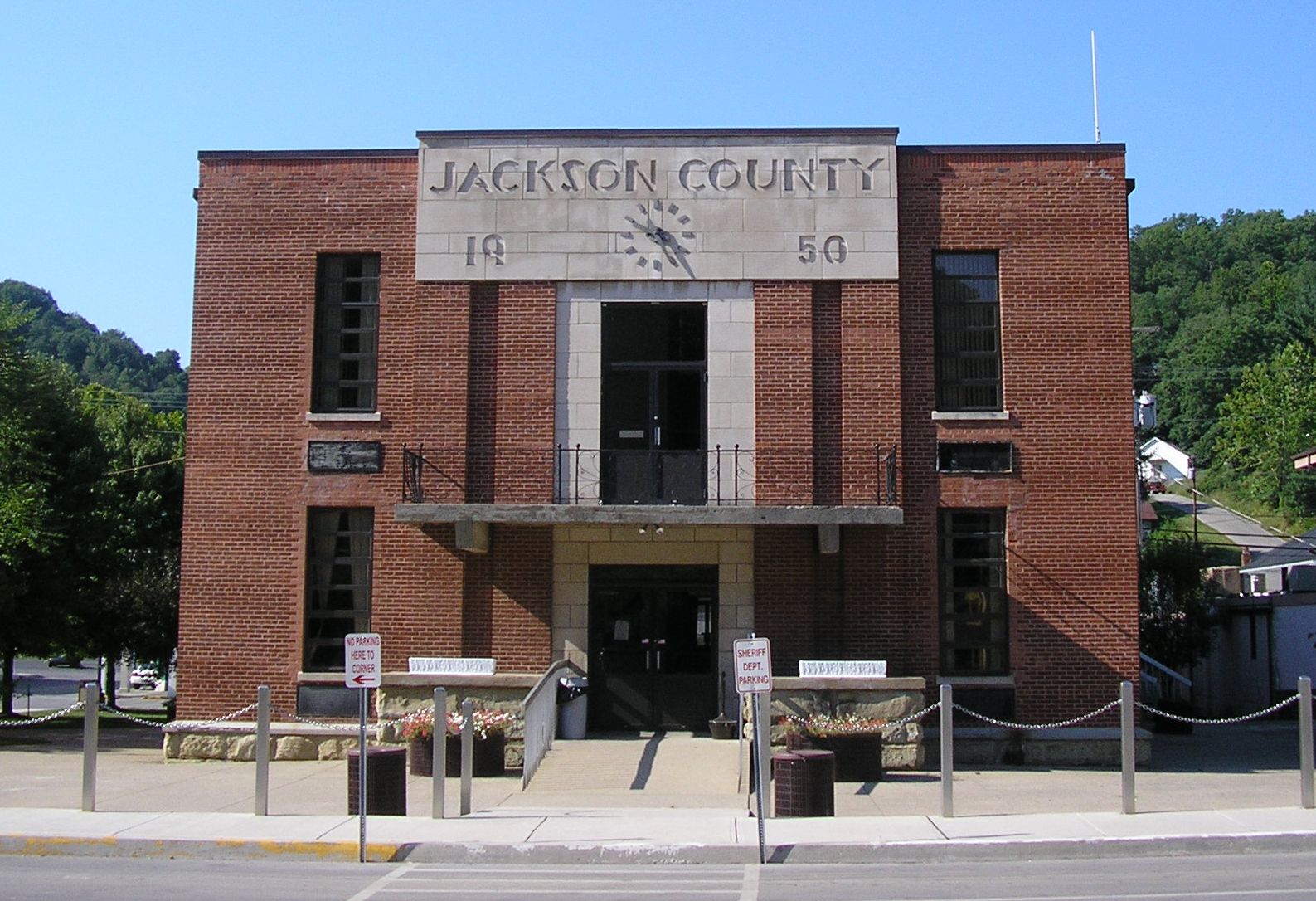
McKee, Kentucky — City — Jackson County courthouse in McKee Location of McKee, Kentucky
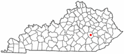
Coordinates: 37°25′49″N 83°59′37″W / 37.43028°N 83.99361°WCoordinates: 37°25′49″N 83°59′37″W / 37.43028°N 83.99361°W Country United States State Kentucky County Jackson Incorporated April 1, 1882 Government – Type Mayor-Council – Mayor Dwight K. Bishop Area – Total 2.3 sq mi (5.9 km2) – Land 2.3 sq mi (5.9 km2) – Water 0.0 sq mi (0.0 km2) Elevation 1,030 ft (314 m) Population (2000) – Total 878 – Density 385.3/sq mi (148.7/km2) Time zone Eastern (EST) (UTC-5) – Summer (DST) EDT (UTC-4) ZIP code 40447 Area code(s) 606 FIPS code 21-49116 GNIS feature ID 0513872 McKee is a city in Jackson County, Kentucky, United States. The population was 878 at the 2000 census. It is the county seat of Jackson County[1].
Geography
McKee is located at 37°25′49″N 83°59′37″W / 37.43028°N 83.99361°W (37.430412, -83.993473)[2].
According to the United States Census Bureau, the city has a total area of 2.3 square miles (6.0 km2), all of it land.
Demographics
Historical populations Census Pop. %± 1900 106 — 1910 146 37.7% 1920 173 18.5% 1930 190 9.8% 1960 234 — 1970 255 9.0% 1980 759 197.6% 1990 870 14.6% 2000 878 0.9% Est. 2009 827 [3] −5.8% U.S. Census Bureau[4] As of the census[5] of 2000, there were 878 people, 359 households, and 232 families residing in the town. The population density was 385.3 people per square mile (148.7/km²). There were 402 housing units at an average density of 176.4 per square mile (68.1/km²). The racial makeup of the city was 99.54% White, 0.11% Black or African American, and 0.34% from two or more races. Hispanic or Latino of any race were 0.11% of the population.
There were 359 households out of which 39.6% had children under the age of 18 living with them, 36.2% were married couples living together, 25.1% had a female householder with no husband present, and 35.1% were non-families. 32.0% of all households were made up of individuals and 7.8% had someone living alone who was 65 years of age or older. The average household size was 2.36 and the average family size was 2.98.
In the town the population was spread out with 31.0% under the age of 18, 15.4% from 18 to 24, 28.5% from 25 to 44, 17.1% from 45 to 64, and 8.1% who were 65 years of age or older. The median age was 27 years. For every 100 females there were 93.0 males. For every 100 females age 18 and over, there were 83.1 males.
The median income for a household in the town was $11,622, and the median income for a family was $12,857. Males had a median income of $20,000 versus $13,750 for females. The per capita income for the town was $7,589. About 48.3% of families and 53.3% of the population were below the poverty line, including 65.8% of those under age 18 and 29.8% of those age 65 or over.
References
- ^ "Find a County". National Association of Counties. http://www.naco.org/Counties/Pages/FindACounty.aspx. Retrieved 2011-06-07.
- ^ "US Gazetteer files: 2010, 2000, and 1990". United States Census Bureau. 2011-02-12. http://www.census.gov/geo/www/gazetteer/gazette.html. Retrieved 2011-04-23.
- ^ Annual Estimates of Resident Population for Incorporated Cities in Kentucky: April 1, 2000 to July 1, 2009 United States Census Bureau. Retrieved on 2010-12-19
- ^ United States Census Bureau Retrieved on 2010-12-19
- ^ "American FactFinder". United States Census Bureau. http://factfinder.census.gov. Retrieved 2008-01-31.
Municipalities and communities of Jackson County, Kentucky County seat: McKeeCity McKee
Unincorporated
communitiesEastern Mountain Coal Fields Counties Cities and towns
10k-25kCities and towns
5k-10kCities and towns
1k-5kBarbourville • Beattyville • Catlettsburg • Clay City • Cumberland • Elkhorn City • Evarts • Grayson • Greenup • Harlan • Hazard • Jackson • Jeffersonville • Jenkins • Louisa • Manchester • Olive Hill • Paintsville • Pineville • Prestonsburg • Raceland • Russell • Salyersville • South Shore • Stanton • West Liberty • Wheelwright • Whitesburg • Worthington • WurtlandCities and towns
under 1kAllen • Bellefonte • Benham • Blackey • Blaine • Booneville • Buckhorn • Camargo • Campton • Cedarville • Coal Run Village • Fleming-Neon • Frenchburg • Hindman • Hyden • Inez • Lakeview Heights • Loyall • Lynch • Martin • McKee • Pippa Passes • Sandy Hook • Vicco • Wallins Creek • Warfield • WaylandStatistical areas County seats in Kentucky Albany • Alexandria • Barbourville • Bardstown • Bardwell • Beattyville • Bedford • Benton • Booneville • Bowling Green • Brandenburg • Brooksville • Brownsville • Burkesville • Burlington • Cadiz • Calhoun • Campbellsville • Campton • Carlisle • Carrollton • Catlettsburg • Clinton • Columbia • Covington • Cynthiana • Danville • Dixon • Eddyville • Edmonton • Elizabethtown • Elkton • Falmouth • Flemingsburg • Frankfort • Franklin • Frenchburg • Georgetown • Glasgow • Grayson • Greensburg • Greenup • Greenville • Hardinsburg • Harlan • Harrodsburg • Hartford • Hawesville • Hazard • Henderson • Hickman • Hindman • Hodgenville • Hopkinsville • Hyden • Independence • Inez • Irvine • Jackson • Jamestown • La Grange • Lancaster • Lawrenceburg • Lebanon • Leitchfield • Lexington • Liberty • London • Louisa • Louisville • Madisonville • Manchester • Marion • Mayfield • Maysville • McKee • Monticello • Morehead • Morganfield • Morgantown • Mount Olivet • Mount Sterling • Mount Vernon • Munfordville • Murray • New Castle • Nicholasville • Owensboro • Owenton • Owingsville • Paducah • Paintsville • Paris • Pikeville • Pineville • Prestonsburg • Princeton • Richmond • Russellville • Salyersville • Sandy Hook • Scottsville • Shelbyville • Shepherdsville • Smithland • Somerset • Springfield • Stanford • Stanton • Taylorsville • Tompkinsville • Vanceburg • Versailles • Warsaw • West Liberty • Whitesburg • Whitley City • Wickliffe • Williamsburg • Williamstown • WinchesterCategories:- Populated places in Jackson County, Kentucky
- County seats in Kentucky
- Populated places established in 1882


Wikimedia Foundation. 2010.