- West Liberty, Kentucky
Infobox Settlement
official_name = West Liberty, Kentucky
settlement_type =City
nickname =
motto =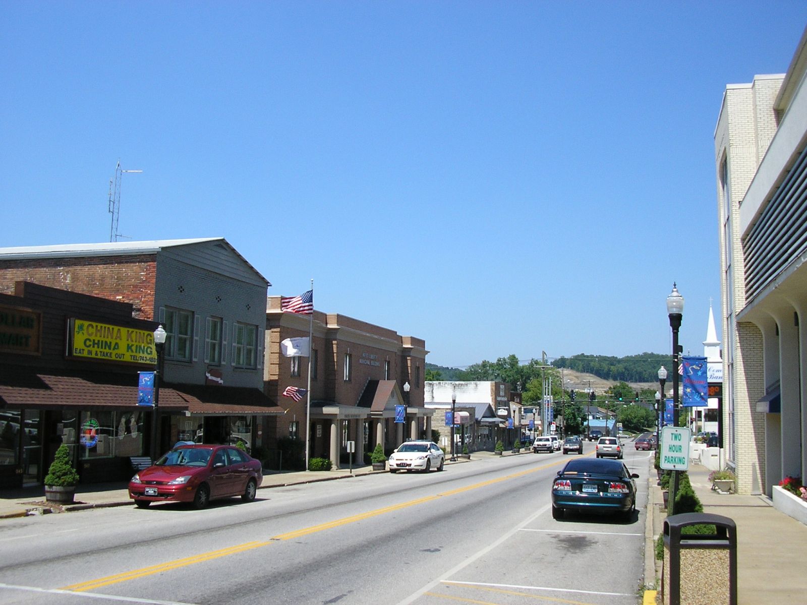
imagesize = 250px
image_caption = Downtown West Liberty
image_
mapsize = 250px
map_caption = Location of West Liberty, Kentucky
mapsize1 =
map_caption1 =subdivision_type = Country
subdivision_name =United States
subdivision_type1 = State
subdivision_name1 =Kentucky
subdivision_type2 = County
subdivision_name2 = Morgan
government_footnotes =
government_type =
leader_title =
leader_name =
leader_title1 =
leader_name1 =
established_title =
established_date =unit_pref = Imperial
area_footnotes =area_magnitude =
area_total_km2 = 11.5
area_land_km2 = 11.5
area_water_km2 = 0.0
area_total_sq_mi = 4.4
area_land_sq_mi = 4.4
area_water_sq_mi = 0.0population_as_of = 2000
population_footnotes =
population_total = 3277
population_density_km2 = 285.4
population_density_sq_mi = 739.3timezone = Eastern (EST)
utc_offset = -5
timezone_DST = EDT
utc_offset_DST = -4
elevation_footnotes =
elevation_m = 249
elevation_ft = 817
latd = 37 |latm = 54 |lats = 59 |latNS = N
longd = 83 |longm = 15 |longs = 41 |longEW = Wpostal_code_type =
ZIP code
postal_code = 41472
area_code = 606
blank_name = FIPS code
blank_info = 21-81858
blank1_name = GNIS feature ID
blank1_info = 0516279
website =
footnotes =West Liberty is a city in Morgan County,
Kentucky ,United States . The population was 3,277 at the 2000 census. It is thecounty seat of Morgan CountyGR|6. It is on the banks of the Licking River at the junction ofKentucky Route 7 andUS 460 .By 1816 an early settlement at the town site was called Wells Mills. When Morgan County was founded in 1823, the settlement was incorporated to become the county seat. The town is actually 100 miles east of
Liberty, Kentucky - the name "West Liberty" was chosen in the belief thatPikeville, Kentucky would be called "Liberty" when it incorporated.Three Civil War skirmishes were fought near West Liberty, and much of the town was burned during the war, including the courthouse. It was replaced after the war, and a fourth courthouse was built in 1907.
Geography
West Liberty is located at coor dms|37|54|59|N|83|15|41|W|city (37.916320, -83.261386)GR|1. It is within the state's eastern region
foothills , about 20 miles fromCave Run Lake andDaniel Boone National Forest .According to the
United States Census Bureau , the city has a total area of 4.4square mile s (11.5km² ), all of it land.Demographics
As of the
census GR|2 of 2000, there were 3,277 people, 696 households, and 446 families residing in the city. Thepopulation density was 739.3 people per square mile (285.6/km²). There were 758 housing units at an average density of 171.0/sq mi (66.1/km²). The racial makeup of the city was 79.43% White, 18.19% African American, 0.40% Native American, 0.21% Asian, 0.06% Pacific Islander, 0.21% from other races, and 1.50% from two or more races. Hispanic or Latino of any race were 1.25% of the population. This racial makeup is somewhat misleading, however, as the population of the Eastern Kentucky Correction Complex accounts for much of the minority count.There were 696 households out of which 27.6% had children under the age of 18 living with them, 47.7% were married couples living together, 14.1% had a female householder with no husband present, and 35.8% were non-families. 32.8% of all households were made up of individuals and 14.7% had someone living alone who was 65 years of age or older. The average household size was 2.15 and the average family size was 2.71.
In the city the population was spread out with 10.1% under the age of 18, 14.8% from 18 to 24, 44.2% from 25 to 44, 19.4% from 45 to 64, and 11.5% who were 65 years of age or older. The median age was 36 years. For every 100 females there were 264.5 males. For every 100 females age 18 and over, there were 297.4 males. This unusual ratio is explained by the presence of the
Eastern Kentucky Correctional Complex , as mentioned below.The median income for a household in the city was $21,429, and the median income for a family was $30,875. Males had a median income of $25,417 versus $19,464 for females. The
per capita income for the city was $11,215. About 25.7% of families and 28.6% of the population were below thepoverty line , including 41.6% of those under age 18 and 26.4% of those age 65 or over.
=Landmarks and eventsWest Liberty celebrates the annualSorghum Festival on the last full weekend of September. Generally, the festival garners a few thousand each year, featuring a moderate variety ofAppalachia n crafts, local art, food, and other sundry items for sale and/or show. There is also a parade. Thefestival also hosts a number of bluegrass performers. The festival is locally known for the "old mill," a horse-drawnsorghum mill, as well as the Sorghum Bowl, the local high school's homecoming football game.West Liberty is home to the
Eastern Kentucky Correctional Complex . An extended campus branch ofMorehead State University andUniversity of Kentucky 's Regional Technology Center are both located within the town.References
External links
Wikimedia Foundation. 2010.