- Flemingsburg, Kentucky
Infobox Settlement
official_name = Flemingsburg, Kentucky
settlement_type =City
nickname =
motto =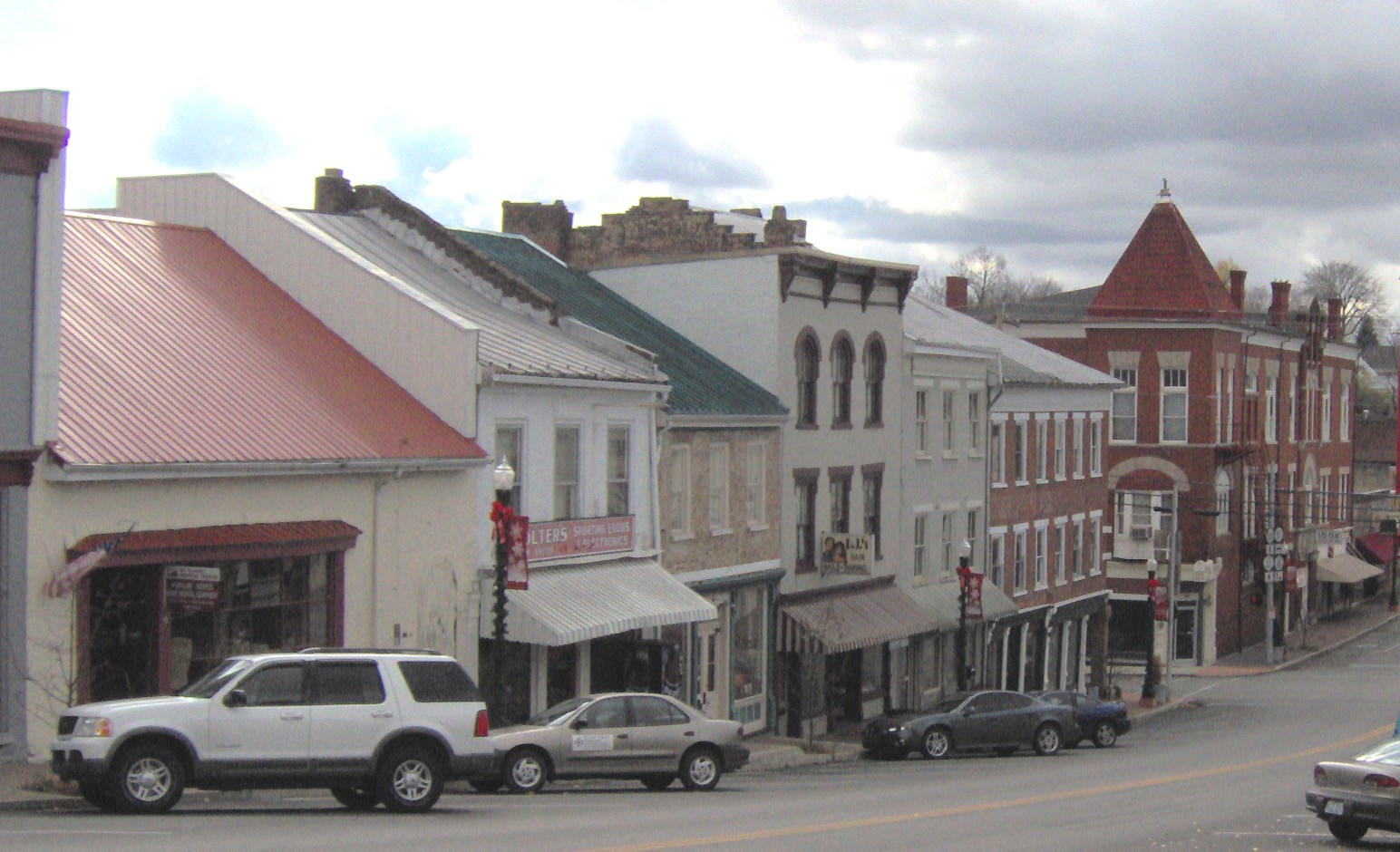
imagesize = 200px
image_caption =
image_
mapsize = 250px
map_caption = Location of Flemingsburg, Kentucky
mapsize1 =
map_caption1 =subdivision_type = Country
subdivision_name =United States
subdivision_type1 = State
subdivision_name1 =Kentucky
subdivision_type2 = County
subdivision_name2 = Fleming
government_footnotes =
government_type =
leader_title =
leader_name =
leader_title1 =
leader_name1 =
established_title =
established_date =unit_pref = Imperial
area_footnotes =area_magnitude =
area_total_km2 = 6.9
area_land_km2 = 6.6
area_water_km2 = 0.2
area_total_sq_mi = 2.6
area_land_sq_mi = 2.6
area_water_sq_mi = 0.1population_as_of = 2000
population_footnotes =
population_total = 3010
population_density_km2 = 454.9
population_density_sq_mi = 1178.2timezone = Eastern (EST)
utc_offset = -5
timezone_DST = EDT
utc_offset_DST = -4
elevation_footnotes =
elevation_m = 248
elevation_ft = 814
latd = 38 |latm = 25 |lats = 14 |latNS = N
longd = 83 |longm = 44 |longs = 15 |longEW = Wpostal_code_type =
ZIP code
postal_code = 41041
area_code = 606
blank_name = FIPS code
blank_info = 21-27856
blank1_name = GNIS feature ID
blank1_info = 0492237
website =
footnotes =Flemingsburg is a city in Fleming County,
Kentucky ,United States . The population was 3,010 at the 2000 census. It is thecounty seat of Fleming CountyGR|6.Geography
Flemingsburg is located at coor dms|38|25|14|N|83|44|15|W|city (38.420541, -83.737581)GR|1.
According to the
United States Census Bureau , the city has a total area of 2.7square mile s (6.9km² ), of which, 2.5 square miles (6.6 km²) of it is land and 0.1 square miles (0.2 km²) of it (3.40%) is water.Demographics
As of the
census GR|2 of 2000, there were 3,010 people, 1,294 households, and 821 families residing in the city. Thepopulation density was 1,178.2 people per square mile (455.8/km²). There were 1,434 housing units at an average density of 561.3/sq mi (217.1/km²). The racial makeup of the city was 92.72% White, 5.05% African American, 0.10% Native American, 0.40% Asian, 0.43% from other races, and 1.30% from two or more races. Hispanic or Latino of any race were 1.03% of the population.There were 1,294 households out of which 29.3% had children under the age of 18 living with them, 45.5% were married couples living together, 14.8% had a female householder with no husband present, and 36.5% were non-families. 33.9% of all households were made up of individuals and 18.2% had someone living alone who was 65 years of age or older. The average household size was 2.25 and the average family size was 2.87.
In the city the population was spread out with 23.3% under the age of 18, 7.9% from 18 to 24, 25.2% from 25 to 44, 23.2% from 45 to 64, and 20.5% who were 65 years of age or older. The median age was 41 years. For every 100 females there were 81.3 males. For every 100 females age 18 and over, there were 74.1 males.
The median income for a household in the city was $23,708, and the median income for a family was $33,365. Males had a median income of $26,550 versus $21,165 for females. The
per capita income for the city was $14,914. About 15.0% of families and 19.0% of the population were below thepoverty line , including 23.5% of those under age 18 and 26.8% of those age 65 or over.Noted inhabitants
*
James J. Andrews ,American Civil War spy
*Landaff Andrews ,United States Representative
*Herman Chittison ,jazz musician
*Leander Cox , United States Representative
*Joseph J. Reynolds ,Union army general
*Lawrence S. Trimble , United States RepresentativeReferences
External links
Wikimedia Foundation. 2010.