- Harrodsburg, Kentucky
Infobox Settlement
official_name = Harrodsburg, Kentucky
settlement_type =City
nickname =
motto =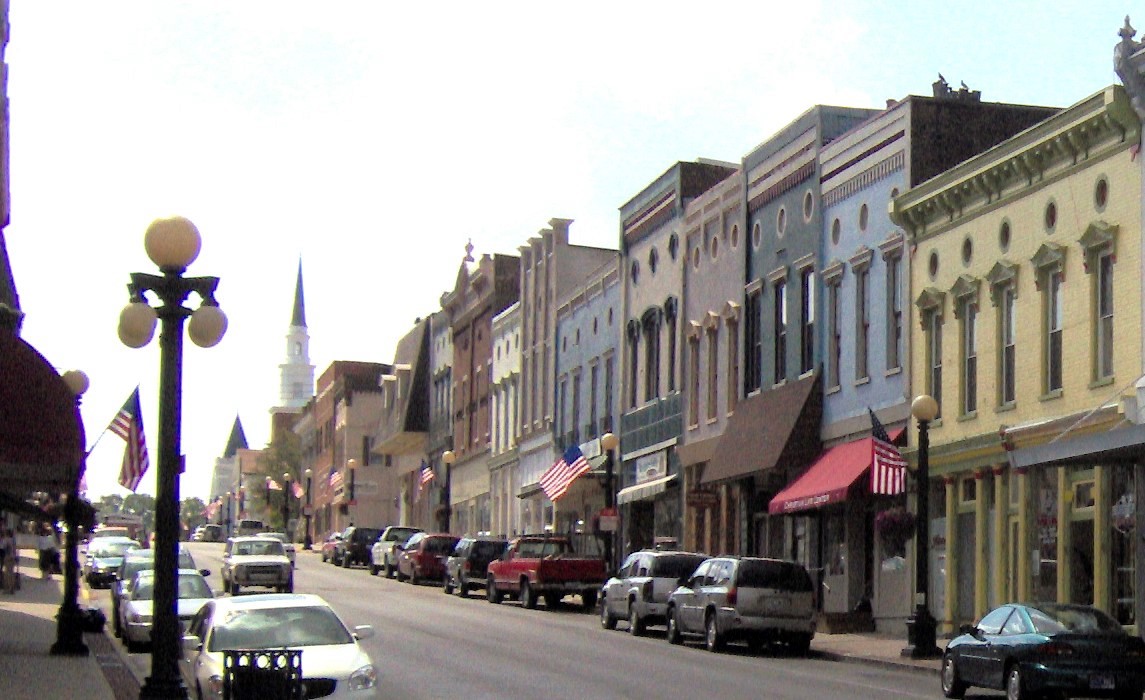
imagesize = 250px
image_caption = Downtown Harrodsburg
image_
mapsize = 250px
map_caption = Location of Harrodsburg, Kentucky
mapsize1 =
map_caption1 =subdivision_type = Country
subdivision_name =United States
subdivision_type1 = State
subdivision_name1 =Kentucky
subdivision_type2 = County
subdivision_name2 = Mercer
government_footnotes =
government_type =
leader_title =
leader_name =
leader_title1 =
leader_name1 =
established_title =
established_date =unit_pref = Imperial
area_footnotes =area_magnitude =
area_total_km2 = 13.7
area_land_km2 = 13.7
area_water_km2 = 0.0
area_total_sq_mi = 5.3
area_land_sq_mi = 5.3
area_water_sq_mi = 0.0population_as_of = 2000
population_footnotes =
population_total = 8014
population_density_km2 = 583.2
population_density_sq_mi = 1510.5timezone = Eastern (EST)
utc_offset = -5
timezone_DST = EDT
utc_offset_DST = -4
elevation_footnotes =
elevation_m = 259
elevation_ft = 850
latd = 37 |latm = 45 |lats = 50 |latNS = N
longd = 84 |longm = 50 |longs = 46 |longEW = Wpostal_code_type =
ZIP code
postal_code = 40330
area_code = 859
blank_name = FIPS code
blank_info = 21-34966
blank1_name = GNIS feature ID
blank1_info = 0493831
website =
footnotes =Harrodsburg is a city in and the
county seat of Mercer County,Kentucky ,United States .GR|6 The population was 8,014 at the 2000 census. It is the oldest city inKentucky .History
Harrodsburg was founded in 1774 by
James Harrod , and was initially known as Harrod's Town or Harrodstown. The settlement was abandoned as a result of attacks by Native Americans inDunmore's War that same year, but was resettled in 1775, nominally part of the proposed Transylvania colony. Transylvania was invalidated when Kentucky became a county ofVirginia in 1776. Harrodsburg was the scene of much fighting with Native Americans during theAmerican Revolutionary War .Geography
Harrodsburg is located at coor dms|37|45|50|N|84|50|46|W|city (37.764019, -84.845974)GR|1.
According to the
United States Census Bureau , the city has a total area of 5.3square mile s (13.8km² ), all of it land.Demographics
As of the
census GR|2 of 2000, there were 8,014 people, 3,449 households, and 2,234 families residing in the city. Thepopulation density was 1,510.5 people per square mile (582.7/km²). There were 3,709 housing units at an average density of 699.1/sq mi (269.7/km²). The racial makeup of the city was 88.92% White, 7.52%African American , 0.14% Native American, 0.76% Asian, 0.02% Pacific Islander, 1.14% from other races, and 1.50% from two or more races. Hispanics or Latinos of any race were 2.15% of the population.There were 3,449 households out of which 31.3% had children under the age of 18 living with them, 45.4% were married couples living together, 15.3% had a female householder with no husband present, and 35.2% were non-families. 32.1% of all households were made up of individuals and 16.6% had someone living alone who was 65 years of age or older. The average household size was 2.32 and the average family size was 2.91.
The age distribution was 25.1% under the age of 18, 9.0% from 18 to 24, 28.2% from 25 to 44, 20.9% from 45 to 64, and 16.8% who were 65 years of age or older. The median age was 36 years. For every 100 females there were 85.7 males. For every 100 females age 18 and over, there were 79.8 males.
The median income for a household in the city was $27,500, and the median income for a family was $34,503. Males had a median income of $31,214 versus $21,216 for females. The
per capita income for the city was $15,327. About 14.2% of families and 17.1% of the population were below thepoverty line , including 21.1% of those under age 18 and 13.2% of those age 65 or over.ee Also
*
Low Dutch Station Notable natives
*
Beriah Magoffin ,Governor of Kentucky (1859 – 1862) and namesake ofMagoffin County, Kentucky References
External links
Wikimedia Foundation. 2010.