- Morganfield, Kentucky
-
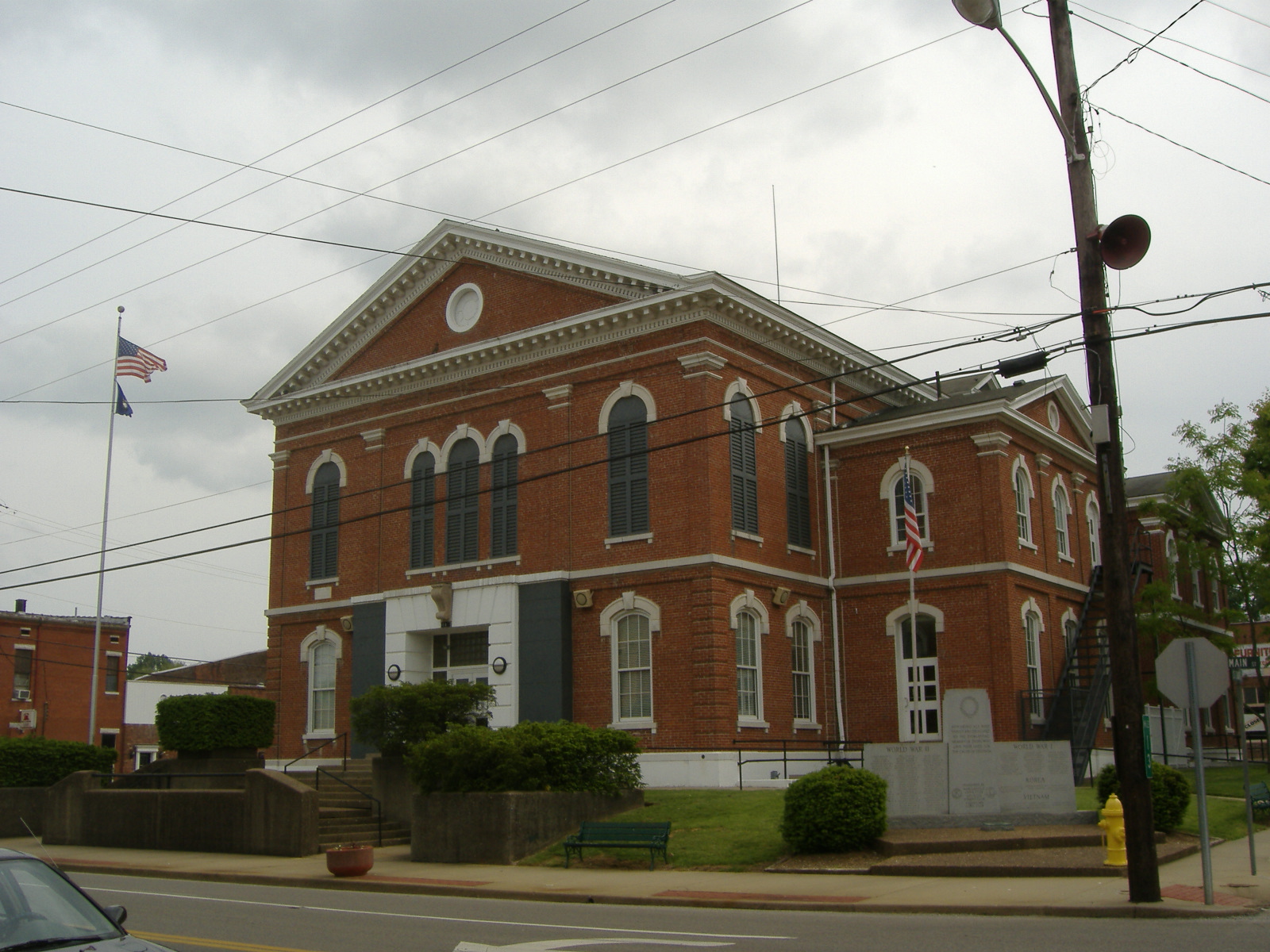
Morganfield — City — Union County Courthouse in Morganfield Location of Morganfield within Kentucky.
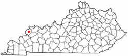
Coordinates: 37°41′4″N 87°54′43″W / 37.68444°N 87.91194°WCoordinates: 37°41′4″N 87°54′43″W / 37.68444°N 87.91194°W Country United States State Kentucky County Union Incorporated 1812 Government – Mayor Jerry Freer Area – Total 2.1 sq mi (5.5 km2) – Land 2.1 sq mi (5.4 km2) – Water 0.0 sq mi (0.1 km2) Elevation 436 ft (133 m) Population (2000) – Total 3,494 Time zone CST (UTC-6) – Summer (DST) CDT (UTC-5) ZIP Code 42437 Area code(s) 270 FIPS code 21-53472 GNIS feature ID 0498597 Website Unknown Morganfield is a city in Union County, Kentucky, United States. The population was 3,494 at the 2000 census. It is the county seat of Union County[1]. The city is named for Revolutionary War General Daniel Morgan, who received the land the city sits on in return for his military service.[2]
Contents
Geography
Morganfield is located at 37°41′04″N 87°54′43″W / 37.684502°N 87.911893°W.[3]
According to the United States Census Bureau, the city has a total area of 2.1 square miles (5.5 km²), of which, 2.1 square miles (5.4 km²) of it is land and 0.04 square miles (0.1 km²) of it (1.42%) is water.
Demographics
As of the census[4] of 2000, there were 3,494 people, 1,434 households, and 926 families residing in the city. The population density was 1,671.5 people per square mile (645.5/km²). There were 1,581 housing units at an average density of 756.3 per square mile (292.1/km²). The racial makeup of the city was 82.34% White, 16.23% African American, 0.03% Native American, 0.17% Asian, 0.17% from other races, and 1.06% from two or more races. Hispanic or Latino of any race were 0.86% of the population.
There were 1,434 households out of which 28.0% had children under the age of 18 living with them, 47.6% were married couples living together, 14.1% had a female householder with no husband present, and 35.4% were non-families. 32.4% of all households were made up of individuals and 15.1% had someone living alone who was 65 years of age or older. The average household size was 2.37 and the average family size was 3.01.
In the city the population was spread out with 24.5% under the age of 18, 9.3% from 18 to 24, 24.8% from 25 to 44, 24.7% from 45 to 64, and 16.7% who were 65 years of age or older. The median age was 39 years. For every 100 females there were 84.9 males. For every 100 females age 18 and over, there were 81.7 males.
The median income for a household in the city was $38,676, and the median income for a family was $52,864. Males had a median income of $32,831 versus $22,736 for females. The per capita income for the city was $19,251. About 9.9% of families and 12.3% of the population were below the poverty line, including 19.2% of those under age 18 and 15.1% of those age 65 or over.
Notable natives
- Earle C. Clements - former governor of Kentucky
- Kassie DePaiva - soap opera actress
- Dwane Casey - Currently the Head Coach for the NBA's Toronto Raptors. Former College Basketball player and assistant coach for the Kentucky Wildcats, and former Minnesota Timberwolves head coach
- Dottie Rambo - Gospel singer/song writer
- Mallory Ervin - Miss Kentucky 2009; 4th Runner-up at Miss America 2010.
- John Selby Townsend, Iowa jurist and legislator
Camp Breckinridge
Morganfield is located near Camp Breckinridge, a World War II prisoner of war camp. The Associated Press reported on May 22, 2007, a continuing dispute regarding the families of displaced residents of the area that became Camp Breckinridge and the U.S. government. Former U.S. Supreme Court Justice Sandra Day O'Connor was named as a mediator in the dispute in February 2007.
About 40,000 soldiers preparing for the war stayed at the camp. The camp also held about 3,000 German prisoners of war before being deactivated in 1949.
Schools
Morganfield is served by the Union County Public Schools, Kentucky. Elementary students attend Morganfield Elementary. Middle and High School students attend Union County Middle School & Union County High School located outside Morganfield. A parochial school, St Ann is located in Morganfield
References
- ^ "Find a County". National Association of Counties. http://www.naco.org/Counties/Pages/FindACounty.aspx. Retrieved 2011-06-07.
- ^ "Dictionary of Places: Morganfield". Encyclopedia of Kentucky. New York, New York: Somerset Publishers. 1987. ISBN 0403099811.
- ^ "US Gazetteer files: 2010, 2000, and 1990". United States Census Bureau. 2011-02-12. http://www.census.gov/geo/www/gazetteer/gazette.html. Retrieved 2011-04-23.
- ^ "American FactFinder". United States Census Bureau. http://factfinder.census.gov. Retrieved 2008-01-31.
External links
- City of Morganfield Home Page
- Morganfield Chamber of Commerce
- Article on Camp Breckinridge property dispute
- Union County Schools
Municipalities and communities of Union County, Kentucky Cities 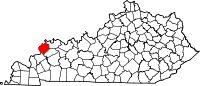
CDP Categories:- Populated places established in 1812
- Cities in Kentucky
- Populated places in Union County, Kentucky
- County seats in Kentucky


Wikimedia Foundation. 2010.