- Independence, Kentucky
Infobox Settlement
official_name = Independence, Kentucky
settlement_type =City
nickname =
motto =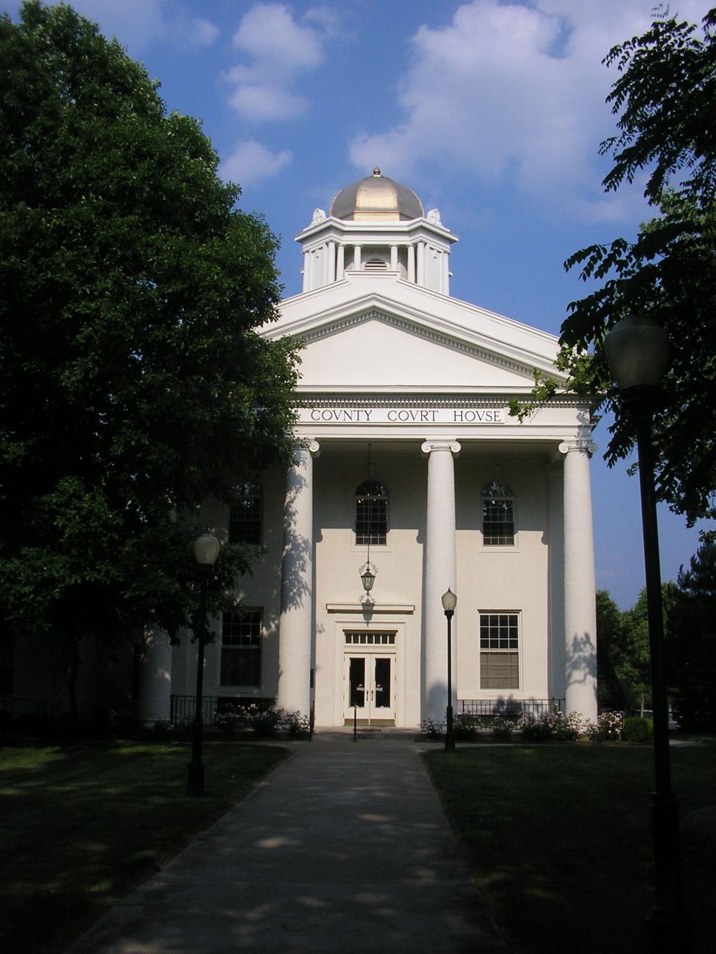
imagesize = 250px
image_caption = Kenton County Courthouse in Independence
image_
mapsize = 250px
map_caption = Location of Independence, Kentucky
mapsize1 =
map_caption1 =subdivision_type = Country
subdivision_name =United States
subdivision_type1 = State
subdivision_name1 =Kentucky
subdivision_type2 = County
subdivision_name2 = Kenton
government_footnotes =
government_type =
leader_title =
leader_name =
leader_title1 =
leader_name1 =
established_title =
established_date =unit_pref = Imperial
area_footnotes =area_magnitude =
area_total_km2 = 43.5
area_land_km2 = 43.4
area_water_km2 = 0.0
area_total_sq_mi = 16.8
area_land_sq_mi = 16.8
area_water_sq_mi = 0.0population_as_of = 2000
population_footnotes =
population_total = 14982
population_density_km2 = 344.9
population_density_sq_mi = 893.2timezone = Eastern (EST)
utc_offset = -5
timezone_DST = EDT
utc_offset_DST = -4
elevation_footnotes =
elevation_m = 274
elevation_ft = 899
latd = 38 |latm = 57 |lats = 13 |latNS = N
longd = 84 |longm = 32 |longs = 49 |longEW = Wpostal_code_type =
ZIP code
postal_code = 41051
area_code = 859
blank_name = FIPS code
blank_info = 21-39142
blank1_name = GNIS feature ID
blank1_info = 0494900
website =
footnotes =Independence is a suburban city in Kenton County,
Kentucky ,United States . The population was 14,982 at the 2000 census. It is one of twocounty seat s of Kenton County [http://www.thinkkentucky.com/edis/deskbook/files/landarea.pdf] . In 1842 the county of Campbell was split to form a new county, Kenton, named after a pioneer who'd helped explore the territory,Simon Kenton . The city of Independence was incorporated in 1842 to mark its independence from Campbell County.Geography
Independence is located at coor dms|38|57|13|N|84|32|49|W|city (38.953668, -84.546990)GR|1.
According to the
United States Census Bureau , the city has a total area of 16.8square mile s (43.5km² ), of which, 16.8 square miles (43.4 km²) of it is land and 0.06% is water.Demographics
As of the
census GR|2 of 2000, there were 14,982 people, 5,181 households, and 4,149 families residing in the city. Thepopulation density was 893.2 people per square mile (344.9/km²). There were 5,391 housing units at an average density of 321.4/sq mi (124.1/km²). The racial makeup of the city was 97.20% White, 0.96% African American, 0.18% Native American, 0.40% Asian, 0.02% Pacific Islander, 0.36% from other races, and 0.87% from two or more races. Hispanic or Latino of any race were 1.15% of the population.There were 5,181 households out of which 44.9% had children under the age of 18 living with them, 62.9% were married couples living together, 12.1% had a female householder with no husband present, and 19.9% were non-families. 15.0% of all households were made up of individuals and 3.4% had someone living alone who was 65 years of age or older. The average household size was 2.89 and the average family size was 3.21.
In the city the population was spread out with 30.4% under the age of 18, 9.2% from 18 to 24, 35.3% from 25 to 44, 18.5% from 45 to 64, and 6.5% who were 65 years of age or older. The median age was 31 years. For every 100 females there were 101.6 males. For every 100 females age 18 and over, there were 97.3 males.
The median income for a household in the city was $51,002, and the median income for a family was $55,030. Males had a median income of $39,213 versus $26,807 for females. The
per capita income for the city was $20,191. About 5.4% of families and 6.5% of the population were below thepoverty line , including 9.2% of those under age 18 and 4.2% of those age 65 or over.Cultural
chools
* Beechgrove Elementary School [http://www.beechgrove.kenton.k12.ky.us/ web]
* Community Christian Academy
* Kenton Elementary [http://www.ke.kenton.k12.ky.us/ web]
* Simon Kenton High School [http://www.sk.kenton.k12.ky.us/ web]
* St. Cecilia School [http://www.stcrusaders.org/ web]
* Summit View Elementary School [http://www.sve.kenton.k12.ky.us/ web]
* Summit View Middle School [http://www.svms.kenton.k12.ky.us/ web]
* Twenhofel Middle School [http://www.twms.kenton.k12.ky.us/ web]
* Whites Tower Elementary [http://www.whites.kenton.k12.ky.us/ web]Parks
* Banklick Woods
* Bowman Field
* Doe Run Lake
* Memorial Park
* Mills Road Park
* Pioneer Park
* Richardson Road Park
* Sterling Staggs ParkFire
* Independence Fire District [http://www.independencekyfire.org/ web]
References
External links
* [http://www.nkyviews.com/kenton/kenton.htm Historical Texts and Images of Independence, Kentucky]
* [http://www.cityofindependence.org/ The City of Independence Website]
* [http://www.41051.com/ 41051.com - A community website for Independence, Kentucky]
Wikimedia Foundation. 2010.