- Jessamine County, Kentucky
-
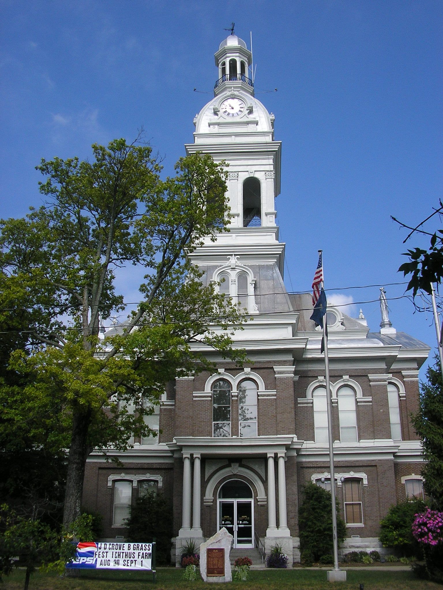
Jessamine County, Kentucky 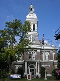 Jessamine County courthouse in Nicholasville, Kentucky
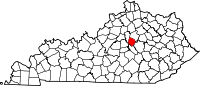
Location in the state of Kentucky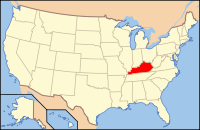
Kentucky's location in the U.S.Founded 1799 Named for Jessamine Creek Seat Nicholasville Area
- Total
- Land
- Water
174.45 sq mi (452 km²)
173.13 sq mi (448 km²)
1.32 sq mi (3 km²), 0.76%Population
- (2010)
- Density
48,586
226/sq mi (87/km²)Time zone Eastern: UTC-5/-4 Website www.jessamineco.com Jessamine County is a county located in the U.S. state of Kentucky. It is within the Inner Blue Grass region, which was the center of farming and blooded stock raising, including thoroughbred horses. It was formed in 1799. The population was 48,586 in the 2010 Census. Its county seat is Nicholasville.[1] Jessamine County is part of the Lexington-Fayette, KY Metropolitan Statistical Area.
With regard to the sale of alcohol, it is classified as a "moist county", where alcohol sales are prohibited (a dry county), but that contains a "wet" city, in this case Nicholasville, where package alcohol sales are allowed. The Chrisman Mill Vineyards is also authorized to operate and sell its product in the dry portion of the county.[2]
Contents
Geography
According to the 2000 census, the county has a total area of 174.45 square miles (451.8 km2), of which 173.13 square miles (448.4 km2) (or 99.24%) is land and 1.32 square miles (3.4 km2) (or 0.76%) is water.[3]
Adjacent counties
- Fayette County (northeast)
- Madison County (southeast)
- Garrard County (south)
- Mercer County (southwest)
- Woodford County (northwest)
Demographics
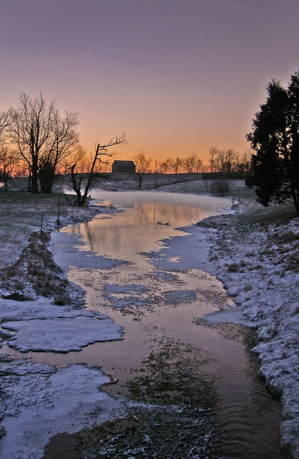
 Sunrise over a rural farm in Jessamine County
As of the census[4] of 2000, there were 39,041 people, 13,867 households, and 10,663 families residing in the county. The population density was 226 per square mile (87 /km2). There were 14,646 housing units at an average density of 85 per square mile (33 /km2). The racial makeup of the county was 94.44% White, 3.13% Black or African American, 0.20% Native American, 0.58% Asian, 0.03% Pacific Islander, 0.47% from other races, and 1.14% from two or more races. 1.31% of the population were Hispanic or Latino of any race.
Historical populations Census Pop. %± 1800 5,461 — 1810 8,377 53.4% 1820 9,297 11.0% 1830 9,960 7.1% 1840 9,396 −5.7% 1850 10,249 9.1% 1860 9,465 −7.6% 1870 8,638 −8.7% 1880 10,864 25.8% 1890 11,248 3.5% 1900 11,925 6.0% 1910 12,613 5.8% 1920 12,205 −3.2% 1930 12,431 1.9% 1940 12,174 −2.1% 1950 12,458 2.3% 1960 13,625 9.4% 1970 17,430 27.9% 1980 26,146 50.0% 1990 30,508 16.7% 2000 39,041 28.0% 2010 48,586 24.4% http://ukcc.uky.edu/~census/21113.txt There were 13,867 households out of which 38.80% had children under the age of 18 living with them, 61.90% were married couples living together, 11.10% had a female householder with no husband present, and 23.10% were non-families. 18.50% of all households were made up of individuals and 6.50% had someone living alone who was 65 years of age or older. The average household size was 2.69 and the average family size was 3.05.
The age distribution was 26.40% under the age of 18, 11.60% from 18 to 24, 31.10% from 25 to 44, 21.40% from 45 to 64, and 9.50% who were 65 years of age or older. The median age was 33 years. For every 100 females there were 96.60 males. For every 100 females age 18 and over, there were 92.80 males.
The median income for a household in the county was $40,096, and the median income for a family was $46,152. Males had a median income of $32,340 versus $23,771 for females. The per capita income for the county was $18,842. About 8.40% of families and 10.50% of the population were below the poverty line, including 13.70% of those under age 18 and 9.90% of those age 65 or over.
Cities and towns
- Brannon Woods
- High Bridge
- Nicholasville
- Wilmore
- Keene
Transportation
The Lexington Area MPO is responsible for transportation planning for Fayette and Jessamine Counties. This includes activities such as carpool matching, administering a commuter vanpool program, air quality forecasting, bicycle and pedestrian planning, congestion management, and developing transportation plans and documents.
See also
References
- ^ "Find a County". National Association of Counties. http://www.naco.org/Counties/Pages/FindACounty.aspx. Retrieved 2011-06-07.
- ^ "Wet & Dry Counties in Kentucky". Kentucky Office of Alcoholic Beverage Control. http://www.abc.ky.gov/NR/rdonlyres/88403470-8A7E-410C-9816-8B520F7649C8/0/WetDryList.pdf. Retrieved 2007-03-21.
- ^ "Census 2000 U.S. Gazetteer Files: Counties". United States Census. http://www.census.gov/tiger/tms/gazetteer/county2k.txt. Retrieved 2011-02-13.
- ^ "American FactFinder". United States Census Bureau. http://factfinder.census.gov. Retrieved 2008-01-31.
External links
- Official website of Lexington Area Metropolitan Planning Organization
- Official website of Jessamine County
- Official website of Camp Nelson Civil War Historic Site
Municipalities and communities of Jessamine County, Kentucky County seat: Nicholasville Cities Unincorporated
communitiesBrannon Woods | High Bridge
Lexington-Fayette Metropolitan Area Central city 
Municipalities with population
over 10,000Municipalities with population
5,000-10,000Municipalities with population
under 5,000Counties Categories:- Kentucky counties
- Jessamine County, Kentucky
- Lexington–Fayette metropolitan area
- 1799 establishments in the United States
- Populated places established in 1799


Wikimedia Foundation. 2010.