- McKees Rocks Bridge
-
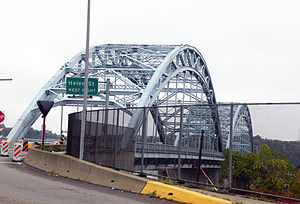
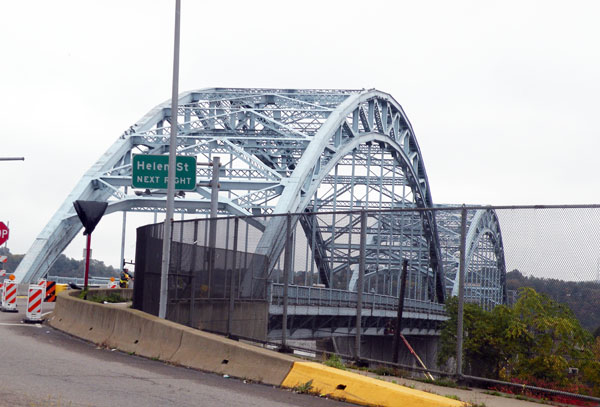
McKees Rocks Bridge 
Carries  SR 3104 / Blue Belt
3 lanes of roadwayCrosses Ohio River Locale McKees Rocks, Pennsylvania Design Through arch bridge Total length 7,293 ft (2,223 m) Longest span 750 ft (230 m) Clearance below 100 ft (30 m) Opened 1931 Coordinates 40°28′37″N 80°02′56″W / 40.47704°N 80.0489°WCoordinates: 40°28′37″N 80°02′56″W / 40.47704°N 80.0489°W McKees Rocks BridgeLocation: SR 3104 over Ohio River at Brighton Heights and McKees Rocks, Pennsylvania Built: 1931 Architect: Covell, V.R. Architectural style: Other Governing body: State MPS: Highway Bridges Owned by the Commonwealth of Pennsylvania, Department of Transportation TR NRHP Reference#: 88002168 Added to NRHP: November 14, 1988[1] The McKees Rocks Bridge is a steel trussed through arch bridge which carries the Blue Belt across the Ohio River at Brighton Heights and McKees Rocks, Pennsylvania, west of Pittsburgh.
At 7,293 feet (2,223 m) long, it is the longest bridge in Allegheny County.
Built in 1931, it was listed on the National Register of Historic Places in 1988.[1]
See also
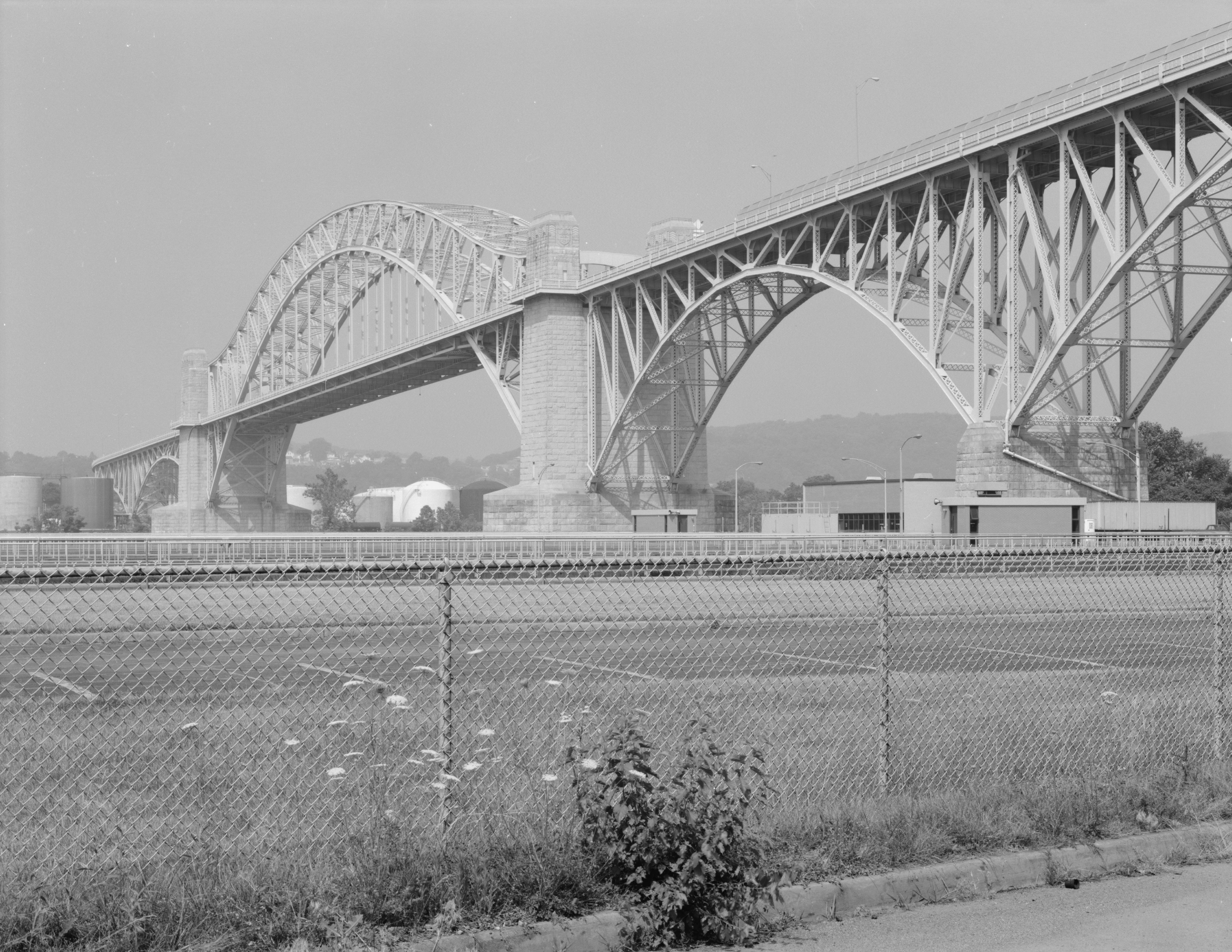
 The McKees Rocks Bridge from Island Avenue in McKees Rocks, Pennsylvania. This stretch of the bridge was the successor to the O'Donovan Bridge, which ran from Island Avenue to the "Bottoms" of McKees Rocks from 1904 to 1931.
References
- ^ a b "National Register Information System". National Register of Historic Places. National Park Service. 2008-04-15. http://nrhp.focus.nps.gov/natreg/docs/All_Data.html.
External links
- Historic American Engineering Record (HAER) No. PA-445, "McKee's Rocks Bridge, Spanning Ohio River at Chartiers Avenue (State Route 3014), McKees Rocks, Allegheny County, PA," 17 photos and 15 data pages
- McKees Rocks Bridge at pghbridges.com
Bridges of the Ohio River Upstream
Ohio Connecting Railroad BridgeMcKees Rocks Bridge
Downstream
Neville Island Bridge

Bridges and tunnels on the National Register of Historic Places Alabama · Alaska · Arizona · Arkansas · California · Colorado · Connecticut · Delaware · Florida · Georgia · Guam · Hawaii · Idaho · Illinois · Indiana · Iowa · Kansas · Kentucky · Louisiana · Maine · Maryland · Massachusetts · Michigan · Minnesota · Mississippi · Missouri · Montana · Nebraska · Nevada · New Hampshire · New Jersey · New Mexico · New York · North Carolina · North Dakota · Ohio · Oklahoma · Oregon · Pennsylvania (covered) · Puerto Rico · Rhode Island · South Carolina · South Dakota · Tennessee · Texas · Utah · Vermont · Virginia · Washington · Washington, D.C. · West Virginia · Wisconsin · Wyoming
Road transportation infrastructure of the metro Pittsburgh area Interstates U.S. Routes Pennsylvania State Routes Named roads/streets Becks Run Road · Boulevard of the Allies · Brownsville Road · Canton Avenue · Carson Street · Centre Avenue · Curry Hollow Road · Fifth Avenue · Forbes Avenue · Fort Pitt Boulevard · Lebanon Church Road · Liberty Avenue · Penn Avenue · Pennsylvania Turnpike · Saw Mill Run Boulevard · Stanwix Street · Walnut StreetBridges 16th Street Bridge · 30th Street Bridge · 31st Street Bridge · 40th Street Bridge · Birmingham Bridge · Fort Duquesne Bridge · Fort Pitt Bridge · George Westinghouse Bridge · Glenwood Bridge · Highland Park Bridge · Homestead Grays Bridge · Hot Metal Bridge · Liberty Bridge · McKees Rocks Bridge · Panther Hollow Bridge · Schenley Bridge · Senator Robert D. Fleming Bridge · Smithfield Street Bridge · South Tenth Street Bridge · Three Sisters (Roberto Clemente Bridge, Andy Warhol Bridge, Rachel Carson Bridge) · Veterans Bridge · West End BridgeTunnels Wayfinder systems Allegheny County Belt System · Pittsburgh Wayfinder SystemCategories:- Bridges over the Ohio River
- Bridges on the National Register of Historic Places in Pennsylvania
- Bridges completed in 1931
- Bridges in Allegheny County, Pennsylvania
- 1931 architecture
- Pittsburgh History & Landmarks Foundation Historic Landmarks
- Road bridges in Pennsylvania
- Pennsylvania Registered Historic Place stubs
- Pittsburgh, Pennsylvania stubs
- United States bridge (structure) stubs

Wikimedia Foundation. 2010.