- Pennsylvania Route 910
-
PA Route 910
Route information Maintained by PennDOT Length: 19.21 mi[1] (30.92 km) Existed: 1928 – present Major junctions West end:  I-79 in Wexford
 US 19 in Wexford
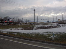
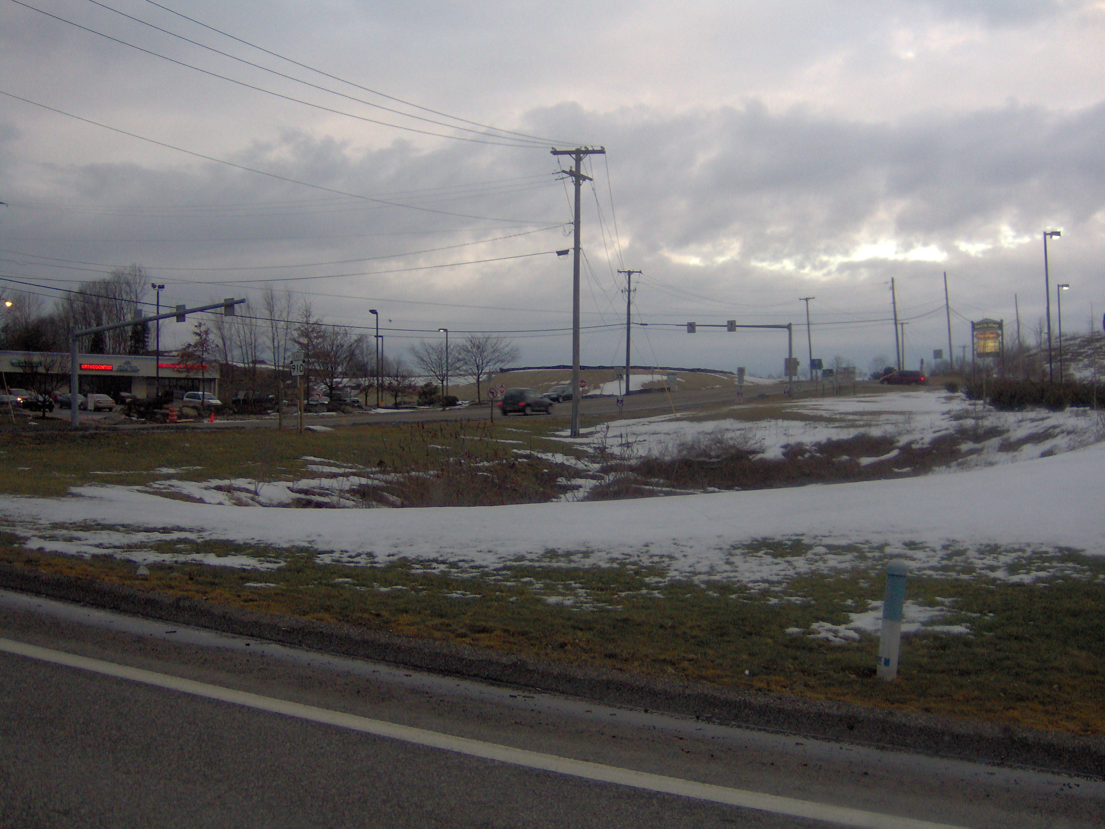
 PA 8 near Gibsonia
 PA 28 in Harmarville
East end: Freeport Road in Harmarville Location Counties: Allegheny Highway system Roads in Pennsylvania
Interstate • US • State • Legislative←  PA 909
PA 911  →
→Pennsylvania Route 910 (PA 910) is an east–west state highway in Allegheny County, Pennsylvania, in the Pittsburgh Metropolitan Area. It travels nineteen miles (30 km) between I-79 in Wexford and Freeport Road, former Pennsylvania Route 28 in Harmarville.
Two portions of the Allegheny County Belt System routes run along PA 910:
- Orange Belt (11 miles) from PA 910's western terminus in Franklin Park to Oak Rd. in Gibsonia
- Yellow Belt (6.3 miles) from Cedar Ridge Rd. in Allison Park to PA 910's eastern terminus in Harmarville
Contents
Route description
PA 910 begins at an interchange with I-79 on the border of Franklin Park and Marshall Township, heading east-northeast on three-lane undivided Wexford Bayne Road into Marshall Township, carrying two westbound lanes and one eastbound lane. At this point, the route is concurrent with the Orange Belt of the Allegheny County Belt System. The road passes a few businesses before narrowing to two lanes and running past residential subdivisions. PA 910 continues into Pine Township and comes to an interchange with US 19 in Wexford. At this point, the route becomes Wexford Road and heads east through forested areas. Farther east, the road passes through a mix of woods and residential development, entering Richland Township. In this area, PA 910 becomes Gibsonia Road and passes over I-76 (Pennsylvania Turnpike) before heading through wooded areas of homes. The route passes through Gibsonia and crosses a Buffalo and Pittsburgh Railroad line, passing through more wooded residential areas as it comes to an intersection with PA 8 in a commercial area.[2][3]
Past this, the road turns southeast and runs near more housing subdivisions, crossing into West Deer Township and passing near businesses. At the intersection with Oak Road, the Orange Belt splits from PA 910 by heading east on that road, and PA 910 curves south. The route turns southeast and then south again, passing a mix of fields, woods, and homes. At the Cedar Ridge Road intersection, the Yellow Belt joins PA 910 for the remainder of the route and the road heads into Indiana Township, coming to another bridge over the Pennsylvania Turnpike). The road curves southeast through woods before passing through the residential community of Dorseyville. The route heads east and crosses over the Pennsylvania Turnpike again, making another turn to the southeast through wooded areas of development. PA 910 heads south and passes over the Pennsylvania Turnpike a fourth time, reaching the community of Indianola. The route continues southeast through wooded areas of residential and commercial development a short distance to the west of the Pennsylvania Turnpike, entering Harmar Township. The road becomes Indianola Road and passes through forests, becoming a three-lane road with two eastbound lanes and one westbound lane. PA 910 makes a sharp turn to the southwest and becomes a two-lane divided highway, coming to an interchange with the PA 28 freeway. At this point, the route widens into a four-lane divided highway and passes businesses, reaching its terminus at Freeport Road.[2][3]
Major intersections
The entire route is in Allegheny County.
Location Mile[1] Destinations Notes Franklin Park 0.00 I-79I-79 exit 73 Pine Township US 19 (Perry Highway)Interchange Richland Township PA 8 (William Flinn Highway)Harmar Township PA 28 (Allegheny Valley Expressway)PA 28 exit 11 19.21 Freeport Road 1.000 mi = 1.609 km; 1.000 km = 0.621 mi References
- ^ a b Pennsylvania State Roads - 2010. Harrisburg, Pennsylvania: Pennsylvania Department of Tranpsortation. 2010.
- ^ a b Google, Inc. Google Maps – overview of Pennsylvania Route 910 (Map). Cartography by Google, Inc. http://maps.google.com/maps?f=d&source=s_d&saddr=Wexford+Bayne+Rd&daddr=40.61878,-79.90813+to:PA+910+and+freeport+road&geocode=FQC_awIdTtw5-w%3BFRzLawId3rI8-ykrgJHP3ZE0iDHoUPbLzwJ31Q%3BFd2LagIdosA9-ym9zdPAZZM0iDG4Y9c-f8V3SA&hl=en&mra=dpe&mrsp=1&sz=12&via=1&sll=40.586842,-79.958839&sspn=0.117066,0.338173&ie=UTF8&ll=40.587364,-79.958839&spn=0.117065,0.338173&t=h&z=12. Retrieved May 25, 2011.
- ^ a b PennDOT (2011). Allegheny County, Pennsylvania Highway Map (Map). ftp://ftp.dot.state.pa.us/public/pdf/BPR_pdf_files/Maps/GHS/Roadnames/allegheny_GHSN.PDF. Retrieved May 25, 2011.
External links
Categories:- State highways in Pennsylvania

Wikimedia Foundation. 2010.