Centre Avenue (Pittsburgh)
- Centre Avenue (Pittsburgh)
Centre Ave is a busy street that is one of several main thoroughfares in Pittsburgh, Pennsylvania. It stretches from Sixth Avenue near the Allegheny County Courthouse to East Liberty.
Because of redevelopments to areas at both ends of Centre Avenue, the street is now somewhat shorter than it had been in 1970. At its downtown end, it now ends at Sixth Avenue. It lost about 500 feet (160 m) when the old Plaza building was razed and the "T" (subway) was built. At its other terminus, it was shortened by about 1000 feet (320 m) when East Liberty was re-designed and Penn Circle South produced. Charts produced prior to 1970 were drawn with Centre Avenue longer than its current length.
Photographs
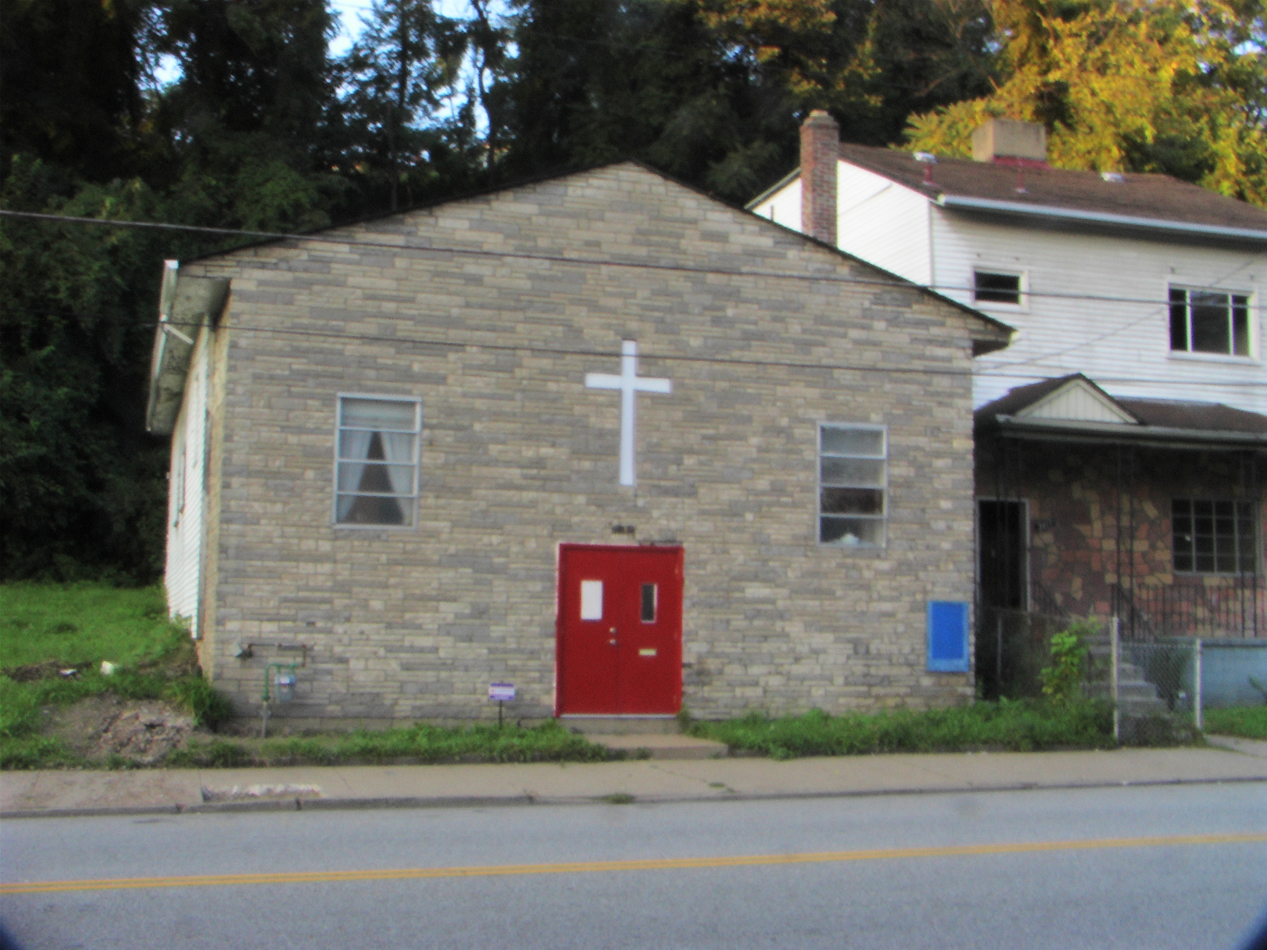
Church_on_Centre_Avenue_in_the_Hill District
Wikimedia Foundation.
2010.
Look at other dictionaries:
Liberty Avenue (Pittsburgh) — is a road starting in downtown Pittsburgh, just outside of Point State Park, Liberty Ave. goes through Downtown Pittsburgh, the Strip District, Bloomfield, and ends in Shadyside at its intersection with Centre Avenue and Aiken Avenue.trip… … Wikipedia
Liberty Avenue (Pittsburgh) — Liberty Avenue est une rue de la ville de Pittsburgh, dans l État de Pennsylvanie, aux États Unis. Elle débute dans le centre de Pittsburgh, traverse les quartiers de Strip District, de Bloomfield, et se termine à Shadyside, à l intersection de… … Wikipédia en Français
National Register of Historic Places listings in Pittsburgh, Pennsylvania — Location of Pittsburgh in Allegheny County This is a list of the National Register of Historic Places listings in Pittsburgh, Pennsylvania. This is intended to be a complete list of the properties and districts on National Register of Historic… … Wikipedia
Church of the Epiphany (Pittsburgh) — Church of the Epiphany Pittsburgh History and Landmarks Foundation Historic Landmark … Wikipedia
Shadyside (Pittsburgh) — Infobox Pittsburgh neighborhood name = Shadyside caption = Street in Shadyside, 2001. locator population1990 = 13385 population2000 = 13754 latd = 40.450 longd = 79.935 area sqmi = 0.921Shadyside is a neighborhood in the East End of Pittsburgh,… … Wikipedia
Cambria Suites Pittsburgh — (Питтсбург,США) Категория отеля: 3 звездочный отель Адрес: 1320 Centre Avenue, Пит … Каталог отелей
Synagogue Rodef Shalom de Pittsburgh — 40° 26′ 53″ N 79° 56′ 37″ W / 40.44805556, 79.94361111 … Wikipédia en Français
Downtown Pittsburgh — Coordinates: 40°26′28″N 80°00′00″W / 40.441°N 80.000°W / 40.441; 80.000 … Wikipedia
Downtown Pittsburgh, Pennsylvania — NOTOC Infobox Pittsburgh neighborhood name = Downtown aka = Central Business District; Golden Triangle caption = locator caption = locator population1990 = 3785 population2000 = 2721 latd = 40.441 longd = 80.000 area sqmi = 0.64Downtown… … Wikipedia
Oxford Centre — View of One Oxford Centre from West End Bridge General information Type Office Coordinates … Wikipedia