- National Register of Historic Places listings in Texas, Counties A-C
-
The following is a list of places within the state of Texas that are listed in the National Register of Historic Places. There are properties and/or districts listed in most, if not all, of Texas's 254 counties.
The tables below are intended to provide a complete list of properties and districts listed on the National Register of Historic Places in Texas counties covered in this article. The locations of National Register properties and districts (at least for all showing latitude and longitude coordinates below) may be seen in a Google map by clicking on "Map of all coordinates".[1]
The names on the list are as they were entered in the register; some place names are inaccurate or have changed since being added.
Contents: Counties A-C · Counties D-G · Counties H-J · Counties K-S · Counties T-Z
(links in italic lead to a new page)Anderson - Andrews - Angelina - Aransas - Archer - Armstrong - Atascosa - Austin - Bandera - Bastrop - Bee - Bell - Bexar - Blanco - Bosque - Bowie - Brazoria - Brazos - Brewster - Briscoe - Brown - Burleson - Burnet - Caldwell - Calhoun - Callahan - Cameron - Carson - Cass - Chambers - Cherokee - Clay - Coke - Collin - Collingsworth - Colorado - Comal - Concho - Cooke - Coryell - Cottle - Crockett - Crosby - Culberson -
- This National Park Service list is complete through NPS recent listings posted November 10, 2011.[2]
Anderson County
Andrews County
[3] Landmark name[4] Image Date listed Location City or Town Summary 1 Andrews Lake Sites November 22, 1978 Address Restricted Andrews Ref. #78002886 Angelina County
Aransas County
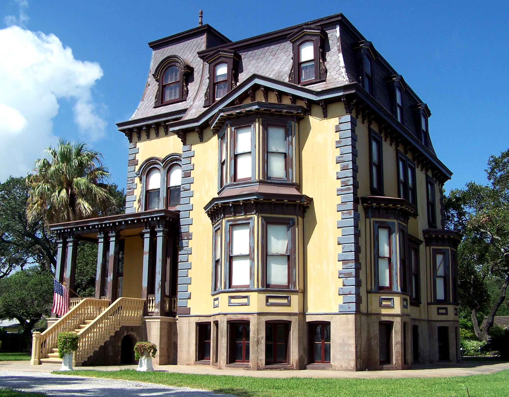
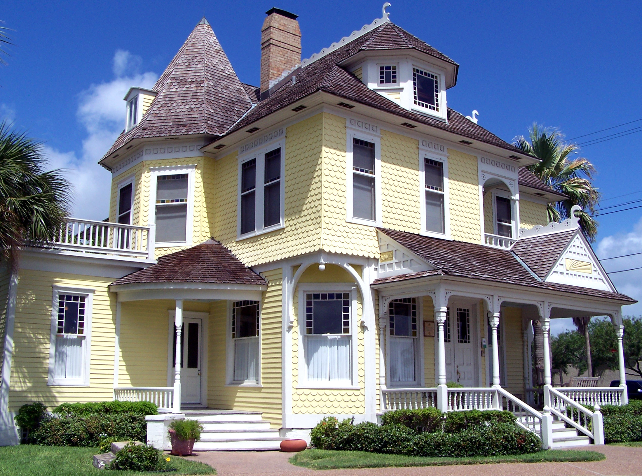
[3] Landmark name[4] Image Date listed Location City or Town Summary 1 George W. Fulton Mansion 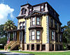
April 24, 1975 Fulton Beach Rd.
28°3′27.36″N 97°2′5.28″W / 28.0576°N 97.0348°WFulton Second Empire style house built between 1872 & 1875 for George Ware Fulton. Now a Texas State Historic State offering tours. Ref. #75001945 2 Kent-Crane Shell Midden June 21, 1984 Liveoak Peninsula on Copano Bay Fulton Ref. #84001565, 41AS3 3 Aransas Pass Light Station August 3, 1977 N of Port Aransas on Harbor Island
27°51′51″N 97°3′23″W / 27.86417°N 97.05639°WPort Aransas Brick lighthouse built in 1857, Ref. #77001423 4 Hoopes-Smith House 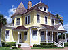
August 19, 1994 417 N. Broadway
28°1′37.5″N 97°2′59″W / 28.027083°N 97.04972°WRockport A Queen Anne style house built between 1890 & 1892 for James M. Hoopes and his family. Now a Bed & Breakfast. Ref. #94001016 5 T. H. Mathis House June 21, 1971 612 Church St.
28°1′9″N 97°3′19″W / 28.01917°N 97.05528°WRockport Greek Revival style residence still owned by the same family. Ref. #71000918 Archer County
[3] Landmark name[4] Image Date listed Location City or Town Summary 1 Archer County Courthouse and Jail 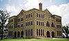
December 23, 1977 Public Sq. and Sycamore and Pecan Sts.
33°35′42″N 98°37′31″W / 33.595°N 98.62528°WArcher City Romanesque Revival design. Constructed in 1891-1892. Ref. #71000918 Armstrong County
[3] Landmark name[4] Image Date listed Location City or Town Summary 1 Charles and Mary Ann (Molly) Goodnight Ranch House September 20, 2007 US 287 and 5000 Block County Road 25 Goodnight Ref. #7000988 2 J A Ranch 
October 15, 1966 Palo Duro Canyon
34°49′0″N 101°11′17″W / 34.816667°N 101.18806°WPalo Duro Ref. #66000807, aka Goodnight Ranch 3 Palo Duro Pen July 12, 1984 Address Restricted Claude Ref. #84001568, 41AM5 4 Palo Duro Shelter 
July 12, 1984 Address Restricted Claude Ref. #84001569, 41AM6 Atascosa County
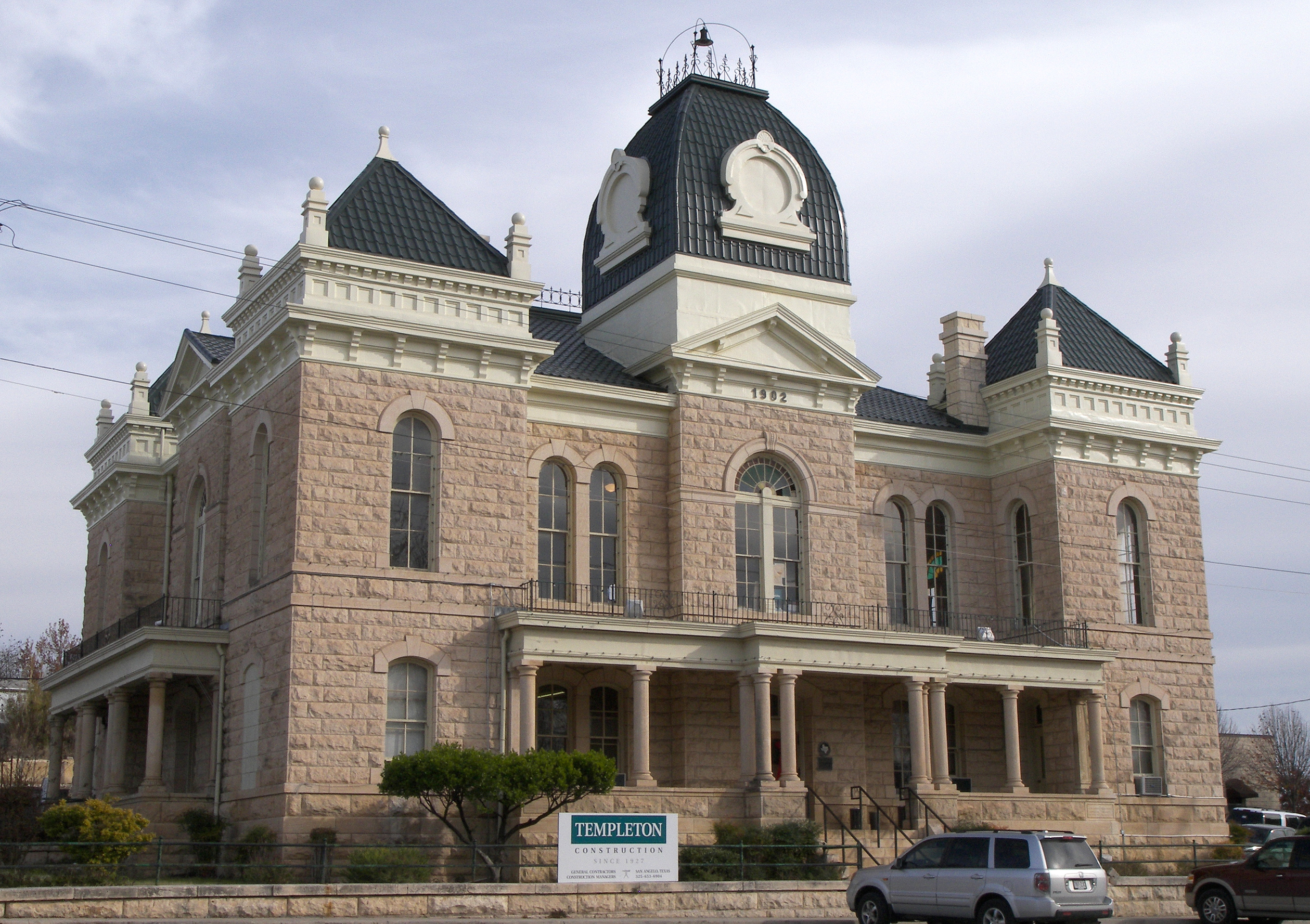
[3] Landmark name[4] Image Date listed Location City or Town Summary 1 Atascosa County Courthouse 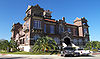
December 30, 1997 Circle Dr.
28°55′11″N 98°32′46″W / 28.91972°N 98.54611°WJourdanton Mission Revival style completed in 1912. Ref. #97001598 2 Korus Farmstead July 15, 1998 US-281 at Farm-to-Market Rd. 536
29°6′59″N 98°29′7″W / 29.11639°N 98.48528°WLeming Ref. #98000876 3 Frederick and Sallie Lyons House February 20, 2001 801 Live Oak St.
28°58′0″N 98°29′13.5″W / 28.966667°N 98.487083°WPleasanton Modified L-plan building constructed between 1912 and 1913. Ref. #01000061 Austin County
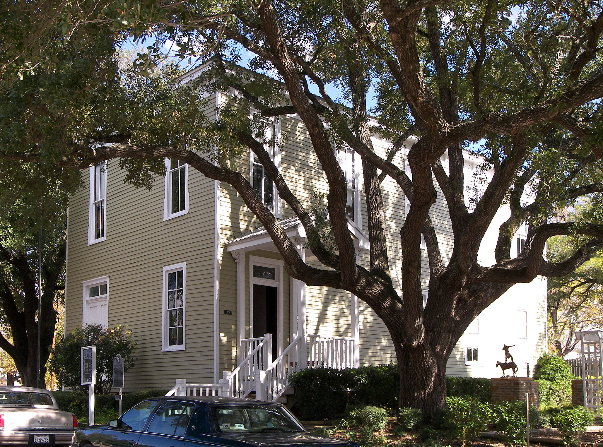
[3] Landmark name[4] Image Date listed Location City or Town Summary 1 Allens Creek Ossuary Site March 21, 1975 Address Restricted Wallis Ref. #75001946, 41AU36, aka Earnest Witte Site 2 Austin County Jail 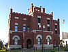
November 12, 1980 36 S. Bell St.
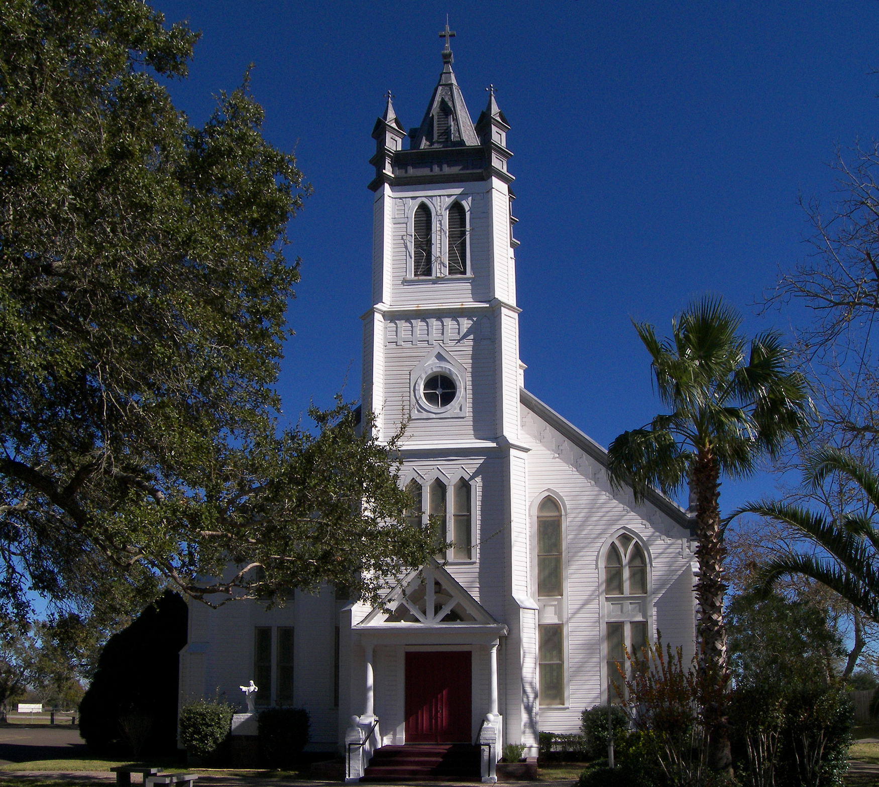
29°56′58″N 96°15′27″W / 29.94944°N 96.2575°WBellville Ref. #80004074 3 Church of the Guardian Angel 
June 21, 1983 5614 Demel St.
29°37′28″N 96°3′18″W / 29.62444°N 96.055°WWallis Ref. #83003074 4 Old Masonic Hall 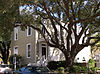
August 14, 1986 15 N. Masonic St.
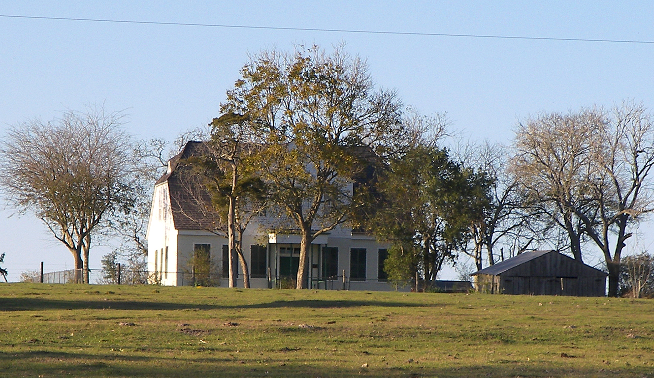
29°57′4″N 96°15′29″W / 29.95111°N 96.25806°WBellville Ref. #86001611 5 Roesler House May 10, 1984 W of Nelsonville on TX 159
29°58′32″N 96°26′15″W / 29.97556°N 96.4375°WNelsonville Ref. #84001570 6 Wesley Brethren Church January 18, 1979 S of Wesley
30°3′55″N 96°29′53″W / 30.06528°N 96.49806°WWesley Ref. #79002910 7 Witte-Schmid House 
December 8, 1997 Off Schoenau, near jct. with Eckermann
30°0′7″N 96°33′38″W / 30.00194°N 96.56056°WShelby Ref. #97001531 Bandera County
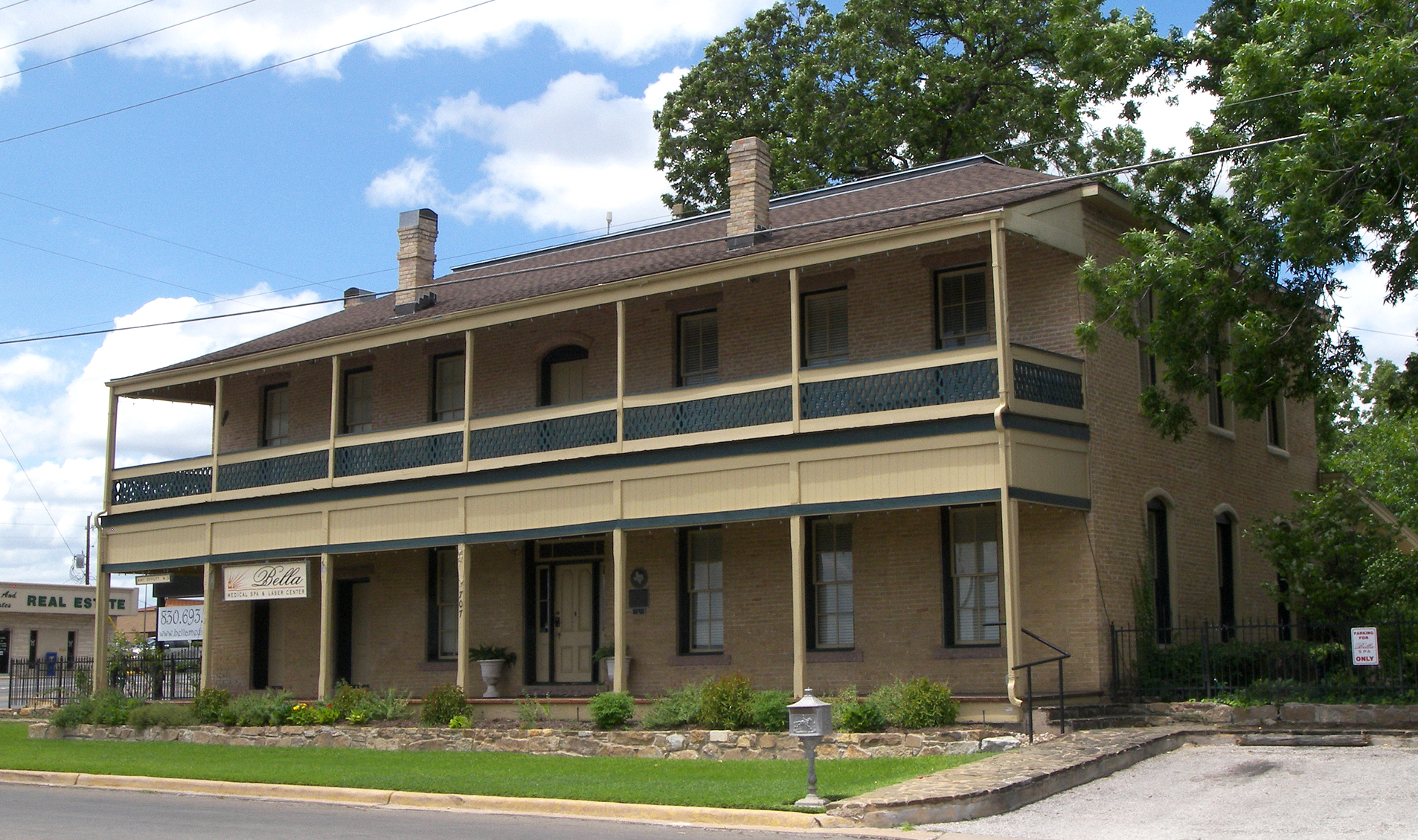
[3] Landmark name[4] Image Date listed Location City or Town Summary 1 Bandera County Courthouse and Jail 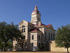
October 31, 1979 Public Sq., 12th and Maple Sts.
29°43′36″N 99°4′21″W / 29.72667°N 99.0725°WBandera Ref. #79002911 2 Jureczki House 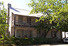
January 11, 1980 607 Cypress St.
29°43′13″N 99°4′31″W / 29.72028°N 99.07528°WBandera Ref. #80004075 3 B.F. Langford Jr. and Mary Hay House 
March 22, 2004 415 Fourteenth St.
29°43′42″N 99°4′13″W / 29.72833°N 99.07028°WBandera Ref. #04000229 Bastrop County
Bee County
Bell County
Bexar County
Blanco County
[3] Landmark name[4] Image Date listed Location City or Town Summary 1 Blanco Historic District July 16, 1991 Roughly bounded by Fifth St., Live Oak St., Town Cr. and rear property lines W of Main St.
30°5′52″N 98°25′20″W / 30.09778°N 98.42222°WBlanco 2 Adrian Edwards Conn House November 19, 1971 Jct. of U.S. 281 and SW boundary of courthouse square
30°5′47″N 98°25′21″W / 30.09639°N 98.4225°WBlanco 3 Lyndon B. Johnson National Historical Park 
December 2, 1969 Lyndon B. Johnson National Historical Park
30°16′31″N 98°24′37″W / 30.27528°N 98.41028°WJohnson City 4 Round Mountain Stage-Coach Inn and Stable March 31, 1978 RM 962 off U.S. 281
30°25′41″N 98°20′23″W / 30.42806°N 98.33972°WRound Mountain Bosque County
Bowie County
Brazoria County
Brazos County
Brewster County
Briscoe County
[3] Landmark name[4] Image Date listed Location City or Town Summary 1 Lake Theo Folsom Site Complex April 28, 1975 Address Restricted Quitaque 2 Mayfield Dugout June 18, 1973 7 mi. NW of Silverton
34°30′29″N 101°25′26″W / 34.50806°N 101.42389°WSilverton Brown County
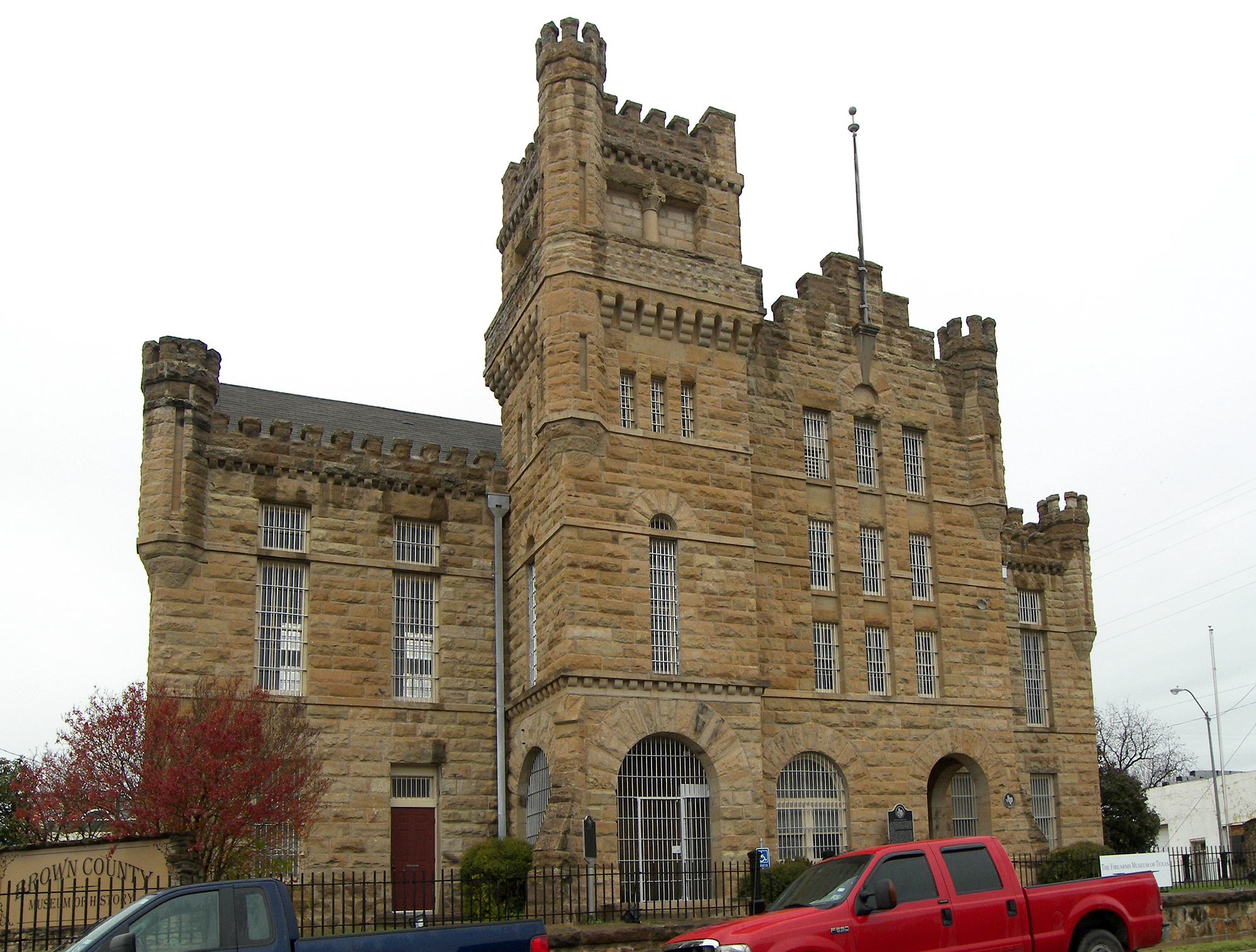
[3] Landmark name[4] Image Date listed Location City or Town Summary 1 Brown County Jail 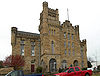
September 22, 1983 401 W. Broadway
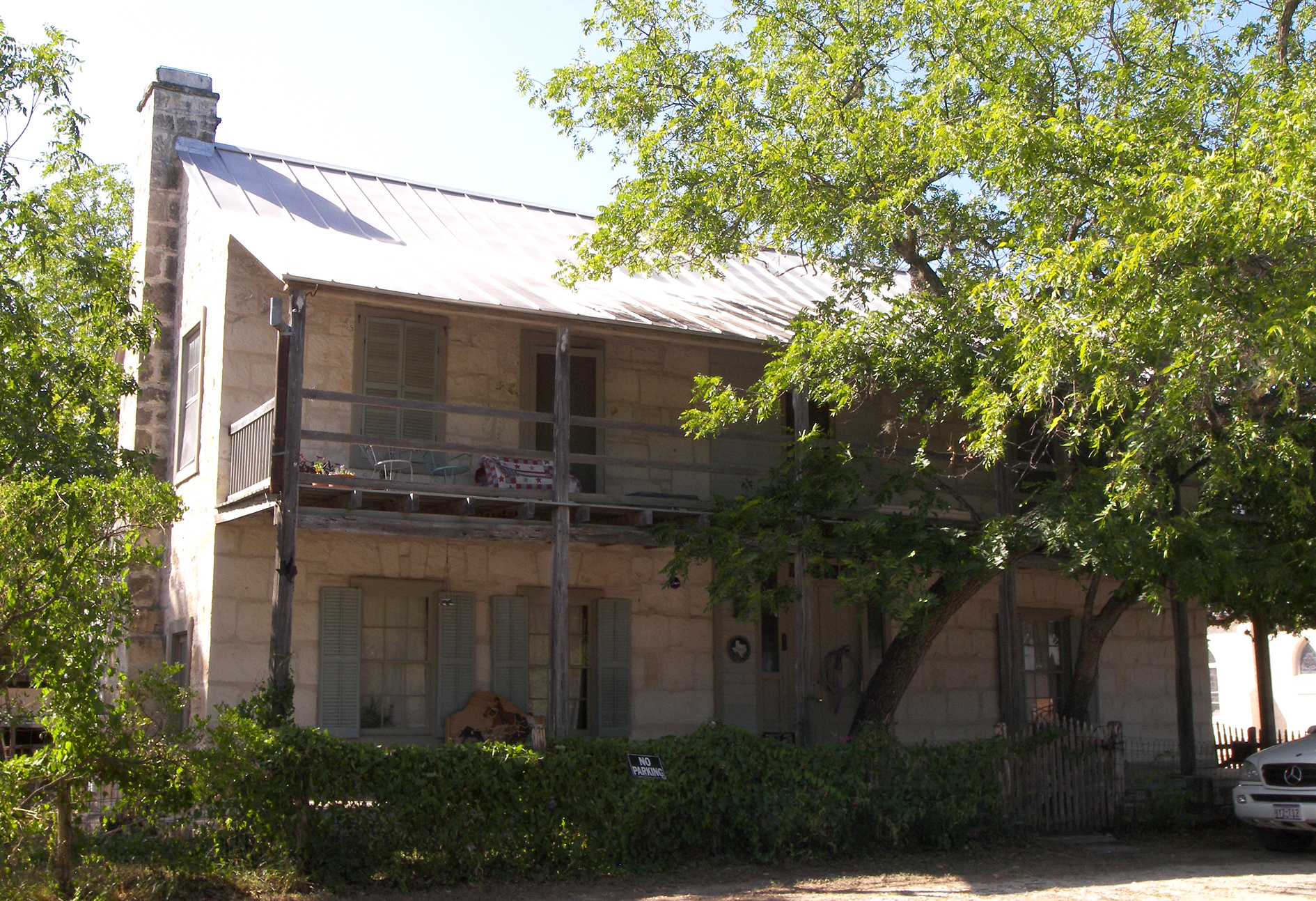
31°43′25″N 98°58′52″W / 31.72361°N 98.98111°WBrownwood Ref #83003129 2 Greenleaf Fisk House February 25, 2004 418 Milton Ave.
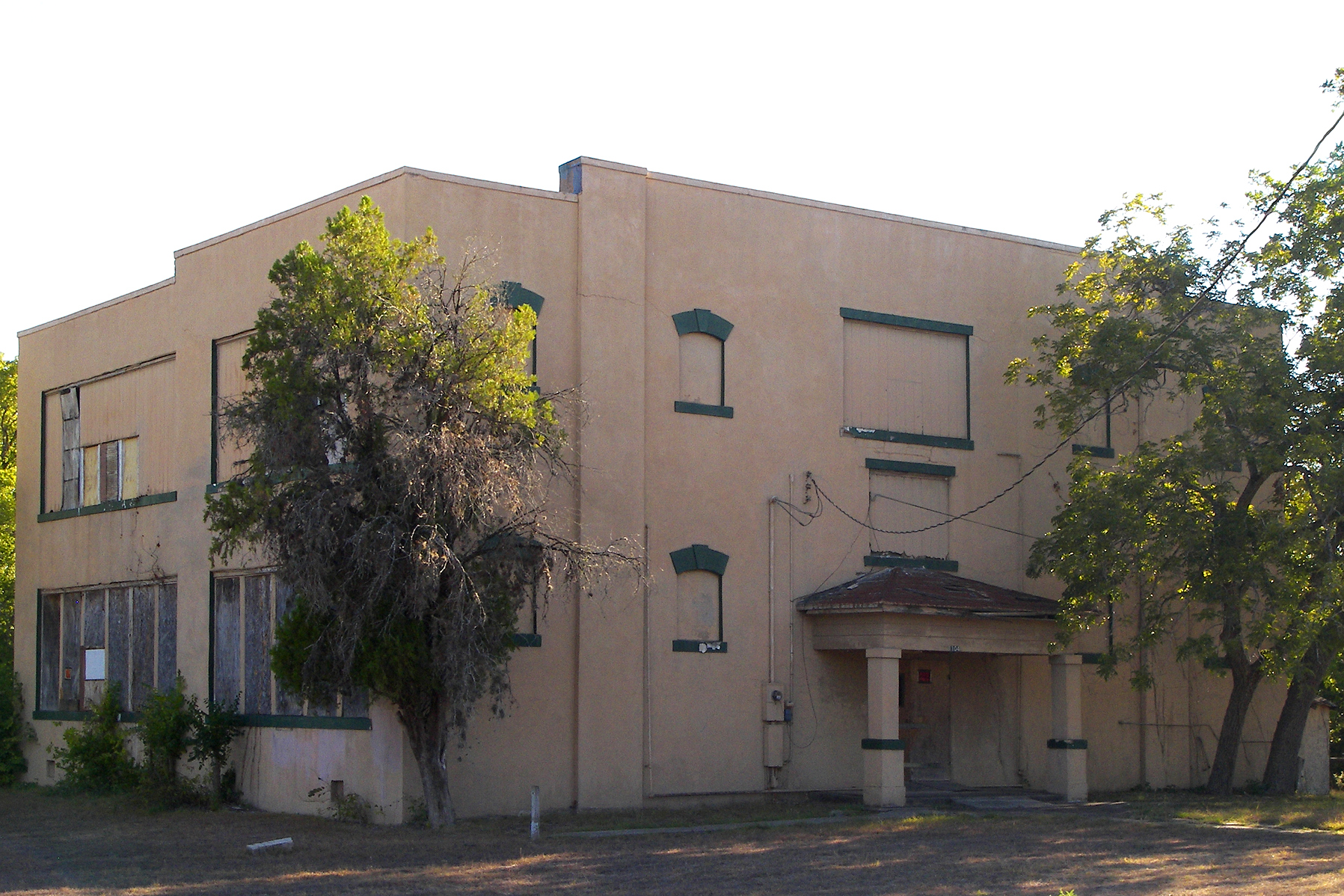
31°43′13″N 98°58′38″W / 31.72028°N 98.97722°WBrownwood Ref #04000103 3 R. F. Hardin High School June 25, 1999 1009 Hall St.
31°43′29″N 98°59′25″W / 31.72472°N 98.99028°WBrownwood Ref #99000722 4 Santa Fe Railroad Station January 2, 1976 Washington Ave. between E. Depot and E. Adams Sts.
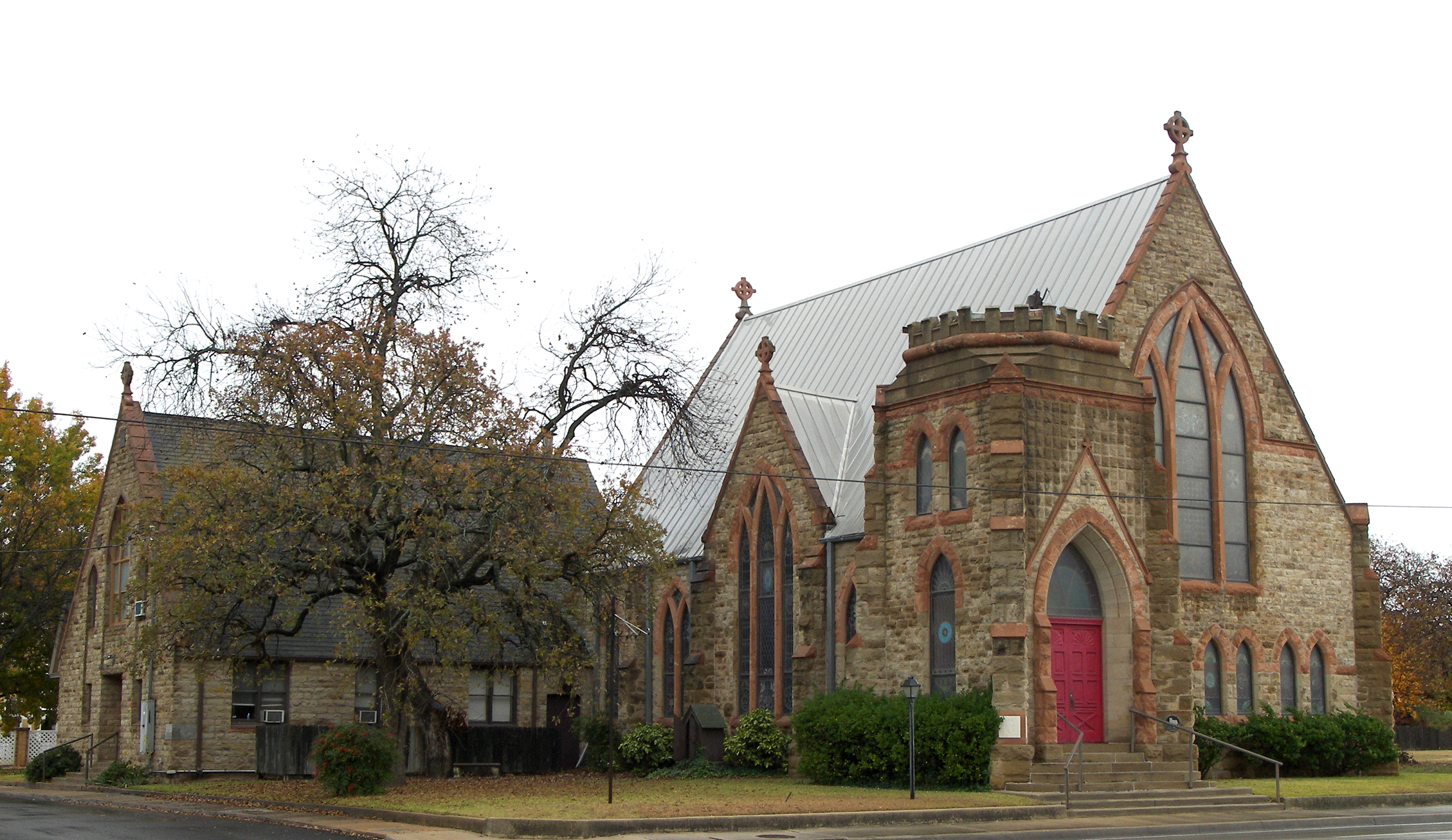
31°42′57″N 98°58′47″W / 31.71583°N 98.97972°WBrownwood Ref #76002012 5 St. John's Episcopal Church 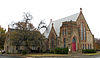
September 4, 1979 700 Main Ave
31°43′10″N 98°59′8″W / 31.71944°N 98.98556°WBrownwood Ref #79002923 6 J. A. Walker House and R. B. Rogers House July 19, 1982 701 and 707 Center Ave.
31°43′6″N 98°59′5″W / 31.71833°N 98.98472°WBrownwood Ref #82004494 Burleson County
[3] Landmark name[4] Image Date listed Location City or Town Summary 1 Thomas and Mary Kraitchar Jr. House July 11, 2002 200 E. Buck St.
30°32′0″N 96°41′28″W / 30.533333°N 96.69111°WCaldwell 2 Reeves-Womack House 
February 4, 1993 405 W. Fox St.
30°31′48″N 96°41′46″W / 30.53°N 96.69611°WCaldwell Burnet County
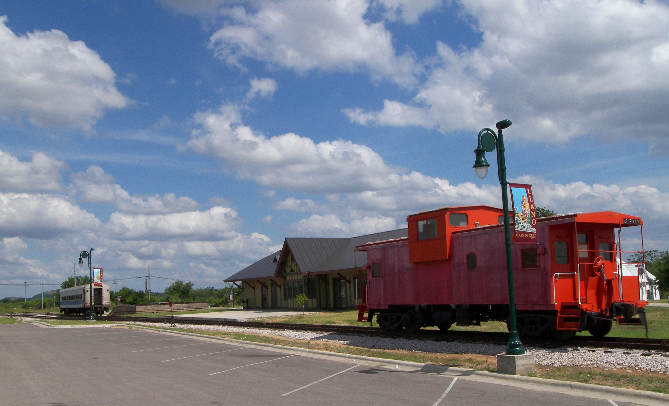
[3] Landmark name[4] Image Date listed Location City or Town Summary 1 Austin and Northwestern Railroad Historic District-Fairland to Llano 
October 6, 1997 Roughly along RR tracks from Fairland to Llano
Eastern terminus
30°38′52″N 98°17′44″W / 30.64778°N 98.29556°W
Western terminus
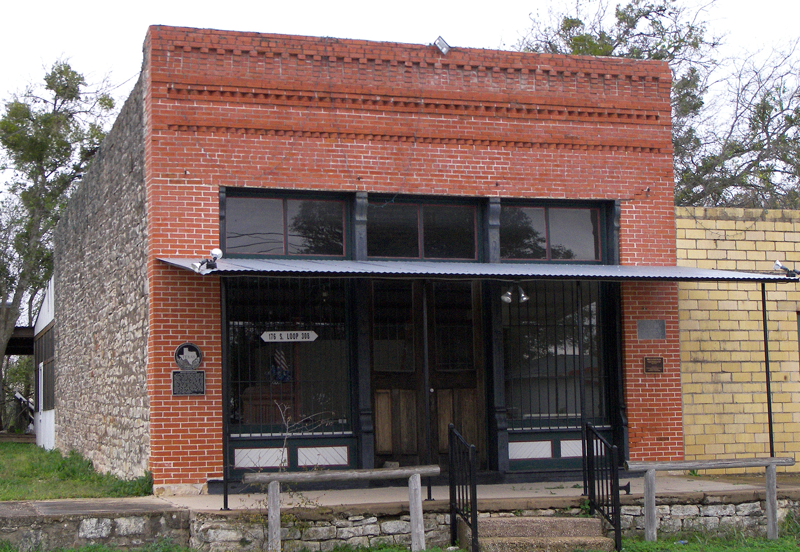
30°45′18″N 98°40′26″W / 30.755°N 98.67389°WKingsland Extends into Llano County 2 Briggs State Bank 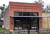
August 11, 2000 176 S. Loop 308 (approx. 0.5 mi. N of jct. with US 183)
30°53′17″N 97°55′28″W / 30.88806°N 97.92444°WBriggs 3 Burnet County Courthouse 
November 15, 2000 220 S. Pierce St.
30°45′25″N 98°13′37″W / 30.75694°N 98.22694°WBurnet 4 Krause Spring Site November 15, 1978 Off County Rd 404
30°28′50″N 98°8′43″W / 30.48056°N 98.14528°WSpicewood 5 Louis Page Archeological Site March 30, 1978 Address Restricted Marble Falls 6 Park Road 4 Historic District February 7, 2011 Park Road 4 from US 281 to TX 29 & Longhorn Cavern State Park
30°42′18″N 98°20′9.5″W / 30.705°N 98.335972°WBurnet vicinity 7 Roper Hotel 
January 8, 1980 707 3rd St.
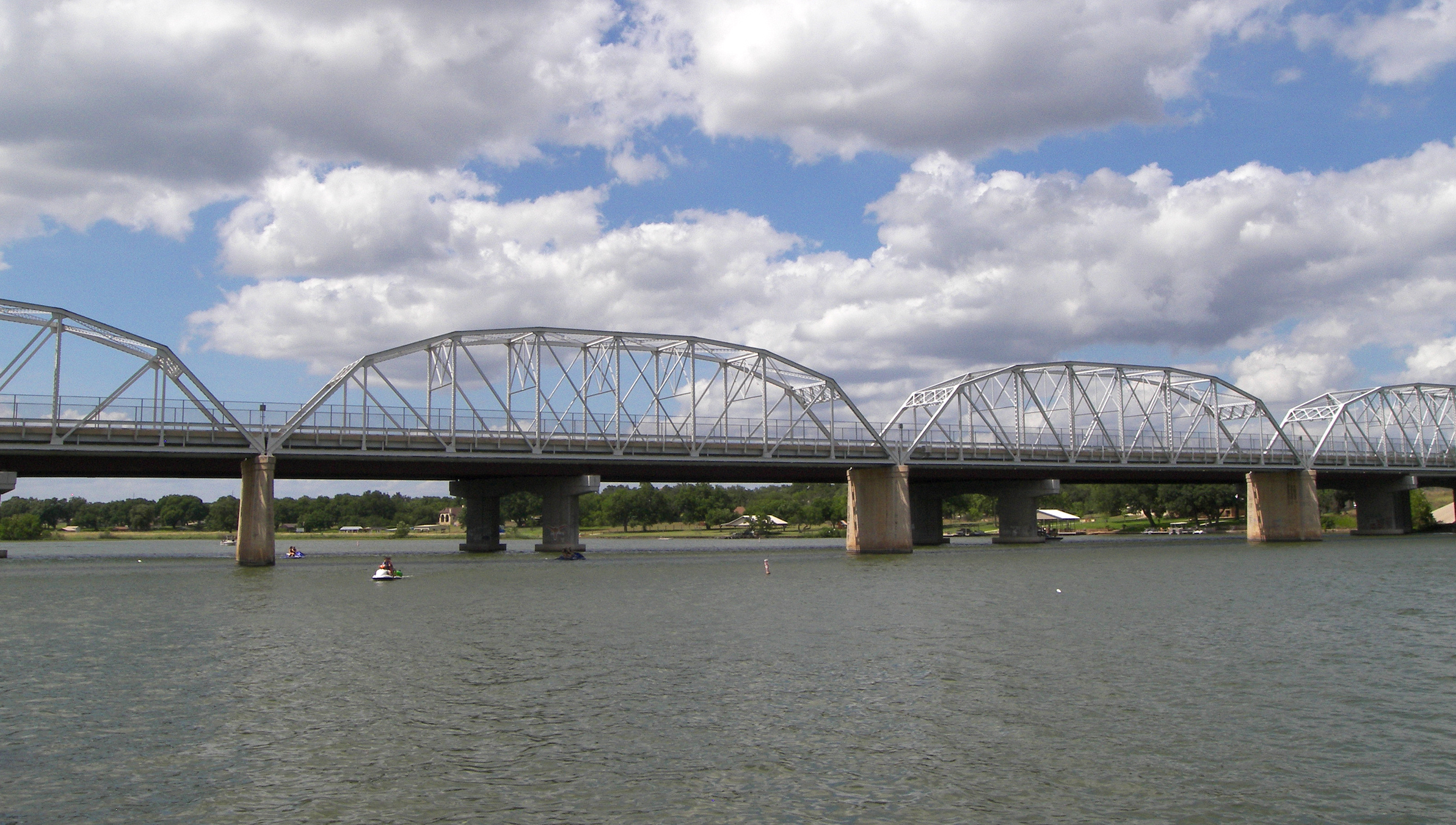
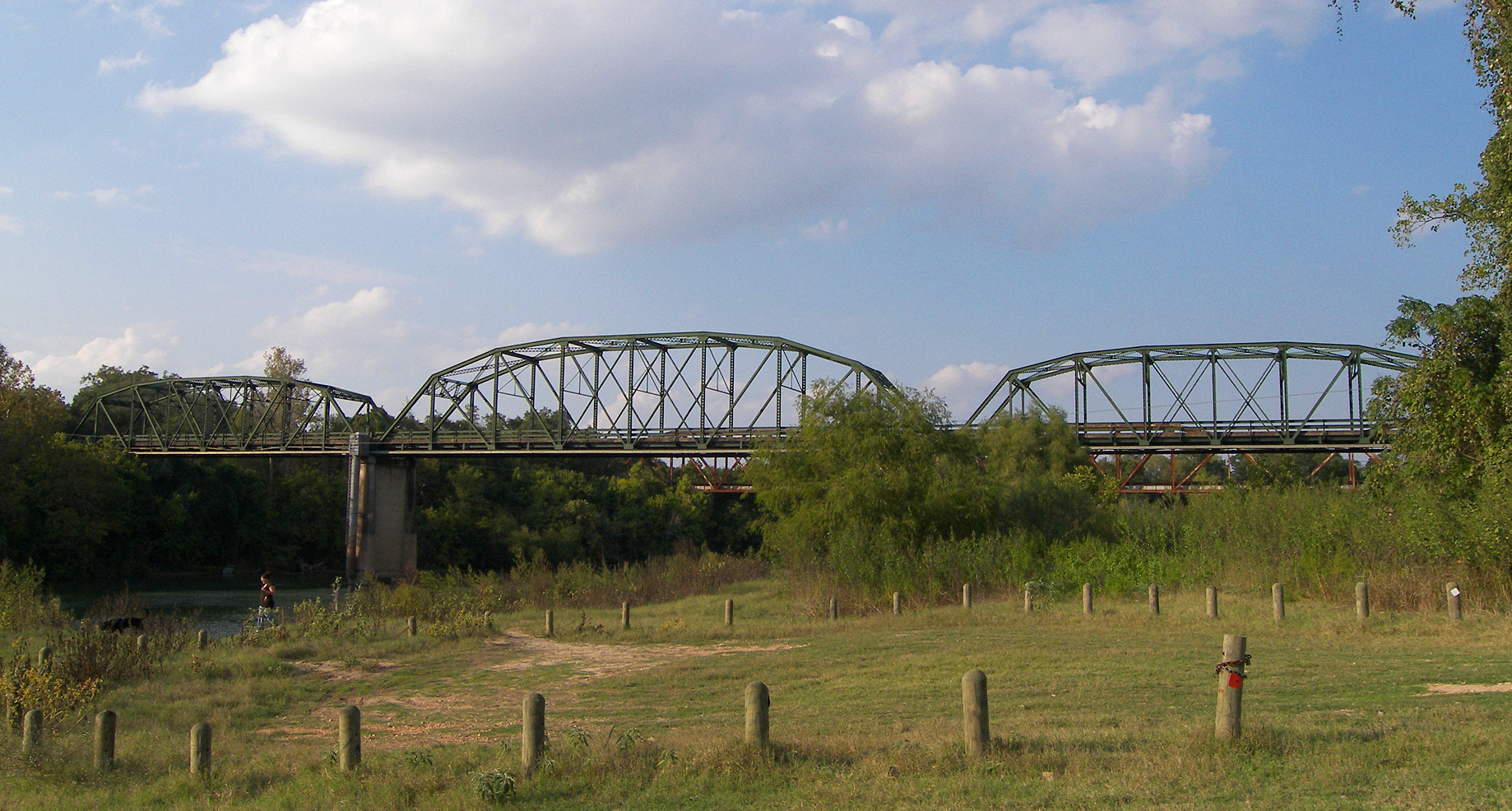
30°34′16″N 98°16′31″W / 30.57111°N 98.27528°WMarble Falls 8 State Highway 29 Bridge at the Colorado River 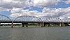
October 10, 1996 TX 29 at the Llano Cnty. line
30°44′53″N 98°23′54″W / 30.74806°N 98.39833°WBuchanan Dam Caldwell County
[3] Landmark name[4] Image Date listed Location City or Town Summary 1 Caldwell County Courthouse Historic District 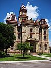
January 3, 1978 Courthouse Sq. and environs
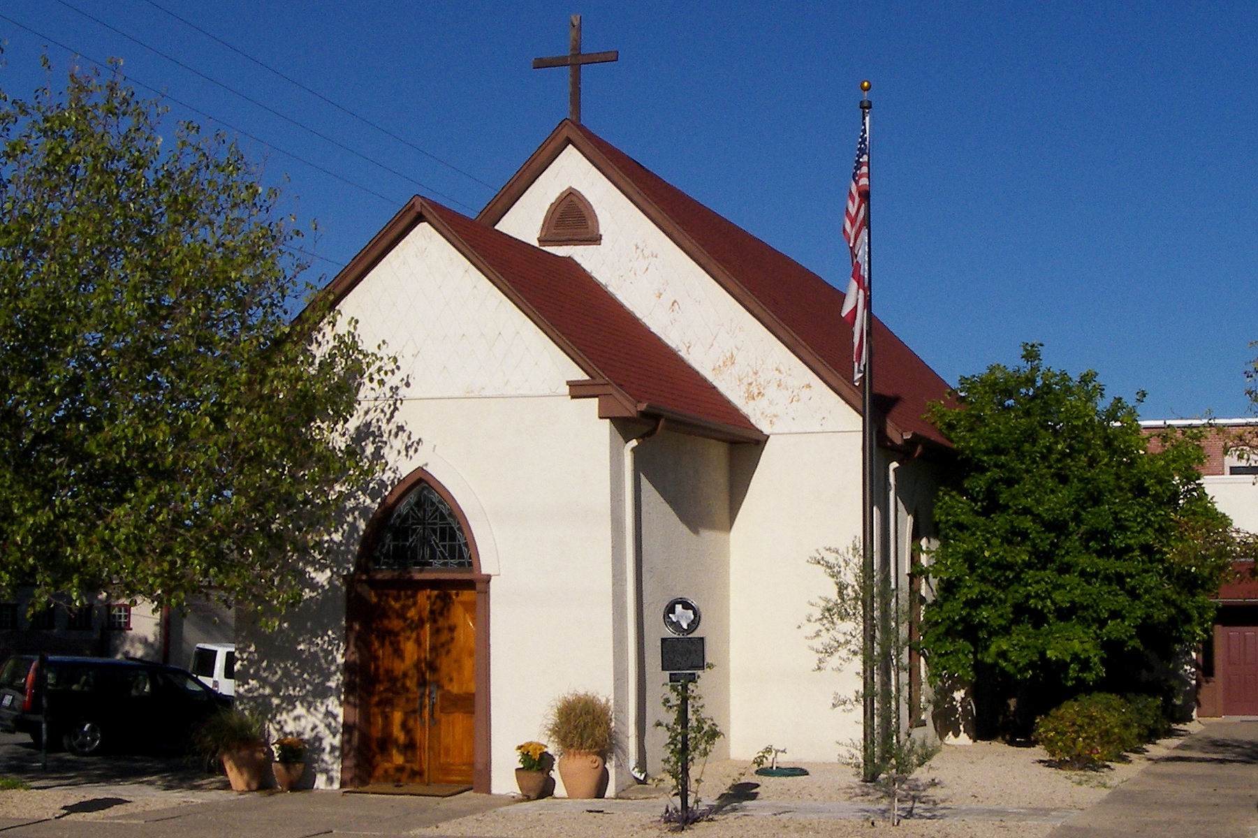
29°53′3″N 97°40′18″W / 29.88417°N 97.67167°WLockhart Ref. #78002902 2 Emmanuel Episcopal Church 
June 5, 1974 SE corner of N. Church and Walnut Sts.
29°53′7″N 97°40′24″W / 29.88528°N 97.67333°WLockhart Ref. #74002065 Part of the Caldwell County Courthouse Historic District 3 Lockhart Vocational High School 
November 19, 1998 1104 E. Market St.
29°53′9″N 97°39′47″W / 29.88583°N 97.66306°WLockhart Ref. #98001416 4 State Highway 3-A Bridge at Plum Creek October 10, 1996 US 90-US 183, .5 mi. W of jct. with I-10
29°39′19″N 97°36′3″W / 29.65528°N 97.60083°WLuling Ref. #96001107 5 M. A. Withers House August 27, 1976 W of Lockhart on Borchert Loop Rd.
29°52′15″N 97°43′37″W / 29.87083°N 97.72694°WLockhart Ref. #76002013 Calhoun County
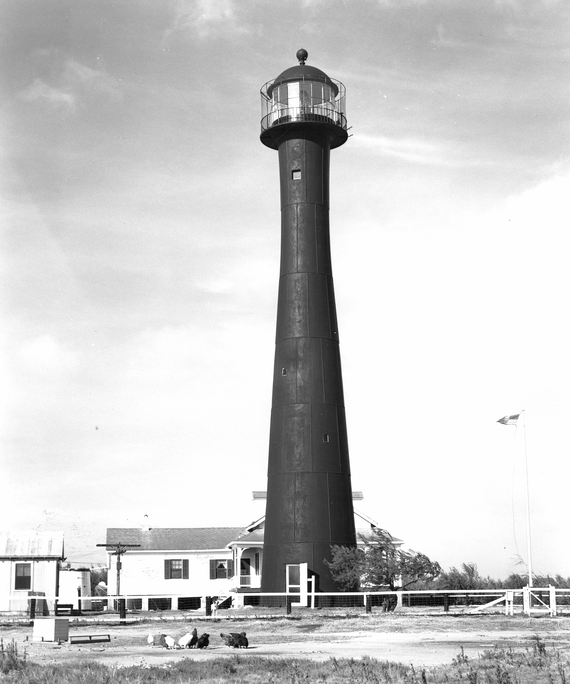
[3] Landmark name[4] Image Date listed Location City or Town Summary 1 Matagorda Island Lighthouse 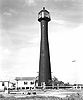
September 18, 1984 Matagorda Island
28°20′16.4″N 96°25′26.7″W / 28.337889°N 96.424083°WPort O'Connor Callahan County
[3] Landmark name[4] Image Date listed Location City or Town Summary 1 Robert E. Howard House August 19, 1994 Jct. of TX 36 (Fourth St.) and Ave. J
32°7′17″N 99°10′19″W / 32.12139°N 99.17194°WCross Plains Cameron County
Carson County
[3] Landmark name[4] Image Date listed Location City or Town Summary 1 Atchison, Topeka and Santa Fe Railway Depot, Panhandle April 25, 2003 One Main St.
35°20′28″N 101°22′39″W / 35.34111°N 101.3775°WPanhandle 2 Carson County Square House Museum 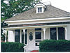
March 7, 1973 5th and Elsie Sts.
35°20′46″N 101°22′49″W / 35.34611°N 101.38028°WPanhandle 3 Route 66, Texas 207 to I-40 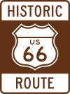
April 3, 2007 Texas Farm Rd. 2161, from I-40 to TX 207
35°13′21″N 101°30′2″W / 35.2225°N 101.50056°WConway Cass County
[3] Landmark name[4] Image Date listed Location City or Town Summary 1 Cass County Courthouse May 25, 1979 Public Sq.
33°0′40″N 94°21′54″W / 33.01111°N 94.365°WLinden 2 Mathews-Powell House September 22, 1977 Miller St.
33°8′59″N 94°8′50″W / 33.14972°N 94.14722°WQueen City 3 Pleasant Hill School August 20, 2004 2722 FM 1399
33°3′11″N 94°23′46″W / 33.05306°N 94.39611°WLinden Chambers County
[3] Landmark name[4] Image Date listed Location City or Town Summary 1 Archeological Site 41 CH 110 July 14, 1971 Address Restricted Cove 2 Chambers County Courthouse April 25, 2008 404 Washington St.,
29°46′9″N 94°41′5″W / 29.76917°N 94.68472°WAnahuac 3 Chambersea November 19, 1979 Washington and Cummings Sts
29°46′15″N 94°41′5″W / 29.77083°N 94.68472°WAnahuac 4 Fort Anahuac July 1, 1981 Corner of Main St. and Chambers
29°45′24″N 94°41′17″W / 29.75667°N 94.68806°WAnahuac 5 Old Wallisville Town Site March 30, 1982 Address Restricted Wallisville 6 Orcoquisac Archeological District July 14, 1971 Address Restricted Wallisville Cherokee County
[3] Landmark name[4] Image Date listed Location City or Town Summary 1 Aber and Haberle Houses August 21, 1984 823 and 833 S. Bolton St.
31°57′21″N 95°16′20″W / 31.95583°N 95.27222°WJacksonville 2 George C. Davis Site October 15, 1970 Address Restricted Alto Boundary increase on 1979-11-15. 3 Jacksonville Post Office January 14, 2004 402 E. Rusk St.
31°57′49″N 95°16′12″W / 31.96361°N 95.27°WJacksonville 4 William Walter Newton House July 15, 1982 401 N. Bolton St.
31°58′2″N 95°16′36″W / 31.96722°N 95.27667°WJacksonville 5 James I. and Myrta Blake Perkins House July 25, 2002 303 E. 5th St.
31°47′41″N 95°8′51″W / 31.79472°N 95.1475°WRusk Clay County
[3] Landmark name[4] Image Date listed Location City or Town Summary 1 Clay County Courthouse and Jail October 3, 1978 100 N. Bridge St.
33°48′57″N 98°11′45″W / 33.81583°N 98.19583°WHenrietta 2 State Highway 79 Bridge at the Red River December 20, 1996 OK 79 across the Red River at the OK-TX state line
34°7′56″N 98°5′39″W / 34.13222°N 98.09417°WByers Coke County
[3] Landmark name[4] Image Date listed Location City or Town Summary 1 Coke County Jail 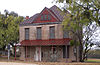
December 23, 2004 6th at Chadbourne
31°53′34″N 100°29′16″W / 31.89278°N 100.48778°WRobert Lee 2 Fort Chadbourne April 2, 1973 Off US 277 near Runnels and Coke county line
32°2′7″N 100°14′48″W / 32.03528°N 100.24667°WBronte Collin County
Collingsworth County
[3] Landmark name[4] Image Date listed Location City or Town Summary 1 US 83 Bridge at the Salt Fork of the Red River October 10, 1996 US 83, 16 mi. S of Wheeler Cnty. line
34°57′27″N 100°13′16″W / 34.9575°N 100.22111°WWellington Colorado County
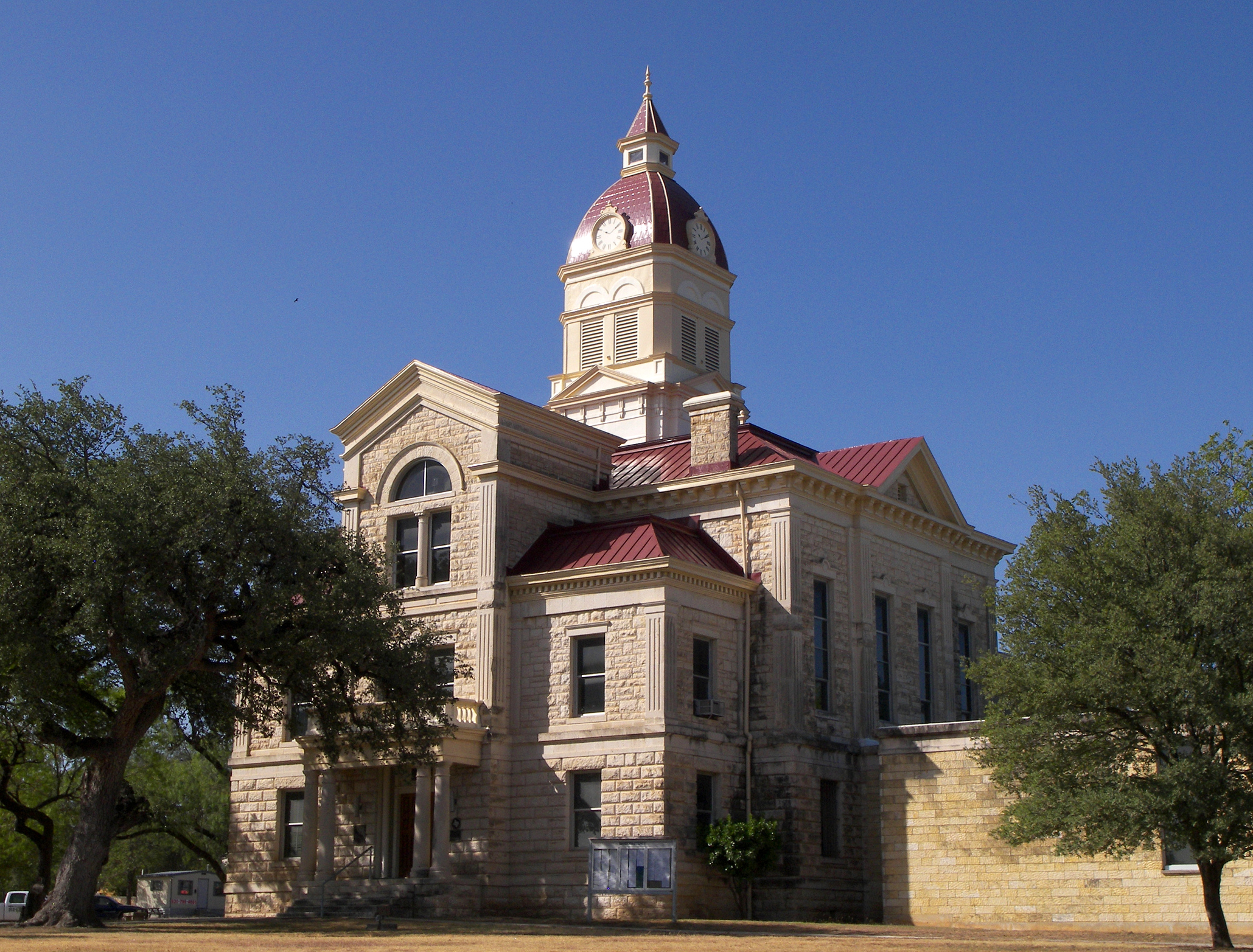
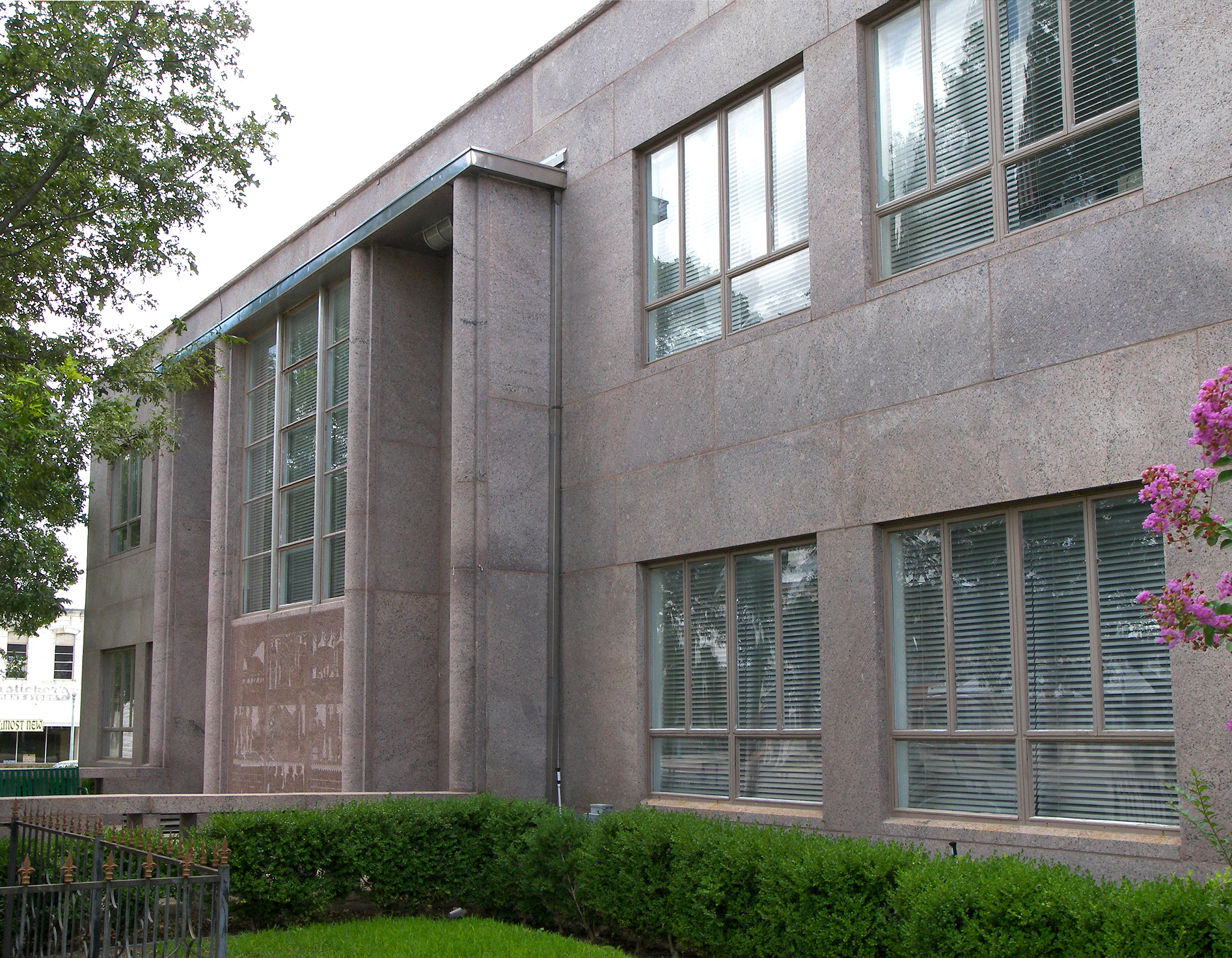
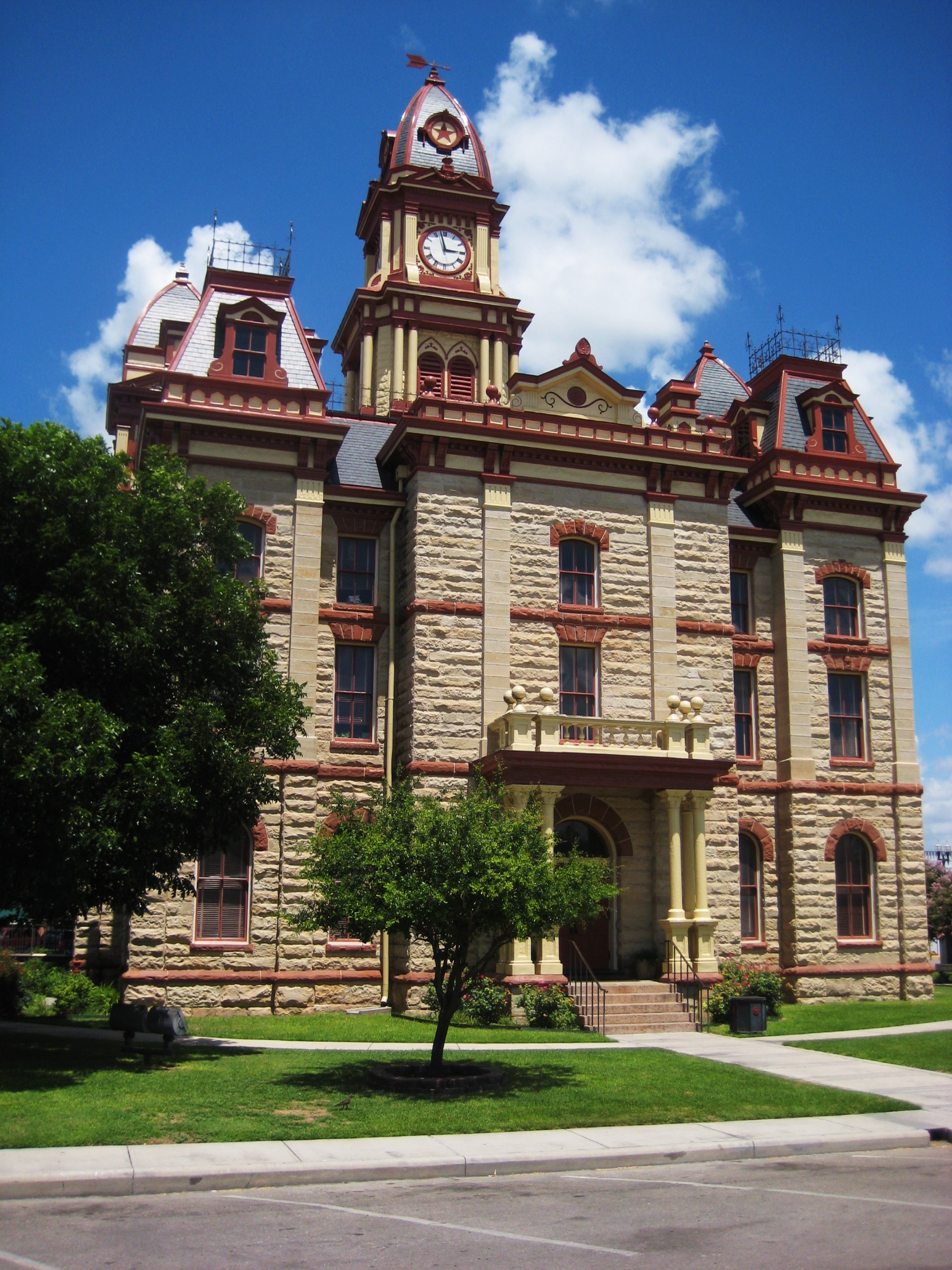
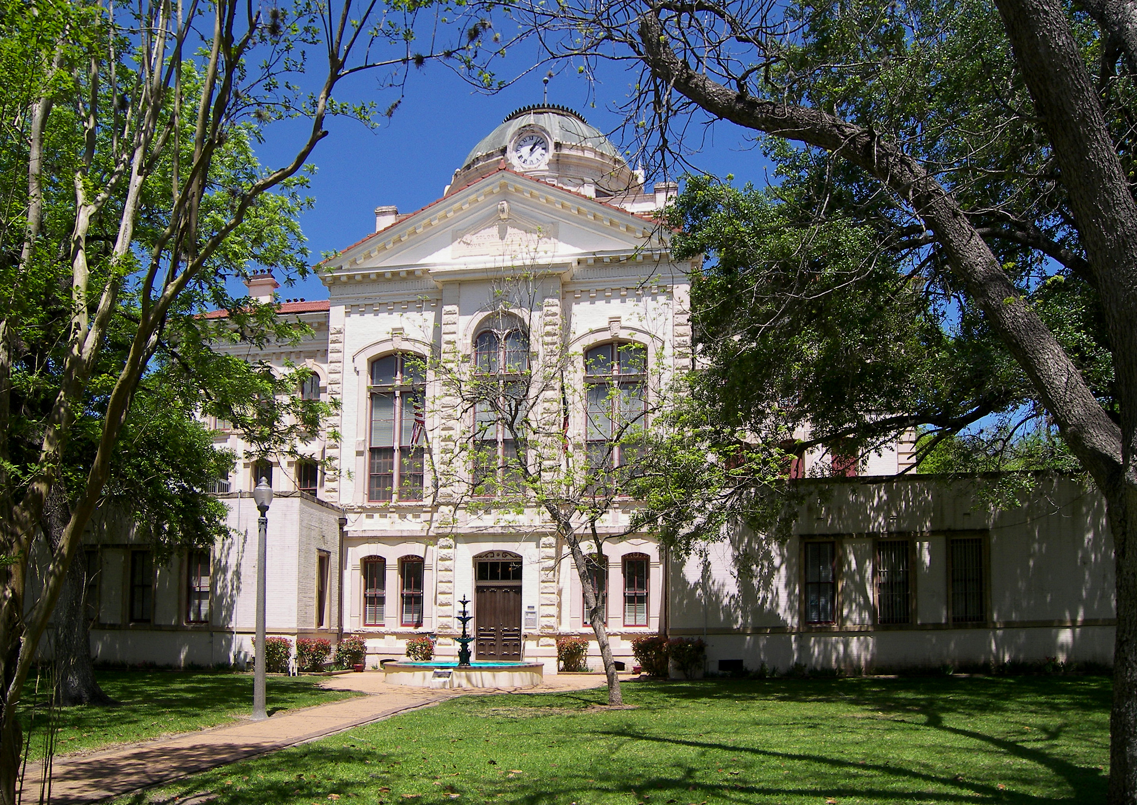
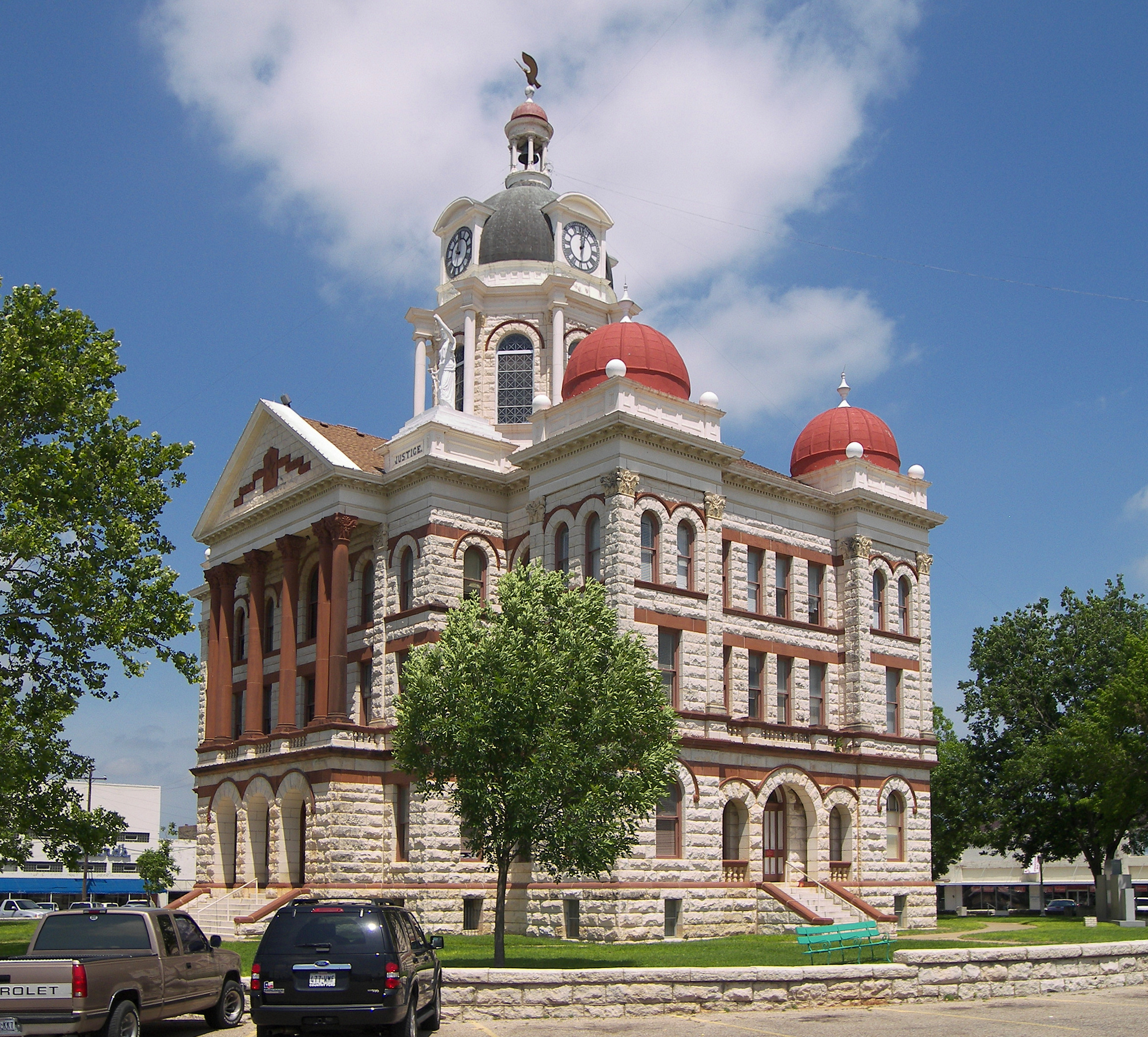
[3] Landmark name[4] Image Date listed Location City or Town Summary 1 Colorado County Courthouse 
July 12, 1976 Bounded by Milam, Spring, Travis and Walnut Sts.
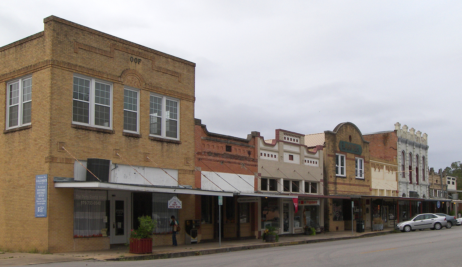
29°42′21″N 96°32′23″W / 29.70583°N 96.53972°WColumbus Ref. #76002015 Classical revival building erected in 1890-1891 in the form of a Greek cross 2 Colorado County Courthouse Historic District 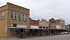
June 23, 1978 Roughly bounded by Preston, Walnut, Milam, Front, Washington, and Live Oak Sts.
29°42′22″N 96°32′26″W / 29.70611°N 96.54056°WColumbus Ref. #78002907 3 Eagle Lake Commercial Historic District 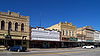
June 5, 2007 100-416 E. Main St., 101-108 W. Main St., 101-124 Commerce St., 101-201 N. McCarty Ave., 100-203 E. Post Office St.
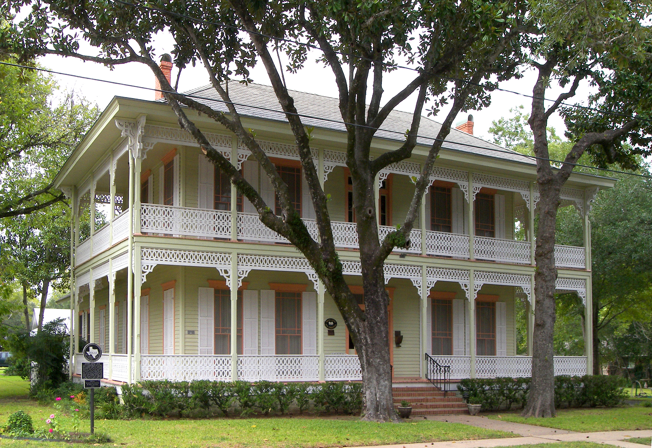
29°35′21″N 96°20′2″W / 29.58917°N 96.33389°WEagle Lake Ref. #7000494 4 Harrison-Hastedt House 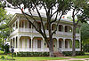
March 22, 2004 236 Preston St.
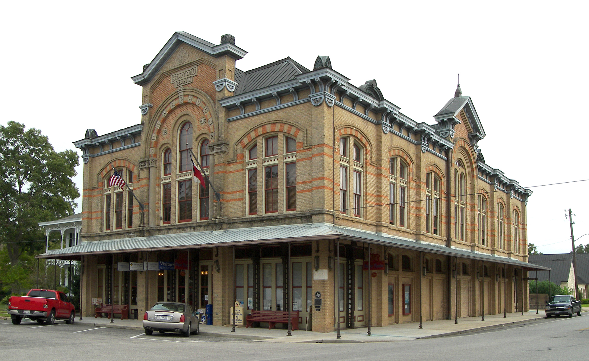
29°42′32″N 96°32′16″W / 29.70889°N 96.53778°WColumbus Ref. #4000231 5 Stafford Bank and Opera House 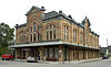
May 8, 1973 Milan and Spring Sts.
29°42′19″N 96°32′25″W / 29.70528°N 96.54028°WColumbus Ref. #73002276 A Second Empire style building completed in 1886. 6 State Highway 3 Bridge at the Colorado River 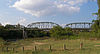
October 10, 1996 US 90, .6 mi. E of jct. with Loop 329
29°42′23″N 96°32′11″W / 29.70639°N 96.53639°WColumbus Ref. #96001111 Three-span Parker through truss bridge built in 1932. Comal County
Concho County
[3] Landmark name[4] Image Date listed Location City or Town Summary 1 Bishop Site June 17, 1977 Address Restricted Salt Gap 2 Concho County Courthouse 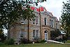
November 7, 1977 Public Sq.
31°30′30″N 99°55′11″W / 31.50833°N 99.91972°WPaint Rock 3 Eola School December 22, 2005 12119 FM 381
31°24′8″N 100°5′19″W / 31.40222°N 100.08861°WEola 4 Paint Rock Indian Pictograph Site June 21, 1971 Address Restricted Paint Rock Cooke County
[3] Landmark name[4] Image Date listed Location City or Town Summary 1 E.P. and Alice Bomar House February 25, 2004 417 S. Denton St.
33°37′15.5″N 97°8′33.75″W / 33.620972°N 97.1427083°WGainesville 2 Cloud-Stark House June 1, 1982 327 S. Dixon St.
33°37′18.75″N 97°8′44.25″W / 33.621875°N 97.145625°WGainesville 3 Cooke County Courthouse March 22, 1991 Public Square, bounded by California, Dixon, Main and Commerce Sts.
33°37′26″N 97°8′44″W / 33.62389°N 97.14556°WGainesville 4 William and Anna Davis House May 10, 1984 505 S. Denton St.
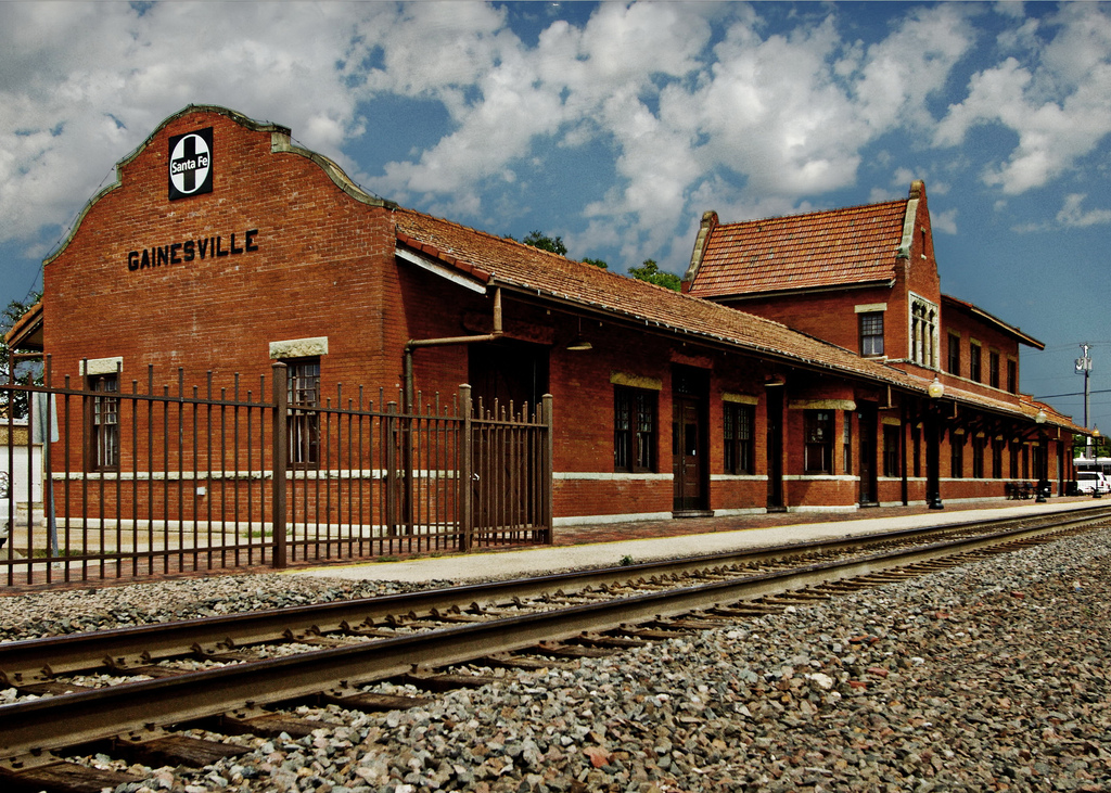
33°37′13.5″N 97°8′33.75″W / 33.620417°N 97.1427083°WGainesville 5 Nelson Farmstead April 4, 2007 7729 FM 678 Gainesville 6 Santa Fe Passenger Depot 
October 6, 1983 505 E. Broadway
33°37′29.75″N 97°8′26.5″W / 33.6249306°N 97.140694°WGainesville 7 St. Peter's Roman Catholic Church May 25, 1979 Ash St.
33°38′9″N 97°13′35″W / 33.63583°N 97.22639°WLindsay 8 Thomason-Scott House September 30, 1980 Just west of FM 51 on FM 922
33°29′42″N 97°17′20″W / 33.495°N 97.28889°WEra Coryell County
[3] Landmark name[4] Image Date listed Location City or Town Summary 1 Copperas Cove Stagestop and Post Office 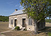
September 26, 1979 1.6 mi. SW of Copperas Cove off U.S. 190
31°6′15″N 97°55′44″W / 31.10417°N 97.92889°WCopperas Cove AKA Ogletree Stagestop and Post Office
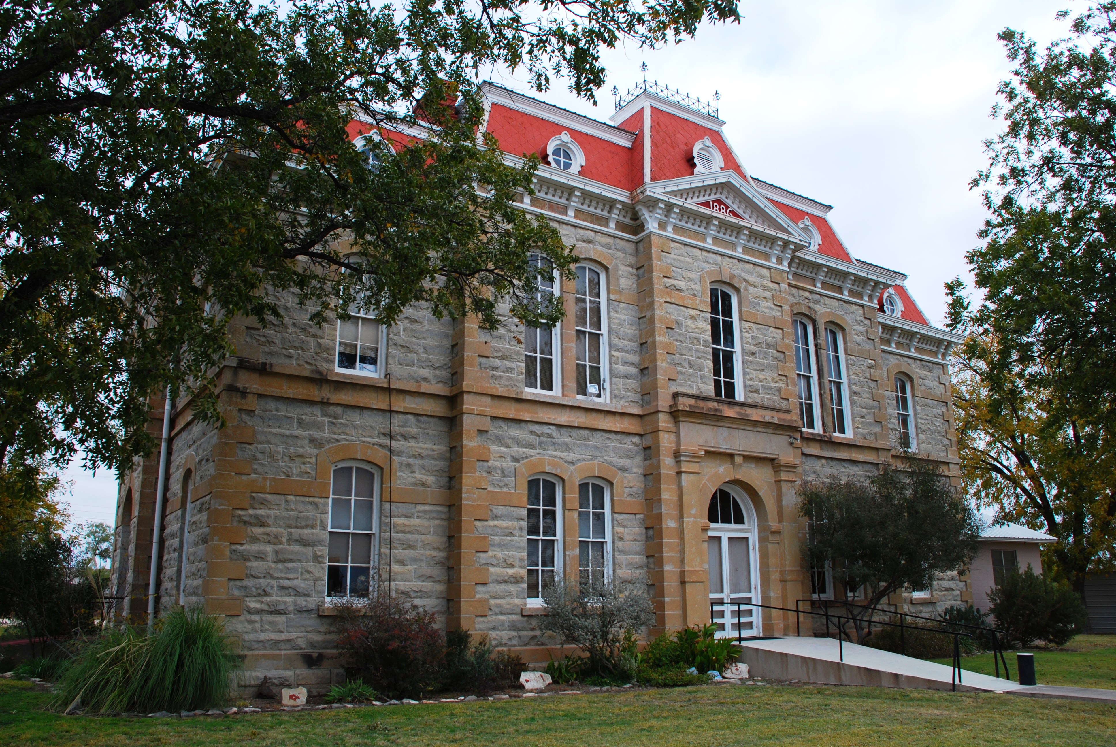
Built in 1878. Ref. #790029282 Coryell County Courthouse 
August 18, 1977 Bounded by 6th, 7th, Main and Leon Streets
31°26′4″N 97°45′1″W / 31.43444°N 97.75028°WGatesville Italian Renaissance Revival style building completed in 1898. Ref. #77001435 3 Mother Neff State Park and F. A. S. 21-B(1) Historic District 
October 2, 1992 Jct. of TX 236 and the Leon R.
31°18′57″N 97°28′18″W / 31.31583°N 97.47167°WMoody First park in the Texas state park system. Many CCC structures in the park. Ref. #92001303 Cottle County
[3] Landmark name[4] Image Date listed Location City or Town Summary 1 Cottle County Courthouse Historic District 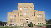
September 10, 2004 Roughly bounded by N. 7th, N. 10th, Garrett and Easly Sts.
34°0′50″N 100°18′5″W / 34.01389°N 100.30139°WPaducah Crockett County
[3] Landmark name[4] Image Date listed Location City or Town Summary 1 Camp Melvin Site November 15, 1978 Address Restricted Iraan Ref# 78002909 2 Ira and Wilma Carson House 
September 26, 2002 1103 Avenue C
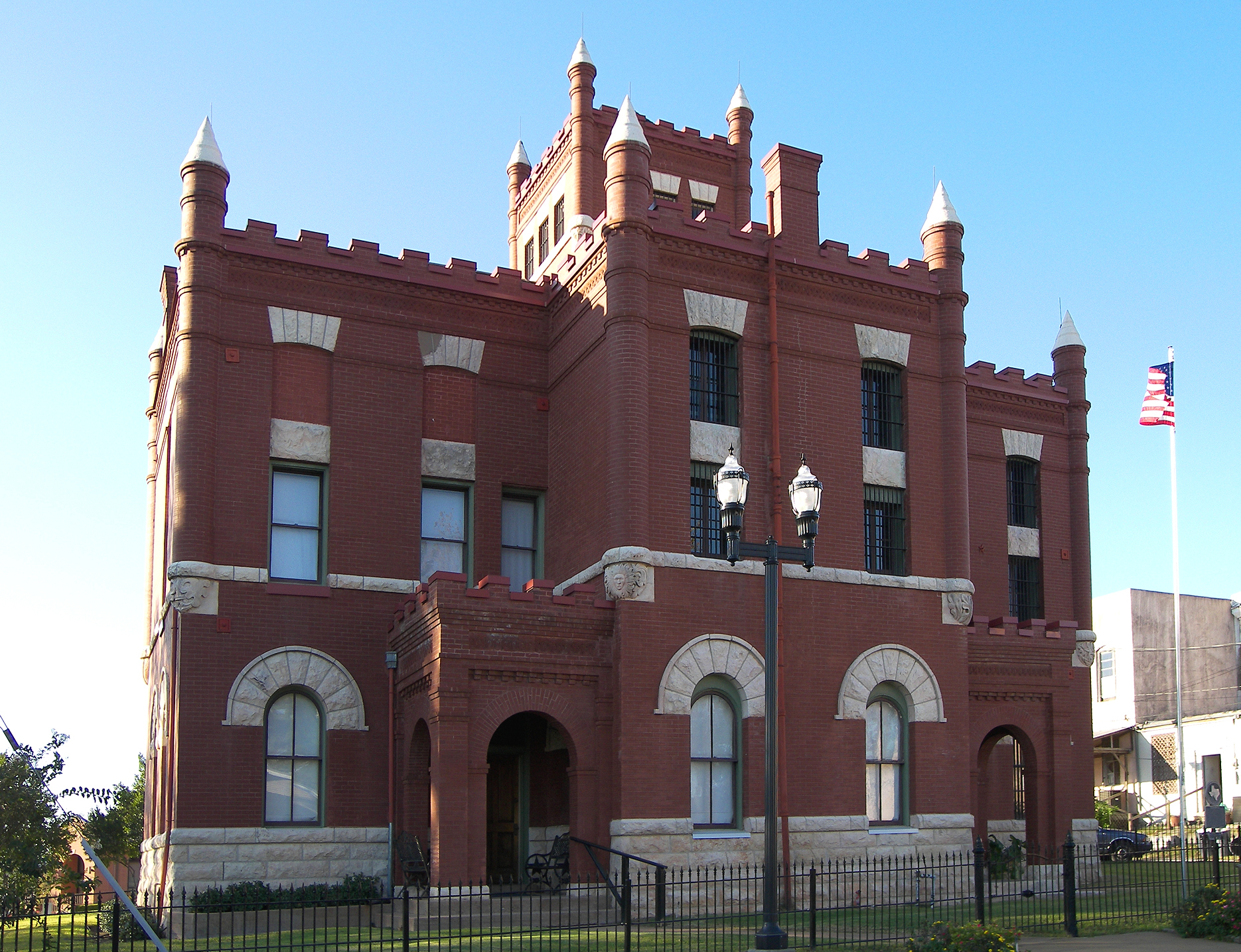
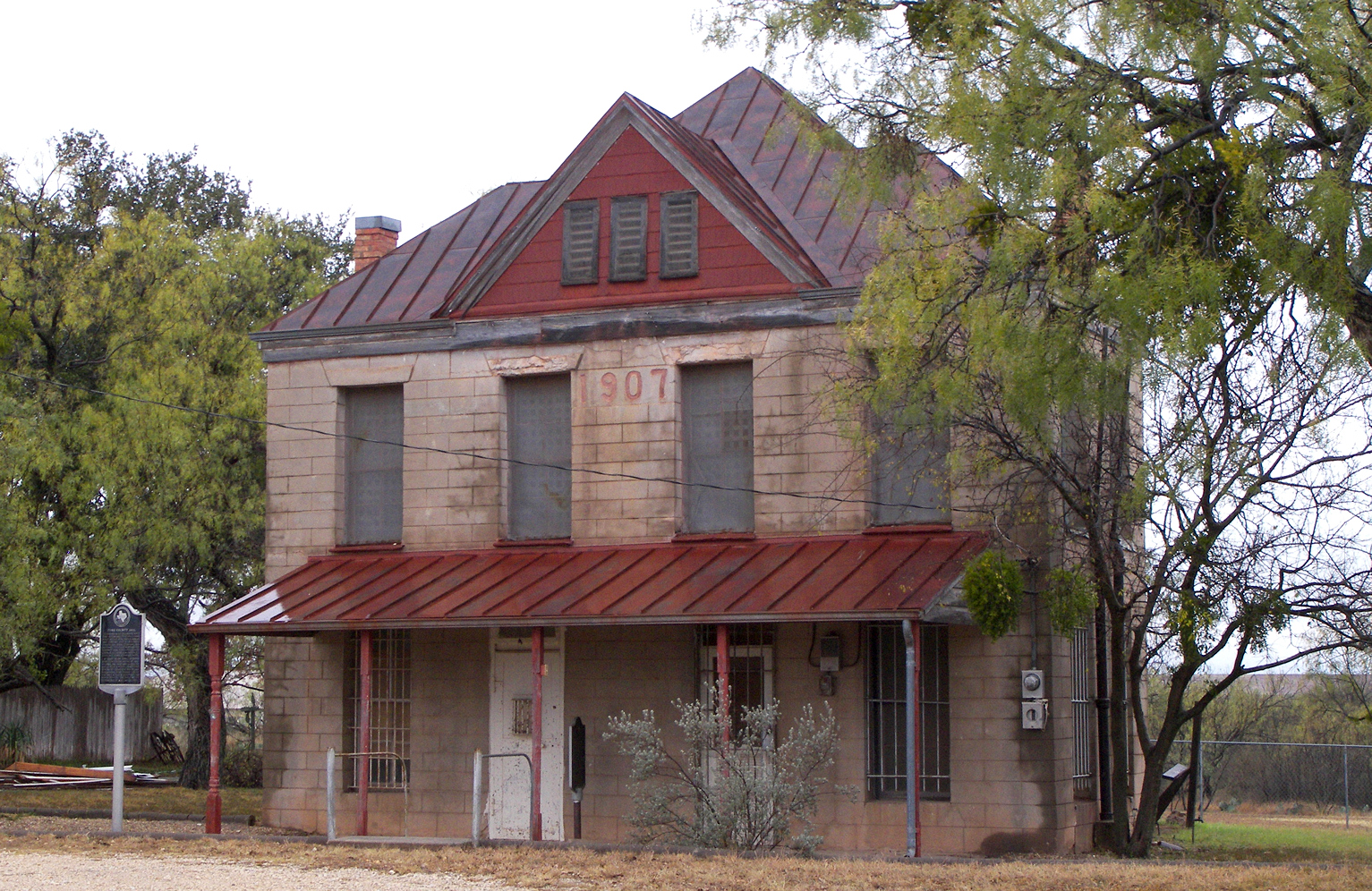
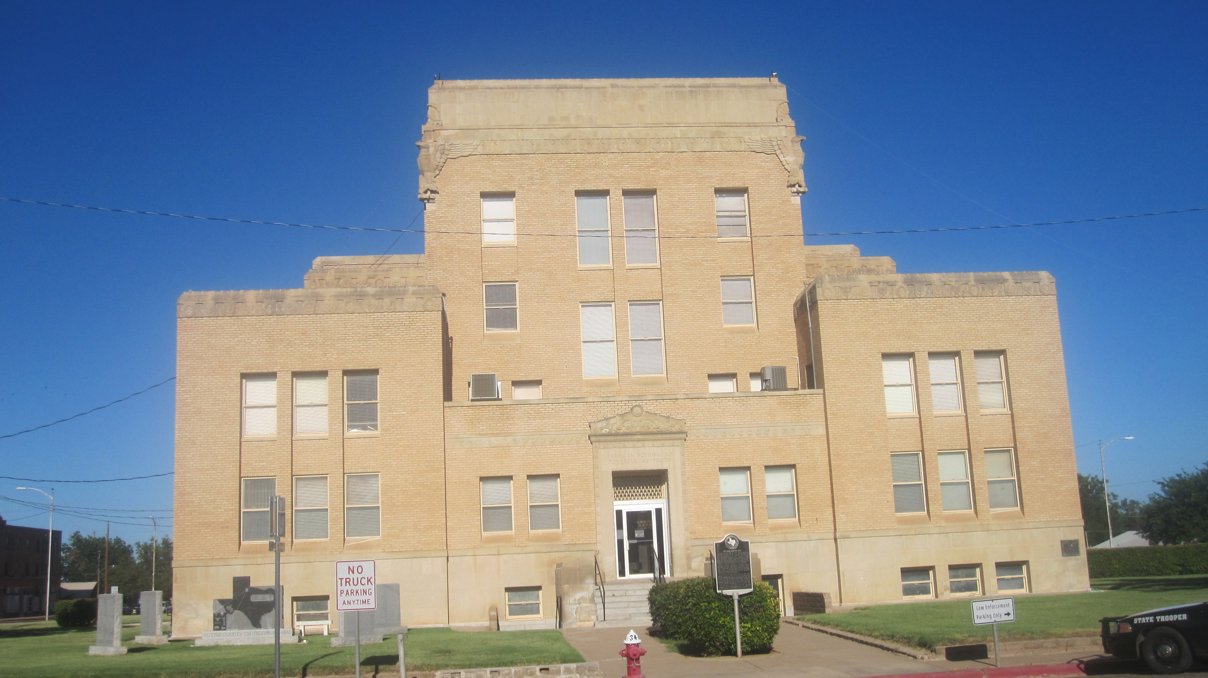
30°42′35.5″N 101°11′58.25″W / 30.709861°N 101.1995139°WOzona Ref# 2001062 3 Crockett County Courthouse 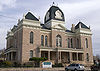
December 27, 1974 907 Ave. D
30°42′39.25″N 101°12′1.75″W / 30.7109028°N 101.2004861°WOzona Ref# 74002066 4 Fort Lancaster 
March 11, 1971 10 mi. E of Sheffield on U.S. 290
30°39′58″N 101°41′46″W / 30.66611°N 101.69611°WSheffield Ref# 71000928 5 Harris Ranch Petroglyph Site 41 CX 110 May 5, 1978 Address Restricted Iraan Ref# 78002908 6 Live Oak Creek Archeological District April 2, 1976 Address Restricted Sheffield Ref# 76002018 7 Turkey Roost Petroglyph Site October 19, 1978 Address Restricted Ozona Ref# 78002910 Crosby County
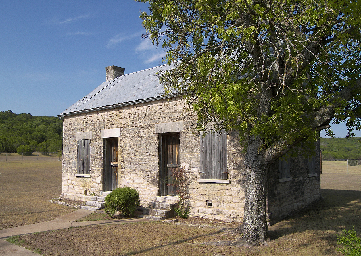
[3] Landmark name[4] Image Date listed Location City or Town Summary 1 Mackenzie Supply Camp (41CB1) 1985 Address Restricted Crosbyton Ref# 85003657 1 Smith, Hank, Homestead (41CB30) 1984 Address Restricted Crosbyton Ref# 84003971 Culberson County
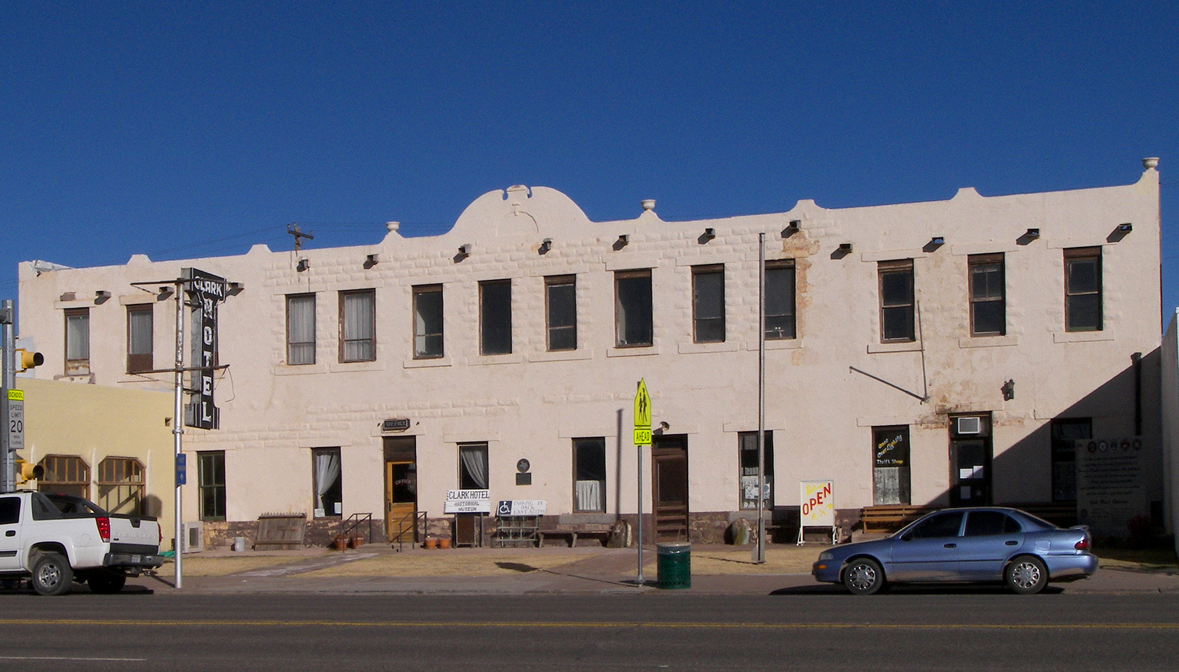
[3] Landmark name[4] Image Date listed Location City or Town Summary 1 Clark Hotel 
July 19, 1979 112 Broadway St.
31°2′24.25″N 104°49′55″W / 31.0400694°N 104.83194°WVan Horn 2 First Presbyterian Church 
December 1, 1978 Fannin and 3rd Sts.
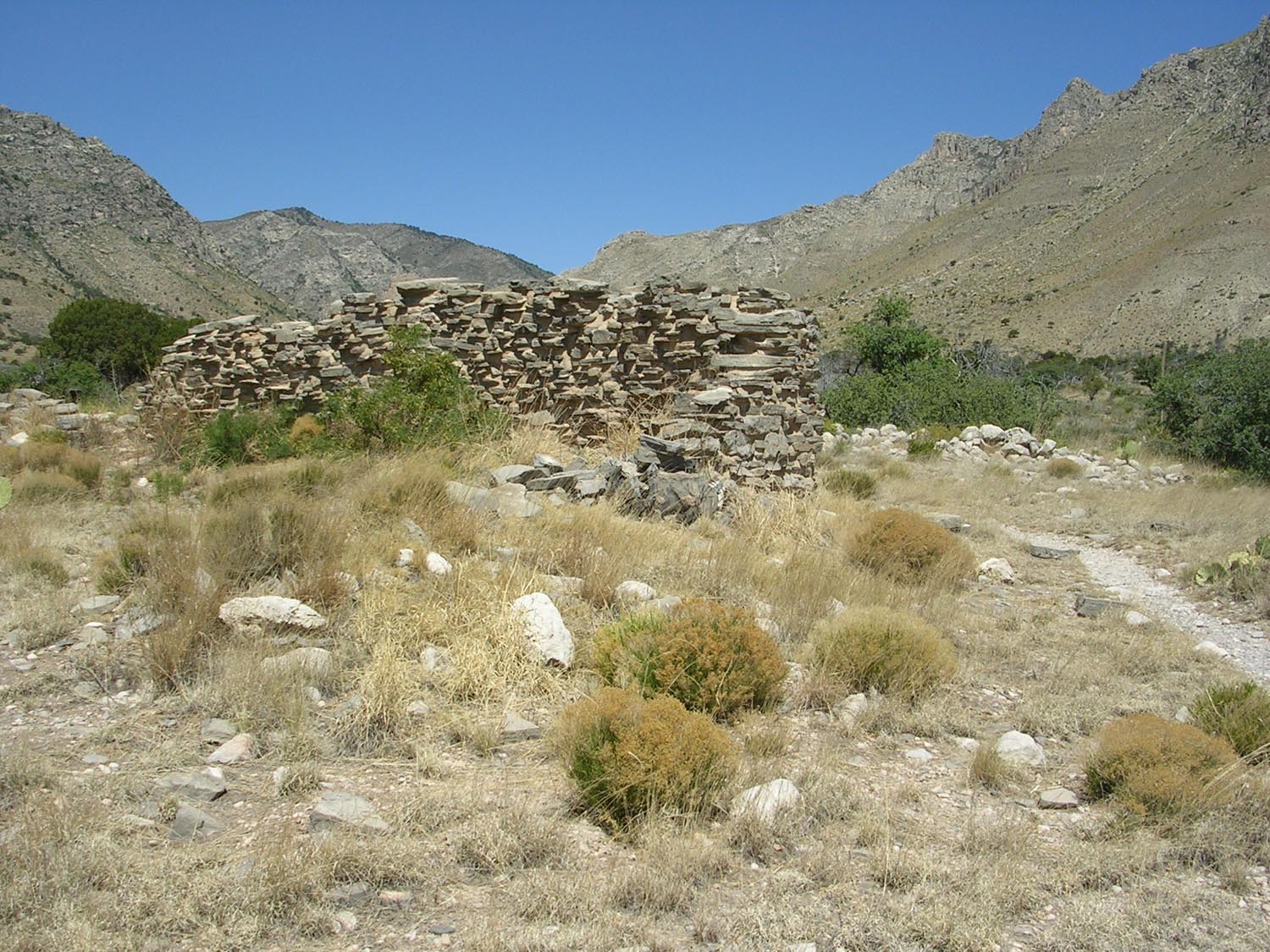
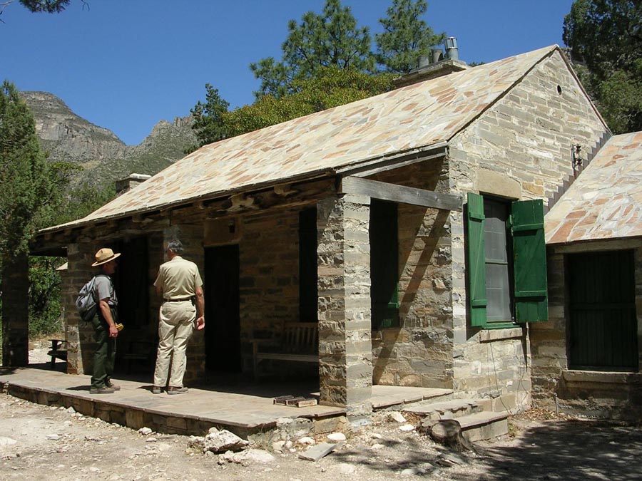
31°2′33″N 104°50′5.25″W / 31.0425°N 104.8347917°WVan Horn 3 Granado Cave March 25, 1977 Address Restricted Toyah 4 Frijole Ranch 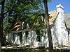
November 21, 1978 NE of Salt Flat in Guadalupe Mountains National Park
31°54′27″N 104°48′0″W / 31.9075°N 104.8°WSalt Flat Frijole Ranch, also known as Guadalupe Ranch, Spring Hill Ranch and the Rader-Smith Ranch. 5 Lobo Valley Petroglyph Site October 25, 1988 Address Restricted Lobo 6 McKittrick Canyon Archeological District, Guadalupe Mountains National Park September 26, 1991 Address Restricted Salt Flat 7 Pinery Station 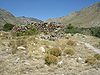
October 9, 1974 Off U.S. 62/180
31°53′38″N 104°49′1″W / 31.89389°N 104.81694°WGuadalupe Mountains National Park 8 Wallace Pratt Lodge 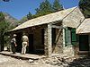
March 26, 1975 At jct. of N and S branch of McKittrick Canyon
31°59′1″N 104°46′50″W / 31.98361°N 104.78056°WGuadalupe Mountains National Park See also
References
- ^ The latitude and longitude information provided in this table was derived originally from the National Register Information System, which has been found to be fairly accurate for about 99% of listings. For about 1% of NRIS original coordinates, experience has shown that one or both coordinates are typos or otherwise extremely far off; some corrections may have been made. A more subtle problem causes many locations to be off by up to 150 yards, depending on location in the country: most NRIS coordinates were derived from tracing out latitude and longitudes off of USGS topographical quadrant maps created under the North American Datum of 1927, which differs from the current, highly accurate WGS84 GPS system used by Google maps. Chicago is about right, but NRIS longitudes in Washington are higher by about 4.5 seconds, and are lower by about 2.0 seconds in Maine. Latitudes differ by about 1.0 second in Florida. Some locations in this table may have been corrected to current GPS standards.
- ^ "National Register of Historic Places: Weekly List Actions". National Park Service, United States Department of the Interior. Retrieved on November 10, 2011.
- ^ a b c d e f g h i j k l m n o p q r s t u v w x y z aa ab ac ad Numbers represent an ordering by significant words. Various colorings, defined here, differentiate National Historic Landmark sites and National Register of Historic Places Districts from other NRHP buildings, structures, sites or objects.
- ^ a b c d e f g h i j k l m n o p q r s t u v w x y z aa ab ac ad "National Register Information System". National Register of Historic Places. National Park Service. 2008-04-24. http://nrhp.focus.nps.gov/natreg/docs/All_Data.html.
U.S. National Register of Historic Places Topics Lists by states Alabama • Alaska • Arizona • Arkansas • California • Colorado • Connecticut • Delaware • Florida • Georgia • Hawaii • Idaho • Illinois • Indiana • Iowa • Kansas • Kentucky • Louisiana • Maine • Maryland • Massachusetts • Michigan • Minnesota • Mississippi • Missouri • Montana • Nebraska • Nevada • New Hampshire • New Jersey • New Mexico • New York • North Carolina • North Dakota • Ohio • Oklahoma • Oregon • Pennsylvania • Rhode Island • South Carolina • South Dakota • Tennessee • Texas • Utah • Vermont • Virginia • Washington • West Virginia • Wisconsin • WyomingLists by territories Lists by associated states Other Categories:- National Register of Historic Places in Texas
-


Wikimedia Foundation. 2010.