- National Register of Historic Places listings in Bexar County, Texas
-
List of Registered Historic Places in Bexar County, Texas
This is intended to be a complete list of properties and districts listed on the National Register of Historic Places in Bexar County, Texas. The locations of National Register properties and districts (at least for all showing latitude and longitude coordinates below) may be seen in a Google map by clicking on "Map of all coordinates".[1]
-
- This National Park Service list is complete through NPS recent listings posted November 10, 2011.[2]
[3] Landmark name [4] Image Date listed Location City or town Summary 1 Alamo Methodist Church June 11, 1979 1150 S. Alamo St.
29°24′41″N 98°29′35″W / 29.411417°N 98.492917°WSan Antonio A church built in 1912. 2 Alamo National Bank Building (316 E. Commerce) 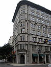
January 5, 1984 316 E. Commerce St.
29°25′26″N 98°29′21″W / 29.423833°N 98.489167°WSan Antonio 3 Alamo National Bank Building (105 S. St. Mary's) 
May 10, 2006 105 S. St. Mary's St.
29°25′27″N 98°29′30″W / 29.424167°N 98.491667°WSan Antonio 4 Alamo Plaza Historic District 
July 13, 1977 Roughly bounded by S. Broadway, Commerce, Bonham and Travis Sts.
29°25′31″N 98°29′08″W / 29.425278°N 98.485556°WSan Antonio 5 Alamo Portland and Roman Cement Works December 12, 1976 Brackenridge Park
29°27′38″N 98°28′36″W / 29.460556°N 98.476667°WSan Antonio 6 The Alamo 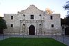
October 15, 1966 Alamo Plaza
29°25′32″N 98°29′10″W / 29.425556°N 98.486111°WSan Antonio 7 Alamo Stadium and Gymnasium September 8, 2011 110 Tuleta Drive
29°27′46″N 98°28′42″W / 29.462847°N 98.478333°WSan Antonio 7 Aue Stagecoach Inn 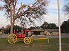
August 1, 1979 Boerne Stage Rd. and I-10
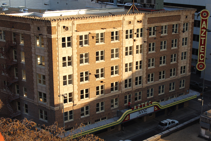
29°39′53″N 98°37′43″W / 29.664722°N 98.628611°WLeon Springs 8 Aztec Theater 
October 22, 1992 104 N. St. Mary's St.
29°25′28″N 98°29′27″W / 29.424444°N 98.490833°WSan Antonio 9 Barnes-Laird House July 28, 1988 103 W. Ashby Pl.
29°26′58″N 98°29′40″W / 29.449444°N 98.494444°WSan Antonio 10 Barr Building April 11, 1985 213-219 Broadway
29°25′41″N 98°29′15″W / 29.428056°N 98.4875°WSan Antonio 11 Base Administration Building 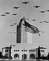
August 27, 1987 Randolph AFB
29°32′09″N 98°16′57″W / 29.535972°N 98.2825°WRandolph AFB 12 Bexar County Courthouse 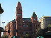
August 29, 1977 Main Plaza
29°25′23″N 98°29′36″W / 29.423056°N 98.493333°WSan Antonio 13 Blue Star Street Industrial Historic District June 24, 1994 1432 S. Alamo St.
29°24′35″N 98°29′44″W / 29.409722°N 98.495556°WSan Antonio 14 James Butler Bonham Elementary School November 17, 1978 925 S. St. Mary's St.
29°24′50″N 98°29′20″W / 29.413889°N 98.488889°WSan Antonio 15 Brackenridge Park August 4, 2011 Roughly bounded by Hildebrand Ave., Broadway & Ave. B, Josephine St., US 281, River Rd., Alpine Dr., N. St. Mary's St.
29°27′21″N 98°28′23″W / 29.455833°N 98.473056°WSan Antonio 16 Brady Building-Empire Theater March 17, 1999 204 E. Houston St.-226 N. St. Mary's St.
29°25′15″N 98°29′28″W / 29.420833°N 98.491111°WSan Antonio 17 Brooke Army Medical Center 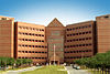
November 30, 2001 Building 1000, Stanley Rd., Fort Sam Houston
29°27′58″N 98°26′57″W / 29.466111°N 98.449167°WSan Antonio 18 Buckeye Park Gate 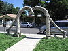
October 22, 2004 1600 W. Wildwood
29°28′45″N 98°31′17″W / 29.479167°N 98.521389°WSan Antonio 19 Builders Exchange Building November 16, 1994 152 Pecan St.
29°25′42″N 98°29′30″W / 29.428472°N 98.491667°WSan Antonio 20 Bungalow Colony Historic District July 8, 2003 Roughly bounded by Duncan Dr., Crockett Dr., Walker Rd. and Robins Dr.
29°22′48″N 98°33′39″W / 29.38°N 98.560833°WSan Antonio 21 Burns Building March 18, 1999 401 E. Houston St.
29°25′35″N 98°29′18″W / 29.426389°N 98.488333°WSan Antonio 22 The Bushnell August 26, 1982 240 Bushnell
29°27′44″N 98°29′16″W / 29.462222°N 98.487778°WSan Antonio 23 Calcasieu Building May 24, 1996 202-214 Broadway
29°25′40″N 98°29′14″W / 29.427639°N 98.487361°WSan Antonio 24 Carver, George Washington, Library and Auditorium November 15, 2003 226 N. Hackberry St.
29°25′19″N 98°28′21″W / 29.421944°N 98.4725°WSan Antonio 25 Central Trust Company Building August 11, 1982 603 Navarro St.
29°25′36″N 98°29′24″W / 29.426667°N 98.49°WSan Antonio 26 Chinese Sunken Garden Gate 
October 22, 2004 Brackenridge Park, 4000 N. St. Mary's St.
29°27′45″N 98°28′38″W / 29.4625°N 98.477222°WSan Antonio 27 Church of Nuestra Senora de la Candelaria y Guadalupe 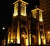
February 25, 1975 115 Main Ave.
29°25′28″N 98°29′39″W / 29.424444°N 98.494167°WSan Antonio 28 City of San Antonio Municipal Auditorium September 14, 1981 100 Auditorium Circle
29°25′50″N 98°29′20″W / 29.430556°N 98.48875°WSan Antonio 29 City Public Service Company Building December 7, 1995 201 N. St. Mary's St.
29°25′31″N 98°29′30″W / 29.425278°N 98.491667°WSan Antonio 30 L. B. Clegg House December 7, 1979 123 W. Park Ave.
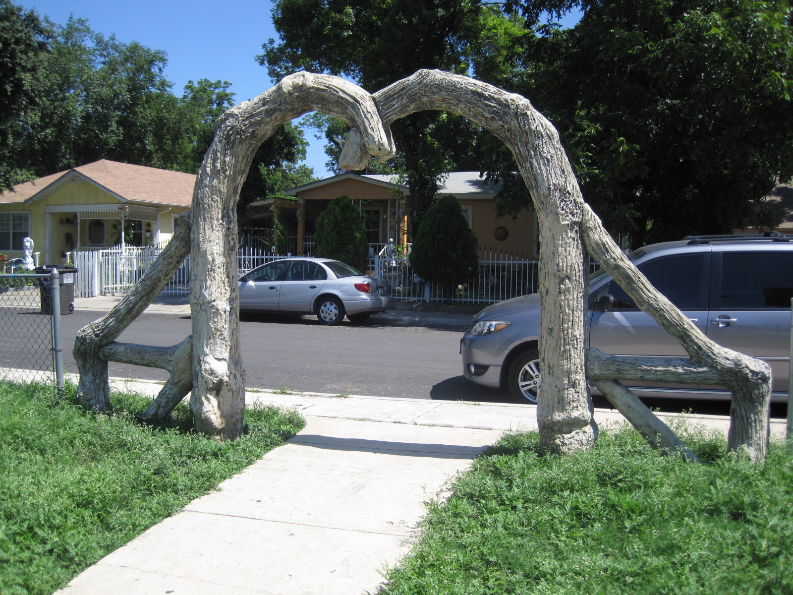
29°26′39″N 98°29′18″W / 29.444028°N 98.488333°WSan Antonio 31 Dionicio Rodriguez Bridge in Brackenridge Park October 22, 2004 4000 N. St. Mary's St.
29°27′53″N 98°28′06″W / 29.464722°N 98.468472°WSan Antonio 32 Emil Elmendorf House May 19, 1980 509 Burleson St.
29°25′58″N 98°28′21″W / 29.432778°N 98.4725°WSan Antonio 33 Espada Aqueduct 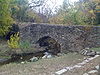
October 15, 1966 Espada Rd., E of U.S. 281S
29°19′56″N 98°27′40″W / 29.332222°N 98.461111°WSan Antonio 34 The Fairmount Hotel June 30, 1988 401 S. Alamo
29°25′14″N 98°29′18″W / 29.420556°N 98.488333°WSan Antonio 35 Fence at Alamo Cement Company August 9, 2005 7300 Jones Maltsberger Rd.
29°29′51″N 98°28′44″W / 29.4975°N 98.47875°WSan Antonio 36 First National Bank of San Antonio March 16, 1972 213 W. Commerce St.
San Antonio 37 Floore Country Store December 6, 2005 14492 Old Bandera Rd.
29°34′40″N 98°41′26″W / 29.577778°N 98.690556°WHelotes 38 Fort Sam Houston 
May 15, 1975 N edge of San Antonio
29°26′52″N 98°27′52″W / 29.447778°N 98.464444°WSan Antonio 39 Fountain at Alamo Cement Company August 9, 2005 7300 Jones Maltsberger Rd.
29°29′51″N 98°28′45″W / 29.4975°N 98.479167°WSan Antonio 40 Fourth Ward School November 17, 1978 141 Lavaca St.
29°25′02″N 98°29′12″W / 29.417222°N 98.486667°WSan Antonio 41 Thomas H. Franklin House May 22, 1986 105 E. French Pl.
29°27′02″N 98°29′37″W / 29.450556°N 98.493611°WSan Antonio 42 Friedrich Complex September 26, 2002 1617 E. Commerce St.
29°25′14″N 98°28′14″W / 29.420556°N 98.470556°WSan Antonio 43 Garcia-Garza House July 7, 1983 214 W. Salinas St.
29°25′41″N 98°29′42″W / 29.428056°N 98.495°WSan Antonio 44 Goad Motor Company Building December 8, 1997 317 Lexington Ave.
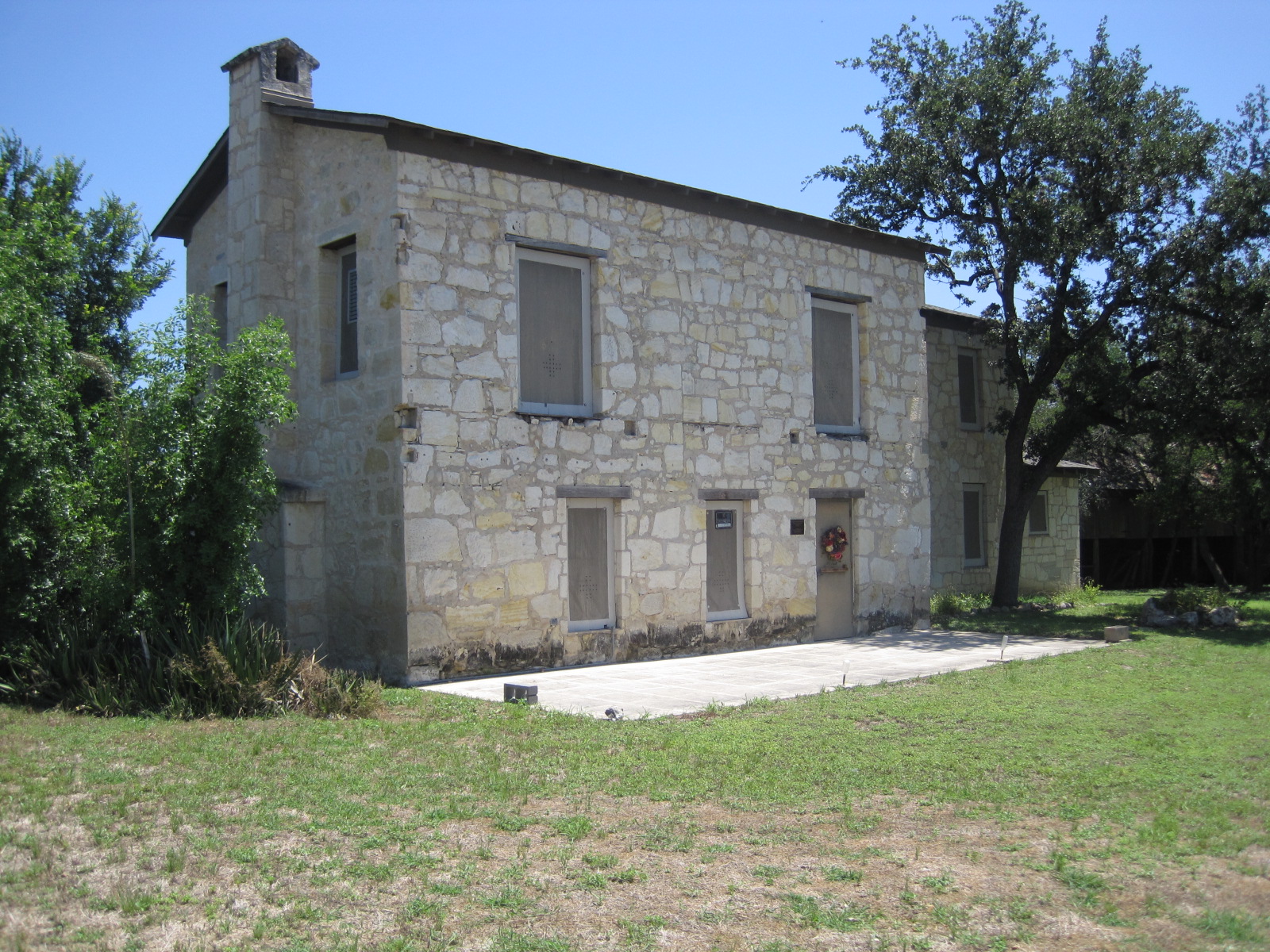
29°26′00″N 98°29′25″W / 29.433333°N 98.490278°WSan Antonio 45 Carl Hilmar Guenther House October 11, 1990 205 E. Guenther St.
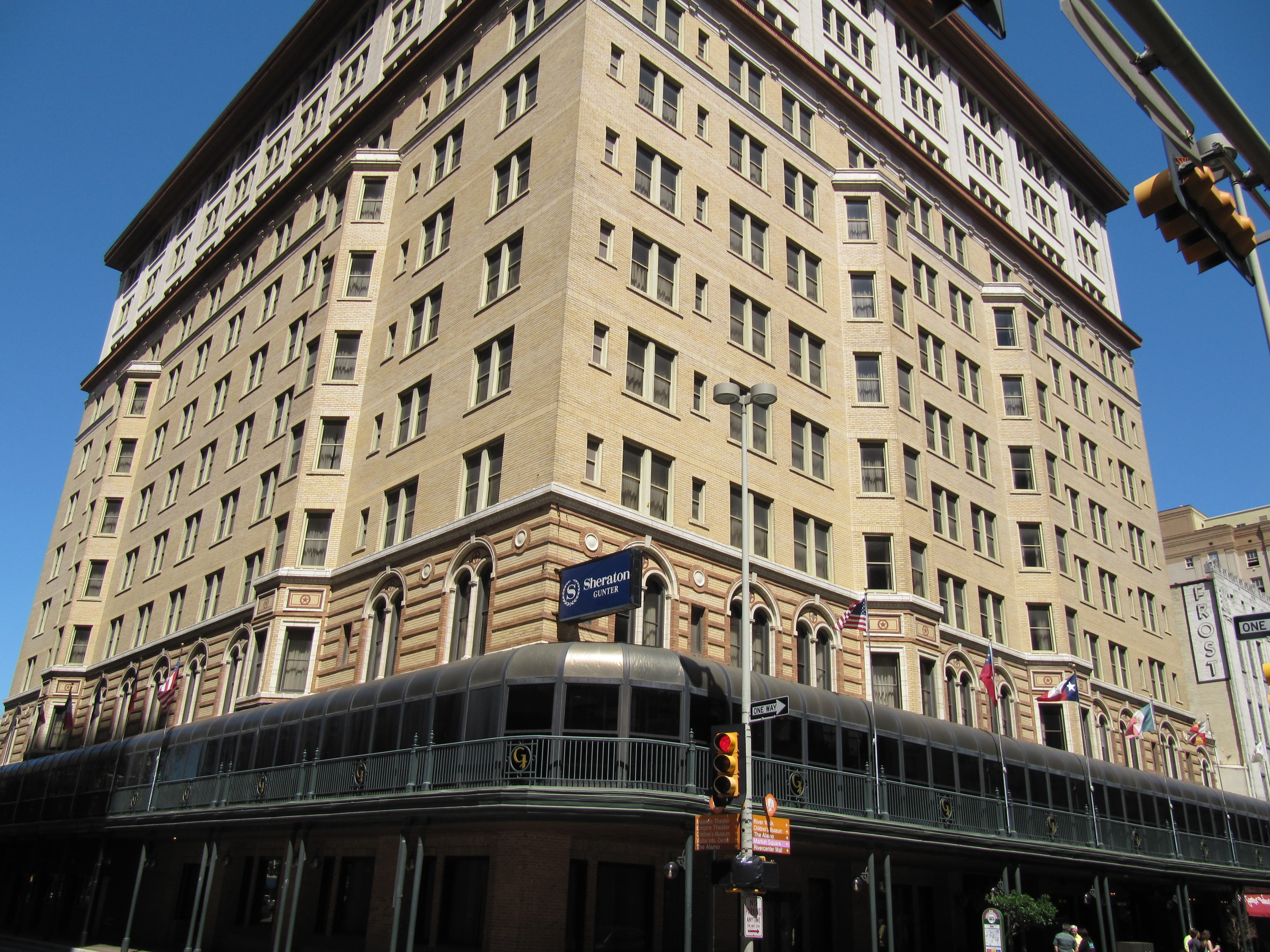
29°24′41″N 98°29′42″W / 29.411389°N 98.495°WSan Antonio 46 Gunter Hotel 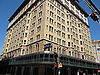
January 9, 2007 205 E. Houston St.
29°25′35″N 98°29′28″W / 29.426389°N 98.491111°WSan Antonio 47 A. H. Halff House September 4, 1986 601 Howard St.
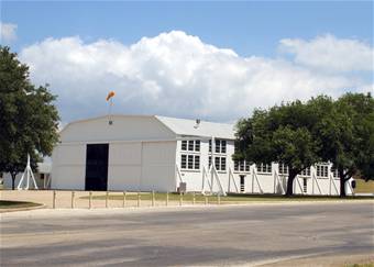
29°26′31″N 98°29′45″W / 29.441944°N 98.495833°WSan Antonio 48 Hangar 9 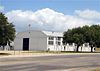
May 21, 1970 Brooks Air Force Base Inner Circle Rd.
29°20′38″N 98°26′39″W / 29.343889°N 98.444167°WSan Antonio 49 Ethel Wilson Harris House April 3, 2001 6519 San Jose Dr.-San Antonio Missions NHP
29°21′48″N 98°28′50″W / 29.363333°N 98.480417°WSan Antonio Modern Movement house built in 1956, designed by Robert Harris, which happens to be included in the San Antonio Missions National Historical Park 50 John S. Harrison House June 29, 2006 14997 Evans Rd.
29°34′32″N 98°18′19″W / 29.5755°N 98.305306°WSelma 51 The Havana April 10, 1986 1015 Navarro St.
29°25′51″N 98°29′23″W / 29.430833°N 98.489722°WSan Antonio 52 Heidemann Ranch July 6, 2011 26090 Toutant Beauregard Rd.
29°41′18″N 98°42′13″W / 29.688333°N 98.703611°WSan Antonio Farms and Ranches of Bexar County, Texas MPS 53 Johann and Anna Heidgen House June 9, 2004 121 Starr St.
29°25′34″N 98°28′56″W / 29.426111°N 98.482222°WSan Antonio 54 Heimann Building January 27, 2005 118 N. Medina St.
29°25′37″N 98°30′17″W / 29.426806°N 98.504861°WSan Antonio 55 Herrera Ranch September 9, 2010 Old Somerset Rd. at Medina River
29°16′59″N 98°36′51″W / 29.283056°N 98.614028°WVon Ormy 56 Huebner-Onion Homestead and Stagecoach Stop 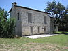
August 10, 2005 6613 Bandera Rd.
29°29′39″N 98°37′00″W / 29.494167°N 98.616667°WLeon Valley 57 International & Great Northern Railroad Passenger Station September 9, 1975 Medina and Houston Sts.
29°25′37″N 98°30′19″W / 29.426944°N 98.505278°WSan Antonio 58 Jacala Restaurant October 22, 2004 2702 N. St. Mary's St.
29°27′01″N 98°29′13″W / 29.450278°N 98.486944°WSan Antonio 59 Kelly Field Historic District July 10, 2003 Roughly encompassing the 1600 and 1700 Areas of Kelly AFB
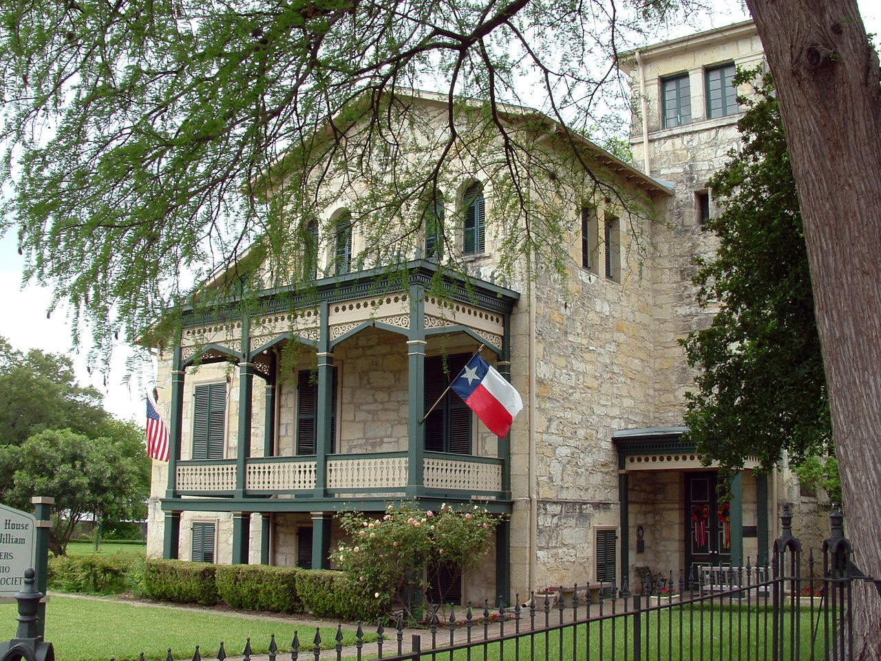
29°22′57″N 98°34′15″W / 29.3825°N 98.570833°WSan Antonio 60 King William Historic District 
January 20, 1972 Roughly bounded by Durango, Alamo, Guenther Sts. and the San Antonio River
29°24′51″N 98°29′34″W / 29.414167°N 98.492778°WSan Antonio 61 Krause House July 19, 2010 8551 Old Pearsall Road
29°18′20″N 98°39′56″W / 29.305472°N 98.665444°WSan Antonio 62 La Villita Historic District 
January 20, 1972 Bounded by Durango, Navarro, Alamo Sts. and San Antonio River
29°25′17″N 98°29′20″W / 29.421389°N 98.488889°WSan Antonio 63 Lavaca Historic District July 5, 2000 Roughly bounded by S. Alamo St., S. Presa St., alley bet. Camargo St., Callahan Ave., Labor St., and Garfield Alley
29°24′47″N 98°29′14″W / 29.413056°N 98.487222°WSan Antonio 64 Robert E. Lee Hotel February 16, 1996 111 Travis St.
29°25′39″N 98°29′39″W / 29.4275°N 98.494167°WSan Antonio 65 Lerma's Nite Club March 21, 2011 1602-1612 N Zarzamora
29°26′40″N 98°31′29″W / 29.444306°N 98.524792°WSan Antonio 66 Light House March 21, 2011 300 Argyle Ave
29°28′32″N 98°28′10″W / 29.475417°N 98.469514°WAlamo Heights 67 Live Oak Park Site December 15, 1978 Address Restricted Live Oak 41BX435 68 Livingston-Hess House February 16, 1996 228 W. Huisache Ave.
29°27′21″N 98°29′46″W / 29.455833°N 98.496111°WSan Antonio 69 Main and Military Plazas Historic District June 11, 1979 Roughly bounded by San Antonio River, E. Nueva, Laredo, and Houston Sts.
29°25′27″N 98°29′37″W / 29.424167°N 98.493611°WSan Antonio 70 Majestic Theatre 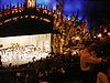
October 1, 1975 230 E. Houston St.
29°25′35″N 98°29′26″W / 29.42625°N 98.490556°WSan Antonio 71 Maverick Building January 24, 1995 606 N. Presa
29°25′35″N 98°29′18″W / 29.42625°N 98.488472°WSan Antonio 72 Maverick-Altgelt Ranch and Fenstermaker-Fromme Farm April 12, 1979 Address Restricted San Antonio 41BX493, 41BX494, 41BX495, 41BX496, 41BX497, 41BX498 73 Maverick-Carter House July 21, 1998 119 Taylor St.
29°25′48″N 98°29′18″W / 29.43°N 98.488472°WSan Antonio 74 Otto Meerscheidt House July 4, 1980 332 Adams St.
29°24′30″N 98°29′25″W / 29.408333°N 98.490278°WSan Antonio 75 Menger Soap Works December 12, 1973 400 block of N. Laredo St.
29°25′45″N 98°29′48″W / 29.429028°N 98.496667°WSan Antonio 76 Merchants Ice and Cold Storage Company September 26, 2002 1305 E. Houston St.
29°25′31″N 98°28′38″W / 29.425278°N 98.477222°WSan Antonio 77 Meyer Pottery Archeological Complex March 9, 1990 Address Restricted Atascosa 41BX128, aka Black Hill Pottery 78 Miraflores Park June 14, 2006 800 Hildebrand
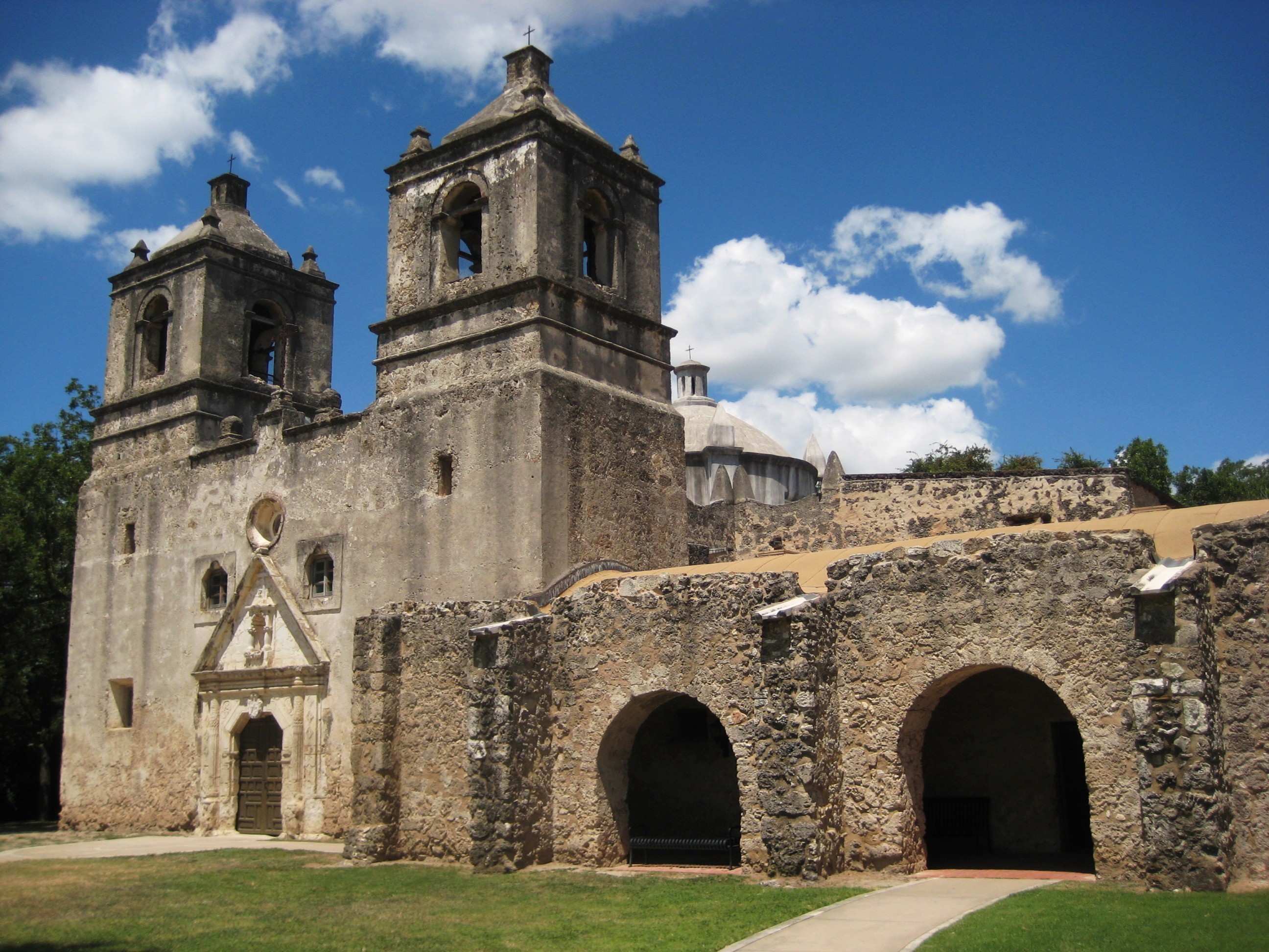
29°28′00″N 98°28′03″W / 29.466667°N 98.4675°WSan Antonio 79 Mission Concepcion 
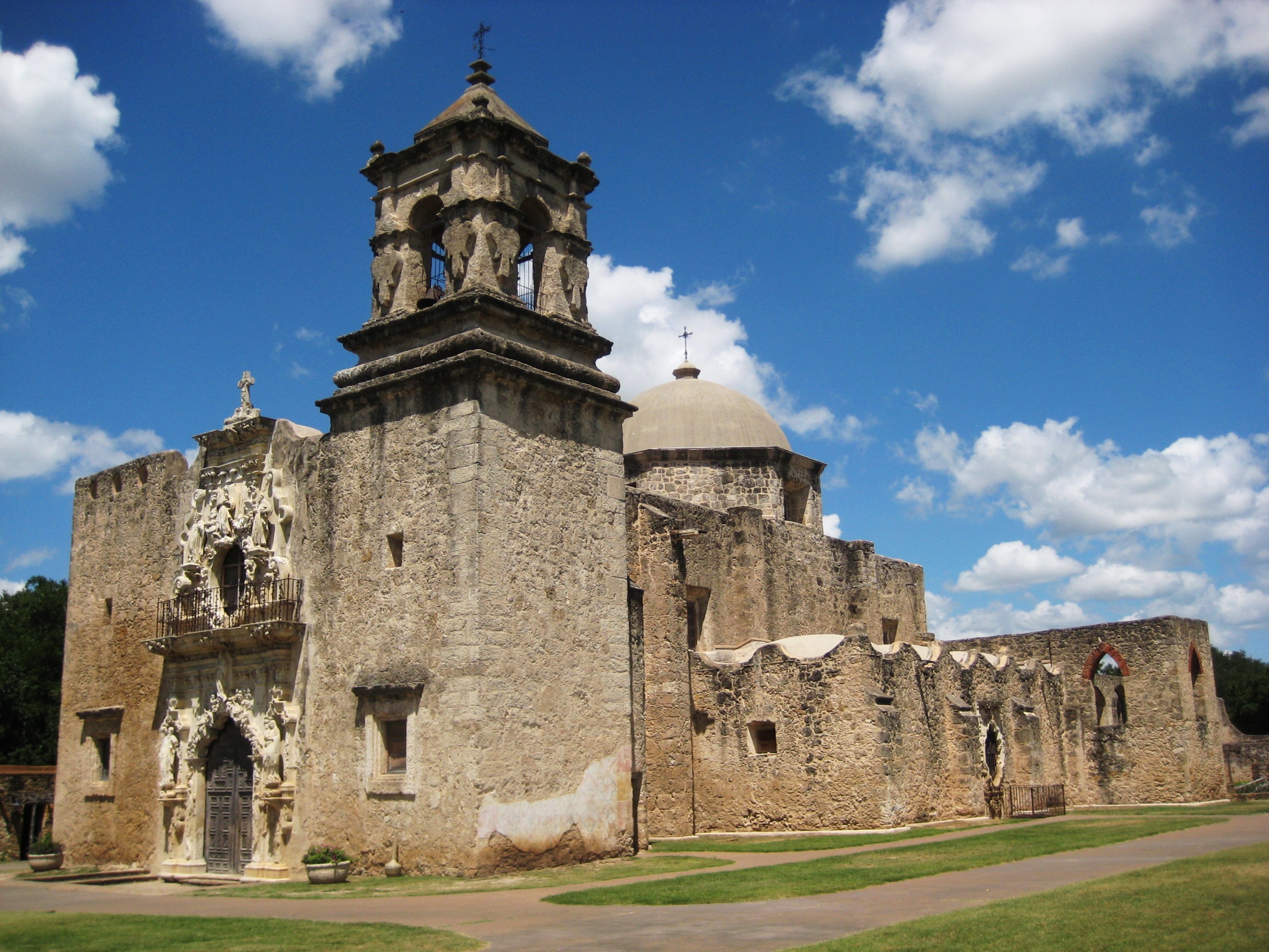
April 15, 1970 807 Mission Rd.
29°23′27″N 98°29′29″W / 29.390833°N 98.49125°WSan Antonio 80 Mission Parkway October 6, 1975 Along San Antonio River
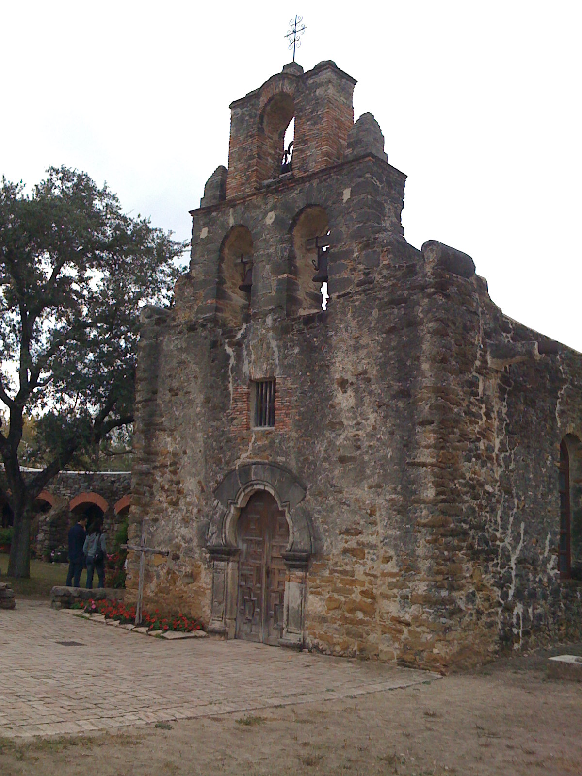
29°21′06″N 98°28′11″W / 29.351667°N 98.469722°WSan Antonio 81 Mission San Francisco de la Espada 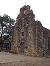
February 23, 1972 Espada Rd.
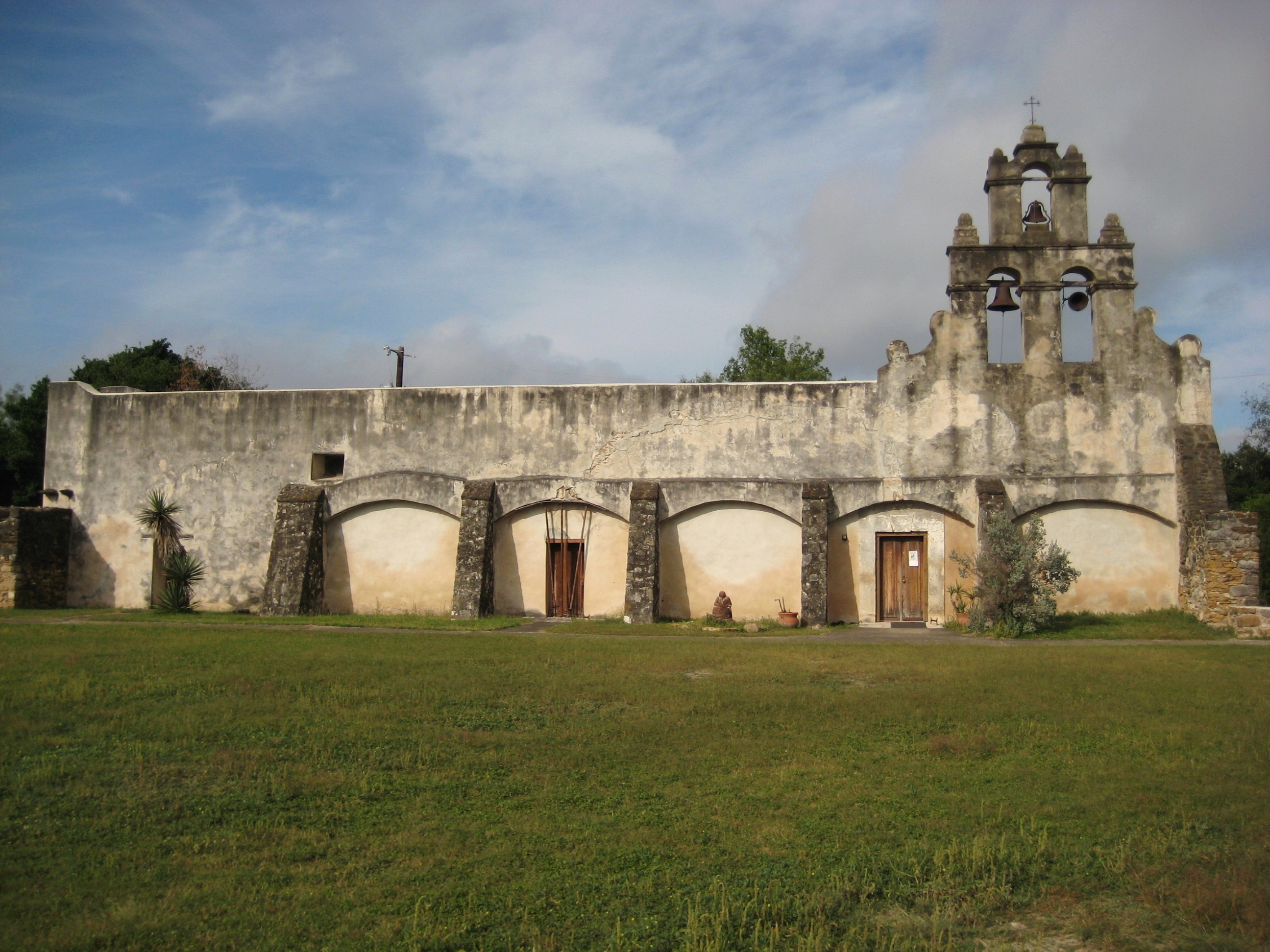
29°19′03″N 98°27′00″W / 29.3175°N 98.45°WSan Antonio Boundary increase January 28, 1974 82 Mission San Juan Capistrano 
February 23, 1972 Mission Rd.
29°19′55″N 98°27′16″W / 29.331944°N 98.454444°WSan Antonio 83 Monastery of Our Lady of Charity June 25, 1999 1900 Montana
29°25′05″N 98°26′56″W / 29.418056°N 98.448889°WSan Antonio 84 Monte Vista Residential Historic District December 10, 1998 Roughly bounded by Hildebrand, Stadium, N. St. Mary's, Asby, and San Pedro Sts.
29°27′27″N 98°29′26″W / 29.4575°N 98.490556°WSan Antonio 85 William J. Morrison Jr. House July 12, 1990 710 N. Olive St.
29°25′41″N 98°28′16″W / 29.428056°N 98.471111°WSan Antonio 86 Jose Antonio Navarro Elementary School November 29, 1978 623 S. Pecos St.
29°25′11″N 98°30′08″W / 29.419722°N 98.502222°WSan Antonio 87 Jose Antonio Navarro House Complex March 24, 1972 228-232 S. Laredo St.
29°25′23″N 98°29′50″W / 29.423056°N 98.497361°WSan Antonio 88 Old Lone Star Brewery 
October 26, 1972 200 West Jones Ave.
29°26′13″N 98°28′53″W / 29.436944°N 98.481389°WSan Antonio October 26, 1972 and September 25, 1979 (boundary increase) 89 Our Lady of Mount Carmel and St. Therese Church 
July 9, 1998 906 Kentucky
29°26′45″N 98°31′30″W / 29.445833°N 98.525°WSan Antonio 90 Hiram Partee House September 20, 1984 605 Belknap Pl.
29°27′08″N 98°29′52″W / 29.452222°N 98.497778°WSan Antonio 91 Pershing House July 30, 1974 Staff Post Rd., Fort Sam Houston
29°26′42″N 98°28′10″W / 29.445°N 98.469306°WSan Antonio 92 Plehwe Complex December 15, 1983 W of Leon Springs on Boerne Stage Rd.
29°39′54″N 98°38′10″W / 29.665°N 98.636111°WLeon Springs 93 Post Chapel, Fort Sam Houston May 17, 1974 Bldg. 2200, Wilson St.
29°26′54″N 98°27′31″W / 29.448333°N 98.458611°WSan Antonio 94 Prospect Hill Missionary Baptist Church September 18, 1986 1601 Buena Vista
29°25′35″N 98°30′57″W / 29.42625°N 98.515972°WSan Antonio 95 The Quadrangle July 30, 1974 Grayson St., Fort Sam Houston
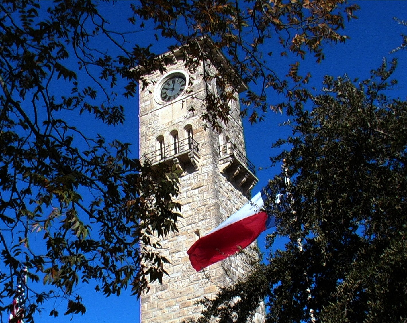
29°26′40″N 98°27′44″W / 29.444444°N 98.462222°WSan Antonio 96 Randolph Field Historic District July 8, 1996 Randolph Air Force Base, off Pat Booker Rd., 18 NE of San Antonio
29°31′56″N 98°16′48″W / 29.532222°N 98.28°WSan Antonio 97 Saint Anthony Hotel September 19, 1986 300 Travis St.
29°25′38″N 98°29′19″W / 29.427222°N 98.488611°WSan Antonio 98 Salado Battlefield and Archeological Site November 21, 1978 Address Restricted San Antonio 99 San Antonio Casino Club Building 
January 8, 1980 102 W. Crockett St.
29°25′30″N 98°29′19″W / 29.425°N 98.488611°WSan Antonio 100 Old San Antonio City Cemeteries Historic District October 11, 2000 Roughly bounded by Nevada, New Braunfels, Paso Hondo, Palmetto, Potomac, St. James, Pine, E. Commerce, Dakota, Monumenta
29°25′08″N 98°27′52″W / 29.418889°N 98.464444°WSan Antonio 101 San Antonio Drug Company May 19, 1994 432 W. Market St.
29°25′25″N 98°29′29″W / 29.423611°N 98.491389°WSan Antonio 102 San Antonio Loan and Trust Building July 12, 1976 235 E. Commerce St.
29°25′25″N 98°29′26″W / 29.423611°N 98.490556°WSan Antonio 103 San Antonio Missions National Historical Park 
November 10, 1978 Mission and Espada Rds. and San Jose Dr.
29°21′42″N 98°28′49″W / 29.36167°N 98.48028°WSan Antonio 104 San Antonio National Cemetery November 22, 1999 517 Paso Hondo St.
29°25′20″N 98°28′05″W / 29.422222°N 98.468056°WSan Antonio 105 San Antonio US Post Office and Courthouse 
September 29, 2000 615 E. Houston St.
29°25′37″N 98°29′11″W / 29.426944°N 98.48625°WSan Antonio 106 San Antonio Water Works Pump Station No. 2 August 21, 1981 Brackenridge Park
29°26′55″N 98°28′36″W / 29.448611°N 98.476667°WSan Antonio 107 San Jose Mission National Historic Site 
October 15, 1966 6519 San Jose Dr.
29°21′44″N 98°28′47″W / 29.36222°N 98.47972°WSan Antonio 108 San Pedro Springs Park November 1, 1979 San Pedro Ave.
29°26′48″N 98°30′05″W / 29.446667°N 98.501389°WSan Antonio 109 Schroeder-Yturri House April 14, 1975 1040 E. Commerce St.
29°25′20″N 98°28′54″W / 29.422153°N 98.481667°WSan Antonio 110 Scottish Rite Cathedral February 16, 1996 308 Ave. E
29°25′39″N 98°29′03″W / 29.4275°N 98.484167°WSan Antonio 111 Smith-Young Tower 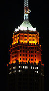
November 13, 1991 310 S. St. Mary's St.
29°25′22″N 98°29′29″W / 29.422778°N 98.491319°WSan Antonio 112 Source of the River District July 31, 1978 Address Restricted San Antonio 113 South Alamo Street-South Mary's Street Historic District October 4, 1984 Bounded by the San Antonio River, S. Alamo, S. St. Mary's, and Temple Sts.
29°24′29″N 98°29′25″W / 29.408056°N 98.490278°WSan Antonio 114 Southern Pacific Depot Historic District February 1, 1979 Roughly bounded by Crockett, Chestnut, Galveston, and Cherry Sts.
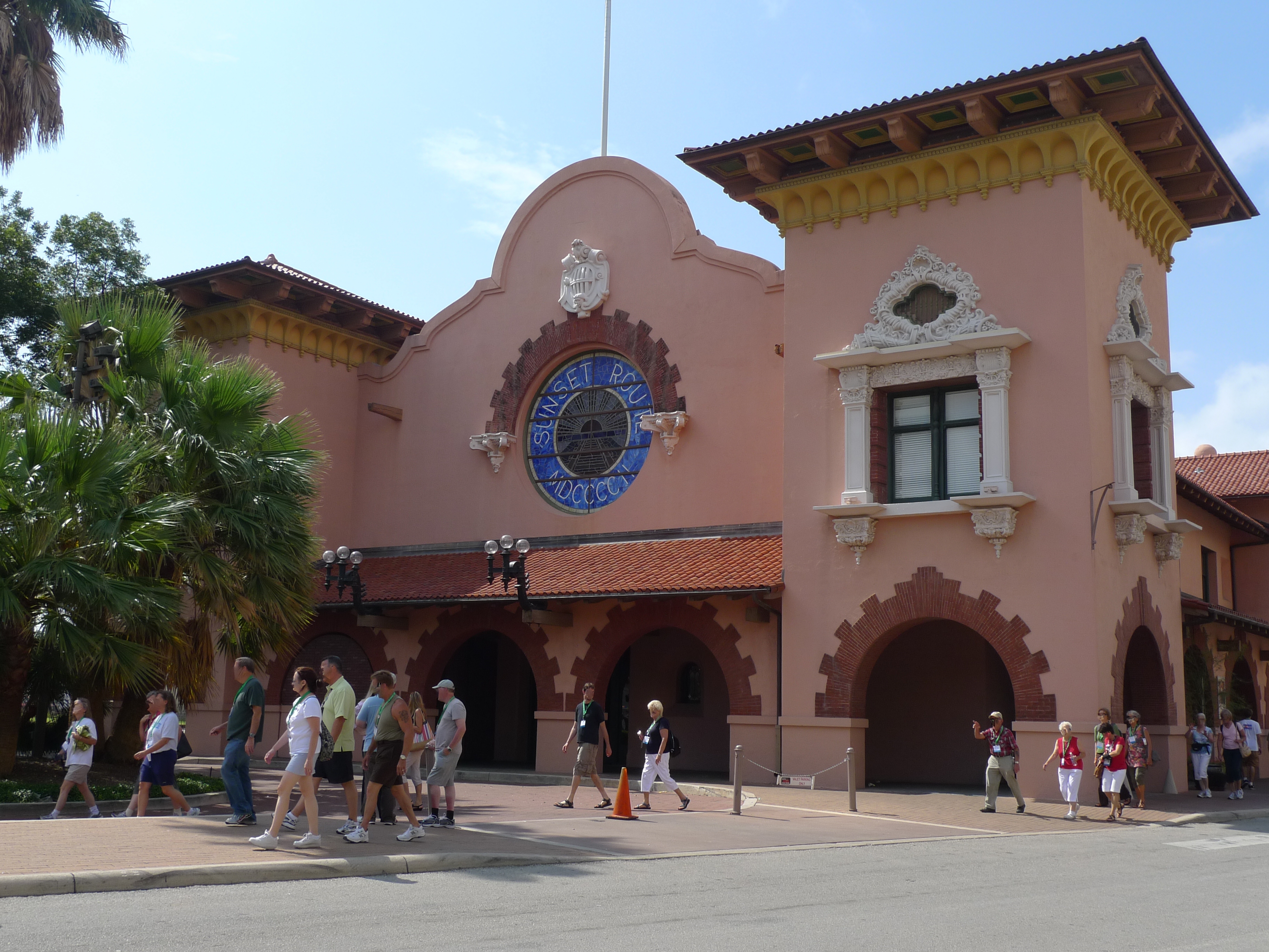
29°25′16″N 98°28′40″W / 29.421111°N 98.477778°WSan Antonio 115 Southern Pacific Railroad Passenger Station 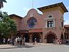
May 29, 1975 1174 E. Commerce St.
29°25′12″N 98°28′40″W / 29.42°N 98.477778°WSan Antonio 116 Spanish Governor's Palace 
April 15, 1970 105 Military Plaza
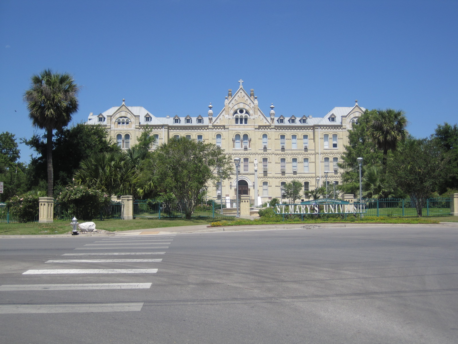
29°25′29″N 98°29′43″W / 29.424722°N 98.495278°WSan Antonio 117 St. Louis Hall at St. Mary's University 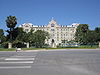
March 24, 2008 1 Camino Santa Maria
29°27′10″N 98°33′40″W / 29.452778°N 98.561111°WSan Antonio 118 St. Mark's Episcopal Church February 12, 1998 315 E. Pecan St.
29°25′43″N 98°29′19″W / 29.428611°N 98.488611°WSan Antonio 119 Staacke Brothers Building 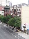
September 2, 1980 309 E. Commerce St.
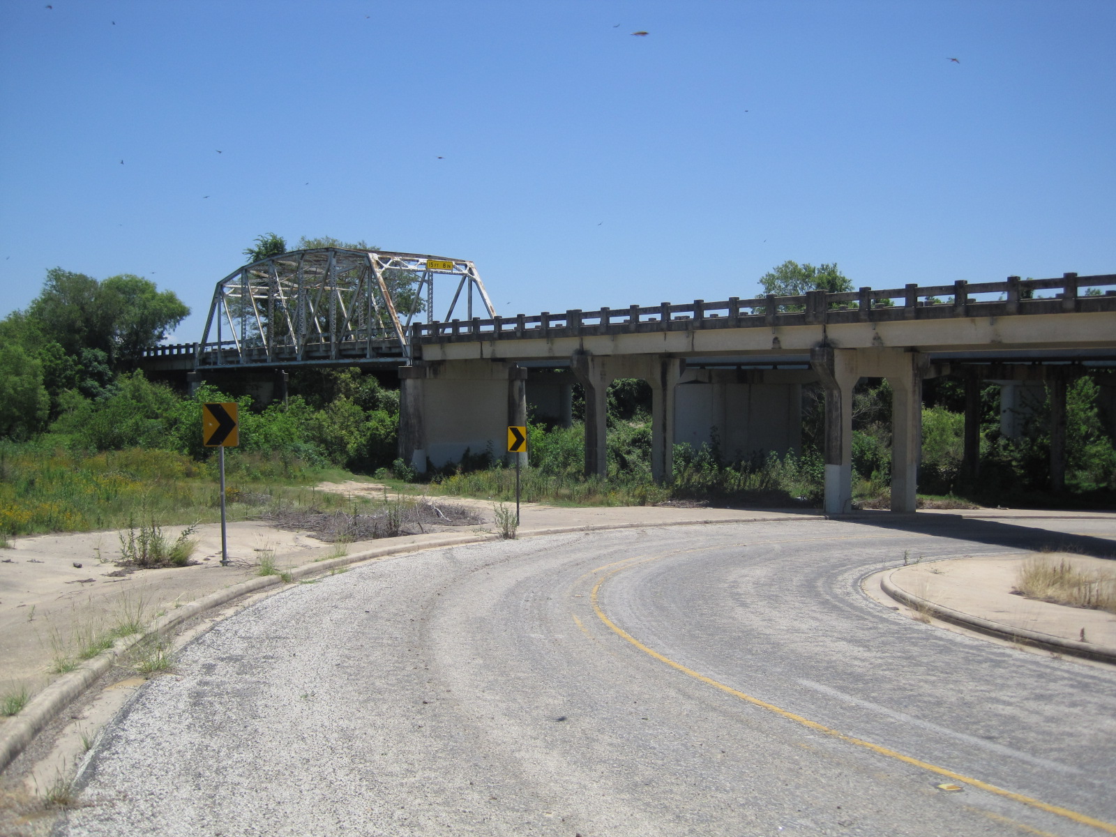
29°25′28″N 98°29′22″W / 29.424306°N 98.489444°WSan Antonio 120 State Highway 3-A Bridge at Cibolo Creek 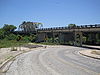
October 10, 1996 I-10 at the Bexar and Guadalupe Cnty. line
29°30′05″N 98°11′11″W / 29.501389°N 98.186389°WSchertz 121 Stations of the Cross and Grotto at the Shrine of St. Anthony de Padua December 23, 2004 100 Peter Baque Rd.
29°30′04″N 98°28′14″W / 29.501111°N 98.470556°WSan Antonio 122 Stevens Building May 10, 1984 315 E. Commerce St.
29°25′27″N 98°29′21″W / 29.424167°N 98.489167°WSan Antonio 123 Thiele House and Thiele Cottage March 3, 1983 411 and 415 Sixth St.
29°25′47″N 98°28′59″W / 29.429722°N 98.483056°WSan Antonio 124 Thomas Jefferson High School 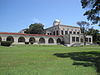
September 22, 1983 723 Donaldson Ave.
29°27′54″N 98°32′15″W / 29.465°N 98.5375°WSan Antonio 125 The Toltec July 26, 2010 131 Taylor Ave.
29°25′49″N 98°29′16″W / 29.430389°N 98.487694°WSan Antonio Apartment Complex built between 1910 and 1920[5] 126 Trolley Stop in Alamo Heights October 22, 2004 4900 blk of Broadway
29°28′17″N 98°27′48″W / 29.471389°N 98.463333°WAlamo Heights 127 U.S. San Antonio Arsenal December 30, 1969 Roughly bounded by S. Flores and E. Arsenal Sts., and the San Antonio River
29°24′28″N 98°29′44″W / 29.407778°N 98.495556°WSan Antonio 128 Gustav Uhl House and Store September 26, 2002 721 Avenue E
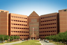
29°25′52″N 98°28′52″W / 29.431111°N 98.481111°WSan Antonio 129 University of Incarnate Word Administration Building May 17, 2010 4301 Broadway
29°28′01″N 98°27′54″W / 29.467083°N 98.465°WSan Antonio 130 Ursuline Academy November 25, 1969 300 Augusta St.
29°25′52″N 98°29′32″W / 29.431111°N 98.492222°WSan Antonio 131 Vogel Belt Complex April 10, 1975 111-121 Military Plaza
29°25′28″N 98°29′45″W / 29.424444°N 98.495833°WSan Antonio 132 Walker Ranch February 24, 1975 Address Restricted San Antonio 133 R.L. White Ranch February 24, 1975 18744 Bandera Rd. E.
29°37′04″N 98°45′02″W / 29.617778°N 98.750556°WHelotes 134 David J. and May Bock Woodward House February 16, 1996 1717 San Pedro Ave.
29°27′01″N 98°29′59″W / 29.450278°N 98.499722°WSan Antonio 135 L. T. Wright House April 1, 1983 342 Wilkens Ave.
29°23′42″N 98°29′08″W / 29.395°N 98.485694°WSan Antonio 136 Ximenes Chapel September 8, 1980 113 Ruiz St.
29°26′03″N 98°30′13″W / 29.434167°N 98.503611°WSan Antonio 137 Yturri-Edmunds House August 8, 1996 257 Yellowstone St.
29°23′53″N 98°29′15″W / 29.398194°N 98.4875°WSan Antonio See also
References
- ^ The latitude and longitude information provided in this table was derived originally from the National Register Information System, which has been found to be fairly accurate for about 99% of listings. For about 1% of NRIS original coordinates, experience has shown that one or both coordinates are typos or otherwise extremely far off; some corrections may have been made. A more subtle problem causes many locations to be off by up to 150 yards, depending on location in the country: most NRIS coordinates were derived from tracing out latitude and longitudes off of USGS topographical quadrant maps created under North American Datum of 1927, which differs from the current, highly accurate GPS system used by Google maps. Chicago is about right, but NRIS longitudes in Washington are higher by about 4.5 seconds, and are lower by about 2.0 seconds in Maine. Latitudes differ by about 1.0 second in Florida. Some locations in this table may have been corrected to current GPS standards.
- ^ "National Register of Historic Places: Weekly List Actions". National Park Service, United States Department of the Interior. Retrieved on November 10, 2011.
- ^ Numbers represent an ordering by significant words. Various colorings, defined here, differentiate National Historic Landmark sites and National Register of Historic Places Districts from other NRHP buildings, structures, sites or objects.
- ^ "National Register Information System". National Register of Historic Places. National Park Service. . http://nrhp.focus.nps.gov/natreg/docs/All_Data.html.
- ^ [1]
U.S. National Register of Historic Places Topics Lists by states Alabama • Alaska • Arizona • Arkansas • California • Colorado • Connecticut • Delaware • Florida • Georgia • Hawaii • Idaho • Illinois • Indiana • Iowa • Kansas • Kentucky • Louisiana • Maine • Maryland • Massachusetts • Michigan • Minnesota • Mississippi • Missouri • Montana • Nebraska • Nevada • New Hampshire • New Jersey • New Mexico • New York • North Carolina • North Dakota • Ohio • Oklahoma • Oregon • Pennsylvania • Rhode Island • South Carolina • South Dakota • Tennessee • Texas • Utah • Vermont • Virginia • Washington • West Virginia • Wisconsin • WyomingLists by territories Lists by associated states Other  Category:National Register of Historic Places •
  Portal:National Register of Historic PlacesCategories:
- Bexar County, Texas
- National Register of Historic Places in Texas
- Buildings and structures in Bexar County, Texas
-


Wikimedia Foundation. 2010.