- National Register of Historic Places listings in Cameron County, Texas
-
List of Registered Historic Places in Angelina County, Texas
This is intended to be a complete list of properties and districts listed on the National Register of Historic Places in Cameron County, Texas. The locations of National Register properties and districts (at least for all showing latitude and longitude coordinates below) may be seen in a Google map by clicking on "Map of all coordinates".[1]
-
- This National Park Service list is complete through NPS recent listings posted November 10, 2011.[2]
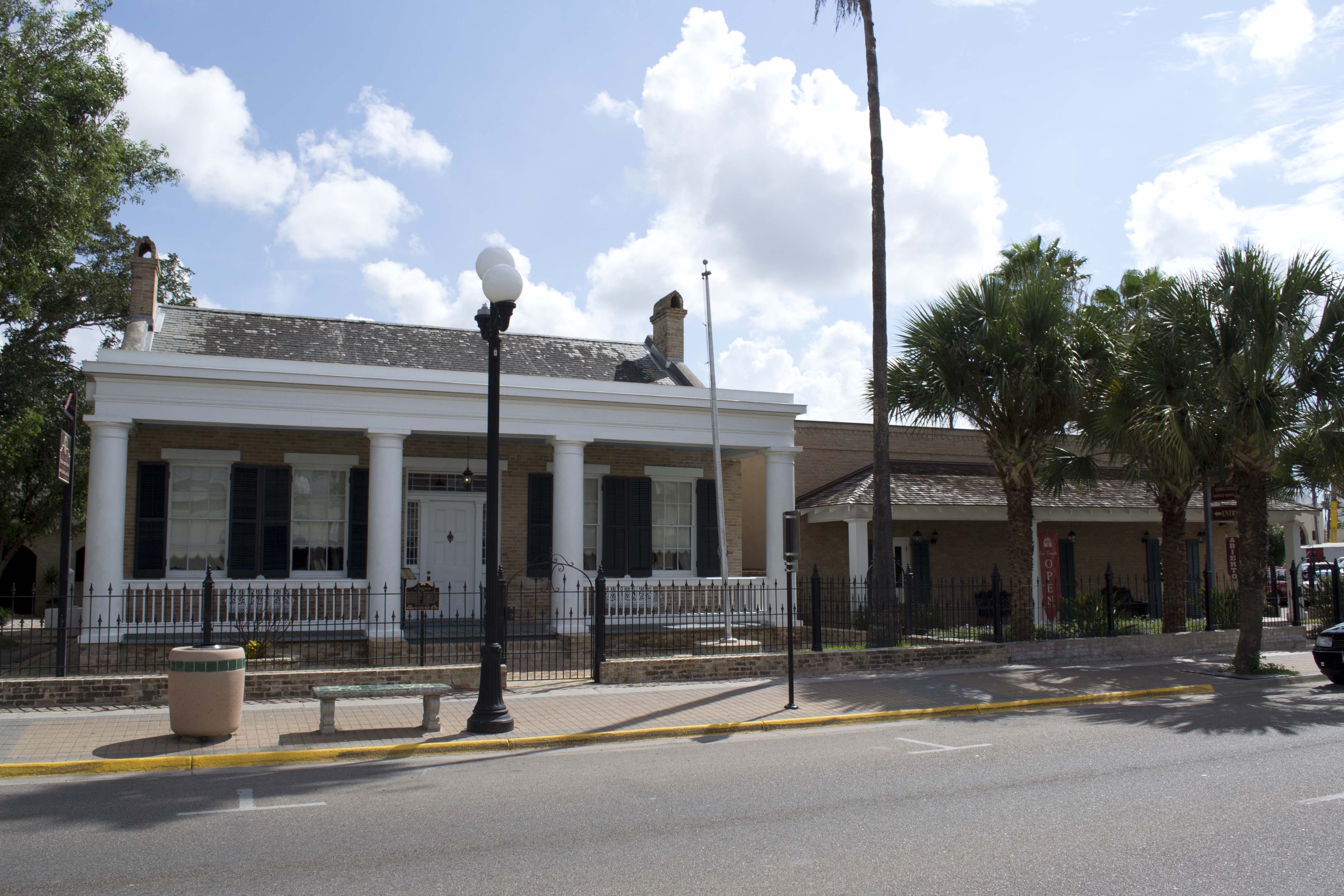
[3] Landmark name [4] Image Date listed Location City or town Summary 1 Brazos Santiago Depot July 14, 1971 Restricted
Port Isabel 2 Samuel Wallace Brooks House 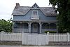
November 22, 1988 623 E St. Charles St.
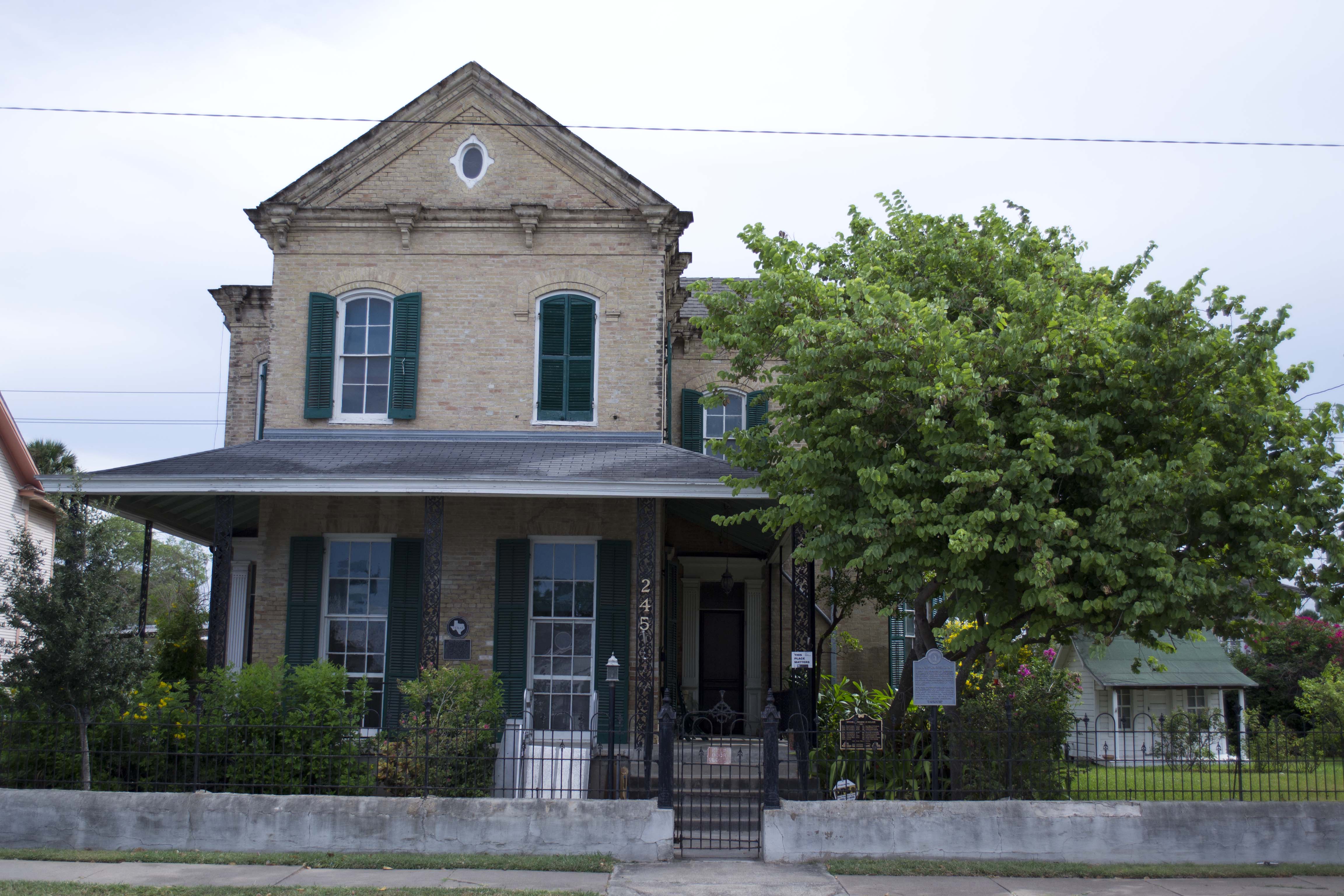
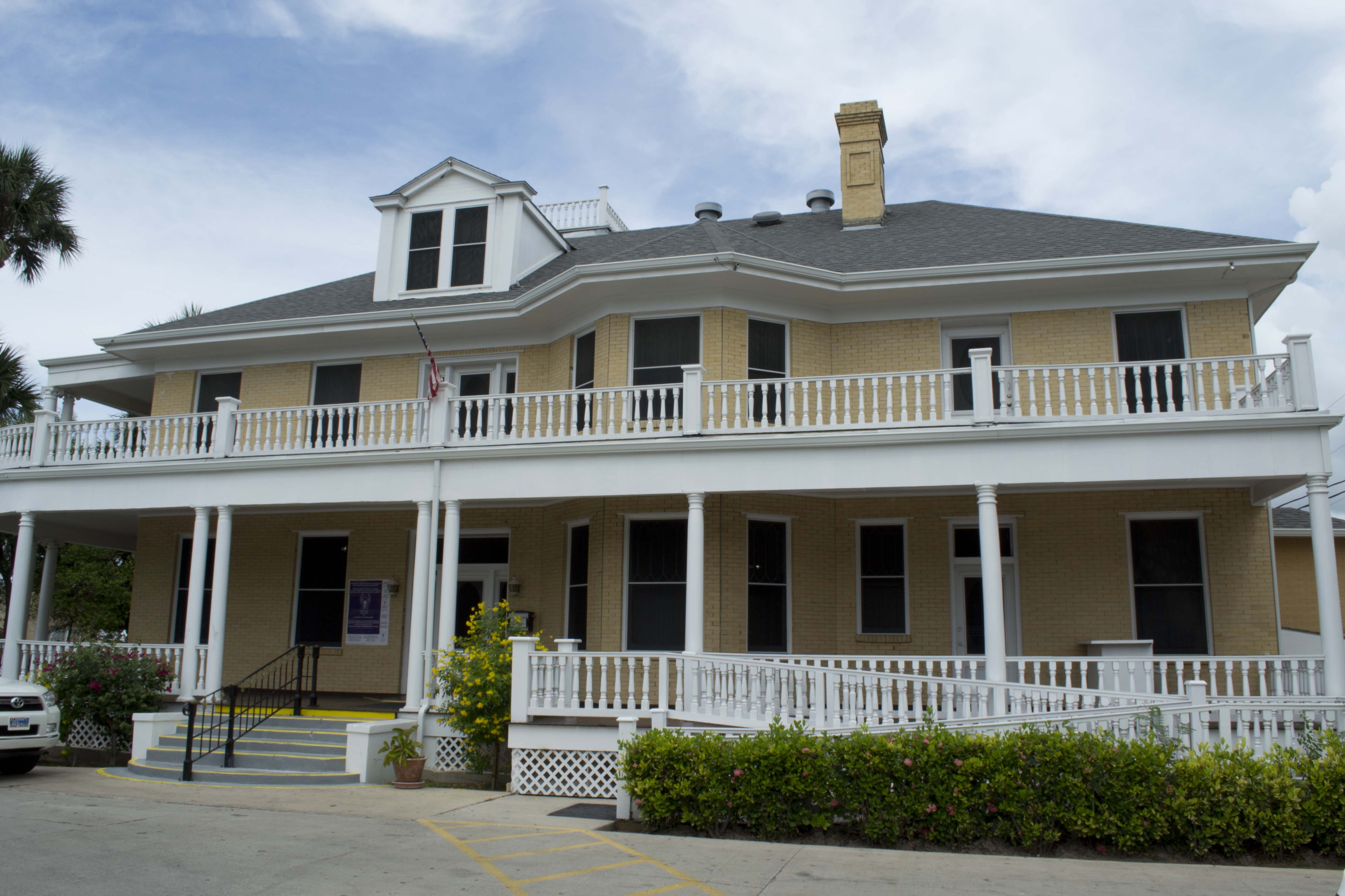
25°54′14″N 97°30′12″W / 25.90375°N 97.503472°WBrownsville 3 Brown-Wagner House 
August 29, 1977 245 E St. Charles St.
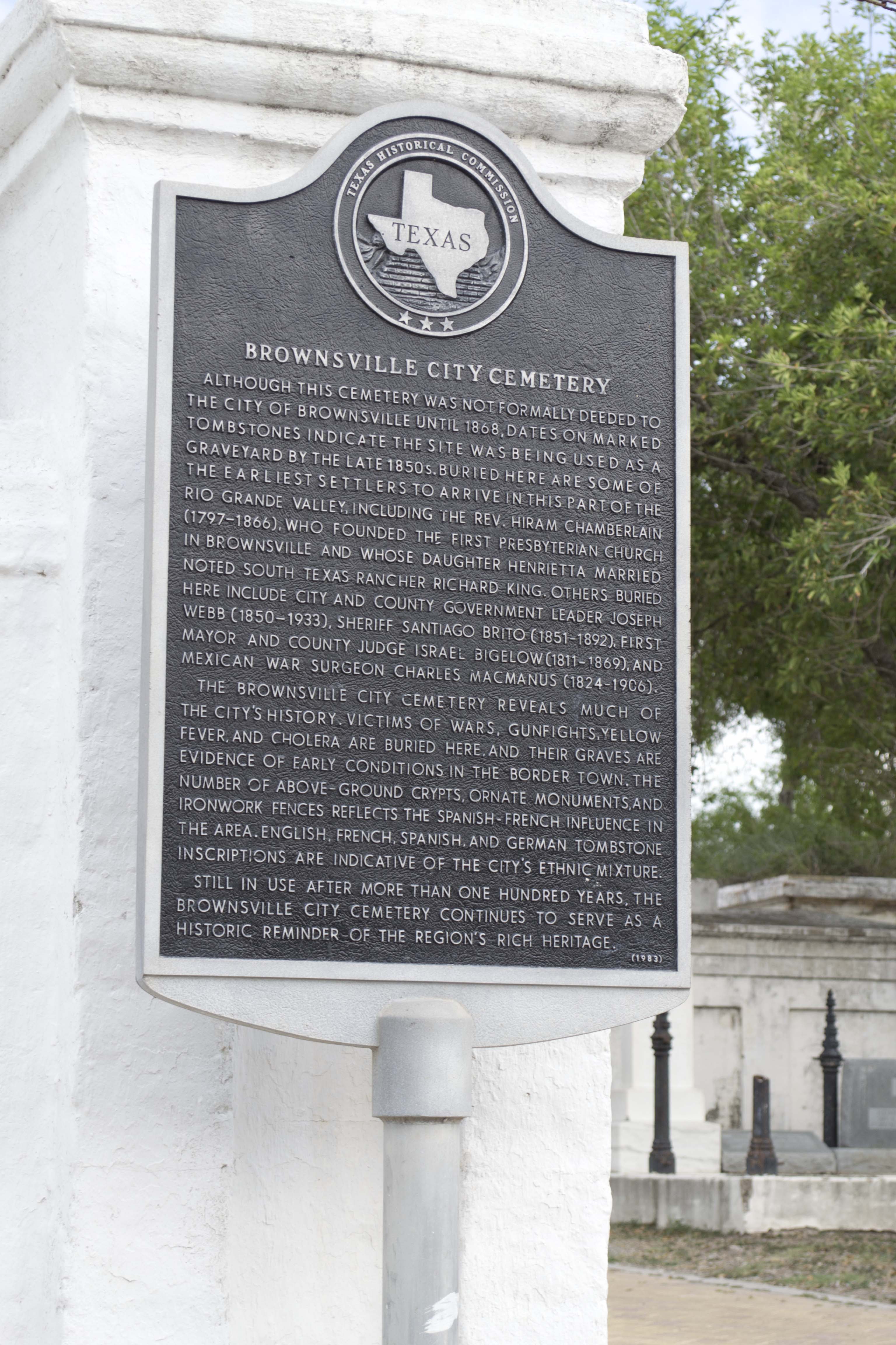
25°54′23″N 97°30′22″W / 25.90625°N 97.506042°WBrownsville 4 Brownsville City Cemetery and Hebrew Cemetery 
March 31, 2010 Bound by E. 5th St., Madison St., E 2nd St., and Town Resaca
25°54′34″N 97°30′00″W / 25.909514°N 97.5°WBrownsville 5 Old Brulay Plantation October 10, 1975 East of Brownsville off of TX 4
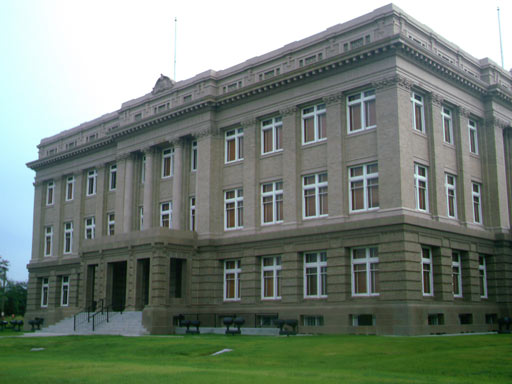
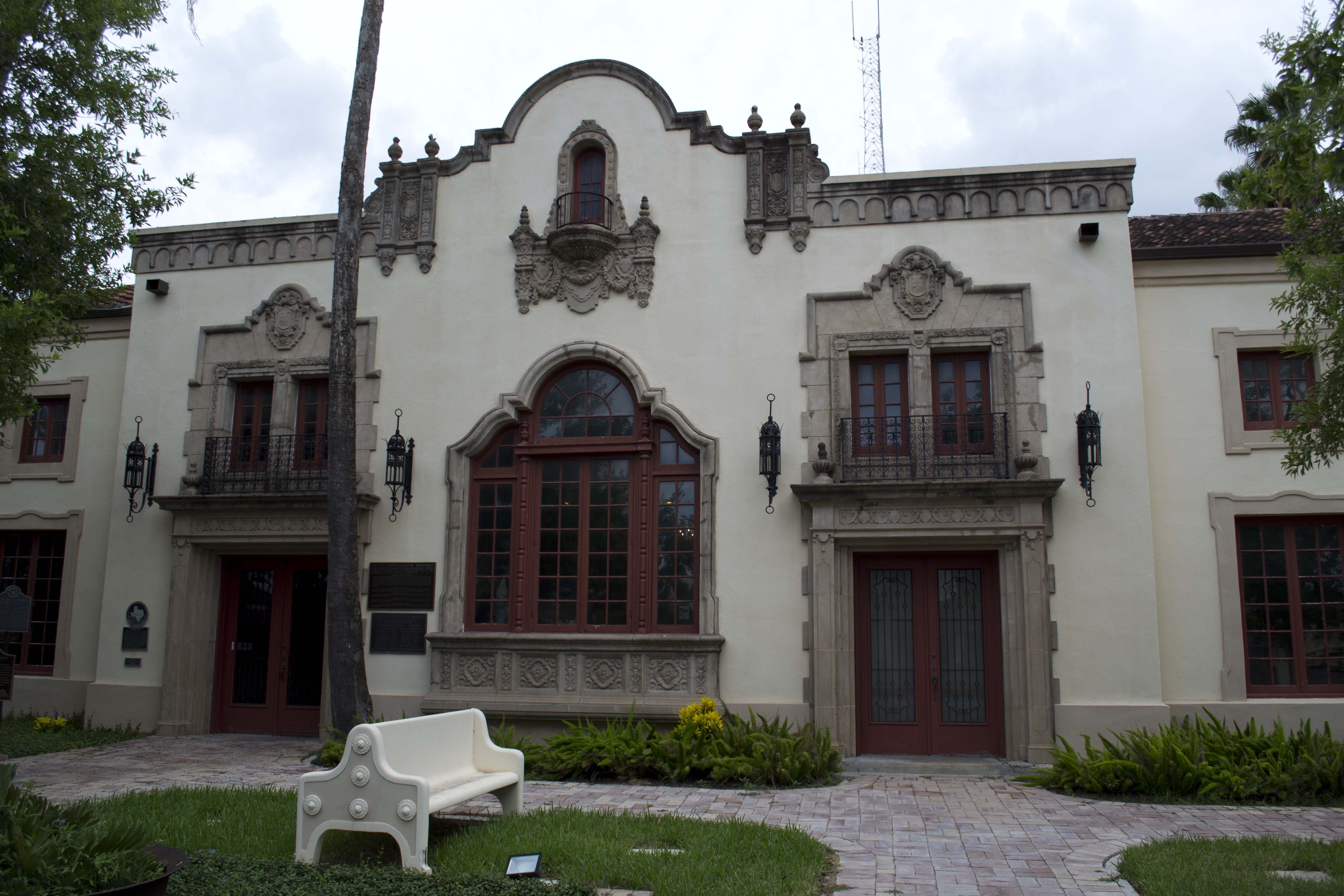
25°51′16″N 97°24′01″W / 25.854531°N 97.400289°WBrownsville 6 Cameron County Courthouse 
September 27, 1980 1150 E Madison St.
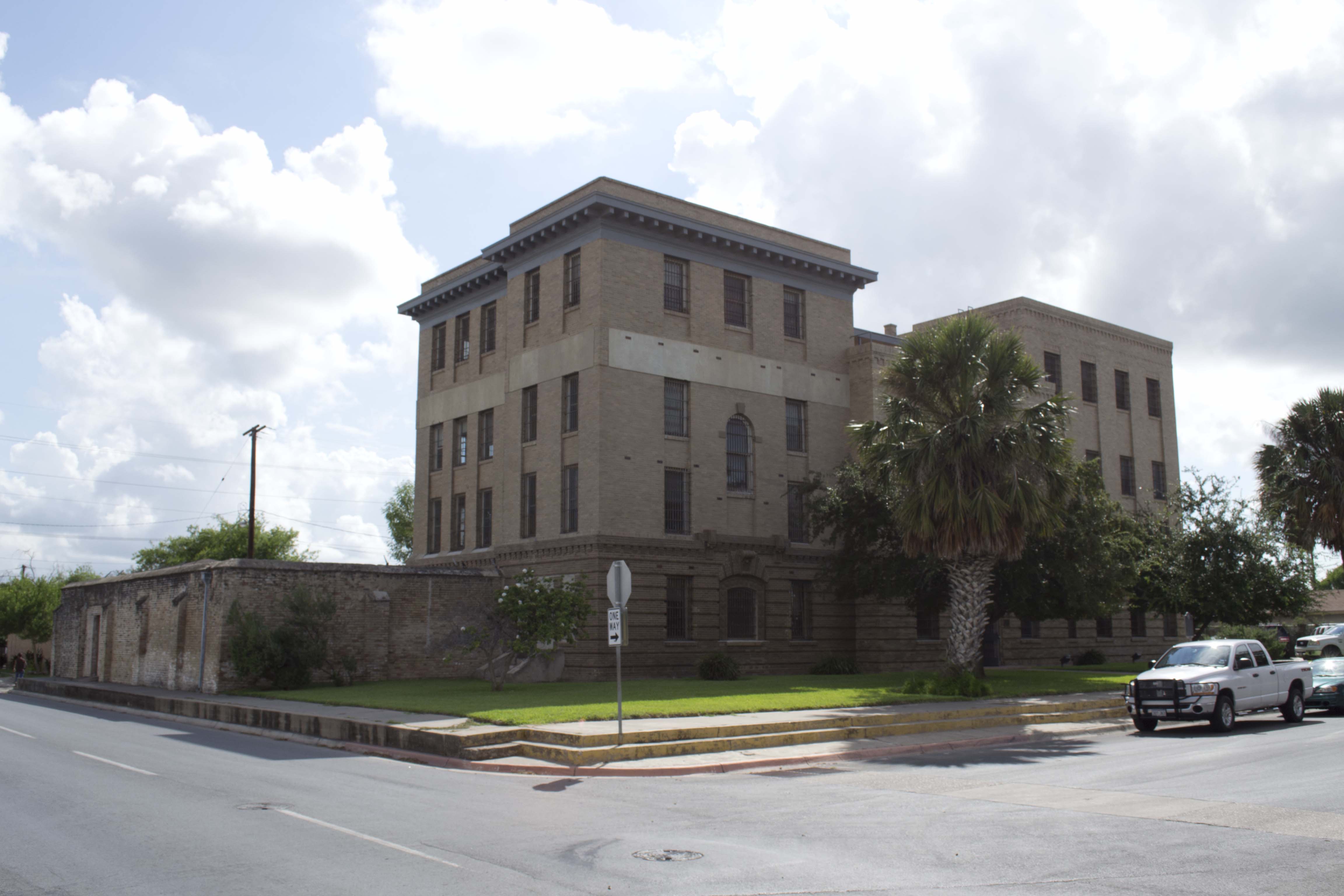
25°54′15″N 97°29′43″W / 25.904167°N 97.495347°WBrownsville 7 Old Cameron County Jail 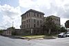
January 24, 1995 1201 E Van Buren
25°54′19″N 97°29′34″W / 25.905278°N 97.492847°WBrownsville 8 Augustine Celaya House 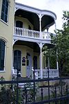
April 11, 1986 504 E St. Francis St.
25°54′13″N 97°30′19″W / 25.903681°N 97.505347°WBrownsville 9 Celaya-Creager House 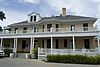
May 5, 1988 441 E Washington St.
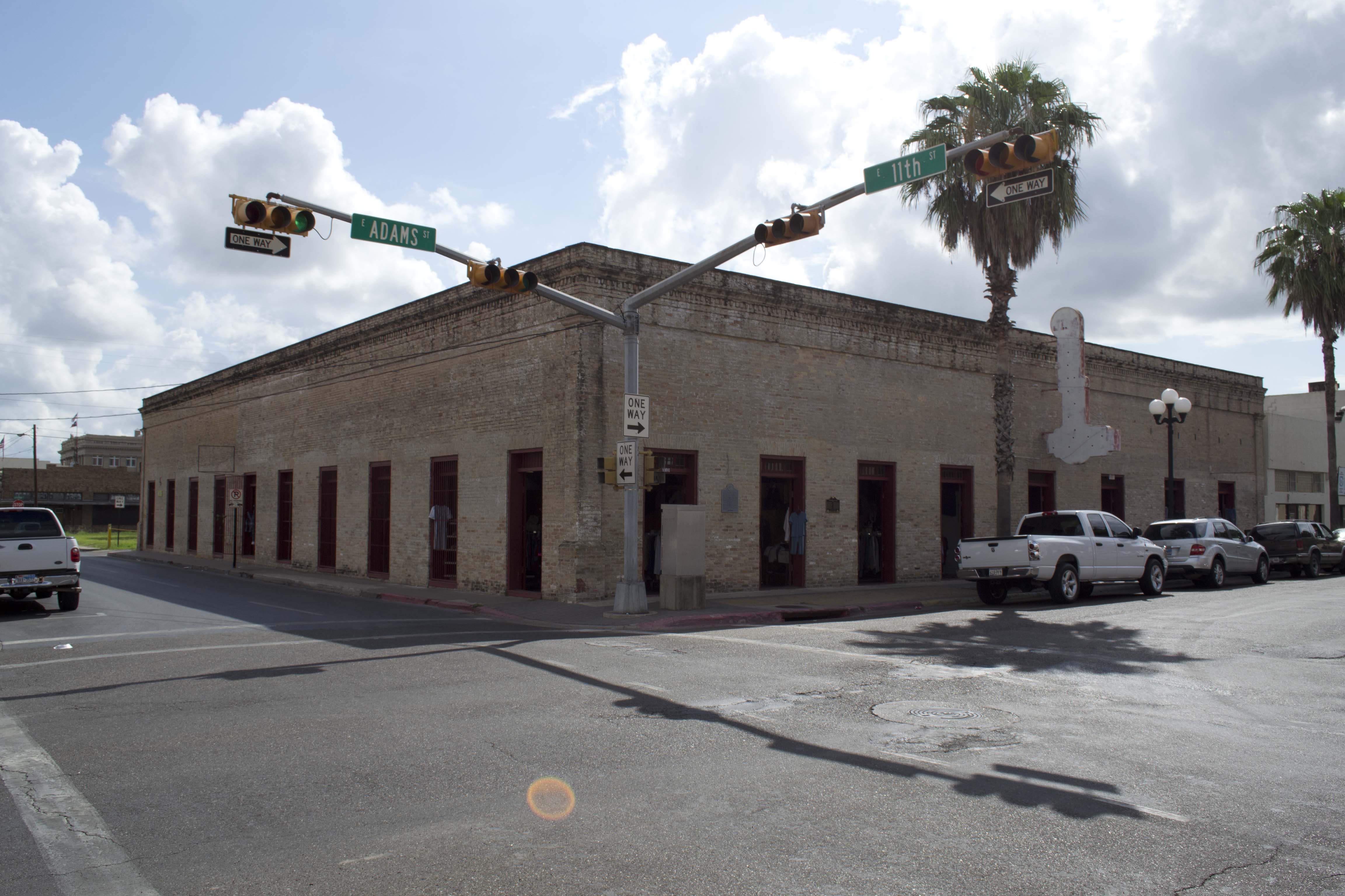
25°54′25″N 97°30′09″W / 25.906806°N 97.5025°WBrownsville 10 Miguel Fernandez Hide Yard 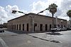
October 1, 1990 1101-1121 E Adams St.
25°54′11″N 97°29′51″W / 25.902947°N 97.497414°WBrownsville also known as El Aleman 11 Fort Brown 
October 15, 1966 S edge of Brownsville off of International Blvd.
25°53′50″N 97°29′26″W / 25.897222°N 97.490556°WBrownsville 12 Garcia Pasture Site February 23, 1972 Restricted
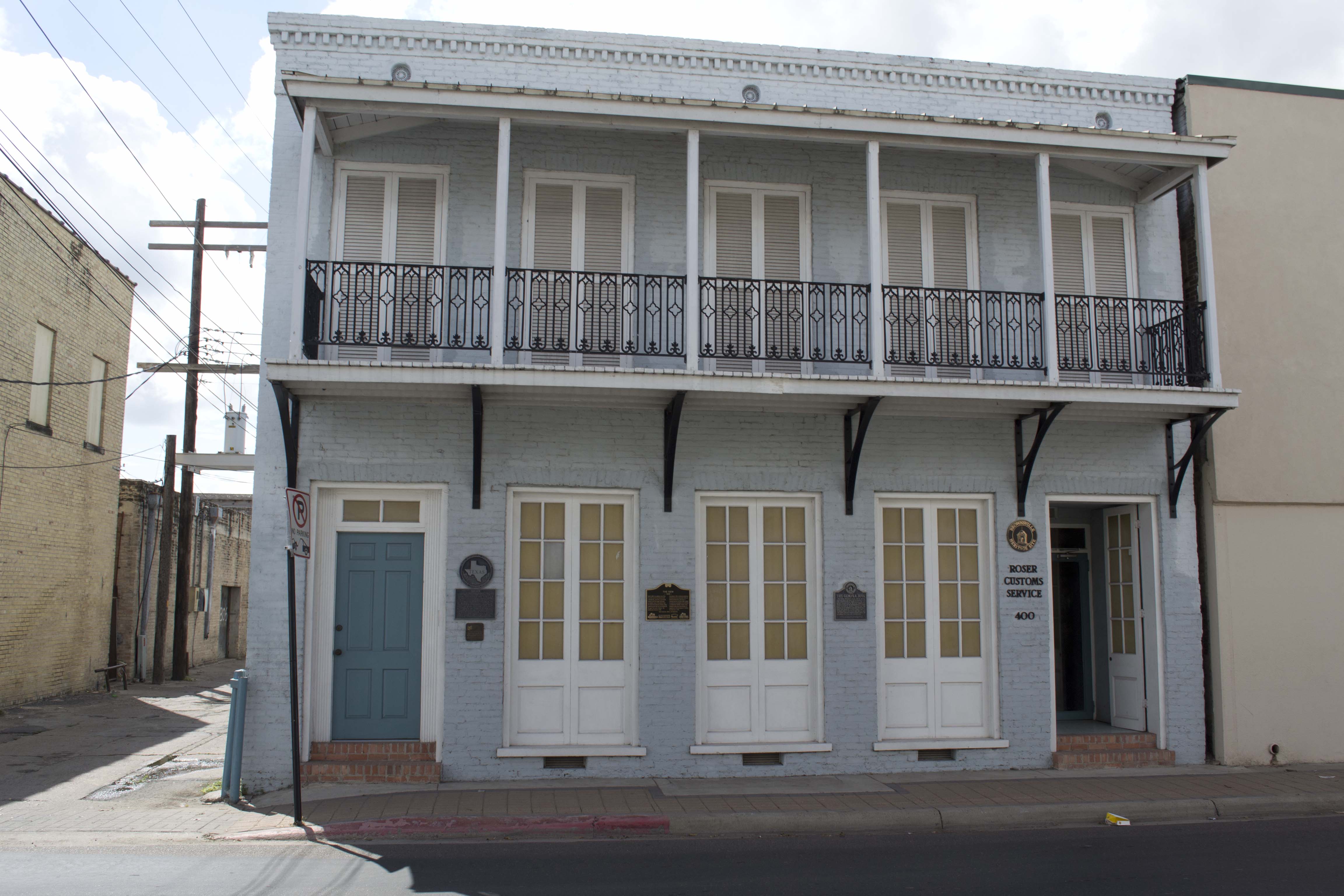
Port Isabel 13 The Gem 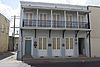
June 28, 1991 400 E 13th St.
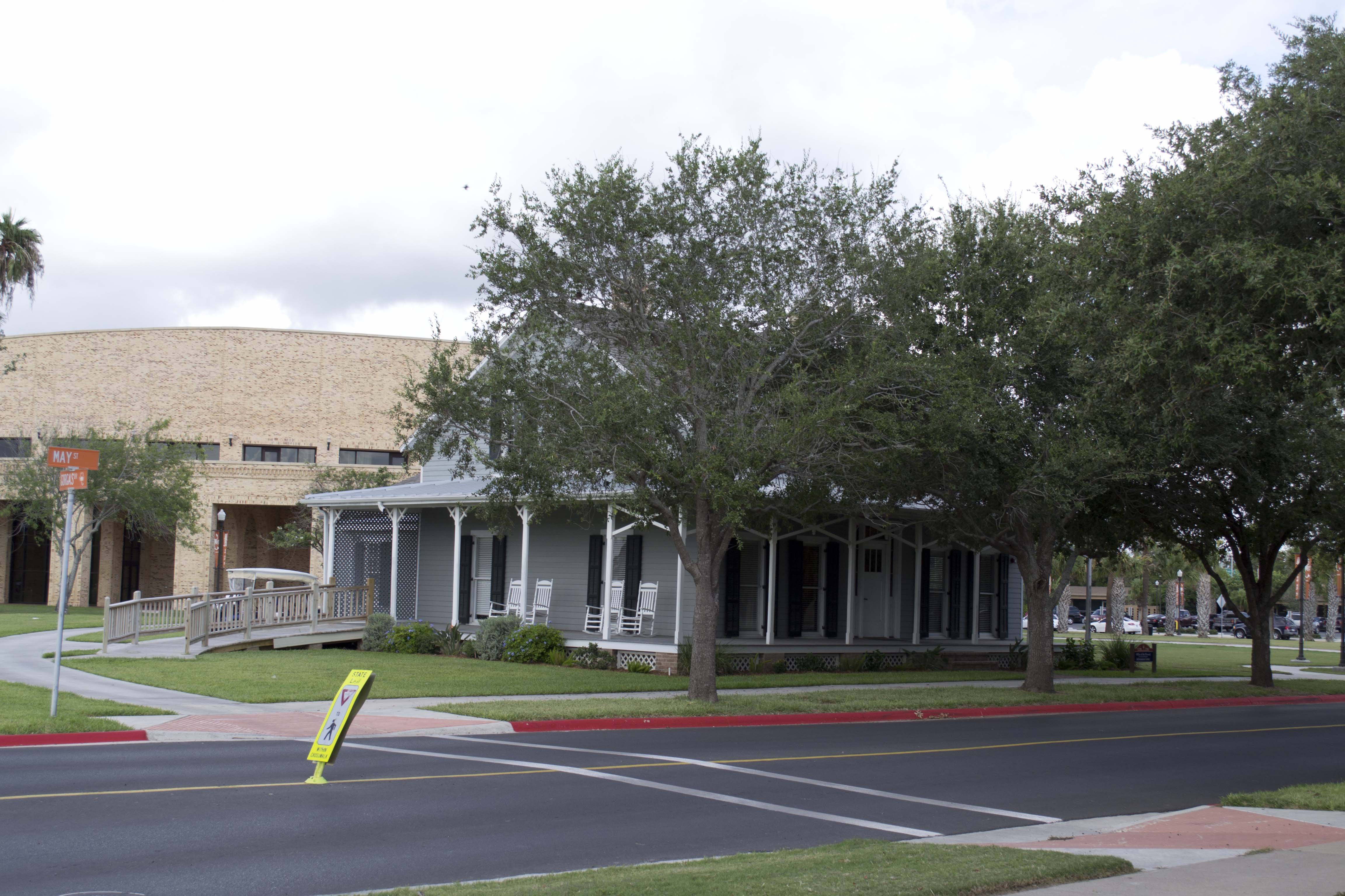
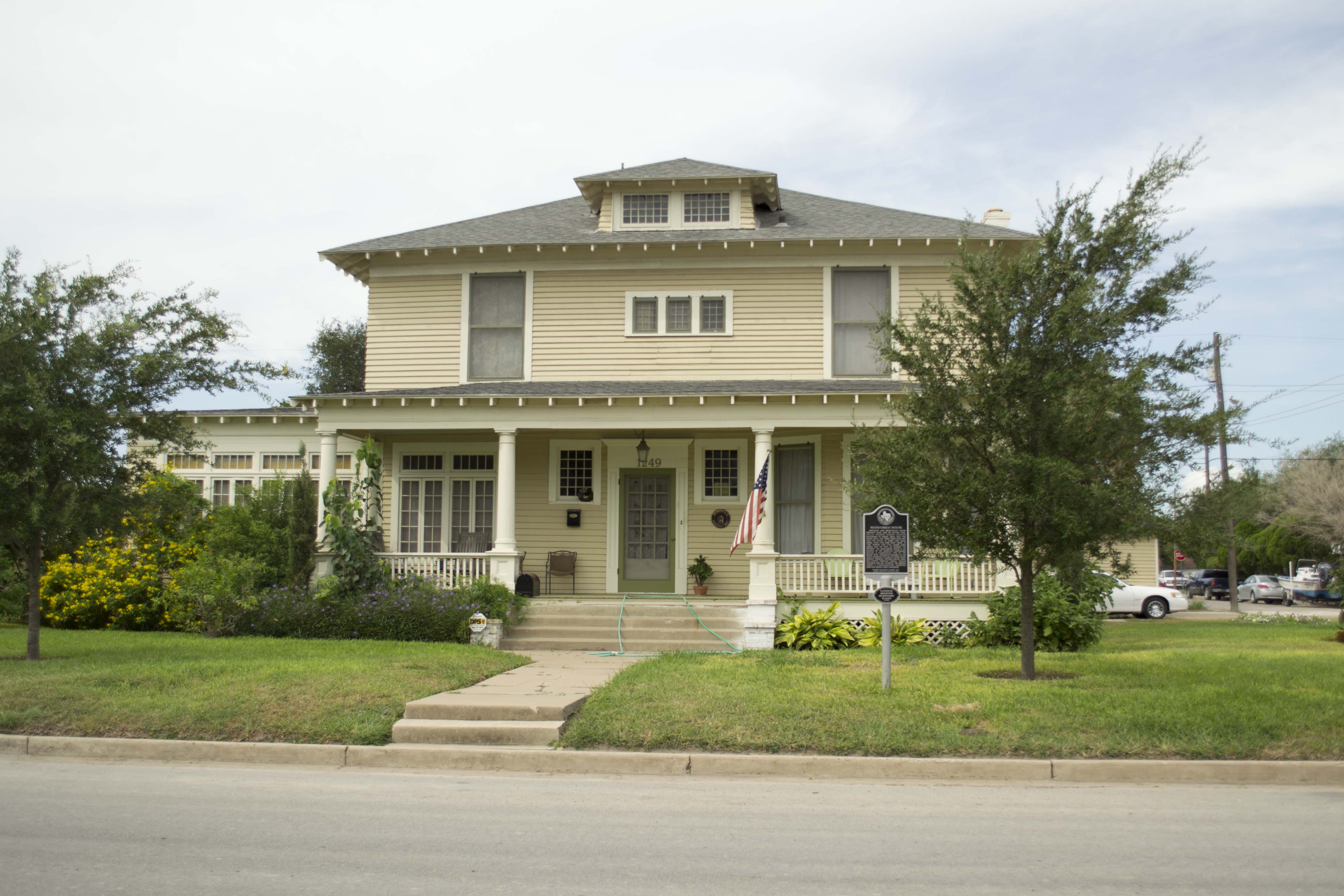
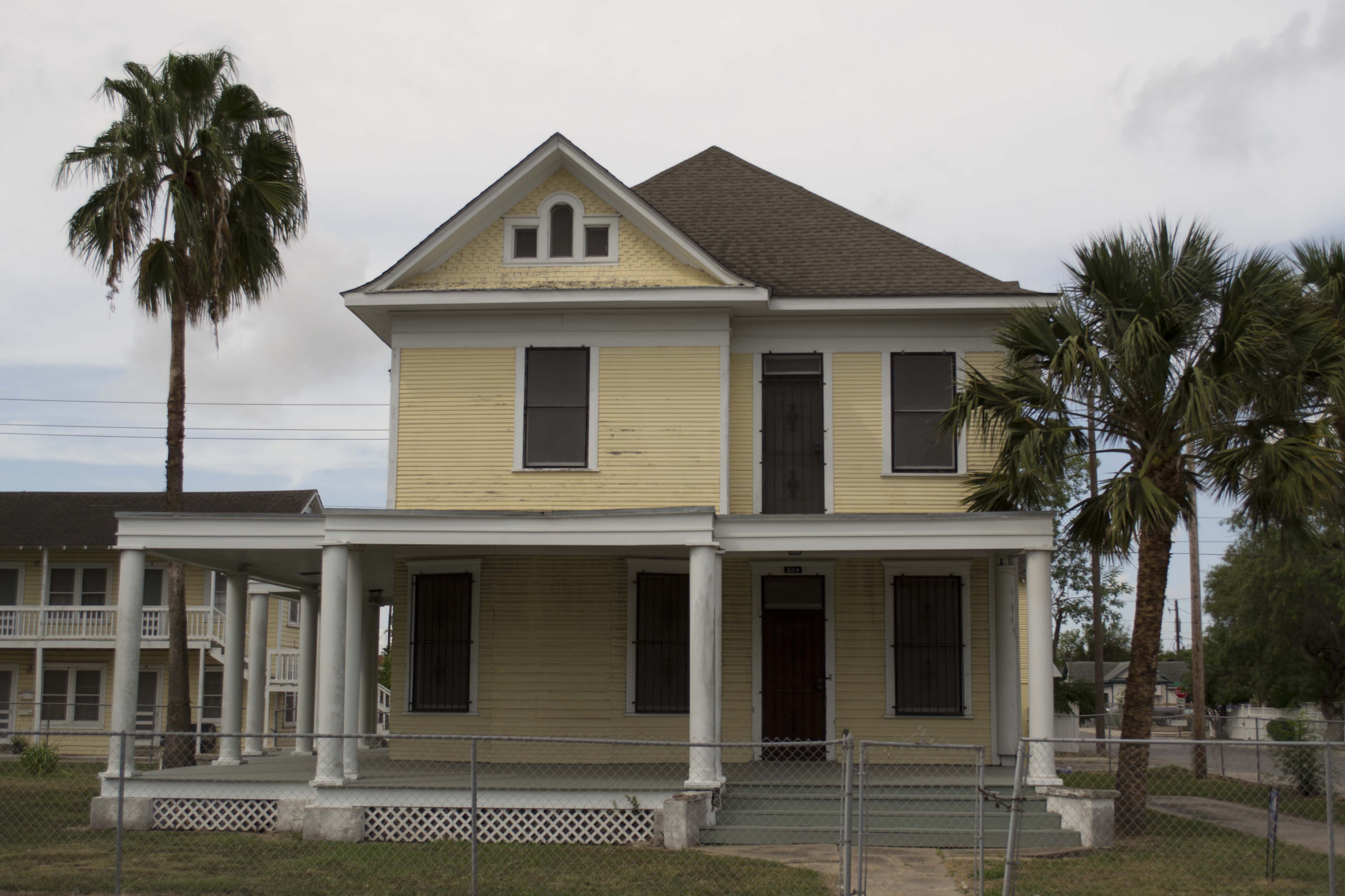
25°53′09″N 97°29′52″W / 25.885972°N 97.497639°WBrownsville 14 Hicks-Gregg House 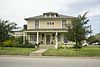
July 1, 2009 1249 W. Washington
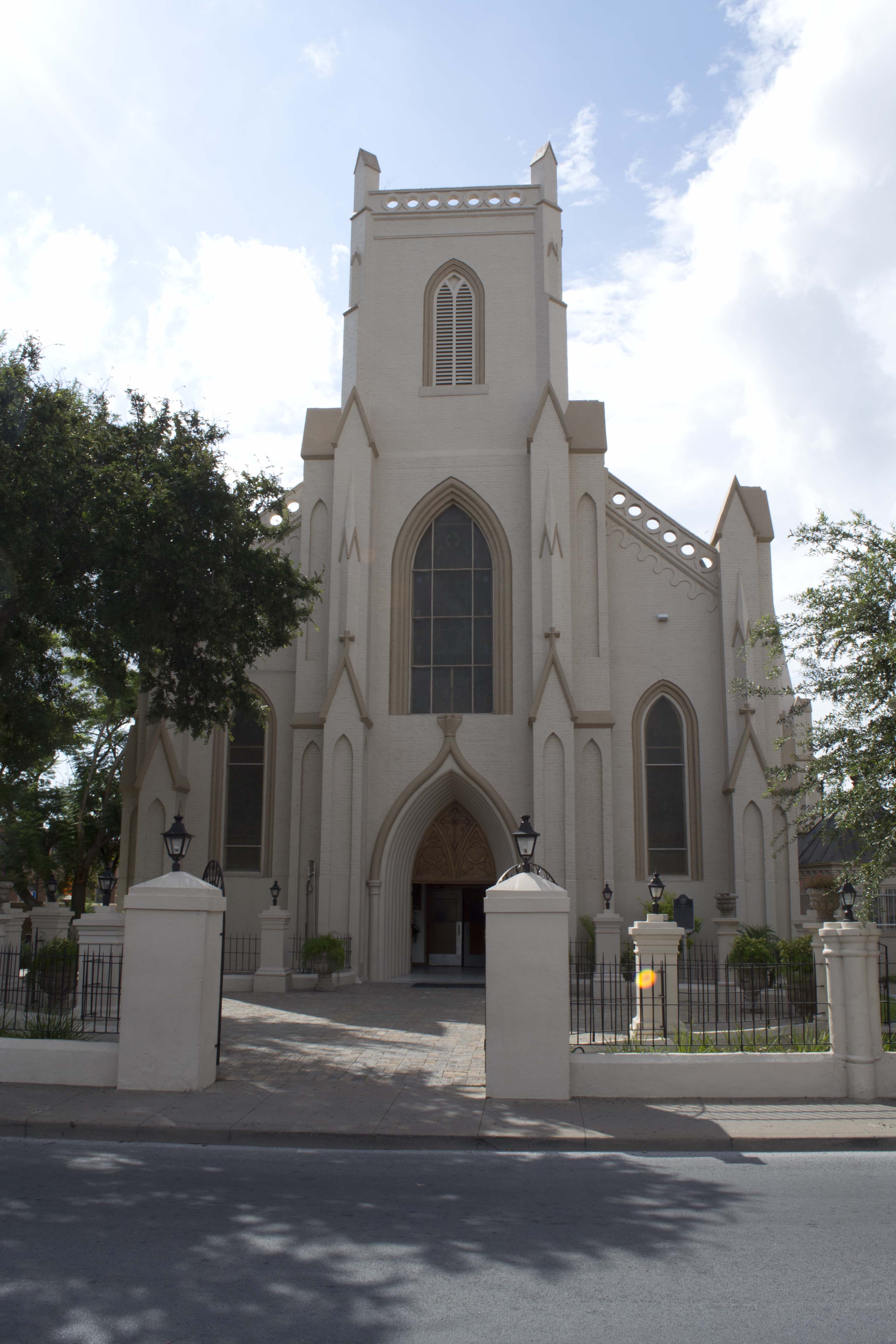
25°55′06″N 97°30′56″W / 25.918375°N 97.515536°WBrownsville 15 Immaculate Conception Church 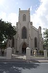
March 26, 1980 1218 E Jefferson St.
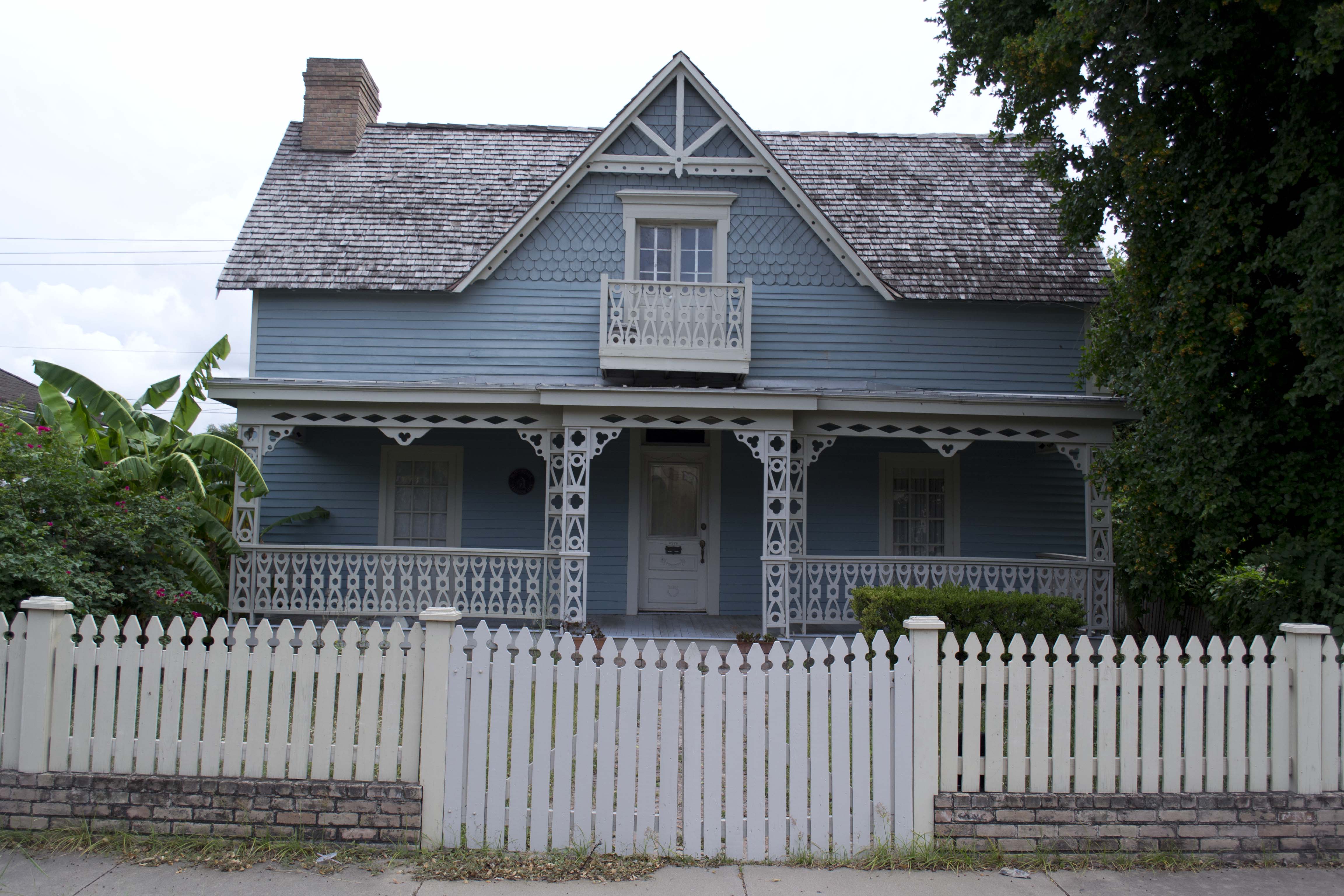
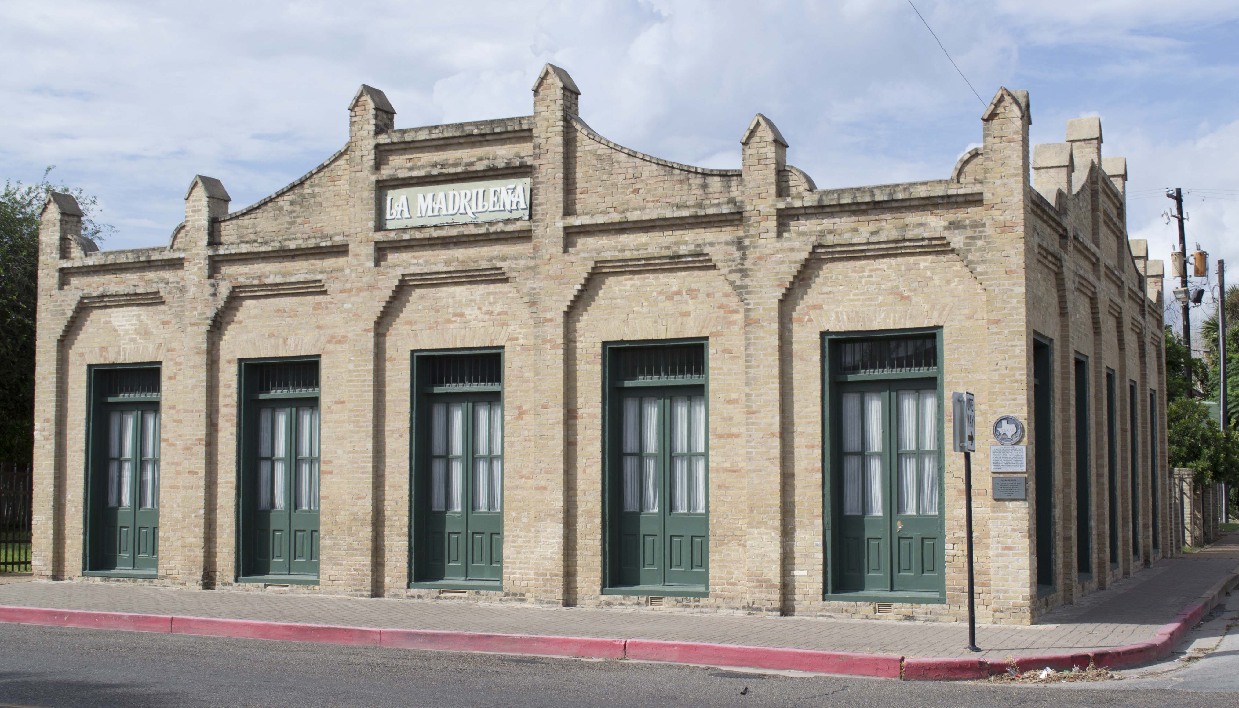
25°54′09″N 97°29′45″W / 25.9025°N 97.495972°WBrownsville 16 La Madrilena 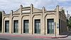
November 17, 1988 1002 E Madison
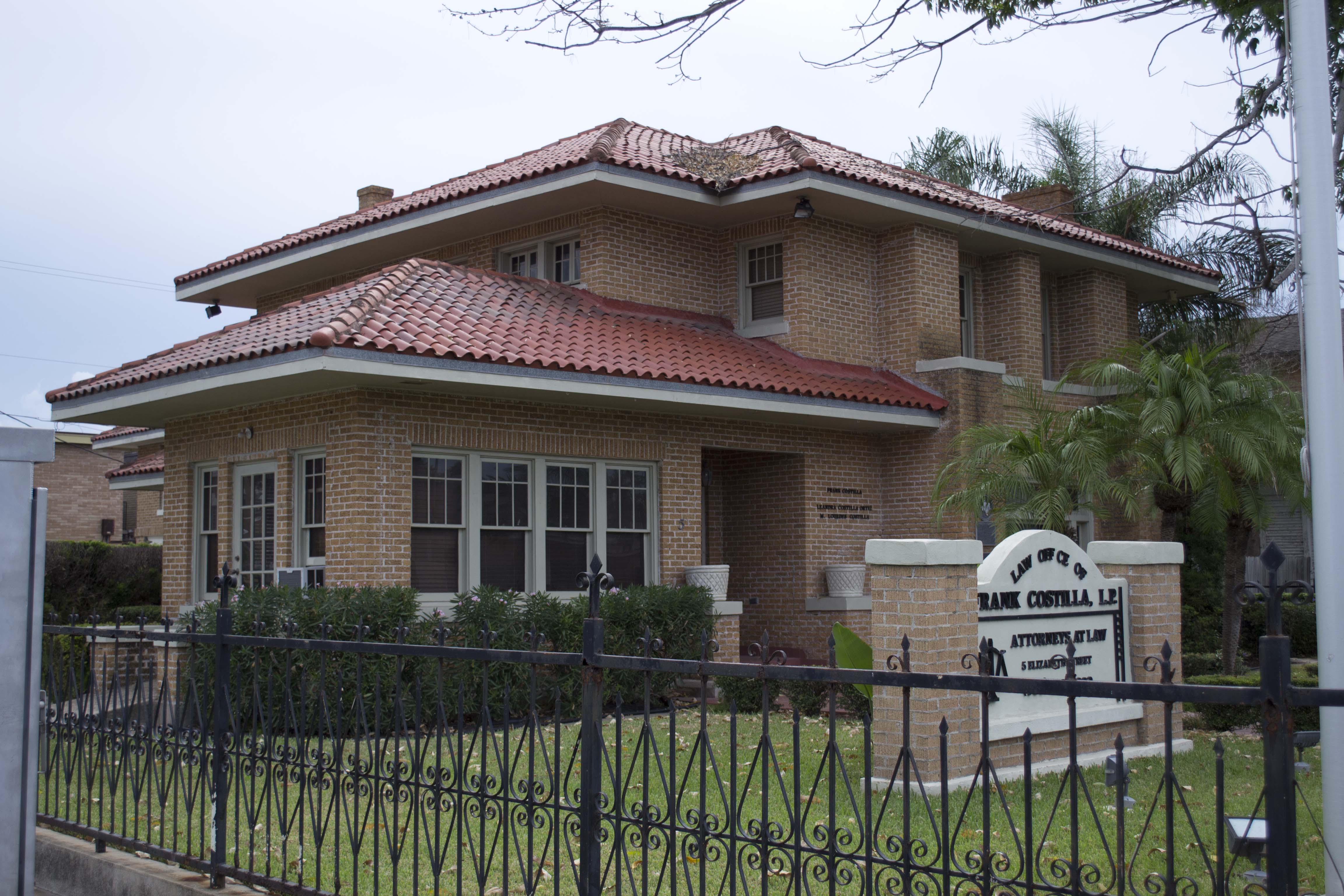
25°54′17″N 97°29′49″W / 25.904722°N 97.496806°WBrownsville 17 Manautou House 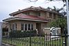
July 14, 1983 5 E Elizabeth St.
25°54′33″N 97°30′23″W / 25.909236°N 97.506458°WBrownsville 18 Morris-Browne House 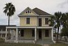
October 25, 2006 204 E Levee St.
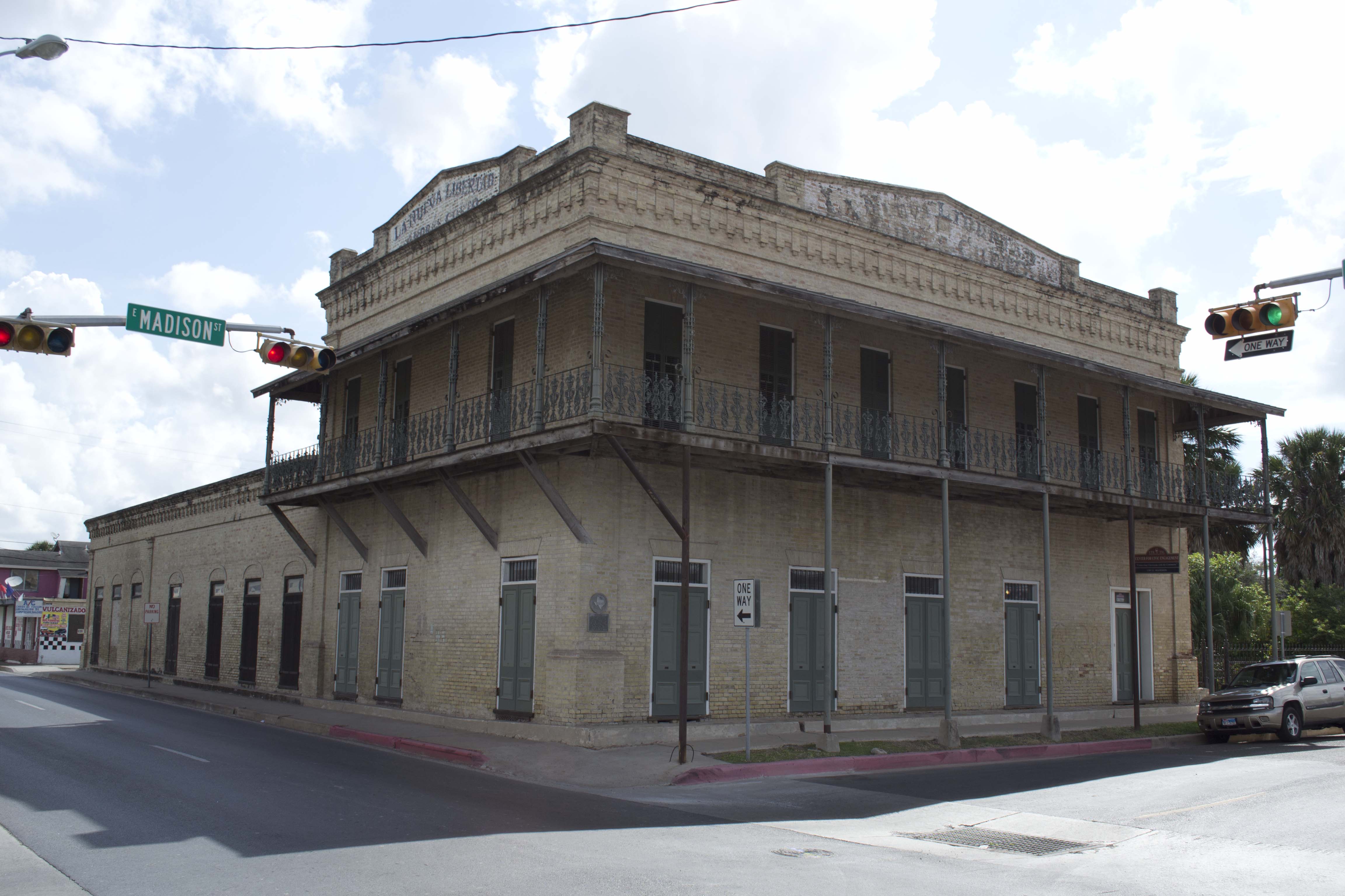
25°54′24″N 97°30′22″W / 25.906667°N 97.506111°WBrownsville 19 La Nueva Libertad 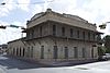
April 11, 1986 1301 E Madison
25°54′10″N 97°29′40″W / 25.902778°N 97.494375°WBrownsville also known as the Cueto Building 20 Palmito Ranch Battlefield October 15, 1996 Between TX 4 and the Rio Grande, 12 mi. E of Brownsville
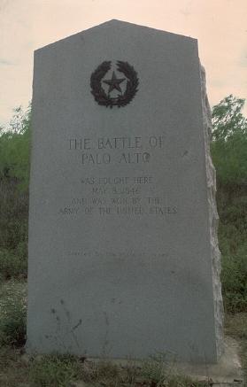
25°56′48″N 97°17′07″W / 25.946667°N 97.285278°WBrownsville 21 Palo Alto Battlefield National Historical Park 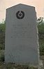
October 15, 1966 6.3 miles N of Brownsville at intersection of FM 1847 and FM 511
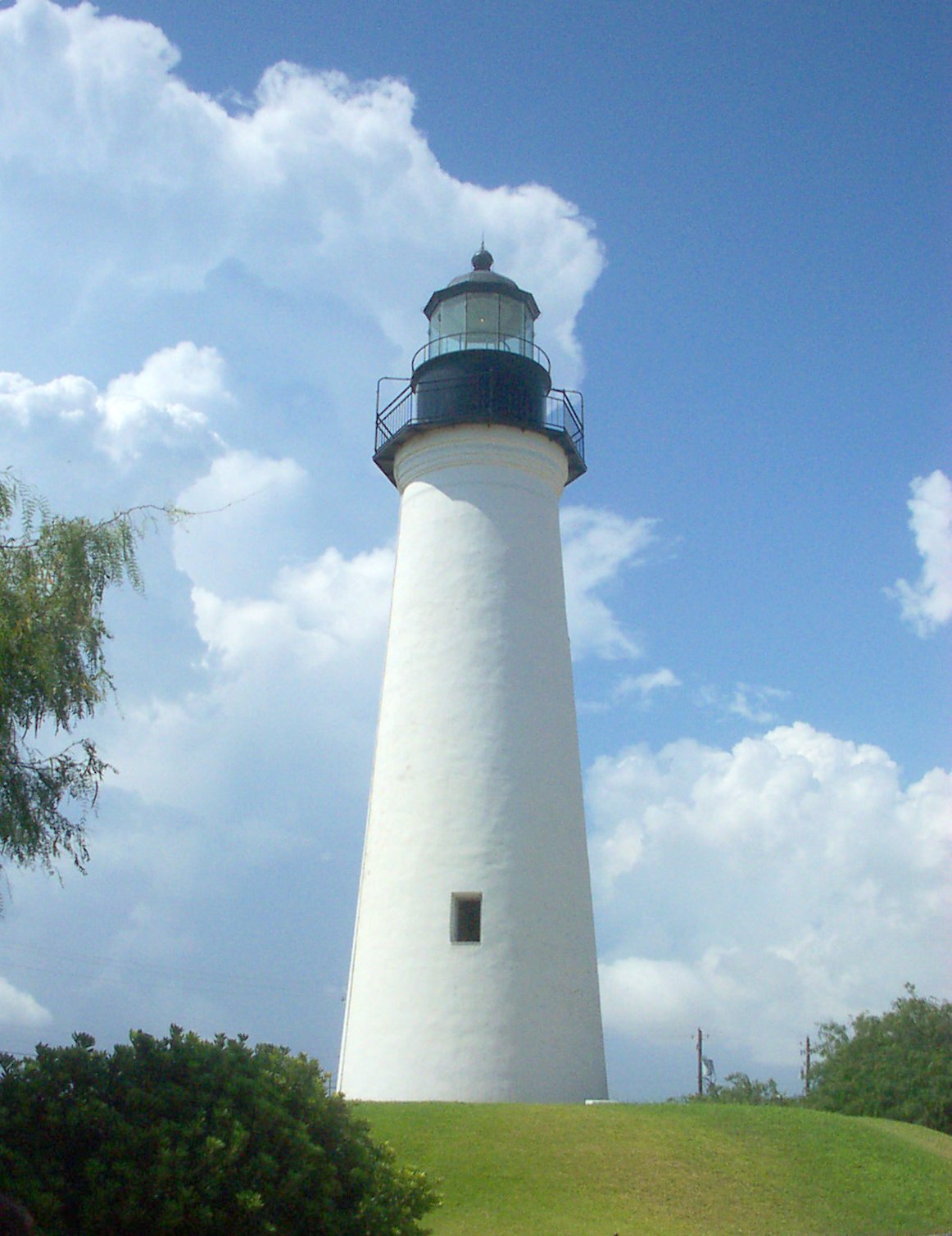
26°1′4.39″N 97°28′50.22″W / 26.0178861°N 97.4806167°WBrownsville 22 Point Isabel Lighthouse 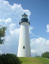
April 30, 1976 Corner of TX 100 and Garcia St.
26°04′39″N 97°12′27″W / 26.077633°N 97.207583°WPort Isabel 23 Resaca De La Palma Battlefield April 11, 1986 North of intersection of Paredes Line Rd and Price Rd.
25°56′15″N 97°29′10″W / 25.9375°N 97.486111°WBrownsville Now a portion of the Palo Alto Battlefield National Historical Park 24 Southern Pacific Railroad Passenger Depot 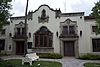
November 17, 1978 601 E Madison St.
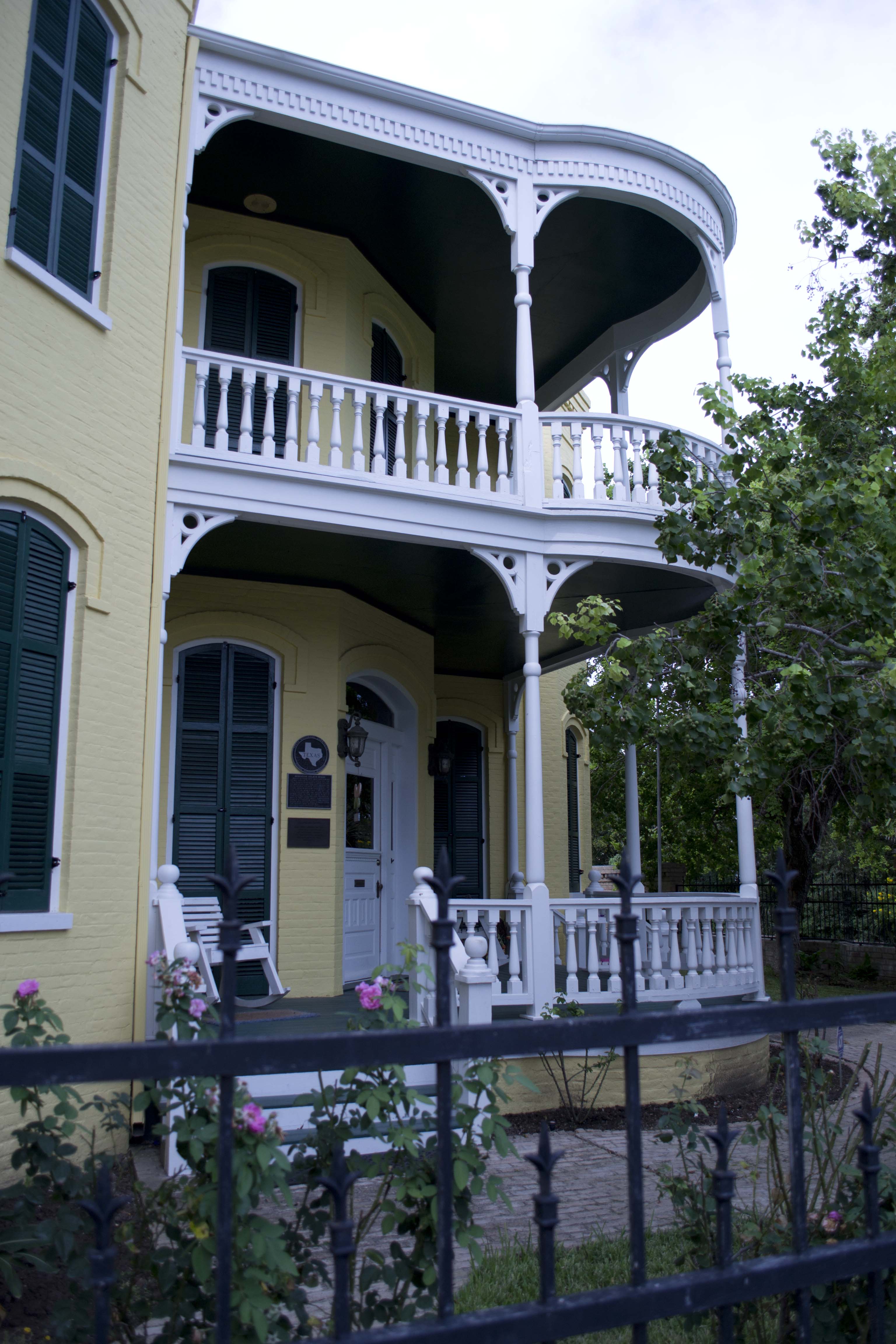
25°54′27″N 97°29′57″W / 25.9075°N 97.499236°WBrownsville 25 Charles Stillman House 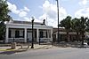
November 19, 1979 1305 E Washington St.
25°54′03″N 97°29′47″W / 25.900833°N 97.496319°WBrownsville See also
- Registered Historic Places in Texas, Counties A-C
References
- ^ The latitude and longitude information provided in this table was derived originally from the National Register Information System, which has been found to be fairly accurate for about 99% of listings. For about 1% of NRIS original coordinates, experience has shown that one or both coordinates are typos or otherwise extremely far off; some corrections may have been made. A more subtle problem causes many locations to be off by up to 150 yards, depending on location in the country: most NRIS coordinates were derived from tracing out latitude and longitudes off of USGS topographical quadrant maps created under the North American Datum of 1927, which differs from the current, highly accurate WGS84 GPS system used by Google maps. Chicago is about right, but NRIS longitudes in Washington are higher by about 4.5 seconds, and are lower by about 2.0 seconds in Maine. Latitudes differ by about 1.0 second in Florida. Some locations in this table may have been corrected to current GPS standards.
- ^ "National Register of Historic Places: Weekly List Actions". National Park Service, United States Department of the Interior. Retrieved on November 10, 2011.
- ^ Numbers represent an ordering by significant words. Various colorings, defined here, differentiate National Historic Landmark sites and National Register of Historic Places Districts from other NRHP buildings, structures, sites or objects.
- ^ "National Register Information System". National Register of Historic Places. National Park Service. . http://nrhp.focus.nps.gov/natreg/docs/All_Data.html.
U.S. National Register of Historic Places Topics Lists by states Alabama • Alaska • Arizona • Arkansas • California • Colorado • Connecticut • Delaware • Florida • Georgia • Hawaii • Idaho • Illinois • Indiana • Iowa • Kansas • Kentucky • Louisiana • Maine • Maryland • Massachusetts • Michigan • Minnesota • Mississippi • Missouri • Montana • Nebraska • Nevada • New Hampshire • New Jersey • New Mexico • New York • North Carolina • North Dakota • Ohio • Oklahoma • Oregon • Pennsylvania • Rhode Island • South Carolina • South Dakota • Tennessee • Texas • Utah • Vermont • Virginia • Washington • West Virginia • Wisconsin • WyomingLists by territories Lists by associated states Other Categories:- Cameron County, Texas
- National Register of Historic Places in Texas
- Buildings and structures in Cameron County, Texas
-
Wikimedia Foundation. 2010.