- National Register of Historic Places listings in Coconino County, Arizona
-
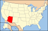
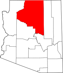 Location of Coconino County in Arizona
This is a list of the National Register of Historic Places listings in Coconino County, Arizona.
It is intended to be a complete list of the properties and districts on the National Register of Historic Places in Coconino County, Arizona, United States. The locations of National Register properties and districts for which the latitude and longitude coordinates are included below, may be seen in a Google map.[1]
There are 152 properties and districts listed on the National Register in the county, including 10 that are also National Historic Landmarks.
-
- This National Park Service list is complete through NPS recent listings posted November 10, 2011.[2]
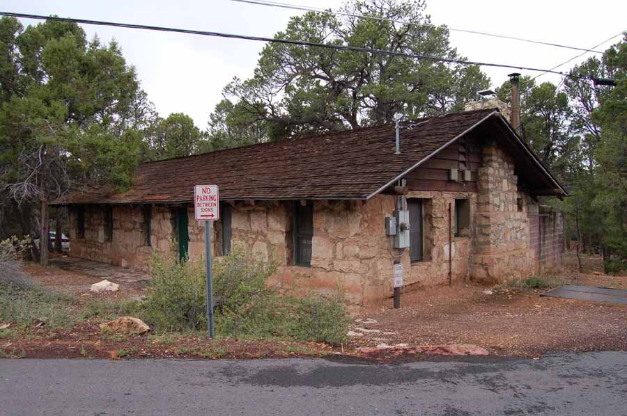
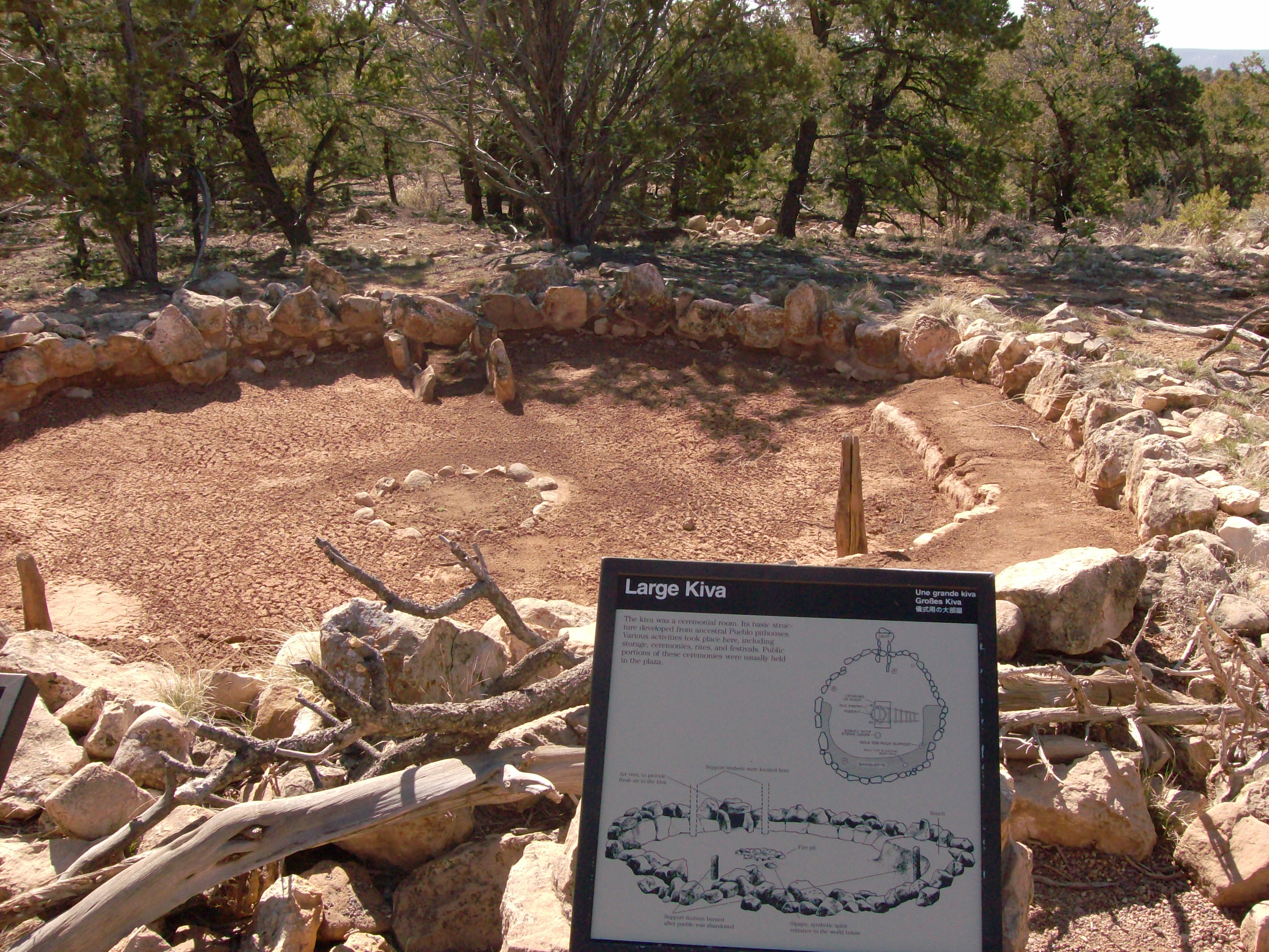
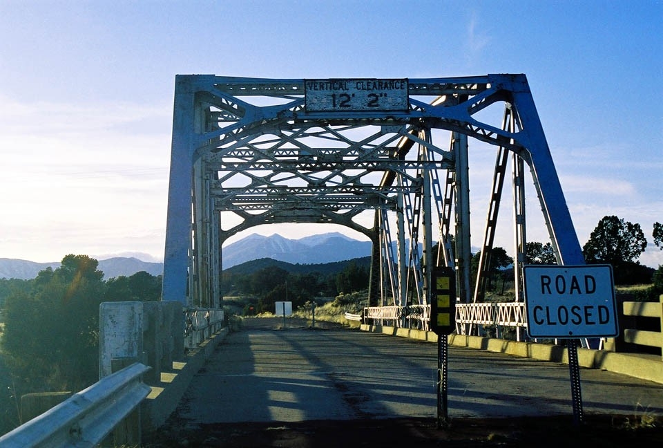
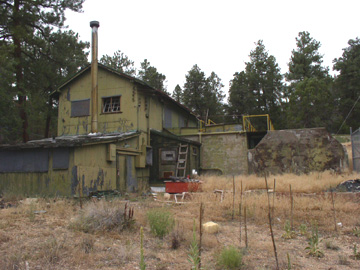
Current listings
[3] Landmark name Image Date listed Location City or town Summary 1 Abandoned Route 66, Ash Fork Hill May 19, 1989 North of Interstate 40 between Ash Fork and Williams
35°13′10″N 112°21′39″W / 35.219444°N 112.360833°WAsh Fork 2 Abandoned Route 66, Parks (1921) May 19, 1989 West of Parks
35°15′36″N 111°57′19″W / 35.26°N 111.955278°WParks 3 Abandoned Route 66, Parks (1931) May 19, 1989 East of Parks
35°15′35″N 111°56′43″W / 35.259722°N 111.945278°WParks 4 Anderson Mesa Incline February 24, 1995 Address Restricted Flagstaff 5 Archeological Site No. AR-03-04-03-810 February 24, 1995 Address Restricted Flagstaff 6 Archeological Site No. AR-03-04-03-811 February 24, 1995 Address Restricted Flagstaff 7 Archeological Site No. AR-03-04-03-812 February 24, 1995 Address Restricted Flagstaff 8 Archeological Site No. AR-03-04-05-414 February 24, 1995 Address Restricted Flagstaff 9 Archeological Site. No. AR-03-04-05-440 February 24, 1995 Address Restricted Flagstaff 10 Arizona Lumber and Timber Company Office April 30, 1986 1 Riordan Rd.
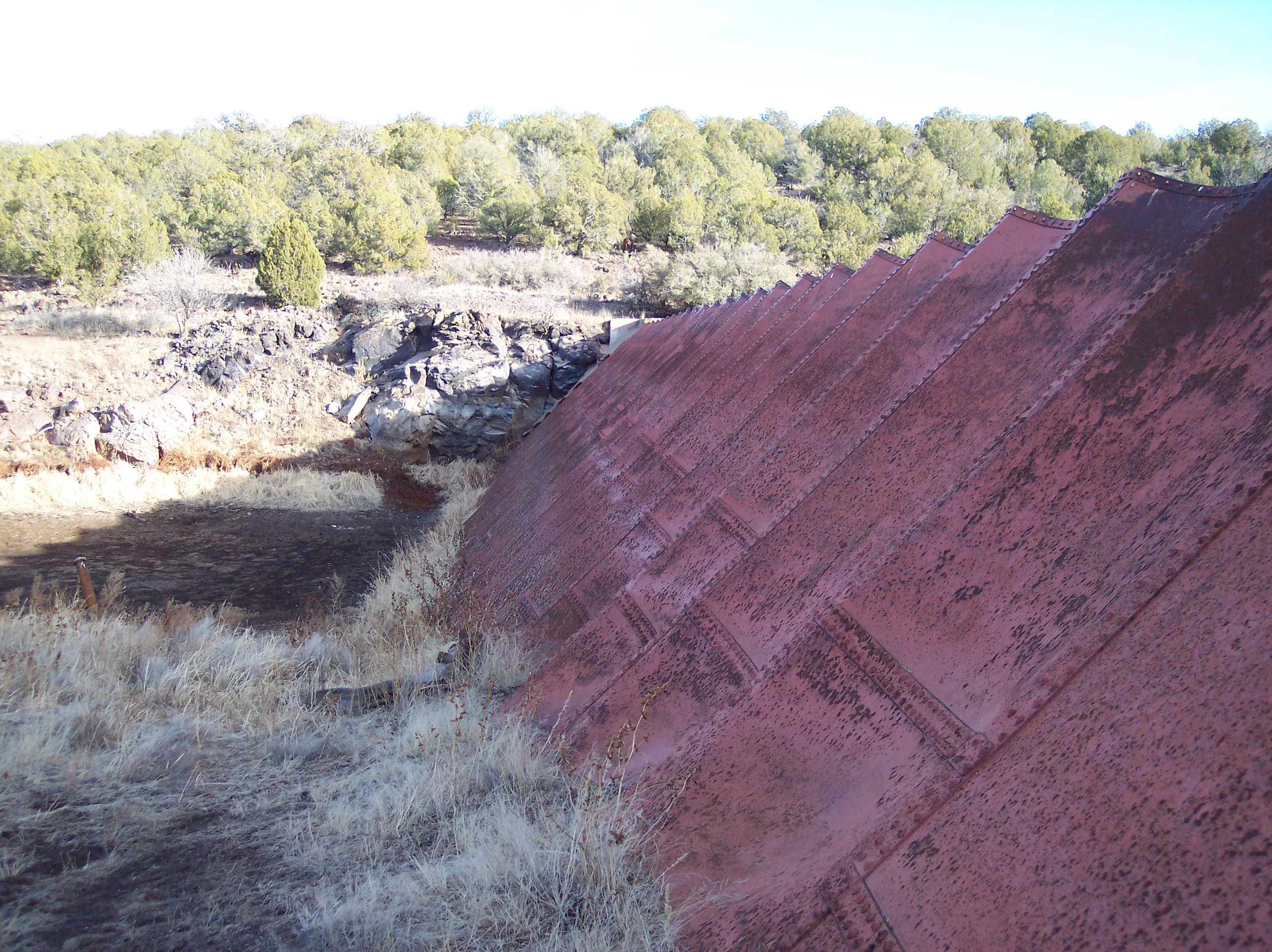
35°11′29″N 111°40′00″W / 35.191389°N 111.666667°WFlagstaff 11 Ash Fork Steel Dam 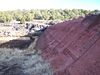
July 30, 1976 East of Ash Fork off Old U.S. Route 66
35°13′31″N 112°24′54″W / 35.225278°N 112.415°WAsh Fork 12 Ashurst House November 29, 1984 417-421 W. Aspen Ave.
35°11′59″N 111°39′12″W / 35.199722°N 111.653333°WFlagstaff 13 Bank Hotel December 7, 1977 Santa Fe and Leroux St.
35°11′52″N 111°38′56″W / 35.197778°N 111.648889°WFlagstaff 14 Barney Flat Historic Railroad Logging Landscape 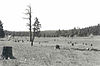
February 24, 1995 Perkinsville Rd., south of Williams in the Kaibab National Forest
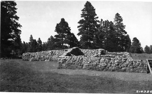
35°09′26″N 112°08′52″W / 35.157222°N 112.147778°WWilliams Only stump field in the NRHP 15 Big Springs Lookout Tower January 28, 1988 Kaibab National Forest
36°35′36″N 112°20′03″W / 36.593333°N 112.334167°WBig Springs 16 Big Springs Ranger Station 
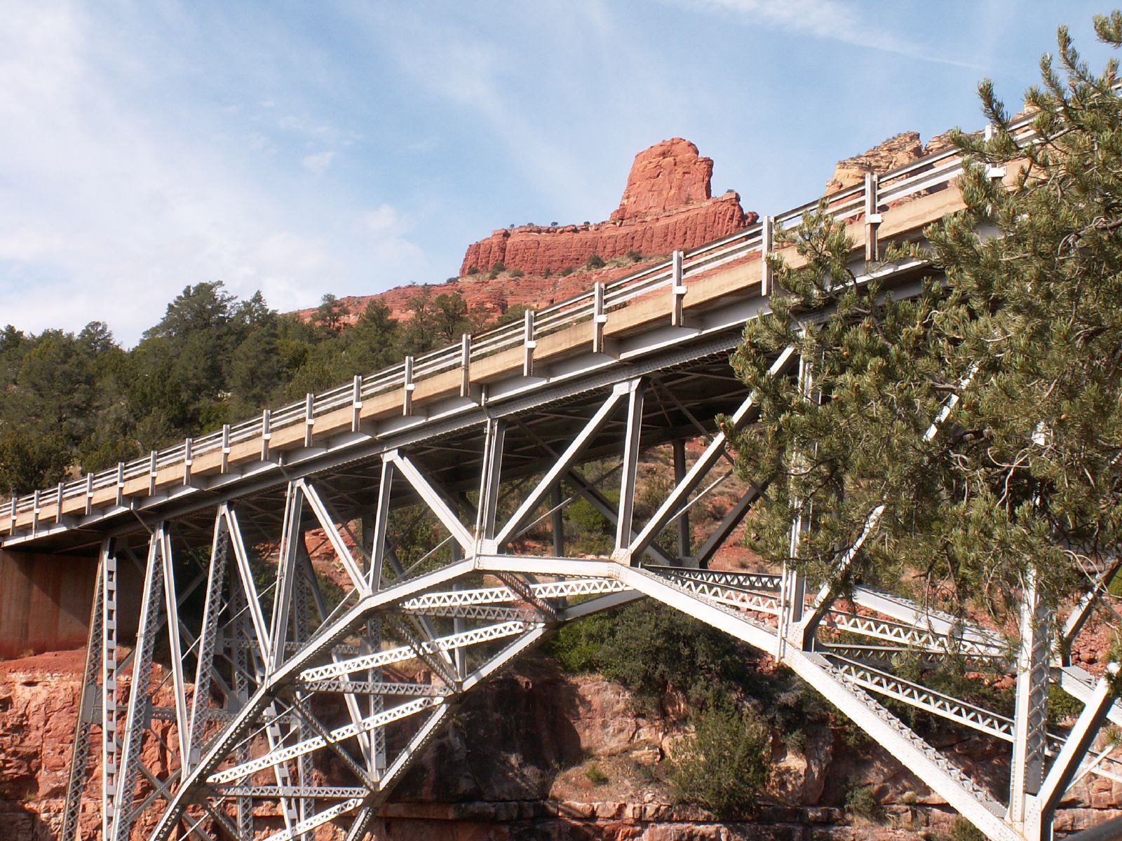
June 10, 1993 Along Ryan Rd. in the Kaibab National Forest
36°36′12″N 112°20′59″W / 36.603333°N 112.349722°WBig Springs 17 Brannen-Devine House April 30, 1986 209 E. Cottage
35°11′40″N 111°38′48″W / 35.194444°N 111.646667°WFlagstaff 18 Brow Monument July 13, 1987 N. Kaibab Ranger District in the Kaibab National Forest
36°35′27″N 112°23′54″W / 36.590833°N 112.398333°WBig Springs 19 Buck Mountain Lookout Tower January 28, 1988 Coconino National Forest
34°40′01″N 111°24′53″W / 34.666944°N 111.414722°WBuck Mountain 20 Bullethead November 21, 1992 Address Restricted Fredonia 21 C&M Garage April 30, 1986 204 S. Milton Rd.
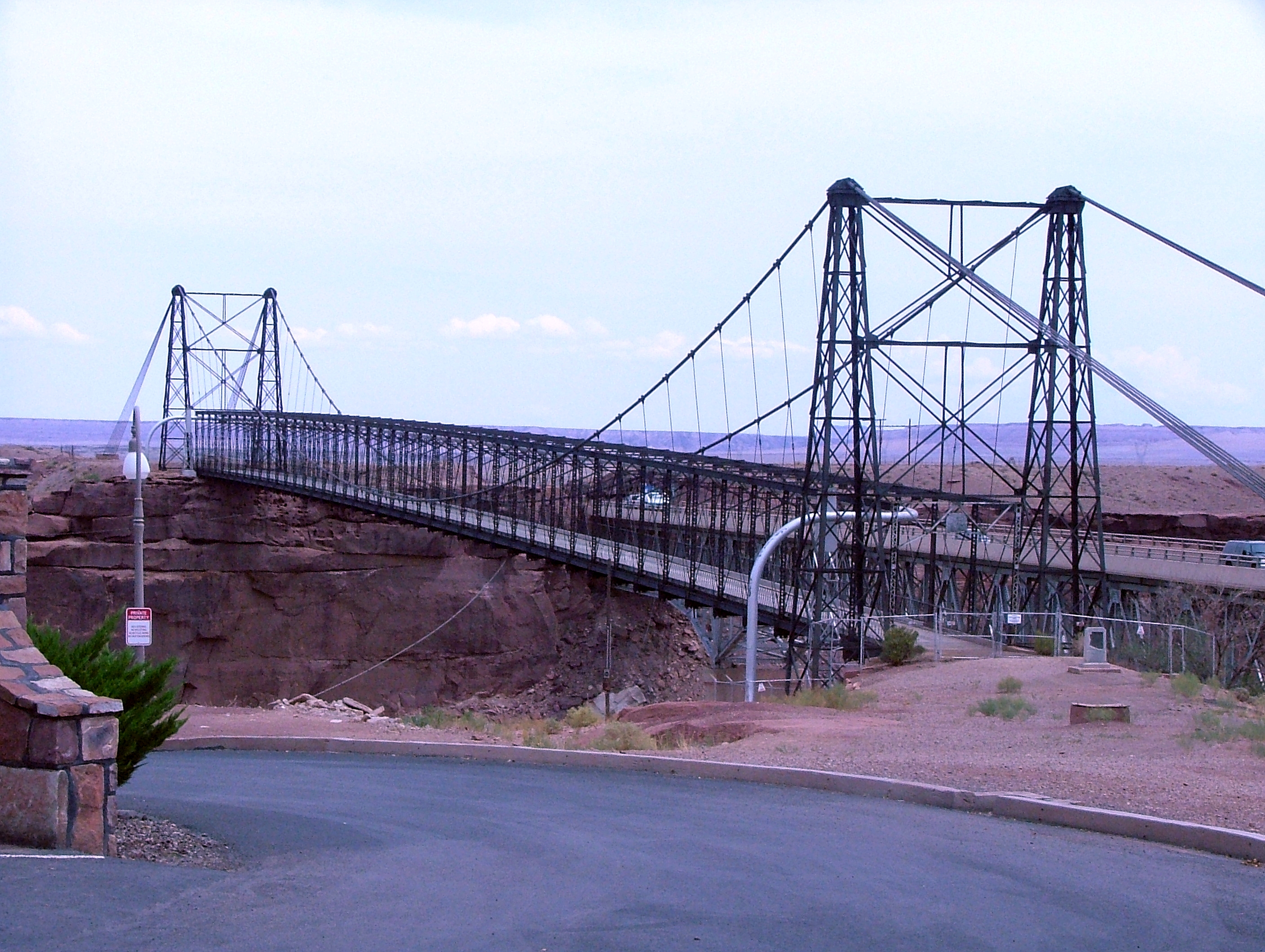
35°11′44″N 111°39′12″W / 35.195556°N 111.653333°WFlagstaff 22 Cameron Suspension Bridge 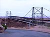
June 5, 1986 Carries U.S. Route 89 over the Little Colorado River
35°52′38″N 111°24′40″W / 35.877222°N 111.411111°WCameron 23 Camp Clover Ranger Station July 16, 1993 Off U.S. Route 89 southwest of Williams in the Kaibab National Forest
35°14′13″N 112°13′08″W / 35.236944°N 112.218889°WWilliams 24 H.E. Campbell House April 30, 1986 215 Leroux
35°12′00″N 111°38′51″W / 35.2°N 111.6475°WFlagstaff 25 Canyon Diablo Bridge 
September 30, 1988 Abandoned grade of Old U.S. Route 66 over Diablo Canyon
35°06′56″N 111°05′41″W / 35.115556°N 111.094722°WWinona 26 Canyon Padre Bridge September 30, 1988 Abandoned grade of Old U.S. Route 66 over Padre Canyon
35°09′44″N 111°17′12″W / 35.162222°N 111.286667°WFlagstaff 27 Chapel of the Holy Cross 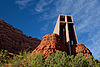
October 6, 2011 780 Chapel Rd.
34°49′55″N 111°46′00″W / 34.831944°N 111.766667°WSedona 28 CHARLES H. SPENCER Hulk 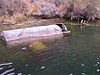
October 15, 1989 Address Restricted Lee's Ferry 29 Checkered Men November 21, 1992 Address Restricted Fredonia 30 J.M. Clark House December 5, 1984 503 N. Humphreys St.
35°12′11″N 111°38′56″W / 35.203056°N 111.648889°WFlagstaff 31 Coconino County Hospital Complex April 30, 1986 Ft. Valley Rd.
35°13′30″N 111°39′17″W / 35.225°N 111.654722°WFlagstaff 32 Cooper Ridge Lookout Tree January 13, 1992 North of the junction of Alternate U.S. Route 89 and State Route 67 in the Kaibab National Forest
36°44′48″N 112°13′05″W / 36.746667°N 112.218056°WFredonia 33 Corral Lake Lookout Tree January 13, 1992 Roughly 30 miles (48 km) southeast of Fredonia in the Kaibab National Forest
36°36′18″N 112°15′58″W / 36.605°N 112.266111°WFredonia 34 Coyote Range May 14, 1984 North of Flagstaff on U.S. Route 180
36°07′57″N 111°39′44″W / 36.1325°N 111.662222°WFlagstaff 35 Dead Indian Canyon Bridge 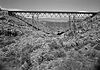
September 30, 1988 Abandoned grade of U.S. Route 64 over Dead Indian Canyon
35°55′58″N 111°38′27″W / 35.932778°N 111.640833°WDesert View 36 DelSue Motor Inn May 4, 1998 234 E. Old U.S. Route 66
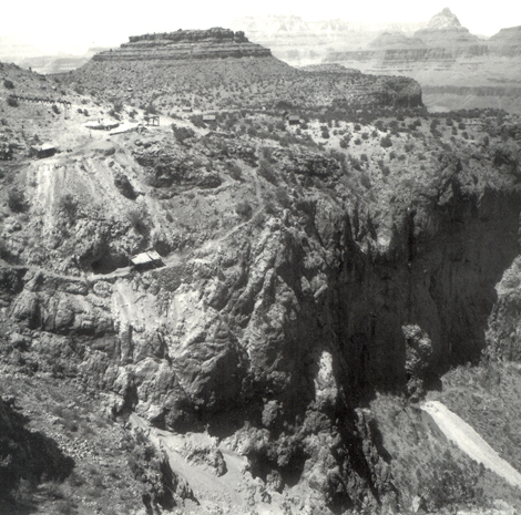
35°15′03″N 112°11′03″W / 35.250833°N 112.184167°WWilliams 37 Desert View Watchtower Historic District 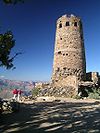
January 3, 1995 East Rim Drive, about 17 miles (27 km) east of Grand Canyon Village, Desert View
36°02′42″N 111°49′34″W / 36.045°N 111.826111°WGrand Canyon National Park 38 Dry Park Lookout Cabin and Storage Sheds January 28, 1988 Kaibab National Forest
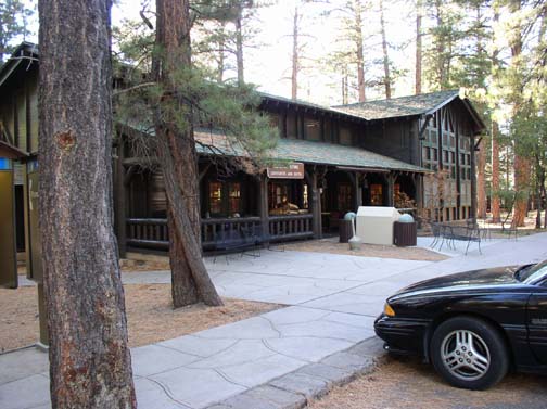
36°27′09″N 112°14′15″W / 36.4525°N 112.2375°WBig Springs 39 El Tovar Hotel 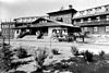
September 6, 1974 Grand Canyon National Park, Route 8A
36°03′27″N 112°08′13″W / 36.0575°N 112.136944°WGrand Canyon National Park 40 El Tovar Stables September 6, 1974 Off Grand Canyon National Park Route 8A
36°03′20″N 112°08′28″W / 36.055556°N 112.141111°WGrand Canyon National Park 41 Elden Pueblo 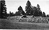
October 24, 1986 U.S. Route 89, north of Flagstaff
35°14′33″N 111°34′5″W / 35.2425°N 111.56806°W[4]Flagstaff 42 Dean Eldredge Museum 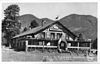
May 3, 1994 3404 E. Old U.S. Route 66
35°12′51″N 111°35′56″W / 35.214167°N 111.598889°WFlagstaff Now the Museum Club, a roadhouse and dance club 43 Fern Mountain Ranch March 29, 1978 North of Flagstaff
35°21′08″N 111°44′09″W / 35.352222°N 111.735833°WFlagstaff 44 First Baptist Church December 23, 1991 123 S. Beaver St.
35°11′43″N 111°39′03″W / 35.195278°N 111.650833°WFlagstaff 45 First Methodist Episcopal Church and Parsonage November 29, 1984 127 W. Sherman St.
35°19′47″N 112°11′17″W / 35.329722°N 112.188056°WWilliams 46 Flagstaff Armory April 30, 1986 503 S. Milton
35°11′43″N 111°39′20″W / 35.195278°N 111.655556°WFlagstaff 47 Flagstaff Southside Historic District March 31, 2010 South of downtown bordered by Route 66 and Santa Fe Railroad, Rio de Flag, and Northern Arizona University Flagstaff 48 Flagstaff Townsite Historic Residential District April 30, 1986 Roughly bounded by Cherry, Humphreys and Sitgreaves Sts., Railroad Ave., and Toltec and Aztec Sts.
35°12′04″N 111°39′13″W / 35.201111°N 111.653611°WFlagstaff 49 Fort Tuthill Historic District April 6, 2004 State Route 89A and Interstate 17
35°08′31″N 111°41′25″W / 35.141944°N 111.690278°WFlagstaff 50 Fracas Lookout Tree January 13, 1992 Roughly 30 miles (48 km) southeast of Fredonia in the Kaibab National Forest
36°39′39″N 112°16′16″W / 36.660833°N 112.271111°WFredonia 51 D.M. Francis House April 30, 1986 1456 Meade Ln.
35°13′06″N 111°39′32″W / 35.218333°N 111.658889°WFlagstaff 52 Grand Canyon Airport Historic District August 28, 2007 Approximately 2.6 miles (4.2 km) east of the junction of U.S. Route 180 and Forest Rd. 305 Tusayan 53 Grand Canyon Inn and Campground 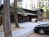
September 2, 1982 North Rim
36°12′34″N 112°03′35″W / 36.209444°N 112.059722°WGrand Canyon National Park 54 Grand Canyon Lodge 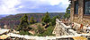
September 2, 1982 North Rim on Bright Angel Point
36°11′57″N 112°03′07″W / 36.199167°N 112.051944°WGrand Canyon National Park 55 Grand Canyon North Rim Headquarters 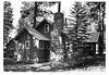
September 2, 1982 North Rim
36°12′53″N 112°03′42″W / 36.214722°N 112.061667°WGrand Canyon National Park 56 Grand Canyon Park Operations Building 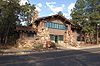
May 28, 1987 Off West Rim Dr.
36°03′18″N 112°08′13″W / 36.055°N 112.136944°WGrand Canyon National Park 57 Grand Canyon Power House 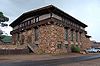
May 28, 1987 Off West Rim Dr.
36°03′20″N 112°08′24″W / 36.055556°N 112.14°WGrand Canyon National Park 58 Grand Canyon Railroad Station 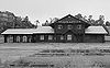
September 6, 1974 Grand Canyon National Park Route 8A
36°03′22″N 112°08′11″W / 36.056111°N 112.136389°WGrand Canyon National Park 59 Grand Canyon Railway 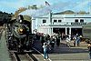
August 23, 2000 From Williams to Grand Canyon National Park
35°35′59″N 112°12′44″W / 35.599722°N 112.212222°WWilliams 60 Grand Canyon Village Historic District 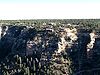
November 20, 1975 State Route 64
36°03′22″N 112°08′21″W / 36.056111°N 112.139167°WGrand Canyon National Park 61 Grandview Lookout Tower and Cabin January 28, 1988 Off Coconino Rim Rd.
35°57′28″N 111°57′15″W / 35.957778°N 111.954167°WTwin Lakes 62 Grandview Lookout Tree January 13, 1992 South of Grandview Point, Grand Canyon National Park, in the Kaibab National Forest
35°55′58″N 111°58′44″W / 35.932778°N 111.978889°WGrand Canyon National Park 63 Grandview Mine 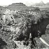
July 9, 1974 Grand Canyon National Park
36°01′05″N 111°58′32″W / 36.018056°N 111.975556°WGrand Canyon National Park 64 Hart Store October 25, 2007 100 Brewer Rd.
34°51′52″N 111°45′55″W / 34.86455°N 111.76518°WSedona 65 Head Hunters November 21, 1992 Address Restricted Fredonia 66 Hermits Rest Concession Building 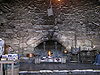
August 7, 1974 Grand Canyon National Park
36°03′40″N 112°12′40″W / 36.061111°N 112.211111°WGrand Canyon National Park 67 The Homestead May 27, 1975 3 miles (4.8 km) north of Flagstaff on U.S. Route 180
35°14′05″N 111°39′48″W / 35.234722°N 111.663333°WFlagstaff 68 House at 310 South Beaver April 30, 1986 310 S. Beaver
35°11′37″N 111°39′03″W / 35.193611°N 111.650833°WFlagstaff 69 House at 720 Grand Canyon Avenue April 30, 1986 720 Grand Canyon Ave.
35°11′58″N 111°39′26″W / 35.199444°N 111.657222°WFlagstaff 70 Hull Cabin Historic District October 23, 1985 1.5 miles (2.4 km) south of Grand Canyon South Rim in the Kaibab National Forest
35°57′46″N 111°56′54″W / 35.962778°N 111.948333°WGrand Canyon National Park 71 Hull Tank Lookout Tree 
January 13, 1992 Southeast of Grandview Point, Grand Canyon National Park, in the Kaibab National Forest
35°56′25″N 111°57′28″W / 35.940278°N 111.957778°WGrand Canyon National Park 72 The Ice House April 8, 2009 201 East Birch Avenue
35°11′54″N 111°38′43″W / 35.198333°N 111.645278°WFlagstaff 73 Jacob Lake Lookout Tower January 28, 1988 Grand Canyon Highway
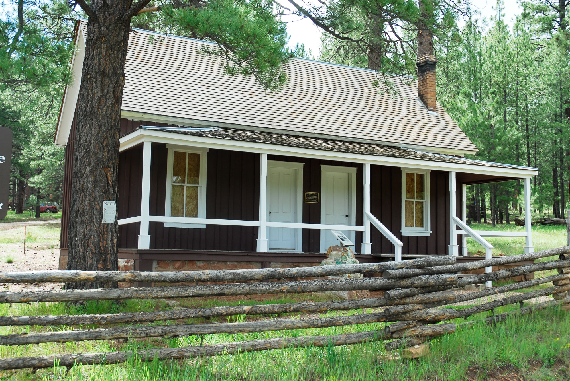
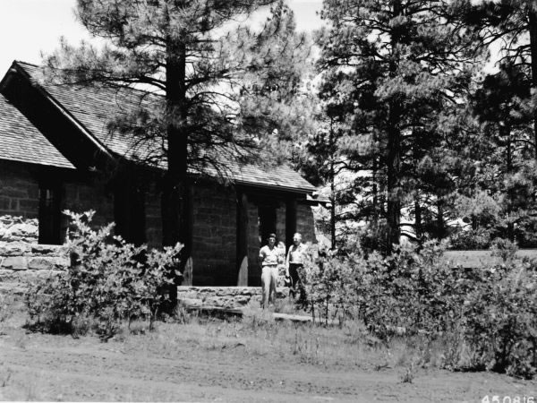
36°41′59″N 112°12′47″W / 36.699722°N 112.213056°WJacob Lake 74 Jacob Lake Ranger Station 
July 13, 1987 N. Kaibab Ranger District off State Route 67 in the Kaibab National Forest
36°42′23″N 112°13′52″W / 36.706389°N 112.231111°WJacob Lake Historic cabin and barn 75 Jordan Ranch January 28, 2004 735 Jordan Rd.
34°52′42″N 111°45′40″W / 34.878333°N 111.761111°WSedona 76 Kane Ranch Headquarters January 2, 2008 Approximately 11 miles (18 km) south of U.S. Route 89A on Forest Rd. 8910 House Rock Valley 77 Kendrick Lookout Cabin 
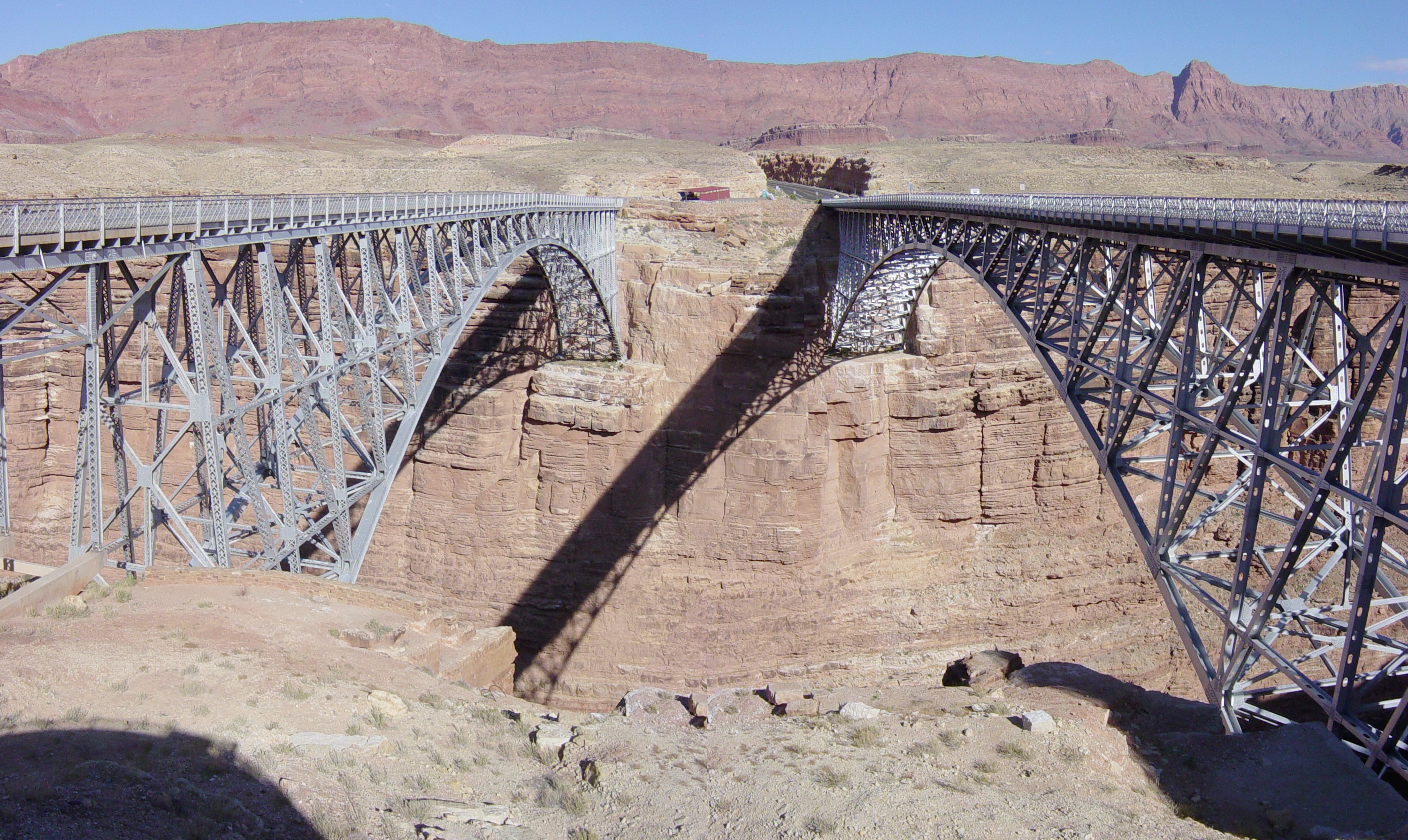
January 28, 1988 Kaibab National Forest
35°24′30″N 111°50′46″W / 35.408333°N 111.846111°WPumpkin Center Built in 1911[5] 78 I.B. Koch House April 30, 1986 7 Riordan Rd.
35°11′27″N 111°39′56″W / 35.190833°N 111.665556°WFlagstaff 79 Krenz-Kerley Trading Post August 24, 1998 Eastern side of Main St.
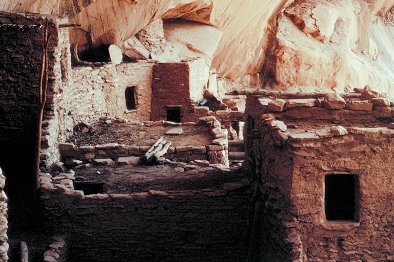
36°07′53″N 111°14′21″W / 36.131389°N 111.239167°WTuba City 80 La Cuidad de Mexico Grocery April 30, 1986 217 S. San Francisco
35°11′38″N 111°38′56″W / 35.193889°N 111.648889°WFlagstaff 81 La Iglesia Metodista Mexicana, El Divino Redentor January 30, 1985 319 S. San Francisco St.
35°11′34″N 111°38′58″W / 35.192778°N 111.649444°WFlagstaff 82 Laws Spring 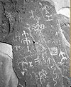
July 5, 1984 Kaibab National Forest
35°25′36″N 112°04′07″W / 35.426667°N 112.068611°WWilliams 83 Lee Butte Lookout Tower and Cabin January 28, 1988 Woods Canyon
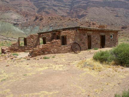
34°50′04″N 111°32′10″W / 34.834444°N 111.536111°WHappy Jack 84 Lee's Ferry and Lonely Dell Ranch 
November 4, 1997 Confluence of Colorado and Paria Rivers, near the Utah-Arizona border
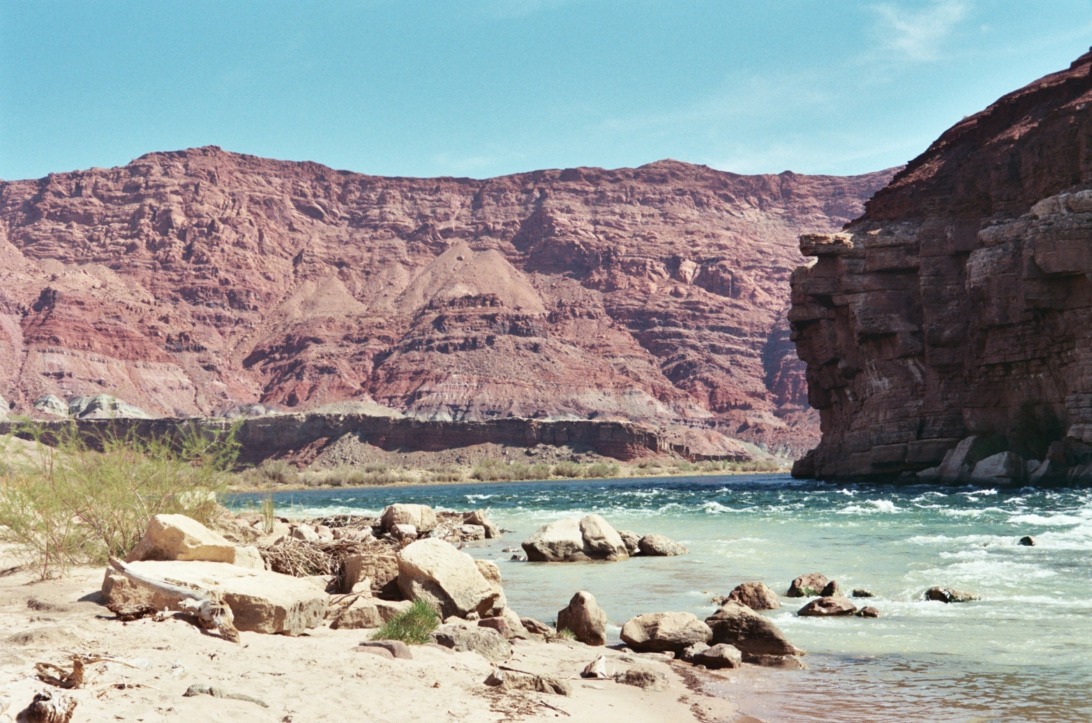
36°51′53″N 111°35′40″W / 36.864722°N 111.594444°WMarble Canyon 85 Lees Ferry 
March 15, 1976 Southwest of Page at the Colorado River
36°52′02″N 111°34′53″W / 36.867222°N 111.581389°WPage 86 Little Mountain Lookout Tree January 13, 1992 Roughly 30 miles (48 km) southeast of Fredonia in the Kaibab National Forest
36°35′22″N 112°21′30″W / 36.589444°N 112.358333°WFredonia 87 Lonely Dell Ranch Historic District 
May 19, 1978 Southwest of Page in the Glen Canyon National Recreation Area
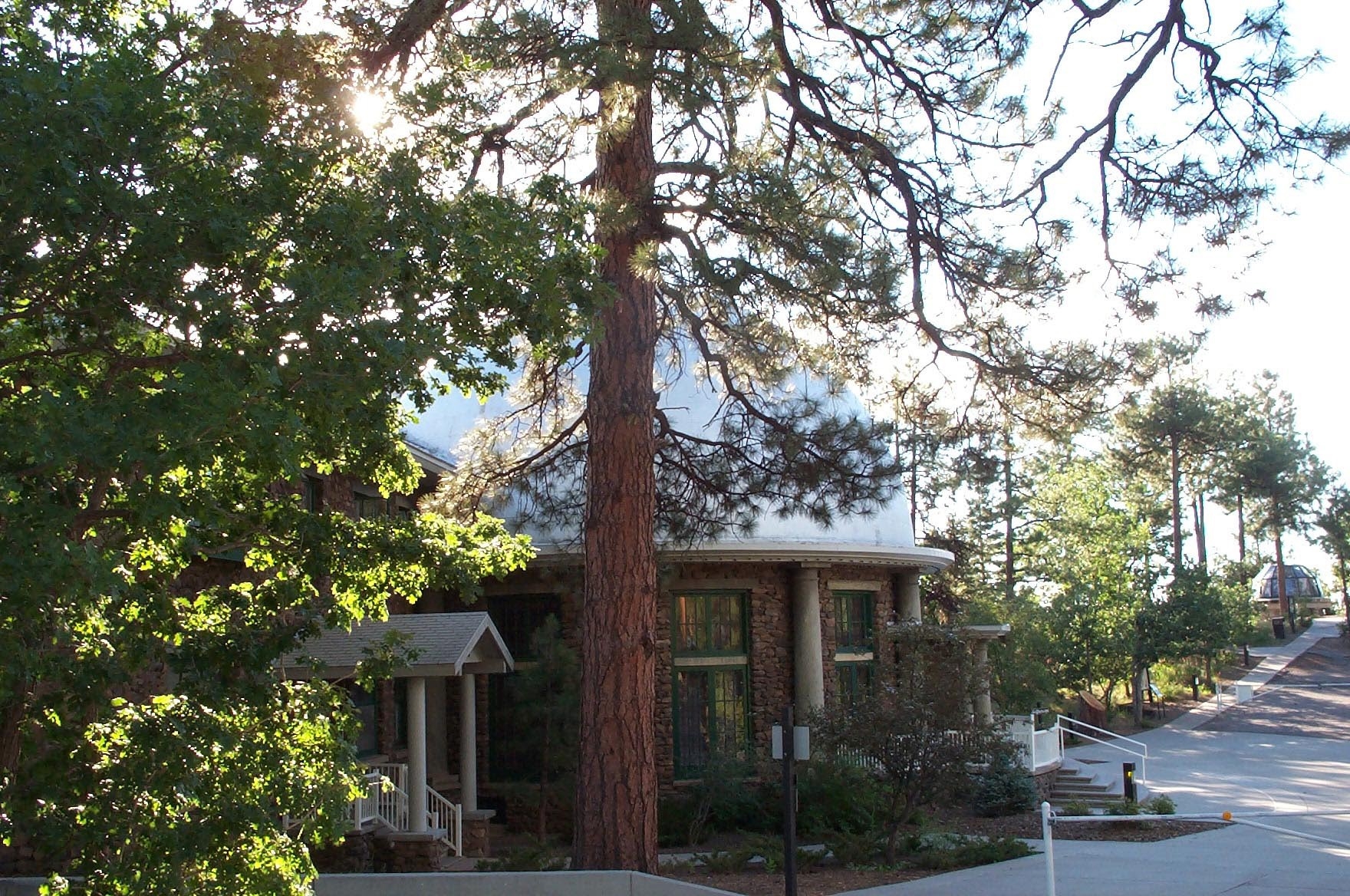
36°52′15″N 111°35′41″W / 36.870833°N 111.594722°WPage 88 Lowell Observatory 
October 15, 1966 1 mile (1.6 km) west of Flagstaff on Mars Hill
35°12′08″N 111°39′46″W / 35.202222°N 111.662778°WFlagstaff 89 Mary Jane Colter Buildings (Hopi House, The Lookout, Hermit's Rest, and the Desert View Watchtower) 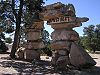
May 28, 1987 Several locations along the South Rim
36°03′15″N 112°03′18″W / 36.054167°N 112.055°WGrand Canyon National Park 90 C. Hart Merriam Base Camp Site 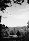
October 15, 1966 20 miles (32 km) northwest of Flagstaff in the Coconino National Forest
35°22′30″N 111°43′30″W / 35.375°N 111.725°WFlagstaff 91 W.W. Midgley Bridge 
March 31, 1989 Milepost 375.7 on Alternate U.S. Route 89 over Wilson Canyon
34°53′07″N 111°44′30″W / 34.885278°N 111.741667°WSedona 92 Milligan House November 29, 1984 323 W. Aspen
35°11′58″N 111°39′08″W / 35.199444°N 111.652222°WFlagstaff 93 Moqui Lookout Cabin January 28, 1988 Coconino National Forest
34°33′52″N 111°09′57″W / 34.564444°N 111.165833°WBlue Ridge 94 Moqui Ranger Station 
June 10, 1993 Off U.S. Route 180 north of Tusayan in the Kaibab National Forest
35°59′17″N 112°07′13″W / 35.988056°N 112.120278°WTusayan 95 Mormon Lake Lookout Cabin January 28, 1988 Coconino National Forest
34°53′12″N 111°25′42″W / 34.886667°N 111.428333°WMormon Lake 96 Museum of Northern Arizona Exhibition Building April 27, 1993 3001 N. Fort Valley Rd.
35°14′04″N 111°39′53″W / 35.234444°N 111.664722°WFlagstaff 97 Navajo National Monument 
October 15, 1966 30 miles (48 km) southwest of Kayenta
36°41′07″N 110°32′07″W / 36.685278°N 110.535278°WKayenta 98 Navajo Steel Arch Highway Bridge 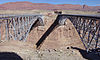
August 13, 1981 Southwest of Lee
36°49′05″N 111°37′52″W / 36.818056°N 111.631111°WLee's Ferry 99 North End Historic Residential District April 30, 1986 Roughly bounded by Hunt, San Francisco and Verde, Elm and Cherry, and Beaver and Humphreys Sts.
35°12′06″N 111°39′04″W / 35.201667°N 111.651111°WFlagstaff Flagstaff MRA 100 Northern Arizona Normal School Historic District 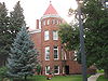
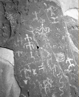
May 22, 1986 Northern Arizona University campus, near U.S. Route 89
35°11′35″N 111°39′18″W / 35.193056°N 111.655°WFlagstaff Old Main and other historic buildings 101 Nuvakwewtaqa August 2, 1977 Address Restricted Winslow 102 Buckey O'Neill Cabin 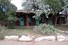
October 29, 1975 Off State Route 64 in Grand Canyon National Park
36°03′26″N 112°08′26″W / 36.057222°N 112.140556°WGrand Canyon National Park 103 Old Headquarters March 31, 1975 2 miles (3.2 km) east of Flagstaff in Walnut Canyon National Monument
35°10′30″N 111°31′02″W / 35.175°N 111.517222°WFlagstaff 104 Our Lady of Guadaloupe Church April 30, 1986 302 S. Kendrick
35°11′44″N 111°39′10″W / 35.195556°N 111.652778°WFlagstaff 105 Pendley Homestead Historic District December 23, 1991 U.S. Route 89A, 7 miles (11 km) north of Sedona
34°56′54″N 111°45′10″W / 34.948333°N 111.752778°WSedona Within Slide Rock State Park 106 Picture Canyon Archaeological Site January 10, 2008 Address Restricted Flagstaff 107 Presbyterian Church Parsonage April 30, 1986 15 E. Cherry
35°11′59″N 111°38′47″W / 35.199722°N 111.646389°WFlagstaff 108 Prochnow House April 30, 1986 304 S. Elden
35°11′32″N 111°38′42″W / 35.192222°N 111.645°WFlagstaff 109 Promontory Butte Lookout Complex January 28, 1988 Rim Rd. in the Apache-Sitgreaves National Forest
34°22′03″N 111°00′43″W / 34.3675°N 111.011944°WBeaver Park 110 Pumphouse Wash Bridge September 30, 1988 Milepost 387.4 on U.S. Route 89 over Pumphouse Wash
35°01′30″N 111°44′06″W / 35.025°N 111.735°WFlagstaff 111 Railroad Addition Historic District January 18, 1983 15 W. Aspen; also roughly bounded by Santa Fe railroad tracks, Agassiz and Beaver Sts., Birch and Aspen Aves.; also 122 E. Old U.S. Route 66
35°11′52″N 111°38′50″W / 35.197778°N 111.647222°WFlagstaff Additional addresses represent two boundary increases 112 Ranger's Dormitory 
September 5, 1975 Off State Route 64 in Grand Canyon National Park
36°03′20″N 112°08′11″W / 36.055556°N 112.136389°WGrand Canyon National Park 113 Ridge Ruin Archeological District April 20, 1992 Address Restricted Flagstaff 114 Riordan Estate February 28, 1979 2 Kinlichi Knoll
35°11′14″N 111°39′33″W / 35.187222°N 111.659167°WFlagstaff 115 Rock Family November 21, 1992 Address Restricted Fredonia 116 Rocketeers November 21, 1992 Address Restricted Fredonia 117 Rural Route 66, Brannigan Park May 19, 1989 Forest Rd. 146 east of Parks to Brannigan Park
35°15′46″N 111°53′40″W / 35.262778°N 111.894444°WParks 118 Rural Route 66, Parks May 19, 1989 Forest Rd. 146 between Beacon Hill and Parks
35°15′50″N 112°02′45″W / 35.263889°N 112.045833°WParks 119 Rural Route 66, Pine Springs May 19, 1989 Forest Rd. 108 at Pine Springs Ranch
35°12′55″N 112°16′42″W / 35.215278°N 112.278333°WWilliams 120 Saginaw & Manistee Camp 2 February 24, 1995 Address Restricted Flagstaff 121 Sedona Ranger Station August 29, 2008 Brewer Road, south of Hart Road Sedona 122 South Beaver School August 6, 1987 506 S. Beaver St.
35°11′30″N 111°39′06″W / 35.191667°N 111.651667°WFlagstaff 123 Summit Mountain Lookout Tree January 13, 1992 Off Perkinsville Rd. southeas of Williams in the Kaibab National Forest
35°07′51″N 112°07′56″W / 35.130833°N 112.132222°WWilliams 124 Superintendent's Residence 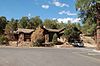
September 6, 1974 Off Route 8A in Grand Canyon National Park
36°03′22″N 112°08′05″W / 36.056111°N 112.134722°WGrand Canyon National Park 125 Tater Point Lookout Tree January 13, 1992 Forest Rd. 240 east of State Route 67 and south of Alternate U.S. Route 89 in the Kaibab National Forest
36°32′22″N 112°06′05″W / 36.539444°N 112.101389°WFredonia 126 Taylor Cabin Line Camp July 16, 1985 Sycamore Canyon Wilderness Area
34°59′18″N 111°59′19″W / 34.988333°N 111.988611°WSedona 127 Telephone Hill Lookout Tree January 13, 1992 Off State Route 67 south of its junction with Alternate U.S. Route 89 in the Kaibab National Forest
36°32′50″N 112°10′33″W / 36.547222°N 112.175833°WFredonia 128 Tipover Lookout Tree January 13, 1992 Northwest of North Rim Entrance Station, Grand Canyon National Park, in the Kaibab National Forest
36°21′56″N 112°08′19″W / 36.365556°N 112.138611°WFredonia 129 Trans-Canyon Telephone Line, Grand Canyon National Park 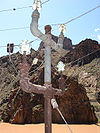
May 13, 1986 Grand Canyon along the Bright Angel and North Kaibab Trails from the South Rim to Roaring Springs and the South Kaibab Trail to Tipoff
36°06′36″N 112°05′34″W / 36.11°N 112.092778°WGrand Canyon National Park 130 Tuba Trading Post November 29, 1996 Northwestern corner of the junction of Main and Moenave Sts.
36°07′49″N 111°14′23″W / 36.130278°N 111.239722°WTuba City 131 Tusayan Lookout Tree January 13, 1992 West of U.S. Route 180, southwest of Tusayan in the Kaibab National Forest
35°58′16″N 112°08′11″W / 35.971111°N 112.136389°WTusayan 132 Tusayan Ruins 
July 10, 1974 Grand Canyon National Park
36°00′49″N 111°51′56″W / 36.013611°N 111.865556°WGrand Canyon National Park 133 Tutuveni December 3, 1986 Address Restricted Cameron 134 Twins November 21, 1992 Address Restricted Fredonia 135 Two Spot Logging Train September 14, 1999 Junction of San Francisco St. and Old U.S. Route 66
35°11′48″N 111°38′46″W / 35.196667°N 111.646111°WFlagstaff 136 Urban Route 66, Williams May 19, 1989 Bill Williams Ave. between 6th St. and Pine St.
35°14′56″N 112°11′31″W / 35.248889°N 112.191944°WWilliams 137 USFS Fort Valley Experimental Forest Station Historic District July 25, 2001 1⁄3 miles (0.54 km) west of the junction of U.S. Route 180 and Bader Rd.
35°16′04″N 111°44′34″W / 35.267778°N 111.742778°WFlagstaff 138 Volunteer Lookout Cabin January 28, 1988 Kaibab National Forest
35°13′05″N 111°53′41″W / 35.218056°N 111.894722°WBellemont 139 Walnut Canyon Bridge 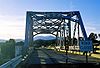
September 30, 1988 Townsend-Winona Highway
35°12′42″N 111°25′14″W / 35.211667°N 111.420556°WWinona 140 Walnut Canyon Dam January 18, 1979 Southeast of Flagstaff
35°09′59″N 111°28′30″W / 35.166389°N 111.475°WFlagstaff 141 Walnut Canyon National Monument 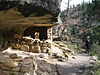
October 15, 1966 8 miles (13 km) east of Flagstaff off Old U.S. Route 66
35°09′51″N 111°30′03″W / 35.164167°N 111.500833°WFlagstaff 142 Water Reclamation Plant 
September 6, 1974 South of Grand Canyon National Park, Route 8A
36°02′54″N 112°09′19″W / 36.048333°N 112.155278°WGrand Canyon National Park 143 Weatherford Hotel 
March 30, 1978 23 N. Leroux St.
35°11′54″N 111°38′53″W / 35.198333°N 111.648056°WFlagstaff 144 White Man Cave November 21, 1992 Address Restricted Fredonia 145 Williams Historic Business District December 20, 1984 Roughly bounded by Grant and Railroad Aves. and 1st and 4th Sts.
35°15′03″N 112°11′20″W / 35.250833°N 112.188889°WWilliams 146 Williams Residential Historic District January 8, 1998 Roughly bounded by Grant and Fairview Aves. and Taber and 6th Sts.
35°14′47″N 112°11′12″W / 35.246389°N 112.186667°WWilliams 147 Willow Springs December 3, 1986 Address Restricted Cameron 148 Charles Wilson, Jr. House April 30, 1986 100 Wilson Dr.
35°12′01″N 111°39′54″W / 35.200278°N 111.665°WFlagstaff 149 Winona October 15, 1966 Address Restricted Winona Archaeological site. 150 Wise Men November 21, 1992 Address Restricted Fredonia 151 Woody Mountain Lookout Tower January 28, 1988 Rogers Lake
35°08′32″N 111°44′57″W / 35.142222°N 111.749167°WFlagstaff 152 Wupatki National Monument 
October 15, 1966 30 miles (48 km) north of Flagstaff off U.S. Route 89
35°33′01″N 111°23′02″W / 35.550278°N 111.383889°WFlagstaff See also
- List of National Historic Landmarks in Arizona
- National Register of Historic Places listings in Arizona
References
- ^ The latitude and longitude information provided in this table was derived originally from the National Register Information System, which has been found to be fairly accurate for about 99% of listings. For about 1% of NRIS original coordinates, experience has shown that one or both coordinates are typos or otherwise extremely far off; some corrections may have been made. A more subtle problem causes many locations to be off by up to 150 yards, depending on location in the country: most NRIS coordinates were derived from tracing out latitude and longitudes off of USGS topographical quadrant maps created under North American Datum of 1927, which differs from the current, highly accurate GPS system used by Google maps. Chicago is about right, but NRIS longitudes in Washington are higher by about 4.5 seconds, and are lower by about 2.0 seconds in Maine. Latitudes differ by about 1.0 second in Florida. Some locations in this table may have been corrected to current GPS standards.
- ^ "National Register of Historic Places: Weekly List Actions". National Park Service, United States Department of the Interior. Retrieved on November 10, 2011.
- ^ Numbers represent an ordering by significant words. Various colorings, defined here, differentiate National Historic Landmark sites and National Register of Historic Places Districts from other NRHP buildings, structures, sites or objects.
- ^ Location derived from its GNIS feature record; the NRIS lists the site as "Address Restricted".
- ^ "National Register Information System". National Register of Historic Places. National Park Service. 2009-03-13. http://nrhp.focus.nps.gov/natreg/docs/All_Data.html.
U.S. National Register of Historic Places Topics Lists by states Alabama • Alaska • Arizona • Arkansas • California • Colorado • Connecticut • Delaware • Florida • Georgia • Hawaii • Idaho • Illinois • Indiana • Iowa • Kansas • Kentucky • Louisiana • Maine • Maryland • Massachusetts • Michigan • Minnesota • Mississippi • Missouri • Montana • Nebraska • Nevada • New Hampshire • New Jersey • New Mexico • New York • North Carolina • North Dakota • Ohio • Oklahoma • Oregon • Pennsylvania • Rhode Island • South Carolina • South Dakota • Tennessee • Texas • Utah • Vermont • Virginia • Washington • West Virginia • Wisconsin • WyomingLists by territories Lists by associated states Other  Category:National Register of Historic Places •
  Portal:National Register of Historic Places
Properties on the National Register of Historic Places in Arizona 
Municipalities and communities of Coconino County, Arizona County seat: Flagstaff Cities 
Towns CDPs Bitter Springs | Cameron | Doney Park | Grand Canyon Village | Kachina Village | Kaibab‡ | Kaibito | Lechee | Leupp | Moenkopi | Mountainaire | Munds Park | Parks | Supai | Tonalea | Tuba City | Winslow West‡
Unincorporated
communitiesBellemont | Forest Lakes | Gray Mountain | Happy Jack | Hualapai Hilltop | Jacob Lake | Marble Canyon | North Rim | Valle | Winona
Indian reservations Ghost town Footnotes ‡This populated place also has portions in an adjacent county or counties
Categories:- National Register of Historic Places in Arizona by county
- History of Coconino County, Arizona
-


Wikimedia Foundation. 2010.