- National Register of Historic Places listings in Graham County, Arizona
-
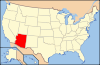
 Location of Graham County in Arizona
This is a list of the National Register of Historic Places listings in Graham County, Arizona. It is intended to be a complete list of the properties and districts on the National Register of Historic Places in Graham County, Arizona, United States. The locations of National Register properties and districts for which the latitude and longitude coordinates are included below, may be seen in a Google map.[1]
There are 34 properties and districts listed on the National Register in the county, including 2 that are also National Historic Landmarks.
-
- This National Park Service list is complete through NPS recent listings posted November 10, 2011.[2]
Current listings
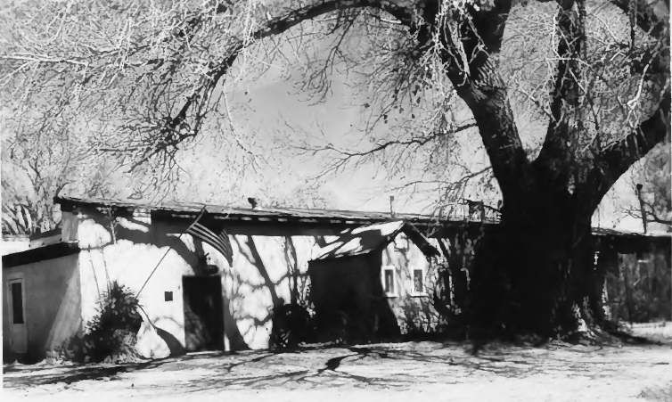
[3] Landmark name Image Date listed Location City or town Summary 1 Arizona Bank and Trust February 9, 1988 429 Main
32°49′59″N 109°42′42″W / 32.833056°N 109.711667°WSafford 2 Richard Bingham House February 9, 1988 1208 9th Ave.
32°49′35″N 109°43′03″W / 32.826389°N 109.7175°WSafford 3 Bonita Store March 6, 1998 1 mile northwest of the junction of State Route 266 and Arizona Industrial School Rd.
32°35′22″N 109°58′08″W / 32.589444°N 109.968889°WBonita 4 Paul Brooks House February 9, 1988 1033 5th Ave.
32°49′40″N 109°42′43″W / 32.827778°N 109.711944°WSafford 5 Buena Vista Hotel February 9, 1988 322 Main
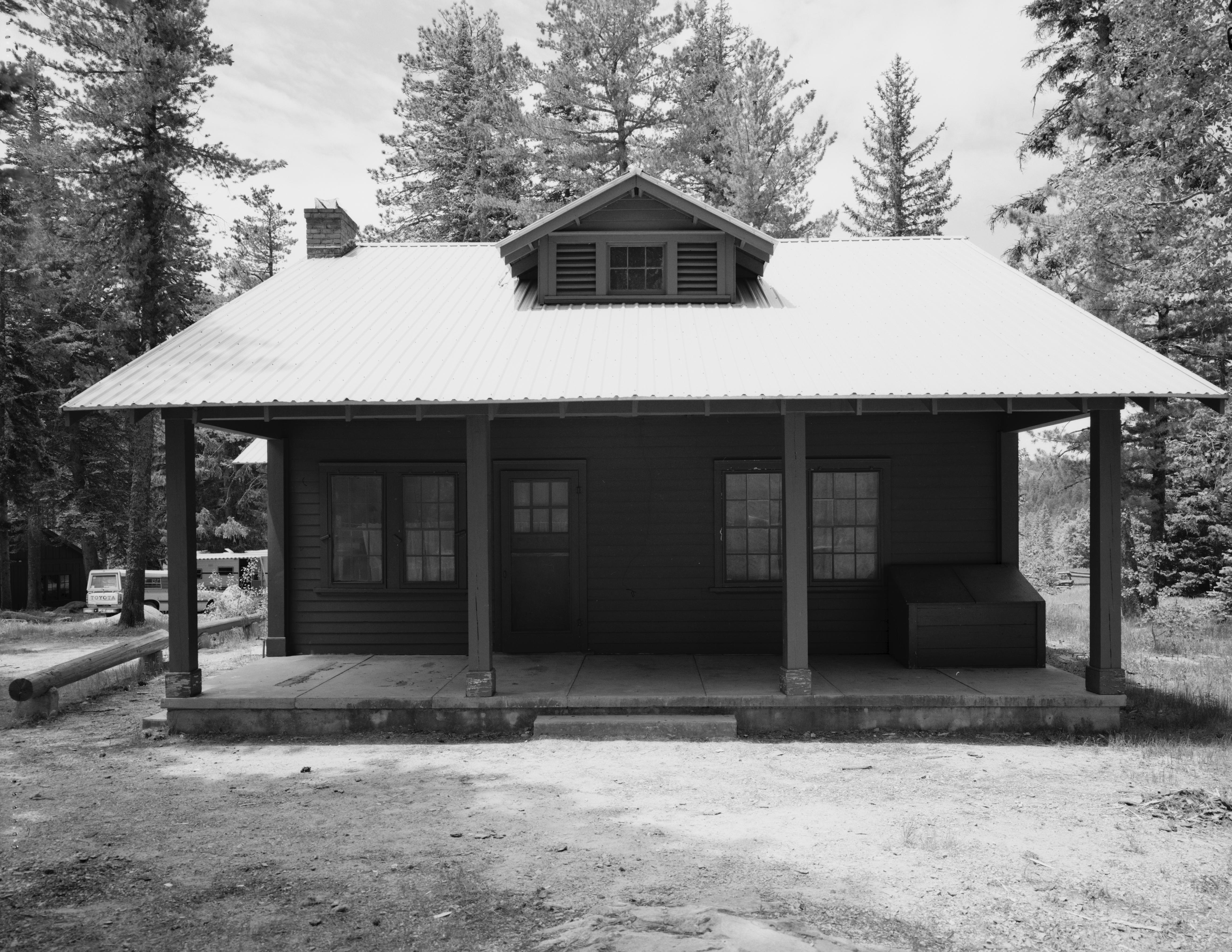
32°50′00″N 109°42′38″W / 32.833333°N 109.710556°WSafford 6 Columbine Work Station 
June 10, 1993 State Route 366 southwest of Safford in the Coronado National Forest
32°42′13″N 109°54′46″W / 32.703611°N 109.912778°WSafford 7 T. D. Cross House February 9, 1988 918 1st Ave.
32°49′46″N 109°42′26″W / 32.829444°N 109.707222°WSafford 8 William Charles Davis House February 9, 1988 301 11th St.
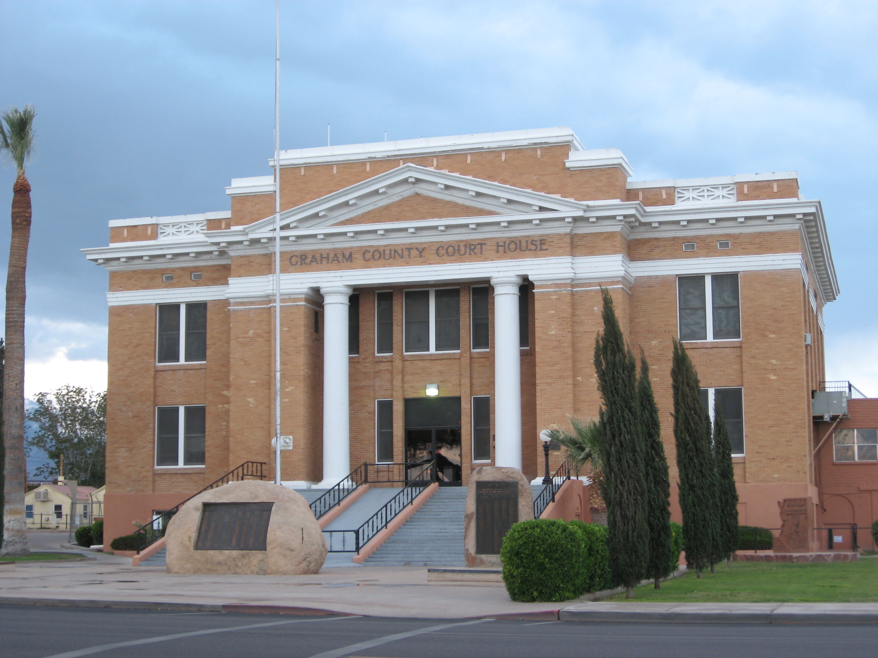
32°49′39″N 109°42′36″W / 32.8275°N 109.71°WSafford 9 Graham County Courthouse 
May 25, 1982 800 Main St.
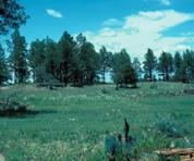
32°49′59″N 109°42′57″W / 32.833056°N 109.715833°WSafford 10 Heliograph Lookout Complex January 28, 1988 Coronado National Forest
32°39′00″N 109°50′56″W / 32.65°N 109.848889°WOld Columbine 11 Joe Horowitz House February 9, 1988 118 Main
32°50′00″N 109°42′28″W / 32.833333°N 109.707778°WSafford 12 House at 611 Third Avenue February 9, 1988 611 3rd Ave.
32°49′59″N 109°42′33″W / 32.833056°N 109.709167°WSafford 13 Kearny Campsite and Trail October 9, 1974 Northeast of Safford off U.S. Route 666
32°53′36″N 109°28′30″W / 32.893333°N 109.475°WSafford 14 Marijilda Canyon Prehistoric Archeological District October 2, 1988 Address Restricted Safford 15 Mathew O'Brien House February 9, 1988 615 1st Ave.
32°49′58″N 109°42′24″W / 32.832778°N 109.706667°WSafford 16 Oak Draw Archeological District November 25, 1992 Address Restricted Safford 17 Oddfellows Home May 12, 1988 808 8th Ave.
32°49′50″N 109°42′57″W / 32.830556°N 109.715833°WSafford 18 George A. Olney House February 9, 1988 1104 Central
32°49′40″N 109°42′40″W / 32.827778°N 109.711111°WSafford 19 Alonzo Hamilton Packer House February 9, 1988 1203 Central
32°49′34″N 109°42′38″W / 32.826111°N 109.710556°WSafford 20 Point of Pines 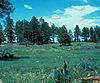
October 15, 1966 Address Restricted Morenci 21 Power's Cabin August 13, 1975 Northwest of Willcox in the Coronado National Forest
32°35′38″N 110°20′43″W / 32.593889°N 110.345278°WWillcox 22 David Ridgeway House February 9, 1988 928 Central
32°49′46″N 109°42′40″W / 32.829444°N 109.711111°WSafford 23 Safford High School February 9, 1988 520 11th St.
32°49′41″N 109°42′47″W / 32.828056°N 109.713056°WSafford School building built in 1915, listed on the National Register in 1988, and apparently razed in mid-1990s but still not yet delisted. 24 Sierra Bonita Ranch 
October 15, 1966 Southwest of Bonita
32°30′36″N 110°02′15″W / 32.51°N 110.0375°WBonita Extends into Cochise County 25 Southern Pacific Railroad Depot February 9, 1988 808 Central
32°49′52″N 109°42′41″W / 32.831111°N 109.711389°WSafford 26 Hugh Talley House February 9, 1988 1114 3rd Ave.
32°49′35″N 109°42′35″W / 32.826389°N 109.709722°WSafford 27 William Talley House February 9, 1988 219 11th St.
32°49′39″N 109°42′33″W / 32.8275°N 109.709167°WSafford 28 Webb Peak Lookout Tower January 28, 1988 Off State Route 366
32°42′41″N 109°55′19″W / 32.711389°N 109.921944°WOld Columbine 29 James R. Welker House February 9, 1988 1127 Central
32°49′36″N 109°42′37″W / 32.826667°N 109.710278°WSafford 30 West Peak Lookout Tower January 28, 1988 Coronado National Forest
32°44′15″N 110°02′15″W / 32.7375°N 110.0375°WBonita 31 David Wickersham House February 9, 1988 1101 5th Ave.
32°49′38″N 109°42′42″W / 32.827222°N 109.711667°WSafford 32 Dan Williams House February 9, 1988 603 Relation
32°49′27″N 109°42′49″W / 32.824167°N 109.713611°WSafford 33 J. Mark Wilson House February 9, 1988 712 Relation
32°49′28″N 109°42′55″W / 32.824444°N 109.715278°WSafford 34 Woman's Club May 12, 1988 215 Main
32°49′59″N 109°42′33″W / 32.833056°N 109.709167°WSafford See also
- List of National Historic Landmarks in Arizona
- National Register of Historic Places listings in Arizona
References
- ^ The latitude and longitude information provided in this table was derived originally from the National Register Information System, which has been found to be fairly accurate for about 99% of listings. For about 1% of NRIS original coordinates, experience has shown that one or both coordinates are typos or otherwise extremely far off; some corrections may have been made. A more subtle problem causes many locations to be off by up to 150 yards, depending on location in the country: most NRIS coordinates were derived from tracing out latitude and longitudes off of USGS topographical quadrant maps created under the North American Datum of 1927, which differs from the current, highly accurate WGS84 GPS system used by Google maps. Chicago is about right, but NRIS longitudes in Washington are higher by about 4.5 seconds, and are lower by about 2.0 seconds in Maine. Latitudes differ by about 1.0 second in Florida. Some locations in this table may have been corrected to current GPS standards.
- ^ "National Register of Historic Places: Weekly List Actions". National Park Service, United States Department of the Interior. Retrieved on November 10, 2011.
- ^ Numbers represent an ordering by significant words. Various colorings, defined here, differentiate National Historic Landmark sites and National Register of Historic Places Districts from other NRHP buildings, structures, sites or objects.
U.S. National Register of Historic Places Topics Lists by states Alabama • Alaska • Arizona • Arkansas • California • Colorado • Connecticut • Delaware • Florida • Georgia • Hawaii • Idaho • Illinois • Indiana • Iowa • Kansas • Kentucky • Louisiana • Maine • Maryland • Massachusetts • Michigan • Minnesota • Mississippi • Missouri • Montana • Nebraska • Nevada • New Hampshire • New Jersey • New Mexico • New York • North Carolina • North Dakota • Ohio • Oklahoma • Oregon • Pennsylvania • Rhode Island • South Carolina • South Dakota • Tennessee • Texas • Utah • Vermont • Virginia • Washington • West Virginia • Wisconsin • WyomingLists by territories Lists by associated states Other Properties on the National Register of Historic Places in Arizona 
Municipalities and communities of Graham County, Arizona City 
Towns CDPs Unincorporated
communitiesBylas | Central | Eden | Fort Thomas | Solomonville
Indian reservations Ghost towns Footnotes ‡This populated place also has portions in an adjacent county or counties
Categories:- National Register of Historic Places in Arizona by county
- Graham County, Arizona
-


Wikimedia Foundation. 2010.