- National Register of Historic Places listings in Cochise County, Arizona
-
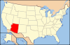
 Location of Cochise County in Arizona
This is a list of the National Register of Historic Places listings in Cochise County, Arizona. It is intended to be a complete list of the properties and districts on the National Register of Historic Places in Cochise County, Arizona, United States. The locations of National Register properties and districts for which the latitude and longitude coordinates are included below, may be seen in a Google map.[1]
There are 80 properties and districts listed on the National Register in the county, including 8 that are also National Historic Landmarks.
-
- This National Park Service list is complete through NPS recent listings posted November 10, 2011.[2]
Listings county-wide
[3] Landmark name Image Date listed Location City or town Summary 1 Apache Powder Historic Residential District March 11, 1994 100 and 200 blocks of W. 6th St.
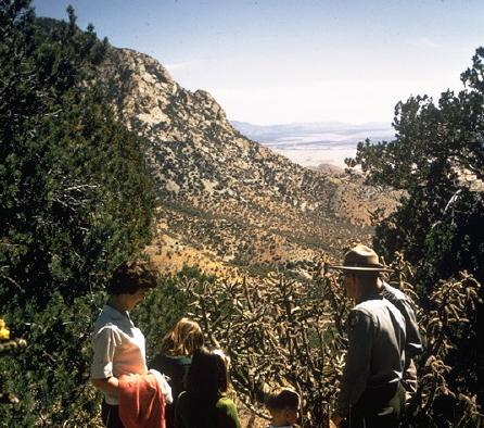
31°58′1″N 110°17′59″W / 31.96694°N 110.29972°WBenson 2 Barfoot Lookout Complex January 28, 1988 Buena Vista Peak
31°54′59″N 109°16′23″W / 31.916389°N 109.273056°WPortal 3 Bear Spring House, Guardhouse, and Spring March 18, 1983 South of Bowie off Apache Pass Rd.
32°08′22″N 109°25′34″W / 32.139444°N 109.426111°WBowie 4 Benson Railroad Historic District March 11, 1994 200 and 300 blocks of E. 3rd St.
31°58′10″N 110°17′41″W / 31.969444°N 110.294722°WBenson 5 Benson Historic Barrio April 8, 2011 307-572 E. Fifth St., between San Pedro St. and Route 80
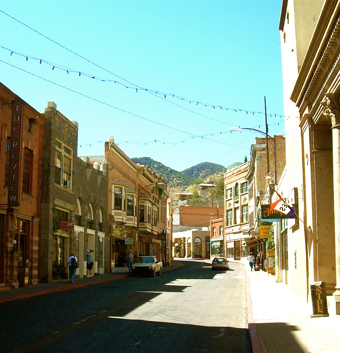
31°57′59″N 110°17′33″W / 31.966389°N 110.2925°WBenson 6 Bisbee Historic District 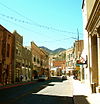
July 3, 1980 U.S. Route 80
31°26′32″N 109°55′00″W / 31.442222°N 109.916667°WBisbee 7 Bisbee Residential Historic District October 15, 2010 Roughly bounded by the City of Bisbee city limits north of Lavender Put Mine, excluding existing Bisbee Historic District Bisbee 8 Bisbee Woman's Club Clubhouse January 31, 1985 74 Quality Hill
31°26′24″N 109°54′59″W / 31.44°N 109.916389°WBisbee 9 Benjamin E. Briscoe House May 27, 1987 358 N. Bowie
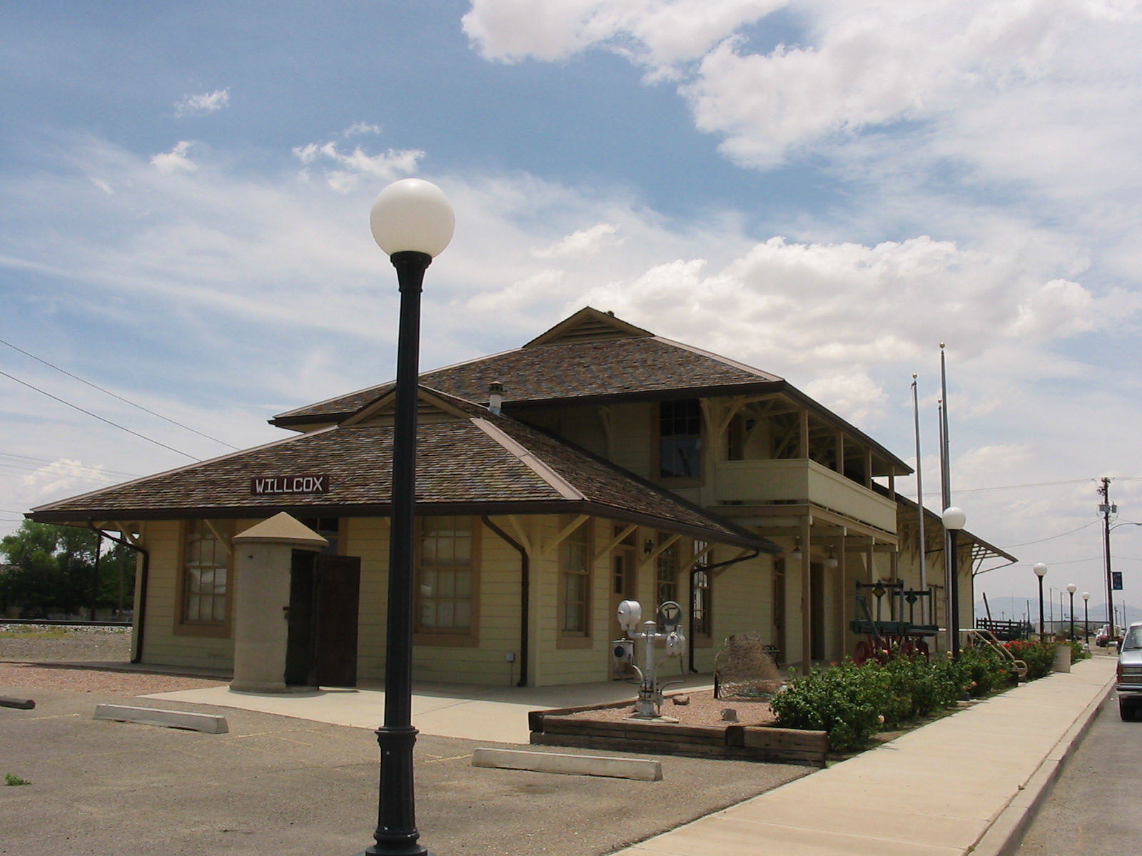
32°15′28″N 109°50′19″W / 32.257778°N 109.838611°WWillcox 10 Cima Park Fire Guard Station June 10, 1993 In the Chiricahua Wilderness northeast of Douglas in Coronado National Forest
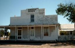
31°51′41″N 109°16′55″W / 31.861389°N 109.281944°WDouglas 11 Cochise Hotel 
October 22, 1976 Off U.S. Route 666
32°06′17″N 109°55′20″W / 32.104722°N 109.922222°WCochise 12 Coronado National Memorial 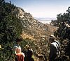
October 15, 1966 30 miles southwest of Bisbee
31°20′48″N 110°15′12″W / 31.346667°N 110.253333°WBisbee 13 Council Rocks Archaeological District January 16, 1987 Address Restricted St. David 14 Crowley House August 6, 1987 175 S. Railroad Ave.
32°15′02″N 109°49′49″W / 32.250556°N 109.830278°WWillcox 15 Double Adobe Site October 15, 1966 Address Restricted Douglas 16 Douglas Historic District January 31, 1985 Roughly bounded by Pan American, H, and F Aves. along 8th, 10th, 11th, 12th, and 13th Sts. and G Ave.
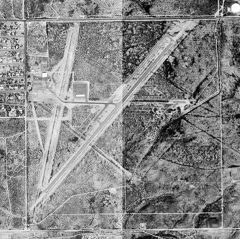
31°20′43″N 109°33′13″W / 31.345278°N 109.553611°WDouglas 17 Douglas Municipal Airport 
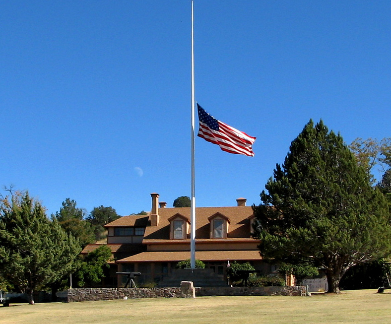
December 30, 1975 Eastern end of 10th Ave.
31°20′32″N 109°30′19″W / 31.342222°N 109.505278°WDouglas 18 Douglas Residential Historic District July 31, 1986 Roughly bounded by 12th St., Carmelita Ave., 7th St., and East Ave.
31°20′40″N 109°32′49″W / 31.344444°N 109.546944°WDouglas 19 Douglas Sonoran Historic District August 26, 1987 Roughly bounded by the western side of H Ave. between 6th and 9th Sts.
31°20′47″N 109°32′30″W / 31.346389°N 109.541667°WDouglas 20 Douglas Underpass September 30, 1988 U.S. Route 80 under Southern Pacific railroad tracks at milepost 366.1
31°21′01″N 109°33′17″W / 31.350278°N 109.554722°WDouglas 21 Walter Douglas House September 22, 2000 201 Cole Ave.
31°25′05″N 109°52′37″W / 31.418056°N 109.876944°WBisbee Also known as Loma Linda. 22 Dragoon Springs Stage Station Site May 7, 1979 Address Restricted Dragoon 23 El Paso and Southwestern Railroad Passenger Depot-Douglas April 16, 1986 14th St. and H Ave.
31°20′58″N 109°33′21″W / 31.349444°N 109.555833°WDouglas 24 El Paso and Southwestern Railroad YMCA March 1, 1984 1000 Pan American Ave.
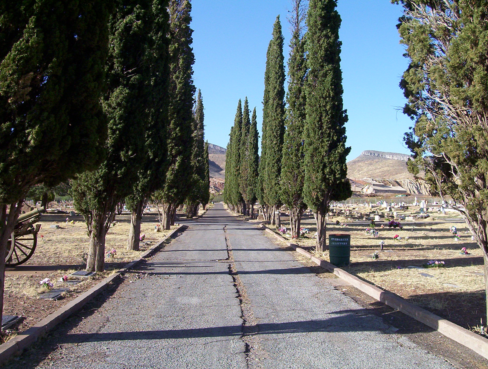
31°20′40″N 109°33′24″W / 31.344444°N 109.556667°WDouglas 25 Evergreen Cemetery 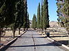
October 7, 2005 Old Douglas Rd.
31°25′54″N 109°53′26″W / 31.431667°N 109.890556°WBisbee 26 Faraway Ranch Historic District 
August 27, 1980 State Route 181
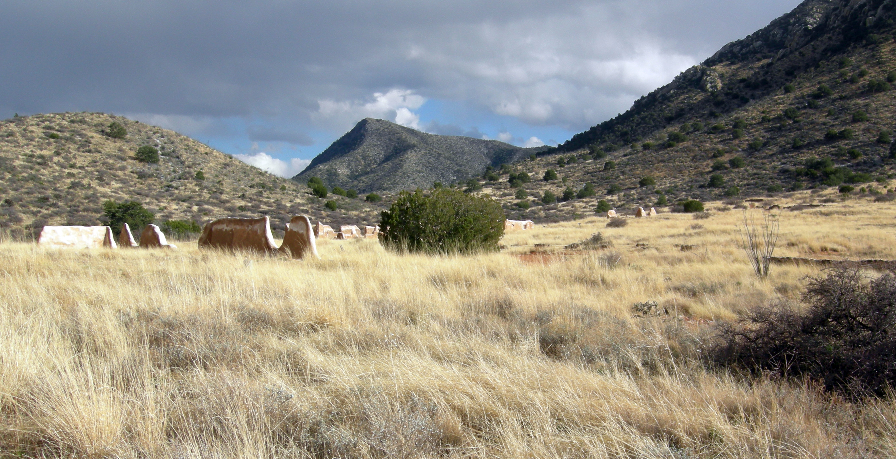
32°00′38″N 109°22′23″W / 32.010556°N 109.373056°WDos Cabezas 27 Fort Bowie National Historic Site 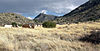
July 29, 1972 12 miles south of Bowie
32°9′24.15″N 109°27′10.54″W / 32.1567083°N 109.4529278°WBowie 28 Fort Huachuca 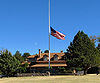
November 20, 1974 3.6 miles west of Sierra Vista
31°32′59″N 110°21′50″W / 31.549722°N 110.363889°WSierra Vista 29 Fry Pioneer Cemetery January 15, 2009 Between 6th and 7th Sts., ½ block north of Fry Boulevard
31°33′22″N 110°17′30″W / 31.556111°N 110.291692°WSierra Vista 30 Gadsden Hotel 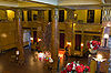
July 30, 1976 1046 G. Ave.
31°20′43″N 109°33′15″W / 31.345278°N 109.554167°WDouglas 31 Garden Canyon Archeological Site October 29, 1975 Address Restricted Sierra Vista 32 Garden Canyon Petroglyphs July 30, 1974 Address Restricted Sierra Vista 33 Geronimo Surrender Site March 6, 1998 Bluff overlooking Skeleton Canyon, 45 miles northeast of Douglas
31°35′59″N 109°04′24″W / 31.599722°N 109.073333°WDouglas 34 Grand Theatre July 30, 1976 1139-1149 G. Ave.
31°20′43″N 109°33′35″W / 31.345278°N 109.559722°WDouglas 35 John Gung'l House May 27, 1987 210 S. El Paso Ave.
32°15′10″N 109°50′11″W / 32.252778°N 109.836389°WWillcox 36 Hereford Bridge September 30, 1988 Hereford Rd. over the San Pedro River
31°26′18″N 110°06′26″W / 31.438333°N 110.107222°WHereford 37 Hi Wo Company Grocery March 11, 1994 398 E. 4th St.
31°58′04″N 110°17′33″W / 31.967778°N 110.2925°WBenson 38 Hooker Town House May 27, 1987 235 E. Stewart
32°15′10″N 109°50′23″W / 32.252778°N 109.839722°WWillcox 39 Johnson-Tillotson House August 6, 1987 124 N. Curtis
32°15′12″N 109°50′00″W / 32.253333°N 109.833333°WWillcox 40 Kinjockity Ranch July 19, 1996 10047 E. State Route 92
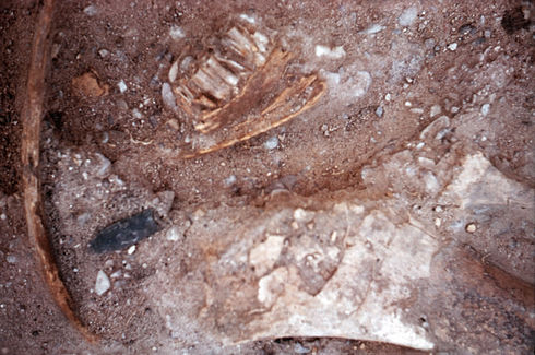
31°23′12″N 110°13′14″W / 31.386667°N 110.220556°WHereford 41 Lehner Mammoth-Kill Site 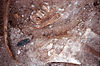
May 28, 1967 Address Restricted Hereford 42 W.D. Martinez General Merchadise Store March 11, 1994 180 San Pedro St.
31°58′02″N 110°17′41″W / 31.967222°N 110.294722°WBenson 43 Joe Mee House August 6, 1987 265 W. Stewart
32°15′17″N 109°49′59″W / 32.254722°N 109.833056°WWillcox 44 Monte Vista Lookout Cabin January 28, 1988 Monte Vista Peak
31°49′30″N 109°18′53″W / 31.825°N 109.314722°WElfrida 45 Morgan House August 18, 1987 2442 E. Maley
32°15′04″N 109°49′47″W / 32.251111°N 109.829722°WWillcox 46 Muheim House January 23, 1979 207 Youngblood Ave.
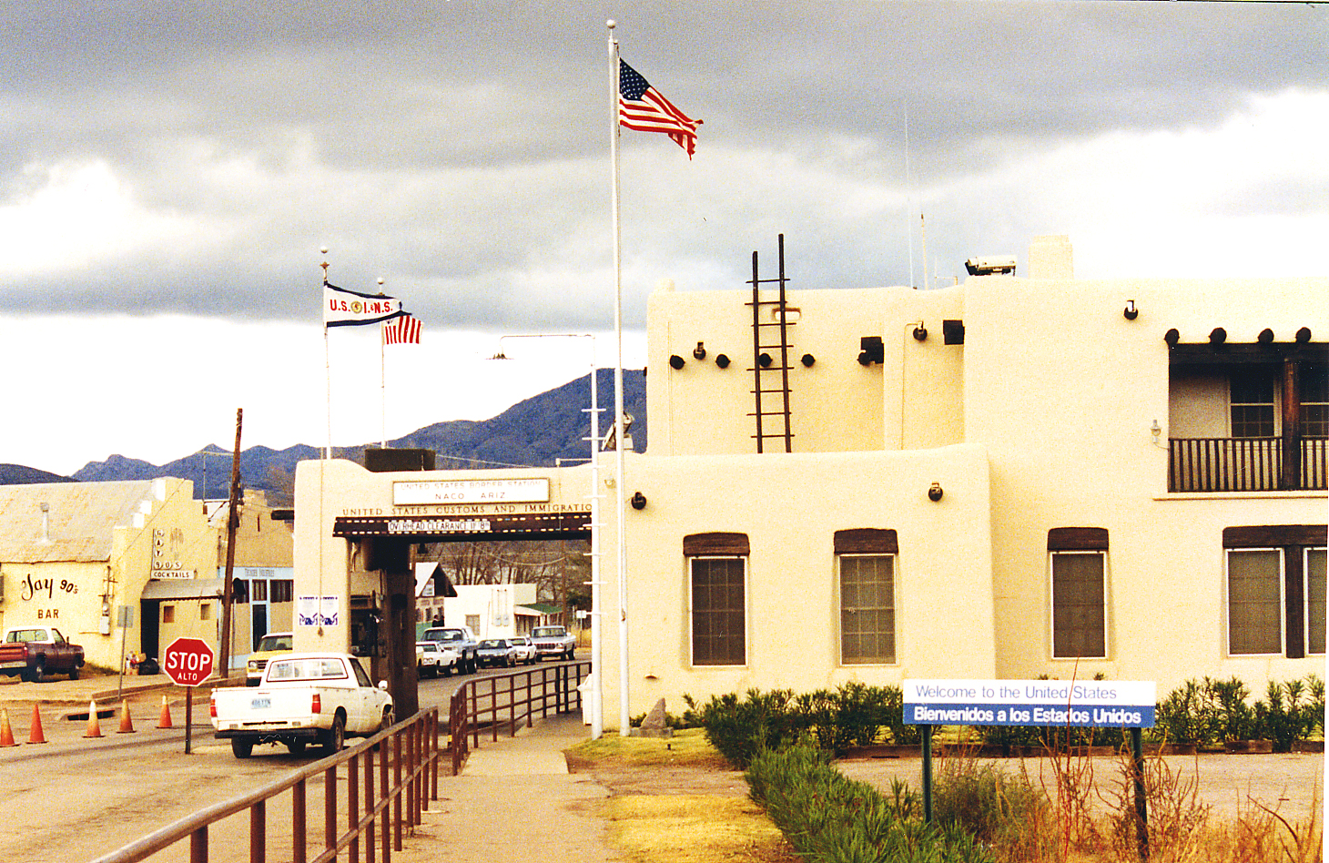
31°26′47″N 109°54′45″W / 31.446389°N 109.9125°WBisbee 47 Naco Border Station 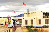
February 19, 1991 106 D St.
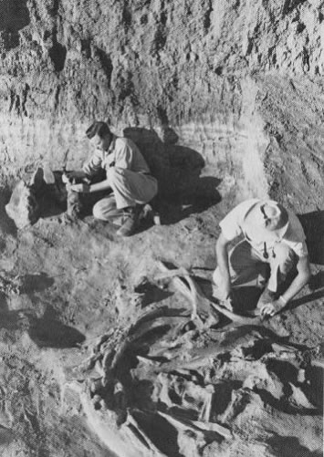
31°20′05″N 109°56′52″W / 31.334722°N 109.947778°WNaco 48 Naco-Mammoth Kill Site 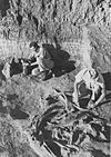
July 21, 1976 Address Restricted Naco First Clovis culture mammoth-kill site found 49 John H. Norton and Company Store March 31, 1983 180 N. Railroad Ave.
32°15′11″N 109°49′49″W / 32.253056°N 109.830278°WWillcox 50 Oasis Court March 11, 1994 363 W. 4th St.
31°58′09″N 110°18′02″W / 31.969167°N 110.300556°WBenson 51 Our Lady of Victory Catholic Church July 21, 2004 Fronting 4th St., between Cedar and Spruce Sts.
31°54′15″N 109°49′19″W / 31.904167°N 109.821944°WPearce 52 Pearce General Store 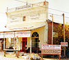
November 16, 1978 Ghost Town and Pearce Rd.
31°54′16″N 109°49′16″W / 31.904444°N 109.821111°WPearce 53 Phelps Dodge General Office Building 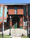
June 3, 1971 Copper Queen Plaza, intersection of Main St. and Brewery Gulch
31°26′31″N 109°54′41″W / 31.441944°N 109.911389°WBisbee 54 Portal Ranger Station June 10, 1993 Forest Rd. 42A southwest of Portal, Coronado National Forest
31°53′56″N 109°09′41″W / 31.898889°N 109.161389°WPortal 55 Quiburi April 7, 1971 Address Restricted Fairbank 56 Railroad Avenue Historic District 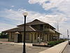
May 27, 1987 Roughly bounded by Curtis Ave., Stewart St., Southern Pacific railroad tracks, and Grant St.
32°15′08″N 109°49′52″W / 32.252222°N 109.831111°WWillcox 57 Redfield-Romine House March 11, 1994 146 E. 6th St.
31°57′59″N 110°17′50″W / 31.966389°N 110.297222°WBenson 58 Rucker Canyon Archeological District March 3, 1995 Address Restricted Douglas 59 Rustler Park Fire Guard Station June 10, 1993 Southeast of Chiricahua National Monument in Coronado National Forest
31°54′10″N 109°16′41″W / 31.902778°N 109.278056°WDouglas 60 Sacred Heart Church February 22, 2002 516 Safford St.
31°42′50″N 110°03′48″W / 31.713889°N 110.063333°WTombstone 61 St. Patrick's Roman Catholic Church September 7, 1995 Oak Ave., on Higgins Hill
31°26′40″N 109°55′19″W / 31.444444°N 109.921944°WBisbee 62 St. Paul's Episcopal Church 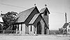
September 22, 1971 Safford and 3rd Sts.
31°42′54″N 110°04′01″W / 31.715°N 110.066944°WTombstone 63 San Bernardino Ranch 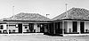
October 15, 1966 17 miles east of Douglas on the international boundary
31°20′12″N 109°16′47″W / 31.336667°N 109.279722°WDouglas National Historic Landmark site associated with early cattle ranching in southern Arizona and northern Mexico 64 Harry Saxon House May 27, 1987 308 S. Haskell
32°15′01″N 109°50′02″W / 32.250278°N 109.833889°WWillcox 65 Schilling Ranch Historic District August 7, 2009 6396 N. Schilling Ranch Rd.
32°19′55″N 110°07′19″W / 32.331944°N 110.121944°WCorral 66 Schwertner House August 25, 1983 124 E. Stewart St.
32°15′11″N 109°49′47″W / 32.253056°N 109.829722°WWillcox 67 Sierra Bonita Ranch 
October 15, 1966 Southwest of Bonita
32°30′36″N 110°02′15″W / 32.51°N 110.0375°WBonita Extends into Graham County 68 Silver Peak Lookout Complex January 28, 1988 Coronado National Forest
31°54′20″N 109°11′56″W / 31.905556°N 109.198889°WPortal 69 J.H. Smith Grocery Store and Filling Station July 21, 2004 1835 Old Ranch Rd.
32°01′38″N 110°02′14″W / 32.027222°N 110.037222°WDragoon 70 Smith-Beck House March 11, 1994 425 Huachuca St.
31°57′54″N 110°17′47″W / 31.965°N 110.296389°WBenson 71 Pablo Soto House August 18, 1987 108 E. Stewart
32°15′12″N 109°49′52″W / 32.253333°N 109.831111°WWillcox 72 Stafford Cabin 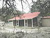
March 31, 1975 30 miles southeast of Willcox in Chiricahua National Monument
32°00′32″N 109°22′07″W / 32.008889°N 109.368611°WWillcox 73 Tombstone City Hall 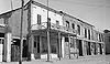
February 1, 1972 315 E. Fremont St.
31°42′48″N 110°04′00″W / 31.713333°N 110.066667°WTombstone 74 Tombstone Courthouse 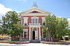
April 13, 1972 219 E. Toughnut
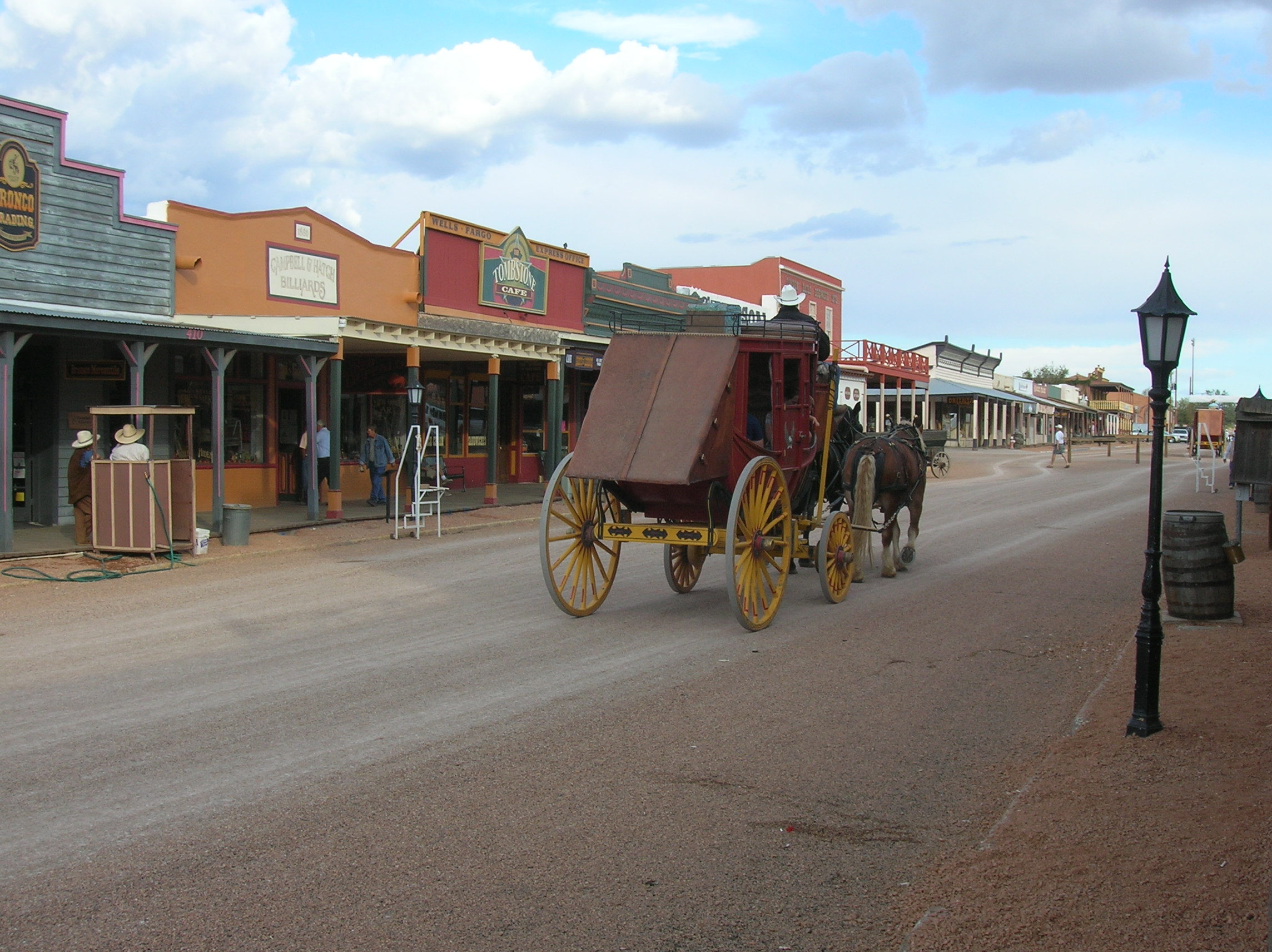
31°42′39″N 110°04′10″W / 31.710833°N 110.069444°WTombstone 75 Tombstone Historic District 
October 15, 1966 U.S. Route 80
31°42′49″N 110°04′05″W / 31.713611°N 110.068056°WTombstone 76 John Treu House September 7, 1995 205 W. Vista, Warren Townsite
31°24′46″N 109°52′45″W / 31.412778°N 109.879167°WBisbee 77 Max Treu Territorial Meat Company March 11, 1994 305 E. 4th St.
31°58′04″N 110°17′39″W / 31.967778°N 110.294167°WBenson 78 US Post Office and Customs House-Douglas Main December 3, 1985 601 10th St.
31°20′41″N 109°33′10″W / 31.344722°N 109.552778°WDouglas 79 Willcox Women's Club May 27, 1987 312 W. Stewart
32°15′17″N 109°50′02″W / 32.254722°N 109.833889°WWillcox 80 J.C. Wilson House August 18, 1987 258 E. Maley
32°15′04″N 109°49′32″W / 32.251111°N 109.825556°WWillcox See also
- List of National Historic Landmarks in Arizona
- National Register of Historic Places listings in Arizona
References
- ^ The latitude and longitude information provided in this table was derived originally from the National Register Information System, which has been found to be fairly accurate for about 99% of listings. For about 1% of NRIS original coordinates, experience has shown that one or both coordinates are typos or otherwise extremely far off; some corrections may have been made. A more subtle problem causes many locations to be off by up to 150 yards, depending on location in the country: most NRIS coordinates were derived from tracing out latitude and longitudes off of USGS topographical quadrant maps created under the North American Datum of 1927, which differs from the current, highly accurate WGS84 GPS system used by Google maps. Chicago is about right, but NRIS longitudes in Washington are higher by about 4.5 seconds, and are lower by about 2.0 seconds in Maine. Latitudes differ by about 1.0 second in Florida. Some locations in this table may have been corrected to current GPS standards.
- ^ "National Register of Historic Places: Weekly List Actions". National Park Service, United States Department of the Interior. Retrieved on November 10, 2011.
- ^ Numbers represent an ordering by significant words. Various colorings, defined here, differentiate National Historic Landmark sites and National Register of Historic Places Districts from other NRHP buildings, structures, sites or objects.
U.S. National Register of Historic Places Topics Lists by states Alabama • Alaska • Arizona • Arkansas • California • Colorado • Connecticut • Delaware • Florida • Georgia • Hawaii • Idaho • Illinois • Indiana • Iowa • Kansas • Kentucky • Louisiana • Maine • Maryland • Massachusetts • Michigan • Minnesota • Mississippi • Missouri • Montana • Nebraska • Nevada • New Hampshire • New Jersey • New Mexico • New York • North Carolina • North Dakota • Ohio • Oklahoma • Oregon • Pennsylvania • Rhode Island • South Carolina • South Dakota • Tennessee • Texas • Utah • Vermont • Virginia • Washington • West Virginia • Wisconsin • WyomingLists by territories Lists by associated states Other Properties on the National Register of Historic Places in Arizona 
Municipalities and communities of Cochise County, Arizona Cities 
Town CDPs Unincorporated
communitiesGhost towns Cascabel | Charleston | Contention City | Fairbank | Gleeson | Paradise | Tres Alamos
Categories:- National Register of Historic Places in Arizona by county
- History of Cochise County, Arizona
-


Wikimedia Foundation. 2010.