- Leupp, Arizona
Infobox Settlement
official_name = Leupp, Arizona
settlement_type = CDP
imagesize =
image_caption =
image_
imagesize =
image_caption =
image_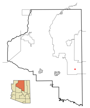
mapsize = 250px
map_caption = Location inCoconino County and the state ofArizona
mapsize1 =
map_caption1 =
subdivision_type = Country
subdivision_type1 = State
subdivision_type2 = County
subdivision_name =United States
subdivision_name1 =Arizona
subdivision_name2 = Coconino
government_type =
leader_title =
leader_name =
established_date =
area_magnitude =
area_total_km2 = 33.9
area_total_sq_mi = 13.1
area_land_km2 = 34.0
area_land_sq_mi = 13.1
area_water_km2 = 0.1
area_water_sq_mi = 0.0
elevation_ft = 4763
elevation_m = 1452
population_as_of = 2000
population_footnotes =
population_total = 970
population_metro =
population_density_km2 = 28.5
population_density_sq_mi = 73.9
timezone = MST
utc_offset = -7
latd = 35 |latm = 17 |lats = 51 |latNS = N
longd = 111 |longm = 0 |longs = 20 |longEW = W
timezone_DST =
utc_offset_DST =
postal_code_type =ZIP code
postal_code = 86035
area_code = 928
blank_name = FIPS code
blank_info = 04-40630
blank1_name = GNIS feature ID
blank1_info = 0024010
footnotes =
website =Leupp ( _nv. Tsiizizii) is a
census-designated place (CDP) in Coconino County,Arizona ,United States . The population was 970 at the 2000 census.Geography
Leupp is located at coor dms|35|17|51|N|111|0|20|W|city (35.297522, -111.005673)GR|1.
According to the
United States Census Bureau , the CDP has a total area of 13.1square mile s (34.0km² ), of which, 13.1 square miles (34.0 km²) of it is land and 0.04 square miles (0.1 km²) of it (0.15%) is water.Demographics
As of the
census GR|2 of 2000, there were 970 people, 228 households, and 206 families residing in the CDP. Thepopulation density was 73.9 people per square mile (28.5/km²). There were 277 housing units at an average density of 21.1/sq mi (8.2/km²). The racial makeup of the CDP was 98.14% Native American, 0.62% White, 0.10% from other races, and 1.13% from two or more races. 1.03% of the population were Hispanic or Latino of any race.There were 228 households out of which 54.8% had children under the age of 18 living with them, 57.9% were married couples living together, 29.8% had a female householder with no husband present, and 9.6% were non-families. 9.2% of all households were made up of individuals and 0.9% had someone living alone who was 65 years of age or older. The average household size was 4.25 and the average family size was 4.53.
In the CDP the population was spread out with 43.7% under the age of 18, 8.8% from 18 to 24, 25.7% from 25 to 44, 17.2% from 45 to 64, and 4.6% who were 65 years of age or older. The median age was 23 years. For every 100 females there were 92.8 males. For every 100 females age 18 and over, there were 85.1 males.
The median income for a household in the CDP was $21,458, and the median income for a family was $29,219. Males had a median income of $28,661 versus $24,531 for females. The
per capita income for the CDP was $8,137. About 29.4% of families and 33.4% of the population were below thepoverty line , including 45.0% of those under age 18 and 43.1% of those age 65 or over.Education
Leupp is zoned to schools in the
Flagstaff Unified School District .Which offers a Preschool to 8th grade curriculum.There is current construction on the rebuilding of the B.I.A. Boarding School across the highway from Leupp Public School.
References
External links
Wikimedia Foundation. 2010.