- Kaibab, Arizona
Infobox Settlement
official_name = Kaibab, Arizona
settlement_type = CDP
imagesize =
image_caption =
image_
imagesize =
image_caption =
image_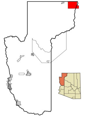
mapsize = 250px
map_caption = Location inMohave County and the state ofArizona
mapsize1 =
map_caption1 =
subdivision_type = Country
subdivision_type1 = State
subdivision_type2 = Counties
subdivision_name =United States
subdivision_name1 =Arizona
subdivision_name2 = Coconino, Mohave
government_type =
leader_title =
leader_name =
established_date =
area_magnitude =
area_total_km2 = 490.8
area_total_sq_mi = 189.5
area_land_km2 = 490.8
area_land_sq_mi = 189.5
area_water_km2 = 0.0
area_water_sq_mi = 0.0
elevation_ft = 4991
elevation_m = 1521
population_as_of = 2000
population_footnotes =
population_total = 275
population_metro =
population_density_km2 = 0.6
population_density_sq_mi = 1.5
timezone = MST
utc_offset = -7
latd = 36 |latm = 54 |lats = 46 |latNS = N
longd = 112 |longm = 40 |longs = 7 |longEW = W
timezone_DST =
utc_offset_DST =
postal_code_type =ZIP code
postal_code = 86022
area_code = 928
blank_name = FIPS code
blank_info = 04-36500
blank1_name = GNIS feature ID
blank1_info = 0042814
footnotes =
website =Kaibab is a
census-designated place (CDP) in Coconino and Mohave counties in theU.S. state ofArizona . The population was 275 at the 2000 census.Geography
Kaibab is located at coor dms|36|54|46|N|112|40|7|W|city (36.912680, -112.668732)GR|1.
According to the
United States Census Bureau , the CDP has a total area of 189.5square mile s (490.9km² ), of which, 189.5 square miles (490.8 km²) of it is land and 0.01% is water.Demographics
As of the
census GR|2 of 2000, there were 275 people, 88 households, and 69 families residing in the CDP. Thepopulation density was 1.5 people per square mile (0.6/km²). There were 116 housing units at an average density of 0.6/sq mi (0.2/km²). The racial makeup of the CDP was 40.00% White, 52.73% Native American, 3.64% from other races, and 3.64% from two or more races. 7.64% of the population were Hispanic or Latino of any race.There were 88 households out of which 53.4% had children under the age of 18 living with them, 44.3% were married couples living together, 28.4% had a female householder with no husband present, and 20.5% were non-families. 19.3% of all households were made up of individuals and 2.3% had someone living alone who was 65 years of age or older. The average household size was 3.13 and the average family size was 3.53.
In the CDP the population was spread out with 44.0% under the age of 18, 8.7% from 18 to 24, 23.3% from 25 to 44, 20.4% from 45 to 64, and 3.6% who were 65 years of age or older. The median age was 22 years. For every 100 females there were 75.2 males. For every 100 females age 18 and over, there were 81.2 males.
The median income for a household in the CDP was $21,458, and the median income for a family was $22,679. Males had a median income of $25,313 versus $16,607 for females. The
per capita income for the CDP was $9,421. About 26.8% of families and 29.5% of the population were below thepoverty line , including 34.9% of those under the age of eighteen and none of those sixty five or over.References
External links
Wikimedia Foundation. 2010.