- National Register of Historic Places listings in Morrison County, Minnesota
-
This is a list of entries on the National Register of Historic Places in Morrison County, Minnesota.
Morrison County is a county located in the central part of the U.S. state of Minnesota
[1] Landmark name Image Date listed Location City or town Summary 1 Ayer Mission Site June 18, 1973 Address Restricted Little Falls 2 Belle Prairie Village Site 
August 14, 1973 Address Restricted Little Falls 3 Burton-Rosenmeier House March 13, 1986 606 1st St., SE.
45°58′15″N 94°21′52″W / 45.970833°N 94.364444°WLittle Falls 4 Church of Our Savior-Episcopal July 17, 1980 113 4th St., NE.
45°58′36″N 94°21′28″W / 45.976667°N 94.357778°WLittle Falls 5 Crow Wing State Park 
July 28, 1970 Off Minnesota Highway 371
46°16′39″N 94°20′40″W / 46.2775°N 94.344444°WBrainerd 6 Fort Duquesne (21-MO-20) November 15, 1984 Address Restricted Little Falls 7 Fort Ripley September 10, 1971 Address Restricted Little Falls 8 Charles A. Lindbergh House and Park 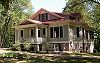
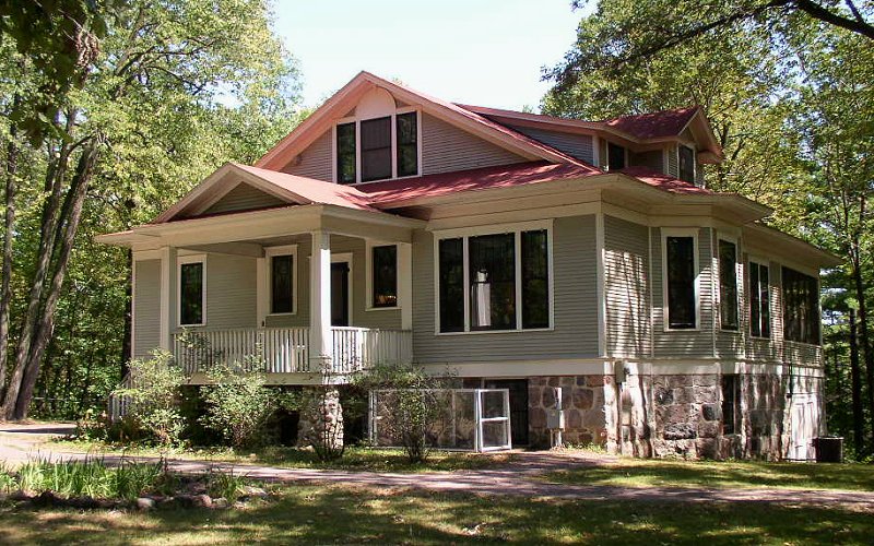
November 20, 1970 1620 Lindbergh Dr. S.
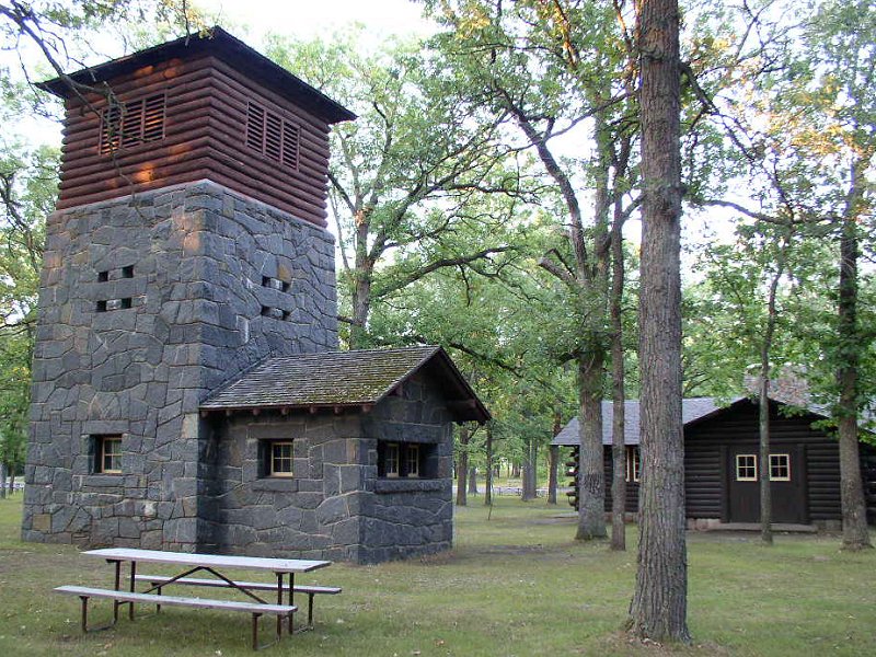
45°57′24″N 94°23′11″W / 45.956667°N 94.386389°WLittle Falls 9 Charles A. Lindbergh State Park WPA/Rustic Style Historic Resources 
October 25, 1989 Off County Highway 52, south of Little Falls
45°57′27″N 94°23′23″W / 45.9575°N 94.389722°WLittle Falls 10 Little Falls Carnegie Library November 3, 1980 108 3rd St., NE.
45°58′36″N 94°21′31″W / 45.976667°N 94.358611°WLittle Falls 11 Little Falls Commercial Historic District 
July 22, 1994 Roughly 1st St., SE. from 1st Ave, SE. to 1st Ave., NE.
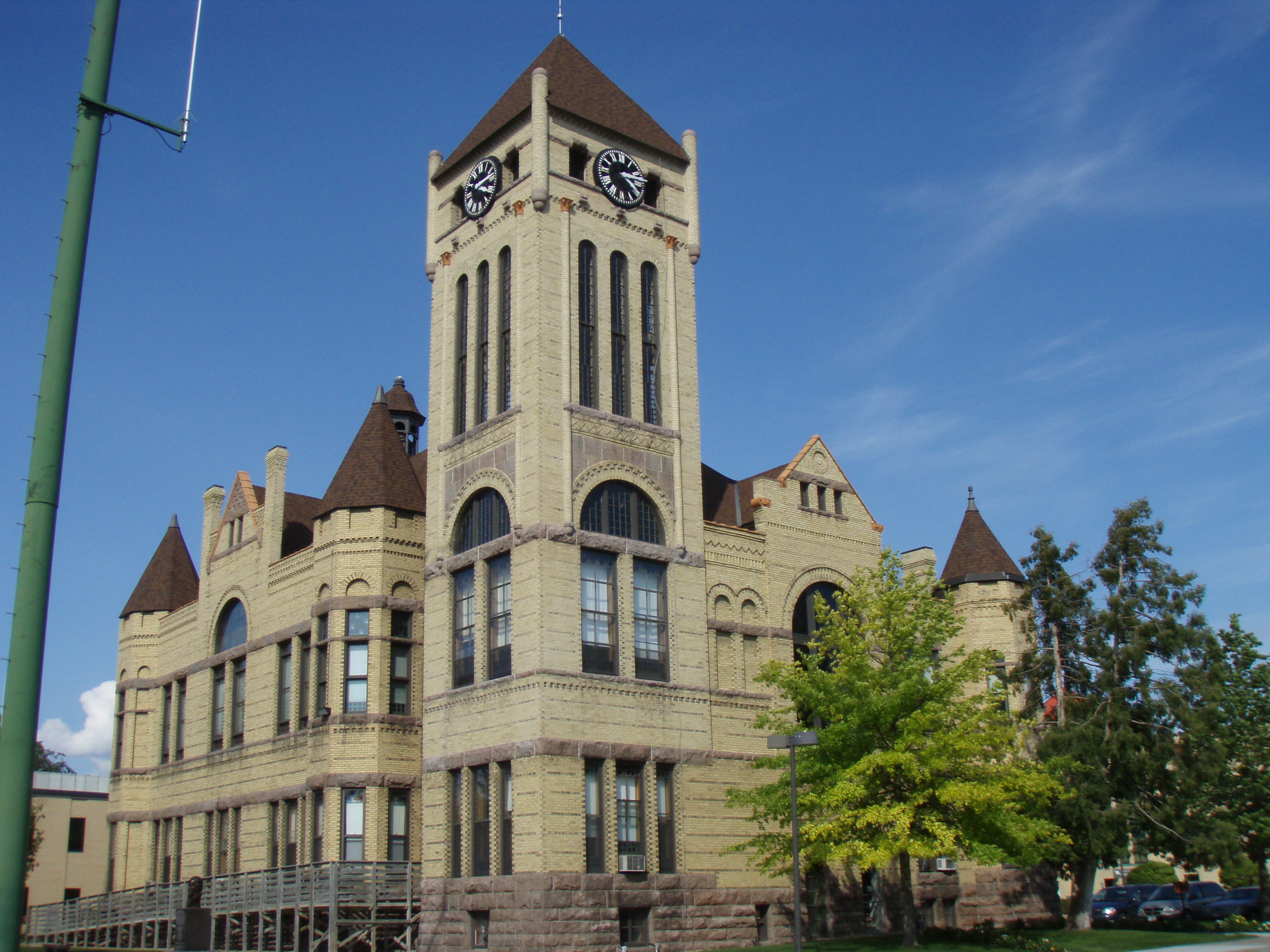
45°58′35″N 94°21′46″W / 45.976389°N 94.362778°WLittle Falls 12 Morrison County Courthouse 
December 5, 1978 107 2nd St., SE.
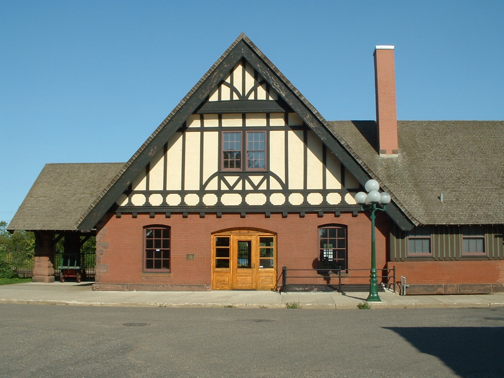
45°58′32″N 94°21′38″W / 45.975556°N 94.360556°WLittle Falls 13 Northern Pacific Railway Depot 
September 5, 1985 200 1st St., NW.
45°58′42″N 94°22′11″W / 45.978333°N 94.369722°WLittle Falls 14 Our Lady of the Angels Academy December 28, 2005 18801 Riverwood Dr.
46°02′05″N 94°20′16″W / 46.034722°N 94.337778°WLittle Falls 15 Pelkey Lake Site October 2, 1973 Address Restricted Little Falls 16 Zebulon Pike's 1805-1806 Wintering Quarters July 11, 1988 Address Restricted Little Falls 17 Pine Tree Lumber Company Office Building 
September 5, 1985 735 1st St., NE.
45°59′04″N 94°21′37″W / 45.984444°N 94.360278°WLittle Falls 18 Rice Lake Prehistoric District October 2, 1973 Address Restricted Little Falls 19 St. Joseph's Church-Catholic September 5, 1985 Main St.
45°58′48″N 94°06′12″W / 45.98°N 94.103333°WPierz 20 Stanchfield Logging Camp February 12, 1999 Address Restricted Little Falls 21 Swan River Village Site October 2, 1973 Address Restricted Little Falls 22 William Warren Two Rivers House Site and Peter McDougall Farmstead December 7, 1974 County Road 231
45°50′36″N 94°20′49″W / 45.843333°N 94.346944°WRoyalton 23 Charles A. Weyerhaeuser and Musser September 5, 1985 Highland Ave.
45°58′15″N 94°21′57″W / 45.970833°N 94.365833°WLittle Falls 24 Almond A. White House March 13, 1986 Cleveland and Beaulieu Sts.
46°20′11″N 94°38′27″W / 46.336389°N 94.640833°WMotley See also
Main article: List of Registered Historic Places in MinnesotaReferences
- ^ Numbers represent an ordering by significant words. Various colorings, defined here, differentiate National Historic Landmark sites and National Register of Historic Places Districts from other NRHP buildings, structures, sites or objects.
Nord, Mary Ann (2003). The National Register of Historic Places in Minnesota. Minnesota Historical Society. ISBN 0-87351-448-3.
External links
- A list of the above sites, with street addresses and other information, is available at Morrison County, MN listing of National Register of Historic Places.com, a private site serving up NRHP information.
U.S. National Register of Historic Places Topics Lists by states Alabama • Alaska • Arizona • Arkansas • California • Colorado • Connecticut • Delaware • Florida • Georgia • Hawaii • Idaho • Illinois • Indiana • Iowa • Kansas • Kentucky • Louisiana • Maine • Maryland • Massachusetts • Michigan • Minnesota • Mississippi • Missouri • Montana • Nebraska • Nevada • New Hampshire • New Jersey • New Mexico • New York • North Carolina • North Dakota • Ohio • Oklahoma • Oregon • Pennsylvania • Rhode Island • South Carolina • South Dakota • Tennessee • Texas • Utah • Vermont • Virginia • Washington • West Virginia • Wisconsin • WyomingLists by territories Lists by associated states Other  Category:National Register of Historic Places •
  Portal:National Register of Historic PlacesCategories:
- Morrison County, Minnesota
- National Register of Historic Places in Minnesota by county
- Buildings and structures in Morrison County, Minnesota


Wikimedia Foundation. 2010.