- District Council of Mount Barker
-
Mount Barker Council
South Australia
Population: 29,864(2009)[1] Established: 1840 Mayor: Ann Ferguson Council Seat: Mount Barker Region: Adelaide Hills State District: Kavel, Heysen Federal Division: Mayo 
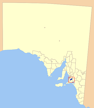
LGAs around Mount Barker Council: Adelaide Hills Adelaide Hills Mid Murray Onkaparinga Mount Barker Council Murray Bridge Alexandrina Alexandrina Alexandrina The District Council of Mount Barker is a Local Government Area centred on the town of Mount Barker just outside of the Adelaide metropolitan area in South Australia.
Contents
Towns and localities
Towns and localities in the District Council of Mount Barker include:
- Blakiston
- Brukunga
- Bugle Ranges
- Callington
- Echunga
- Hahndorf
- Harrogate
- Jupiter Creek
- Kanmantoo
- Littlehampton
- Macclesfield
- Meadows
- Mount Barker
- Nairne
- Prospect Hill
- Totness
- Wistow
2006 Council Elections
During November 2006 the District Council of Mount Barker was re-elected. Ann Ferguson won the position of Mayor. The previous mayor was Tony Wales. Ann Ferguson received 2944 votes, Tony Wales received 1895 and Gary Scalmera received 944 votes.
The election had the following results for the three wards of the council:[2]
South Ward Candidate Votes Roger Irvine 405 elected Margaret Wilksch 233 elected Mike Rigby 207 Jenni Dowding 173 Alison Kelman 102 Central Ward Candidate Votes Bruce Gamble 408 elected Joan Zanker 372 elected Susan Hamilton 354 elected Michael Bails 336 elected Nathan Rogers 215 Laurie Caruana 202 Doug McCarty 200 John Fulbrook 190 Darren Mead 98 North Ward Candidate Votes Jason Kuchel 449 elected Kathy Brazer-De Laine 348 elected Lindsay Campbell 317 elected Lyn Stokes 270 elected Jeanette Allen 306 Colin Clarke 213 David Skey 180 Peter Chester 174 Note: Jeanette Allen received more first preferences, but Lyn Stokes was elected due to preference from other candidates
References
- ^ Australian Bureau of Statistics (30 March 2010). "Regional Population Growth, Australia, 2008–09". http://www.abs.gov.au/ausstats/abs@.nsf/Latestproducts/3218.0Main%20Features72008-09?opendocument&tabname=Summary&prodno=3218.0&issue=2008-09&num=&view=. Retrieved 3 June 2010.
- ^ The Courier, November 15, 2006, Page 1 and 5
External links
Local Government Areas of South Australia Metropolitan Adelaide Adelaide · Adelaide Hills · Burnside · Campbelltown · Charles Sturt · Gawler · Holdfast Bay · Marion · Mitcham · Norwood Payneham & St Peters · Onkaparinga · Playford · Port Adelaide Enfield · Prospect · Salisbury · Tea Tree Gully · Unley · Walkerville · West TorrensEyre Peninsula Ceduna · Cleve · Elliston · Franklin Harbour · Kimba · Lower Eyre Peninsula · Port Augusta · Port Lincoln · Streaky Bay · Tumby Bay · Wudinna · WhyallaCentral Barossa · Barunga West · Clare and Gilbert Valleys · Copper Coast · Flinders Ranges · Goyder · Light · Mallala · Mount Remarkable · Northern Areas · Orroroo Carieton · Peterborough · Port Pirie · Wakefield · Yorke PeninsulaSouthern and Hills Murray Mallee Southeast Outback Coordinates: 35°03′50″S 138°51′29″E / 35.0638888889°S 138.858055556°E
Categories:- Populated places established in 1840
- 1840 establishments in Australia
- South Australia geography stubs
- Local Government Areas of South Australia
Wikimedia Foundation. 2010.