Callington, South Australia
- Callington, South Australia
Infobox Australian Place | type = town
name = Callington
state = sa
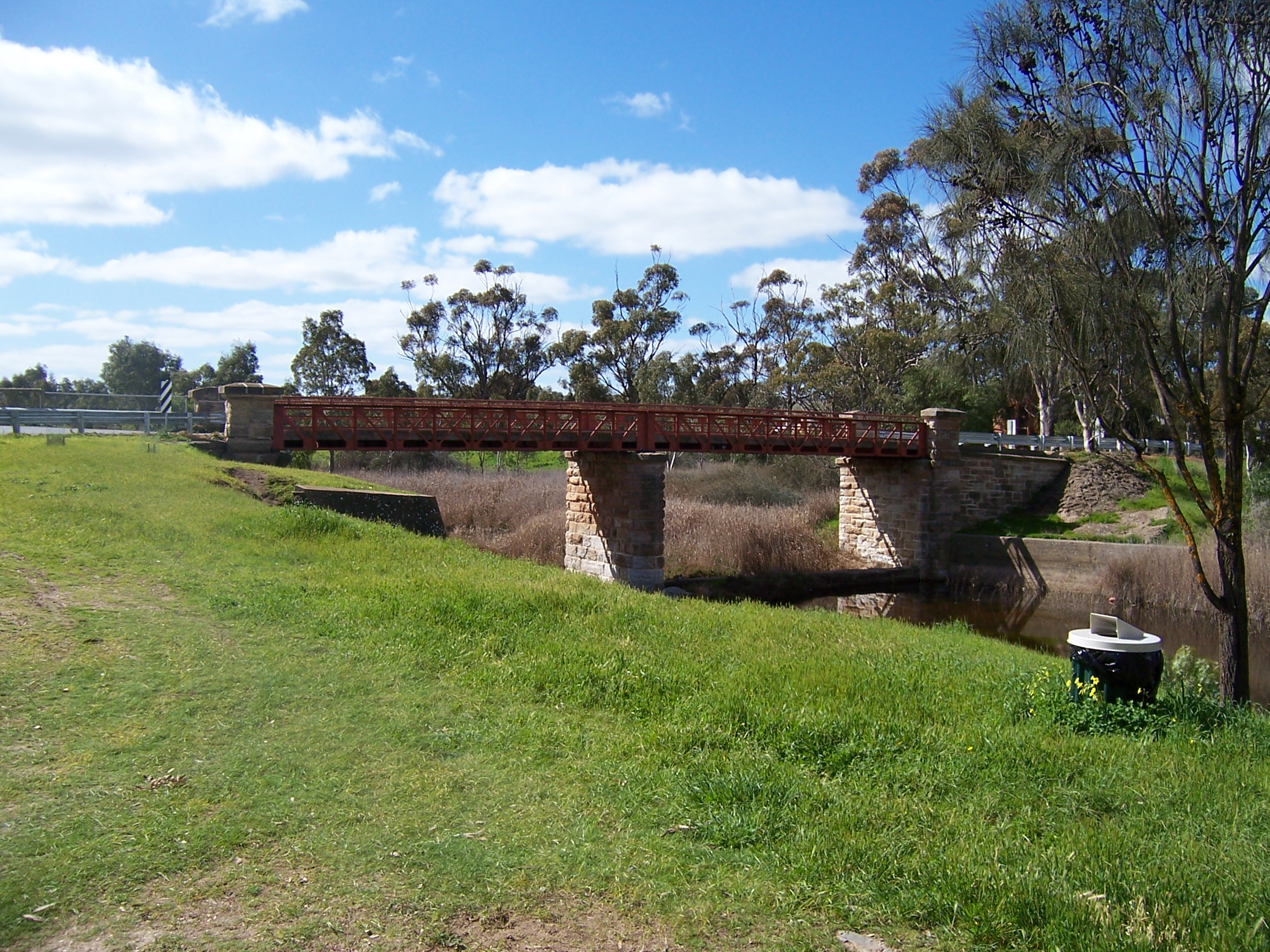
caption = Single lane Callington Bridge over River Bremer
lga = District Council of Mount Barker & Rural City of Murray Bridge
postcode = 5254
est = 1847
pop = 325
elevation=
maxtemp =
mintemp =
rainfall =
stategov = Kavel
fedgov = Mayo
dist1 = 60
dir1 = east
location1= Adelaide
Callington is a small town in the Adelaide Hills, in South Australia. Callington is situated on the Bremer river, and is adjacent to the South Eastern Freeway. Callington is located within the state electoral district of Kavel and the federal division of Mayo
History
Callington was formed after the discovery of copper in the area in 1850. It was named after the copper mining town Callington in Cornwall, UK.
Demographics
Culture
Recreation
References
* [http://members.tripod.com/sa928/index.html Callington South Australia]
* [http://www.postcards.sa.com.au/features/callington.html Postcards - Previous feature: Callington]
Wikimedia Foundation.
2010.
Look at other dictionaries:
Monarto, South Australia — Monarto South Australia … Wikipedia
Bremer River (South Australia) — Bremer RiverVorlage:Infobox Fluss/GKZ fehlt Lage South Australia (Australien) Flusssystem Murray River Abfluss über Murray River → I … Deutsch Wikipedia
Mount Barker, South Australia — Mount Barker South Australia The southern entrance to the Mount Barker Central mall … Wikipedia
Callington — may refer to: *Callington, Cornwall, UK **Callington (UK Parliament constituency), a former constituency at Callington, Cornwall *Callington, South Australia … Wikipedia
Bremer River (South Australia) — Infobox River river name = Bremer River image size = caption = origin = Mount Lofty Ranges mouth = Murray Mouth basin countries = Australia length = elevation = 431 m mouth elevation = 0 m discharge = watershed = The Bremer River is a river in… … Wikipedia
Mount Barker Junction railway station, South Australia — Mount Barker Junction railway station is a railway station in South Australia located on the Melbourne Adelaide railway, 50km (31mi 25ch) by rail from Adelaide Railway Station. It is west of the junction of the Victor Harbor line. The station… … Wikipedia
List of cities and towns in South Australia — This is a list of town and locality names in South Australia outside of the metropolitan postal area of Adelaide.:For a list of suburbs in metropolitan areas of Adelaide, see lists inside following individual city council articles: City of… … Wikipedia
List of postcodes in South Australia/numeric sort — Postcodes are used by Australia Post to identify postal districts in Australia. This list is sorted numerically to facilitate seeing which towns/suburbs share a postcode.5000s inner suburbs* 5000 Adelaide * 5001 GPO Boxes * 5005 University of… … Wikipedia
Nairne railway station, South Australia — Nairne railway station was located in the Adelaide Hills town of Nairne, about 55km (34mi, 37ch) from Adelaide Railway Station The station closed in the 1960 s when country passenger services from Adelaide ceased.Fact|date=May 2008 History Nairne … Wikipedia
South Eastern Freeway — Infobox Australian Road road name = South Eastern Freeway route route route photo = caption = Formerly length = 66 direction = West East start = finish = est = through = Stirling, Bridgewater, Hahndorf, Mt. Barker, Callington route = exits =… … Wikipedia