- Flinders Ranges Council
Infobox Australian Place | type = lga
name = Flinders Ranges Council
state = sa
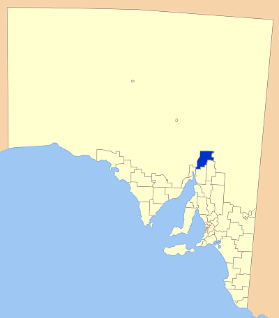
caption = Location of the Flinders Ranges Council
pop =
area = 4198
est =
seat =
mayor = Maxwell McHugh
region =
logosize =
url = http://www.flindersrangescouncil.sa.gov.au/
stategov =Electoral district of Stuart
fedgov =Division of Grey
near-nw = Outback Areas
near-n = Outback Areas
near-ne = Outback Areas
near-w = Outback Areas
near-e = Outback Areas
near-sw =City of Port Augusta
near-s =District Council of Mount Remarkable
near-se =District Council of Orroroo Carrieton Flinders Ranges Council is a local government area in the
Flinders Ranges ofSouth Australia .The council area is approximately 100 km from north to south, and 45 km from east to west, with a total area of 4,198 square kilometres.
The main towns covered by the council area are Hawker and Quorn.
The neighbouring councils to the south are
City of Port Augusta ,District Council of Mount Remarkable andDistrict Council of Orroroo Carrieton . The rest of the council area is surrounded by areas administered by theOutback Areas Community Development Trust .Flinders Ranges council is entirely in the state electorate of Stuart and the federal
Division of Grey .External links
* [http://www.flindersrangescouncil.sa.gov.au/ Official site]
Wikimedia Foundation. 2010.