Barossa Council

Barossa Council

Infobox Australian Place | type = lga
name = Barossa District Council
state = sa


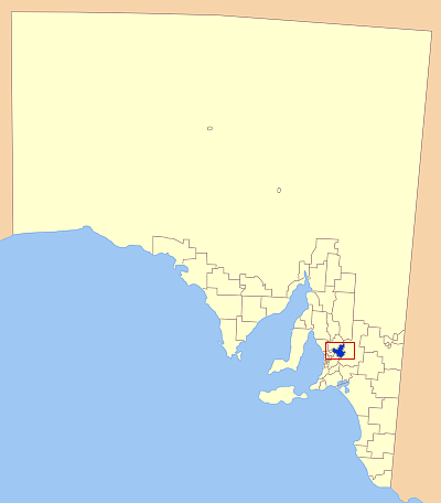
caption = Location of the Barossa Council in blue
pop = 20,386 (2004)
density = 22.4
area = 912
est = 1996
seat = Angaston
mayor = Brian Hurn
region = Barossa Valley

url = http://www.barossa.sa.gov.au/
stategov = Schubert
fedgov = Wakefield
near-nw = Town of Gawler
near-n = Light Regional Council
near-ne = Mid Murray Council
near-e = Mid Murray Council
near-w = City of Playford
near-sw = Adelaide Hills Council
near-s = Adelaide Hills Council
near-se = Mid Murray Council

Barossa Council is a Local Government Area in the Barossa Valley in South Australia. It was proclaimed on 1 July 1996 through the amalgamation of several former councils:
*District Council of Angaston
*District Council of Barossa
*District Council of Tanunda
*part of the District Council of Mount Pleasant (from 1st July 1997)

The council area covers 912 square kilometres and has a population of almost 20,000.

Townships in the council area include
* Angaston
* Eden Valley
* Lyndoch
* Moculta
* Mount Pleasant
* Nuriootpa
* Penrice
* Springton
* Stockwell
* Tanunda
* Williamstown

Neighbouring councils are
*Mid Murray Council
*Adelaide Hills Council
* City of Playford
*Town of Gawler
*Light Regional Council

External links

* [http://www.barossa.sa.gov.au/ Official website]
* [http://www.lga.sa.gov.au/site/page.cfm?c=4133 Local Government Association]


Wikimedia Foundation. 2010.

Игры ⚽ Поможем решить контрольную работу

Look at other dictionaries:

  • Barossa Council — The Barossa Council Lage des Barossa Council in South Australia Gliederung …   Deutsch Wikipedia

  • Barossa Valley — Basisdaten Bundesstaat South Australia Geografische Lage …   Deutsch Wikipedia

  • Barossa Valley — The Barossa Valley is a major wine producing region and tourist destination of South Australia, located 60 km northeast of Adelaide. It is the valley formed by the North Para River, and the Barossa Valley Way is the main road through the valley,… …   Wikipedia

  • Bethany (Barossa Valley) — Barossa Valley Basisdaten Bundesstaat South Australia Geografische Lage …   Deutsch Wikipedia

  • Nuriootpa (Barossa Valley) — Barossa Valley Basisdaten Bundesstaat South Australia Geografische Lage …   Deutsch Wikipedia

  • Tanunda (Barossa Valley) — Barossa Valley Basisdaten Bundesstaat South Australia Geografische Lage …   Deutsch Wikipedia

  • Conseil de Barossa — 34° 30′ S 139° 03′ E / 34.5, 139.05 …   Wikipédia en Français

  • Light Regional Council — Infobox Australian Place | type = lga name = Light Regional Council state = sa caption = Location of Light Regional Council in blue pop = [http://www.abs.gov.au/ausstats/abs@census.nsf/4079a1bbd2a04b80ca256b9d00208f92/c2694854f21d09ebca256bc000145… …   Wikipedia

  • Adelaide Hills Council — Infobox Australian Place | type = lga name = Adelaide Hills Council state = sa caption = pop = 36,629 density = 46 area = 795.08 est = seat = Woodside mayor = region = Adelaide Hills, Metropolitan Adelaide url = http://www.ahc.sa.gov.au stategov …   Wikipedia

  • Mid Murray Council — South Australia Location of the Mid Murray Council in SA Population …   Wikipedia

Share the article and excerpts

Direct link
Do a right-click on the link above
and select “Copy Link”