- Nuriootpa, South Australia
-
Nuriootpa
South Australia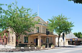
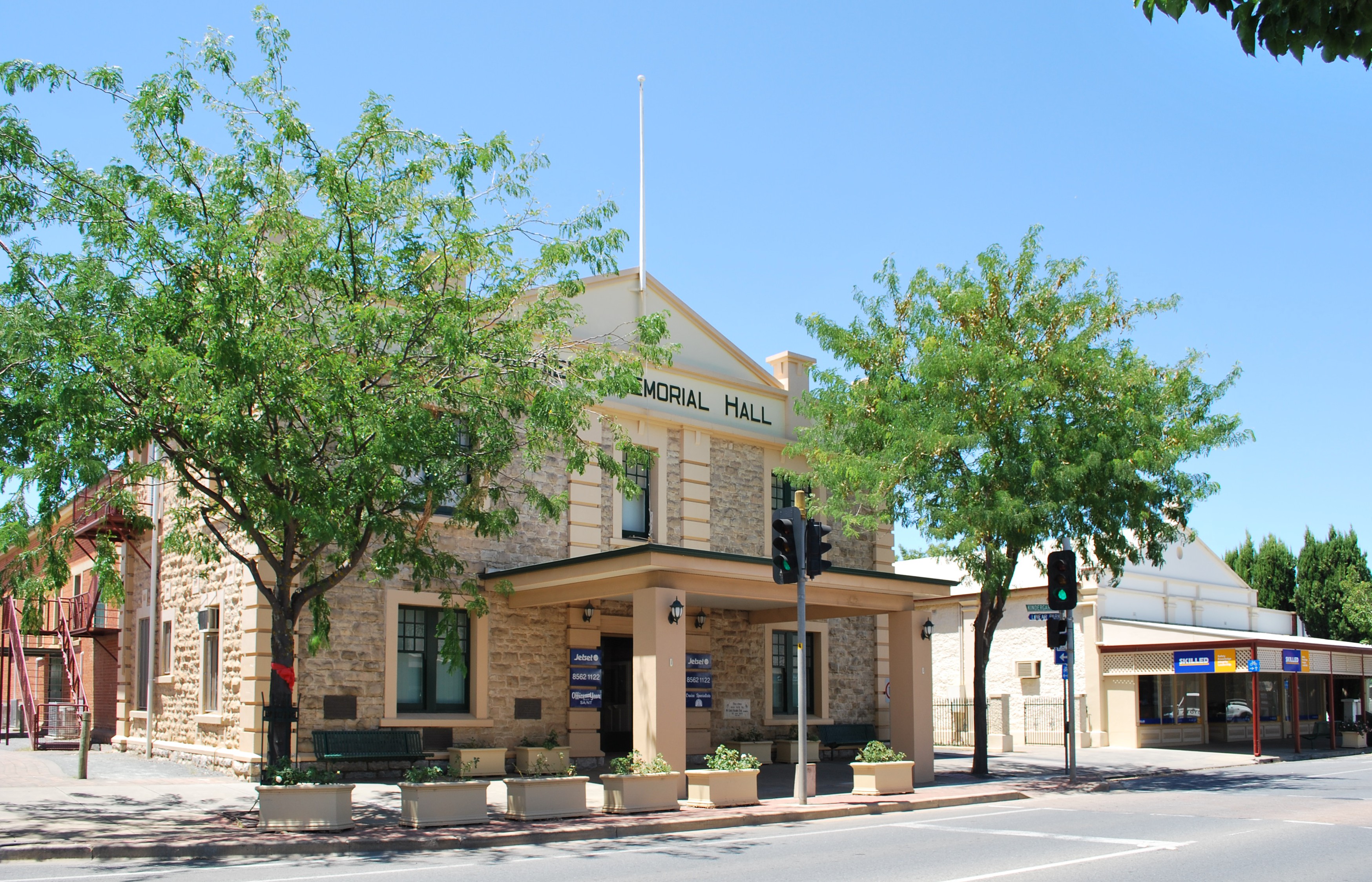
Memorial hall
 Nuriootpa
Population: 4,414[1] Established: 1854 [2] Postcode: 5355 [3] Coordinates: 34°28′S 138°59′E / 34.467°S 138.983°E Location: 74 km (46 mi) North East of Adelaide via 
LGA: Barossa Council, Light Regional Council State District: Schubert Federal Division: Barker, Wakefield Nuriootpa is the major commercial centre in the Barossa Valley in South Australia, about an hour's drive north of the capital, Adelaide, and 77 kilometres by rail. The name of the town is reputed to be the local Aboriginal word for "meeting place".
Nuriootpa is situated at the north end of the Barossa Valley, near the Sturt Highway and has a population of almost 4500 people, making it the largest town in the area. It is a picturesque town, with grape vines growing on some of the buildings in the main streets, and vineyards surrounding the town. This has led to some contention in recent years[citation needed], as the town is growing, and new housing estates are being built on land formerly occupied by the vineyards which made the town attractive in the first place. It is also home to some very famous wineries including Penfolds, Elderton, Kaesler Wines, and Wolf Blass.
Since the 1930s, Nuriootpa has often been cited as a textbook example of inspired community development. The town's community owned and operated hotel has funded many important public facilities, including the Senior Citizens' Club, the swimming pool, the kindergarten and recreation areas. The short-lived progressive Adelaide movement Common Cause arranged a visit by future Prime Minister Ben Chifley to Nuriootpa in 1944 which led him, inspired by its approach, to promote the town as a model for community co-operation. The prominent Adelaide architect Louis Laybourne-Smith prepared a plan for the town's recreation and education area, known as its 'War Memorial Community Centre', at this time. Much of this plan has been realised, including Laybourne-Smith's unusual 'fan-shaped' Olympic-sized pool.
Nuriootpa is in the Barossa Council, although the northern outskirts are in the Light Regional Council. It is in the state electoral district of Schubert (and Light for the outskirts) and the federal Division of Barker (and Division of Wakefield for the outskirts in the Light Regional Council). The postcode is 5355.
Contents
Motor sport
The 1950 Australian Grand Prix, which was Australia’s premier motor race of that year, was held on a temporary course utilising roads in and around the town of Nuriootpa on 2 January 1950. The race was won by Doug Whiteford driving a Ford V8 Special.[4] [5]
Community Organisations
Nuriootpa has a number of community organisations (including):
- Nuriootpa Rover Football Club [1]
- Nuriootpa Tennis Club
- Nuriootpa Cricket Club
- Tigers Basketball Club
- Nuriootpa Town Band [2]
- Nuriootpa CFS
References
- ^ Australian Bureau of Statistics (25 October 2007). Nuriootpa (Urban Centre/Locality). 2006 Census Quickstats. Retrieved on 2008-05-29
- ^ Nurioopta Sydney Morning Herald - Travel smh.com.au. Retrieved on 2008-05-29
- ^ Nuriootpa Postcode Australia Post. Retrieved on 2008-05-29
- ^ Howard, Graham (1986). "1950". In Howard, Graham. The Official 50-race history of the Australian Grand Prix. Gordon, NSW: R & T Publishing. pp. 148–157. ISBN 0 9588464 0 5.
- ^ Nuriootpa “Grand Prix” circuit Retrieved from http://www.tasman-series.com on 10 November 2009
- H. C. Coombs, Trial Balance: issues of my working life Sun Books, South Melbourne 1981 p. 61
- A Township Starts to Live Common Cause, Adelaide 1945 (70 pages)
See also
- Barossa Valley (wine)
Towns and localities of the Barossa Council Altona · Angaston · Argent Town · Bald Hill · Barossa · Barossa Goldfields · Barossa Reservoir · Barossa Valley · Bethany · Bilyara · Cockatoo Valley · Collingrove · Concordia · Craneford · Cromer · Dorrien · Eden Valley · Flaxman Valley · Kalbeeba · Krondorf · Langmeil · Light Pass · Lone Pine · Lyndoch · Moculta · Mount Crawford · Mount Kitchener · Mount McKenzie · Mount Pleasant · Nuriootpa · Parrot Hill · Penrice · Pewsey Vale · Rocky Gully · Rosedale · Rowland Flat · Sandy Creek · South Para Reservoir · Springton · Stockwell · Tanunda · Tarrawatta · Taunton · Vine Vale · Warren Reservoir · Williamstown · WiltonTowns and localities of the Light Regional Council Allendale North · Bagot Well · Belvidere · Bethel · Buchfelde · Daveyston · Ebenezer/Neukirch · Fords · Freeling · Gawler Belt · Gawler River · Gomersal · Greenock · Hamilton · Hansborough · Hewett · Kangaroo Flat · Kapunda · Kingsford · Koonunga · Koonunga Hill · Linwood · Magdalla · Marananga · Moppa · Morn Hill · Nain · Nuriootpa · Pinkerton Plains · Rosedale · Roseworthy · Rowland Flat · Seppeltsfield · Sheoak Log · Saint Johns · Saint Kitts · Stonewell · Tanunda · Templers · Ward Belt · Wasleys · WoolshedsCategories:- Towns in South Australia
- Australian Aboriginal placenames
- Motorsport venues in Australia
- Barossa Valley
- South Australia geography stubs

Wikimedia Foundation. 2010.