- Tatiara District Council
Infobox Australian Place | type = lga
name = Tatiara District Council
state = sa
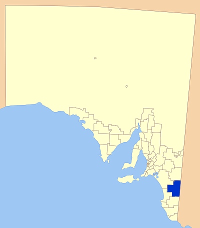
caption = Location of Tiatara District Council in blue
pop = 6660
density =
area = 6476
est = 1876
seat = Bordertown
mayor = John Ross
region = NorthernLimestone Coast
 |100px
url = http://www.tatiara.sa.gov.au
stategov = MacKillop
fedgov = Barker
near-nw =The Coorong District Council
near-n =Southern Mallee District Council
near-ne =
near-e = "West Wimmera (Vic)"
near-w =
near-sw =Kingston District Council
near-s =Naracoorte Lucindale Council
near-se =Tatiara District Council is a local government area located in eastern
South Australia , about 100km north of theLimestone Coast . The name Tatiara is said to mean "The good country", a phrase which dates back to the areas first inhabitants. It is also one of the largest local government areas inSouth Australia at 6476km². The district's economy is based primarily onagriculture , withcereal crops such aswheat ,barley andoats withlivestock such assheep ,cattle andpigs prominent.History
The Tatiara country was opened up by European settlers in the 1840s for
grazing purposes, with the township of Bordertown established in 1852, slowly expanding as more graziers moved to the area.After significant growth in the area, the District Council of Tatiara was formed in 1876. In 1884, a neighbouring council was established, the District Council of Wirrega, however this was short lived and in 1888, it was amalgamated into the Tatiara District Council.Citation
last = Historical Research Pty Ltd & Austral Archaeology
first =
author-link =
last2 =
first2 =
author2-link =
title = Tatiara Heritage Survey: Report to the District Council of Tatiara
date =
year =
url = http://www.tatiara.sa.gov.au/webdata/resources/files/Heritage_report.pdf
access date = 2007-04-28 ]In the years following, a number of new towns including Keith and Padthaway were established, and grew to their current sizes.
Localities
The district encompasses a number of towns including the council seat Bordertown. The full list of towns is:
*Bordertown
*Keith
*Mundulla
*Padthaway
*WolseleyWith other a number of smaller areas including:Banealla, Bangham, Brecon, Brimbago, Buckingham, Cangara, Cannawigara, Carew, Custon, Geegeela, Jack's Camp, Keith, Kongal, Lowan Vale, Makin, Moonkoora, Mount Rescue, Nalang, Pooginagoric, Sherwood, Swedes Flat, Wampoony, Western Flat, Willalooka and Wirrega.
Facilities
The district has most of the usual facilities including a range of facilities for
tourists and travellers. Accommodation is available in the major towns in the form of Hotels andCaravan Parks with a variety of shops such assupermarkets , bakeries and roadhouses for supplies.Citation
last = Tiatara District Council
first =
author-link =
last2 =
first2 =
author2-link =
title = Tatiara Touism
date =
year =
url = http://www.tatiara.sa.gov.au/site/page.cfm?u=203
access date = 2007-04-28 ]The district possesses a range of sporting facilities including a
golf course,basketball andtennis courts and a football andcricket oval, with clubs established for those sports. Health facilities include a hospital and dentist, with the area also having a primary and high school.Elected Members
Mayor : John RossCEO : Robert HarknessCouncillors :
*Janet Allen
*Richard Vickery
*Russell Davis
*Jo Edwards
*Graham Excell
*Janice McLellan
*Mark Murphy
*Diana Penniment
*John Ross
*Tim WeiReferences
External links
* [http://www.tatiara.sa.gov.au/site/page.cfm?u=115&areaId=2&s=search Council Site]
* [http://www.tatiara.sa.gov.au/site/page.cfm?u=203 Tourism Page]
Wikimedia Foundation. 2010.