- Placerville, California
-
City of Placerville — City — El Dorado County Courthouse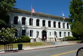
SealNickname(s): Old Hangtown Location of Placerville in California.
Coordinates: 38°43′47″N 120°47′55″W / 38.72972°N 120.79861°WCoordinates: 38°43′47″N 120°47′55″W / 38.72972°N 120.79861°W Country  United States
State  California
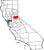
County El Dorado Government – Mayor Mark Acuna Area[1] – Total 5.813 sq mi (15.054 km2) – Land 5.812 sq mi (15.052 km2) – Water 0.001 sq mi (0.002 km2) 0.01% Elevation 2,187 ft (667 m) Population (2010) – Total 10,389 – Density 1,787.2/sq mi (690.1/km2) Time zone PST (UTC-8) – Summer (DST) PDT (UTC-7) ZIP code 95667 Area code(s) 530 FIPS code 06-57540 GNIS feature ID 0277577 Website http://www.cityofplacerville.org/ Placerville (pronounced PLASS-er-ville; formerly Old Dry Diggings, Dry Diggings, and Hangtown[2]) is the county seat of El Dorado County, California. The population was 10,389 at the 2010 census, up from 9,610 at the 2000 census. It is part of the Sacramento–Arden-Arcade–Roseville Metropolitan Statistical Area.
Contents
Geography
Placerville, is located at 38°43′45″N 120°48′11″W / 38.729267°N 120.803000°W.[3] It is located along U.S. Route 50 where it crosses State Route 49 and is the location of several traffic signals along the highway, which is otherwise a freeway.
According to the United States Census Bureau, the city has a total area of 5.8 square miles (15 km2), over 99% of it land.
It is about 660 meters (2,187 ft) above sea level, and is in the Sierra Nevada foothills.
Demographics
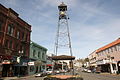
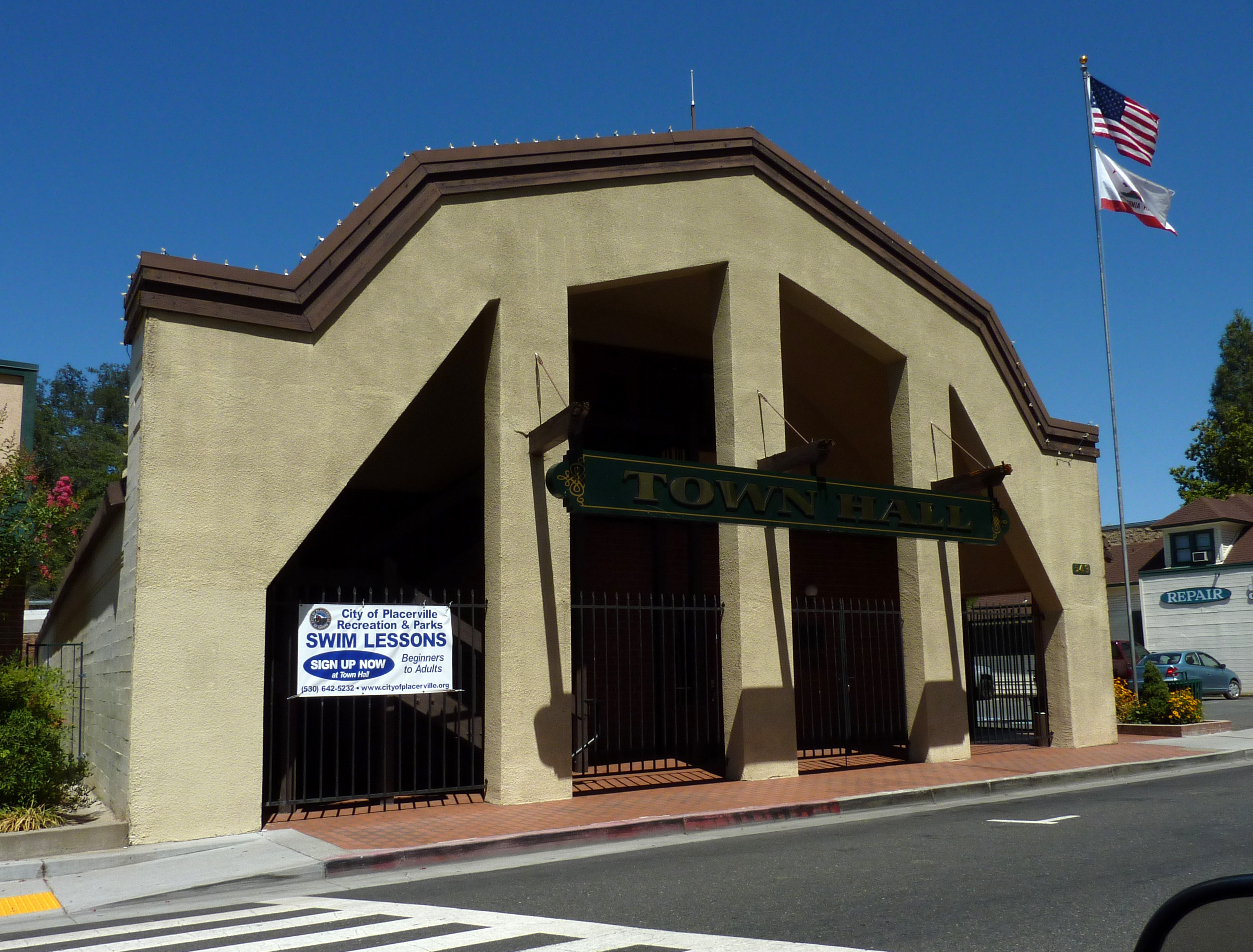
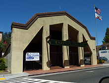 Town Hall
2010
The 2010 United States Census[4] reported that Placerville had a population of 10,389. The population density was 1,787.3 people per square mile (690.1/km²). The racial makeup of Placerville was 8,716 (83.9%) White, 80 (0.8%) African American, 162 (1.6%) Native American, 98 (0.9%) Asian, 13 (0.1%) Pacific Islander, 867 (8.3%) from other races, and 453 (4.4%) from two or more races. Hispanic or Latino of any race were 1,863 persons (17.9%).
The Census reported that 9,788 people (94.2% of the population) lived in households, 131 (1.3%) lived in non-institutionalized group quarters, and 470 (4.5%) were institutionalized.
There were 4,129 households, out of which 1,254 (30.4%) had children under the age of 18 living in them, 1,607 (38.9%) were opposite-sex married couples living together, 604 (14.6%) had a female householder with no husband present, 250 (6.1%) had a male householder with no wife present. There were 327 (7.9%) unmarried opposite-sex partnerships, and 31 (0.8%) same-sex married couples or partnerships. 1,306 households (31.6%) were made up of individuals and 599 (14.5%) had someone living alone who was 65 years of age or older. The average household size was 2.37. There were 2,461 families (59.6% of all households); the average family size was 2.97.
The population was spread out with 2,277 people (21.9%) under the age of 18, 972 people (9.4%) aged 18 to 24, 2,468 people (23.8%) aged 25 to 44, 2,831 people (27.2%) aged 45 to 64, and 1,841 people (17.7%) who were 65 years of age or older. The median age was 40.4 years. For every 100 females there were 90.3 males. For every 100 females age 18 and over, there were 86.9 males.
There were 4,541 housing units at an average density of 781.2 per square mile (301.6/km²), of which 2,160 (52.3%) were owner-occupied, and 1,969 (47.7%) were occupied by renters. The homeowner vacancy rate was 3.5%; the rental vacancy rate was 7.8%. 5,023 people (48.3% of the population) lived in owner-occupied housing units and 4,765 people (45.9%) lived in rental housing units.
2000
As of the census[5] of 2000, there were 9,610 people, 4,001 households, and 2,484 families residing in the city. The population density was 1,656.2 people per square mile (639.7/km²). There were 4,242 housing units at an average density of 731.1 per square mile (282.4/km²). The racial makeup of the city was 88.6% White, 0.2% Black or African American, 1.3% Native American, 0.9% Asian, 0.1% Pacific Islander, 5.8% from other races, and 3.1% from two or more races. 12.6% of the population were Hispanic or Latino of any race.
There were 4,001 households out of which 31.3% had children under the age of 18 living with them, 41.7% were married couples living together, 15.9% had a female householder with no husband present, and 37.9% were non-families. 31.2% of all households were made up of individuals and 14.3% had someone living alone who was 65 years of age or older. The average household size was 2.34 and the average family size was 2.90.
In the city the population was spread out with 25.6% under the age of 18, 8.8% from 18 to 24, 26.2% from 25 to 44, 22.0% from 45 to 64, and 17.4% who were 65 years of age or older. The median age was 38 years. For every 100 females there were 85.3 males. For every 100 females age 18 and over, there were 78.8 males.
The median income for a household in the city was $36,454, and the median income for a family was $46,875. Males had a median income of $36,711 versus $28,095 for females. The per capita income for the city was $19,151. About 9.3% of families and 12.1% of the population were below the poverty line, including 16.9% of those under age 18 and 4.3% of those age 65 or over.
History
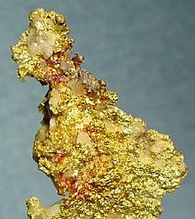
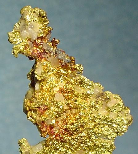
After the discovery of gold in nearby Coloma, California by James W. Marshall in 1848 sparked the California Gold Rush, the small town now known as Placerville was known as Dry Diggin's after the manner in which the miners moved cartloads of dry soil to running water to separate the gold from the soil. Later in 1849, the town earned its most common historical name, "Hangtown", because of the numerous hangings that had occurred there.[6] By 1850, the temperance league and a few local churches had begun to request that a more friendly name be bestowed upon the town. The name was not changed until 1854 when the City of Placerville was incorporated. At its incorporation Placerville was the third largest town in California. In 1857 the county seat was then moved from Coloma to Placerville, where it remains today.
Placerville was a central hub for the Mother Lode region's mining operations.[7] The town had many services, including transportation (of people and goods), lodging, banking, and had a market and general store. The history of hard-rock mining is evidenced by an open and accessible Gold Bug Park & Mine, now a museum with tours and books.[8]
The Southern Pacific Railroad once had a branch line that extended from Sacramento to Placerville. The track was abandoned in the 1980s. The Camino, Placerville and Lake Tahoe Railroad (now abandoned) also operated an 8-mile (13 km) shortline that operated between Camino, California and Placerville until June 17, 1986. As of March 29, 2007, 52 miles (84 km) of the right-of-way have been purchased by the city of Folsom, and eighteen miles (29 km) of track have been restored. Plans are in motion for a tourist train along the route by 2015.[9]
The town's first post office opened in 1850.[2]
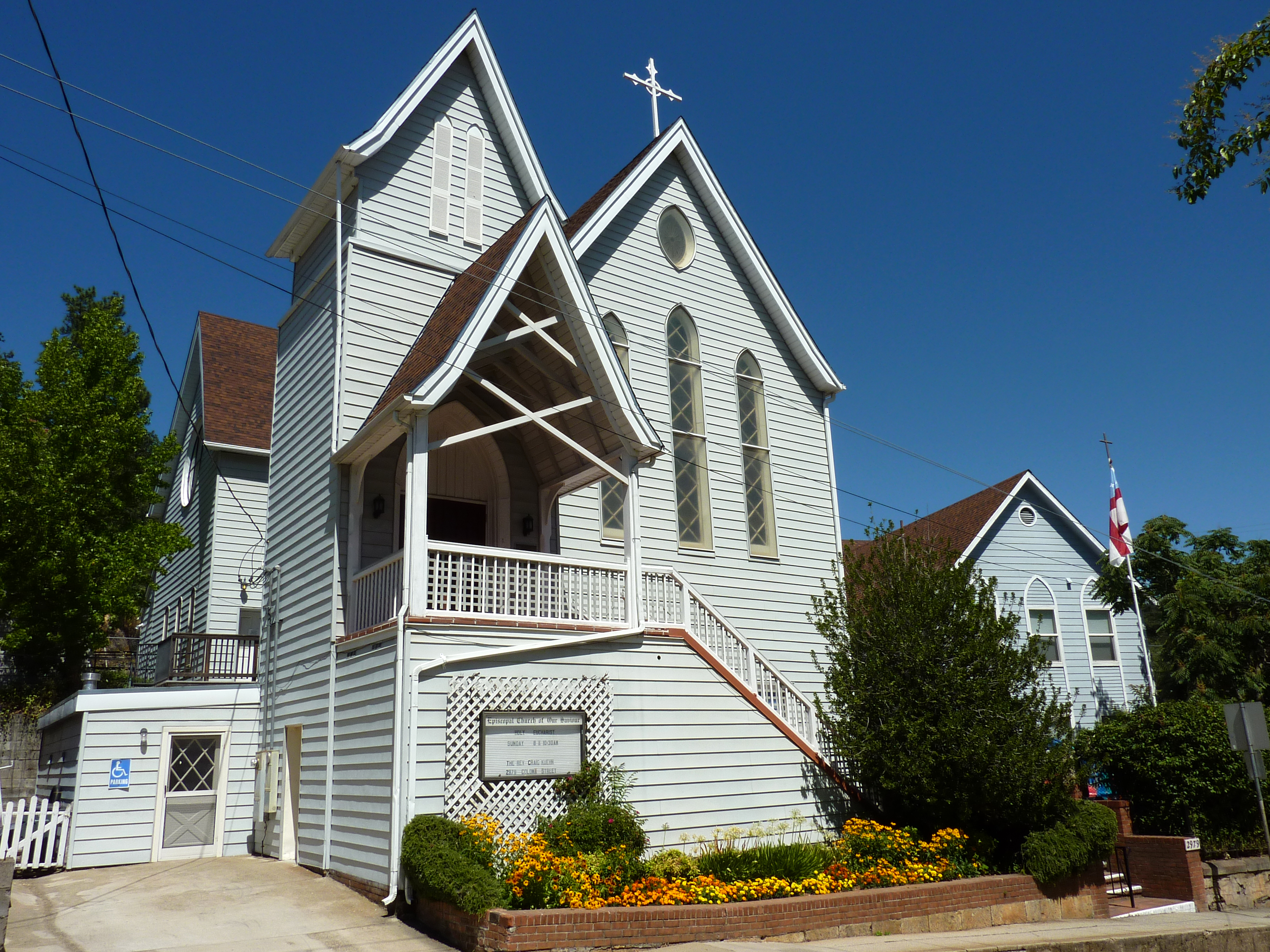
National Register of Historic Places gallery
Placerville has several buildings listed on the National Register of Historic Places; several are noted below.
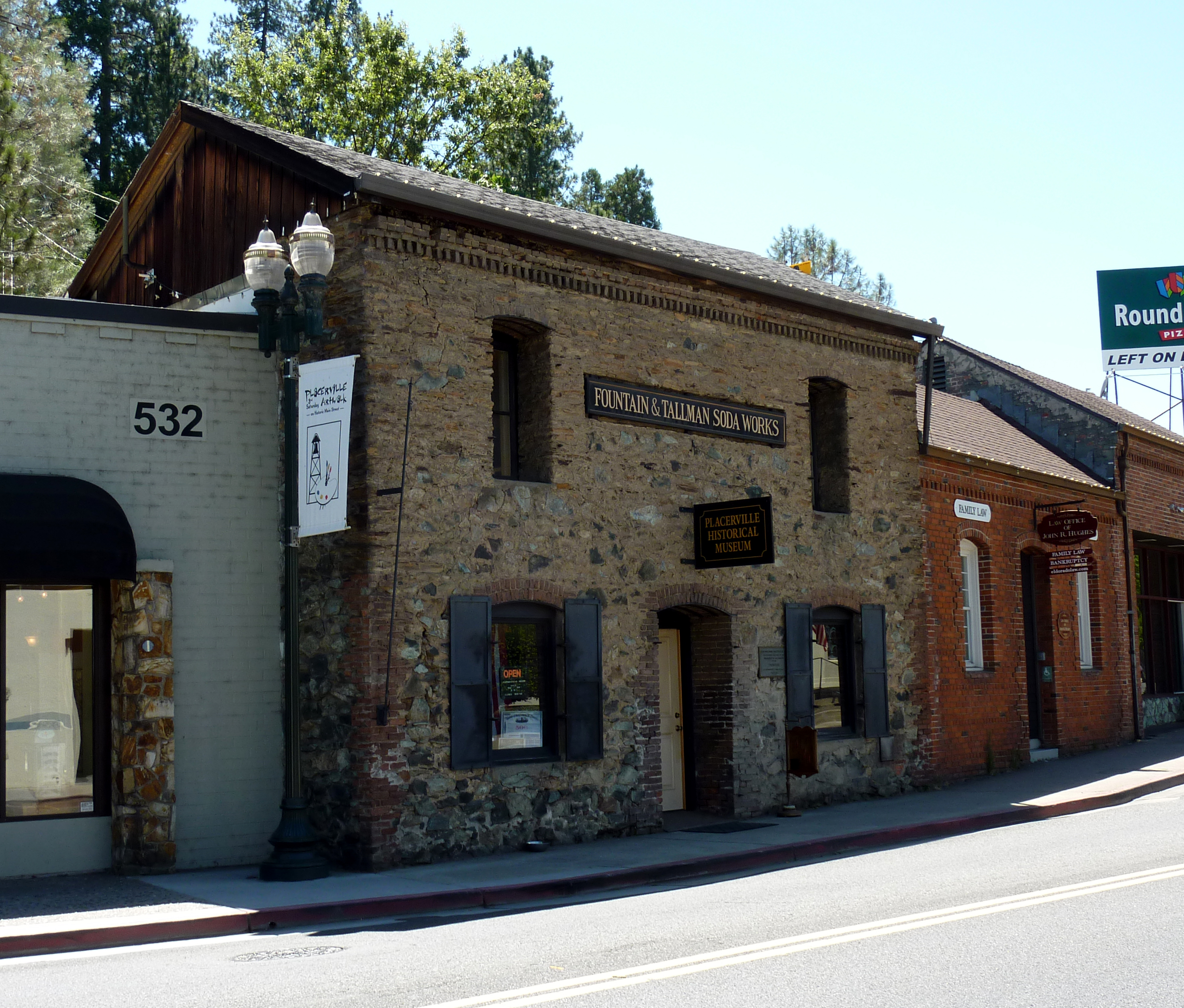
-

Fountain-Tallman Soda Works (now the Fountain & Tallman Museum)
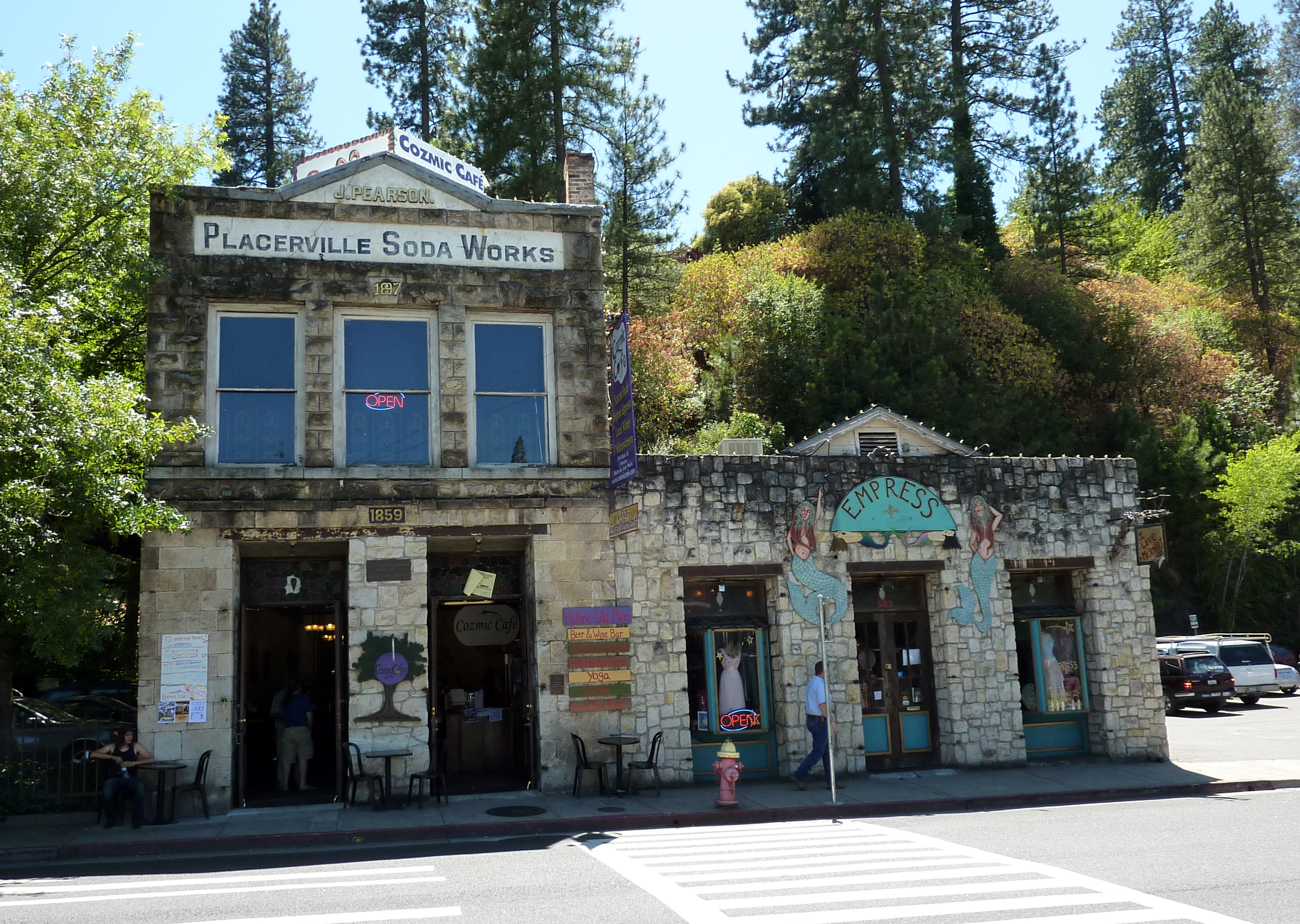
-

John Pearson Soda Works
Wine production
The region east of Placerville, known as Apple Hill, is increasingly becoming a center for quality wine production. Notable wineries in the region include Crystal Basin, Jodar, Boeger, Lava Cap and Granite Springs. The region is "renown[ed] for making vibrantly flavorful, distinctly delicious wines, grown in the dramatic elevations of the Sierra Nevada."[10]
Politics
In the state legislature Placerville is located in the 1st Senate District, represented by Republican Dave Cox, and in the 4th Assembly District, represented by Republican Ted Gaines. Federally, Placerville is located in California's 4th congressional district, which has a Cook PVI of R +11[11] and is represented by Republican Tom McClintock.
Culture
Placerville began as a "gold" town. One of its first known names was Dry Diggin's because the gravel had to be carried to water to pan for gold. Later it was known as Hangtown. Because of the wildness, there were many hangings in town. Placerville, California has had several name changes. It started as "Blood and Guts" in the mid-19th century. Settling families (mostly the women) complained of its un-Christian-sounding name, and it was changed to "Hangtown" (appropriately, as public hangings were regularly done there). It remained as such for several years until it was given its current name. Those traveling in the area can still see the old Hangman's platform that was used for public hangings.[12] This can be seen on the street markers in town. A bell tower, once used as a warning bell for fire, is located on main street which is a landmark in the area. Placerville is home to the Mountain Democrat newspaper and Marshall Medical Center.
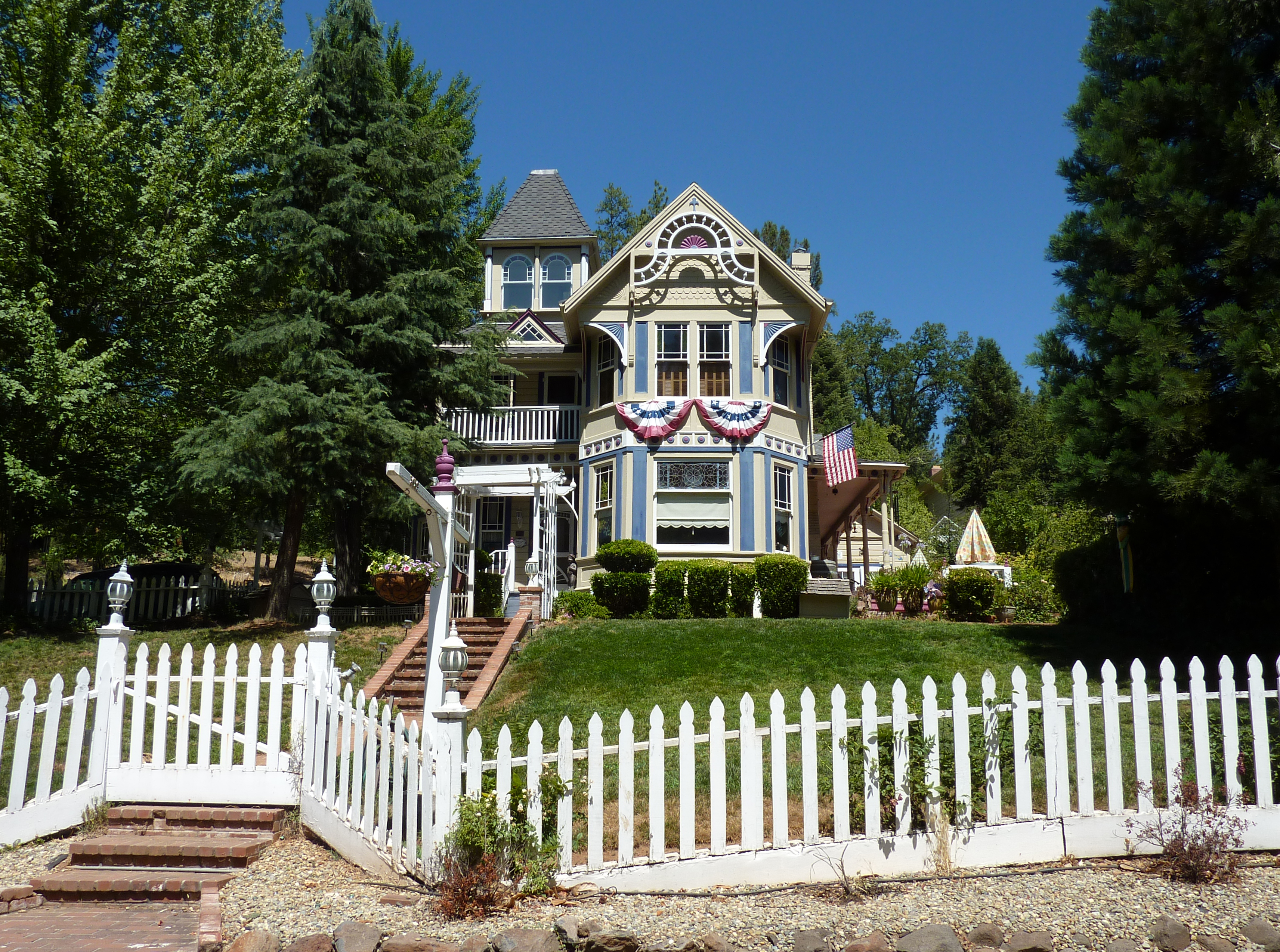
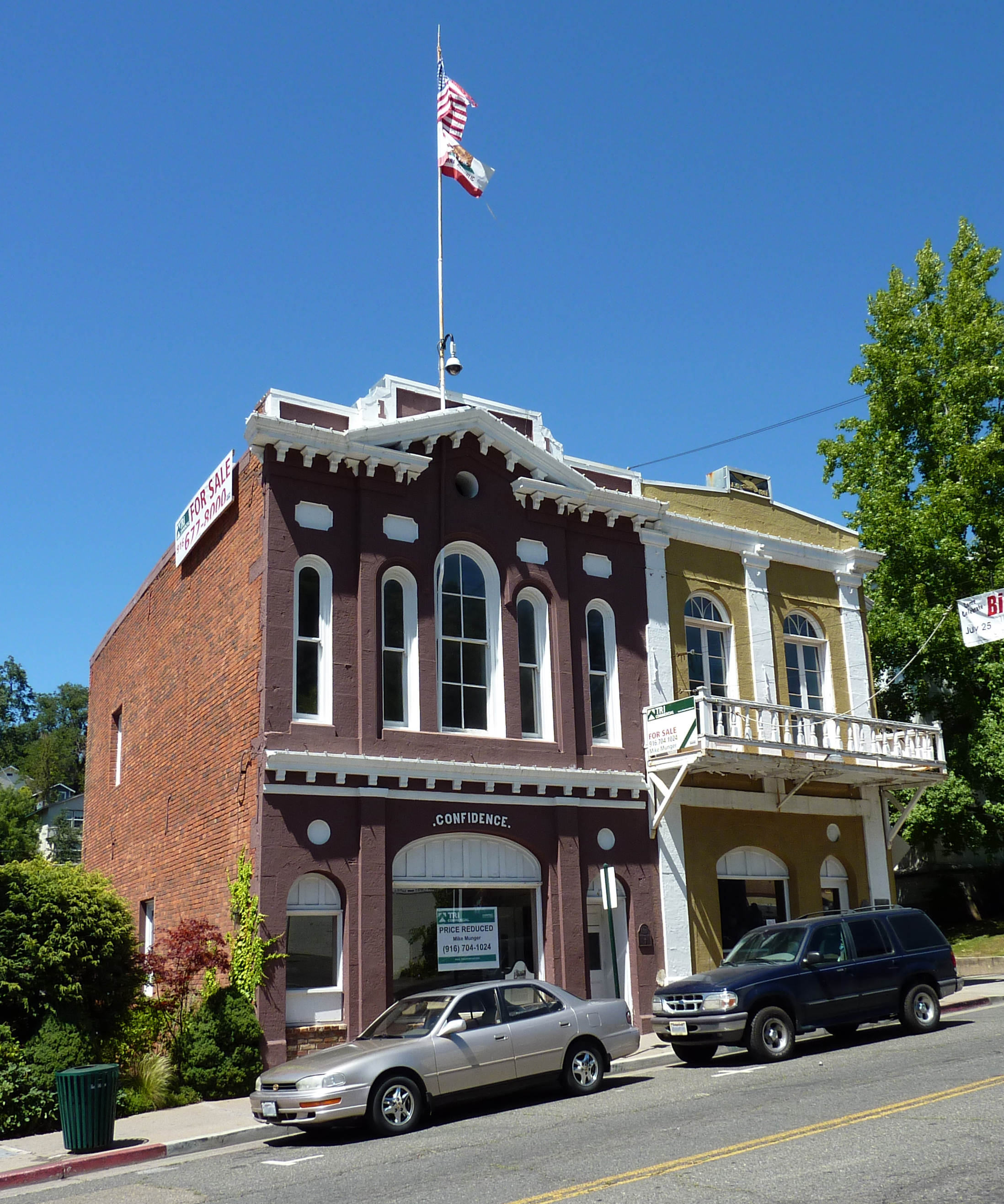
Placerville is a historic community from the gold-rush days, and accordingly there are many old buildings from this period.[13] A walk down Main Street also reveals many historical markers, signifying spots of certain events or persons of importance during this period. Placerville was also on the line of the Pony Express, a short-lived mail carrier service that connected California to the Midwest and East (basically from Sacramento to St. Joseph, Missouri). The Pony Express eventually gave way to the efficiencies of railroad transportation.
The branch line was actually never allowed to be abandoned and was purchased from the Union Pacific in 1996 for $14 million by the Joint Powers Authority consisting of Sacramento County, Folsom, and El Dorado County. There was a group that was restoring the line to run historic excursion trains from Folsom to Placerville a total of 35 miles (56 km) of track, but the train stopped running around 1985. There is also a mountain bike trail and equestrian trails.
Climate
Placerville has cool, wet winters and warm, mostly dry summers. Average January temperatures are a maximum of 53.4 °F (11.9 °C) and a minimum of 32.5 °F (0.3 °C). Average July temperatures are a maximum of 92.7 °F (33.7 °C) and a minimum of 57.2 °F (14.0 °C). Annually, there are an average of 65.7 days with highs of 90 °F (32 °C) or higher and 61.3 days with lows of 32 °F (0 °C) or lower. The record high temperature was 114 °F (46 °C) on July 4, 1911. The record low temperature was 8 °F (−13 °C) on December 9, 1972.
Average annual precipitation in Placerville is 38.11 inches (968 mm). There an average of 66 days with measurable precipitation. The wettest year was 1983 with 74.55 inches (1,894 mm) and the driest year was 1976 with 11.85 inches (301 mm). The most precipitation in one month was 23.29 inches (592 mm) in December 1955. The most precipitation in 24 hours was 6.22 inches (158 mm) on February 14, 2000.[14]
Snowfall
Record breaking snowfall for a single storm under an 8 hr. period took place on Dec. 7, 2009; 21 inches fell in downtown Placerville and more than 30 inches on the outskirts of town. Also, there was a record tying low temperature of 14 degrees for the night of Dec. 9th.
The snowfall for the Placerville area ranges between a dusting and 6 inches (15 cm) per cold winter storm.[citation needed]. An average year would be around 9-12 inches of snowfall. The average for Historical Downtown Placerville is 9.7 inches (25 cm) for the winter year.
Climate data for PLACERVILLE, CALIFORNIA (1915-2005) Month Jan Feb Mar Apr May Jun Jul Aug Sep Oct Nov Dec Year Record high °F (°C) 75
(24)78
(26)87
(31)92
(33)104
(40)109
(43)110
(43)109
(43)108
(42)100
(38)83
(28)76
(24)110
(43)Average high °F (°C) 53.3
(11.8)56.9
(13.8)60.2
(15.7)66.3
(19.1)74.5
(23.6)83.7
(28.7)92.4
(33.6)91.3
(32.9)85.5
(29.7)74.8
(23.8)61.1
(16.2)53.9
(12.2)71.16
(21.75)Daily mean °F (°C) 42.8
(6.0)45.8
(7.7)48.8
(9.3)53.3
(11.8)60.3
(15.7)67.7
(19.8)74.8
(23.8)73.6
(23.1)68.5
(20.3)59.8
(15.4)49.0
(9.4)43.4
(6.3)57.32
(14.06)Average low °F (°C) 32.4
(0.2)34.7
(1.5)37.4
(3.0)40.3
(4.6)46.0
(7.8)51.6
(10.9)56.8
(13.8)55.9
(13.3)51.5
(10.8)44.7
(7.1)37.1
(2.8)32.9
(0.5)43.44
(6.36)Record low °F (°C) 9
(−13)15
(−9)19
(−7)24
(−4)29
(−2)31
(−1)38
(3)37
(3)33
(1)23
(−5)21
(−6)8
(−13)8
(−13)Precipitation inches (mm) 7.05
(179.1)6.70
(170.2)5.85
(148.6)3.09
(78.5)1.52
(38.6)0.46
(11.7)0.08
(2)0.09
(2.3)0.56
(14.2)2.12
(53.8)4.52
(114.8)6.52
(165.6)38.56
(979.4)Snowfall inches (cm) 1.2
(3)0.4
(1)0.4
(1)0.3
(0.8)0.0
(0)0.0
(0)0.0
(0)0.0
(0)0.0
(0)0.0
(0)0.0
(0)0.4
(1)2.7
(6.9)Source: http://www.wrcc.dri.edu/cgi-bin/cliMAIN.pl?caplac+nca Transportation
Placerville is served by two major highways. U.S. Route 50 heads west to Sacramento and east to South Lake Tahoe. California State Route 49 runs north and south, connecting the city with the other major communities in the Sierra Nevada foothills.
Placerville is served by the Placerville Airport.[15] A Good Neighbor Airport, it has a 4,200-foot-long (1,300 m) runway, but is not currently served by any commercial air transport.
Notable residents
Over the years many notable and influential people had shops in Placerville, mostly along the now historic Main Street.[16]
Historical persons:
- T.J. Caystile — newspaperman
- Henry Hooker — cattle baron
- Mark Hopkins — railroad financier
- Edwin Markham — poet
- Levi Strauss — clothing maker
- John Studebaker —auto maker
- Jesse Yarnell — newspaperman
- Oliver Gagliani - photographer
Modern notable persons:
- Toby Hall — baseball player
- Thomas Kinkade — painter
- Annie Le — Yale University medical/doctoral student, murdered September 8, 2009[17]
- Spider Sabich — ski racer from Kyburz - buried in Placerville
- Jerome R. Waldie — United States Representative from California
- Amy Bruni - Investigator on SyFy network show Ghost Hunters
- Kerik Kouklis[3] - photographer and alternative printing process specialist (utilizing the platinum/palladium process and the combined gum-platinum process)
Gallery
-
Placerville bell
-

Clear, tabular quartz crystal with a sharp phantom inside demarcated by its mossy green chlorite inclusions
References
Notes
- ^ U.S. Census
- ^ a b Durham, David L. (1998). California's Geographic Names: A Gazetteer of Historic and Modern Names of the State. Quill Driver Books. p. 539. ISBN 9781884995149.
- ^ "US Gazetteer files: 2010, 2000, and 1990". United States Census Bureau. 2011-02-12. http://www.census.gov/geo/www/gazetteer/gazette.html. Retrieved 2011-04-23.
- ^ All data are derived from the United States Census Bureau reports from the 2010 United States Census, and are accessible on-line here. The data on unmarried partnerships and same-sex married couples are from the Census report DEC_10_SF1_PCT15. All other housing and population data are from Census report DEC_10_DP_DPDP1. Both reports are viewable online or downloadable in a zip file containing a comma-delimited data file. The area data, from which densities are calculated, are available on-line here. Percentage totals may not add to 100% due to rounding. The Census Bureau defines families as a household containing one or more people related to the householder by birth, opposite-sex marriage, or adoption. People living in group quarters are tabulated by the Census Bureau as neither owners nor renters. For further details, see the text files accompanying the data files containing the Census reports mentioned above.
- ^ "American FactFinder". United States Census Bureau. http://factfinder.census.gov. Retrieved 2008-01-31.
- ^ El Dorado County Visitor's Guide
- ^ El Dorado County Visitors Authority
- ^ Hangtown's Gold Bug Park & Mine.
- ^ Iander, John (2007-03-29). "Some Hoping In Rejuvenating A Folsom Railroad". KMAX CBS13. Archived from the original on 2007-04-09. http://web.archive.org/web/20070409154559/http://cbs13.com/local/local_story_088212429.html. Retrieved 2007-04-02.
- ^ El Dorado Winery Association
- ^ "Will Gerrymandered Districts Stem the Wave of Voter Unrest?". Campaign Legal Center Blog. http://www.clcblog.org/blog_item-85.html. Retrieved 2007-10-20.
- ^ El Dorado, County Visitor's Guide
- ^ Historical buildings and monuments in El Dorado County
- ^ http://www.wrcc.dri.edu/cgi-bin/cliMAIN.pl?ca6960
- ^ [1]
- ^ El Dorado County Visitor's Authority
- ^ "Experts: Defense in Yale Killing Has Tough Job" Associated Press, September 19, 2009 [2]
Sources
External links

Wikimedia Commons has media related to: - Official City Website
- Mt. Democrat (local newspaper)
- Placerville Downtown Association
- Western Living Center
- Marshall Medical Center
- Placerville California Weather
- Hangtown Gold Bug Park & Mine
- El Dorado Western Railway Foundation blog The railway is restoring the Diamond & Caldor No. 4 Shay locomotive at the El Dorado County Historical Museum
- Hangtown Kennel Club
Municipalities and communities of El Dorado County, California Cities Placerville | South Lake Tahoe
CDPs Auburn Lake Trails | Cameron Park | Camino | Cold Springs | Coloma | Diamond Springs | El Dorado Hills | Georgetown | Grizzly Flats | Pollock Pines | Shingle Springs | Tahoma‡
Unincorporated
communitiesApex | Arroyo Vista | Aukum | Avinsino Corner | Balderson Station | Bonetti | Brandon Corner | Brela | Briarwood Canyon | Bryants | Buckeye | Buffalo Hill | Bullard | Caldor | Cambridge Oaks | Cameron Airpark Estates | Camino Heights | Camp Richardson | Campana | Cedar Grove | Clarksville | Claussenius | Cool | Coyoteville | Crescent Ridge Village | Croft | Crown Village | Darlington | Deer Park | Deer View | Ditch Camp Five | Dugan | Echo Lake | El Dorado | Emerald Bay | Equestrian Village | Fair Play | Fairbanks | Fallen Leaf | Five Mile Terrace | Flonellis | Fornis | Fountain Place | Franciscan Village | Frenchtown | Fresh Pond | Garden Valley | Gilberts | Glenridge Park | Gold Hill | Gold Ridge | Gold Trail Park | Governors Village | Green Springs Ranch | Green Springs Valley | Green Valley Acres | Greenwood | Griminger | Grizzly Peak | Happy Valley | Hickok Ranch | Hidden Valley | Highland Village | Jayhawk | Jones Place | Kelsey | Kingsville | Kiva Beach | Kyburz | La Cresta Village | Lake Hills Estates | Lake Valley | Lakeridge Oaks | Lakewood Sierra | Latrobe | Leonardi | Little Norway | Lotus | Lower Forni | Manzanita Acres | Marble Mountain | Mariemont | Marina Village | McConnel Place | McManus | Meadow Brook | Meeks Bay | Meiss | Melsons Corner | Meyers | Morrison | Motor City | Nashville | Nebelhorn | Newtown | North Placerville | Oak Creek Hills | Oak Ridge Village | Oak Tree Village | Old Fort Jim | Old Pino | Omo Ranch | Outingdale | Pacific | Pacific House | Park Village | Perks Corner | Phillips | Pilliken | Pilot Hill | Pino Grande | Pleasant Valley | Pomins | Quintette | Raffetto | Rancho del Sol | Rescue | Ridgeview Village | Riverton | Saint Andrews Village | Sciots Camp | Short Place | Shrub | Sierra Springs | Skinners | Sly Park | Smithflat | Soapweed | Somerset | Spanish Flat | Sprekelsville | Spring Creek | Spring Valley | Springfield Meadows | Stonegate Village | Strawberry | Summit Village | Sweeneys Crossing | Tallac Village | Tiger Lily | Twin Bridges | Tylers Corner | Upper Forni | Van Vleck | Virner | Volcanoville | Voss | Waterford Village | White Hall | Winterhaven Village | Zee Estates
Former
settlementsAurum City | Bamom | Bennett | Buckeye Flat | Canton | Canyon | Cedar Creek Camp | Chicken Flat | Chili Bar | Cincinnati | Cummings | Dogtown | Dufftown | Euchre Diggings | Flora's | Fornis | Frosts | Golden | Green Springs | Green Valley | Greenwood Camp | Higgins Point | Hitchcock Ranch | Indak | Jacobsen | Jurgens | Koloma | Lava | Lawrenceberg | Live Oak Bar | Middletown | Missouri House | Mormon Tavern | Onchomo | Opok | Peru | Pleasant Flat | Powningville | River Hill | Rodwell | Rubicon | Rubicon Lodge | Rubicon Springs | Sailors Flat | Saint Lawrence | Salmon Falls | Siwim Pakan | Slatington | Snyders Bar | Sportsmans Hall | Stag Flat | Stony Bar | Swift | Texas Bar | Tchikimisi | Union Flat | Uniontown | Uno | Urban | Wentworth Springs | Yalisumni | Youngs | Zodoc
Footnotes ‡This CDP also has portions in an adjacent county or counties
Articles and topics related to Placerville, California Municipalities and communities of El Dorado County, California Cities Placerville | South Lake Tahoe
CDPs Auburn Lake Trails | Cameron Park | Camino | Cold Springs | Coloma | Diamond Springs | El Dorado Hills | Georgetown | Grizzly Flats | Pollock Pines | Shingle Springs | Tahoma‡
Unincorporated
communitiesApex | Arroyo Vista | Aukum | Avinsino Corner | Balderson Station | Bonetti | Brandon Corner | Brela | Briarwood Canyon | Bryants | Buckeye | Buffalo Hill | Bullard | Caldor | Cambridge Oaks | Cameron Airpark Estates | Camino Heights | Camp Richardson | Campana | Cedar Grove | Clarksville | Claussenius | Cool | Coyoteville | Crescent Ridge Village | Croft | Crown Village | Darlington | Deer Park | Deer View | Ditch Camp Five | Dugan | Echo Lake | El Dorado | Emerald Bay | Equestrian Village | Fair Play | Fairbanks | Fallen Leaf | Five Mile Terrace | Flonellis | Fornis | Fountain Place | Franciscan Village | Frenchtown | Fresh Pond | Garden Valley | Gilberts | Glenridge Park | Gold Hill | Gold Ridge | Gold Trail Park | Governors Village | Green Springs Ranch | Green Springs Valley | Green Valley Acres | Greenwood | Griminger | Grizzly Peak | Happy Valley | Hickok Ranch | Hidden Valley | Highland Village | Jayhawk | Jones Place | Kelsey | Kingsville | Kiva Beach | Kyburz | La Cresta Village | Lake Hills Estates | Lake Valley | Lakeridge Oaks | Lakewood Sierra | Latrobe | Leonardi | Little Norway | Lotus | Lower Forni | Manzanita Acres | Marble Mountain | Mariemont | Marina Village | McConnel Place | McManus | Meadow Brook | Meeks Bay | Meiss | Melsons Corner | Meyers | Morrison | Motor City | Nashville | Nebelhorn | Newtown | North Placerville | Oak Creek Hills | Oak Ridge Village | Oak Tree Village | Old Fort Jim | Old Pino | Omo Ranch | Outingdale | Pacific | Pacific House | Park Village | Perks Corner | Phillips | Pilliken | Pilot Hill | Pino Grande | Pleasant Valley | Pomins | Quintette | Raffetto | Rancho del Sol | Rescue | Ridgeview Village | Riverton | Saint Andrews Village | Sciots Camp | Short Place | Shrub | Sierra Springs | Skinners | Sly Park | Smithflat | Soapweed | Somerset | Spanish Flat | Sprekelsville | Spring Creek | Spring Valley | Springfield Meadows | Stonegate Village | Strawberry | Summit Village | Sweeneys Crossing | Tallac Village | Tiger Lily | Twin Bridges | Tylers Corner | Upper Forni | Van Vleck | Virner | Volcanoville | Voss | Waterford Village | White Hall | Winterhaven Village | Zee Estates
Former
settlementsAurum City | Bamom | Bennett | Buckeye Flat | Canton | Canyon | Cedar Creek Camp | Chicken Flat | Chili Bar | Cincinnati | Cummings | Dogtown | Dufftown | Euchre Diggings | Flora's | Fornis | Frosts | Golden | Green Springs | Green Valley | Greenwood Camp | Higgins Point | Hitchcock Ranch | Indak | Jacobsen | Jurgens | Koloma | Lava | Lawrenceberg | Live Oak Bar | Middletown | Missouri House | Mormon Tavern | Onchomo | Opok | Peru | Pleasant Flat | Powningville | River Hill | Rodwell | Rubicon | Rubicon Lodge | Rubicon Springs | Sailors Flat | Saint Lawrence | Salmon Falls | Siwim Pakan | Slatington | Snyders Bar | Sportsmans Hall | Stag Flat | Stony Bar | Swift | Texas Bar | Tchikimisi | Union Flat | Uniontown | Uno | Urban | Wentworth Springs | Yalisumni | Youngs | Zodoc
Footnotes ‡This CDP also has portions in an adjacent county or counties
Greater Sacramento Counties Douglas (NV) · El Dorado · Nevada · Placer · Sacramento · Sutter · Yolo · Yuba
Major City Cities
and
towns100k–200k25k–100kArden Arcade · Auburn · Carmichael · Citrus Heights · Davis · Folsom · Florin · Laguna · Lincoln · North Highlands · Orangevale · Parkway-South Sacramento · Rancho Cordova · Rocklin · West Sacramento · Woodland · Yuba City
10k–25kCameron Park · El Dorado Hills · Fair Oaks · Foothill Farms · Galt · Gardnerville Ranchos (NV) · Granite Bay · Grass Valley · La Riviera · Linda · Marysville · North Auburn · Olivehurst · Placerville · Rosemont · Rio Linda · South Lake Tahoe · South Yuba City · Truckee · Vineyard
Sub-regions Gold Country · Lake Tahoe · Sacramento Valley · Sierra Nevada · Yuba-Sutter Area
California county seats Consolidated city-county Municipalities Alturas | Auburn | Bakersfield | Colusa | Crescent City | El Centro | Eureka | Fairfield | Fresno | Hanford | Hollister | Jackson | Lakeport | Los Angeles | Madera | Martinez | Marysville | Merced | Modesto | Napa | Nevada City | Oakland | Oroville | Placerville | Red Bluff | Redding | Redwood City | Riverside | Sacramento | Salinas | San Bernardino | San Diego | San Jose | San Luis Obispo | San Rafael | Santa Ana | Santa Barbara | Santa Cruz | Santa Rosa | Sonora | Stockton | Susanville | Ukiah | Ventura | Visalia | Willows | Woodland | Yreka | Yuba City
CDPs Bridgeport | Downieville | Independence | Mariposa | Markleeville | Quincy | San Andreas | Weaverville
Categories:- Incorporated cities and towns in California
- Cities in El Dorado County, California
- County seats in California
- California Gold Rush
- Pony Express stations
- Sacramento metropolitan area
- Populated places established in 1848
-


Wikimedia Foundation. 2010.