- Canton Charter Township, Michigan
-
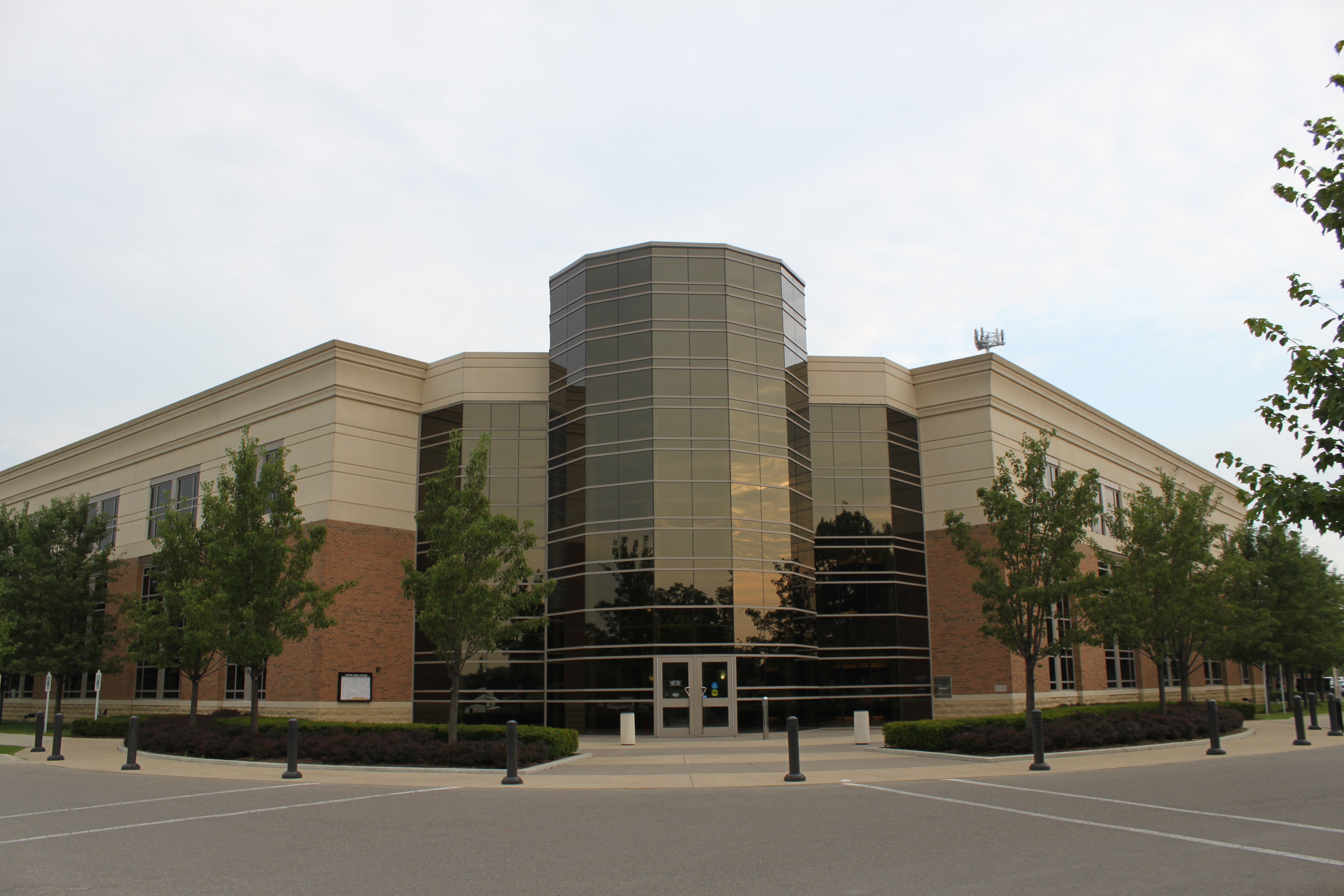
Canton Charter Township, Michigan — Charter township — Canton Municipal Building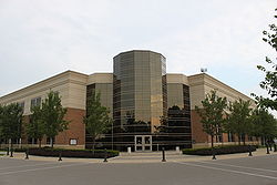
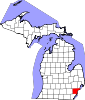
Motto: Michigan's Community of Vision. Location of Canton within Michigan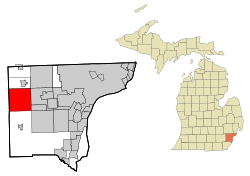
Coordinates: 42°18′31″N 83°28′56″W / 42.30861°N 83.48222°WCoordinates: 42°18′31″N 83°28′56″W / 42.30861°N 83.48222°W Country United States State Michigan County Wayne Settled 1825 Organized 1834 Government – Supervisor Philip LaJoy Area – Total 36.0 sq mi (93.2 km2) – Land 36.0 sq mi (93.2 km2) – Water 0.0 sq mi (0.0 km2) 0.0% Elevation 679 ft (207 m) Population (2010) – Total 90,173 – Density 2,504.8/sq mi (967.1/km2) Time zone EST (UTC-5) – Summer (DST) EDT (UTC-4) ZIP codes 48187-48188 Area code(s) 734 FIPS code 26-13120[1] GNIS feature ID 1626030[2] Website www.canton-mi.org The Charter Township of Canton, usually referred to as Canton, is a charter township of Wayne County in the U.S. state of Michigan. The commuter town is located 23 miles (37 km) west of Detroit and 17 miles (27 km) east of Ann Arbor. As of the 2010 census, the township had a population of 90,173,[3] making it Michigan's second largest township and eleventh largest community. Canton is one of Michigan's fastest-growing communities.[citation needed]
Contents
Communities
- Sheldon or Sheldon's Corners is a historic locale in the south of the township on U.S. Route 12 just west of Interstate 275 at 42°16′29″N 83°28′33″W / 42.27472°N 83.47583°W.[4] It is named after Timothy F. Sheldon who purchased lands there in 1842.
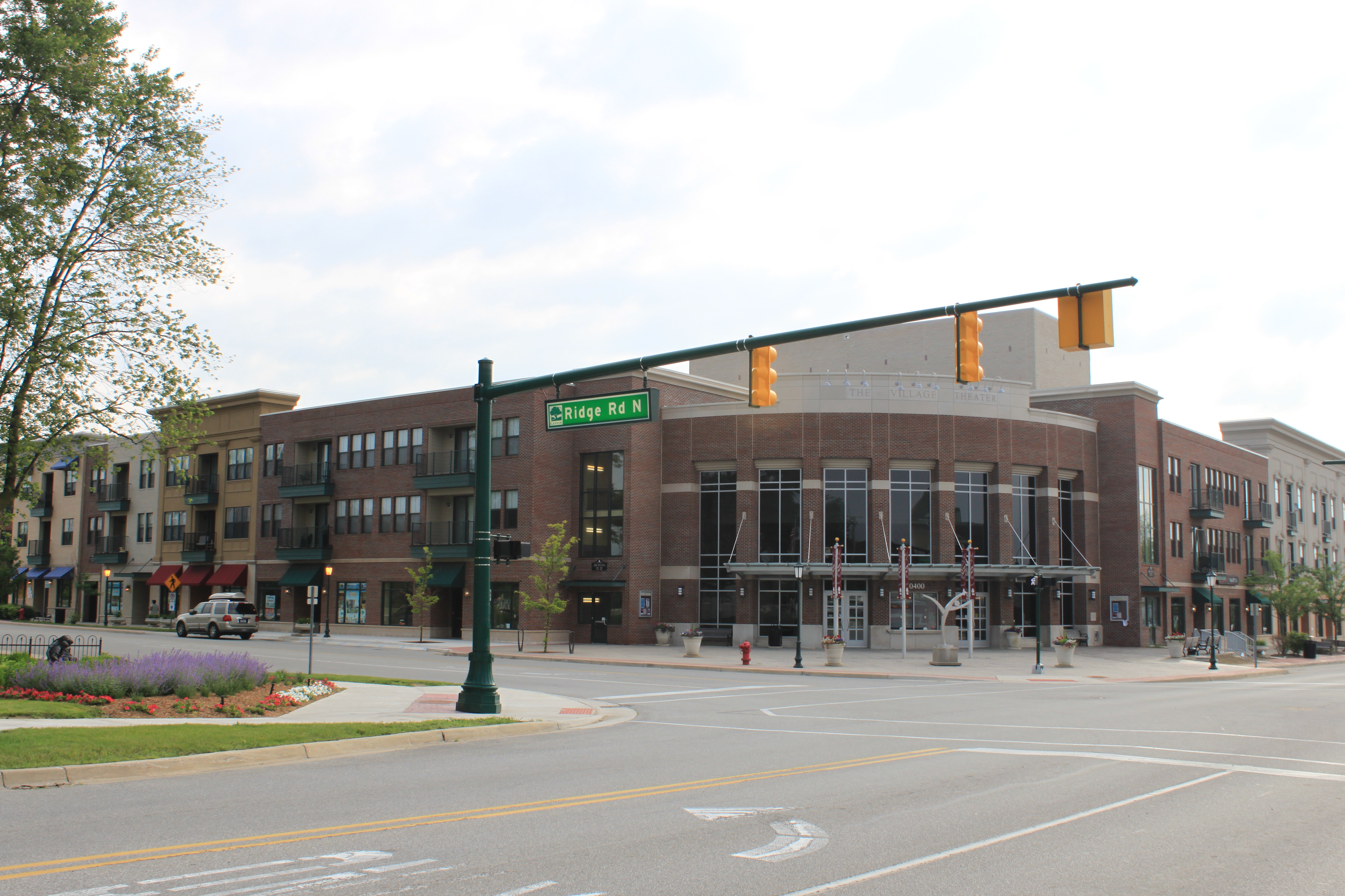
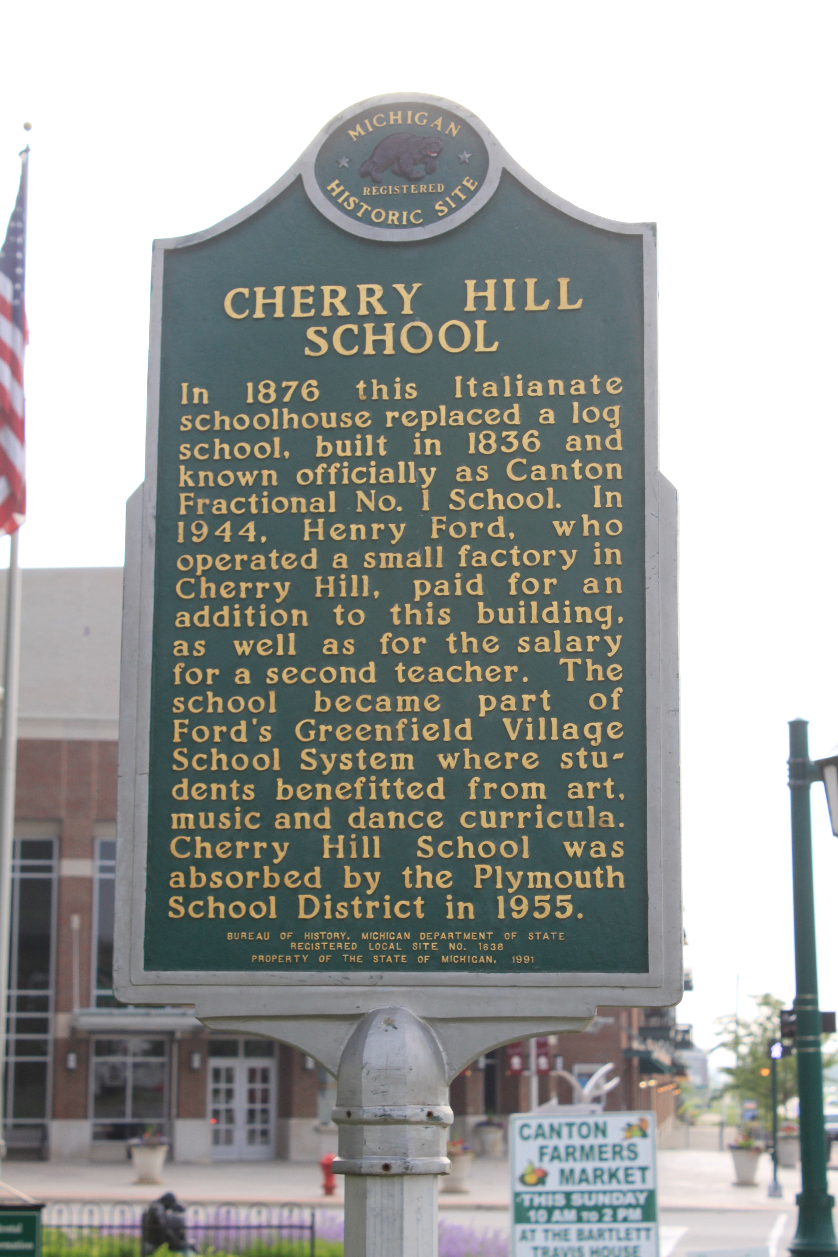
- Cherry Hill is a historic locale in the west of the township at 42°18′22″N 83°32′10″W / 42.30611°N 83.53611°W[5] at the intersection of Cherry Hill Road and Ridge Road. It is the site of a new urbanist neighborhood with architecture that is supposed to be reminiscent of what Canton was like a hundred years ago. It is located on a rise over a branch of the Lower River Rouge. It is now the site of a theatre, the Village Theater. Cherry Hill Village is evolving into the "downtown" area, much like downtown Plymouth.
History
The township of Canton was created by act of the Michigan Territorial Legislature on March 7, 1834 out of what had been Plymouth Township. It was named after the city of Canton in China. The name was chosen for the purpose of not conflicting with the name of any post office in existence at the time. At the time, there was a territorial law from April 12, 1827, prohibiting the incorporation of any new township having the same name as any existing post office. However, on October 20, 1829, the legislature had passed legislation creating the townships of Lima and Richland out of Bucklin Township. Governor Lewis Cass returned the acts unapproved, citing a conflict under the law. The legislature thus had to substitute the names of Nankin and Pekin after the cities of Nanking and Peking in China. Although the name of Pekin was changed to Redford in 1833, apparently when naming Canton, the legislature decided to continue having at least two townships named for Chinese cities.
The first meeting to organize the township was held in April 1834.
In the summer of 2002, the emerald ash borer was discovered in Canton.
The Canton Historical Society and Museum opened in 1982 in a one-roomed school house.
Geography
According to the United States Census Bureau, the township has a total area of 36.0 square miles (93 km2). No part of the total area is covered by water. The south of the township is drained by the Lower River Rouge and its tributaries, including Pine Creek, which drains from the northwest corner to the southeast. The northeast is drained by Tonquish Creek and Garden Creek, which are tributaries of the Middle River Rouge.[citation needed]
Economy
Top employers
According to the Charter Township's 2010 Comprehensive Annual Financial Report,[6] the top employers in the city are:
# Employer # of Employees 1 Plymouth-Canton Community Schools 2,500 2 Yazaki North America 1,062 3 Walmart 650 4 A. D. Transport Express 550 5 Sysco Detroit 540 6 Charter Township of Canton 356 7 Meijer 339 8 IKEA 314 9 Kroger 250 10 The Home Depot 230 Transportation
Canton-Plymouth-Mettetal Airport is in Canton Township.[7]
Education
Canton Township is served by the Plymouth-Canton Community Schools (which serves the northern 2/3 portion of Canton), Wayne-Westland Community Schools (which serves the south-eastern portion of Canton) and Van Buren Public Schools (which serves the south-western portion of the township). P-CCS includes most of Canton Township, the city of Plymouth, Plymouth Township, and portions of Salem, Superior, and Northville Townships.
Schools
Wayne-Westland Community Schools
- Roosevelt Elementary School
- Walker-Winter Elementary School
- Adams Upper Elementary
- Marshall Upper Elementary
- Franklin Middle School
- Stevenson Middle School
- John Glenn High School
- Wayne Memorial High School
Plymouth-Canton Community Schools
 Canton High School, Canton Center Rd.
- Allen Elementary School
- Bentley Elementary School
- Bird Elementary School
- Canton High School *
- Central Middle School
- Chaney Elementary School
- Discovery Middle School
- Dodson Elementary School
- East Middle School
- Eriksson Elementary School
- Farrand Elementary School
- Fiegel Elementary School
- Field Elementary School
- Gallimore Elementary School
- Hoben Elementary School
- Hulsing Elementary School
- Isbister Elementary School
- Miller Elementary School
- Pioneer Middle School
- Plymouth High School *
- Salem High School *
- Smith Elementary School
- Starkweather Center (Alternative education)
- Tanger Center (Alternative education)
- Tonda Elementary School
- West Middle School
- Workman Elementary School
(* Part of the Plymouth-Canton Educational Park)
Public charter schools
- Canton Charter Academy
- Achieve Charter Academy
- South Canton Scholars Charter Academy
- Canton Charter Academy
Private schools
- All Saints Catholic School
- Plymouth Christian Academy
- Plymouth Canton Montessori
- Crescent Academy International
Demographics
Historical populations Census Pop. %± 1960 5,313 — 1970 11,057 108.1% 1980 48,616 339.7% 1990 57,047 17.3% 2000 76,366 33.9% 2010 90,173 18.1% The U.S. Census Bureau also defined Canton Township as a census-designated place (CDP) at the 2000 Census so that the community would appear on the list of places (like cities and villages) as well on the list of county subdivisions (like other townships). The final statistics for the township and the CDP were identical.
As of the census[1] of 2000, there were 76,366 people, 27,490 households, and 20,562 families residing in the township. The population density was 2,121.5 per square mile (819.0/km²). There were 28,430 housing units at an average density of 789.8 per square mile (304.9/km²). The racial makeup of the township was 83.87% White, 4.54% African American, 0.29% Native American, 8.73% Asian, 0.02% Pacific Islander, 0.64% from other races, and 1.91% from two or more races. Hispanic or Latino of any race were 2.34% of the population.
There were 27,490 households out of which 42.0% had children under the age of 18 living with them, 63.4% were married couples living together, 8.6% had a female householder with no husband present, and 25.2% were non-families. 20.5% of all households were made up of individuals and 4.8% had someone living alone who was 65 years of age or older. The average household size was 2.77 and the average family size was 3.26. The median household price was $239,900 according to the U.S. Census Bureau's 2006 American Community Survey estimates.[8]
In the township the population was spread out with 29.0% under the age of 18, 8.0% from 18 to 24, 34.9% from 25 to 44, 22.1% from 45 to 64, and 5.9% who were 65 years of age or older. The median age was 33 years. For every 100 females there were 98.0 males. For every 100 females age 18 and over, there were 96.2 males.
According to a 2007 estimate, the median income for a household in the township was $82,669, and the median income for a family was $95,267.[1] Males had a median income of $61,570 versus $35,615 for females. The per capita income for the township was $28,609. About 2.9% of families and 3.7% of the population were below the poverty line, including 4.2% of those under age 18 and 5.5% of those age 65 or over.
Notable residents
- Brian Calhoun, Detroit Lions back-up running back
- Louis Delmas, Detroit Lions safety
- Spencer Haywood, retired NBA player
- Lindsey Hunter, Chicago Bulls and former Detroit Pistons point guard
- Kevin Jones, Chicago Bears running back
- Kirk Jones, first person to have survived an intentional plunge over the Niagara Falls without a safety device[9][10][11]
- Nate Robertson, former Detroit Tigers pitcher
- Steve Rosenberg, caught cheating for chess as he was leading in the final round of the Philadelphia World open 2006.
- Jason Stollsteimer, frontman of the band The Von Bondies
- James Wisniewski, Columbus Blue Jackets defenseman
Gallery
-
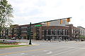
The Village Theater
-
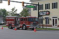
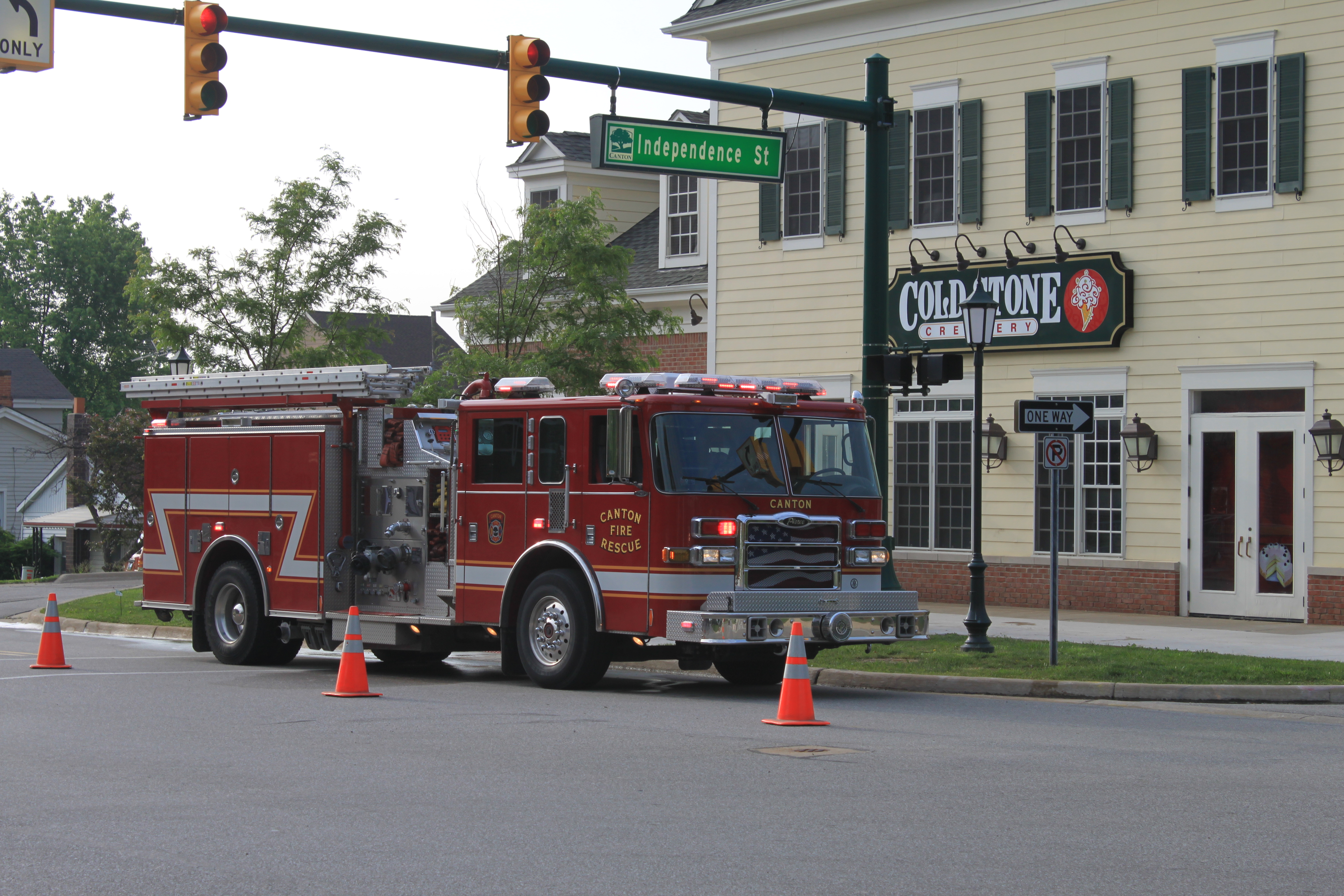
Canton Twp. Fire Rescue Truck
-
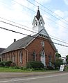
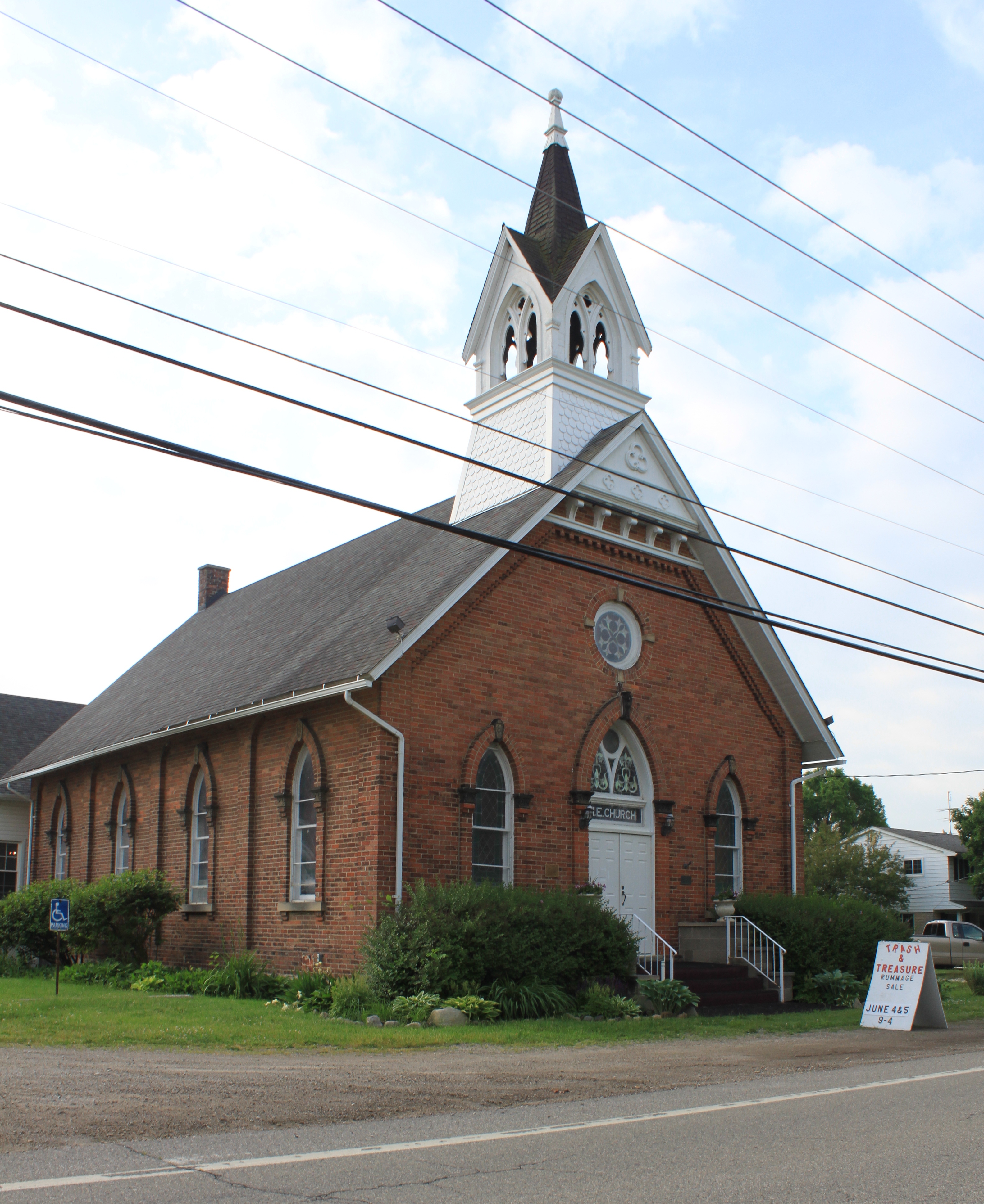
Cherry Hill United Methodist Church, erected 1882
-
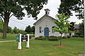
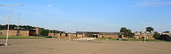
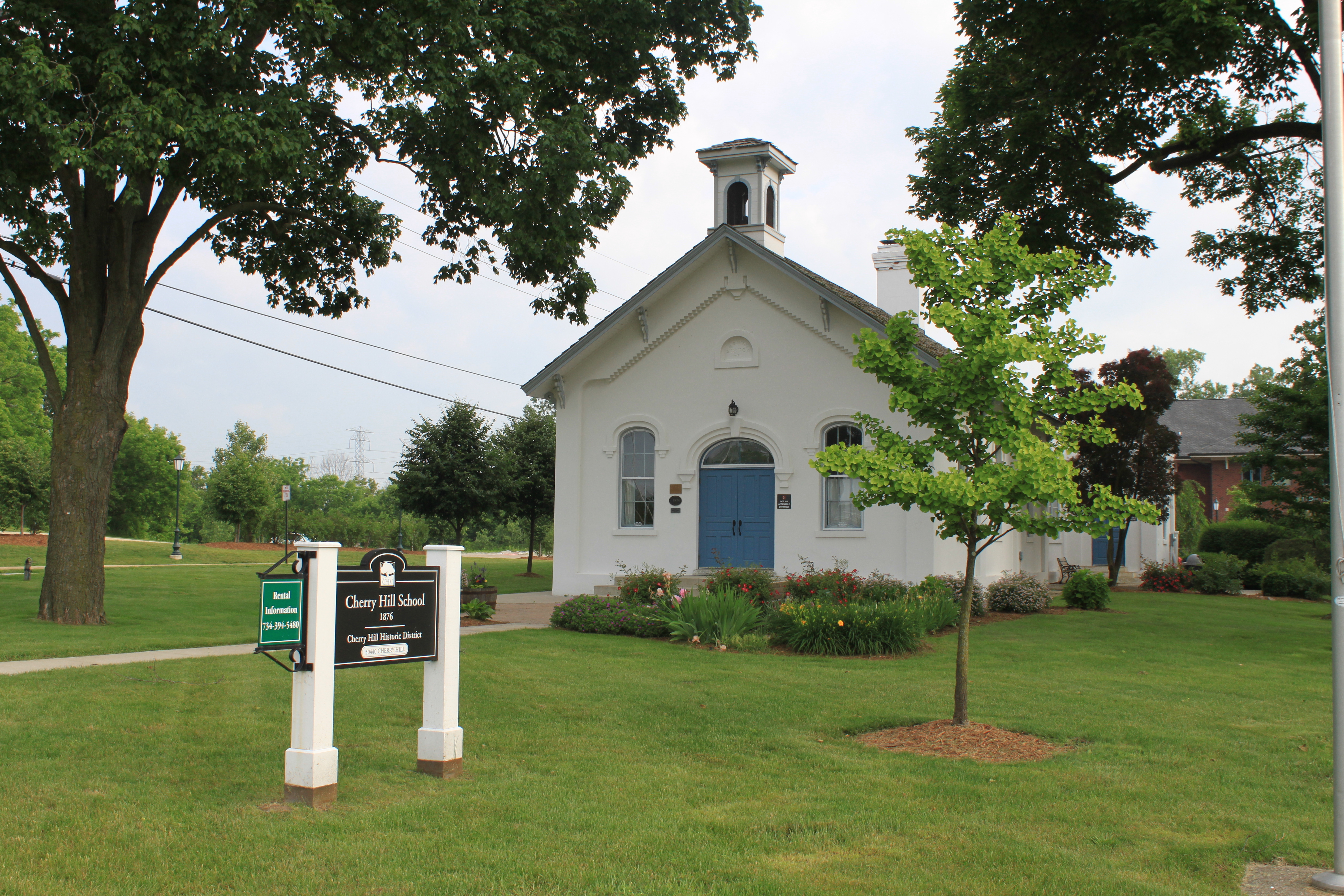
Cherry Hill School
-
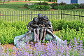
Bronze statue, Cherry Hill School
-
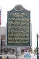
Cherry Hill School historical marker
-

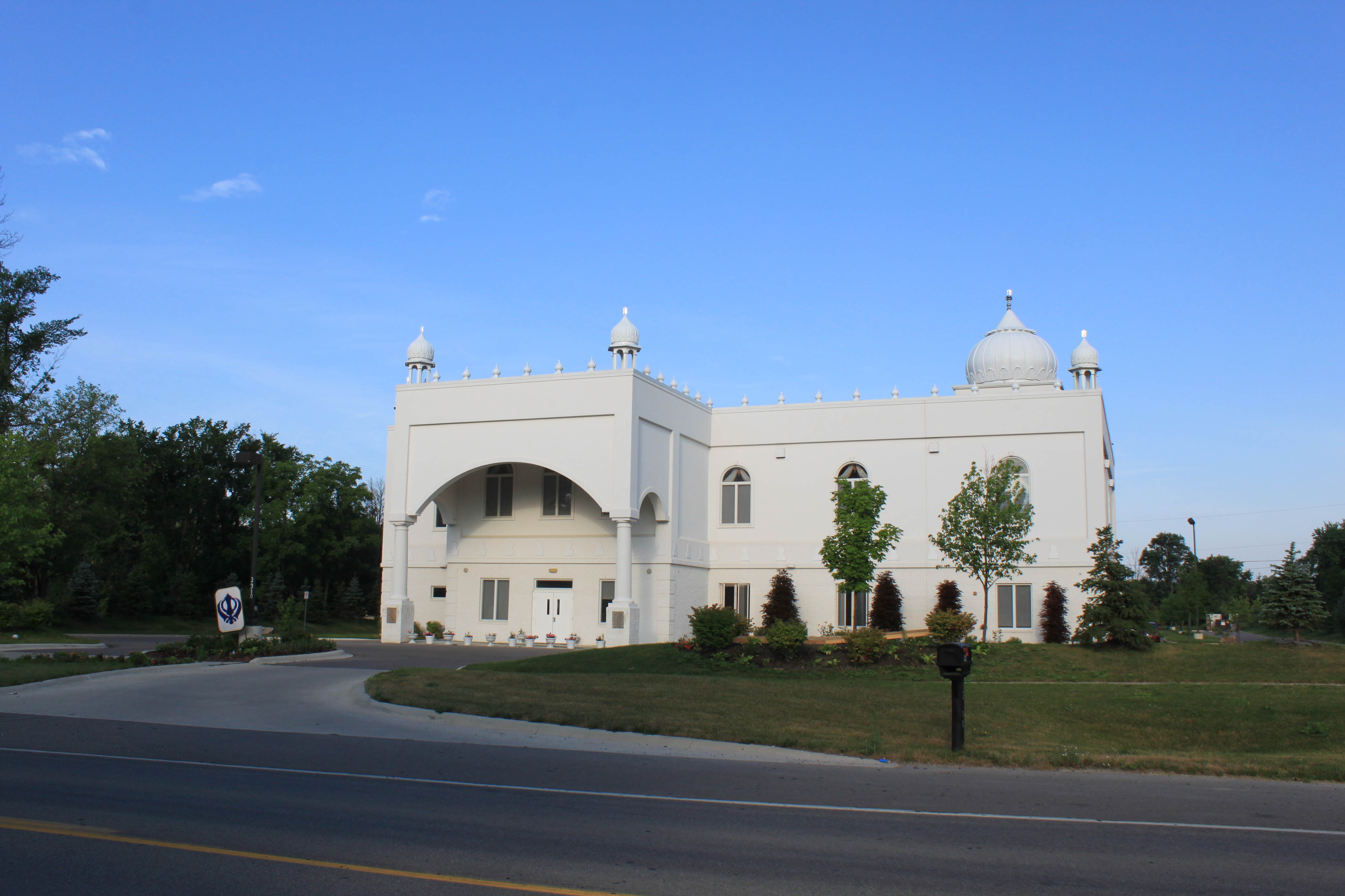
Gurudwara Sahib Sikh Temple, Canton Center Rd.
References
- ^ a b "American FactFinder". United States Census Bureau. http://factfinder.census.gov. Retrieved 2008-01-31.
- ^ U.S. Geological Survey Geographic Names Information System: Canton Charter Township, Michigan
- ^ "Race, Hispanic or Latino, Age, and Housing Occupancy: 2010 Census Redistricting Data (Public Law 94-171) Summary File (QT-PL), Canton charter township, Wayne County, Michigan". U.S. Census Bureau, American FactFinder 2. http://factfinder2.census.gov. Retrieved September 8, 2011.
- ^ U.S. Geological Survey Geographic Names Information System: Sheldon, Michigan
- ^ U.S. Geological Survey Geographic Names Information System: Cherry Hill, Michigan
- ^ Charter Township of Canton CAFR
- ^ "Canton township, Wayne county, Michigan." U.S. Census Bureau. Retrieved on October 28, 2009.
- ^ Canton township, Wayne County, Michigan Fact Sheet, 2006 American Community Survey, U.S. Census Bureau
- ^ Kirk Jones:An Interview with a Daredevil
- ^ The first person to survive an unprotected accidental plunge over the falls was seven-year old Roger Woodward in 1960, wearing only a life-preserver Niagara Falls & Roger Woodward
- ^ "Kirk Jones' Stunt to Tempt Foolhardy Aspiring Daredevils to their Dooms?", by Frank Thomas Croisdale, Niagara Falls Reporter, November 4, 2003
External links
- Canton Township official website
- Canton Public Library
- Canton City Wiki
- Canton Historical Society
- Canton Township in History of Detroit and Wayne County and early Michigan, Farmer, Silas, 1839–1902.
Municipalities and communities of Wayne County, Michigan Cities Allen Park | Belleville | Dearborn | Dearborn Heights | Detroit | Ecorse | Flat Rock‡ | Garden City | Gibraltar | Grosse Pointe | Grosse Pointe Farms | Grosse Pointe Park | Grosse Pointe Shores‡ | Grosse Pointe Woods | Hamtramck | Harper Woods | Highland Park | Inkster | Lincoln Park | Livonia | Melvindale | Northville‡ | Plymouth | River Rouge | Riverview | Rockwood | Romulus | Southgate | Taylor | Trenton | Wayne | Westland | Woodhaven | Wyandotte
Charter
townshipsBrownstown | Canton | Huron | Northville | Plymouth | Redford | Van Buren
General law
townshipsUnincorporated
communityCherry Hill | Martinsville | New Boston | West Sumpter
Footnotes ‡This populated place also has portions in an adjacent county or counties
Metro Detroit Topics Architecture · Culture · Detroit River · Economy · Freeways · History · Historic places · International Riverfront · Lake St. Clair · Media · Music · Parks and beaches · People · Skyscrapers · Sports · Theatre · Tourism · Transportation
Major city Municipalities
over 80,000Canton Township · Clinton Township · Dearborn · Livonia · Sterling Heights · Troy · Warren · WestlandMunicipalities
45,000 to 80,000Dearborn Heights · Farmington Hills · Grosse Pointe · Macomb Township · Novi · Pontiac · Redford Township · Rochester Hills · Royal Oak · St. Clair Shores · Shelby Township · Southfield · Taylor · Waterford Township · West Bloomfield TownshipSatellite cities Counties in MSA Counties in CSA Regions Outlying regions Categories:- Townships in Wayne County, Michigan
- Charter townships in Michigan
- Census-designated places in Michigan
- 1834 establishments in the United States
- Populated places established in 1834


Wikimedia Foundation. 2010.