- Memorial Lake State Park
-
Memorial Lake State Park Pennsylvania State Park Natural Monument (IUCN III) 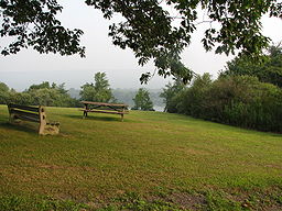 Memorial Lake State Park
Country United States State Pennsylvania County Lebanon Township East Hanover Location [1] - coordinates 40°25′20″N 76°35′59″W / 40.42222°N 76.59972°WCoordinates: 40°25′20″N 76°35′59″W / 40.42222°N 76.59972°W - elevation 433 ft (132 m) [1] Area 230 acres (93 ha) Founded 1945 Managed by Pennsylvania Department of Conservation and Natural Resources 
 Location of Memorial Lake State Park in Pennsylvania
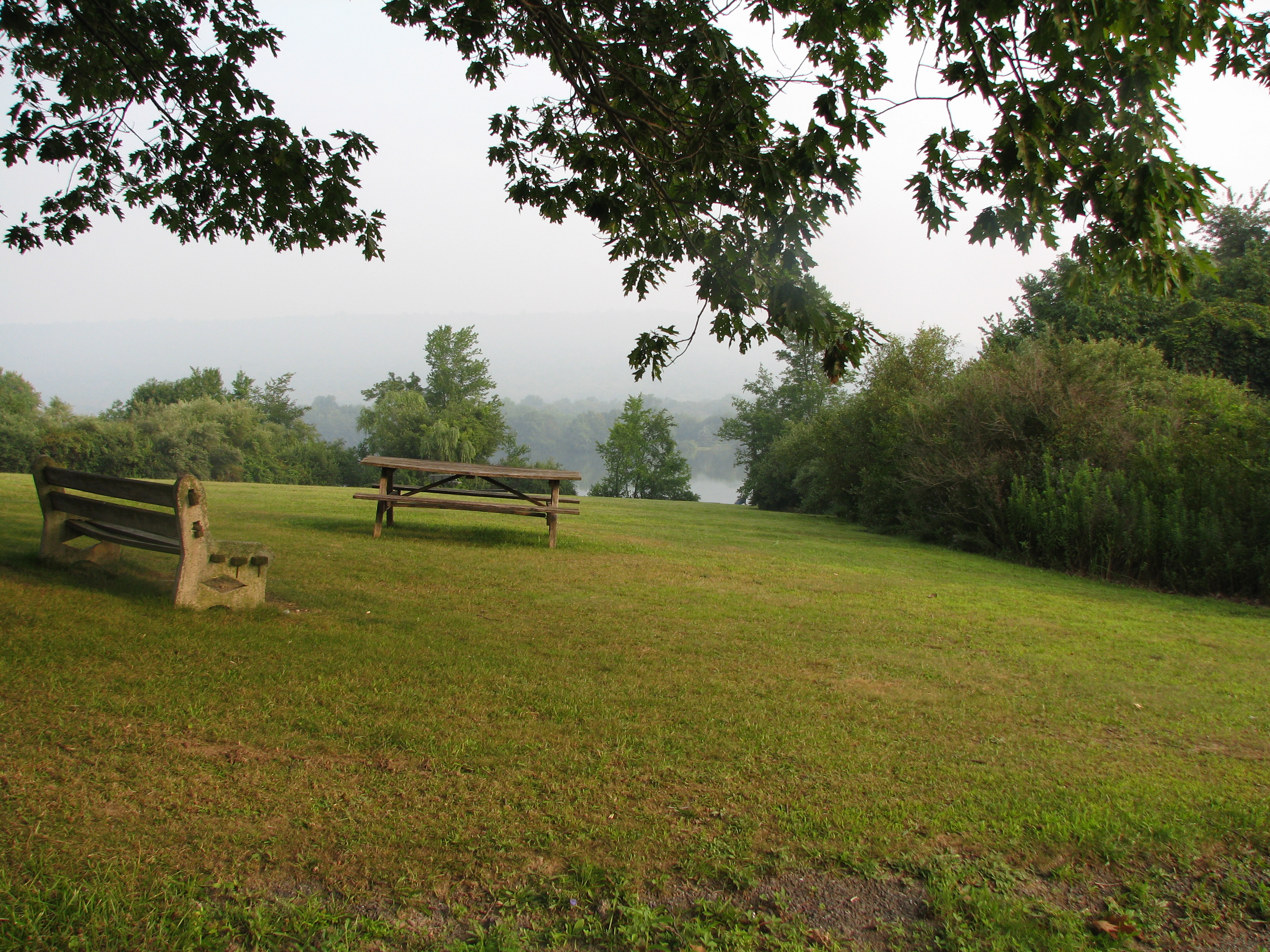
Website : Memorial Lake State Park Memorial Lake State Park is a Pennsylvania state park on 230 acres (93 ha) in East Hanover Township, Lebanon County, Pennsylvania in the United States. The park is completely surrounded by Fort Indiantown Gap Military Reservation, headquarters of the Pennsylvania National Guard. It includes Memorial Lake, which is 85 acres (34 ha), and is a 30 minute drive from Harrisburg just off Exit 85 of Interstate 81.[2]
Memorial Lake State Park was established in 1945 in memory and honor of Pennsylvania National Guard soldiers who served in World War I and World War II. Hiking, picnicking, cross-country skiing, and ice skating are some of the recreational activities available at the park.[2]
Fishing and ice fishing are popular recreational activities at the park. The common game fish are largemouth bass, muskellunge, northern pike, yellow perch, white crappie, black crappie, bullhead, channel catfish, carp, sucker, trout, and various species of panfish. Memorial Lake is a warm water fishery. All rules and regulations of the Pennsylvania Fish and Boat Commission apply.[2]
There are two boat launches at Memorial Lake. Gas powered boats are prohibited. Non powered and electric powered boats must display a current registration from any state or a launch permit from the Pennsylvania Fish and Boat Commission.[2]
Nearby state parks
The following state parks are within 30 miles (48 km) of Memorial Lake State Park:[3][4][5]
- Boyd Big Tree Preserve Conservation Area (Dauphin County)
- Gifford Pinchot State Park (York County)
- Joseph E. Ibberson Conservation Area (Dauphin County)
- Samuel S. Lewis State Park (York County)
- Swatara State Park (Lebanon and Schuylkill Counties)
References
- ^ a b "Memorial Lake State Park". Geographic Names Information System. United States Geological Survey. August 30, 1990. http://geonames.usgs.gov/pls/gnispublic/f?p=gnispq:3:::NO::P3_FID:1196523. Retrieved 2008-06-14.
- ^ a b c d "Memorial Lake State Park". Pennsylvania Department of Conservation and Natural Resources. http://www.dcnr.state.pa.us/stateparks/Parks/memoriallake.aspx. Retrieved 2007-01-17.
- ^ "Find a Park by Region (interactive map)". Pennsylvania Department of Conservation and Natural Resources. http://www.dcnr.state.pa.us/stateparks/findapark/where/index.htm. Retrieved November 18, 2011.
- ^ Michels, Chris (1997). "Latitude/Longitude Distance Calculation". Northern Arizona University. http://www2.nau.edu/~cvm/latlongdist.html. Retrieved 2008-04-23.
- ^ Pennsylvania Department of Transportation, Bureau of Planning and Research, Geographic Information Division. "2007 General Highway Map Lebanon County Pennsylvania" (Map). 1:65,000. ftp://ftp.dot.state.pa.us/public/pdf/BPR_pdf_files/Maps/GHS/Roadnames/lebanon_GHSN.PDF. Retrieved 2007-07-27. Note: shows Memorial Lake State Park
External links
- Memorial Lake State Park Official mapPDF (375 KB)
Categories:- Pennsylvania state parks
- Protected areas established in 1945
- Parks in Lebanon County, Pennsylvania

Wikimedia Foundation. 2010.