- Mid State Trail (Pennsylvania)
-
Pennsylvania Mid State Trail 
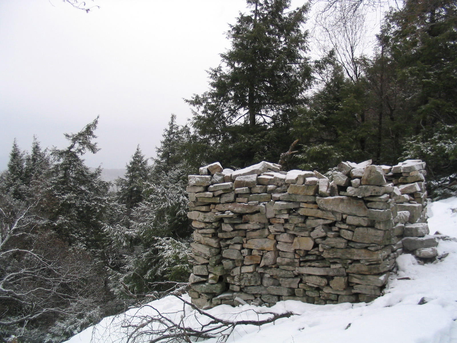
The "Roman Tower", on the trail near Boalsburg, Pennsylvania Length 327 mi; 526 km Location Pennsylvania and Maryland, United States Trailheads North: New York State border near Lawrenceville, Pennsylvania
South: Pine Lick Trail in Green Ridge State Forest in Maryland (at the Mason-Dixon Line)Use Hiking Highest point Martin Hill, in Bedford County, Pennsylvania Trail difficulty Moderate to Strenuous Season Spring to Fall Sights pastoral views and cultural remnants Hazards Severe Weather
Poison ivy
American Black Bear
Timber RattlerThe Mid State Trail (MST) is a 526 km (327 mi) long main trail network with many side trails located in the Ridge-and-valley Appalachians and Allegheny Plateau of Central Pennsylvania. It is known as "The Wildest Trail in Pennsylvania". In 2006, MST was announced as part of the Great Eastern Trail network of footpaths intended to extend from Alabama to New York State.
The northern terminus of the trail is at the New York State border near Lawrenceville, Pennsylvania. The southern end is a junction with the Pine Lick Trail in Green Ridge State Forest in Maryland at the Pennsylvania-Maryland border. As of April 2009 there remains a 9 km (5.6 mi) unmarked gap southeast of Wellsboro, Pennsylvania. The MST is primarily on public land – state forests, game lands and parks. MST uses private lands by permission on occasion, generally closer to the Maryland and New York borders.
The Mid State Trail has many views offered by its placement on narrow ridges, as well as famed moist, dark caves. The MST provides an illusion of remoteness and solitude yet is rarely more than two kilometers from the nearest road.
Contents
Marking
Rectangular orange blazes mark the main trail. Yellow and blue blazes are used to mark other trails. The Mid State Trails mark the trail with single rectangles and two rectangles to denote turns. The orange blazes on most parts of the Mid State Trail are more numerous and recent (brighter color) than the blue blazes on other adjacent trails.
Trailheads
The Mid State Trail guide, published by the Mid State Trail Association, is an excellent source for the trailheads along the trail. Access points occur regularly, but not often enough to disrupt your hiking experience. The Purple Lizard Map illustrates the Mid State and Standing Stone Trail on their Rothrock State Forest map.
Hazards
While black bears, bobcats and rattlesnakes can present dangers, it is only if you are foolish or very unlucky. When bears and people cross paths in the wild, usually the bear just wishes to leave the area. Very rarely will a bear act hostile towards people.
The common rattlesnake of Pennsylvania, the Timber Rattler Crotalus horridus horridus, has venom of a medium potency that can cause painful injuries but is rarely lethal. Administering proper first aid, keeping calm and quickly receiving medical attention is the best response to a bite.
See also
- Tiadaghton State Forest
- Tioga State Forest
- Rothrock State Forest
- Bald Eagle State Forest
- Buchanan State Forest
- Pennsylvania State Gamelands
- Similarly named Midstate Trail in Massachusetts
- Great Eastern Trail
External links
- Mid State Trail Association - official website
- Photos of section of the Mid State Trail
- PA DCNR's Mid State Trail Page (covers only areas on their lands)
- Purple Lizard Maps includes detailed Mid State Trail linework on their Rothrock map
References
- Thomas Thwaites, Map & Guide Set to Mid State Trail in the Seven Mountains of Pennsylvania, Mid State Trail Association, 2001, ISBN 1-931496-01-3
Hiking Trails in Pennsylvania 202 • Appalachian • Baker • Black Forest • Brandywine • Bucktail Path • Chester Valley • Chuck Keiper • Conestoga • Cresheim • Cross County • Darlington • Donut Hole • Evansburg • Forbes Road • GAP • GET • Glacier Ridge • Golden Eagle • Horse Shoe • John P. Saylor • Laurel Highlands • Liberty Bell • Lost Turkey • Lower • Loyalsock • Mason-Dixon • Mid State • Mill Creek • Montour • North Country • Old Loggers Path • Panhandle • Pennypack • Perkiomen • Pinchot • Potomac Heritage • Power Line • Quebec Run • Quehanna • Rachel Carson • Rock Run • Schuylkill East • Schuylkill River • Standing Stone • Struble • Susquehannock • Tanbark • Terrace Mountain • Thunder Swamp • Tuscarora • Valley Forge • Warrior • West County • West Rim • Wissahickon • Youghiogheny River
 Categories:
- Hiking trails in Pennsylvania
- Long-distance trails in the United States

Wikimedia Foundation. 2010.