- Lawrenceville, Pennsylvania
Infobox Settlement
official_name = Lawrenceville, Pennsylvania
other_name =
native_name =
nickname =
settlement_type = Borough
motto =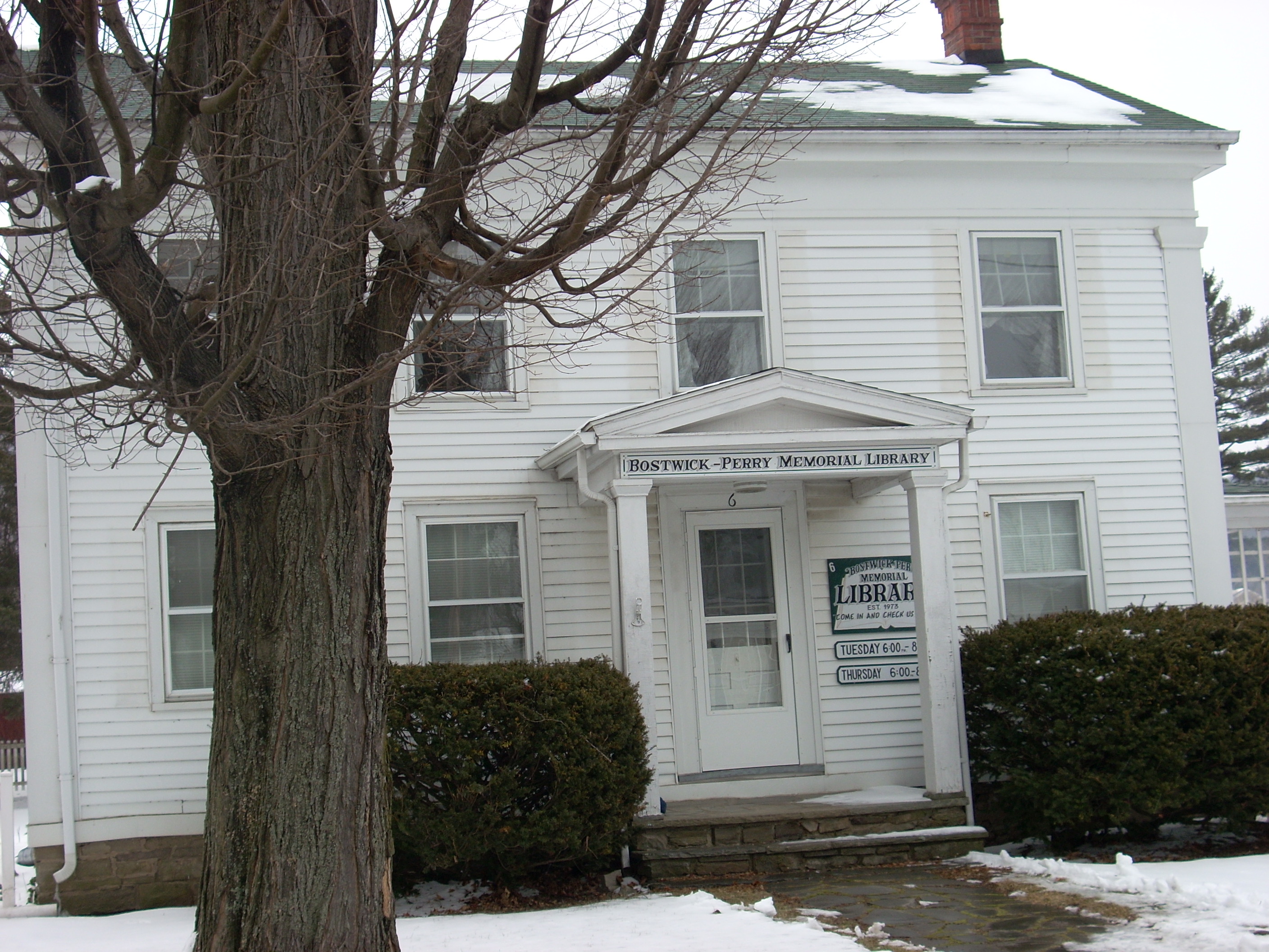
imagesize =
image_caption = The Bostwick-Perry Memorial Library
flag_size =
image_
seal_size =
image_shield =
shield_size =
image_blank_emblem =
blank_emblem_size =
mapsize = 250x200px
map_caption =
mapsize1 =
map_caption1 =
image_dot_
dot_mapsize =
dot_map_caption =
dot_x =
dot_y =
|pushpin_
pushpin_label_position =left
pushpin_map_caption =Location within the state of Pennsylvania
pushpin_mapsize =
pushpin_label_position = bottom
pushpin_map_caption =
pushpin_mapsize =
subdivision_type = Country
subdivision_name =United States
subdivision_type1 = State
subdivision_name1 =Pennsylvania
subdivision_type2 = County
subdivision_name2 = Tioga
subdivision_type3 =
subdivision_name3 =
subdivision_type4 =
subdivision_name4 =
government_footnotes =
government_type =
leader_title =
leader_name =
leader_title1 =
leader_name1 =
leader_title2 =
leader_name2 =
leader_title3 =
leader_name3 =
leader_title4 =
leader_name4 =
established_title = Settled
established_date = 1793
established_title2 = Incorporated (borough)
established_date2 = 1831
area_magnitude =
unit_pref =
unit_pref = Imperial
area_footnotes =
area_total_km2 = 1.4
area_land_km2 =
area_water_km2 =
area_total_sq_mi = 0.6
area_land_sq_mi =
area_water_sq_mi =
area_water_percent =
area_urban_km2 =
area_urban_sq_mi =
area_metro_km2 =
area_metro_sq_mi =
area_blank1_title =
area_blank1_km2 =
area_blank1_sq_mi =
population_as_of = 2000
population_footnotes =
population_note =
population_total = 627
population_density_km2 = 196.6
population_density_sq_mi = 510.5
population_metro =
population_density_metro_km2 =
population_density_metro_sq_mi =
population_urban =
population_density_urban_km2 =
population_density_urban_sq_mi =
population_blank1_title =
population_blank1 =
population_density_blank1_km2 =
population_density_blank1_sq_mi =
timezone = Eastern (EST)
utc_offset =
timezone_DST = EDT
utc_offset_DST =
latd = 41
latm = 59
lats = 45
latNS = N
longd = 77
longm = 07
longs = 45
longEW = W
elevation_footnotes =
elevation_m =
elevation_ft = 997
postal_code_type = Zip
postal_code = 16929
area_code = 570
blank_name =
blank_info =
blank1_name =
blank1_info =
website =
footnotes =Lawrenceville is a borough in Tioga County,
Pennsylvania ,United States . The population was 627 at the 2000 census.Geography
Lawrenceville is located at coor dms|41|59|48|N|77|7|31|W|city (41.996564, -77.125159)GR|1. It is at the intersection of
Pennsylvania Route 287 andPennsylvania Route 49 . The onlytraffic light in town can be found at this intersection. Lawrenceville is on the banks of theTioga River andCowanesque River . Theconfluence of these streams is just outside of downtown Lawrenceville.Cowanesque Lake , aUS Army Corps of Engineers flood prevention lake is just to the west of town on Pennsylvania Route 49.According to the
United States Census Bureau , the borough has a total area of 0.6square mile s (1.4km² ), all of it land.The community is at the New York state line so that part of it is in the Town of Lindley in
Steuben County, New York .Demographics
As of the
census GR|2 of 2000, there were 627 people, 262 households, and 175 families residing in the borough. Thepopulation density was 1,143.2 people per square mile (440.2/km²). There were 280 housing units at an average density of 510.5/sq mi (196.6/km²). The racial makeup of the borough was 99.20% White, 0.32% African American, 0.16% Native American and 0.32% Asian. Hispanic or Latino of any race were 0.48% of the population.There were 262 households out of which 30.9% had children under the age of 18 living with them, 46.9% were married couples living together, 13.4% had a female householder with no husband present, and 33.2% were non-families. 27.9% of all households were made up of individuals and 13.7% had someone living alone who was 65 years of age or older. The average household size was 2.34 and the average family size was 2.81.
In the borough the population was spread out with 24.6% under the age of 18, 9.7% from 18 to 24, 27.0% from 25 to 44, 19.6% from 45 to 64, and 19.1% who were 65 years of age or older. The median age was 37 years. For every 100 females there were 95.3 males. For every 100 females age 18 and over, there were 89.2 males.
The median income for a household in the borough was $29,896, and the median income for a family was $36,250. Males had a median income of $32,171 versus $25,833 for females. The
per capita income for the borough was $16,127. About 14.5% of families and 15.7% of the population were below thepoverty line , including 27.0% of those under age 18 and 3.3% of those age 65 or over.References
External links

Wikimedia Foundation. 2010.