- Samuel S. Lewis State Park
Geobox Protected Area
name = Samuel S. Lewis State Park
native_name =
other_name =
other_name1 =
category_local = Pennsylvania State Park
category_iucn = III
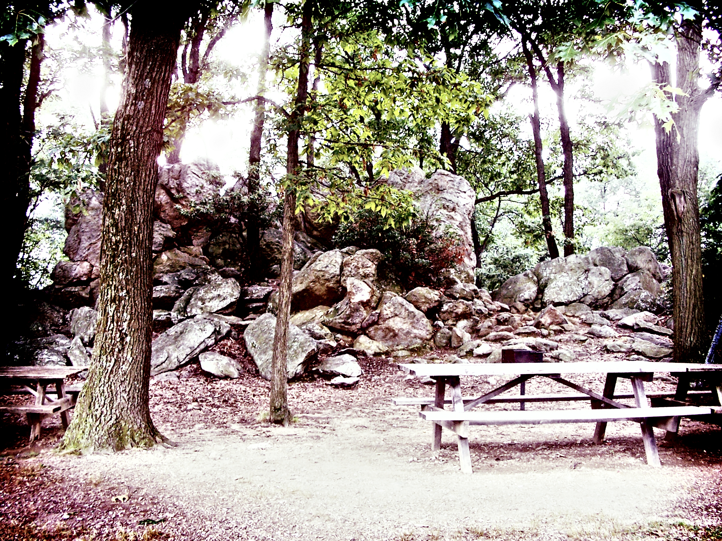
image_caption = An artistic photo of a scene at Samuel S. Lewis State Park
etymology_type = Named for
etymology = Samuel S. Lewis
country = United States
state = Pennsylvania
region_type = County
region = York
district_type = Township
district = Lower Windsor Township
city =
city1 =
location =
lat_d = 39
lat_m = 59
lat_s = 47
lat_NS = N
long_d = 76
long_m = 32
long_s = 57
long_EW = W
location_note = cite web | url=Gnis3|1198244 | title="Samuel S. Lewis State Park" | date =August 30 1990 | work=Geographic Names Information System | publisher=United States Geological Survey | accessdate=2007-12-18]
elevation_imperial = 689
elevation_round = 1
elevation_note =
area_unit = acre
area_imperial = 85
area_round = 1
area_note =
area1_imperial =
area1_type =
length_imperial =
length_orientation =
width_imperial =
width_orientation =
highest =
highest location =
highest_lat_d =
highest_lat_m =
highest_lat_s =
highest_lat_NS =
highest_long_d =
highest_long_m =
highest_long_s =
highest_long_EW =
highest_elevation_imperial =
lowest =
lowest_location =
lowest_lat_d =
lowest_lat_m =
lowest_lat_s =
lowest_lat_NS =
lowest_long_d =
lowest_long_m =
lowest_long_s =
lowest_long_EW =
lowest_elevation_imperial =
biome =
biome_share =
biome1 =
biome1_share =
geology =
geology1 =
plant =
plant1 =
animal =
animal1 =
established_type =
established = 1954
established1_type =
established1 =
management_body = Pennsylvania Department of Conservation and Natural Resources
management_location =
management_lat_d =
management_lat_m =
management_lat_s =
management_lat_NS =
management_long_d =
management_long_m =
management_long_s =
management_long_EW =
management_elevation =
visitation =
visitation_year =
free_type =
free =
free1_type =
free1 =

map_caption = Location of Samuel S. Lewis State Park in Pennsylvania
map_locator = Pennsylvania
map_first =
website = [http://www.dcnr.state.pa.us/stateparks/parks/samuelslewis.aspx Samuel S. Lewis State Park]Samuel S. Lewis State Park is a 85 acre (0.34 km²) Pennsylvania state park in Lower Windsor Township, York County,
Pennsylvania in the United States. Mt. Pisgah is an convert|885|ft|m|sing=on high ridge that is the focus of recreation for the park. The ridge separates East Prospect Valley fromKreutz Creek Valley. An overlook on Mt. Pisgah gives visitors of view of theSusquehanna River Valley. Samuel S. Lewis Park is twelve mile (19 km) east of York nearU.S. Highway 30 .History
The land on which Samuel S. Lewis Park can together from four different pieces of property. Samuel S. Lewis, the namesake of the park, donated his 35 acre farm to the Commonwealth of Pennsylvania in 1954. Walter Stine sold his one acre
arboretum to the state in the same year. The state bought an additional 15 acres from the Almoney Farm to complete the initial parcel of park land. The last piece came into place in 1999 when the state purchased 14 more acres of land.cite web
url = http://www.dcnr.state.pa.us/stateparks/Parks/samuelslewis.aspx
title = Samuel S. Lewis State Park
accessdate = 2006-11-04
publisher =Pennsylvania Department of Conservation and Natural Resources ]Recreation
Samuel S. Lewis State Park offers recreational opportunities for many visitors. Picnic tables are available on a first come first served basis and three pavilions may be reserved for day use. There is a one mile (1.6 km) hiking trail through a pine forest bypassing some rock formations. The crest of Mt. Pisgah is ideal for
kite flying. Kite flying clubs gather here to hone their skills and offer help to novice kite flyers.cenic View
Mt. Pisgah is the highest point in the area. The scenic view atop Mt. Pisgah offers a panoramic view of the surrounding towns, fields, and the Susquehanna River. It has become a popular spot for astronomical observation as clubs frequently hold star gazing events at the overlook. The summit of Mt. Pisgah is also a popular site for weddings.
Nearby state parks
The following state parks are within convert|30|mi|km|0 of Samuel S. Lewis State Park: [cite web
url = http://www.dcnr.state.pa.us/stateparks/parks/region_dutch.aspx
title = Map Location Reference
accessdate = 2006-11-04
publisher =Pennsylvania Department of Conservation and Natural Resources ] cite web
last = Michels
first = Chris
year = 1997
url = http://www2.nau.edu/~cvm/latlongdist.html
title = "Latitude/Longitude Distance Calculation"
publisher =Northern Arizona University
accessdate = 2008-04-23] [cite map |scale = 1:65,000| publisher= Pennsylvania Department of Transportation, Bureau of Planning and Research, Geographic Information Division
url= ftp://ftp.dot.state.pa.us/public/pdf/BPR_pdf_files/Maps/GHS/Roadnames/york_GHSN.PDF
title= 2007 General Highway Map York County Pennsylvania
accessdate= 2007-07-28 "Note: shows Samuel S. Lewis State Park"]
*Codorus State Park (York County)
*Gifford Pinchot State Park (York County)
*Gunpowder Falls State Park (Maryland )
*Rocks State Park (Maryland)
*Susquehannock State Park (Lancaster County)References
External links
*
Wikimedia Foundation. 2010.