- Eugene T. Mahoney State Park
-
Eugene T. Mahoney State Park Nebraska State Park 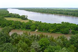
Country  United States
State  Nebraska
County Cass Location Ashland - elevation 1,191 ft (363 m) [1] - coordinates 41°01′35″N 96°18′51″W / 41.02639°N 96.31417°W Area 706 acres (286 ha) - Water 16 acres (6 ha) 
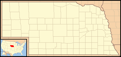
 Location of Eugene T. Mahoney State Park in Nebraska
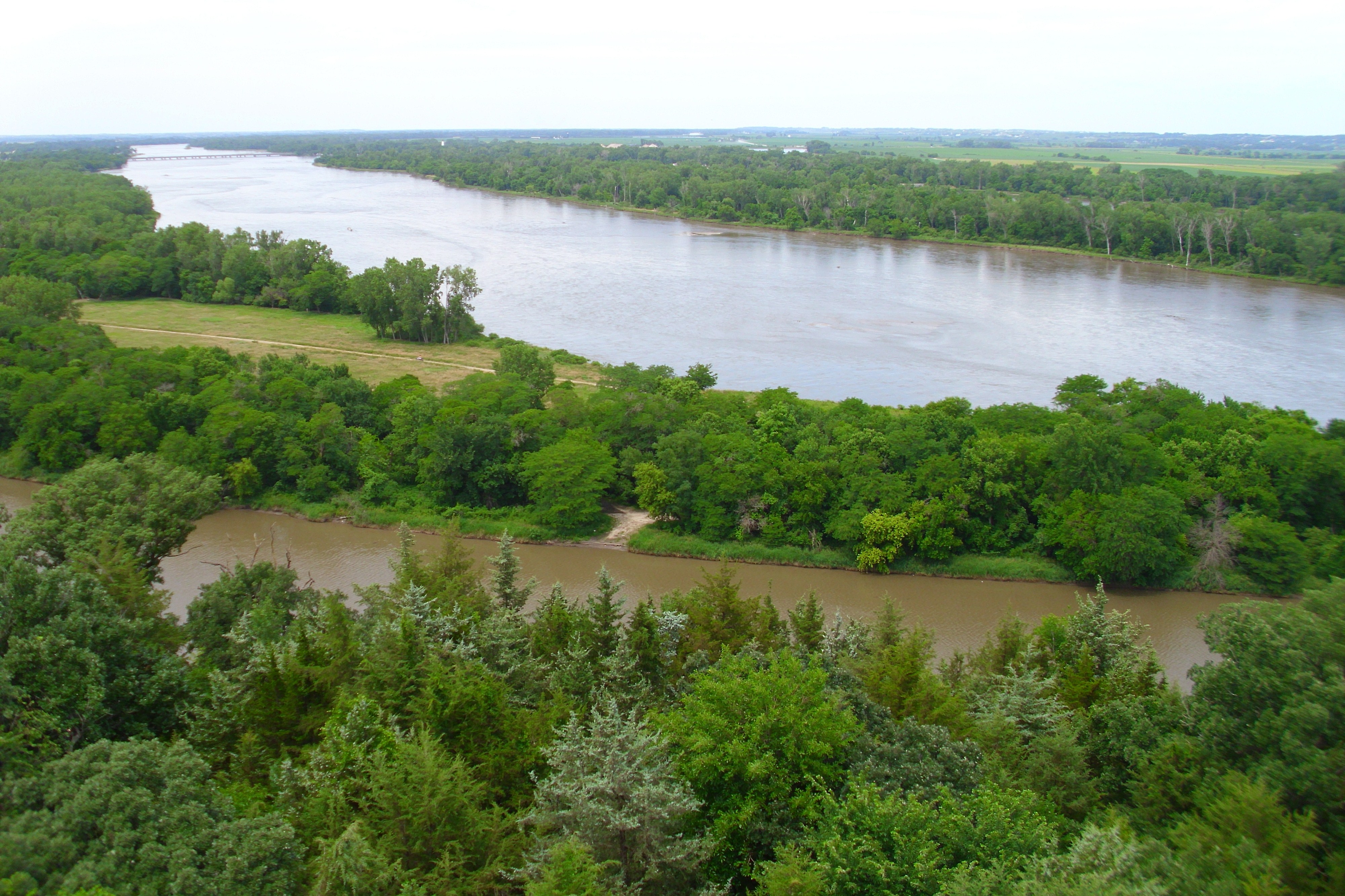
Eugene T. Mahoney State Park is a state park of Nebraska, USA, on the Platte River. The park is located just off Interstate 80 near Ashland, Nebraska, approximately 20 miles (32 km) from the Omaha – Council Bluffs metropolitan area.
Contents
History
Mahoney State Park, as it is typically referred to, was named after Eugene T. Mahoney, a former policeman, state senator, and director of the Nebraska Game and Parks Commission. Mahoney was seen as a very powerful man in politics, state government, and throughout the business community. When he took over the Game and Parks Commission, the Nebraska state parks began to grow and greatly improve. He was able to gather contributions to improve facilities statewide, particularly for the park that was to be later named after him.
Features
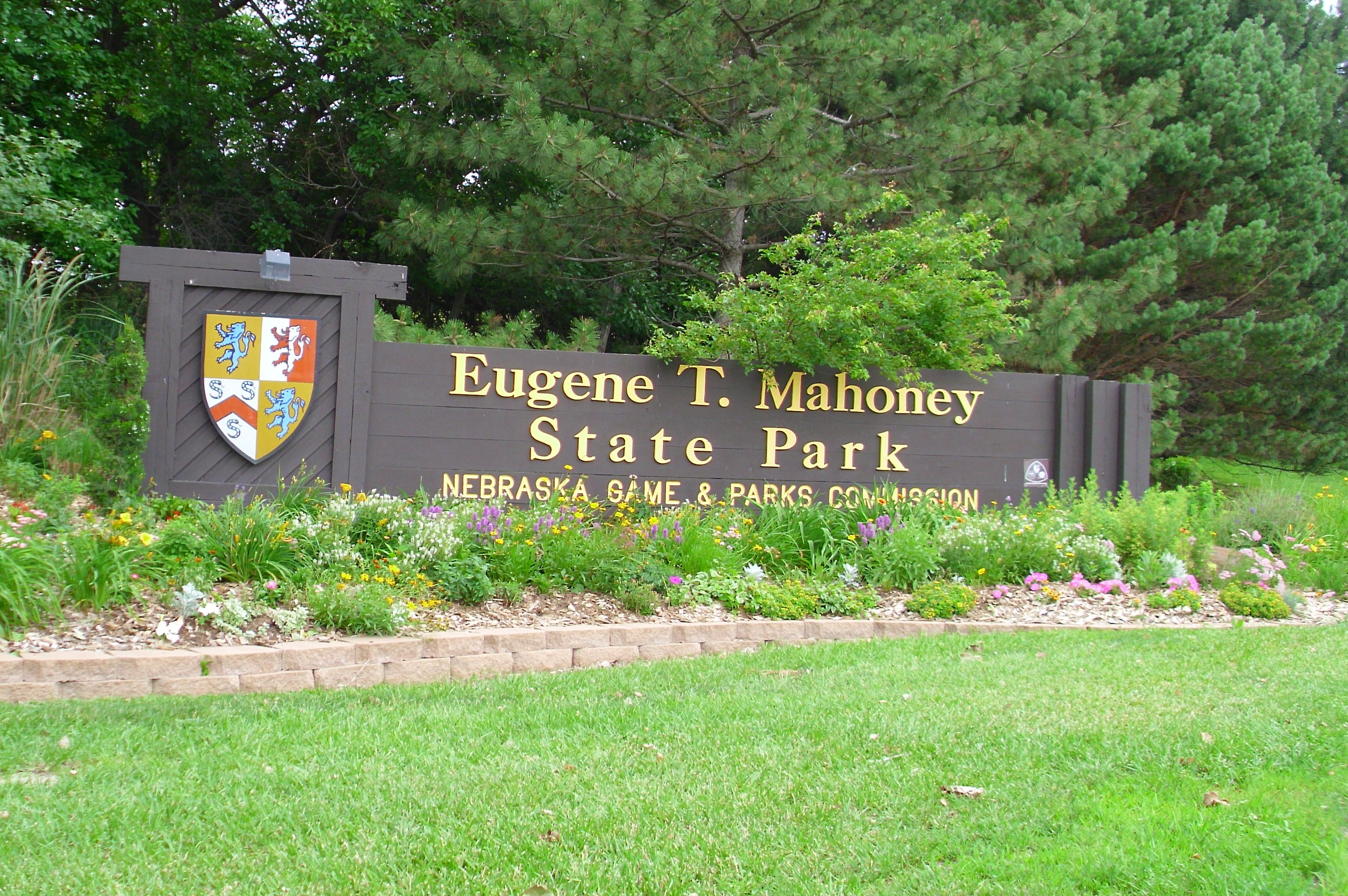
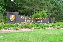 The park entrance sign
There are a number of activities and features at the park. They include horseback trail rides, fishing, a marina with paddleboat rental, miniature golf and a driving range. Athletic facilities include an aquatic center, tennis and basketball courts, and softball fields. There are also extensive picnicking areas and hiking trails, as well as a 70-foot (21 m) observation tower overlooking the Platte River Valley. There are also winter activities, including cross country skiing, sledding and toboggan runs, ice fishing, and an ice skating rink. An activity center, indoor playground and activity simulators are open year-round. The Kountze Theater is a cultural highlight of the park.
The park is located near several other tourist attractions including the Platte River State Park, the Strategic Air and Space Museum, the Conservation Park and Wildlife Safari, and several golf courses.
Lodging
The Eugene T. Mahoney State Park features new and renovated cabins with housekeeping that are available year round. They are located in secluded, wooded areas of the park. The Peter Kiewit Lodge provides 40 guest rooms and a restaurant.
See also
References
- "Eugene T. Mahoney State Park." Retrieved September 8, 2008.
External links
Federal National MonumentsNational Historic TrailsNational Recreation AreasNational Wildlife RefugesState State ParksChadron · Eugene T. Mahoney · Fort Robinson · Indian Cave · Niobrara · Platte River · Ponca · Smith Falls
State Historical ParksAshfall Fossil Beds · Ash Hollow · Arbor Lodge · Bowring Ranch · Buffalo Bill Ranch · Champion Mills · Fort Atkinson · Fort Hartsuff · Fort Kearny · Rock Creek Station
State Recreation AreasAlexandria · Arnold · Atkinson Lake · Blue River · Bluestem · Bowman Lake · Box Butte Reservoir · Branched Oak · Bridgeport · Brownville · Calamus · Champion Lake · Cheyenne · Conestoga · Cottonmill · Crystal Lake · Dead Timber · DLD · Enders Reservoir · Fort Kearny · Fremont Lakes · Gallagher Canyon · Johnson Lake · Keller Park · Lake Maloney · Lake McConaughy · Lake Minatare · Lake Ogallala · Lewis and Clark · Long Lake · Long Pine · Louisville · Medicine Creek · Memphis · Merritt Reservoir · Mormon Island · North Loup · Olive Creek · Oliver Reservoir · Pawnee Lake · Pelican Point · Pibel Lake · Pioneer · Red Willow Reservoir · Riverview Marina · Rock Creek Lake · Rock Creek Station · Rockford · Sandy Channel · Schramm Park · Sherman Reservoir · Stagecoach · Summit Lake · Sutherland Reservoir · Swanson Reservoir · Two Rivers · Union Pacific · Verdon · Victoria Springs · Wagon Train · Walgren Lake · War Axe · Wildcat Hills · Willow Creek · Windmill
State Recreation TrailsNebraska Game and Parks Commission (web) Categories:- Protected areas of Cass County, Nebraska
- Nebraska state parks
Wikimedia Foundation. 2010.