- North Platte National Wildlife Refuge
-
North Platte National Wildlife Refuge IUCN Category IV (Habitat/Species Management Area)

Location Scotts Bluff County, Nebraska, USA Nearest city Scottsbluff, NE Coordinates 41°56′59″N 103°32′14″W / 41.94972°N 103.53722°WCoordinates: 41°56′59″N 103°32′14″W / 41.94972°N 103.53722°W Area 5,047 acres (20.42 km2) Established August 21, 1916 Governing body U.S. Fish and Wildlife Service North Platte National Wildlife Refuge is located in the U.S. state of Nebraska and includes 5,047 acres (20.42 km2). Managed by the U.S. Fish and Wildlife Service, the refuge is broken into four separate sections that are superimposed on U.S. Bureau of Reclamation–managed lakes and reservoirs. Together with the Crescent Lake National Wildlife Refuge, the two refuges form the Crescent Lake National Wildlife Refuge Complex.
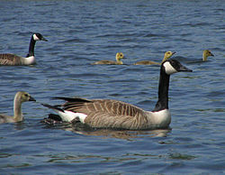 Canada geese with offspring
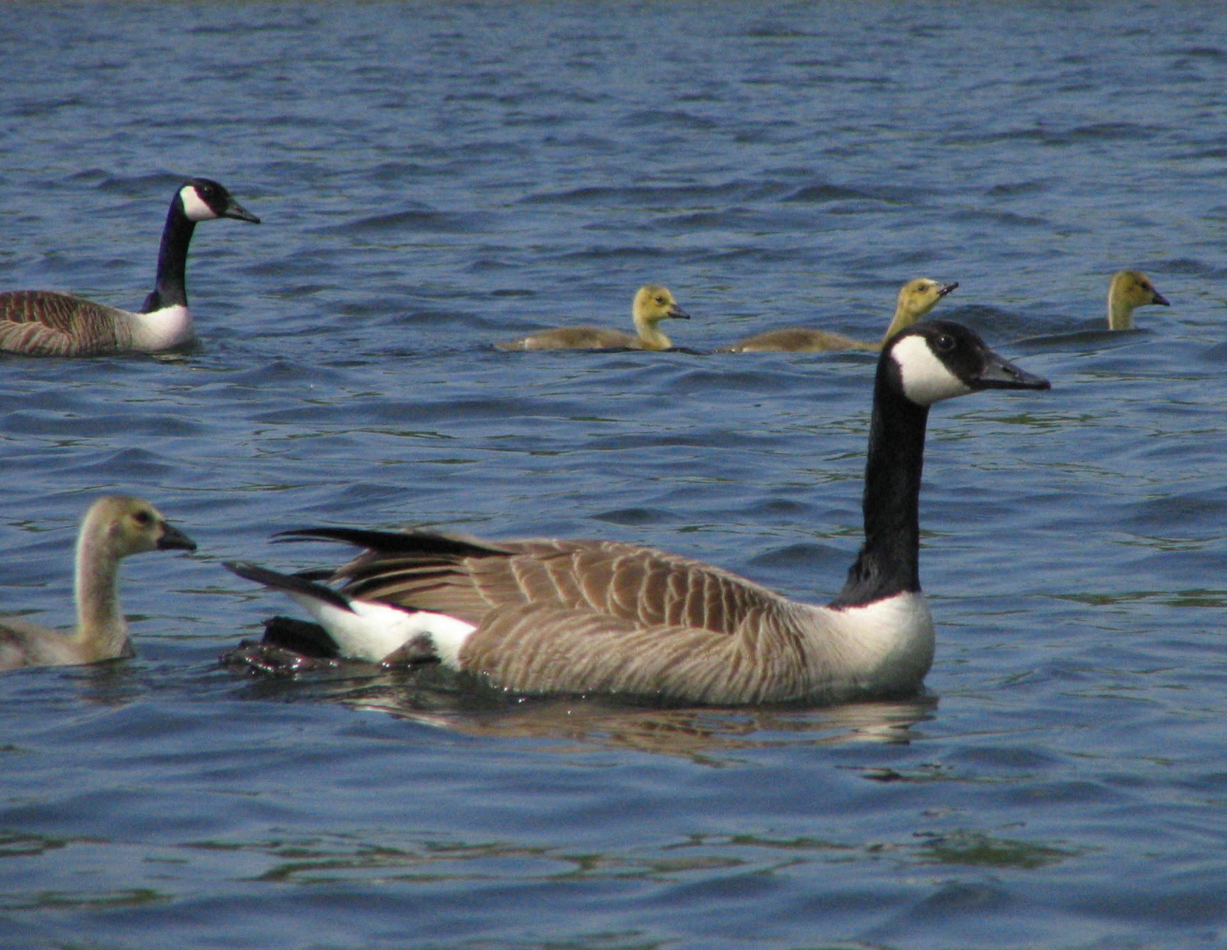
Within the refuge is the longest continuously used bald eagle nesting site in the state of Nebraska. Since 1994, an average of two eaglets per year have been produced from this one nest alone. During fall migrations, 200,000 ducks, Canada geese, herons, and other waterfowl are known to use the refuge when migrating south. Since 1975, over 200 species of birds have been reported, which makes this refuge one of the finest for bird watching in the U.S. Pronghorn, mule deer, and white-tailed deer, along with beaver, raccoon, prairie dog, and bobcat are some of the 40 species of mammal known to inhabit the refuge. Sport fishing is popular, with largemouth bass, walleye, and yellow perch considered the best game species.
The main section of the refuge is located 8 miles (12.87 km) northwest of Scottsbluff, Nebraska.
See also
- Lake Minatare Lighthouse
External links
- "North Platte National Wildlife Refuge". U.S. Fish and Wildlife Service. http://crescentlake.fws.gov/northplatte/index.html. Retrieved 2006-08-16.
- "North Platte National Wildlife Refuge". Recreation-areas.com. http://www.recreation-areas.com/area/1539. Retrieved 2011-08-28.
- "Bird Checklists of the United States". Bird Checklists of the United States. USGS Northern Prairie Wildlife Research Center. http://www.npwrc.usgs.gov/resource/othrdata/chekbird/r6/noplatte.htm. Retrieved 2006-08-16.
Federal National MonumentsNational Historic TrailsNational Recreation AreasNational Wildlife RefugesBoyer Chute · Crescent Lake · DeSoto · Fort Niobrara · John and Louise Seier · Karl E. Mundt · North Platte · Rainwater Basin · Valentine
State State ParksChadron · Eugene T. Mahoney · Fort Robinson · Indian Cave · Niobrara · Platte River · Ponca · Smith Falls
State Historical ParksAshfall Fossil Beds · Ash Hollow · Arbor Lodge · Bowring Ranch · Buffalo Bill Ranch · Champion Mills · Fort Atkinson · Fort Hartsuff · Fort Kearny · Rock Creek Station
State Recreation AreasAlexandria · Arnold · Atkinson Lake · Blue River · Bluestem · Bowman Lake · Box Butte Reservoir · Branched Oak · Bridgeport · Brownville · Calamus · Champion Lake · Cheyenne · Conestoga · Cottonmill · Crystal Lake · Dead Timber · DLD · Enders Reservoir · Fort Kearny · Fremont Lakes · Gallagher Canyon · Johnson Lake · Keller Park · Lake Maloney · Lake McConaughy · Lake Minatare · Lake Ogallala · Lewis and Clark · Long Lake · Long Pine · Louisville · Medicine Creek · Memphis · Merritt Reservoir · Mormon Island · North Loup · Olive Creek · Oliver Reservoir · Pawnee Lake · Pelican Point · Pibel Lake · Pioneer · Red Willow Reservoir · Riverview Marina · Rock Creek Lake · Rock Creek Station · Rockford · Sandy Channel · Schramm Park · Sherman Reservoir · Stagecoach · Summit Lake · Sutherland Reservoir · Swanson Reservoir · Two Rivers · Union Pacific · Verdon · Victoria Springs · Wagon Train · Walgren Lake · War Axe · Wildcat Hills · Willow Creek · Windmill
State Recreation TrailsCategories:- IUCN Category IV
- National Wildlife Refuges in Nebraska
- Protected areas of Scotts Bluff County, Nebraska
- Nebraska geography stubs
- Midwestern United States protected area stubs

Wikimedia Foundation. 2010.