- Milton State Park
-
Milton State Park Pennsylvania State Park Natural Monument (IUCN III)  Soccer fields, picnic tables, and the Pennsylvania Route 642 Bridge on Milton State Park
Named for: Milton, Pennsylvania Country United States State Pennsylvania County Northumberland Borough Milton Location [1] - coordinates 41°01′15″N 76°51′41″W / 41.02083°N 76.86139°WCoordinates: 41°01′15″N 76°51′41″W / 41.02083°N 76.86139°W - elevation 453 ft (138 m) [1] Area 82 acres (33 ha) Founded 1966 Managed by Pennsylvania Department of Conservation and Natural Resources 
 Location of Milton State Park in Pennsylvania
Website : Milton State Park Milton State Park is an 82 acres (33 ha) Pennsylvania state park in Milton in Northumberland County, Pennsylvania in the United States. The park is on Montgomery Island in the West Branch Susquehanna River, just east of the village of West Milton in Union County. Milton State Park is on Pennsylvania Route 642.
Contents
History
The recorded history of Milton State Park begins in 1762 when Marcus Huling Jr. made a claim on the island in the West Branch Susquehanna River. Huling planted an apple orchard on what was to become known as Montgomery Island.[2]
Ownership of the island eventually transferred to the Straub Family. The Straubs built a dam across part of the river in 1824. The Straubs ran a sawmill and gristmill on the island and built a bridge between the island to the banks of the West Branch Susquehanna River.[2] In time, the mills closed and the land was used for farming. The island was no longer used for farming by the early 1900s.[2]
Over the next 60 years the island was divided among several owners and used as a picnic ground with several athletic fields. The Milton Rotary Club and the Borough of Milton worked together to consolidate the deeds and transferred ownership of Montgomery Island to the Commonwealth of Pennsylvania in 1966.[2]
Hurricane Agnes wiped out the newly created Milton State Park in 1972. The island and much of Pennsylvania in the Susquehanna River watershed was flooded extensively by the hurricane. The park was eventually rebuilt with federal disaster relief funds.[2]
Nature
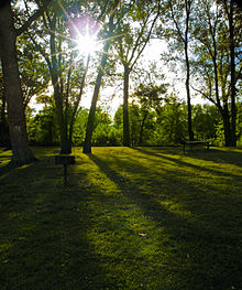 A late summer afternoon at the park
Milton State Park is within sight of downtown Milton, Pennsylvania. This does not mean that it lacks for natural beauty. The island is surrounded by the waters of the West Branch Susquehanna River and the southern part of the island is not developed. It is covered in a forest of river birch, silver maple and sycamore trees. Milton State Park is a haven for migrating birds and waterfowl.[2]
Recreation
There are several soccer and softball fields that are used by the residents of West Milton and Milton for recreational and church league events. Montgomery Island is stopping point for those exploring the river in canoes and kayaks. Milton State Park is handy to the fisherman interested in taking a short trip from Milton or West Milton for a day of fishing for catfish, panfish, bass, northern pike and muskellunge. There is 1 mile (1.6 km) of hiking trail on the northern side of the park.[2]
The northern side of the park has ample picnic facilities. Families will find many picnic tables and charcoal grills for their use. There also is access to fresh drinking water and restroom facilities.[2]
Nearby state parks
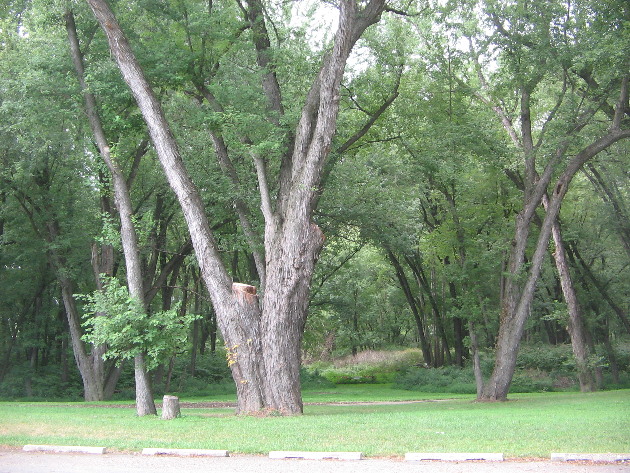
 Much of Milton State Park is not developed.
The following state parks are within 30 miles (48 km) of Milton State Park:[3][4][5]
- McCalls Dam State Park (Centre County)
- Ravensburg State Park (Clinton County)
- R. B. Winter State Park (Union County))
- Sand Bridge State Park (Union County)
- Shikellamy State Park (Union and Northumberland Counties)
- Susquehanna State Park (Lycoming County)
References
- ^ a b "Milton State Park". Geographic Names Information System. United States Geological Survey. August 30, 1990. http://geonames.usgs.gov/pls/gnispublic/f?p=gnispq:3:::NO::P3_FID:1198261. Retrieved 2008-06-15.
- ^ a b c d e f g h "Milton State Park". Pennsylvania Department of Conservation and Natural Resources. http://www.dcnr.state.pa.us/stateparks/Parks/milton.aspx. Retrieved 2006-10-18.
- ^ "Find a Park by Region (interactive map)". Pennsylvania Department of Conservation and Natural Resources. http://www.dcnr.state.pa.us/stateparks/findapark/where/index.htm. Retrieved November 18, 2011.
- ^ Michels, Chris (1997). "Latitude/Longitude Distance Calculation". Northern Arizona University. http://www2.nau.edu/~cvm/latlongdist.html. Retrieved 2008-04-23.
- ^ Pennsylvania Department of Transportation, Bureau of Planning and Research, Geographic Information Division (PDF). "2007 General Highway Map Montour County and Northumberland County Pennsylvania" (Map). 1:65,000. ftp://ftp.dot.state.pa.us/public/pdf/BPR_pdf_files/Maps/GHS/Roadnames/northumberland_montour_GHSN.PDF. Retrieved 2007-07-28.Note: shows Milton State Park
External links
- Milton State Park Official mapPDF (115 KB)
Categories:- Pennsylvania state parks
- Protected areas established in 1966
- Parks in Northumberland County, Pennsylvania


Wikimedia Foundation. 2010.