- Ontario Highway 4
-
Highway 4

Location of Highway 4 in Southern Ontario
Current route Former routeRoute information Length: 100.8 km[2] (62.6 mi) Existed: February 26, 1920[1] – present Major junctions South end:  Highway 3 – St. Thomas
 Highway 401
 Highway 402
 Highway 7
North end:  Highway 8 – Clinton
Location Major cities: St. Thomas, London Towns: Exter, Clinton Highway system Ontario provincial highways
400-series • Former←  Highway 3
Highway 5  →
→King's Highway 4, also known as Highway 4, is a provincially maintained highway in the Canadian province of Ontario. Originally much longer than its present 100.8 km (62.6 mi) length, more than half of Highway 4 was transferred to the responsibility of local governments in 1998. In its present form, it travels between Highway 3 in Talbotville Royal, north-west of St. Thomas, and Highway 8 in Clinton.
Highway 4 was first designated in 1920, when a 27 km (17 mi) route between Talbotville Royal and Elginfield was assumed by the Department of Highways. Over the next half century it was extended north and east to Highway 24 near Singhampton, and south to Port Stanley.
Contents
Route Description
In its present form, Highway 4 travels through Talbotville Royal, Tempo, Scottsville, Lambeth, London, Northcrest, Uplands, Arva, Birr, Elginfield, Lucan, Clandeboye, Mooresville, Centralia, Exeter, Hay, Hensall, Kippen, Brucefield, Vanastra, and Clinton.
Highway 4 travels through the following municipalities: Southwold Township, London, Middlesex Centre Township, Lucan Biddulph Township, North Middlesex, South Huron, Bluewater, and Central Huron.
As of April 2008, Highway 4 officially does not exist within the City of London except south of Glanworth Drive, but instead is now signed with green "TO 4" trailblazer crown signs. The City was considering alternate routes for Highway 4 through the city in the early 2000s but this never materialized. Further north in Clinton, Highway 4 ends at the southern limits, though it remains signed.
History
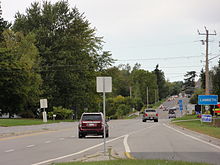
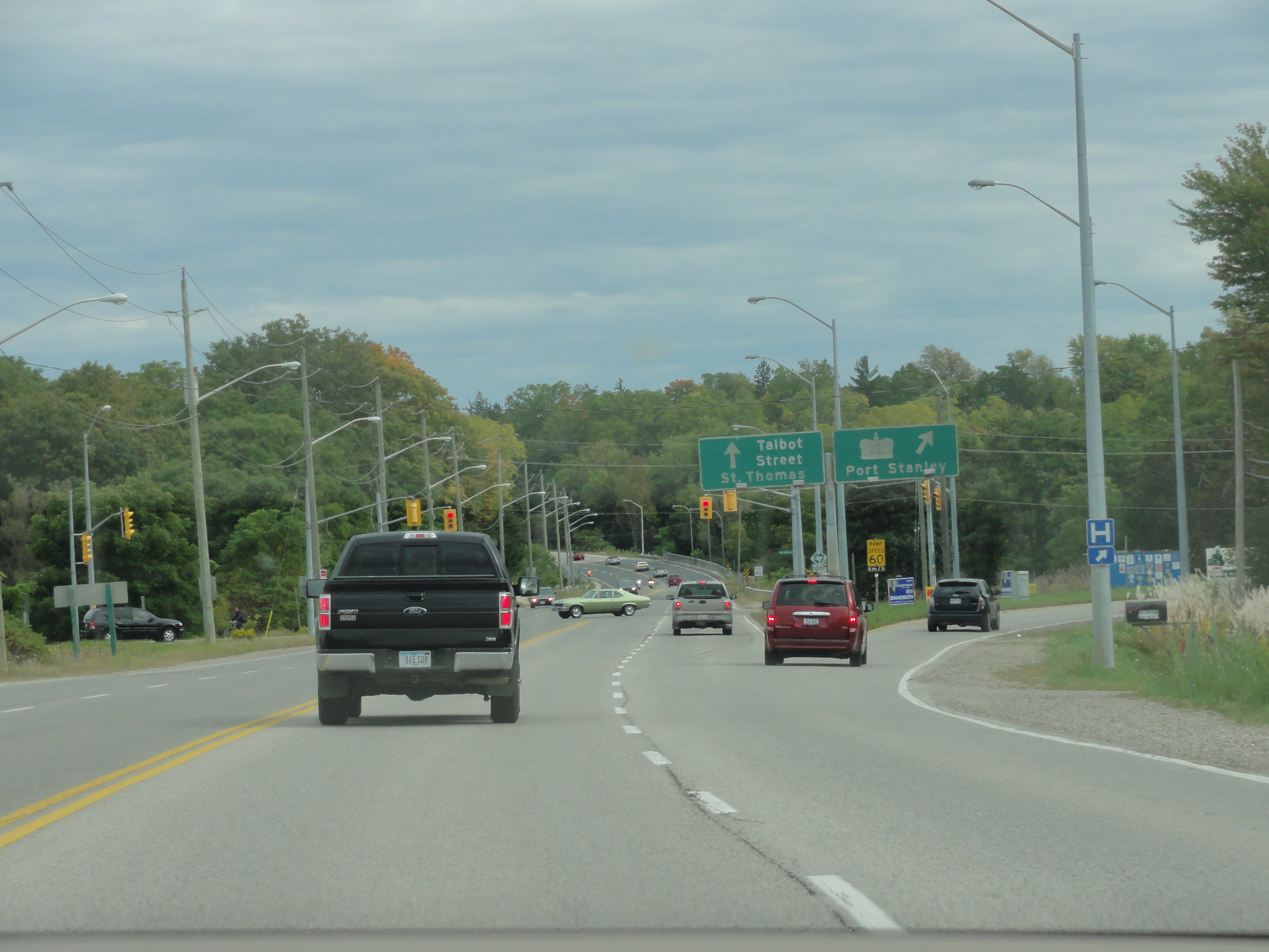
 The Highway 4 / Talbot Street junction in Saint Thomas.
The King's Highway 4 was originally designated in 1920 when the provincial government assumed the road running from Talbotville Royal to Elginfield through London. In 1927, the highway was further extended with the assumption of the road from Elginfield to Clinton. In the 1930s, the highway was again extended as far as the intersection of Highway 10 in Flesherton. In the 1970s, Highway 4 reached its maximum length when it was extended from Flesherton to Singhampton. However, in 1998, the Mike Harris government, seeking to balance the provincial budget, off-loaded responsibility for the Clinton–Singhampton section of Highway 4—almost 65% of its total length—back onto municipal governments.
Major intersections
County Location km[2] Destinations Notes Elgin Talbotville Royal 0.0 Highway 3 – St. Thomas6.0 Highway 401 – Chatham, WoodstockExit 177[2] Middlesex London 10.5 Highway 402 – Sarnia12.5 Longwoods Road / Colonel Talbot Road Formerly Highway 2 west 23.1 Dundas Street Formerly Highway 2 east Arva 31.6 County Road 28 (Medway Road) 37.2 County Road 16 (Ilderton Road) Elginfield 45.4 Highway 7
County Road 22 (Elginfield Road)Clandeboye 54.3 County Road 28 (Denfield Road) Mooresville 58.1 Mooresville Drive Huron Centralia 64.2 County Road 21 Exeter 72.4 County Road 83 (Thames Road) Formerly Highway 83 Hensall 80.3 County Road 84 (King Street) Formerly Highway 84 Kippen 84.3 County Road 12 (Kippen Road) Brucefield 90.4 County Road 3 (Mill Road) Clinton 100.8 Highway 8References
- ^ Shragge 1984, p. 74.
- ^ a b c Ministry of Transportation of Ontario (2004). "Annual Average Daily Traffic (AADT) counts". http://www.raqsb.mto.gov.on.ca/techpubs/TrafficVolumes.nsf/tvweb?OpenForm&Seq=5. Retrieved February 26, 2010.
External links
The King's Highways of Ontario Current highwaysFormer highways- 2A
- 2B
- 2S
- 3B
- 4A
- 5A
- 7B
- 8A
- 12B
- 14
- 15A
- 18
- 18A
- 22
- 24A
- 25
- 27
- 29
- 30
- 31
- 32
- 35A
- 35B
- 36
- 38
- 39
- 40B
- 42
- 43
- 44
- 45
- 46
- 47
- 48B
- 50
- 51
- 52
- 53
- 54
- 55
- 56
- 57
- 59
- 68
- 70
- 73
- 74
- 75
- 76
- 78
- 79
- 80
- 81
- 82
- 83
- 84
- 86
- 87
- 88
- 90
- 91
- 92
- 95
- 96
- 97
- 98
- 99
- 100
- 103
- 104
- 106
- 107
- 109
- 110
- 111
- 114
- 116
- 117
- 119
- 120
- 121
- 122
- 123
- 126
- 128
- 131
- 133
- 134
- 135
- 136
- 169
- 400A
- 401A
County roads in Ontario · Ontario numbered highways · Expressways and 400-series highways · King's Highways · Secondary highways · Tertiary and 7000-series highways · List of Ontario provincial highways · List of former provincial highways in Ontario · Highways in Ontario · List of Ontario expressways · Trans-Canada Highway · Connecting Link · Emergency Detour RouteRoads in London, Ontario Provincial Highways: Freeways: Expressways: Main North-South Arterial Roads: Hyde Park Road • Sanitorium Road • Boler Road • Colonel Talbot Road • Wonderland Road • Wharncliffe Road • Western Road • Ridout Street • Richmond Street • Wellington Road • Adelaide Street • Highbury Avenue • Clarke Road • Veterans Memorial ParkwayMain East-West Arterial Roads: Fanshawe Park Road • Gainsborough Road • Windermere Road • Sarnia Road • Huron Street • Oxford Street • Riverside Drive • Dundas Street • York Street • Byron Baseline Road • Springbank Drive • Horton Street • Hamilton Road • Commissioners Road • Southdale Road • Bradley Avenue • Exeter Road • Dingman Drive • Wilton Grove RoadCategories:- Ontario provincial highways


Wikimedia Foundation. 2010.