- Ontario Highway 60
-
Highway 60
Frank A. McDougall Parkway Route information Maintained by the Ministry of Transportation of Ontario Major junctions West end:  Highway 11 – Huntsville
 Highway 127 – Whitney
 Highway 41 – Eganville
East end:  Highway 17 – Renfrew
Highway system Ontario provincial highways
400-series • Former←  Highway 58
Highway 61  →
→King's Highway 60, commonly referred to as Highway 60, is a provincially maintained highway in the Canadian province of Ontario. The highway serves as the primary corridor through Algonquin Provincial Park, where it is dedicated as the Frank McDougall Parkway. East of Algonquin Park, Highway 60 serves east–west traffic in the highlands of central Ontario.
Contents
Route description
 Highway 60 between Barry's Bay and Whitney.
Highway 60 begins at an interchange with Highway 11 in Huntsville. It crosses through central Ontario in a generally east–west orientation. The triangle-shaped area bounded by Highways 11, 17 and 60 is largely uninhabited wilderness dotted with lakes and muskeg.
An Ontario Parks visitor's permit is not required to drive through Algonquin Park or access the Visitor's Centre. However, one is required for the use of any trails or similar facilities within the park boundary. Moose and deer are very common through Algonquin, especially at night and in the morning, and present a major driving hazard.[1]
Highway 60 exits the park in the Township of South Algonquin and carries on east intersecting with Highway 127. Beyond Highway 127, it passes through the Ottawa Valley, following the historic "Opeongo Line" to Barry's Bay and continuing through Golden Lake and Eganville until Renfrew where it ends at a junction with Highway 17.
A 4 km (2.5 mi) section of Highway 60, between Golden Lake and Eganville, is multiplexed with Highway 41.
History
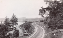 Highway 60 through Algonquin Park circa 1950
Highway 60 was assumed on April 1, 1937, when the Department of Northern Development was amalgamated by the Department of Highways. At that time, Highway 60 ended in Lake Dore, north of Eganville and was 218.2 km (135.6 mi) long.[2] In 1976, the section through Algonquin Park was dedicated in honour of the 35 years of service by Frank Archibald MacDougall: ten years as park superintendent and 25 as Deputy Minister of Lands and Forests. It is referred to as the Frank MacDougall Parkway.[3]
-

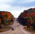
Highway 60 and Algonquin Park are renowned for their autumn display
-
Highway 60 near Smoke Lake in Algonquin Park
-

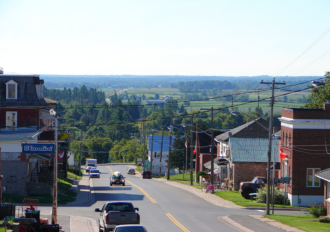
Highway 60 in Douglas
References
- ^ Highway 60 Corridor Map
- ^ Official Ontario Road Map. Department of Highways. 1938.
- ^ "The Flying Superintendent’s Fairchild". The Country Connection, Winter/Spring 1999.
External links
 Media related to Highway 60 (Ontario) at Wikimedia Commons
The King's Highways of Ontario Current highwaysFormer highways- 2A
- 2B
- 2S
- 3B
- 4A
- 5A
- 7B
- 8A
- 12B
- 14
- 15A
- 18
- 18A
- 22
- 24A
- 25
- 27
- 29
- 30
- 31
- 32
- 35A
- 35B
- 36
- 38
- 39
- 40B
- 42
- 43
- 44
- 45
- 46
- 47
- 48B
- 50
- 51
- 52
- 53
- 54
- 55
- 56
- 57
- 59
- 68
- 70
- 73
- 74
- 75
- 76
- 78
- 79
- 80
- 81
- 82
- 83
- 84
- 86
- 87
- 88
- 90
- 91
- 92
- 95
- 96
- 97
- 98
- 99
- 100
- 103
- 104
- 106
- 107
- 109
- 110
- 111
- 114
- 116
- 117
- 119
- 120
- 121
- 122
- 123
- 126
- 128
- 131
- 133
- 134
- 135
- 136
- 169
- 400A
- 401A
County roads in Ontario · Ontario numbered highways · Expressways and 400-series highways · King's Highways · Secondary highways · Tertiary and 7000-series highways · List of Ontario provincial highways · List of former provincial highways in Ontario · Highways in Ontario · List of Ontario expressways · Trans-Canada Highway · Connecting Link · Emergency Detour RouteCategories:- Ontario provincial highways
-


Wikimedia Foundation. 2010.