- Ontario Highway 49
-
Highway 49
Route information Maintained by the Ministry of Transportation of Ontario Length: 5.8 km[2] (3.6 mi) Existed: February 1965[1] – present Major junctions South end: Quinte Skyway to Prince Edward County North end: North limit of Tyendinaga Mohawk Territory Highway system Ontario provincial highways
400-series • Former←  Highway 48
Highway 52  →
→King's Highway 49, commonly referred to as Highway 49, is a provincially maintained highway in the Canadian province of Ontario. Highway 49 currently runs from the Quinte Skyway to the northern boundary of the Tyendinaga Mohawk Territory south of Marysville. Most of the highway is situated within the Tyendinaga reserve.
The total length of Highway 49 is 5.8 kilometres (3.6 mi).
Contents
Route description
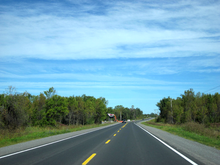 Highway 49 within the Tyendinaga Territory
Highway 49 is a short highway which connects the county maintained roads that once formed a part of it. The province transferred the majority of the route in 1998 to Prince Edward County and Hastings County. However, the section lying within the Tyendinaga Mohawk Territory as well as the Quinte Skyway remain under provincial jurisdiction. At the southern end of the skyway, the route connects with Prince Edward County Road 49, which continues south to Picton, as well as County Road 15 and County Road 35. At the northern end of the skyway, the highway intersects the former Highway 2, which travels east to the town of Deseronto. From there it travels north to approximately 2.1 kilometres (1.3 mi) south of Highway 401, at the northern edge of the Tyendinaga Mohawk Territory.[3]
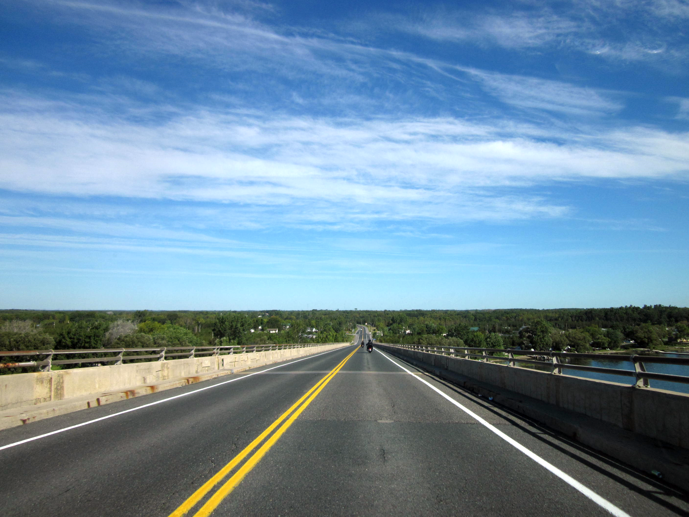
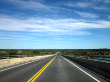 Highway 49 descending the Quinte Skyway
History
Prior to 1998, the road's southern terminus was at Highway 33 in Picton, while the northern terminus was at Highway 401 Marysville.[4]
Old Highway 49
A road in York Region serving Kleinburg was designated as provincial Highway 49 from 1936 until 1961, after which York County assumed the highway. Today it is known as Nashville Road (York Regional Road 49).
Major intersections
The following table lists the major junctions along Highway 49, as noted by the Ministry of Transportation of Ontario.[2][3]
Division Location km[2] Destinations Notes Picton −20.2  Highway 33 (Loyalist Parkway)
Decommissioned January 1, 1998[4] Prince Edward County 0.0 County Road 15 Southern end of Quinte Skyway Hastings County Tyendinaga Mohawk Territory 1.0 County Road 16 – Deseronto Northern end of Quinte Skyway; southern end of Tyendinaga Mohawk Territory 2.4 Dundas Street – Deseronto
York StreetSouthern end of former Highway 2 concurrency 5.8 Tyendinaga Township Road L31 Northern end of Tyendinaga Mohawk Territory; end of Highway 49 Marysville 6.9 Old Highway 2 Northern end of former Highway 2 concurrency; section decommissioned January 1, 1998[4] 7.9  Highway 401 – Toronto, Kingston
Section decommissioned January 1, 1998[4] 1.000 mi = 1.609 km; 1.000 km = 0.621 mi
Concurrency terminus • Closed/Former • Incomplete access • UnopenedReferences
- ^ A.A.D.T. Traffic Volumes 1955–1969 And Traffic Collision Data 1967–1969. Ontario Department of Highways. 1970. p. 118.
- ^ a b c Ministry of Transportation of Ontario (2007). "Annual Average Daily Traffic (AADT) counts". http://www.raqsb.mto.gov.on.ca/techpubs/TrafficVolumes.nsf/tvweb?OpenForm&Seq=5. Retrieved September 9, 2011.
- ^ a b Peter Heiler (2010). Ontario Back Road Atlas (Map). Cartography by MapArt. pp. 14, 20–21, 27, section D–E51. ISBN 978-1-55198-226-7.
- ^ a b c d Highway Transfers List - “Who Does What” (Report). Ministry of Transportation of Ontario. June 20, 2001. p. 6, 13.
External links
The King's Highways of Ontario Current highwaysFormer highways- 2A
- 2B
- 2S
- 3B
- 4A
- 5A
- 7B
- 8A
- 12B
- 14
- 15A
- 18
- 18A
- 22
- 24A
- 25
- 27
- 29
- 30
- 31
- 32
- 35A
- 35B
- 36
- 38
- 39
- 40B
- 42
- 43
- 44
- 45
- 46
- 47
- 48B
- 50
- 51
- 52
- 53
- 54
- 55
- 56
- 57
- 59
- 68
- 70
- 73
- 74
- 75
- 76
- 78
- 79
- 80
- 81
- 82
- 83
- 84
- 86
- 87
- 88
- 90
- 91
- 92
- 95
- 96
- 97
- 98
- 99
- 100
- 103
- 104
- 106
- 107
- 109
- 110
- 111
- 114
- 116
- 117
- 119
- 120
- 121
- 122
- 123
- 126
- 128
- 131
- 133
- 134
- 135
- 136
- 169
- 400A
- 401A
County roads in Ontario · Ontario numbered highways · Expressways and 400-series highways · King's Highways · Secondary highways · Tertiary and 7000-series highways · List of Ontario provincial highways · List of former provincial highways in Ontario · Highways in Ontario · List of Ontario expressways · Trans-Canada Highway · Connecting Link · Emergency Detour RouteCategories:- Ontario provincial highways


Wikimedia Foundation. 2010.