- Ontario Highway 53
-
Highway 53
Oxford County Road 55, Brant County Highway 53, Brant County Highway 2/53, Burford RoadRymal Road, Garner Road. Route information Maintained by City of Hamilton Length: 76.5 km (47.5 mi) Existed: 1935 – 1997 Major junctions West end: CR 2 (Former Highway 2) – Eastwood  Highway 403
 Highway 24
 Highway 2
 Highway 6
 Highway 20 (Upper Centennial Parkway) / Highway 56 (Rymal Road) – Stoney Creek
East end: RR 20 / 56 – Hamilton Location Counties: Regional Municipality of Oxford County, Brant County, Hamilton, Ontario Major cities: Woodstock, Brantford, Ancaster, Ontario, Hamilton, Stoney Creek Highway system Hamilton Municipal Road System
(Formerly Ontario King's Highways/Provincial Highway System)Ontario provincial highways
400-series • Former←  Highway 52
Highway 54  →
→Highway 53 is a former provincial highway in Southern Ontario, connecting Woodstock to Hamilton via Brantford. For much of its history, the road was co-signed with Highway 2 from Woodstock to Eastwood, where they parted ways. The road also serves as a viable alternative to Highway 2 or Highway 403.
History
Highway 53's original intention was to bypass a busy and congested section of Highway 2 between Woodstock and Brantford. The road was fully paved by 1939, as most sections of it were already paved when it was first commissioned as a provincially-controlled highway. Highway 53 was extended east to the junction of Highways 20 and 56 in Elfrida. This extension also absorbed the east-west portion of Highway 20A from Duff's Corners to Elfrida.
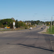
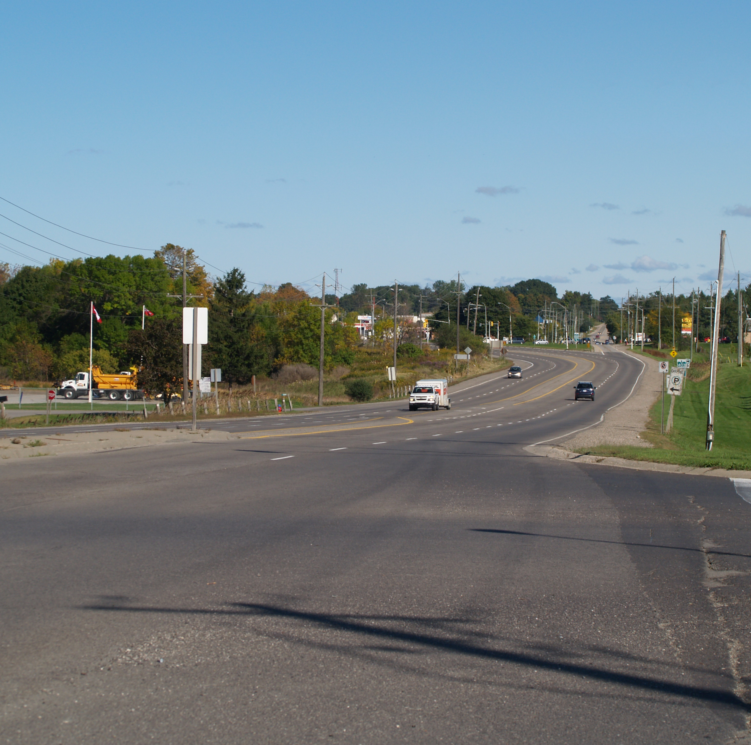
In 1954, the concurrency with Highway 2 was discontinued, shortening the road by 7 km, thus moving Highway 53's terminus east to Eastwood. In 1997, the remainder of Highway 53 was downloaded to Regional Municipality of Oxford County, Brant County, and the City of Hamilton (formerly the Regional Municipality of Hamilton-Wentworth). The road is now known as Oxford County Road 55, Brant County Highway 53, and Brant County Highway 2/53 (for being co-signed with fellow defunct road Highway 2). In Hamilton, the road is simply known as Rymal Road and Garner Road.
Rymal Road is named after William Rymal, (1759-1852), farmer and one of earliest settlers on the Hamilton mountain. [1][2]
References
Roads and streets in Hamilton, Ontario Lower City Arteries
(Primary)Lower City Collectors
(Secondary)Mountain-access roads Beckett Drive • Claremont Access • Highway 20 • Highway 403 • James Street Access • Jolley Cut/ Arkledun Ave. • Kenilworth Access • Mount Albion • Red Hill Valley Parkway • Sherman Access • Upper Centennial ParkwayUpper City Arteries Concession • Fennell • Garth • Mohawk • Mountain Brow • Mud • Rymal • Stone Church • Upper Gage • Upper James • Upper Kenilworth • Upper Ottawa • Upper Paradise • Upper Sherman • Upper Wentworth • Upper Wellington • West 5th • Wilson (Ancaster)Upper City Collectors Municipal Expressways: Provincial Highways Former Provincial Highways Numbered City Roads
(Formerly Regional Roads)5 • 8 • 20 • 56 • 65 • 97 • 99Former Numbered
Regional Roads2 • 52 • 53 • 203 • 216 • 222 • 223 • 243 • 248 • 253 • 260 • 299 • 305 • 330 • 331 • 341 • 344 • 364 • 399 • 411 • 412 • 424 • 425 • 430 • 434 • 445 • 450 • 455 • 458 • 501 • 503 • 508 • 528 • 535 • 551 • 597 • 610 • 613 • 614 • 622 • 626 • 633 • 634 • 637 • 639 • 640Categories:- Roads in Hamilton, Ontario
- Ontario county roads
- Defunct Ontario provincial highways

Wikimedia Foundation. 2010.