- Ottawa Street (Hamilton, Ontario)
-


Ottawa street, is a Lower City arterial road in Hamilton, Ontario, Canada. It starts off at Lawrence Road at the base of the Niagara Escarpment (mountain) and is a two-way street throughout cutting through the Delta and Crown Point neighbourhoods and the City's North End industrial neighbourhood. It ends at Industrial Drive, the site of the Dofasco steel company.
Contents
History
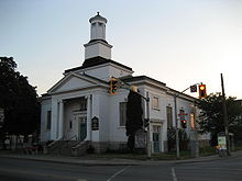 Laidlaw United Church, Ottawa Street South
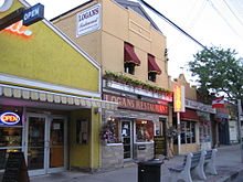 Ottawa Street North, Textile district
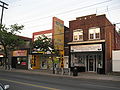
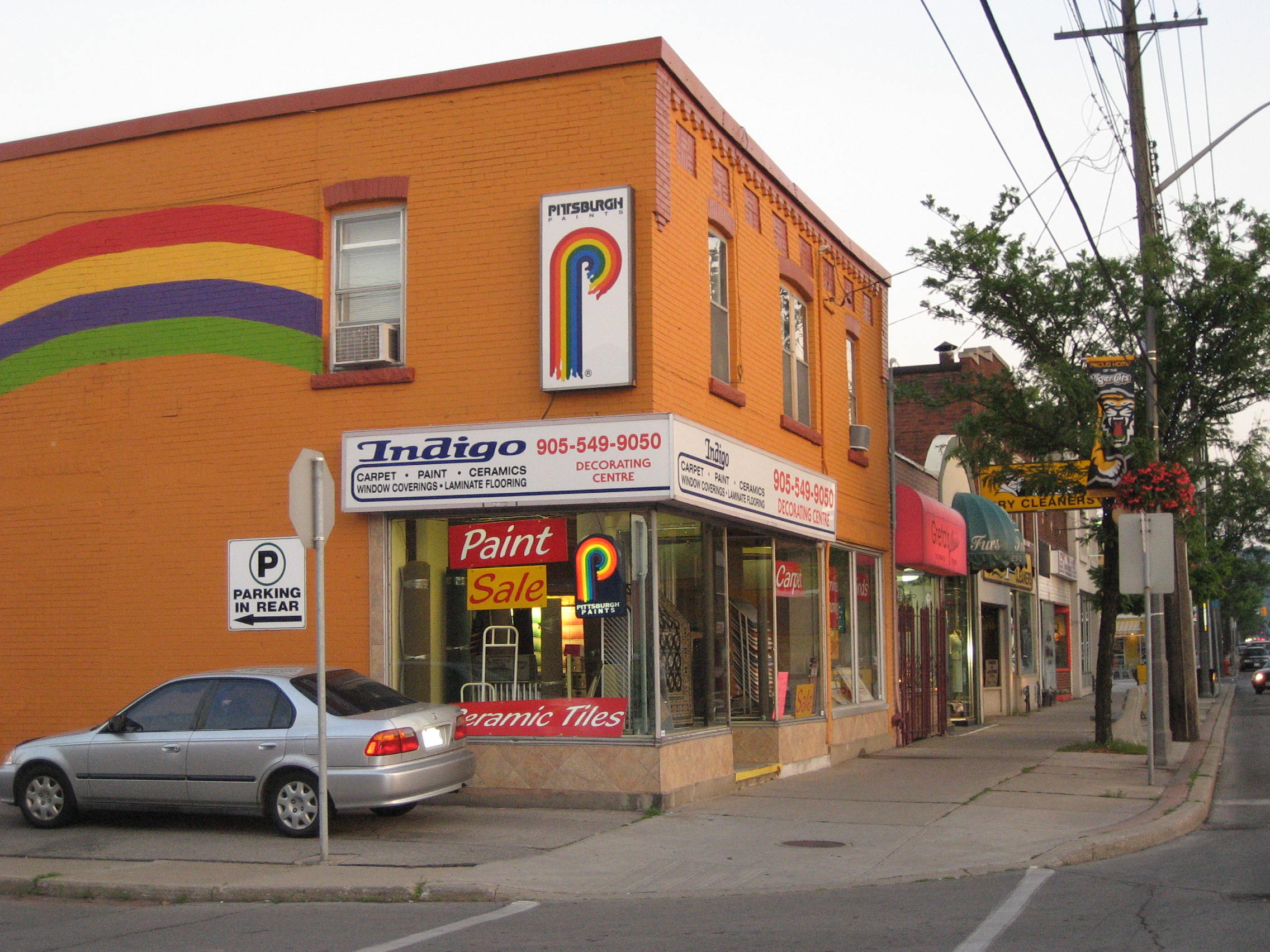
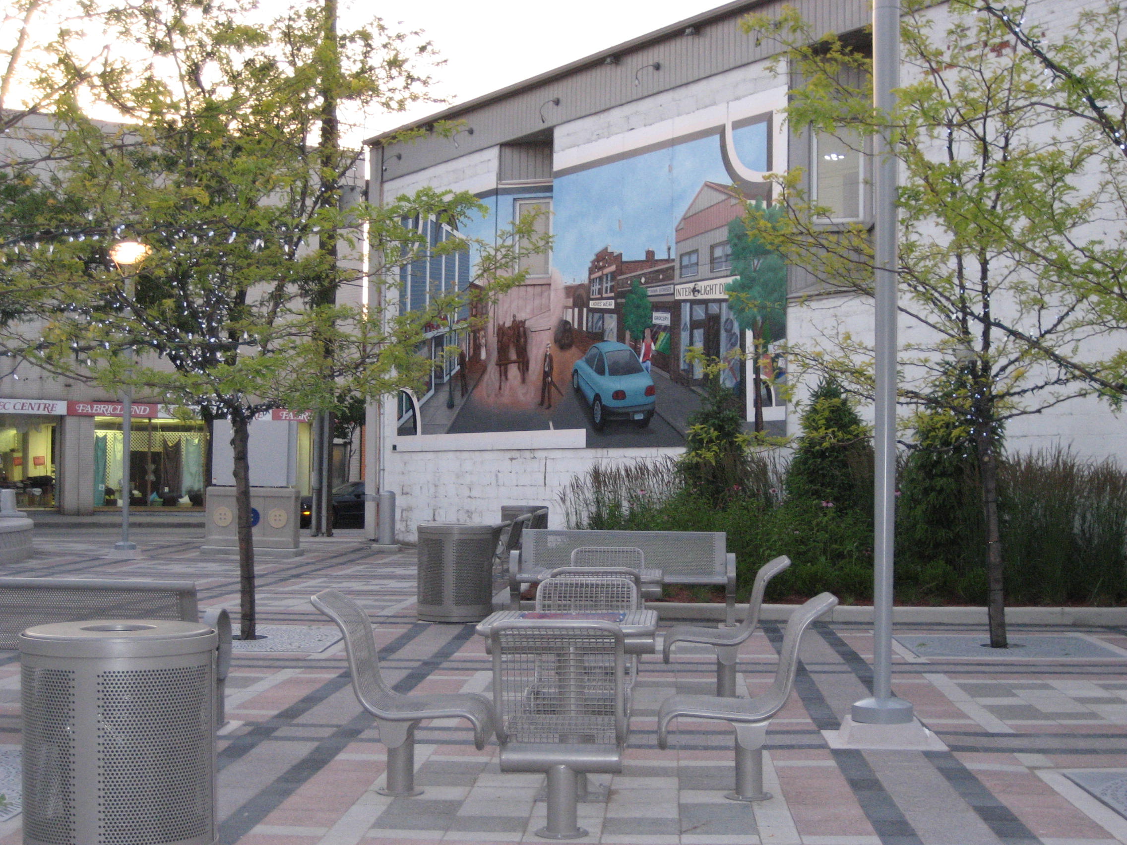
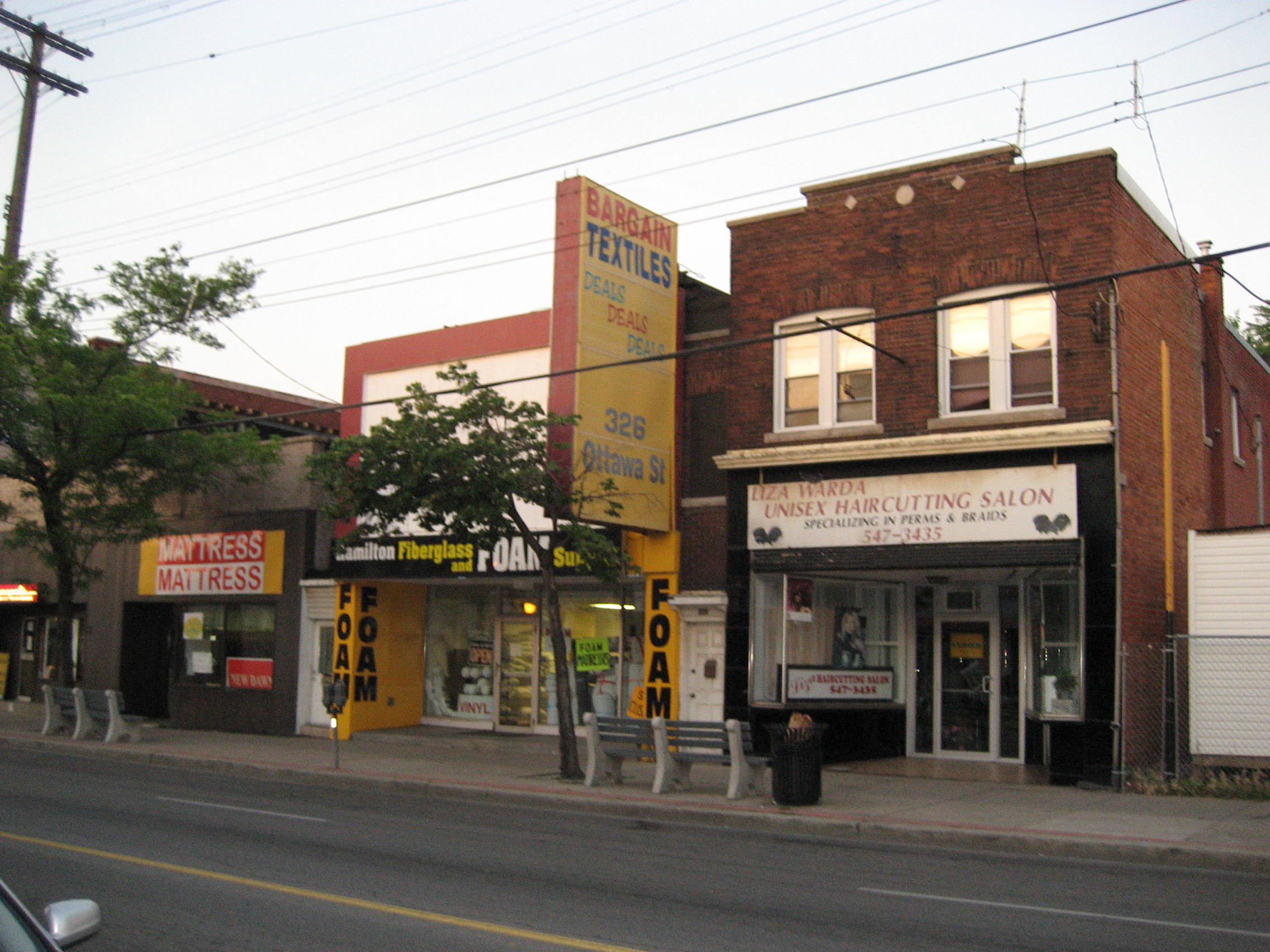
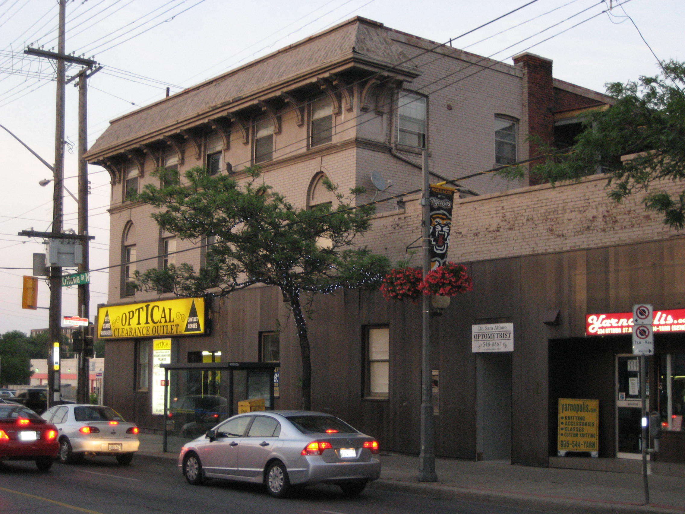
 Ottawa Street North, Shopping district
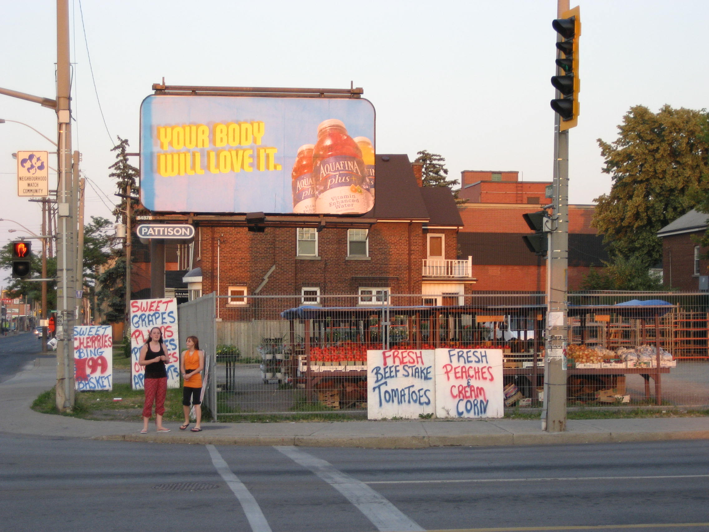
Ottawa Street is known as the Fabric & Textile District and is Hamilton's "Decor Destination." It is the largest Fabric and Textile District in Canada and Hamilton's #1 tourist destination. It also hosts an annual Ottawa Street Streetfest, a shopping extravaganza that includes shopping deals, entertainment, foods, crafts; all a part of an outdoor street sale. [1]
In 1862, The city had invested in the Great Western Railway but the government of Canada favoured the rival Grand Trunk Railway. Also, after the end of the Depression (1857-1862), the population dips downwards in Hamilton and the city could not meet the interest on its bonds, many of which were held by British investors. To save the city from its creditors temporarily, Henry Beasley removes the assessment rolls, thus preventing a levy of special tax. Foundries and machine shops associated with the Great Western Railway failed and several established wholesalers closed their accounts. Daniel C. Gunn's locomotive works went bankrupt, but the manufacturers of farm implements and stoves-the mainstays of iron foundries- were able to weather the crisis. Those owned by Dennis Moore and the Copp brothers endured, but their employees suffered wage cuts and layoffs. Canadian patent laws and the underemployed workers skilled in machinist trades lured an important new industrial enterprise from the U.S.A.- the manufacture of sewing machines by Richard Wanzer. From this development there evolved the ready-made clothing industry, which William Eli Sanford introduced locally. The Textile District evolved in East Hamilton, centered on Ottawa Street and boomed during the First and Second World Wars. [2] It's a thriving district today.
In 1913, Procter & Gamble Manufacturing Company (based in Cincinnati, Ohio) purchased 7 acres (28,000 m2) of land and 2 acres (8,100 m2) of water on the south side of Burlington Street between Depew and Ottawa Streets. This event marked the beginning of Procter & Gamble's operations outside of the United States. [3] In 1914, Construction started on the Procter & Gamble Hamilton plant, which cost $1 million and consisted of seven buildings: the Crisco building, the boiler house, the gas plant, the soap building, the hardening plant, the kettle and glycerin house, and the machine shop. [3] By 1915, Procter & Gamble officially opens Hamilton plant, employing 75 workers who made six different products. [3]
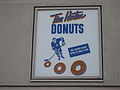
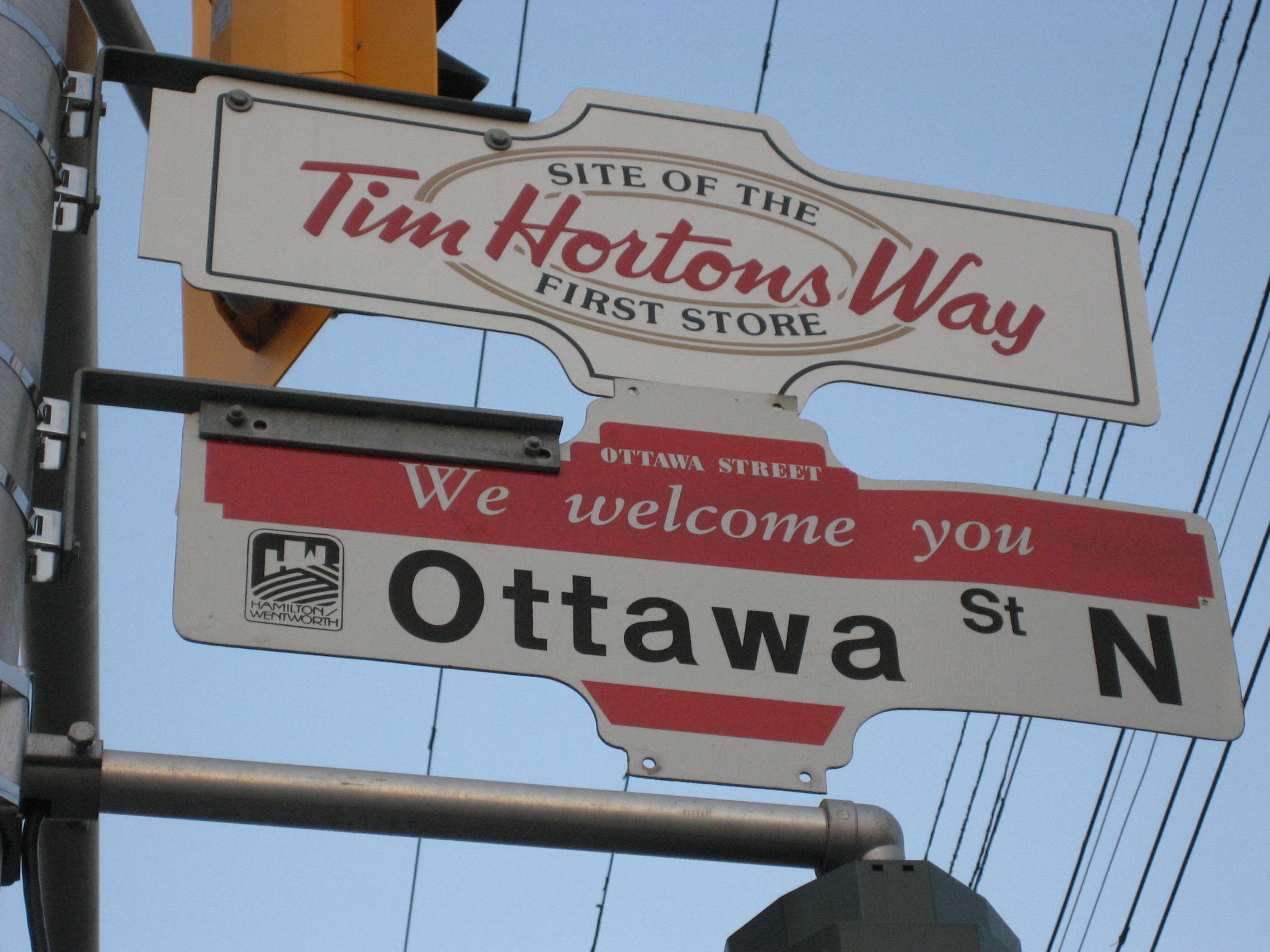
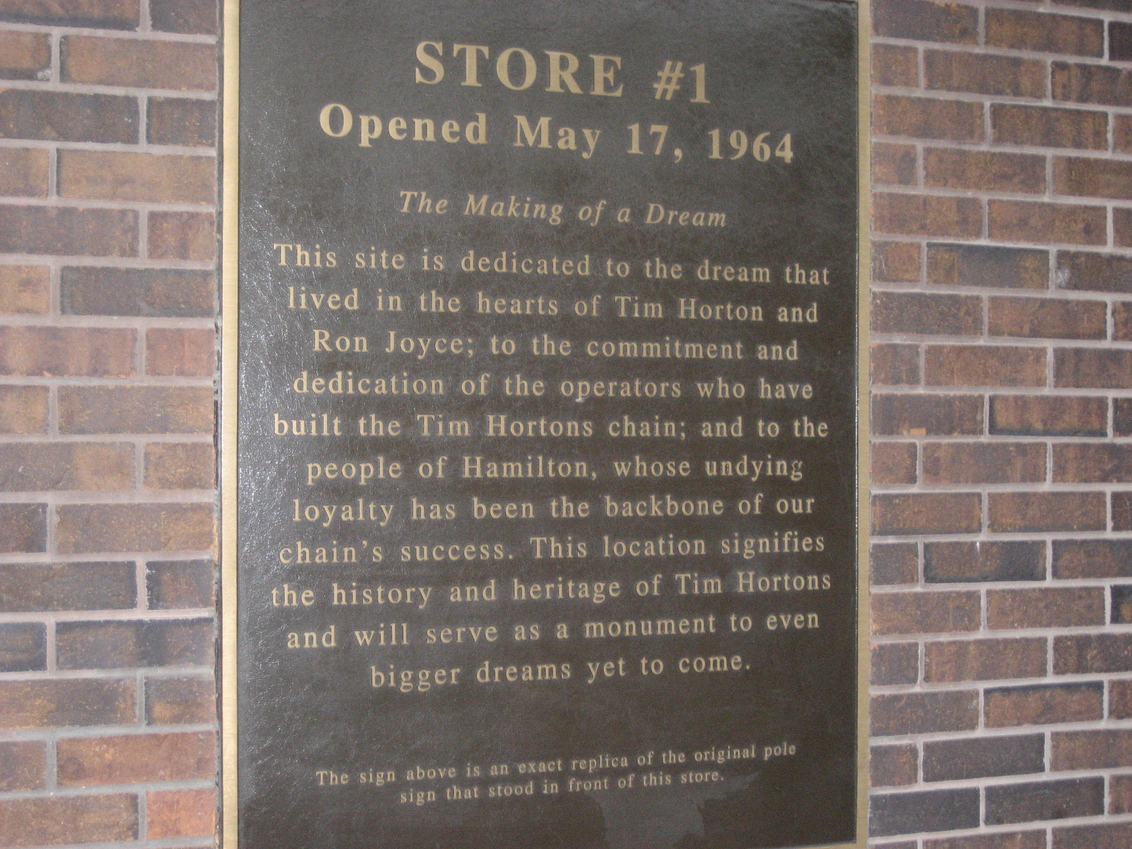
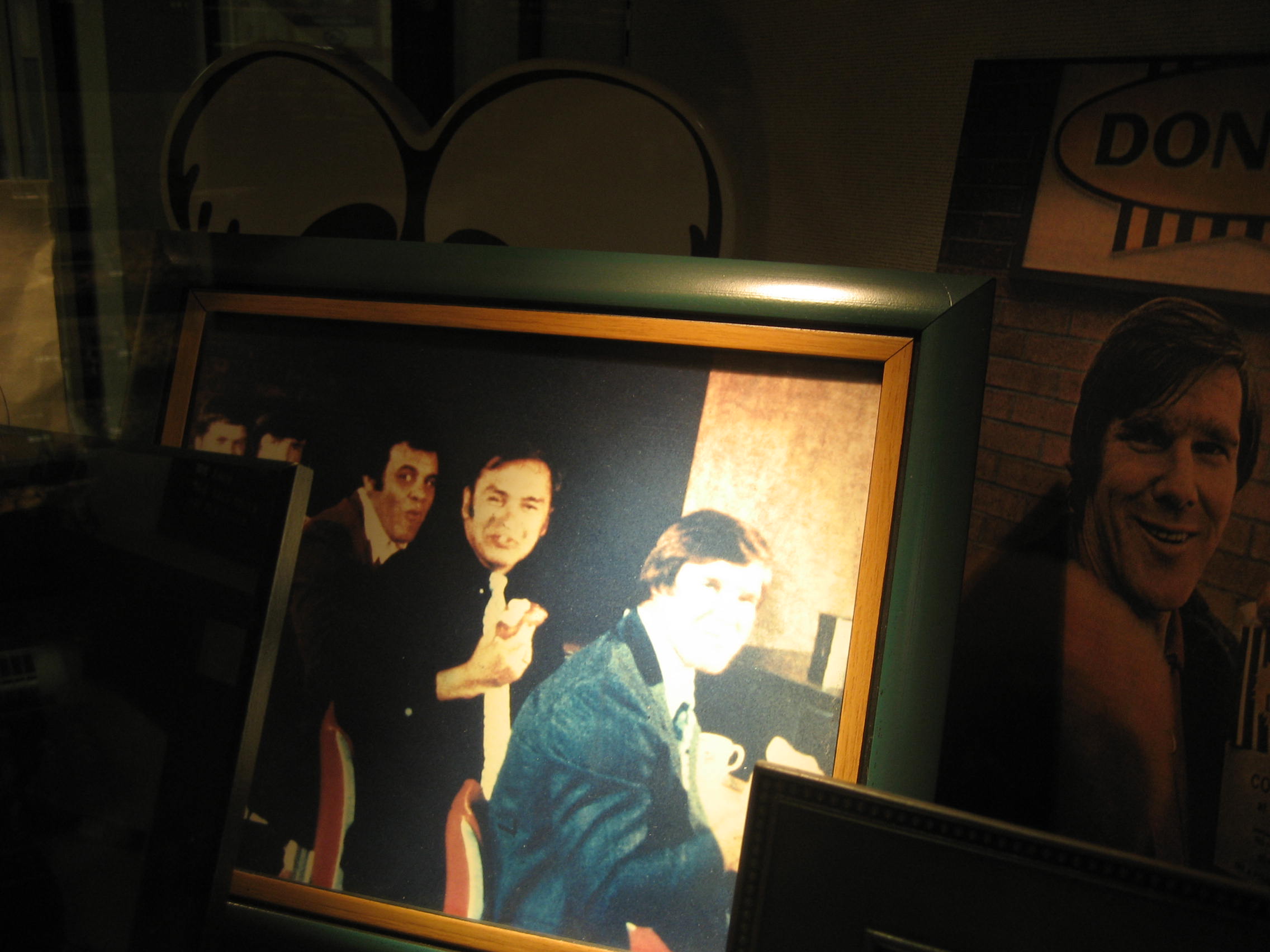
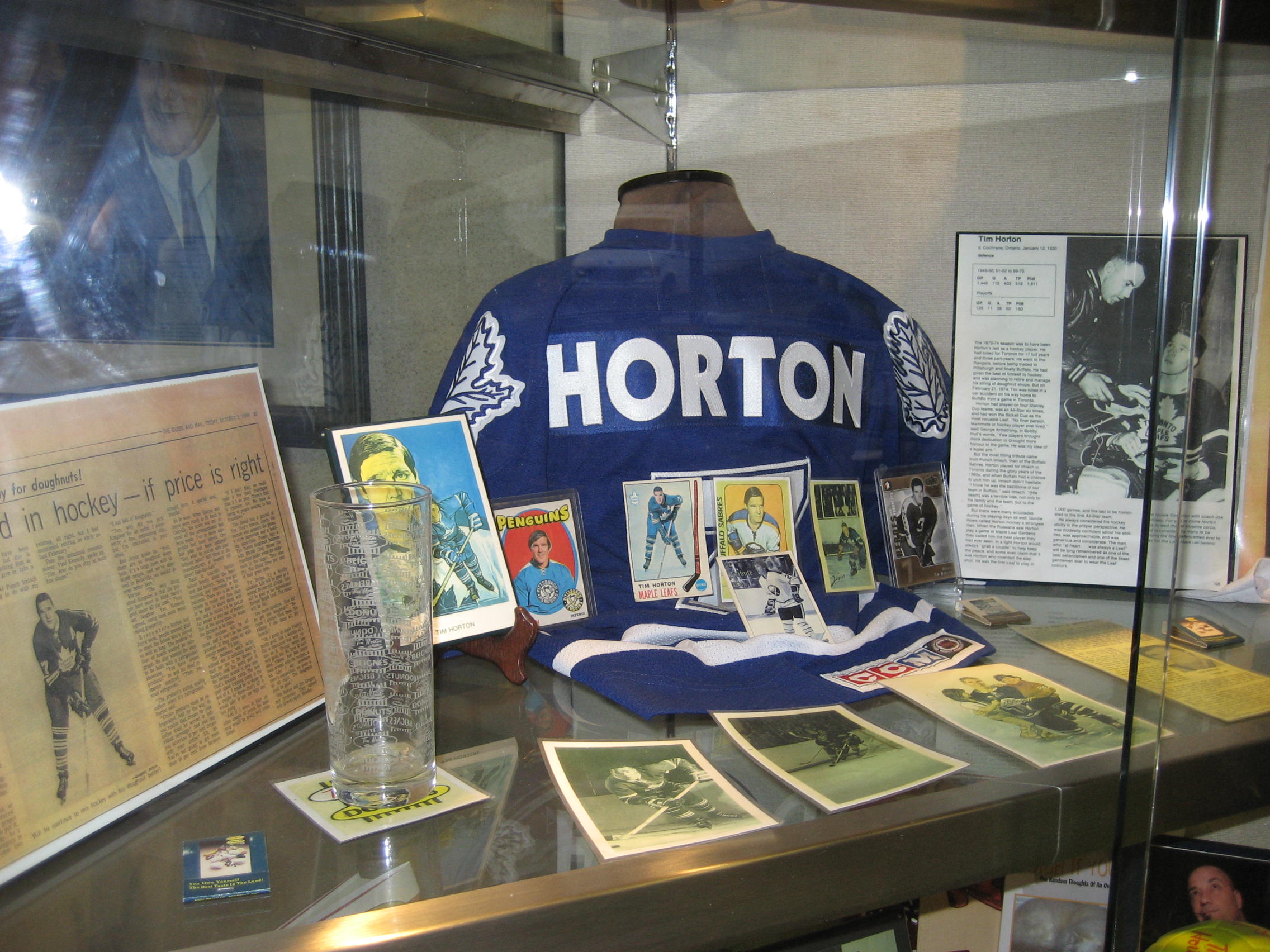
Hamilton became the birthplace of the Tim Hortons chain in 1964. The original store ("Store #1") still operates on Ottawa Street today. Ron Joyce, was Tim Horton's partner and first franchisee for his Canadian donut chain. [4] [5]
Centre Mall reconstruction project
Centre Mall owners announced plans for a 23-building super centre on the property on Barton Street East. Cost is estimated to be around $100-million and will take up 700,000 square feet (65,000 m2) of retail space. This will end up being the largest redevelopment project in the history of Hamilton's east-end. [6] The overhaul will take about two-and-a-half years to complete but the bulk of the work is expected to be done by the end of the summer of 2008. Some new buildings will go up before the enclosed mall is torn down. [7] The redevelopment of Centre Mall is transforming the entire neighbourhood from Ottawa to Kenilworth Avenue. The $100-million investment in the mall has boosted Ottawa Street North - already the city's No.1 tourist destination. The garment district has also morphed into a holistic home decor destination area, complete with lighting, antique, design & glass stores. The Ottawa Street B.I.A. had the most application and grants under the commercial property improvement program in 2007 with thirty three and it had an effect on the property values and real estate activity in the district. [7]
Landmarks
 East Kiwanis Place, Ottawa Street North
 East Kiwanis Place, Ottawa Street North
Note: Listing of Landmarks from North to South.
- Piers 18, 19, 20
- Dofasco, (steel company)
- site of the old Procter & Gamble (1913-1998) Manufacturing Company buildings & property.
- Canadian National railway tracks
- Centre Mall, west end property, stretches East to Kenilworth Avenue North (Canada's first Mall), site of the old Jockey Club before Mall was built.
- Ottawa Street Shopping District - "Garment & Textile District"
- Memorial Elementary School
- Tim Hortons, store #1 (1964), still in operation
- Laidlaw United Church
- Escarpment Rail Trail (abandoned railway path)
- Bruce Trail
- Mountain Face Park
- Niagara Escarpment (mountain)
Communities
Note: Listing of neighbourhoods from North to South [8]
- North End - Everything north of the Canadian National Railway tracks
- Crown Point West/ Crown Point East
- Delta West/ Delta East
Major roads that cross Ottawa Street
 Textile District, Ottawa Street North
Note: Listing of streets from North to South.
- Industrial Drive - One way street (Westbound only)
- Burlington Street East - One way street (Eastbound only)
- Barton Street East
- Cannon Street East
- Main Street East - King Street East crosses over Main Street East at the Delta by Gage Park and now is South of Main.
- King Street East
- Cumberland Avenue - One way street (Eastbound Only), ends at Gage Avenue South
Roads that are parallel with Ottawa Street
 Textile District, Ottawa Street North
 Ottawa Street North, shopping district
Note: Listing of streets from West to East.
- Ferguson Avenue, North, South
- Wellington Street, North, South
- Victoria Avenue, North, South
- Wentworth Street, North, South
- Sherman Avenue, North, South
- Gage Avenue, North, South
- Ottawa Street, North, South
- Kenilworth Avenue, North, South
- Cochrane Road
- Parkdale Avenue, North, South
- Red Hill Valley Parkway
- Nash Road, North, South
- Woodward Avenue
Images
-

Tim Hortons plaque, 1st store
-
Tim Hortons sign, 1st store
-

Display case, Tim Hortons, 1st store
-
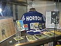
Display case, Tim Hortons, 1st store
-

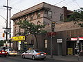
Corner of Ottawa South & Main East
-
Ottawa Street North, East Kiwanis Place
-
Textile District
-
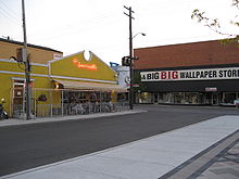
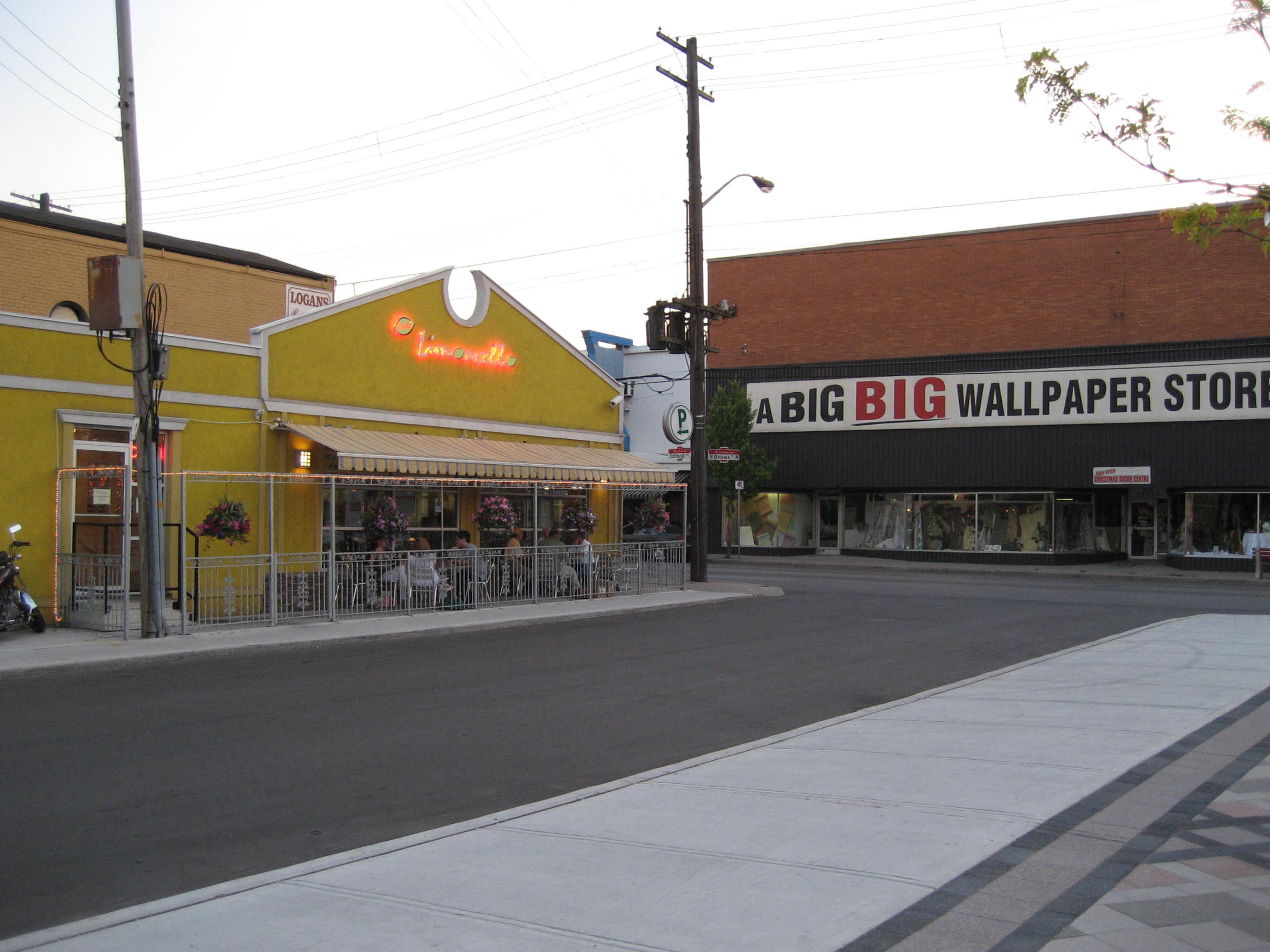
Corner of Ottawa Street North & Barton
See also
References
- ^ "Ottawa Street B.I.A. (ShopOttawaStreet.ca)". http://www.shopottawastreet.com. Retrieved 2007-04-05.
- ^ Bailey, Thomas Melville (1981). Dictionary of Hamilton Biography (Vol I, 1791-1875). W.L. Griffin Ltd.
- ^ a b c "History of Industry in Hamilton, Ontario". Archived from the original on 2006-02-06. http://web.archive.org/web/20060206234910/http://collections.ic.gc.ca/industrial/intro.htm. Retrieved 2007-03-29.
- ^ "Tim Horton's Biography: Ron Joyce". http://www.timhortons.com/en/about/aboutus_bios.html#rj. Retrieved 2007-03-29.
- ^ "Tim Hortons Official History". Archived from the original on 2007-03-15. http://web.archive.org/web/20070315234552/http://www.timhortons.com/en/pdfs/en_media_kit.pdf. Retrieved 2007-03-29.
- ^ ""Centre Mall owners plan 23-building super centre."" (Press release). The Hamilton Spectator. 2007-09-27.
- ^ a b ""New lease on life for Ottawa St."" (Press release). The Hamilton Spectator, Lisa Grace Marr. 2007-11-24.
- ^ "Hamilton Neighbourhood Boundaries, (map.hamilton.ca)". Archived from the original on 2007-09-27. http://web.archive.org/web/20070927235056/http://map.hamilton.ca/Static/PDFs/General+Interest+maps/Overall+City/NeighbourhoodBoundaries.pdf. Retrieved 2007-05-11.
- MapArt Golden Horseshoe Atlas - Page 647 - Grids E16, F16, G16, H16
External links
- Ottawa Street B.I.A.
- North End Neighbours
- Hamilton Centre Mall
- Bruce Trail Association
- Hikes on the Bruce Trail
- Google Maps: Ottawa Street (Hybrid)
Roads and streets in Hamilton, Ontario Lower City Arteries
(Primary)Aberdeen • Barton • Bay • Burlington • Centennial • Cootes • Dundurn • Gage • James • John • Kenilworth • King (Hamilton) • King (Dundas) • Main • Ottawa • Parkdale • Queen • Queenston • Victoria • Wellington • Wentworth • Woodward • YorkLower City Collectors
(Secondary)Mountain-access roads Beckett Drive • Claremont Access • Highway 20 • Highway 403 • James Street Access • Jolley Cut/ Arkledun Ave. • Kenilworth Access • Mount Albion • Red Hill Valley Parkway • Sherman Access • Upper Centennial ParkwayUpper City Arteries Concession • Fennell • Garth • Mohawk • Mountain Brow • Mud • Rymal • Stone Church • Upper Gage • Upper James • Upper Kenilworth • Upper Ottawa • Upper Paradise • Upper Sherman • Upper Wentworth • Upper Wellington • West 5th • Wilson (Ancaster)Upper City Collectors Municipal Expressways: Burlington • The Linc • Red Hill ValleyProvincial Highways Former Provincial Highways Numbered City Roads
(Formerly Regional Roads)5 • 8 • 20 • 56 • 65 • 97 • 99Former Numbered
Regional Roads2 • 52 • 53 • 203 • 216 • 222 • 223 • 243 • 248 • 253 • 260 • 299 • 305 • 330 • 331 • 341 • 344 • 364 • 399 • 411 • 412 • 424 • 425 • 430 • 434 • 445 • 450 • 455 • 458 • 501 • 503 • 508 • 528 • 535 • 551 • 597 • 610 • 613 • 614 • 622 • 626 • 633 • 634 • 637 • 639 • 640Roads in Ontario  Bike and Hiking Trails in CanadaBruce Trail • Canol Heritage Trail • Chilkoot Trail • Confederation Trail • Cycloparc PPJ • East Coast Trail • Galloping Goose Regional Trail • International Appalachian Trail • Iron Horse Trail • La Cloche Silhouette Trail • Mantario Trail • Nipissing-North Arm Orienteering Trail • North Coast Trail • Oak Ridges Trail • P'tit Train du Nord • Rideau Trail • Route Verte • Trans Canada Trail • Waskahegan Trail • Waterfront Trail • West Coast Trail • WildsideCategories:
- Roads in Hamilton, Ontario


Wikimedia Foundation. 2010.