- Hastings County
-
- For other uses, see Hastings (disambiguation).
Hastings County — County — 
Coat of armsMotto: Communities With Opportunities Hastings County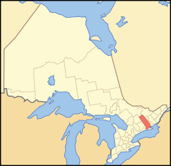
Country  Canada
Province  Ontario
County seat Belleville Municipalities List- Town of Bancroft
- Town of Deseronto
- Municipality of Centre Hastings
- Municipality of Hastings Highlands
- Township of Carlow/Mayo
- Township of Faraday
- Township of Limerick
- Township of Madoc
- Municipality (township) of Marmora and Lake
- Township of Stirling-Rawdon
- Township of Tudor & Cashel
- Municipality of Tweed
- Township of Tyendinaga
- Township of Wollaston
Area[1] – Land 5,977.64 km2 (2,307.98 sq mi) Population (2006)[1] – Total 130,474 – Density 21.8/km2 (56.5/sq mi) Time zone EST (UTC-5) – Summer (DST) EDT (UTC-4) Website County of Hastings Hastings County is located in the province of Ontario, Canada. It is The Cheese Capital of Canada.[2] Geographically, it is located on the border of Eastern Ontario and Central Ontario. The population was 125,915 in 2001 and grew to 130,474 in the 2006 Canada Census. With the area of 1,473,861 acres (2,302.9 sq mi; 5,964.5 km2) reaching nearly 100 miles (160 km) from north to south, Hastings County is the second largest county in Ontario.
The seat of the county is Belleville.
Contents
Municipalities
The 14 municipalities within the county are:
- Town of Bancroft
- Town of Deseronto
- Municipality of Centre Hastings
- Municipality of Hastings Highlands
- Township of Carlow/Mayo
- Township of Faraday
- Township of Limerick
- Township of Madoc
- Municipality (township) of Marmora and Lake
- Township of Stirling-Rawdon
- Township of Tudor & Cashel
- Municipality of Tweed
- Township of Tyendinaga
- Township of Wollaston
The cities of Belleville and Quinte West are separated municipalities.
From 1837 to 1849, it was known as Victoria District for administrative purposes. The district town was Belleville.
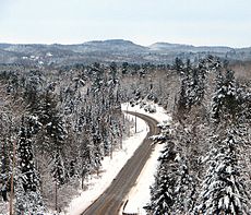 The northern portion of Hastings County is characterized by the rugged landscape of the Madawaska Highlands.
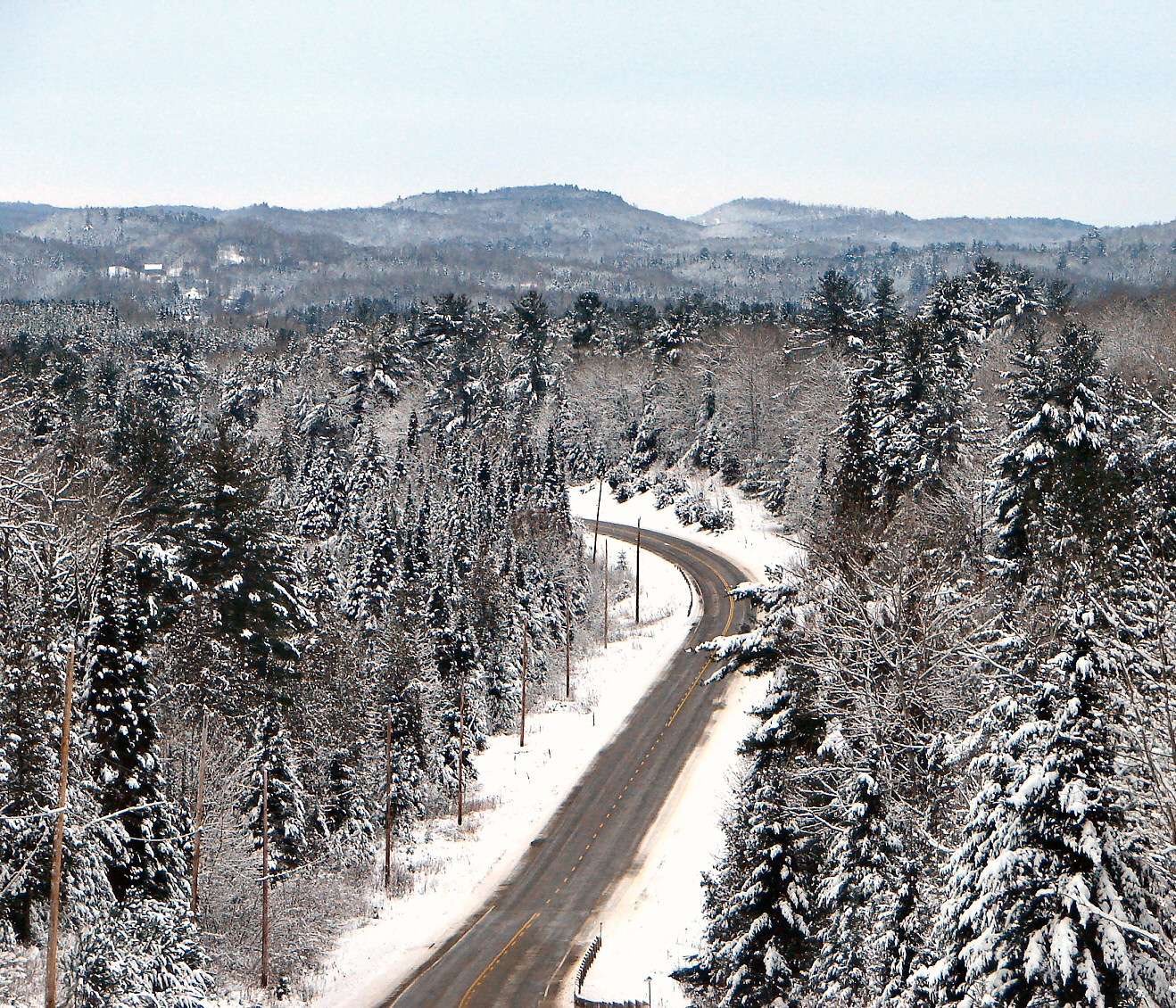
History
The first boundaries of Hastings County were established 1792 by Lieutenant-Governor John Graves Simcoe. The southern boundary was the Bay of Quinte, the eastern boundary was Lennox County and the western boundary ran from the Trent River to the Ottawa River, in a triangular shape. The County consisted of Sidney, Thurlow, Rawdon, Huntingdon and Hungerford townships as well as the Mohawk Tract. The area was named for Francis Rawdon-Hastings.
Three new townships; Elzevir, Madoc and Marmora were created in 1821 and on Monday, October 1, 1821 the first Hastings County fair was held in Belleville . The largest prize paid was to Captain Daniel Ostrom of Sydney at $20 and Ruliff Purdy of Sidney received the most prizes totaling $106.50.
While in this time agriculture was the most important industry in Hastings County, by 1822 (when the Marmora Iron Works was approaching its peak production) mining was playing an increasingly more important role in the area's economy.
Prominent citizens of Hastings County and Ameliasburgh Township unsuccessfully petitioned the provincial government for district status during 1817, 1818, 1823 and 1825. After Prince Edward County successfully achieved its own government in 1831, Hastings County continued to send petitions throughout the 30s before finally achieving the status of a separate district in March 1837. Belleville was named the county's District Town.
From 1839 until 1849, Hastings County was renamed Victoria District after Queen Victoria. By 1841 the county had access to local courts but no local government was in place. On February 8, 1842 the Victoria District's first council met under warden William Hutton. During much of this time roads and bridges were the most important issues the council dealt with.
Edward Fidlar became the first warden of Hastings County with their first meeting on January 28, 1850. By this time the Hastings County Council was also interested in education and the building of the railroad.
On October 27, 1856 the first railroad train arrived in Belleville and by 1864 around 100 people were employed by the railroad.
In August 1866, discovery of gold at Eldorado, near Madoc, caused great excitement throughout Hastings County as people flooded to the area from all over North America. The railroads and 170 miles (270 km) of good gravel roads opened these areas to settlement by 1880.
In 1889 the Belleville Waterworks was created as a private company, which was then bought by the city of Belleville in 1889. In 1911, Hastings County was the first in the province to appoint a reforestation committee, which was instrumental in passing laws around county forests. Postal service began in the area in 1913.[3]
Transportation
The county is served by Highway 401 in the south, Highway 7, a leg of the Trans-Canada Highway, in the central region, Highways 62 and 37 travelling north to south, Highway 28 travelling east to west in the northern region, and Highway 127 travelling north from Maynooth, also in the northern region.
County Council
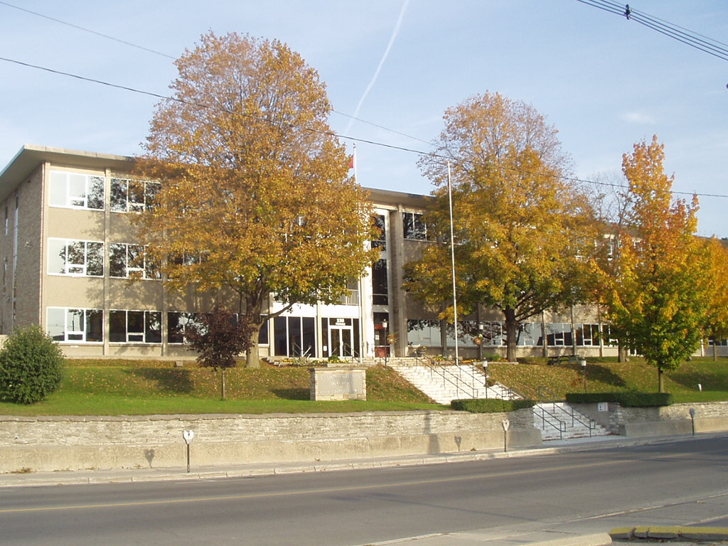
 Hastings County offices in downtown Belleville.
Warden: Jo-Anne Albert
Town of Bancroft: Bernice Jenckins
Hastings Highlands: Ron Emond
Township of Carlow/Mayo: Bonnie Adams
Municipality of Centre Hastings: Owen Ketcheson
Town of Deseronto: Norm Clark
Township of Faraday: Carl Tinney
Township of Limerick: David Golem
Township of Madoc: Bob Sager
Municipality of Marmora & Lake: Terry Clemens
Township of Stirling/Rawdon: Rodney Cooney
Municipality of Tweed: Jo-Anne Albert
Township of Tudor & Cashel: Wanda Donaldson
Township of Tyendinaga: Rick Phillips
Township of Wollaston: Dan McCawSee also
References
- ^ a b "Community highlights for Hastings". Government of Canada. 2006. http://www12.statcan.ca/english/census06/data/profiles/community/Details/Page.cfm?Lang=E&Geo1=CD&Code1=3512&Geo2=PR&Code2=35&Data=Count&SearchText=Hastings&SearchType=Begins&SearchPR=01&B1=All&Custom=. Retrieved 2007-12-28.
- ^ [Canada Trade-marks database]http://strategis.ic.gc.ca/app/cipo/trademarks/search/viewTrademark.do;jsessionid=0000CzSOb6qLbZXZVnZSGlkkb0T:1247nfca5?language=eng&fileNumber=0907592&extension=0&startingDocumentIndexOnPage=1
- ^ Historic Hastings by Gerald E. Boyce
External links
Categories:


Wikimedia Foundation. 2010.