- National Register of Historic Places listings in Scioto County, Ohio
-
 Location of Scioto County in Ohio
This is a list of the National Register of Historic Places listings in Scioto County, Ohio.
This is intended to be a complete list of the properties and districts on the National Register of Historic Places in Scioto County, Ohio, United States. The locations of National Register properties and districts for which the latitude and longitude coordinates are included below, may be seen in a Google map.[1]
There are 40 properties and districts listed on the National Register in the county. Another property was once listed but has been removed.
-
- This National Park Service list is complete through NPS recent listings posted November 10, 2011.[2]
Current listings
[3] Landmark name [4] Image Date listed Location City or town Summary 1 All Saints Episcopal Church March 25, 1982 4th and Court Sts.
38°43′58″N 83°00′01″W / 38.732778°N 83.000278°WPortsmouth 2 Anderson Brothers Department Store February 2, 2001 301-307 Chillicothe St.
38°43′56″N 82°59′49″W / 38.732222°N 82.996944°WPortsmouth 3 Bennett Schoolhouse Road Covered Bridge October 11, 1978 Southeast of Minford
38°49′45″N 82°48′26″W / 38.829167°N 82.807222°WHarrison Township 4 Bigelow United Methodist Church December 8, 1987 415 Washington St.
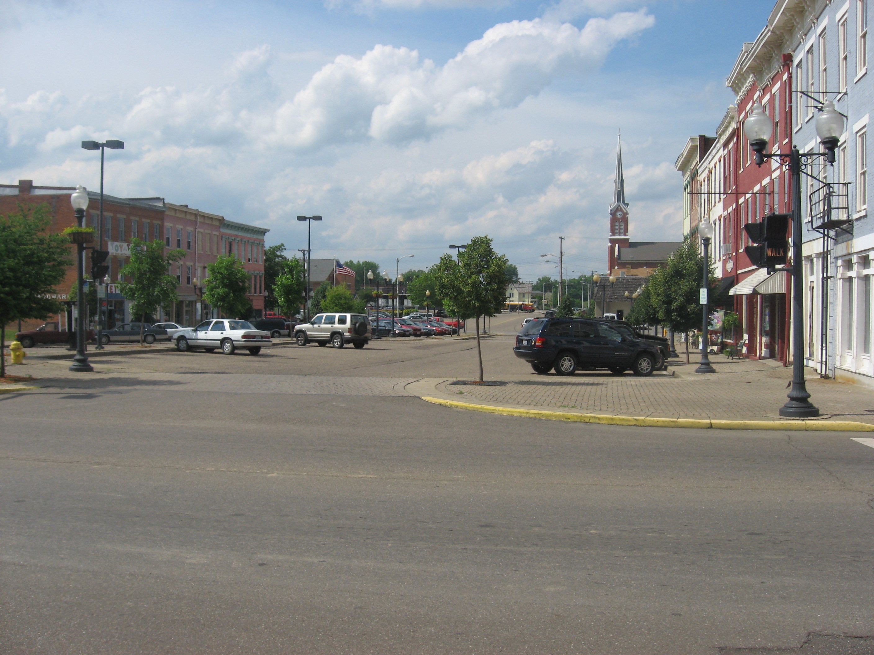
38°44′02″N 82°59′57″W / 38.733889°N 82.999167°WPortsmouth 5 Boneyfiddle Commercial District 
June 6, 1979 Roughly bounded by Front, Washington, 3rd, and Scioto Sts.
38°43′54″N 83°00′19″W / 38.731667°N 83.005278°WPortsmouth 6 Cunningham-Maier House December 8, 1987 506 6th St.
38°44′05″N 83°00′10″W / 38.734722°N 83.002778°WPortsmouth 7 Dole-Darrell House December 8, 1987 322 Market St.
38°43′59″N 83°00′10″W / 38.733056°N 83.002778°WPortsmouth 8 Elden House December 8, 1987 634 4th St.
38°43′59″N 83°00′07″W / 38.733056°N 83.001944°WPortsmouth 9 Evangelical Church of Christ December 8, 1987 701 5th St.
38°44′03″N 82°59′54″W / 38.734167°N 82.998333°WPortsmouth 10 Feurt Mounds and Village Site June 18, 1973 Eastern bank of the Scioto River along the western side of U.S. Route 23, north of Portsmouth
38°48′21.1″N 82°59′19″W / 38.805861°N 82.98861°W[5]Clay Township 11 First Presbyterian Church November 28, 1973 221 Court St.
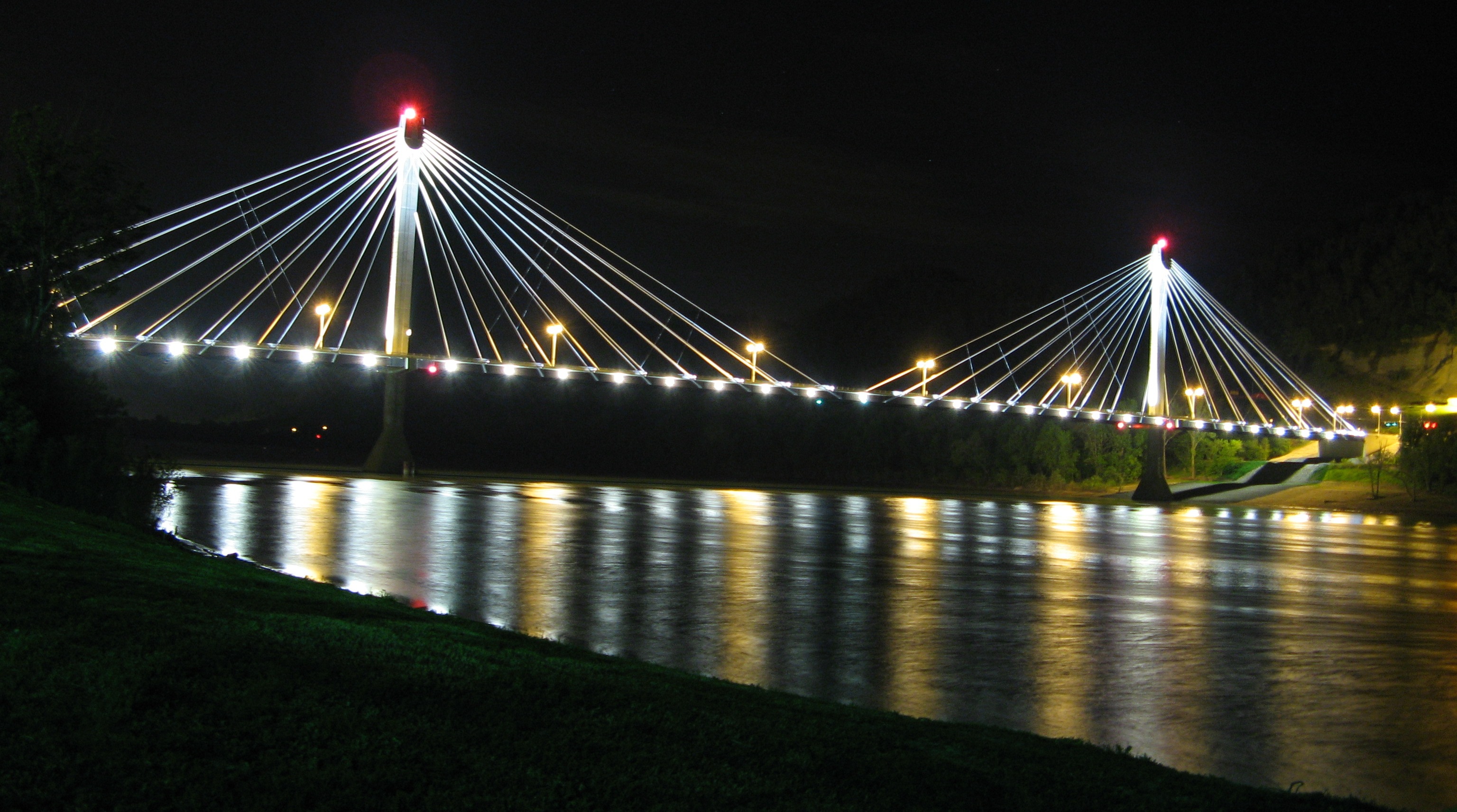
38°43′55″N 83°00′04″W / 38.731944°N 83.001111°WPortsmouth 12 General U.S. Grant Bridge 
May 31, 2001 Spanning the Ohio River, beginning at the intersection of Chillicothe and 2nd Sts.
38°43′50″N 82°59′49″W / 38.730556°N 82.996944°WPortsmouth Extends into Greenup County, Kentucky 13 George H. Gharky House December 8, 1987 638 4th St.
38°43′58″N 82°59′56″W / 38.732778°N 82.998889°WPortsmouth 14 Greenlawn Cemetery Chapel January 3, 1980 Offnere St.
38°44′38″N 82°59′04″W / 38.743889°N 82.984444°WPortsmouth 15 Horseshoe Mound May 2, 1974 Within Mound Park
38°44′36″N 82°58′38″W / 38.743333°N 82.977222°WPortsmouth 16 Hurth Hotel July 28, 1983 222 Chillicothe St.
38°43′55″N 82°59′48″W / 38.731944°N 82.996667°WPortsmouth 17 Aaron Kinney House July 2, 1973 Waller St.
38°44′51″N 82°59′19″W / 38.7475°N 82.988611°WPortsmouth 18 Eli Kinney House March 10, 1988 317 Court St.
38°43′59″N 83°00′04″W / 38.733056°N 83.001111°WPortsmouth 19 Labold House and Gardens December 8, 1987 633 4th St.
38°44′00″N 83°00′00″W / 38.733333°N 83.0°WPortsmouth 20 Joseph Marsh House December 8, 1987 701 Market St.
38°44′08″N 83°00′11″W / 38.735556°N 83.003056°WPortsmouth 21 Meyer House March 10, 1988 309 Washington St.
38°43′58″N 82°59′56″W / 38.732639°N 82.999°WPortsmouth 22 Philip Moore Stone House 
October 21, 1975 South of West Portsmouth on State Route 239
38°44′36″N 83°02′02″W / 38.743333°N 83.033889°WWashington Township 23 William Newman House 
December 8, 1987 716 2nd St.
38°43′53″N 82°59′54″W / 38.731389°N 82.998333°WPortsmouth 24 Odd Fellows Hall December 8, 1987 500-506 Court St.
38°44′03″N 83°00′02″W / 38.734167°N 83.000556°WPortsmouth 25 Otway Covered Bridge 
May 3, 1974 North of State Route 348
38°51′46″N 83°11′24″W / 38.862778°N 83.19°WOtway 26 Judge William V. Peck House November 15, 1979 601 Market St.
38°44′03″N 83°00′11″W / 38.734167°N 83.003056°WPortsmouth 27 Portsmouth Fire Department No. 1 December 8, 1987 642 7th St.
38°44′08″N 82°59′56″W / 38.735556°N 82.998889°WPortsmouth 28 Portsmouth Foundry and Machine Works December 8, 1987 401 3rd St.
38°43′57″N 83°00′18″W / 38.7325°N 83.005°WPortsmouth 29 Purdum-Tracy House December 8, 1987 626 4th St.
38°43′59″N 82°59′58″W / 38.733056°N 82.999444°WPortsmouth 30 Joseph G. Reed Company 
December 8, 1987 700 2nd St.
38°43′53″N 82°59′56″W / 38.731389°N 82.998889°WPortsmouth 31 St. Mary's Roman Catholic Church August 24, 1979 5th and Market Sts.
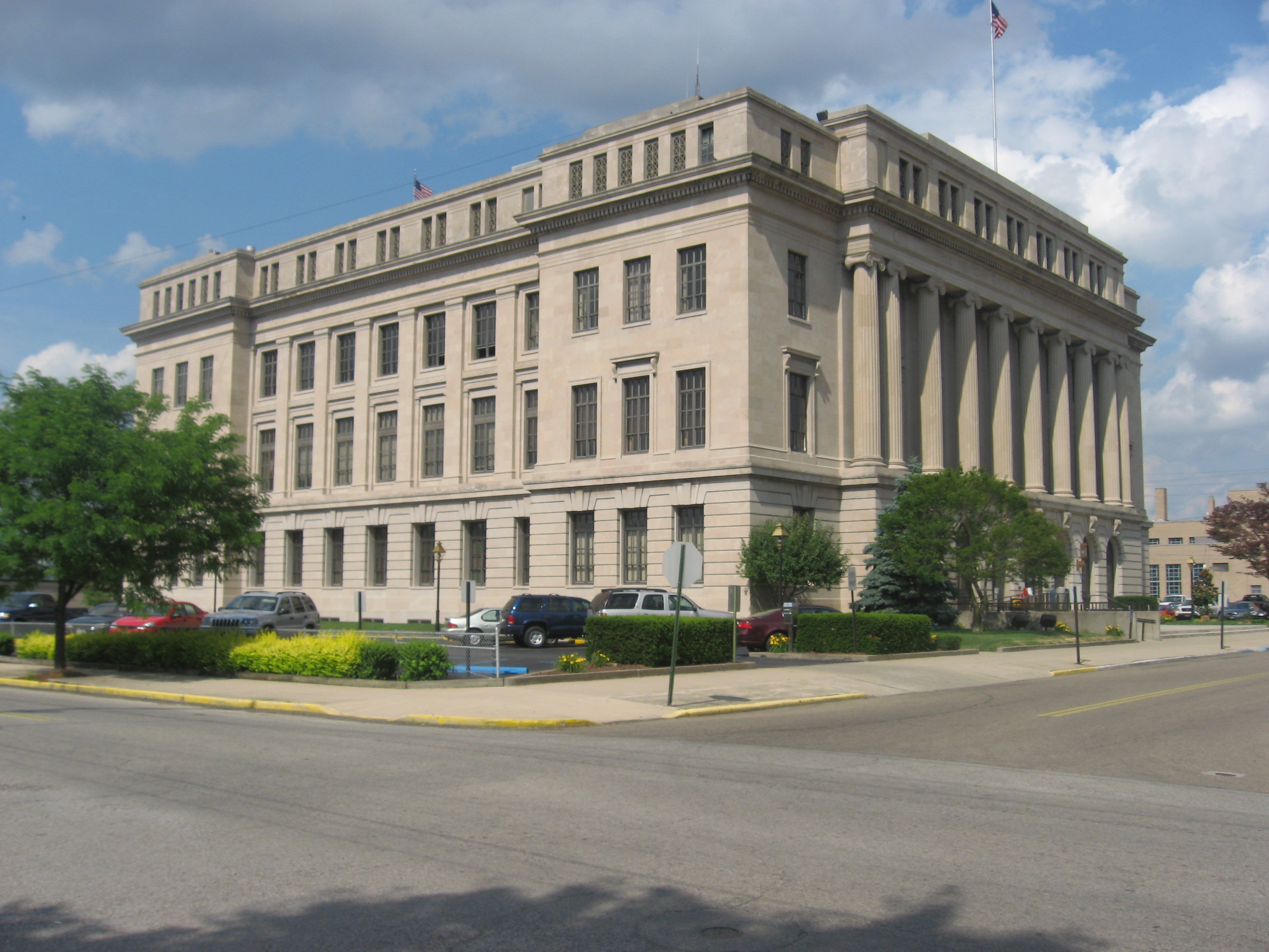
38°44′03″N 83°00′08″W / 38.734167°N 83.002222°WPortsmouth 32 Scioto County Courthouse 
December 8, 1987 Bounded by 7th, Court, 6th, and Washington Sts.
38°44′07″N 83°00′01″W / 38.735278°N 83.000278°WPortsmouth 33 Second Presbyterian Church August 22, 1996 801 Waller St.
38°44′11″N 82°59′23″W / 38.736389°N 82.989722°WPortsmouth 34 Second Street Historic District November 30, 1983 2nd St.
38°43′52″N 82°59′25″W / 38.731111°N 82.990278°WPortsmouth 35 Sixth Street Historic District March 10, 1988 533, 534, 537, 538, 541, 542, 543, 547, and 548 6th St., west of Court St.
38°44′05″N 83°00′04″W / 38.734722°N 83.001111°WPortsmouth 36 Steindam House December 8, 1987 725 Court St.
38°44′10″N 83°00′03″W / 38.736111°N 83.000833°WPortsmouth 37 Streich Apartments December 8, 1987 716-722 Washington St.
38°44′10″N 82°59′55″W / 38.736111°N 82.998611°WPortsmouth 38 Tremper Mound and Works 
December 8, 1972 West of State Routes 73 and 104 north of West Portsmouth
38°48′6″N 83°0′36″W / 38.80167°N 83.01°W[6]Rush Township 39 Tripp-Bauer Building June 9, 1988 51-53 N. Jackson St.
38°49′00″N 82°43′35″W / 38.816667°N 82.726389°WSouth Webster 40 Zottman House August 8, 1996 11 Offners St.
38°43′46″N 82°59′10″W / 38.729444°N 82.986111°WPortsmouth Former listing
[3] Landmark name Image Date listed Location City or town Summary 1 Lyric Theater January 1, 1991 820 Gallia St.
38°44′4″N 82°59′43.6″W / 38.73444°N 82.995444°WPortsmouth Listed on May 15, 1974 See also
References
- ^ The latitude and longitude information provided in this table was derived originally from the National Register Information System, which has been found to be fairly accurate for about 99% of listings. For about 1% of NRIS original coordinates, experience has shown that one or both coordinates are typos or otherwise extremely far off; some corrections may have been made. A more subtle problem causes many locations to be off by up to 150 yards, depending on location in the country: most NRIS coordinates were derived from tracing out latitude and longitudes off of USGS topographical quadrant maps created under the North American Datum of 1927, which differs from the current, highly accurate WGS84 GPS system used by Google maps. Chicago is about right, but NRIS longitudes in Washington are higher by about 4.5 seconds, and are lower by about 2.0 seconds in Maine. Latitudes differ by about 1.0 second in Florida. Some locations in this table may have been corrected to current GPS standards.
- ^ "National Register of Historic Places: Weekly List Actions". National Park Service, United States Department of the Interior. Retrieved on November 10, 2011.
- ^ a b Numbers represent an ordering by significant words. Various colorings, defined here, differentiate National Historic Landmark sites and National Register of Historic Places Districts from other NRHP buildings, structures, sites or objects.
- ^ "National Register Information System". National Register of Historic Places. National Park Service. . http://nrhp.focus.nps.gov/natreg/docs/All_Data.html.
- ^ Location derived from Mills, William C. Archeological Atlas of Ohio. Columbus: Ohio State Archeological and Historical Society, 1914, page 73 and plate 73. The NRIS lists the site as "Address Restricted".
- ^ Location derived from its GNIS feature record; the NRIS lists the site as "Address Restricted"
National Register of Historic Places in Ohio Lists by county Adams • Allen • Ashland • Ashtabula • Athens • Auglaize • Belmont • Brown • Butler • Carroll • Champaign • Clark • Clermont • Clinton • Columbiana • Coshocton • Crawford • Cuyahoga • Darke • Defiance • Delaware • Erie • Fairfield • Fayette • Franklin • Fulton • Gallia • Geauga • Greene • Guernsey • Hamilton • Hancock • Hardin • Harrison • Henry • Highland • Hocking • Holmes • Huron • Jackson • Jefferson • Knox • Lake • Lawrence • Licking • Logan • Lorain • Lucas • Madison • Mahoning • Marion • Medina • Meigs • Mercer • Miami • Monroe • Montgomery • Morgan • Morrow • Muskingum • Noble • Ottawa • Paulding • Perry • Pickaway • Pike • Portage • Preble • Putnam • Richland • Ross • Sandusky • Scioto • Seneca • Shelby • Stark • Summit • Trumbull • Tuscarawas • Union • Van Wert • Vinton • Warren • Washington • Wayne • Williams • Wood • Wyandot

Lists by city Other lists Municipalities and communities of Scioto County, Ohio City 
Villages New Boston | Otway | Rarden | South Webster
Townships CDPs Unincorporated
communitiesClarktown | Coles Park | Friendship | Haverhill | McDermott | Minford | Mule Town | Scioto Furnace
Categories:- National Register of Historic Places in Ohio by county
- Scioto County, Ohio
-


Wikimedia Foundation. 2010.