- National Register of Historic Places listings in Crawford County, Ohio
-
 Location of Crawford County in Ohio
This is a list of the National Register of Historic Places listings in Crawford County, Ohio.
This is intended to be a complete list of the properties and districts on the National Register of Historic Places in Crawford County, Ohio, United States. The locations of National Register properties and districts for which the latitude and longitude coordinates are included below, may be seen in a Google map.[1]
There are 26 properties and districts listed on the National Register in the county. Another property was once listed but has been removed.
-
- This National Park Service list is complete through NPS recent listings posted November 10, 2011.[2]
Current listings
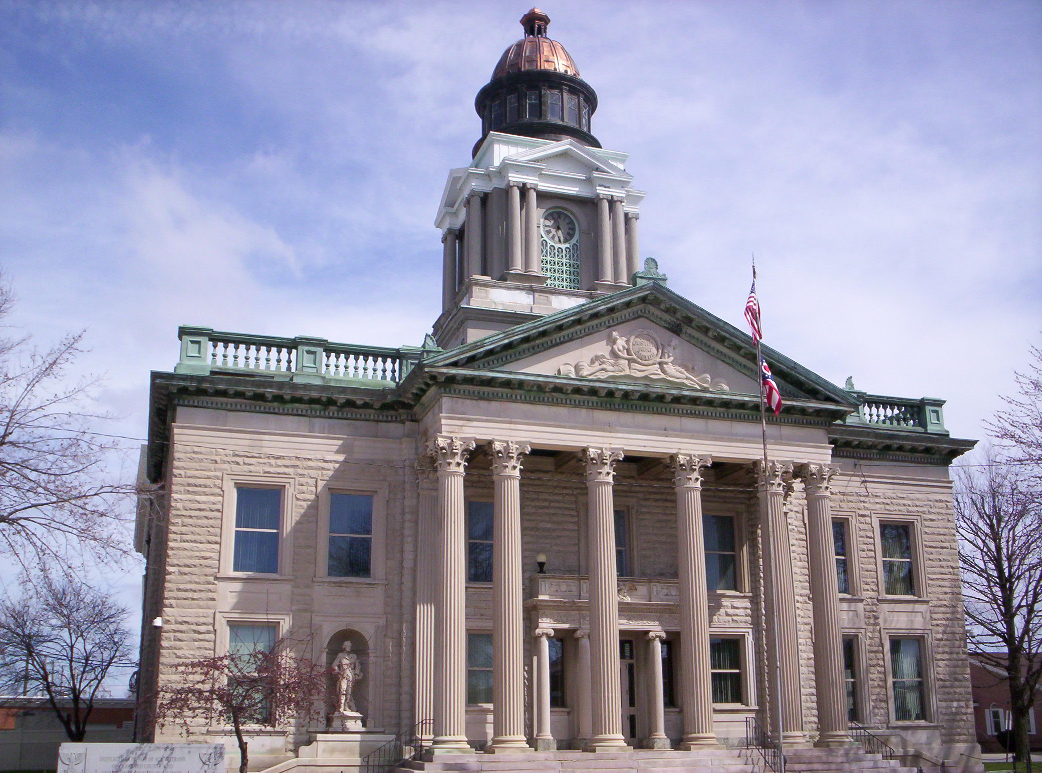
[3] Landmark name [4] Image Date listed Location City or town Summary 1 Judge Thomas Beer House 
March 24, 1980 306 W. Southern Ave.
40°47′51″N 82°58′40″W / 40.7975°N 82.977778°WBucyrus 2 Big Four Depot 
July 7, 1975 Southeastern corner of Church and Washington Sts.
40°44′04″N 82°47′02″W / 40.734444°N 82.783889°WGalion 3 Herbert S. Blair House March 24, 1980 212 S. Lane St.
40°48′25″N 82°58′16″W / 40.806944°N 82.971111°WBucyrus 4 Brownella Cottage and Grace Episcopal Church and Rectory September 27, 1980 S. Union and Walnut Sts.
40°43′59″N 82°47′28″W / 40.733056°N 82.791111°WGalion 5 Bucyrus Commercial Historic District 
February 28, 1985 Sandusky Ave. and Mansfield St.
40°48′31″N 82°58′32″W / 40.808644°N 82.975594°WBucyrus 6 Bucyrus Mausoleum September 27, 1980 Southern Ave.
40°47′50″N 82°59′08″W / 40.797222°N 82.985556°WBucyrus 7 Central Hotel, Hackedorn and Zimmerman Building November 13, 1976 Southwestern corner of Harding Way E. and Market Sts.
40°44′00″N 82°47′24″W / 40.733333°N 82.79°WGalion 8 Dr. John Chesney House March 24, 1980 225 E. Mansfield St.
40°48′31″N 82°58′18″W / 40.808611°N 82.971667°WBucyrus 9 Col. William Crawford Capture Site April 3, 1979 0.5 miles east of State Route 598 and County Road 229, east of Leesville
40°47′50″N 82°46′56″W / 40.797222°N 82.782222°WJefferson Township 10 Crestline City Hall 
May 8, 1974 121 W. Bucyrus St.
40°47′03″N 82°45′04″W / 40.784167°N 82.751111°WCrestline 11 Stephen R. Harris House July 24, 1980 548 East St.
40°48′19″N 82°58′16″W / 40.805278°N 82.971111°WBucyrus 12 Harvey One-Room School March 17, 2010 1120 Caldwell Rd., southwest of Bucyrus
40°44′49″N 83°03′29″W / 40.746886°N 83.058086°WBucyrus Township 13 Heckler Farmhouse May 3, 1976 North of downtown Crestline off State Route 61 on Oldfield Rd.
40°47′55″N 82°44′16″W / 40.798611°N 82.737778°WCrestline 14 Hoffman House 
November 29, 1978 211 Thoman St.
40°47′08″N 82°44′17″W / 40.785556°N 82.738056°WCrestline 15 Hosford House April 30, 1976 6288 Hosford Rd., southwest of Galion
40°43′24″N 82°49′04″W / 40.723333°N 82.817778°WPolk Township 16 Adam Howard House March 30, 1978 230 S. Boston St.
40°43′52″N 82°47′36″W / 40.731111°N 82.793333°WGalion 17 J & M Trading Post April 3, 1979 6867 Leesville Rd. in Leesville
40°47′42″N 82°47′18″W / 40.795°N 82.788333°WJefferson Township 18 J & M Trading Post - Annex April 3, 1979 Leesville Rd. in Leesville
40°47′42″N 82°47′17″W / 40.795°N 82.788056°WJefferson Township 19 Leesville Town Hall April 3, 1979 State Route 598 and County Road 229 in Leesville
40°47′43″N 82°47′18″W / 40.795278°N 82.788333°WJefferson Township 20 McGraw House July 18, 1975 116 S. Walnut St.
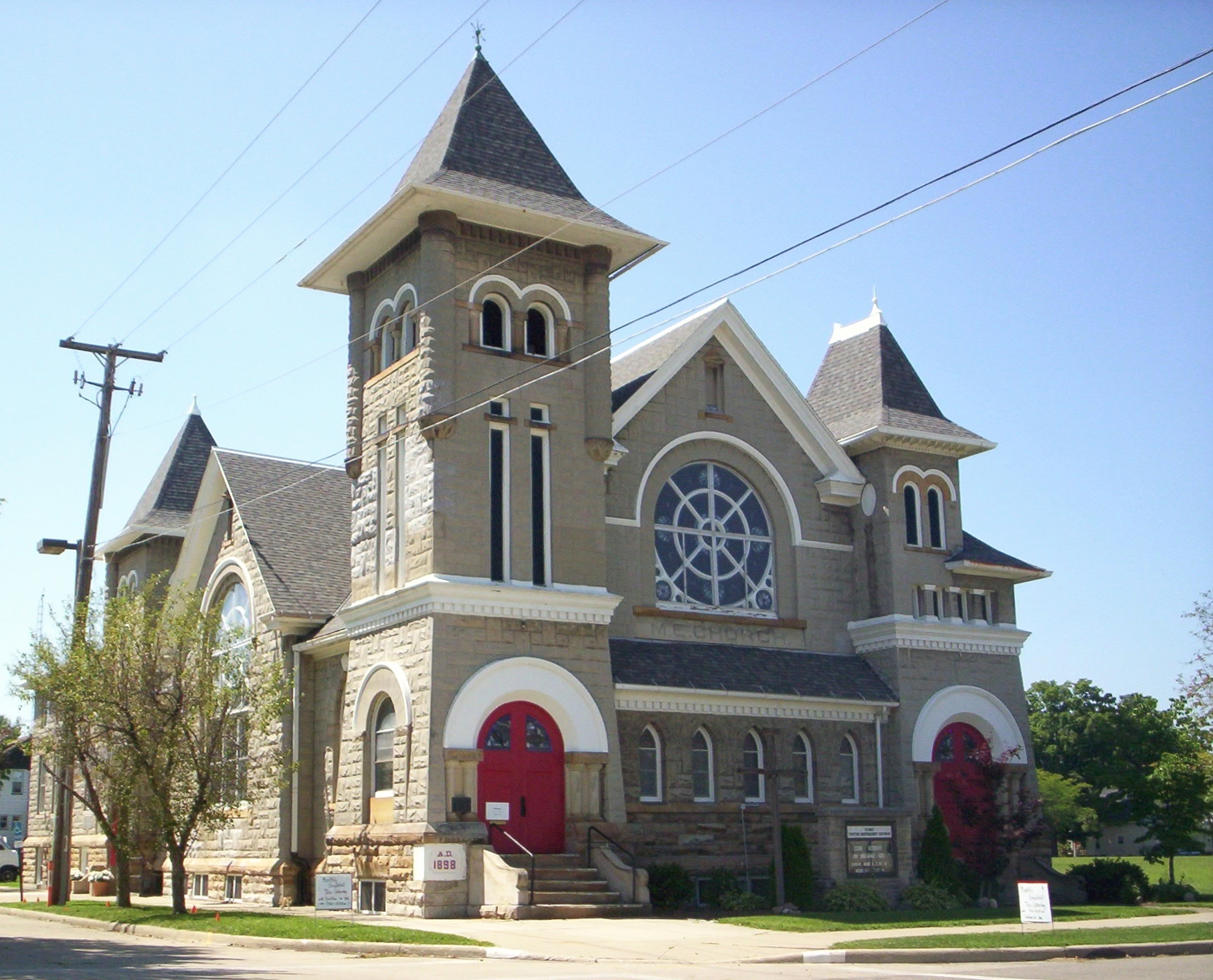
40°48′30″N 82°58′26″W / 40.808333°N 82.973889°WBucyrus 21 Methodist Episcopal Church 
October 27, 1978 Thoman and Union Sts.
40°47′08″N 82°44′18″W / 40.785556°N 82.738333°WCrestline 22 Monnett Memorial M. E. Chapel December 29, 1986 999 State Route 98, southwest of Bucyrus
40°44′25″N 82°59′41″W / 40.740278°N 82.994722°WBucyrus Township 23 D. Picking and Company July 11, 1974 119 S. Walnut St.
40°48′21″N 82°58′27″W / 40.805833°N 82.974167°WBucyrus 74001425 24 Scroggs House 
October 9, 1974 202 S. Walnut St.
40°48′27″N 82°58′26″W / 40.8075°N 82.973889°WBucyrus 25 Smith Road Bridge 
October 7, 1980 Northwest of Bucyrus
40°55′37″N 83°02′08″W / 40.926944°N 83.035556°WLykens Township 26 Toledo and Ohio Central Depot 
October 3, 1980 700 E. Rensselaer St.
40°48′28″N 82°58′02″W / 40.807778°N 82.967222°WBucyrus Former listing
[3] Landmark name Image Date listed Location City or town Summary 1 Calvary Reformed Church February 20, 1980 Thoman and John Sts.
40°47′14.8″N 82°44′18″W / 40.787444°N 82.73833°WCrestline See also
References
- ^ The latitude and longitude information provided in this table was derived originally from the National Register Information System, which has been found to be fairly accurate for about 99% of listings. For about 1% of NRIS original coordinates, experience has shown that one or both coordinates are typos or otherwise extremely far off; some corrections may have been made. A more subtle problem causes many locations to be off by up to 150 yards, depending on location in the country: most NRIS coordinates were derived from tracing out latitude and longitudes off of USGS topographical quadrant maps created under the North American Datum of 1927, which differs from the current, highly accurate WGS84 GPS system used by Google maps. Chicago is about right, but NRIS longitudes in Washington are higher by about 4.5 seconds, and are lower by about 2.0 seconds in Maine. Latitudes differ by about 1.0 second in Florida. Some locations in this table may have been corrected to current GPS standards.
- ^ "National Register of Historic Places: Weekly List Actions". National Park Service, United States Department of the Interior. Retrieved on November 10, 2011.
- ^ a b Numbers represent an ordering by significant words. Various colorings, defined here, differentiate National Historic Landmark sites and National Register of Historic Places Districts from other NRHP buildings, structures, sites or objects.
- ^ "National Register Information System". National Register of Historic Places. National Park Service. . http://nrhp.focus.nps.gov/natreg/docs/All_Data.html.
National Register of Historic Places in Ohio Lists by county Adams • Allen • Ashland • Ashtabula • Athens • Auglaize • Belmont • Brown • Butler • Carroll • Champaign • Clark • Clermont • Clinton • Columbiana • Coshocton • Crawford • Cuyahoga • Darke • Defiance • Delaware • Erie • Fairfield • Fayette • Franklin • Fulton • Gallia • Geauga • Greene • Guernsey • Hamilton • Hancock • Hardin • Harrison • Henry • Highland • Hocking • Holmes • Huron • Jackson • Jefferson • Knox • Lake • Lawrence • Licking • Logan • Lorain • Lucas • Madison • Mahoning • Marion • Medina • Meigs • Mercer • Miami • Monroe • Montgomery • Morgan • Morrow • Muskingum • Noble • Ottawa • Paulding • Perry • Pickaway • Pike • Portage • Preble • Putnam • Richland • Ross • Sandusky • Scioto • Seneca • Shelby • Stark • Summit • Trumbull • Tuscarawas • Union • Van Wert • Vinton • Warren • Washington • Wayne • Williams • Wood • Wyandot

Lists by city Other lists Municipalities and communities of Crawford County, Ohio Cities 
Villages Chatfield | Crestline‡ | New Washington | North Robinson | Tiro
Townships Unincorporated
communitiesFootnotes ‡This populated place also has portions in an adjacent county or counties
Categories:- National Register of Historic Places in Ohio by county
- Crawford County, Ohio
-


Wikimedia Foundation. 2010.