- National Register of Historic Places listings in Greene County, Ohio
-
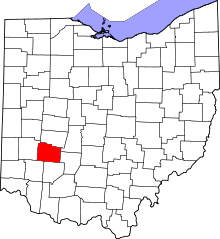 Location of Greene County in Ohio
This is a list of the National Register of Historic Places listings in Greene County, Ohio.
This is intended to be a complete list of the properties and districts on the National Register of Historic Places in Greene County, Ohio, United States. The locations of National Register properties and districts for which the latitude and longitude coordinates are included below, may be seen in a Google map.[1]
There are 38 properties and districts listed on the National Register in the county, including 2 National Historic Landmarks. Another 2 properties were once listed but have been removed.
-
- This National Park Service list is complete through NPS recent listings posted November 10, 2011.[2]
Current listings
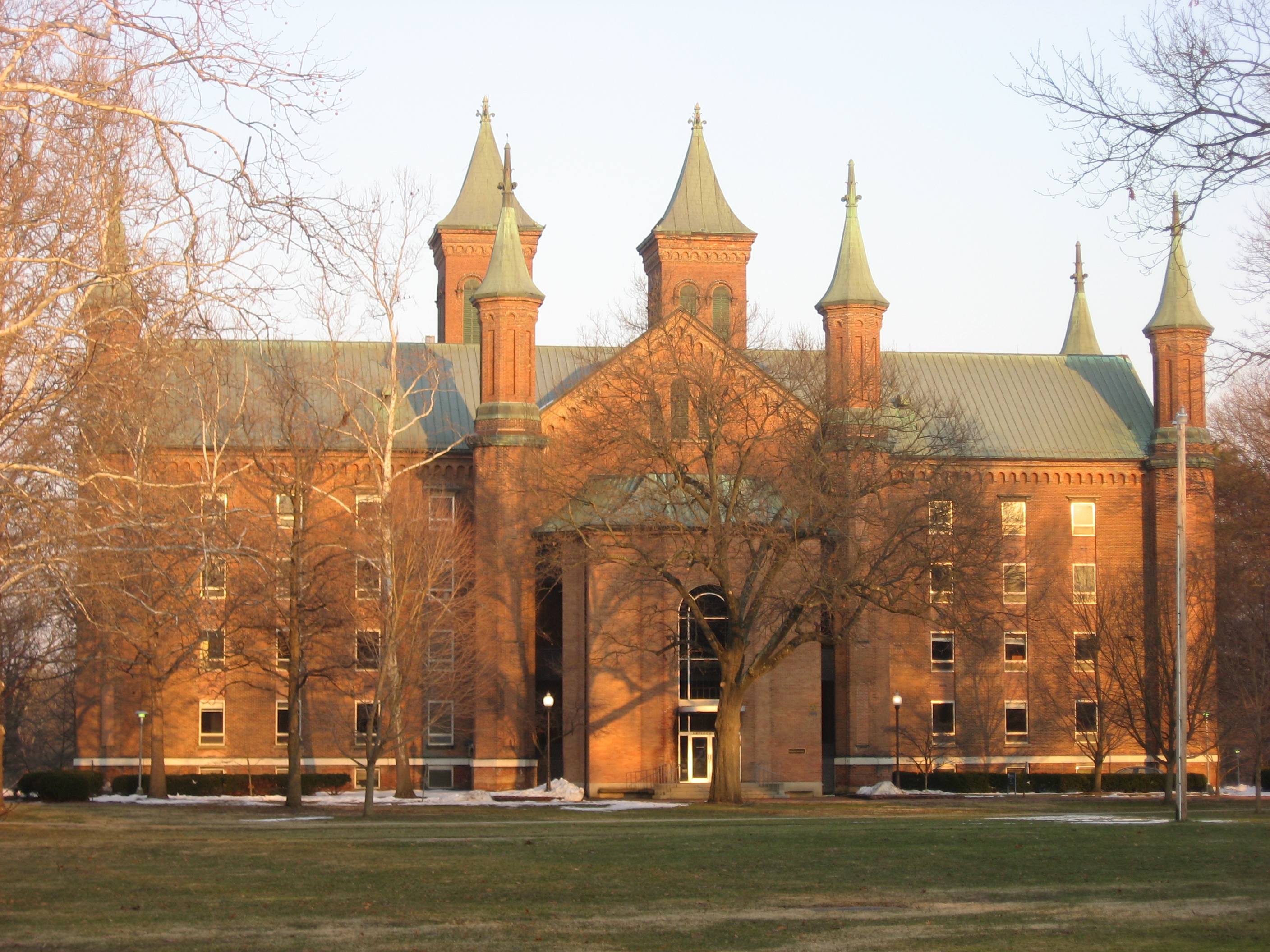
[3] Landmark name [4] Image Date listed Location City or town Summary 1 Antioch Hall, North and South Halls 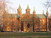
June 30, 1975 Along Hyde Rd. on the Antioch College campus
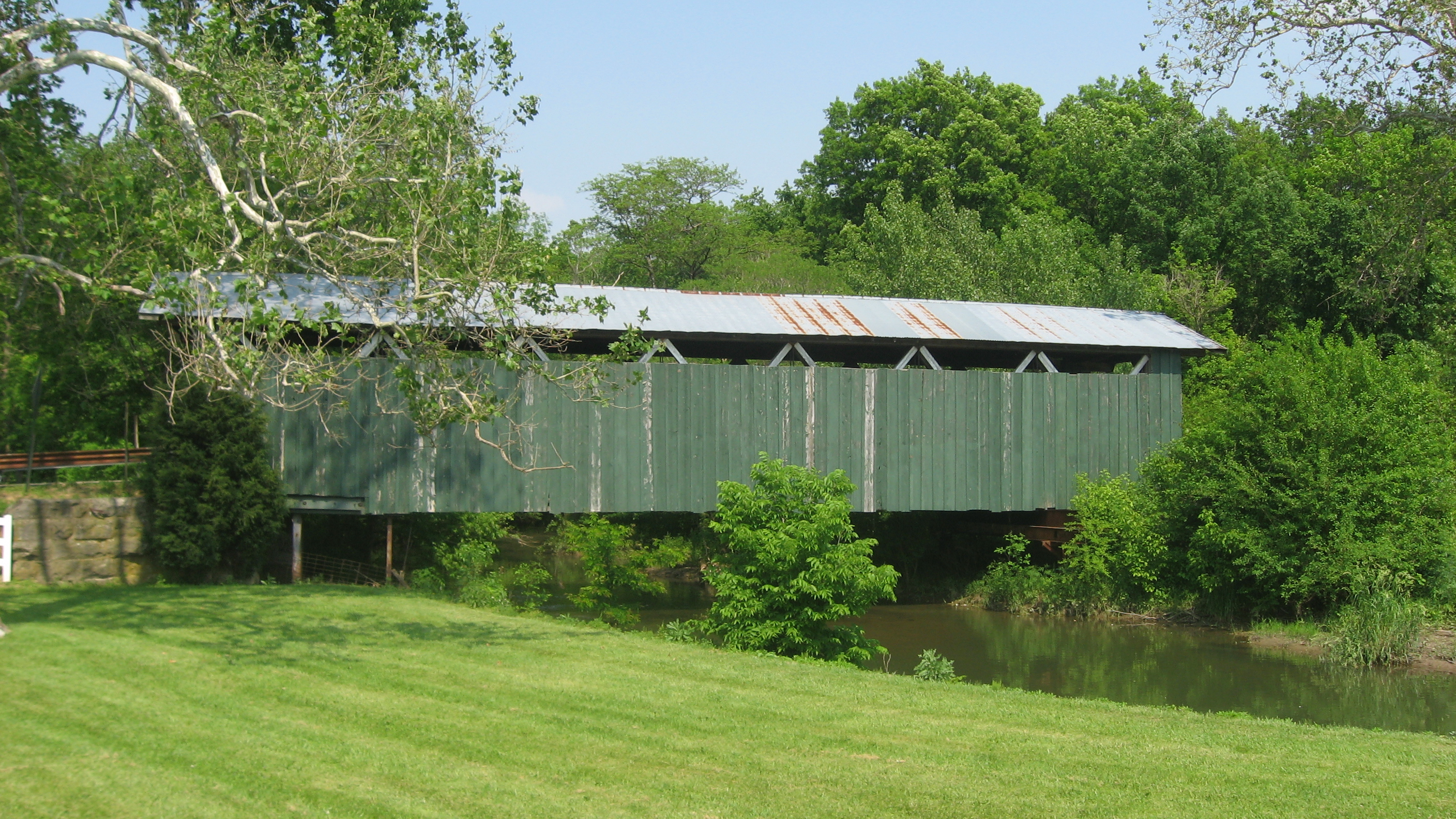
39°47′59″N 83°53′17″W / 39.799722°N 83.888056°WYellow Springs 2 Ballard Road Covered Bridge 
May 29, 1975 Northwest of Jamestown on Ballard Rd. over Caesars Creek
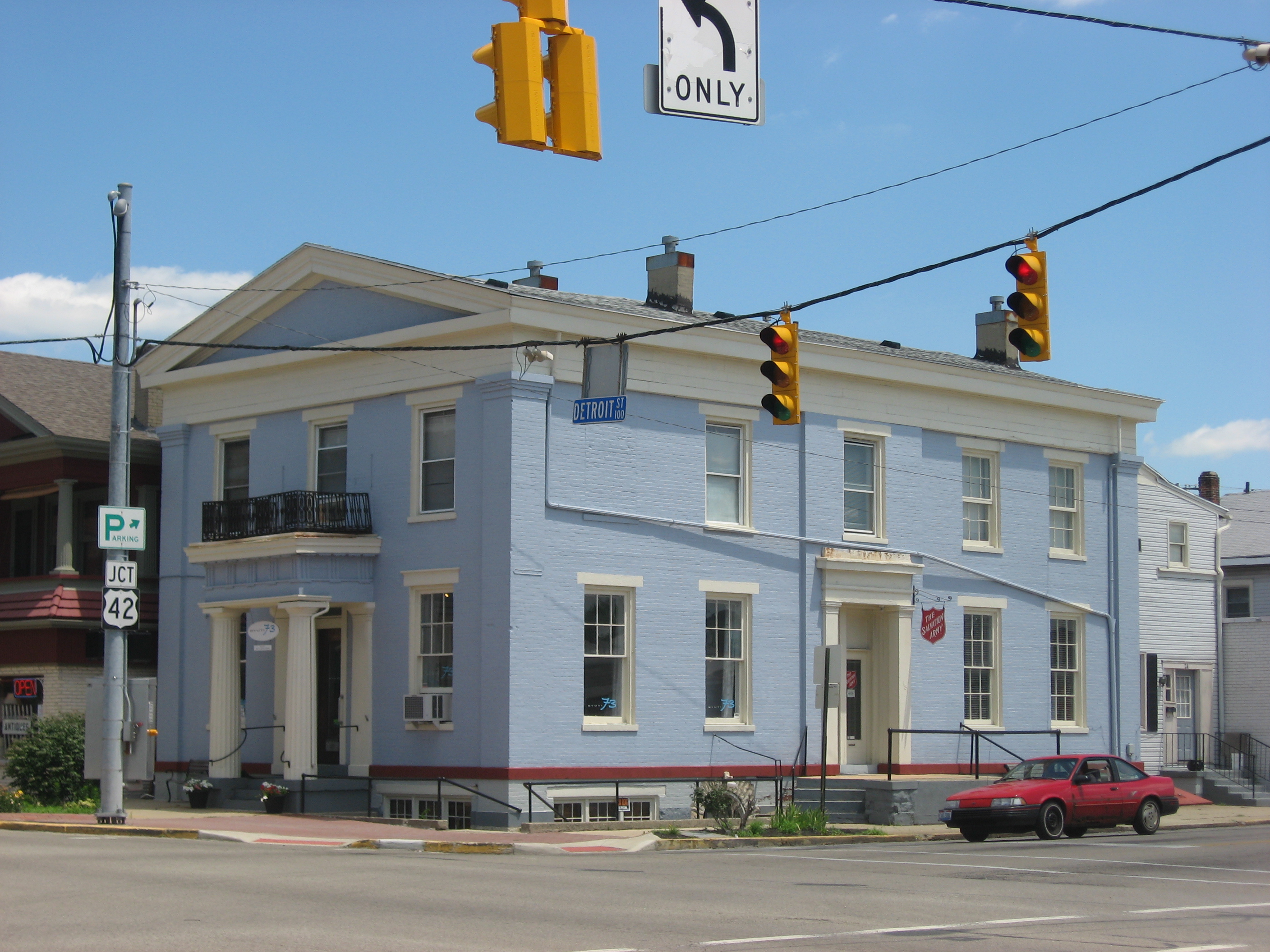
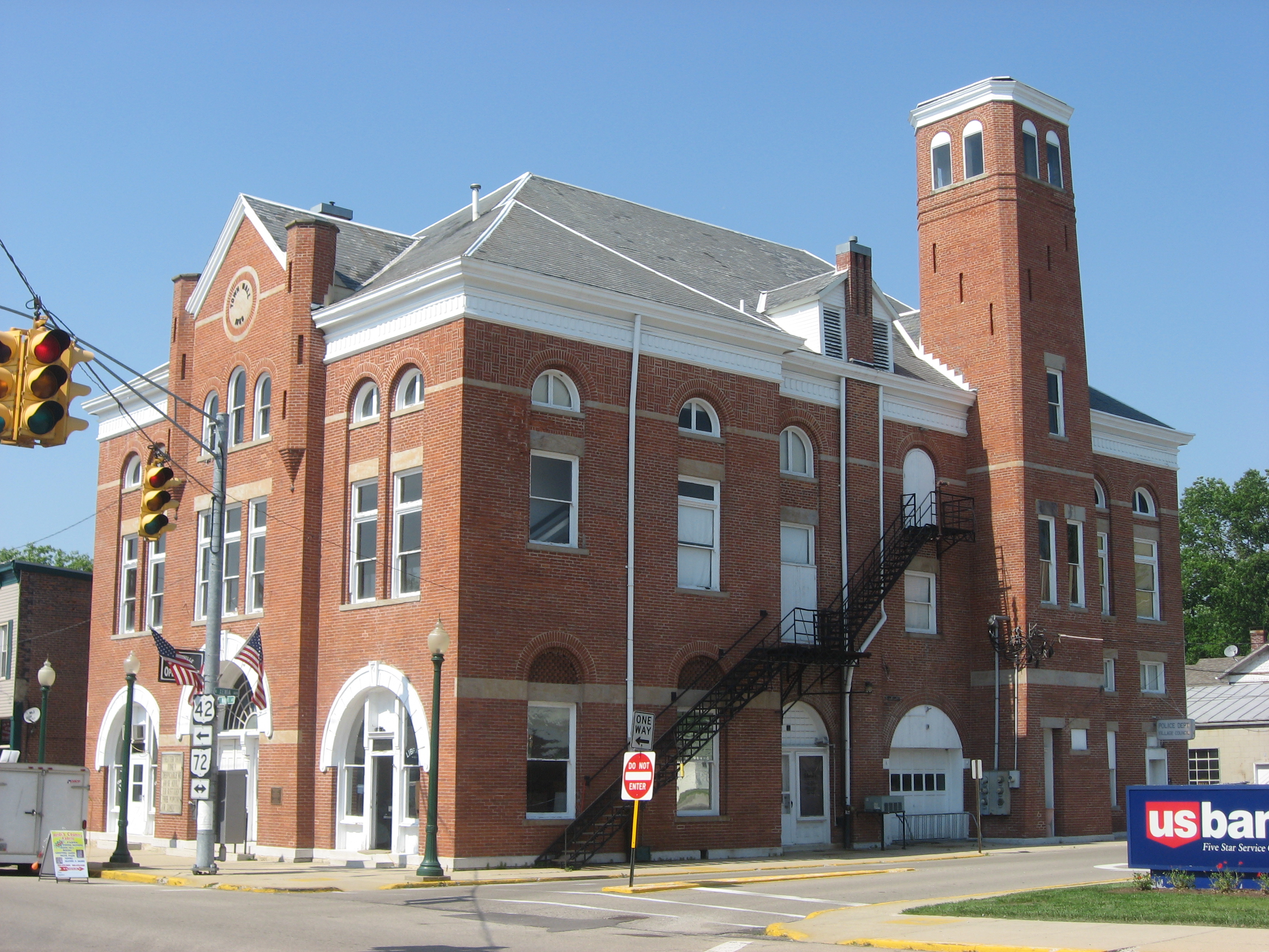
39°40′41″N 83°48′55″W / 39.678056°N 83.815278°WNew Jasper Township 3 Bank of Xenia 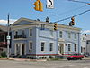
May 7, 1973 Northeastern corner of Detroit and E. 2nd Sts.
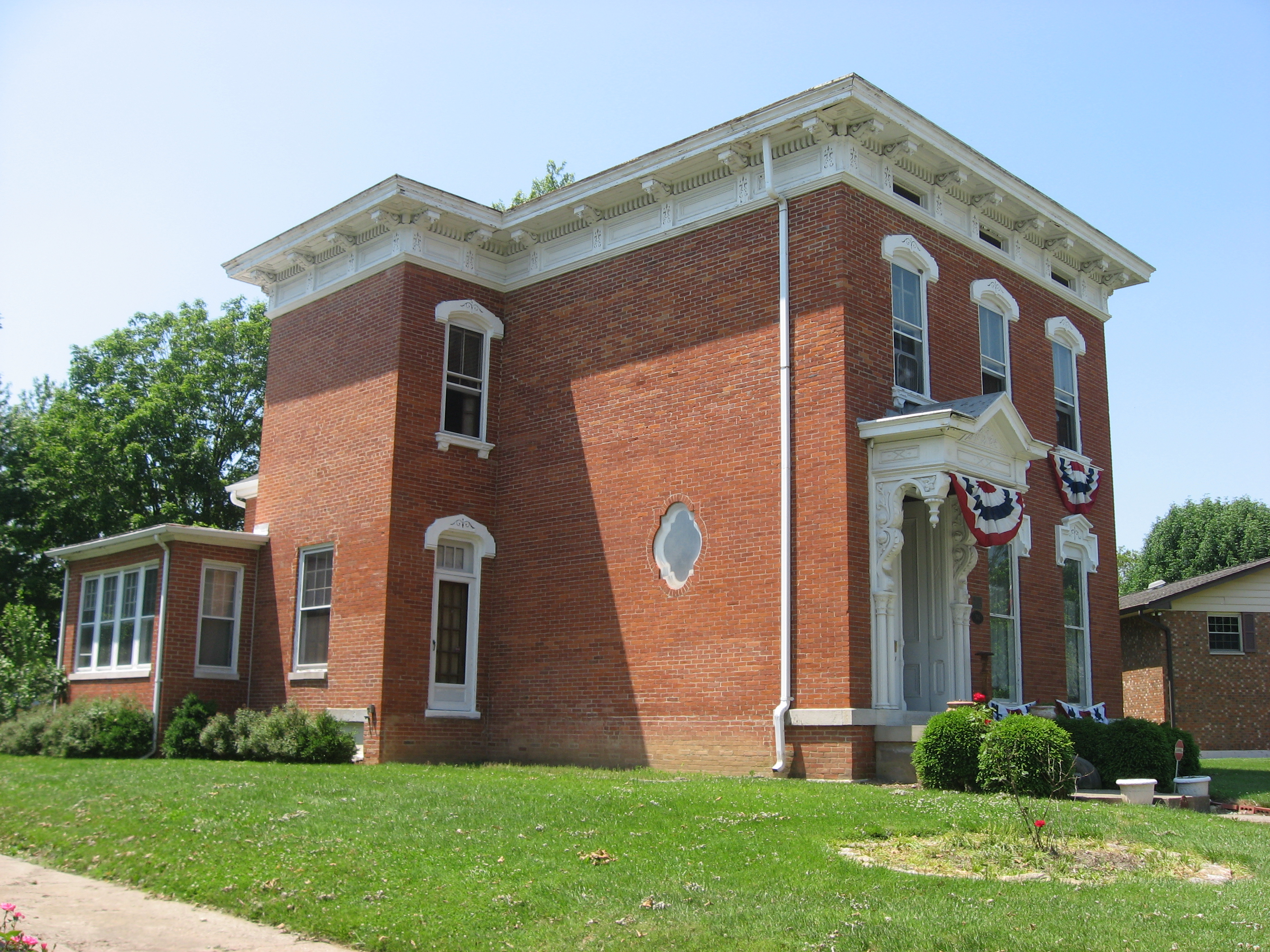
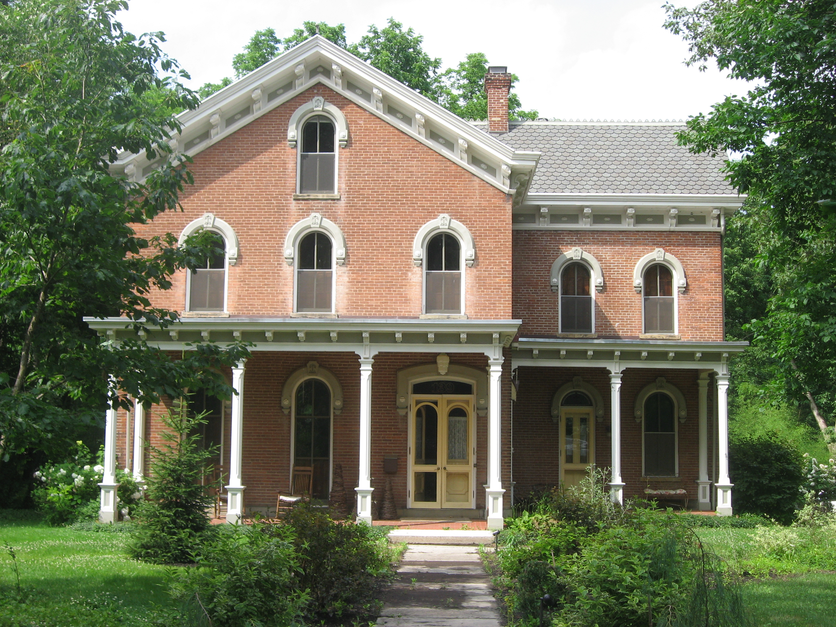
39°41′02″N 83°55′44″W / 39.683889°N 83.928889°WXenia 4 George Barrett Concrete House 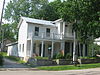
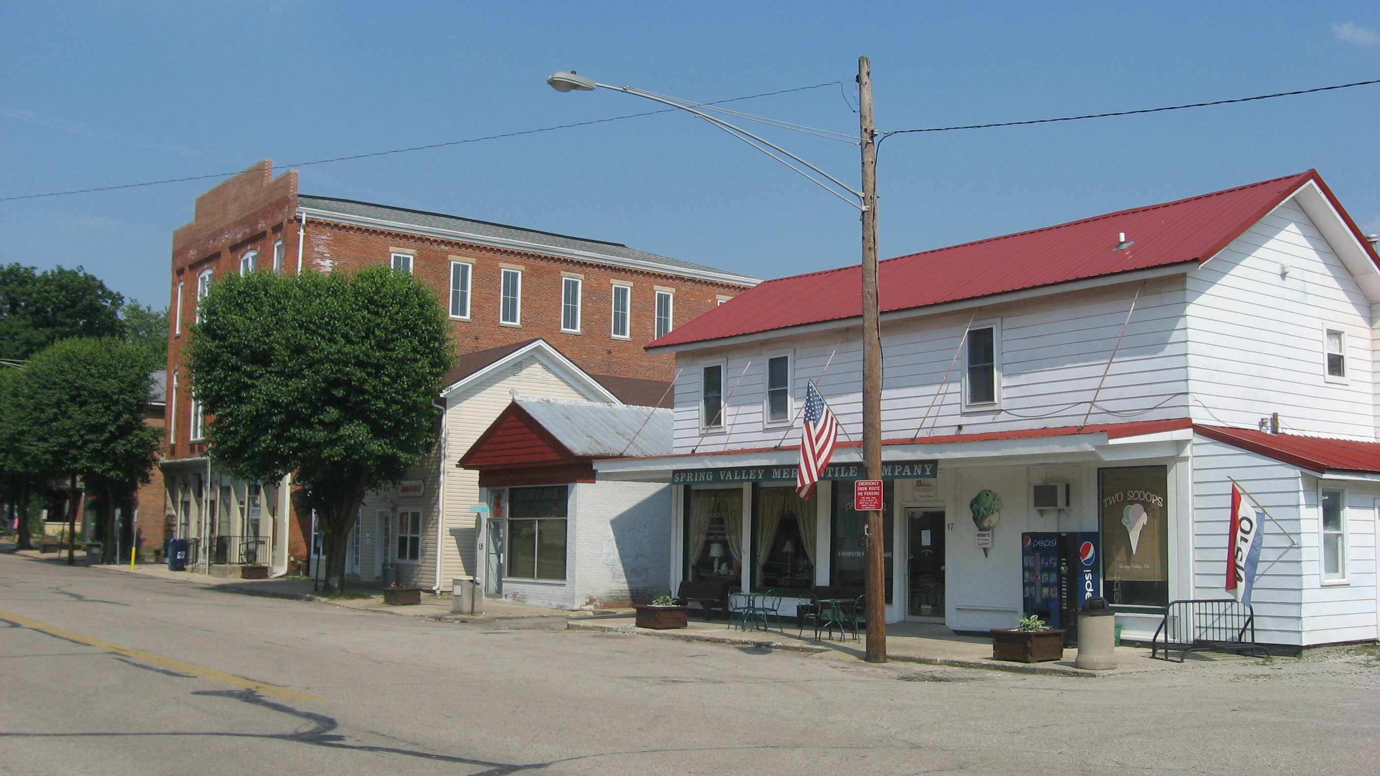
April 10, 1986 4 E. Main St.
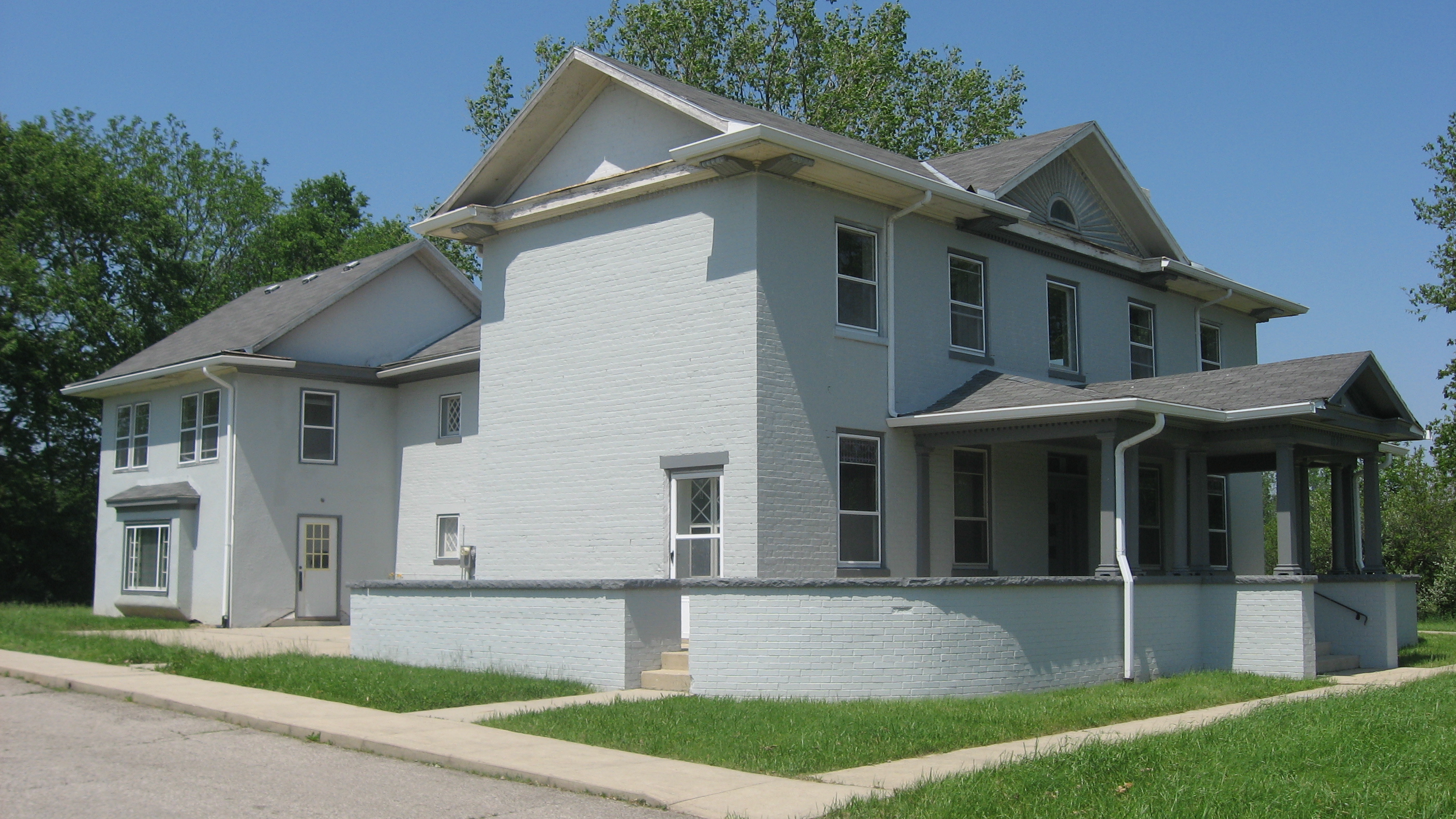
39°36′32″N 84°00′30″W / 39.608889°N 84.008333°WSpring Valley 5 Bath Township Consolidated School September 22, 1983 221 N. Central Ave.
39°49′32″N 84°01′21″W / 39.825556°N 84.0225°WFairborn 6 Berryhill-Morris House 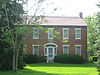
November 12, 1975 South of Bellbrook at 3113 Ferry Rd.
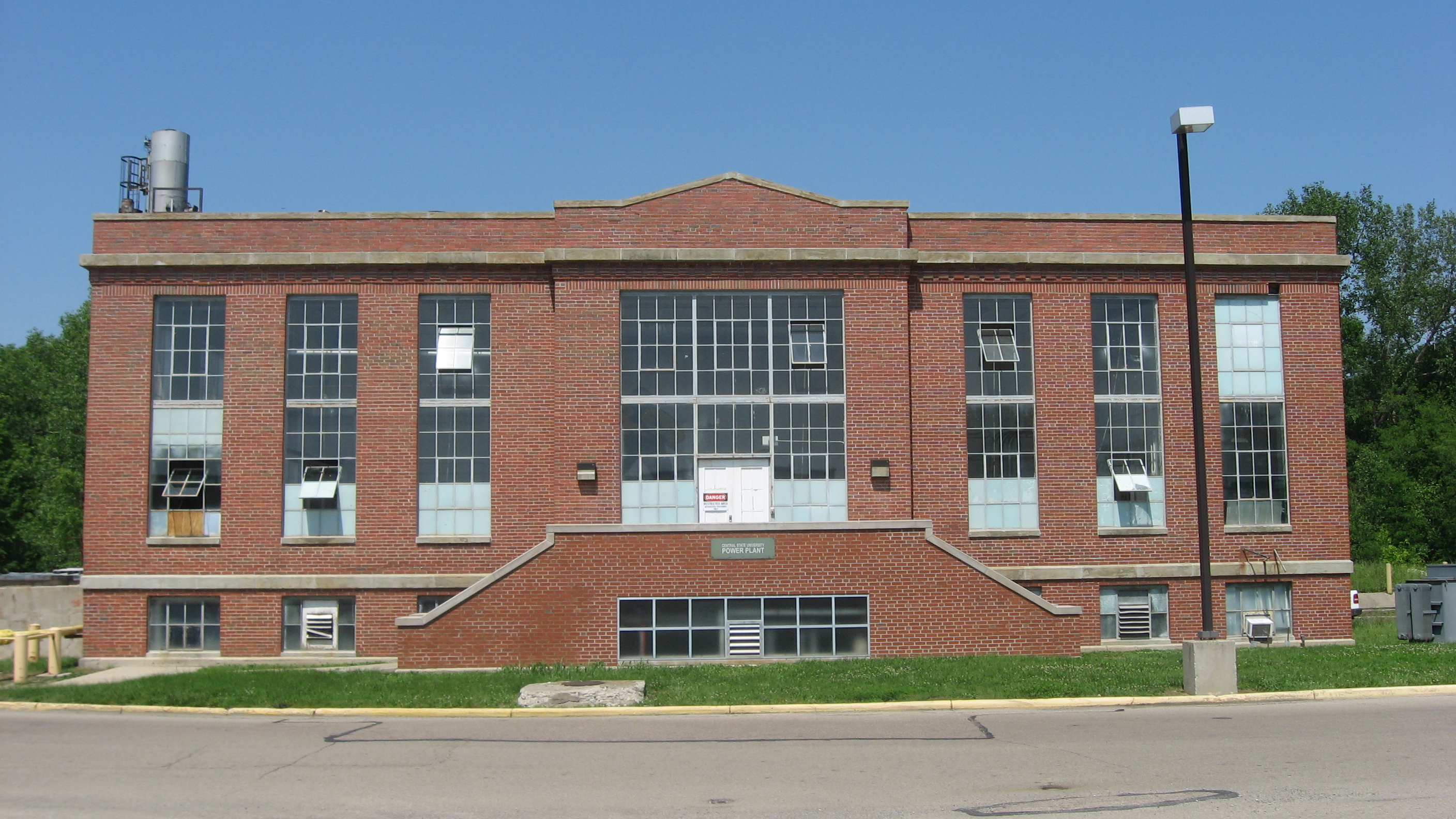
39°36′15″N 84°05′14″W / 39.604167°N 84.087222°WSugar Creek Township 7 C.N. & I. Department Power House 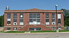
October 30, 2003 Central State University campus in Wilberforce
39°43′01″N 83°52′29″W / 39.716944°N 83.874722°WXenia Township 8 Carnegie Library (Old Wilberforce University Campus) 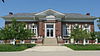
June 16, 2004 1400 Brush Row Rd. in Wilberforce
39°43′03″N 83°52′55″W / 39.7175°N 83.881944°WXenia Township 9 Cedarville Opera House 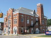
February 9, 1984 78 N. Main St.
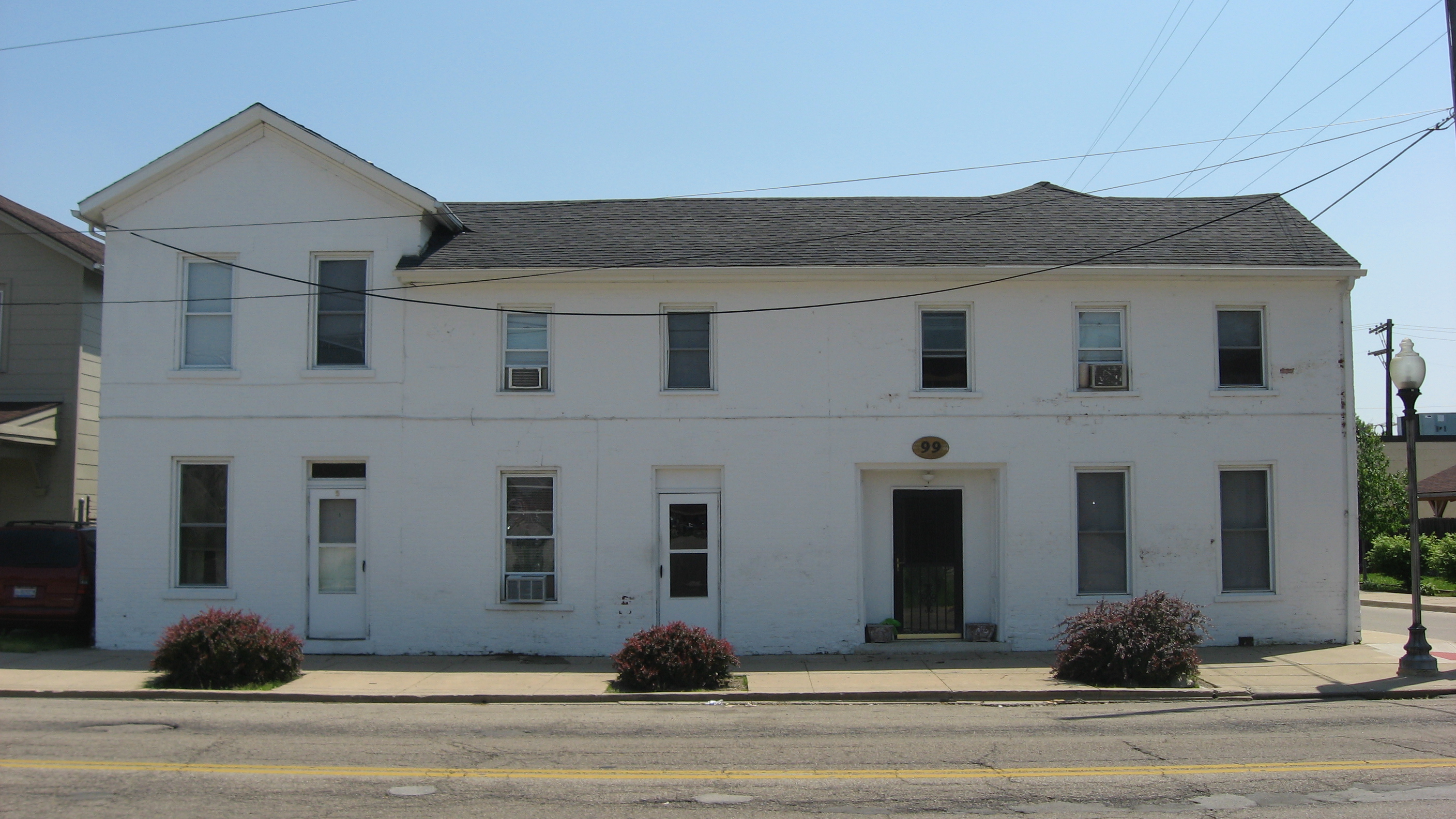
39°44′30″N 83°48′25″W / 39.741667°N 83.806944°WCedarville 10 Alexander Conner House 
July 28, 1987 99 E. 2nd St.
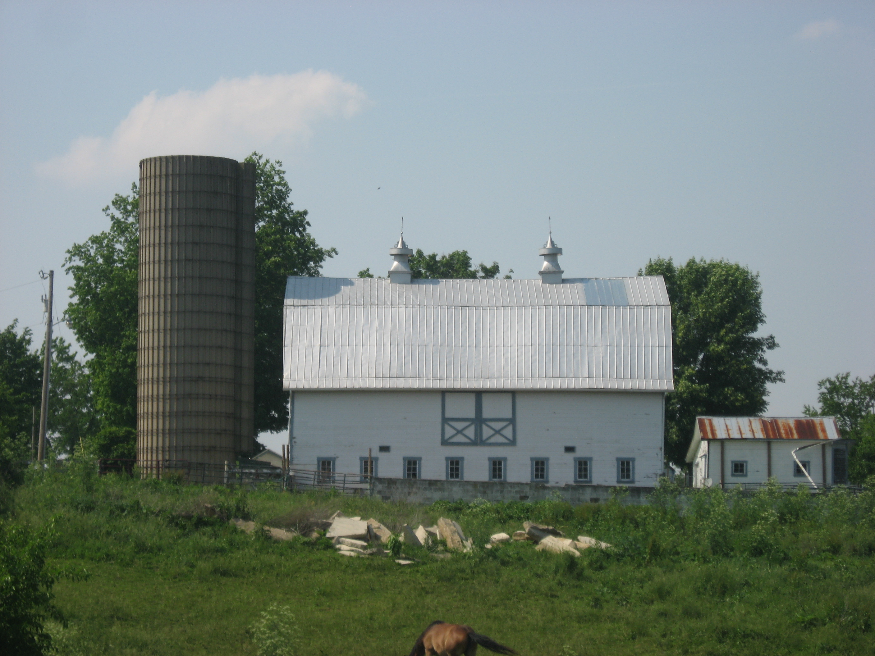
39°41′02″N 83°55′42″W / 39.683889°N 83.928333°WXenia 11 Dean Family Farm 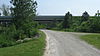
May 29, 1975 5 mi (8.0 km) northwest of Jamestown off U.S. Route 35 on Ballard Rd.; also 199 S. Ballard Rd.
39°40′34″N 83°49′07″W / 39.676111°N 83.818611°WNew Jasper Township 199 Ballard represents a boundary increase of November 16, 1994, the Dean Family Farm Historic District 12 East Second Street District 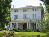
March 20, 1973 235 and 209-213-215 E. 2nd St.; also 184-271 E. 2nd St.
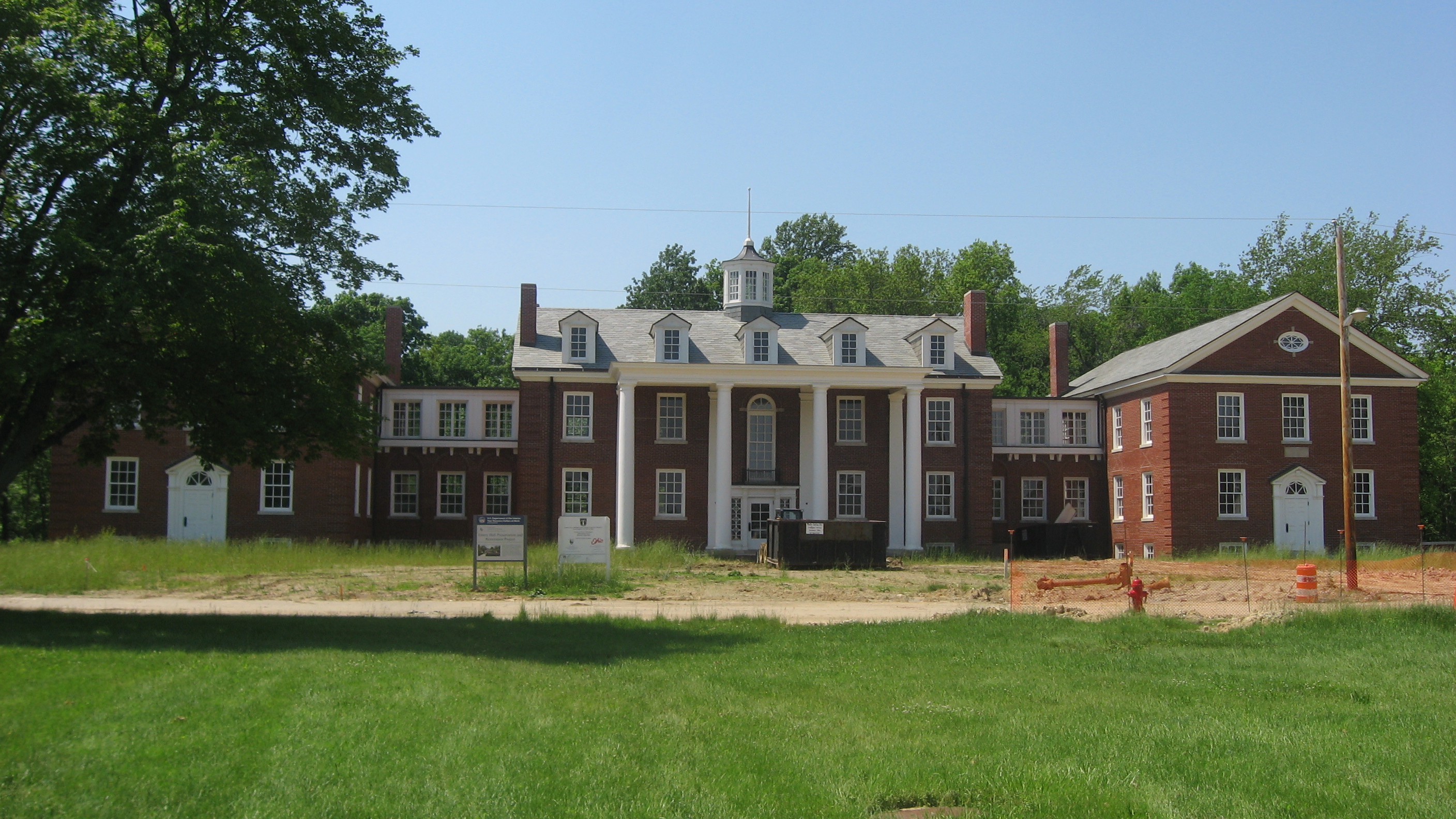
39°41′01″N 83°55′31″W / 39.683611°N 83.925278°WXenia Second set of boundaries represents a boundary increase 13 Emery Hall 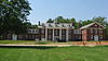
October 4, 2005 Central State University campus in Wilberforce
39°43′03″N 83°52′58″W / 39.7175°N 83.882778°WXenia Township 14 Fairborn Theatre July 27, 2005 34 S. Broad St.
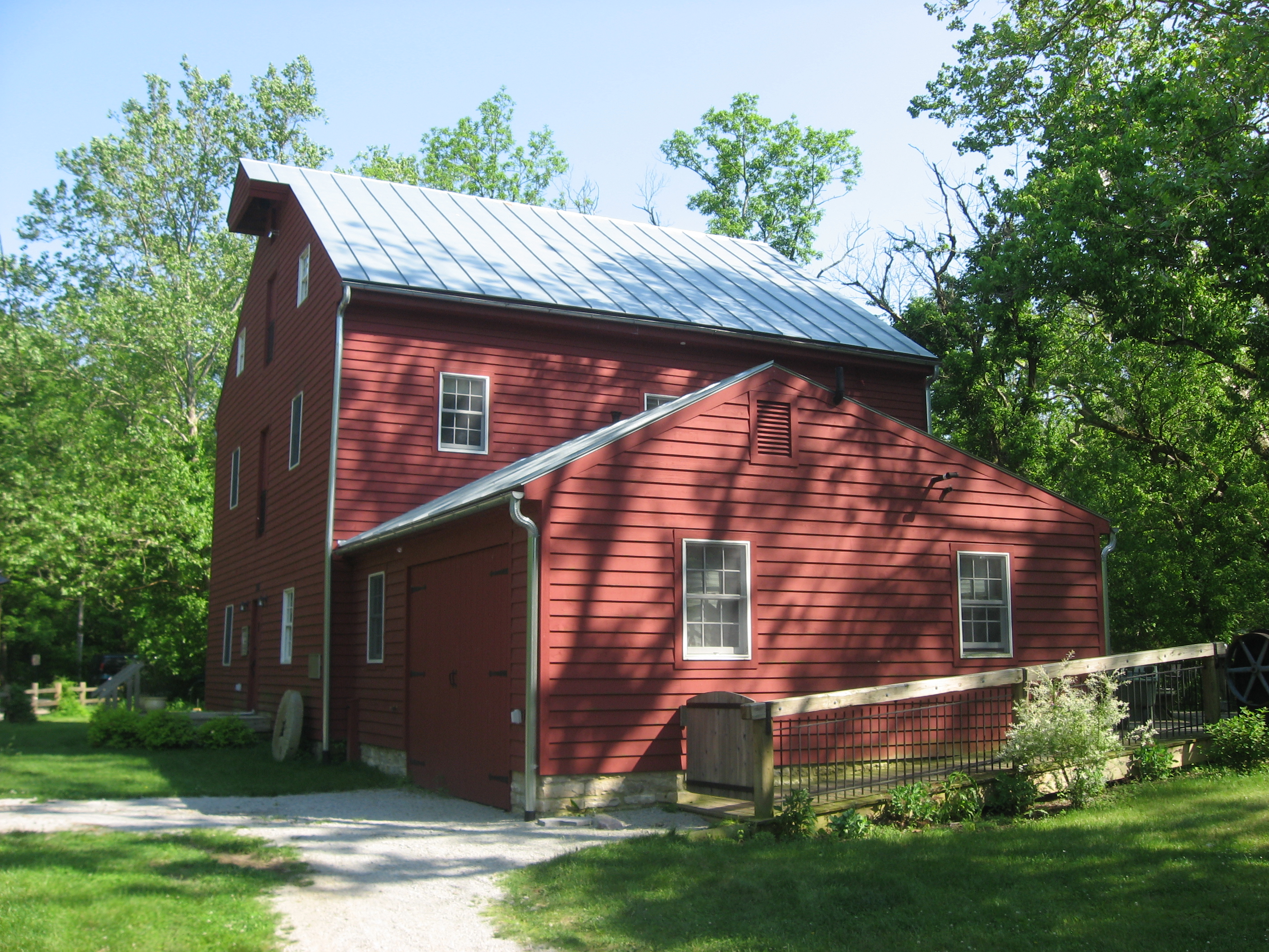
39°49′10″N 84°01′40″W / 39.819444°N 84.027778°WFairborn 15 Grinnell Mill Historic District 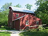
November 29, 1982 3536 Bryan Park Rd., southeast of Yellow Springs
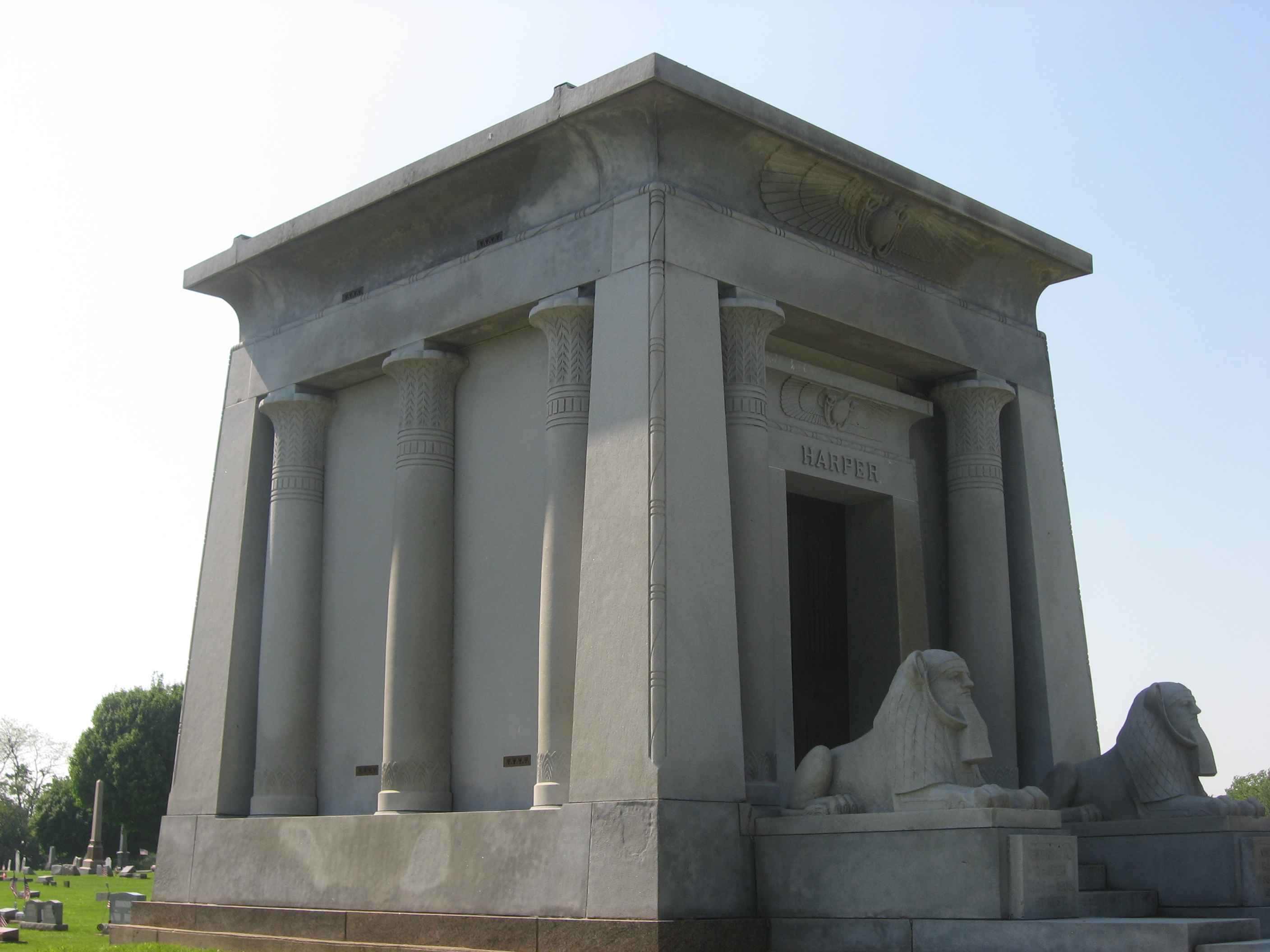
39°46′59″N 83°52′28″W / 39.783056°N 83.874444°WMiami Township 16 Harper Mausoleum and George W. Harper Memorial Entrance 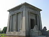
February 11, 1988 North Cemetery along State Route 72
39°45′15″N 83°48′44″W / 39.754167°N 83.812222°WCedarville 17 Hollencamp House 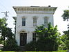
July 18, 1980 339 E. 2nd St.
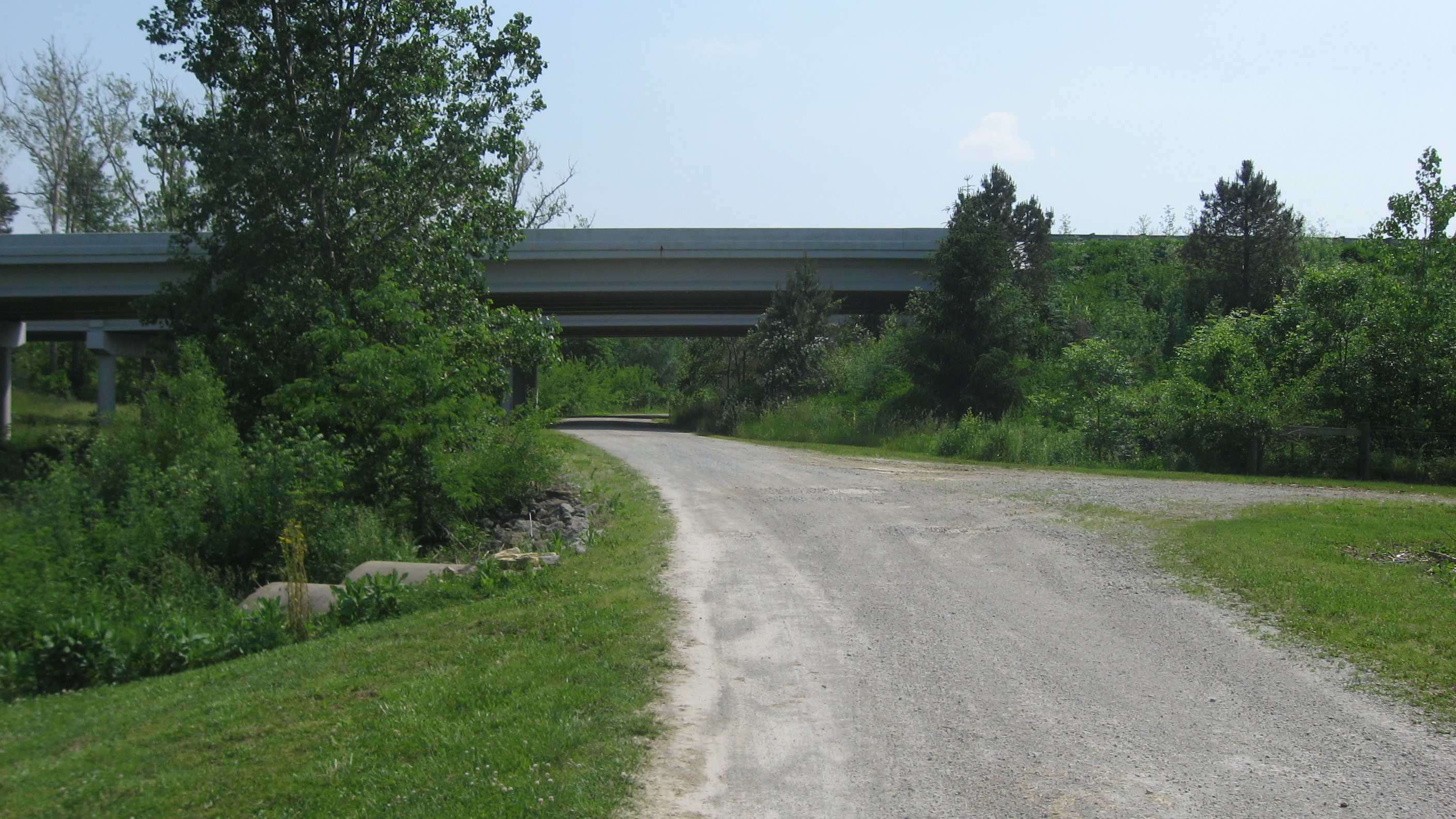
39°41′03″N 83°55′24″W / 39.684167°N 83.923333°WXenia 18 Huffman Field 
May 6, 1971 Wright-Patterson Air Force Base, 1 mi (1.6 km) southwest of Fairborn
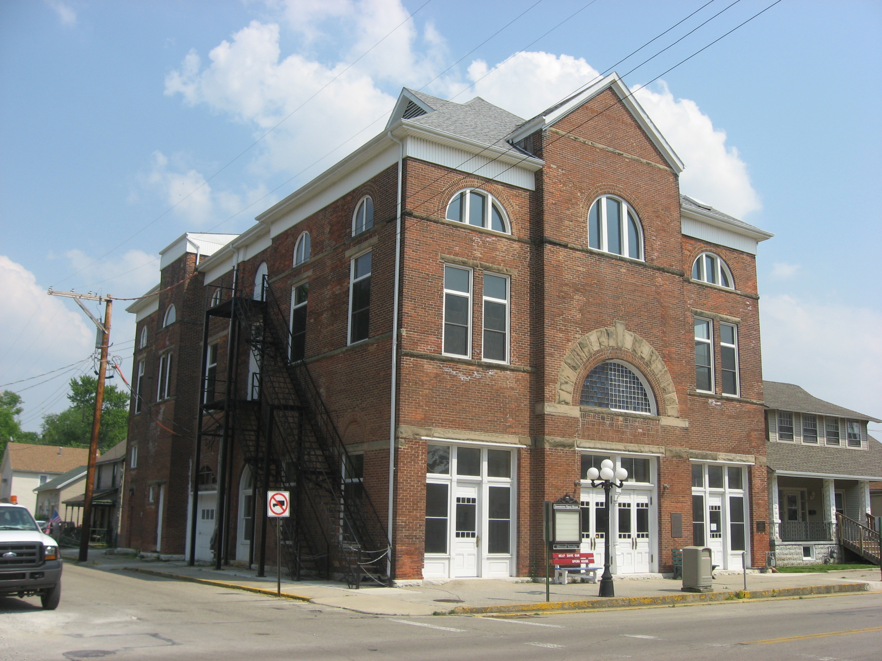
39°48′12″N 84°03′57″W / 39.803333°N 84.065833°WBath Township 19 Jamestown Opera House 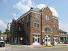
October 17, 2007 19 N. Limestone St.
39°39′32″N 83°44′04″W / 39.658889°N 83.734444°WJamestown 20 Main Street Historic District 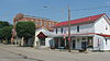
May 19, 1989 Roughly E. and W. Main St. from Elm to Water Sts.
39°36′33″N 84°00′28″W / 39.609167°N 84.007778°WSpring Valley 21 McDonald Farm 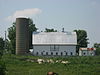
June 14, 1996 1446 Stone Rd., southeast of Xenia
39°38′26″N 83°52′42″W / 39.640556°N 83.878333°WXenia Township 22 Mercer Log House October 16, 1981 41 N. 1st St.
39°49′25″N 84°01′44″W / 39.823611°N 84.028889°WFairborn 23 Millen-Schmidt House 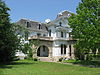
November 7, 1976 184 N. King St.
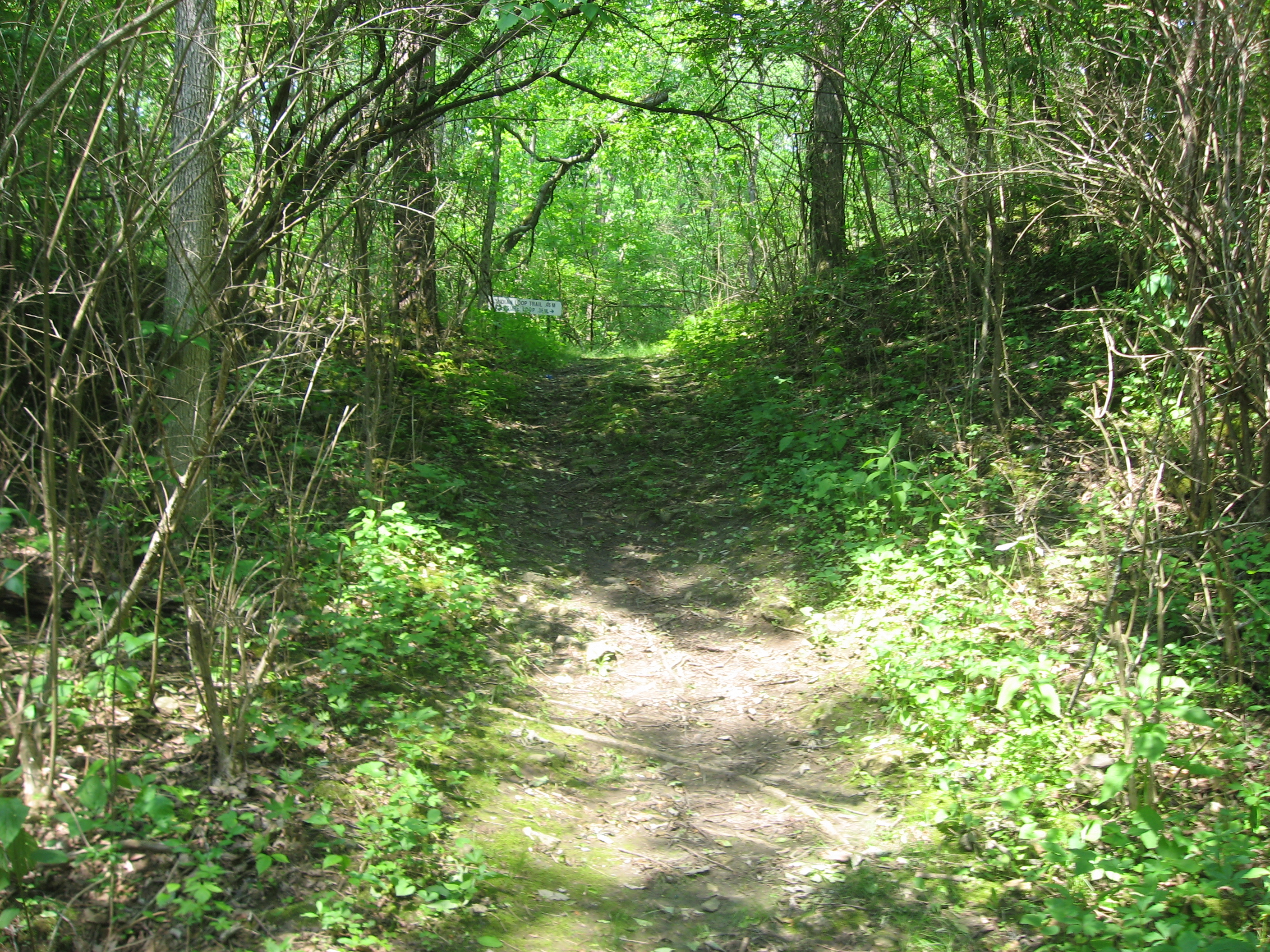
39°41′14″N 83°55′54″W / 39.687222°N 83.931667°WXenia 24 Old Chillicothe Site 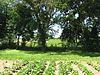
April 21, 1975 Along U.S. Route 68 north of Xenia
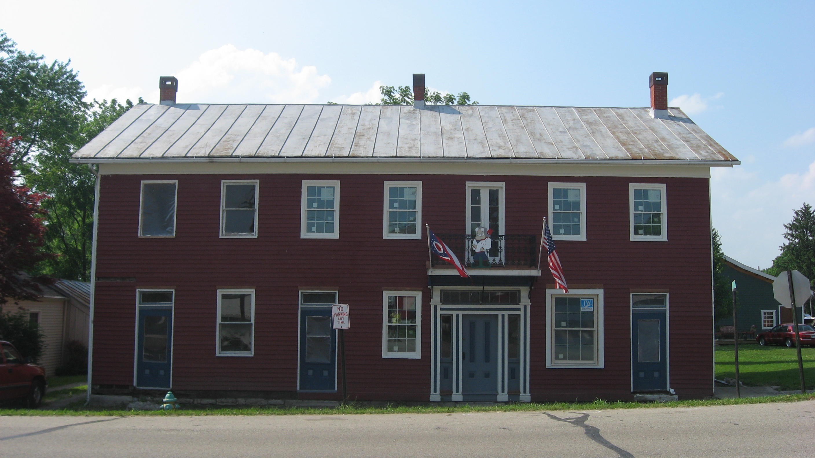
39°43′49″N 83°56′16″W / 39.73028°N 83.93778°W[5][6]Xenia Township 25 The Old Hotel 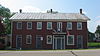
August 25, 1988 100-101½ W. Main St.
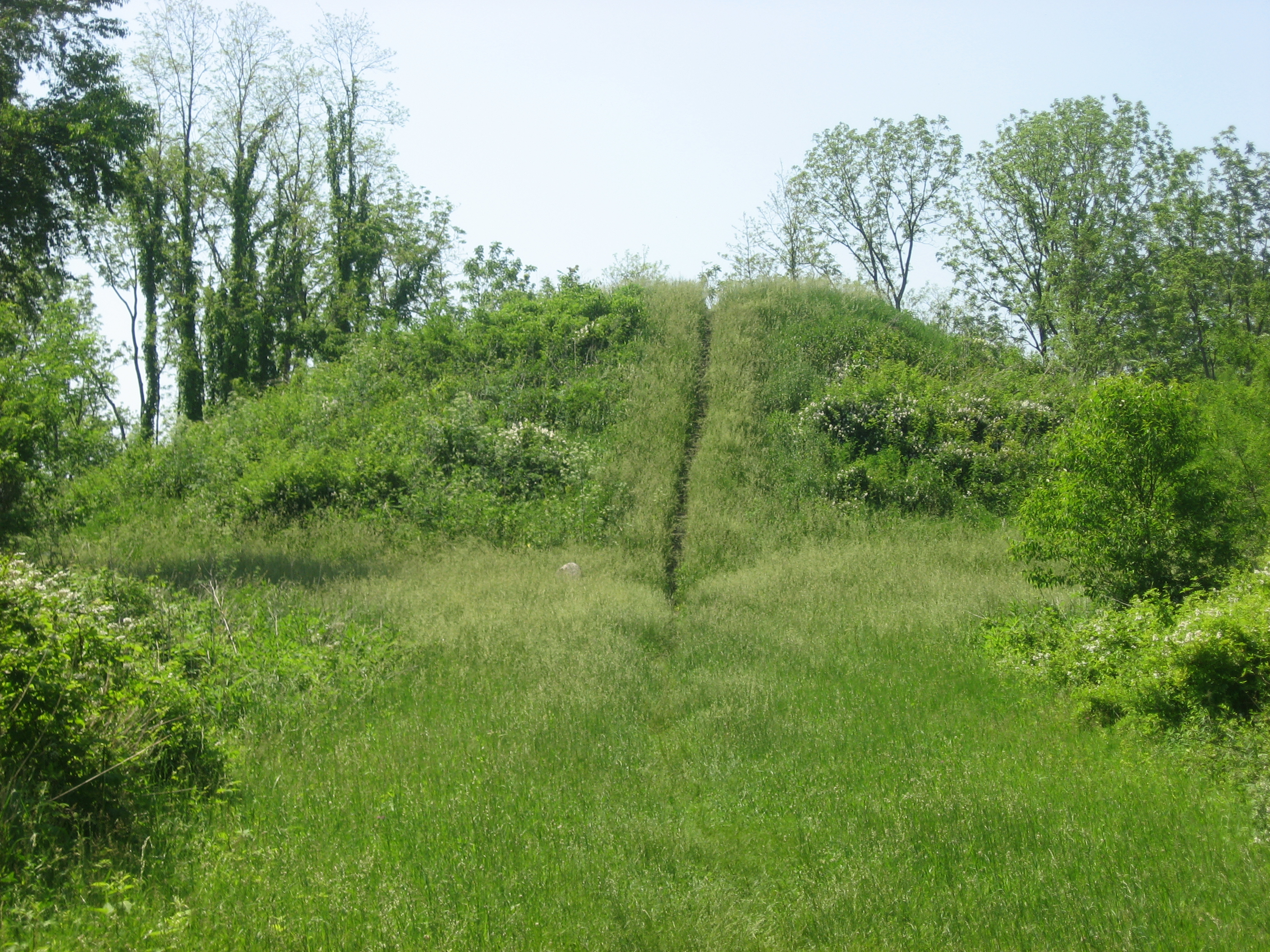
39°36′29″N 84°00′34″W / 39.608056°N 84.009444°WSpring Valley 26 Orators Mound 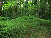
July 15, 1974 Near Yellow Spring, east of the village of Yellow Springs
39°48′16″N 83°52′55″W / 39.80444°N 83.88194°W[7]Miami Township 27 Samuel N. Patterson House 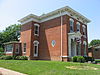
June 3, 1976 364 N. King St.
39°41′23″N 83°55′56″W / 39.689722°N 83.932222°WXenia 28 Pollock Works 
February 23, 1972 Along Massie's Creek, west of Cedarville
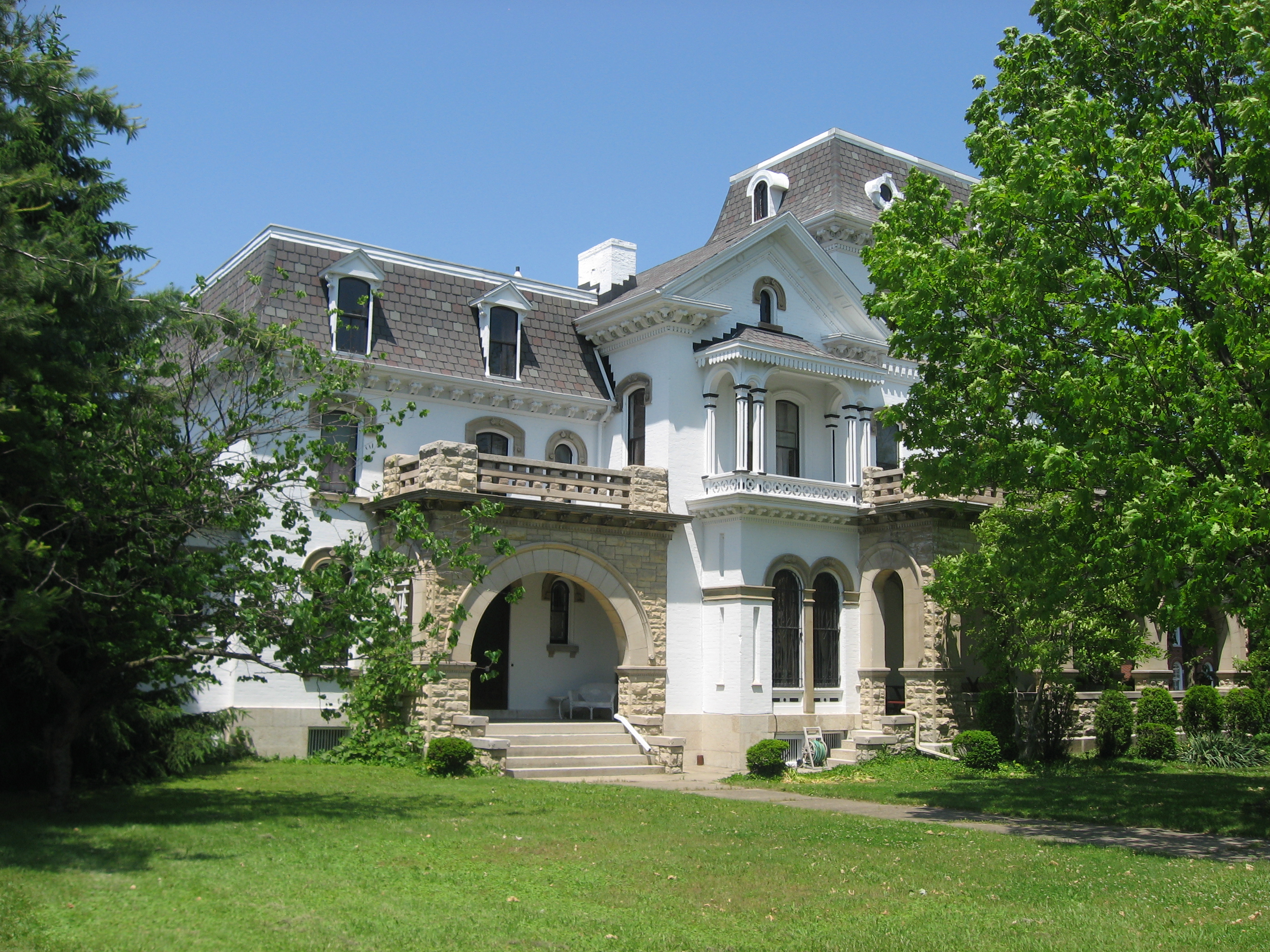
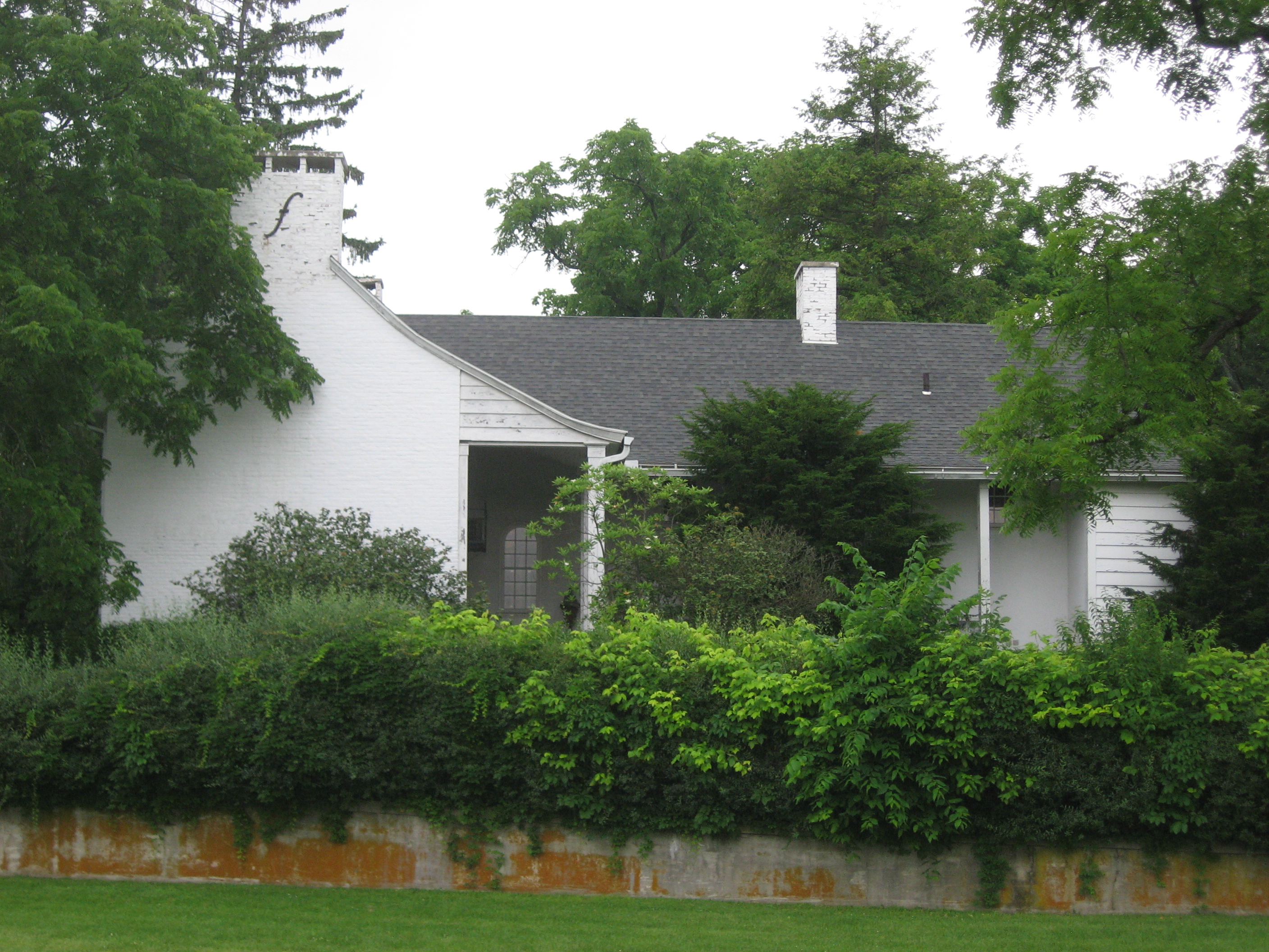
39°44′23″N 83°49′24″W / 39.73972°N 83.82333°W[5]Cedarville Township 29 Whitelaw Reid House 
May 7, 1973 Northwest of Cedarville at 2587 Conley Rd.
39°45′05″N 83°50′09″W / 39.751389°N 83.835833°WCedarville Township 30 South School 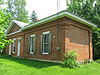
October 4, 1989 909 S. High St.
39°47′55″N 83°53′45″W / 39.798611°N 83.895833°WYellow Springs 31 Waterstreet Historic District 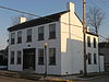
August 11, 1980 Roughly bounded by Shawnee Creek and S. Detroit, S. Church and W. 2nd Sts.
39°40′58″N 83°55′54″W / 39.682778°N 83.931667°WXenia 32 Whitehall Farm 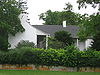
July 31, 1980 North of Yellow Springs off U.S. Route 68
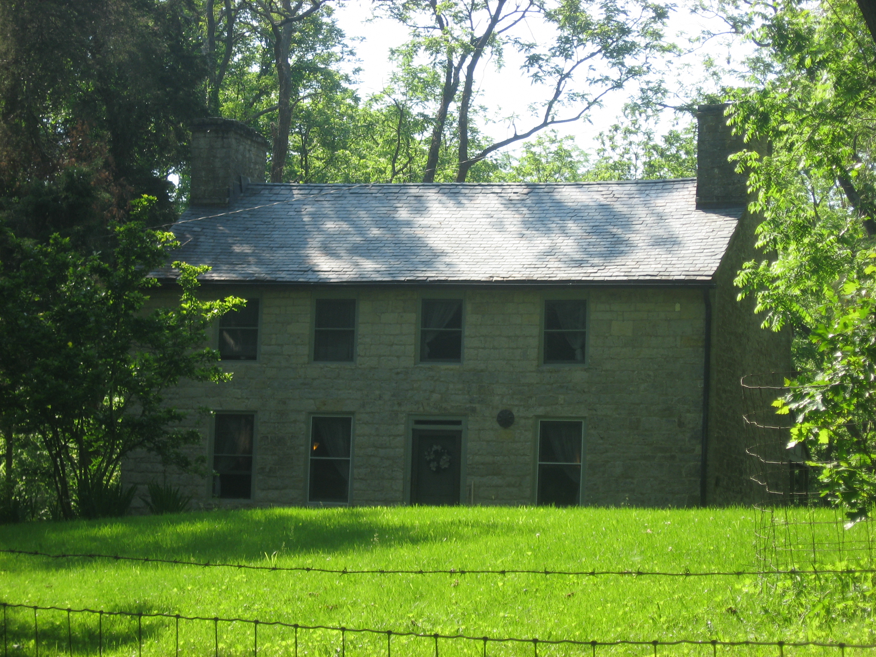
39°48′42″N 83°52′55″W / 39.811556°N 83.881889°WMiami Township 33 Benjamin Whiteman House 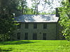
April 3, 1973 East of Clifton
39°47′45″N 83°49′01″W / 39.795833°N 83.816944°WCedarville Township 34 Williamson Mound State Memorial 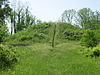
December 13, 1971 Off State Route 42, west of Cedarville
39°44′42″N 83°49′37″W / 39.745°N 83.826944°WCedarville Township 35 Wright Brothers Memorial Mound Group February 12, 1974 A short distance west of the Wright Brothers Memorial, west of Fairborn
39°47′40.52184″N 84°5′26.3544″W / 39.7945894°N 84.090654°W[8]Bath Township 36 Wright-Patterson Air Force Base Mound February 23, 1972 Located along P St., about 1 kilometre (3,300 ft) south of the Wright Brothers Memorial, west of Fairborn
39°47′12.3″N 84°5′4″W / 39.78675°N 84.08444°W[8]Bath Township 37 Yellow Springs Historic District 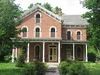
April 1, 1982 Roughly bounded by railroad tracks, Yellow Springs-Fairfield Rd., and High and Herman Sts.
39°48′10″N 83°53′22″W / 39.802778°N 83.889444°WYellow Springs 38 Col. Charles Young House 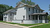
March 30, 1974 Columbus Pike between Clifton and Stevenson Rds., east of Xenia
39°42′26″N 83°53′25″W / 39.707222°N 83.890278°WXenia Township Former listings
[3] Landmark name Image Date listed Location City or town Summary 1 Homewood Cottage January 1, 1974 Brush Row Rd. in Wilberforce Xenia Township 2 William S. Scarborough House January 1, 1974 Brush Row Rd. in Wilberforce Xenia Township See also
References
- ^ The latitude and longitude information provided in this table was derived originally from the National Register Information System, which has been found to be fairly accurate for about 99% of listings. For about 1% of NRIS original coordinates, experience has shown that one or both coordinates are typos or otherwise extremely far off; some corrections may have been made. A more subtle problem causes many locations to be off by up to 150 yards, depending on location in the country: most NRIS coordinates were derived from tracing out latitude and longitudes off of USGS topographical quadrant maps created under the North American Datum of 1927, which differs from the current, highly accurate WGS84 GPS system used by Google maps. Chicago is about right, but NRIS longitudes in Washington are higher by about 4.5 seconds, and are lower by about 2.0 seconds in Maine. Latitudes differ by about 1.0 second in Florida. Some locations in this table may have been corrected to current GPS standards.
- ^ "National Register of Historic Places: Weekly List Actions". National Park Service, United States Department of the Interior. Retrieved on November 10, 2011.
- ^ a b Numbers represent an ordering by significant words. Various colorings, defined here, differentiate National Historic Landmark sites and National Register of Historic Places Districts from other NRHP buildings, structures, sites or objects.
- ^ "National Register Information System". National Register of Historic Places. National Park Service. . http://nrhp.focus.nps.gov/natreg/docs/All_Data.html.
- ^ a b Location derived from Mills, William C. Archeological Atlas of Ohio. Columbus: Ohio State Archeological and Historical Society, 1914, page 29 and plate 29. The NRIS lists the site as "Address Restricted".
- ^ Coordinates derived from its GNIS feature record
- ^ Location derived from Dills, R.S. History of Greene County, Ohio: Together with Historic Notes on the Northwest, and the State of Ohio. Dayton: Odell and Mayer, 1881, 673. The NRIS lists the site as "Address Restricted".
- ^ a b Location derived from this North American Database of Archaeological Geophysics website; the NRIS lists the site as "Address Restricted"
National Register of Historic Places in Ohio Lists by county Adams • Allen • Ashland • Ashtabula • Athens • Auglaize • Belmont • Brown • Butler • Carroll • Champaign • Clark • Clermont • Clinton • Columbiana • Coshocton • Crawford • Cuyahoga • Darke • Defiance • Delaware • Erie • Fairfield • Fayette • Franklin • Fulton • Gallia • Geauga • Greene • Guernsey • Hamilton • Hancock • Hardin • Harrison • Henry • Highland • Hocking • Holmes • Huron • Jackson • Jefferson • Knox • Lake • Lawrence • Licking • Logan • Lorain • Lucas • Madison • Mahoning • Marion • Medina • Meigs • Mercer • Miami • Monroe • Montgomery • Morgan • Morrow • Muskingum • Noble • Ottawa • Paulding • Perry • Pickaway • Pike • Portage • Preble • Putnam • Richland • Ross • Sandusky • Scioto • Seneca • Shelby • Stark • Summit • Trumbull • Tuscarawas • Union • Van Wert • Vinton • Warren • Washington • Wayne • Williams • Wood • Wyandot

Lists by city Other lists Municipalities and communities of Greene County, Ohio Cities Beavercreek | Bellbrook | Centerville‡ | Fairborn | Huber Heights‡ | Kettering‡ | Xenia

Villages Bowersville | Cedarville | Clifton‡ | Jamestown | Spring Valley | Yellow Springs
Townships Bath | Beavercreek | Caesarscreek | Cedarville | Jefferson | Miami | New Jasper | Ross | Silvercreek | Spring Valley | Sugarcreek | Xenia
CDPs Unincorporated
communitiesByron | Goes Station
Footnotes ‡This populated place also has portions in an adjacent county or counties
Categories:- National Register of Historic Places in Ohio by county
- Greene County, Ohio
-


Wikimedia Foundation. 2010.