- National Register of Historic Places listings in Columbiana County, Ohio
-
 Location of Columbiana County in Ohio
This is a list of the National Register of Historic Places listings in Columbiana County, Ohio.
This is intended to be a complete list of the properties and districts on the National Register of Historic Places in Columbiana County, Ohio, United States. The locations of National Register properties and districts for which the latitude and longitude coordinates are included below, may be seen in a Google map.[1]
There are 44 properties and districts listed on the National Register in the county, including 1 National Historic Landmark.
-
- This National Park Service list is complete through NPS recent listings posted November 10, 2011.[2]
Current listings
[3] Landmark name [4] Image Date listed Location City or town Summary 1 Beginning Point of the U.S. Public Land Survey 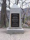
October 15, 1966 On the Ohio/Pennsylvania border, east of East Liverpool
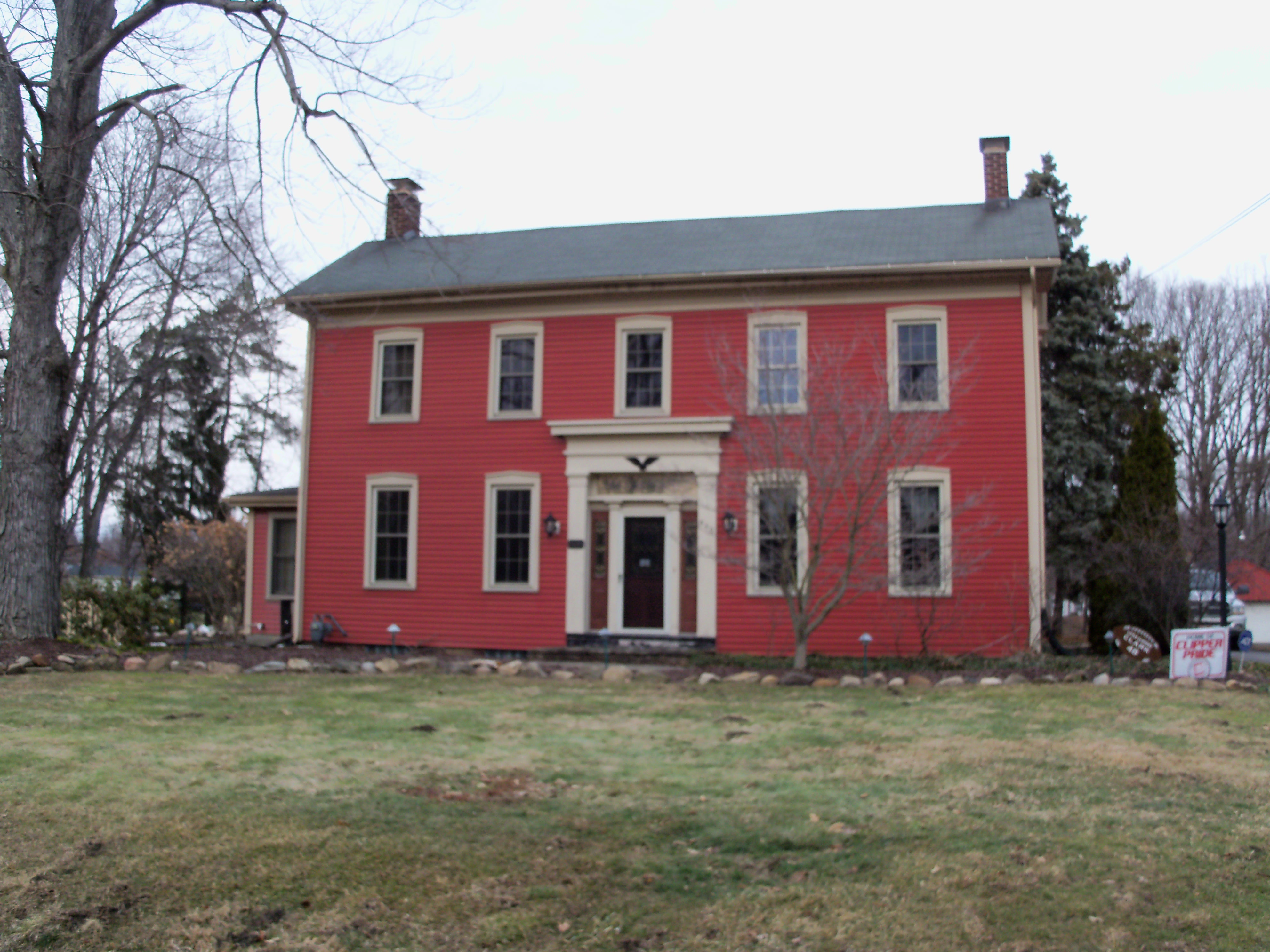
40°38′33″N 80°31′10″W / 40.6425°N 80.519444°WEast Liverpool Point from which the Public Land Survey System was performed, starting in 1785, which would open what was then the Northwest Territory for settlement.[5] 2 Hiram Bell Farmstead 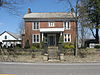
December 9, 1999 43628 State Route 517
40°49′00″N 80°40′34″W / 40.816667°N 80.676111°WFairfield Township 3 Burchfield Homestead March 23, 1999 867 E. 4th St.
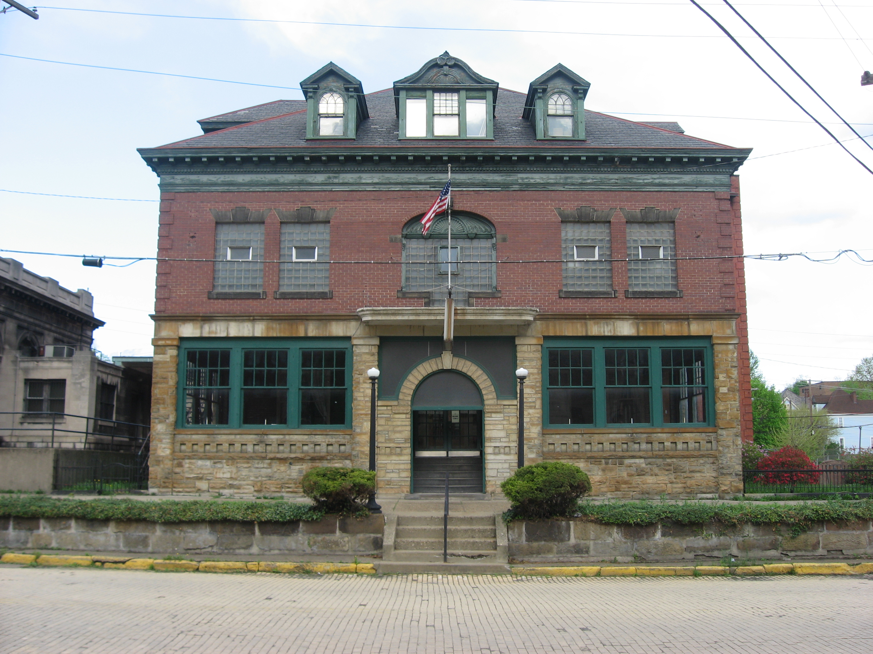
40°54′17″N 80°50′57″W / 40.904722°N 80.849167°WSalem Boyhood home of American watercolorist Charles E. Burchfield[6] 4 Carnegie Public Library 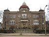
March 11, 1980 219 E. 4th St.
40°37′04″N 80°34′41″W / 40.617778°N 80.578056°WEast Liverpool 5 Richard L. Cawood Residence 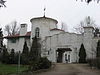
January 21, 1988 2600 St. Clair Ave.
40°38′38″N 80°34′23″W / 40.643889°N 80.573056°WEast Liverpool 6 Cherry Valley Coke Ovens 
May 6, 1993 Junction of Cherry Valley and Butcher Rds.
40°53′04″N 80°45′21″W / 40.884444°N 80.755833°WLeetonia 7 Church Hill Road Covered Bridge June 11, 1975 On dry ground at Elkton, off State Route 154
40°45′43″N 80°42′13″W / 40.761944°N 80.703611°WElkrun Township Relocated in 1963 when Church Hill Road was realigned[7] 8 City Hall 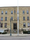
November 14, 1985 6th St.
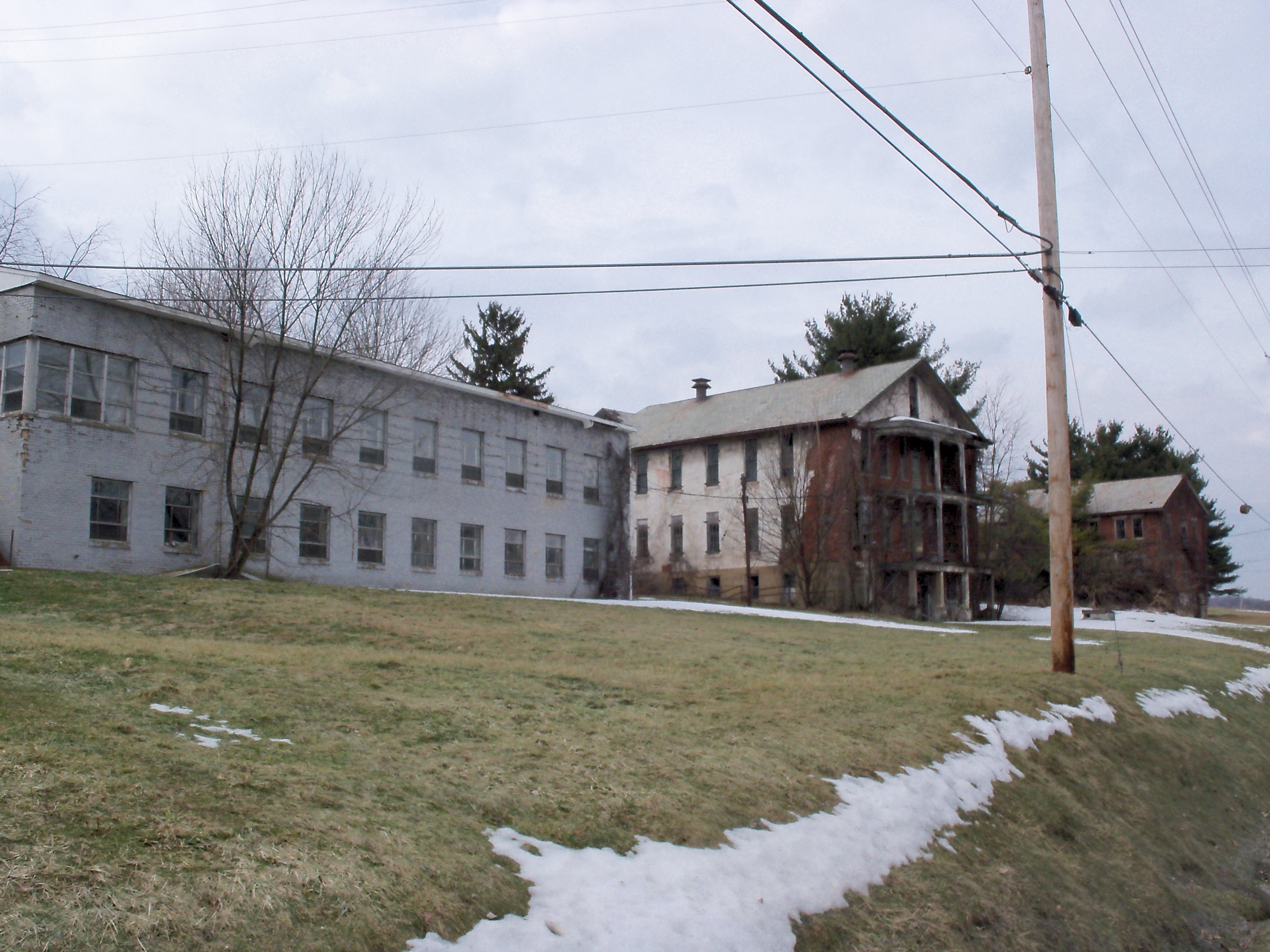
40°37′12″N 80°34′51″W / 40.62°N 80.580833°WEast Liverpool 9 Columbiana County Infirmary 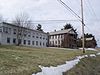
June 20, 1979 West of Lisbon on County Home Rd.
40°46′40″N 80°49′42″W / 40.777778°N 80.828333°WCenter Township 10 Diamond Historic District 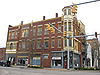
November 14, 1985 Market and E. 6th Sts.
40°37′13″N 80°34′47″W / 40.620278°N 80.579722°WEast Liverpool 11 East Fifth Street Historic District 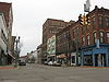
November 14, 1985 Along E. 5th St. between Market St. and Broadway
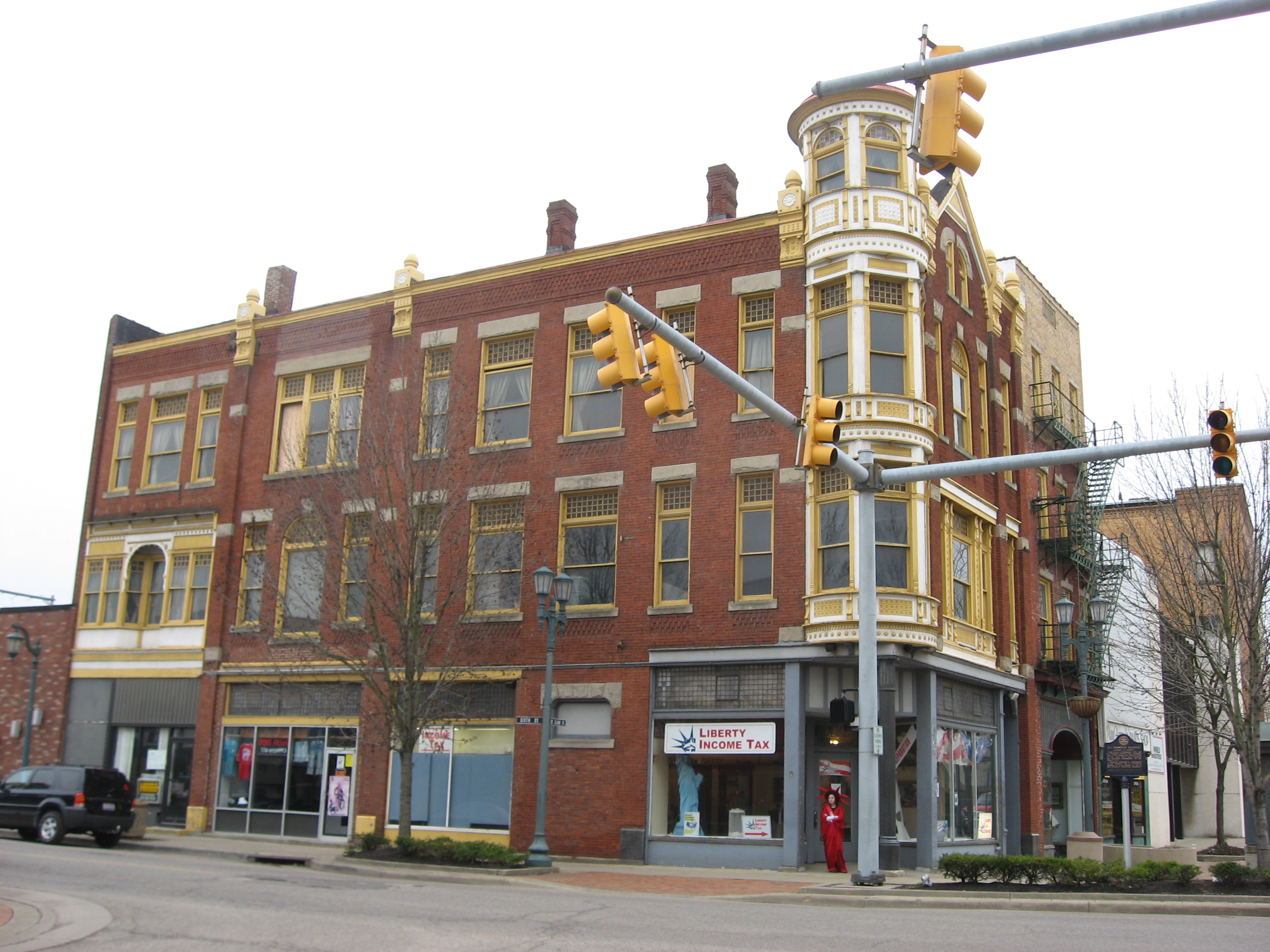
40°37′08″N 80°34′44″W / 40.618889°N 80.578889°WEast Liverpool 12 East Liverpool Downtown Historic District 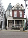
May 30, 2001 Roughly bounded by W. 6th St., Dresden Ave., Welch Ave., Broadway, Walnut St., E. 4th St., and East Alley
40°37′08″N 80°34′46″W / 40.618889°N 80.579444°WEast Liverpool 13 East Liverpool Post Office 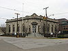
November 21, 1976 5th and Broadway Sts.
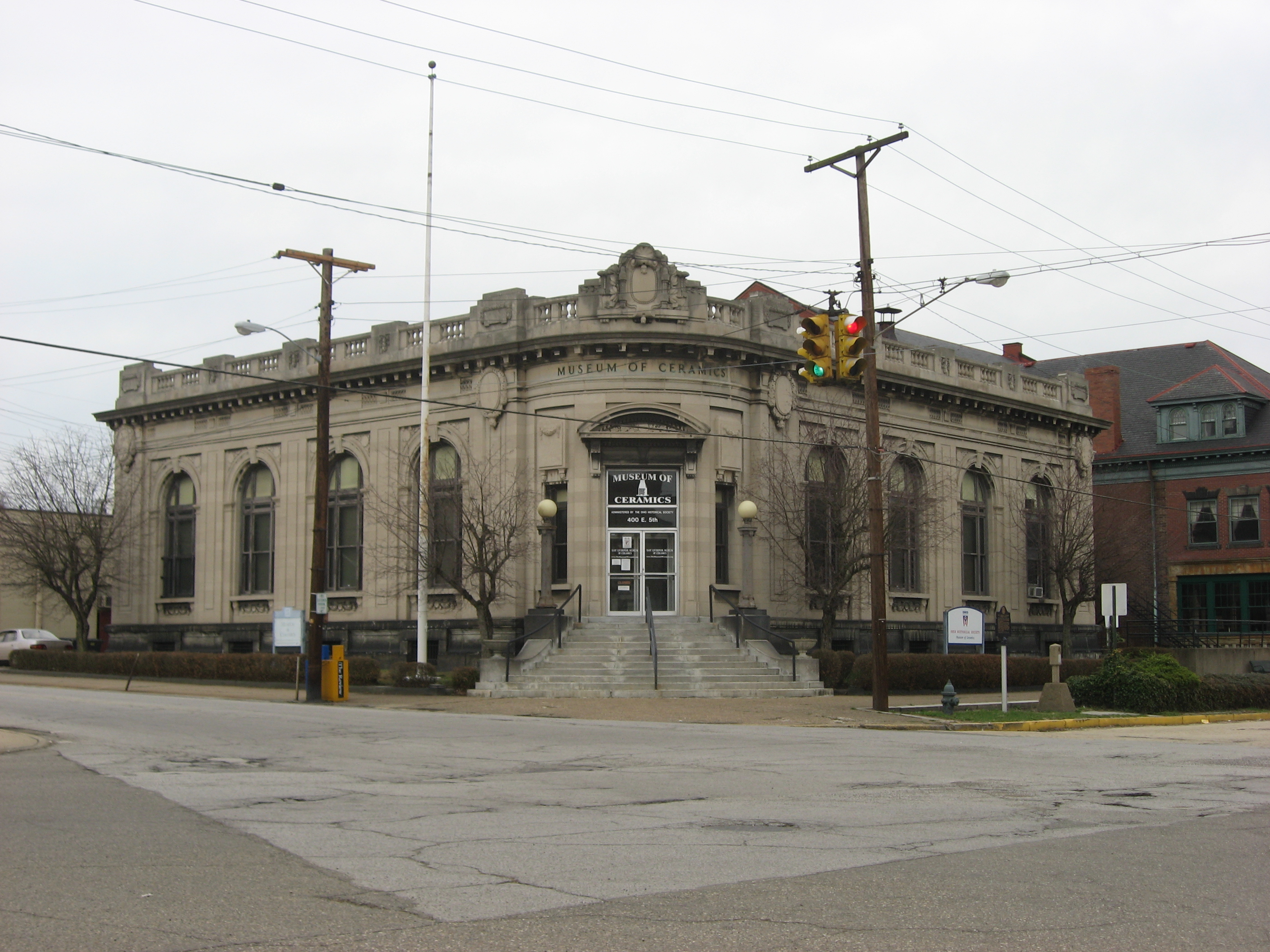
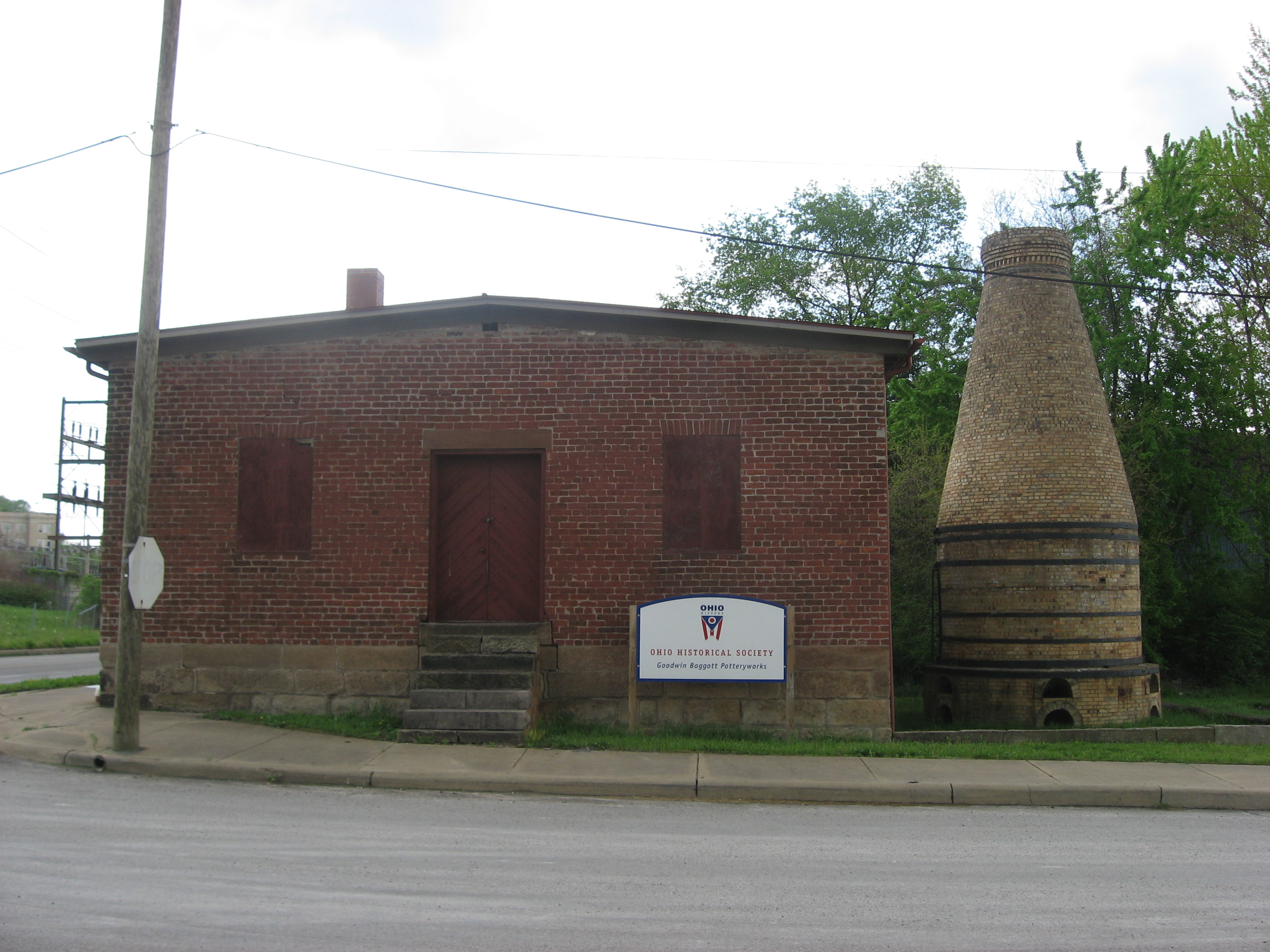
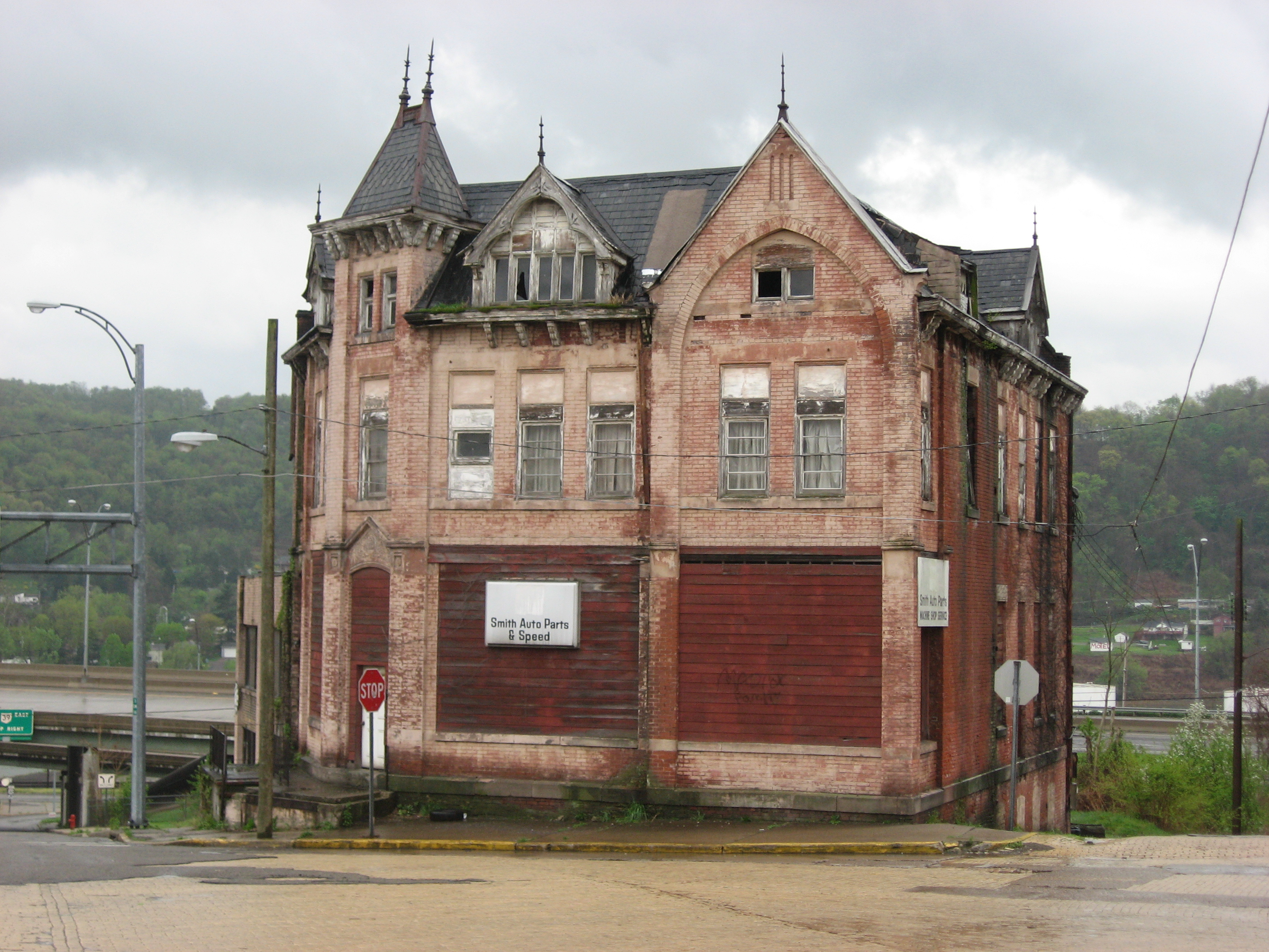
40°37′06″N 80°34′38″W / 40.618333°N 80.577222°WEast Liverpool 14 East Liverpool Pottery 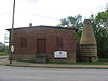
October 7, 1971 Southeastern corner of 2nd and Market Sts.
40°36′59″N 80°34′52″W / 40.616389°N 80.581111°WEast Liverpool 15 Nicholas Eckis House 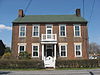
January 3, 1980 High St. in East Fairfield
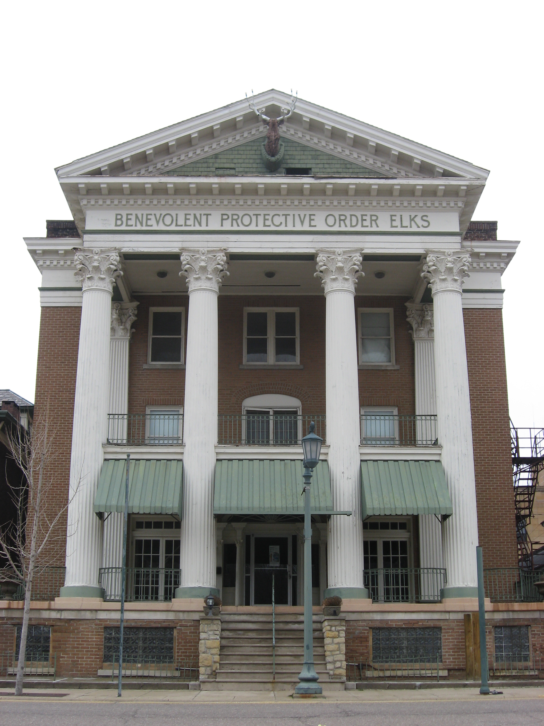
40°49′21″N 80°38′09″W / 40.8225°N 80.635833°WFairfield Township 16 Elks Club 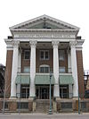
November 14, 1985 139 W. 5th St.
40°37′11″N 80°34′54″W / 40.619722°N 80.581667°WEast Liverpool 17 Episcopal Church of the Ascension and Manse 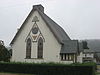
May 15, 1986 1101 and 1109 11th St.
40°36′07″N 80°39′03″W / 40.601944°N 80.650833°WWellsville 18 Gaston's Mill-Lock No. 36, Sandy and Beaver Canal District 
May 23, 1974 About 1 mi (1.6 km) south of Clarkson in Beaver Creek State Forest
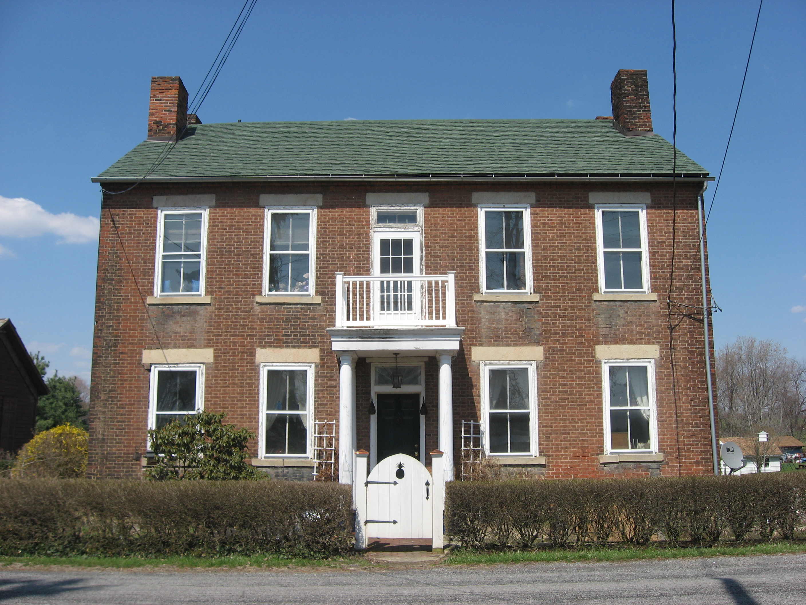
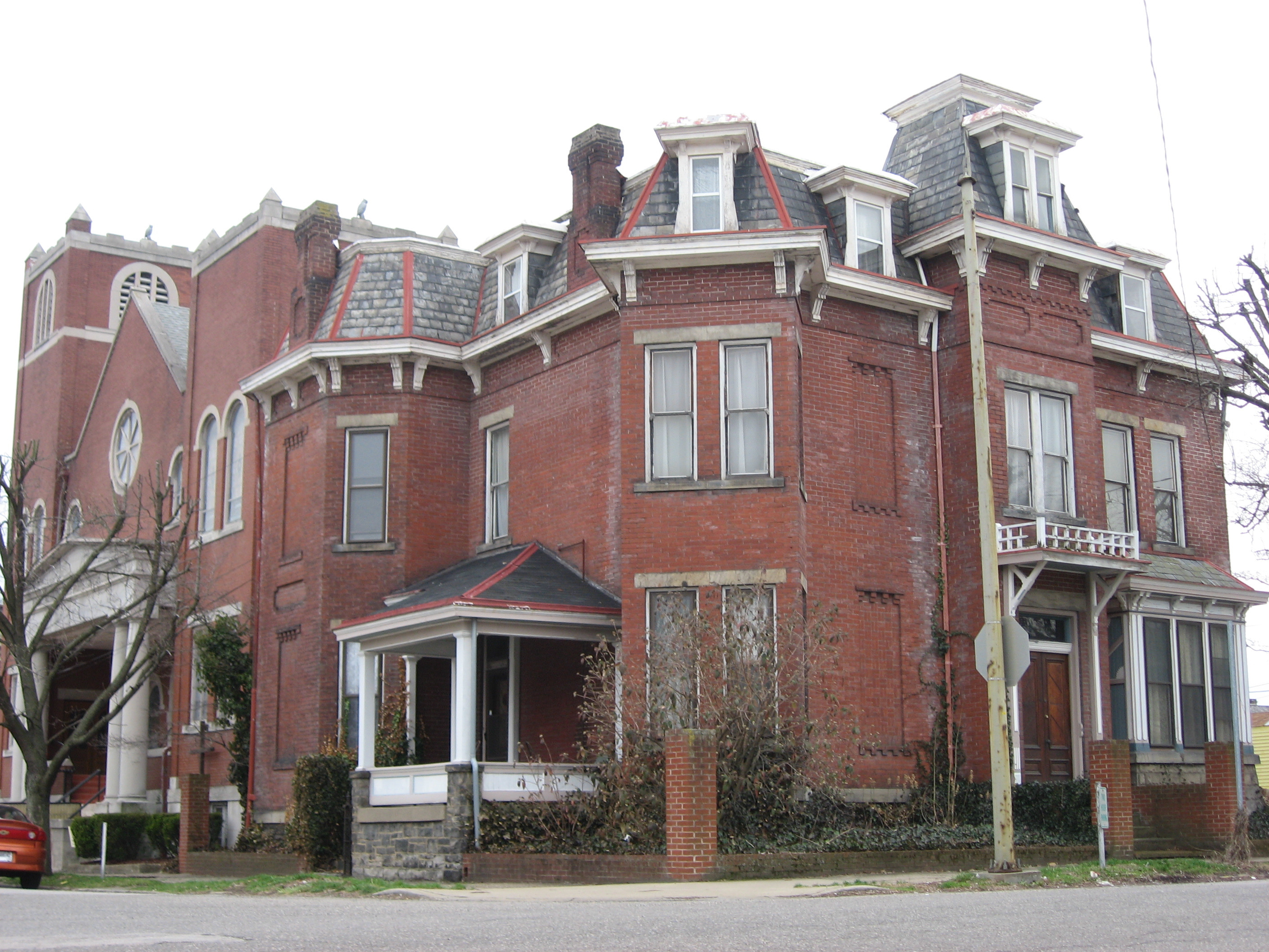
40°43′39″N 80°36′46″W / 40.7275°N 80.612778°WMiddleton Township Water-powered mill constructed in 1837 powered by Little Beaver Creek.Lock 36 was one of 90 locks on the Sandy and Beaver Canal. Both renovated. 19 Godwin-Knowles House 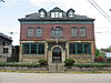
November 14, 1985 422 Broadway
40°37′03″N 80°34′38″W / 40.6175°N 80.577222°WEast Liverpool A mansion built in 1890 and later converted into the local Masonic temple 20 Hanna-Kenty House 
November 21, 2001 251 E. High St.
40°46′28″N 80°45′55″W / 40.774444°N 80.76541°WLisbon 21 Hanoverton Canal Town District 
August 3, 1977 U.S. Route 30
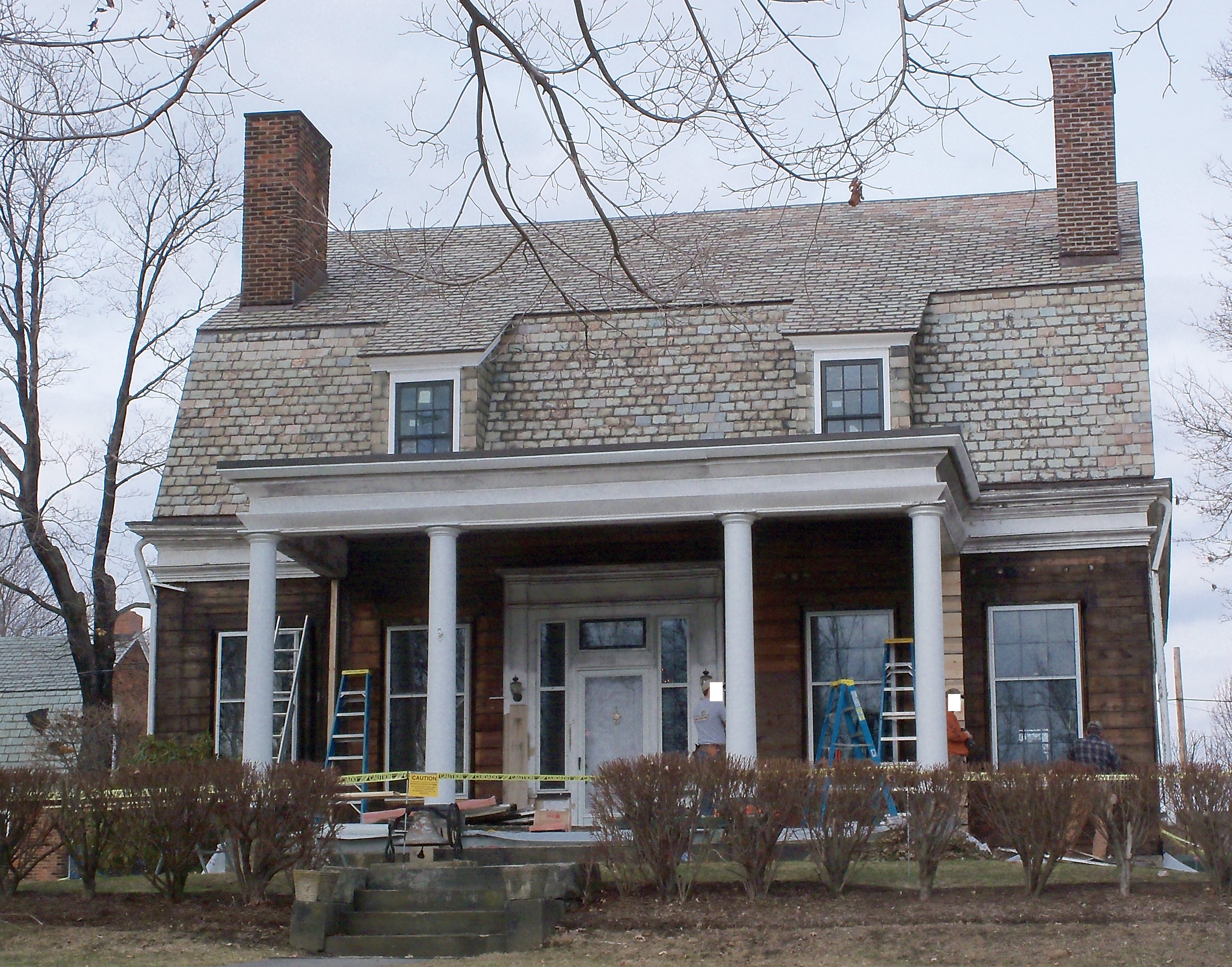
40°45′09″N 80°56′08″W / 40.7525°N 80.935556°WHanoverton 22 Franklin Harris Farmstead 
November 24, 1997 3525 Depot Rd. south of Salem
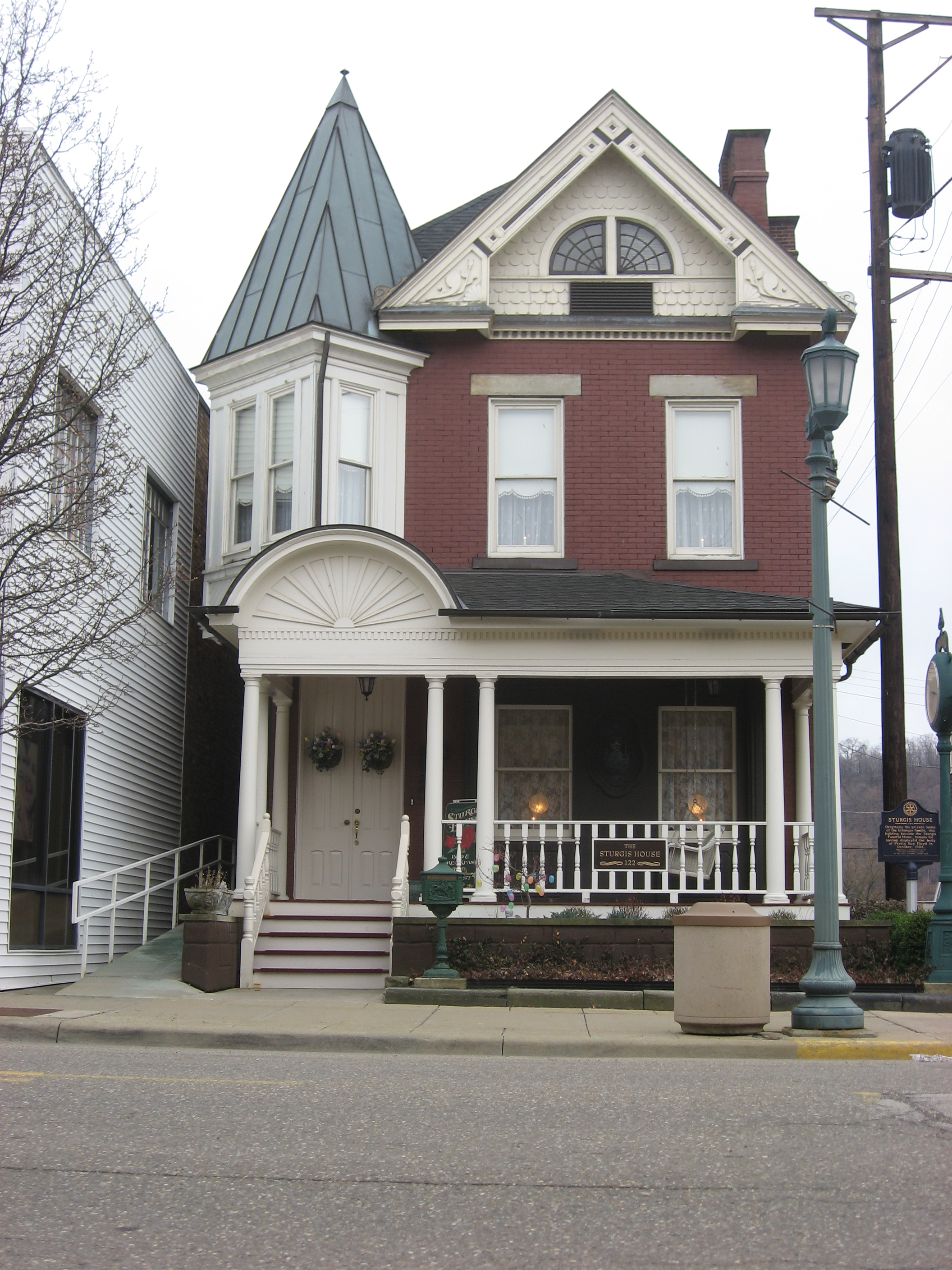
40°50′57″N 80°51′29″W / 40.849167°N 80.858056°WButler Township 23 Daniel Howell Hise House 
March 25, 1999 1100 Franklin Ave.
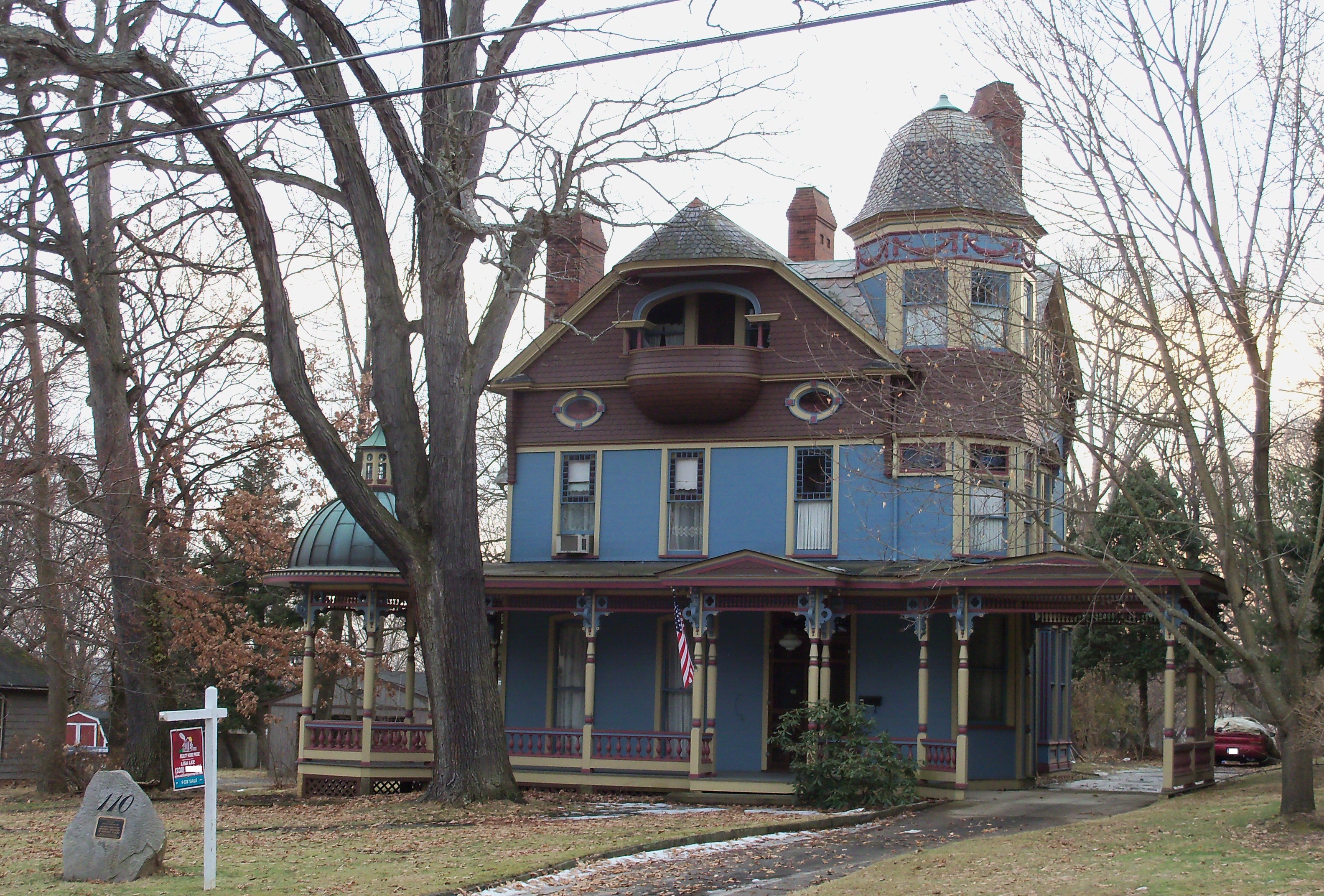
40°53′32″N 80°50′32″W / 40.892222°N 80.842222°WSalem Home of local abolitionist Daniel Howell Hise 24 Hostetter Inn 
September 27, 1980 Northwest of Lisbon at 32901 State Route 172
40°47′34″N 80°52′50″W / 40.792778°N 80.880556°WHanover Township 25 Ikirt House 
May 29, 1980 200 6th St.
40°37′14″N 80°34′54″W / 40.620556°N 80.581667°WEast Liverpool 26 Jones-Bowman House 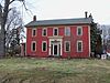
December 12, 1976 540 Pittsburgh St.
40°52′56″N 80°41′08″W / 40.882222°N 80.685556°WColumbiana 27 Homer Laughlin House 
November 14, 1985 414 Broadway
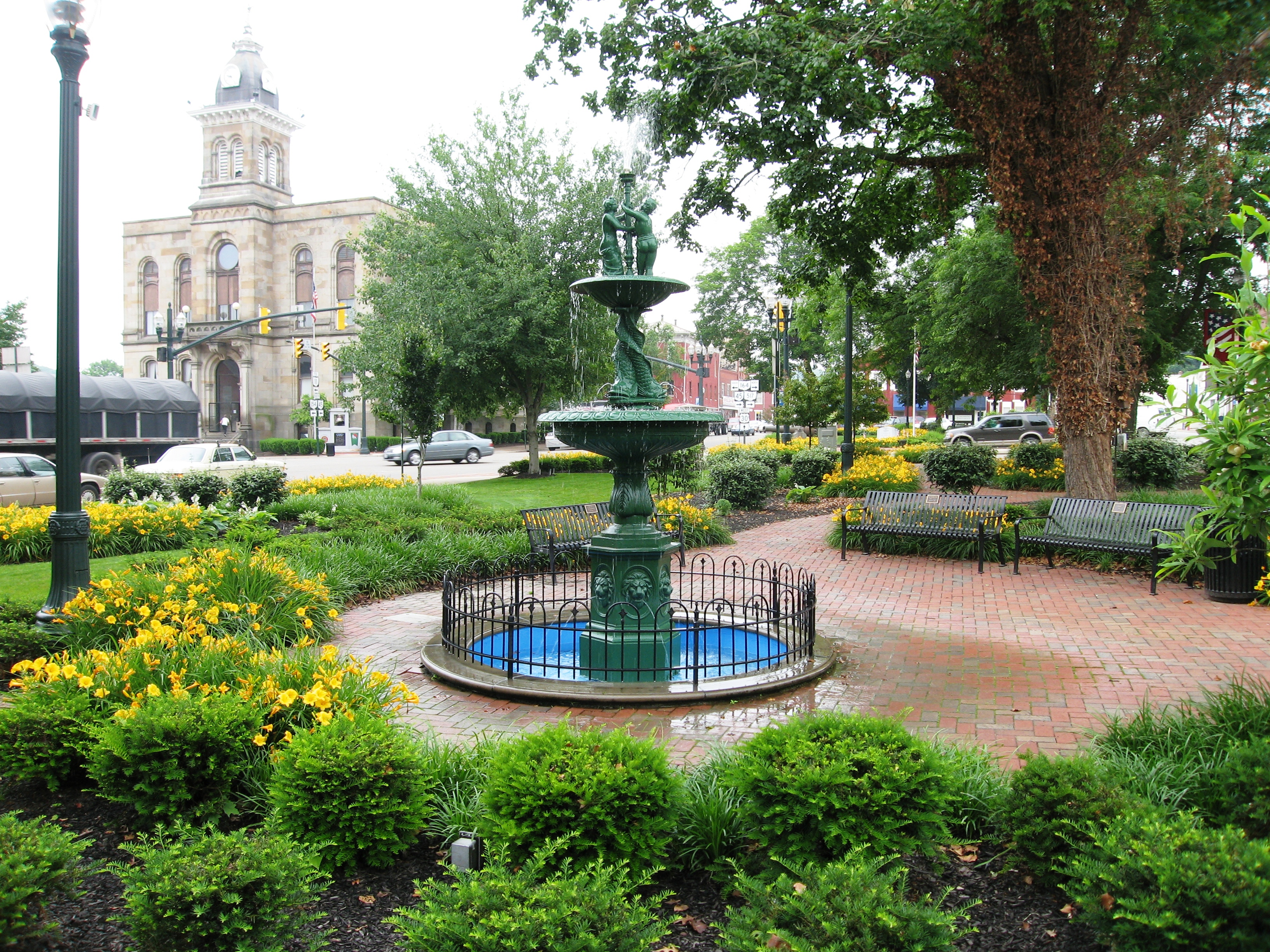
40°37′03″N 80°34′38″W / 40.6175°N 80.577222°WEast Liverpool Destroyed 28 Lisbon Historic District 
August 24, 1979 U.S. Route 30 and State Route 45
40°46′23″N 80°45′59″W / 40.773056°N 80.766389°WLisbon 29 Daniel McBean Farmstead January 12, 2005 18709 Fife Coal Rd. northwest of Wellsville
40°37′48″N 80°42′35″W / 40.63°N 80.709722°WYellow Creek Township 30 Middle Sandy Presbyterian Church 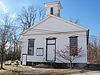
May 13, 1994 Homeworth Rd. in Homeworth
40°50′16″N 81°04′10″W / 40.837778°N 81.069444°WKnox Township 31 John H. Morgan Surrender Site 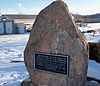
April 23, 1973 3.1 mi (5.0 km) west of West Point on State Route 518
40°41′50″N 80°44′38″W / 40.697222°N 80.743889°WWayne Township 32 Odd Fellows Temple 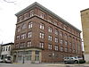
November 14, 1985 120 W. 6th St.
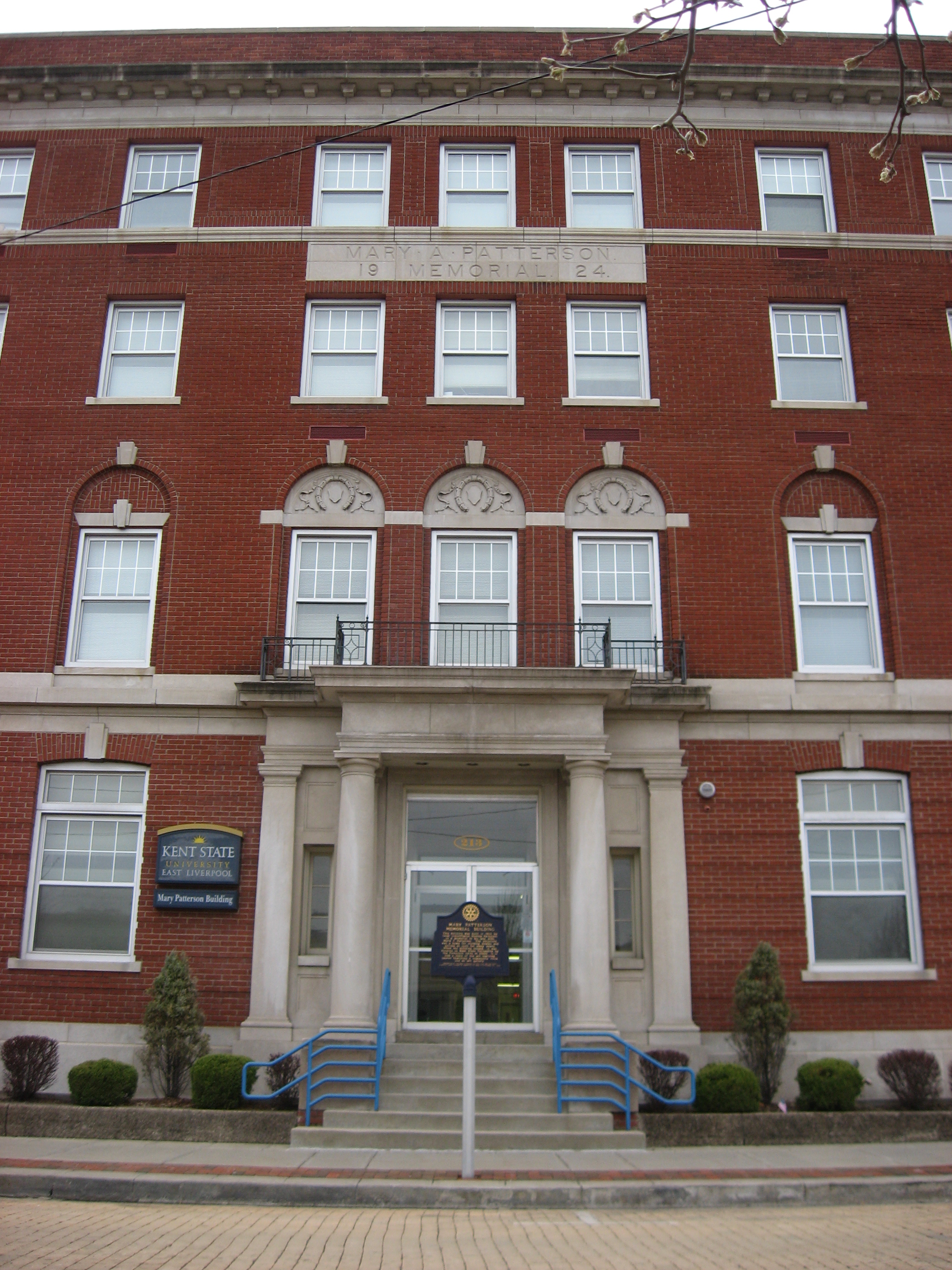
40°37′16″N 80°34′50″W / 40.621111°N 80.580556°WEast Liverpool 33 Mary A. Patterson Memorial 
November 14, 1985 E. 4th St.
40°37′03″N 80°34′42″W / 40.6175°N 80.578333°WEast Liverpool 34 Potters National Bank 
November 14, 1985 Broadway and 4th St.
40°37′01″N 80°34′40″W / 40.616944°N 80.577778°WEast Liverpool Demolished on 16 November 2010[8] 35 Potters Savings and Loan 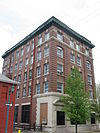
November 14, 1985 Washington and Broadway
40°37′08″N 80°34′41″W / 40.618889°N 80.578056°WEast Liverpool 36 Salem Downtown Historic District December 7, 1995 Roughly bounded by Vine Ave., Ohio Ave., E. Pershing St., S. Ellsworth Ave. and Sugar Tree Alley
40°53′59″N 80°49′34″W / 40.899722°N 80.826111°WSalem 37 Salem Methodist Episcopal Church 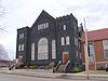
March 9, 1995 244 S. Broadway
40°53′56″N 80°51′19″W / 40.898889°N 80.855278°WSalem 38 Charles Nelson Schmick House 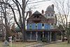
March 21, 1991 110 Walnut St.
40°52′47″N 80°45′36″W / 40.879722°N 80.76°WLeetonia 39 South Lincoln Avenue Historic District 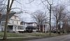
August 26, 1993 S. Lincoln Ave., roughly between Pershing and Summit Sts.
40°53′42″N 80°50′59″W / 40.895°N 80.849722°WSalem 40 John Street House 
October 10, 1973 631 N. Ellsworth Ave.
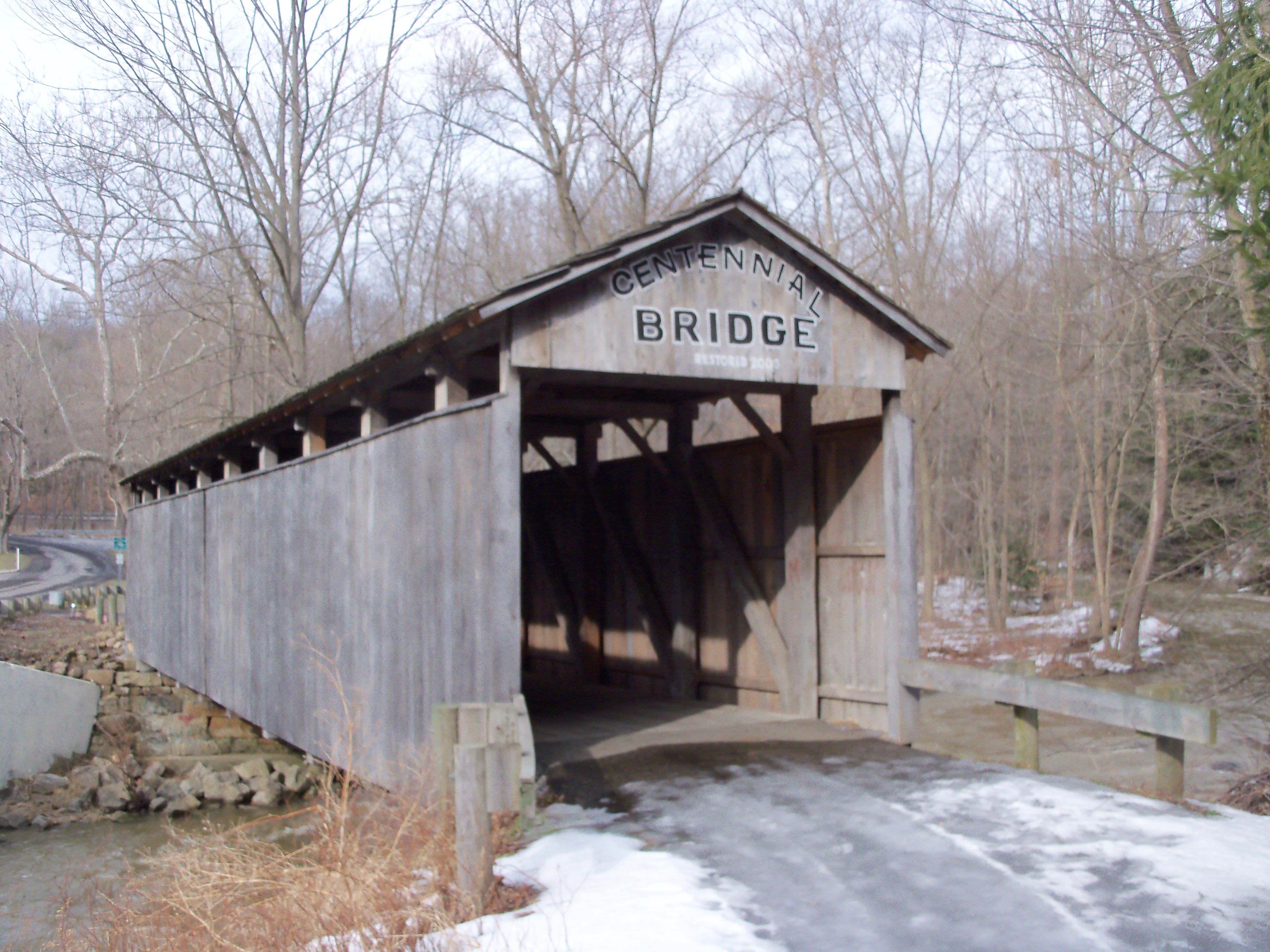
40°54′17″N 80°51′26″W / 40.904722°N 80.857222°WSalem Underground Railroad stop and home of son of city founder 41 Teegarden-Centennial Covered Bridge 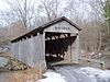
August 10, 2000 Eagleton Rd. (Township Road 761), 0.1 mi (0.16 km) east of County Road 411, south of Salem
40°49′18″N 80°49′38″W / 40.821667°N 80.827222°WSalem Township 42 Cassius Clark Thompson House 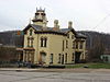
September 28, 1971 305 Walnut St.
40°36′59″N 80°34′34″W / 40.616389°N 80.576111°WEast Liverpool 43 Travelers Hotel 
July 15, 1986 115 E. 4th St.
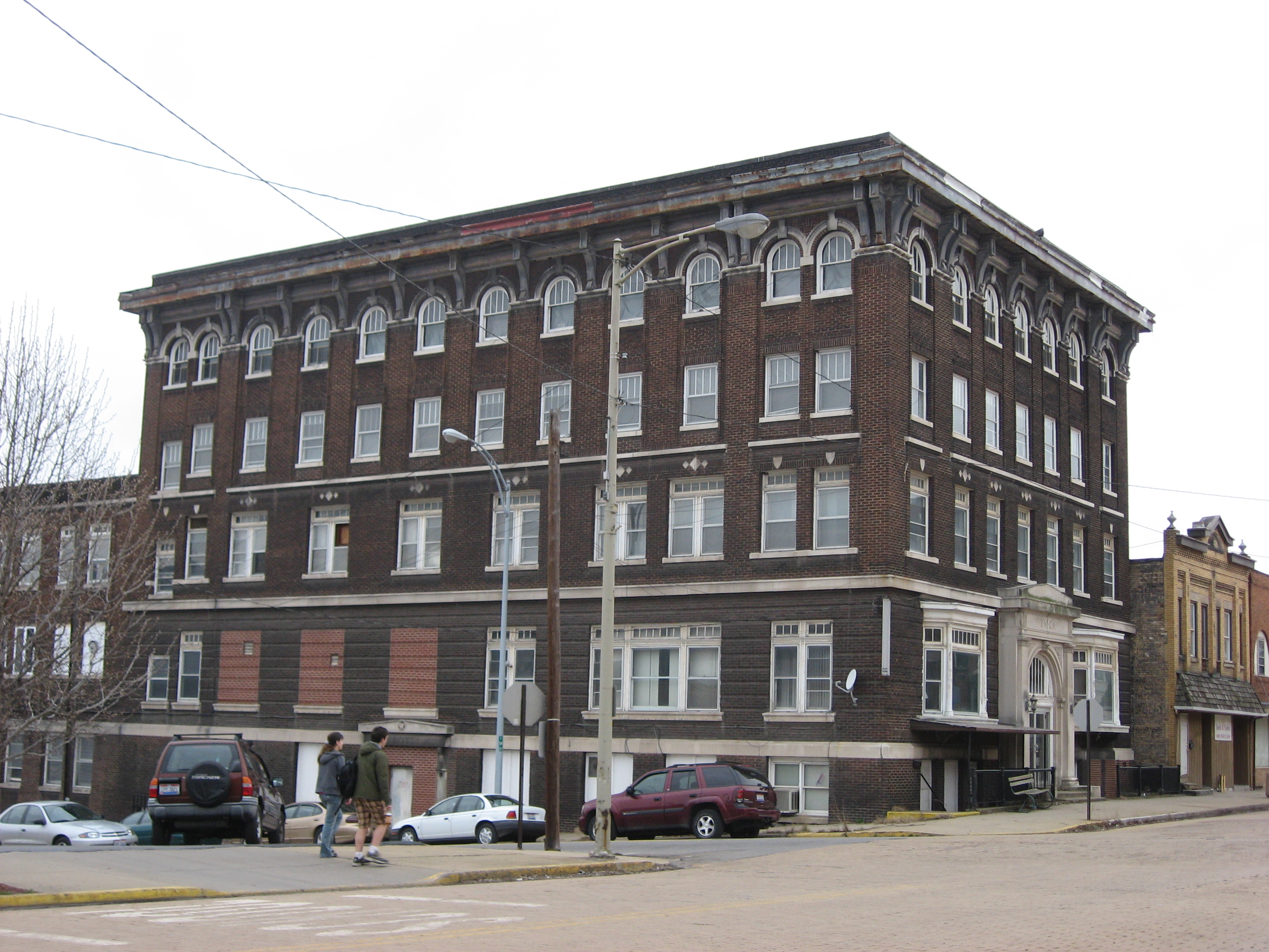
40°37′05″N 80°34′48″W / 40.618056°N 80.58°WEast Liverpool 44 YMCA 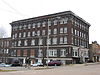
November 14, 1985 Washington and 4th Sts.
40°37′04″N 80°34′45″W / 40.617778°N 80.579167°WEast Liverpool See also
References
- ^ The latitude and longitude information provided in this table was derived originally from the National Register Information System, which has been found to be fairly accurate for about 99% of listings. For about 1% of NRIS original coordinates, experience has shown that one or both coordinates are typos or otherwise extremely far off; some corrections may have been made. A more subtle problem causes many locations to be off by up to 150 yards, depending on location in the country: most NRIS coordinates were derived from tracing out latitude and longitudes off of USGS topographical quadrant maps created under the North American Datum of 1927, which differs from the current, highly accurate WGS84 GPS system used by Google maps. Chicago is about right, but NRIS longitudes in Washington are higher by about 4.5 seconds, and are lower by about 2.0 seconds in Maine. Latitudes differ by about 1.0 second in Florida. Some locations in this table may have been corrected to current GPS standards.
- ^ "National Register of Historic Places: Weekly List Actions". National Park Service, United States Department of the Interior. Retrieved on November 10, 2011.
- ^ Numbers represent an ordering by significant words. Various colorings, defined here, differentiate National Historic Landmark sites and National Register of Historic Places Districts from other NRHP buildings, structures, sites or objects.
- ^ "National Register Information System". National Register of Historic Places. National Park Service. . http://nrhp.focus.nps.gov/natreg/docs/All_Data.html.
- ^ Joseph S. Mendinghall (December 27, 1974). National Register of Historic Places Inventory-Nomination: Beginning Point / Beginning Point of the U.S. Public Land SurveyPDF (511 KB). National Park Service.
- ^ http://www.burchfieldhomestead.com/
- ^ Moore, Elma Lee. Ohio's Covered Bridges. Charleston: Arcadia, 2010, 35.
- ^ McElwain, Michael D. What Once Was, East Liverpool Review, 2010-11-21. Accessed 2010-12-19.
National Register of Historic Places in Ohio Lists by county Adams • Allen • Ashland • Ashtabula • Athens • Auglaize • Belmont • Brown • Butler • Carroll • Champaign • Clark • Clermont • Clinton • Columbiana • Coshocton • Crawford • Cuyahoga • Darke • Defiance • Delaware • Erie • Fairfield • Fayette • Franklin • Fulton • Gallia • Geauga • Greene • Guernsey • Hamilton • Hancock • Hardin • Harrison • Henry • Highland • Hocking • Holmes • Huron • Jackson • Jefferson • Knox • Lake • Lawrence • Licking • Logan • Lorain • Lucas • Madison • Mahoning • Marion • Medina • Meigs • Mercer • Miami • Monroe • Montgomery • Morgan • Morrow • Muskingum • Noble • Ottawa • Paulding • Perry • Pickaway • Pike • Portage • Preble • Putnam • Richland • Ross • Sandusky • Scioto • Seneca • Shelby • Stark • Summit • Trumbull • Tuscarawas • Union • Van Wert • Vinton • Warren • Washington • Wayne • Williams • Wood • Wyandot

Lists by city Other lists Municipalities and communities of Columbiana County, Ohio Cities Columbiana‡ | East Liverpool | East Palestine | Salem‡

Villages Hanoverton | Leetonia | Lisbon | Minerva‡ | New Waterford | Rogers | Salineville | Summitville | Washingtonville‡ | Wellsville
Townships CDPs Unincorporated
communitiesClarkson | Damascus‡ | East Rochester | Elkton | Fredericktown | Homeworth | Kensington | Negley | North Georgetown | West Point | Winona
Footnotes ‡This populated place also has portions in an adjacent county or counties
Categories:- National Register of Historic Places in Ohio by county
- Columbiana County, Ohio
-


Wikimedia Foundation. 2010.