- National Register of Historic Places listings in Richland County, Ohio
-
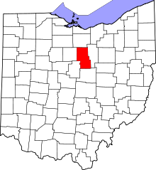 Location of Richland County in Ohio
This is a list of the National Register of Historic Places listings in Richland County, Ohio.
This is intended to be a complete list of the properties and districts on the National Register of Historic Places in Richland County, Ohio, United States. The locations of National Register properties and districts for which the latitude and longitude coordinates are included below, may be seen in a Google map.[1]
There are 65 properties and districts listed on the National Register in the county.
-
- This National Park Service list is complete through NPS recent listings posted November 10, 2011.[2]
Current listings
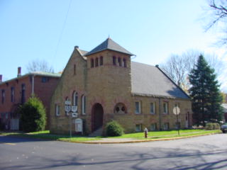
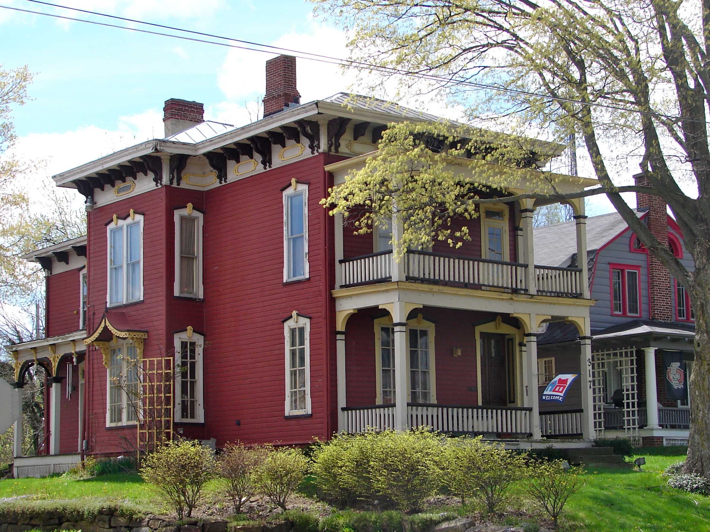
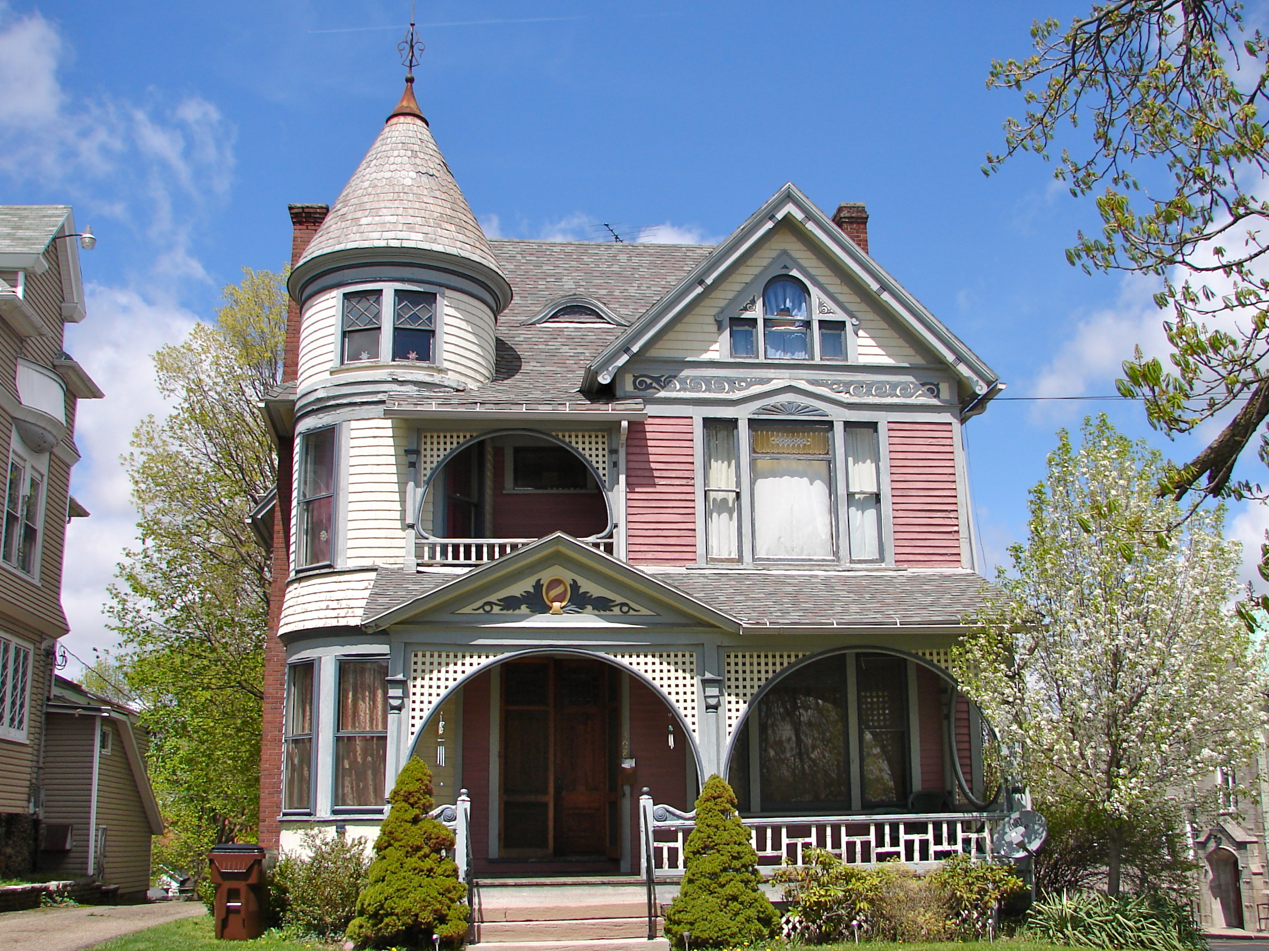
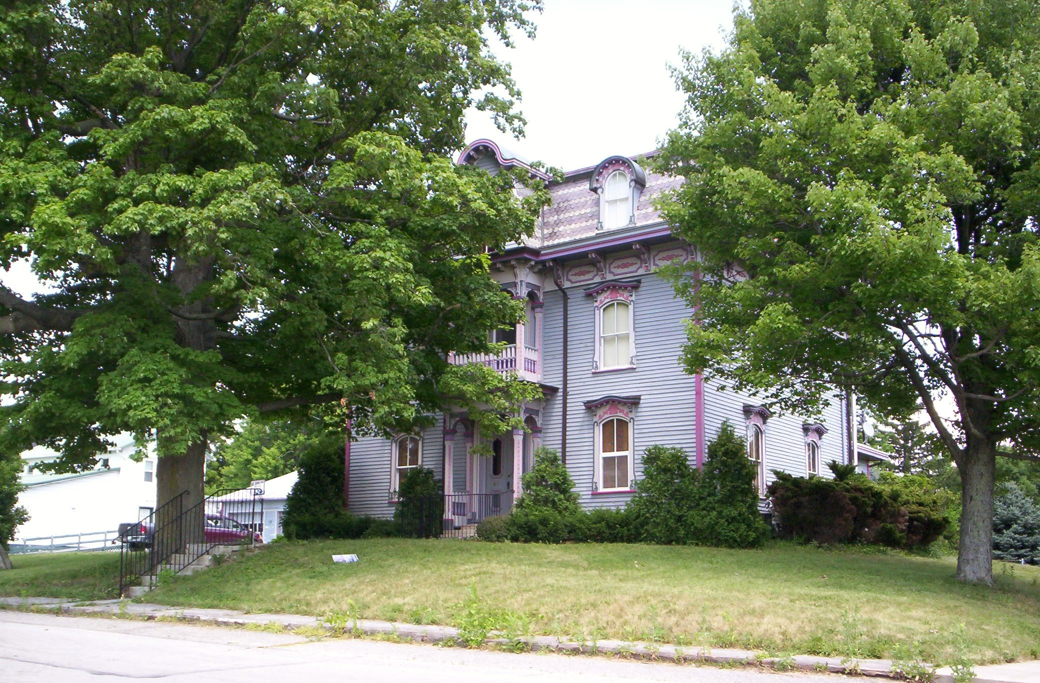
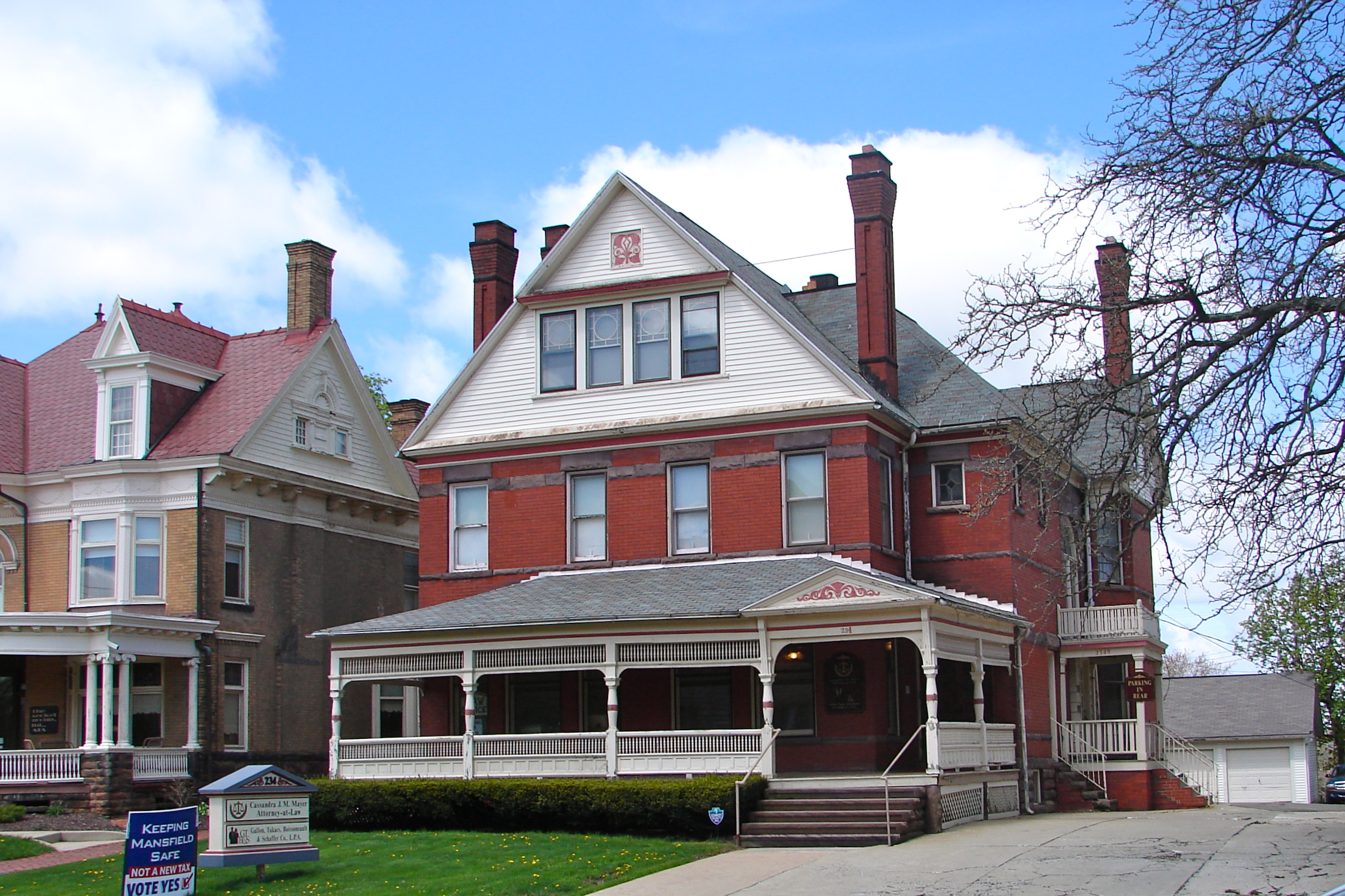
[3] Landmark name [4] Image Date listed Location City or town Summary 1 All Souls Unitarian-Universalist Church 
January 1, 1976 125 Church St.
40°37′11″N 82°30′45″W / 40.619722°N 82.5125°WBellville 1894, Richardsonian Romanesque, still in use 2 Jacob H. Barr House 
July 8, 1983 646 Park Ave., W.
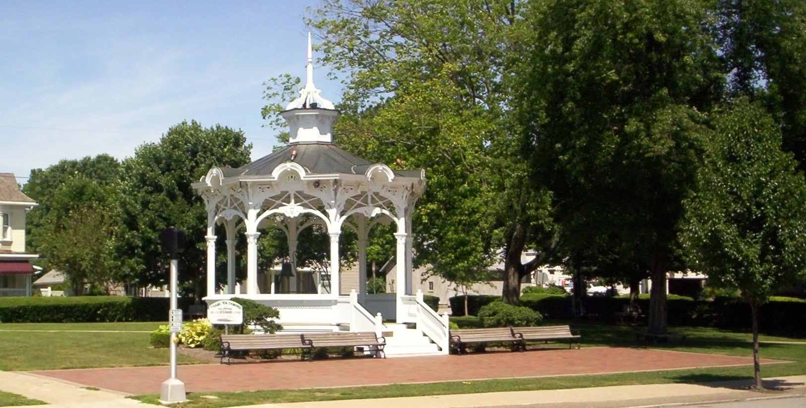
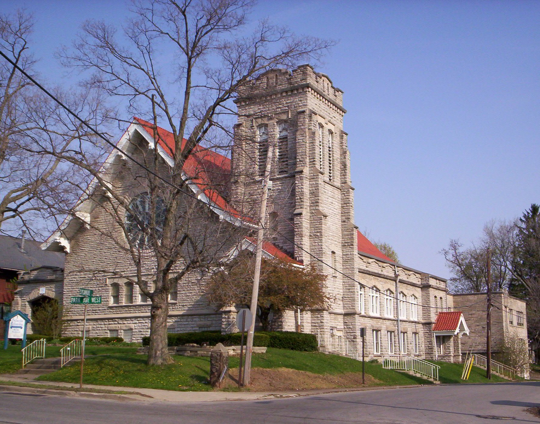
40°45′34″N 82°32′20″W / 40.759444°N 82.538889°WMansfield 3 Bellville Bandstand 
November 26, 1973 North Bellville Municipal Park
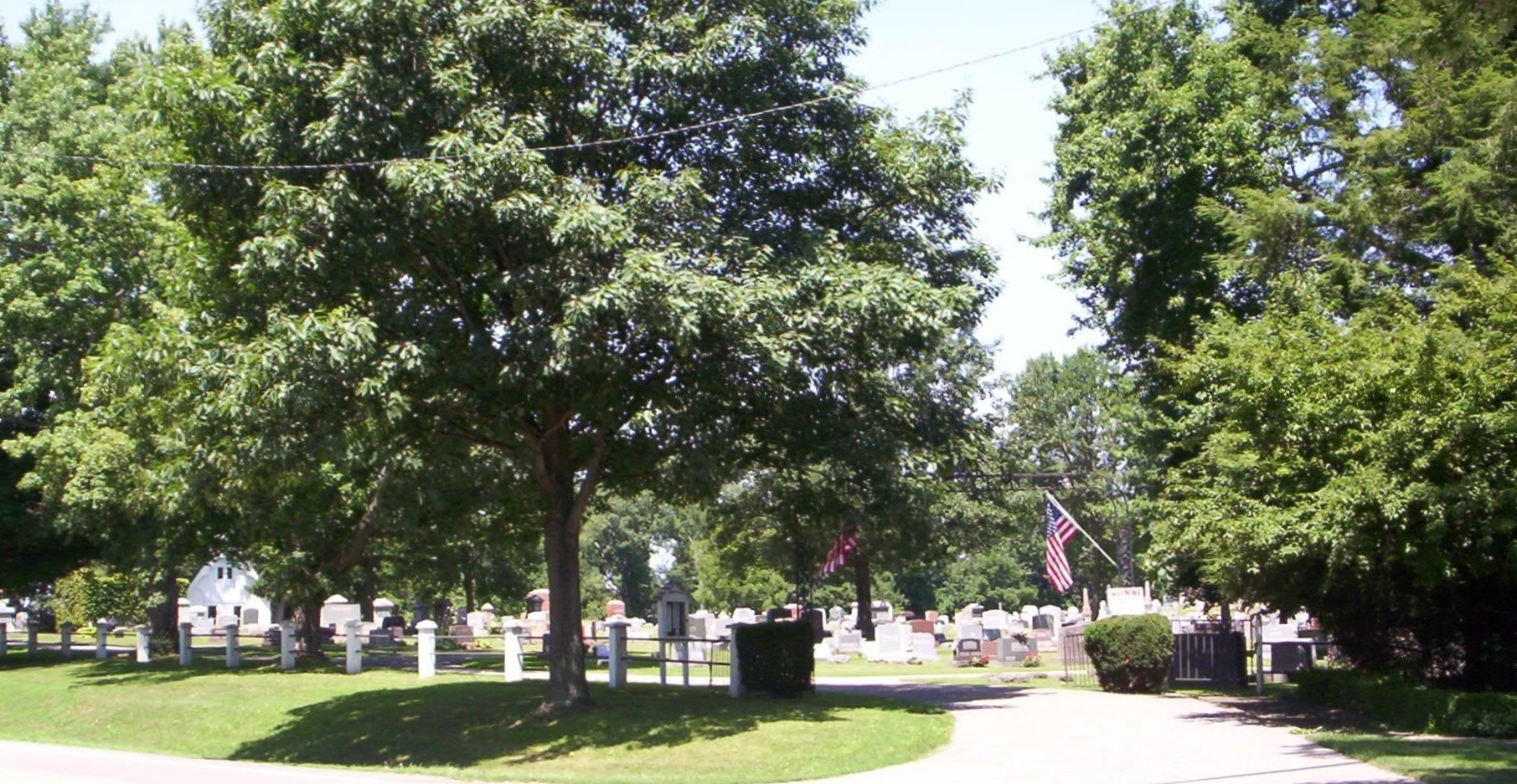
40°37′13″N 82°30′29″W / 40.620278°N 82.508056°WBellville 4 Bellville Cemetery Chapel 
July 8, 2010 Bellville Cemetery, State Route 97
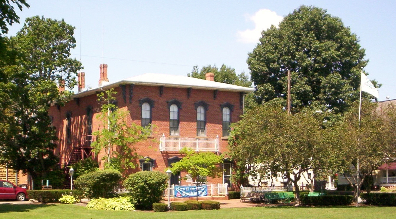
40°37′16″N 82°31′08″W / 40.621111°N 82.518889°WBellville 5 Bellville Village Hall 
March 17, 1976 Park Pl. and Church St.
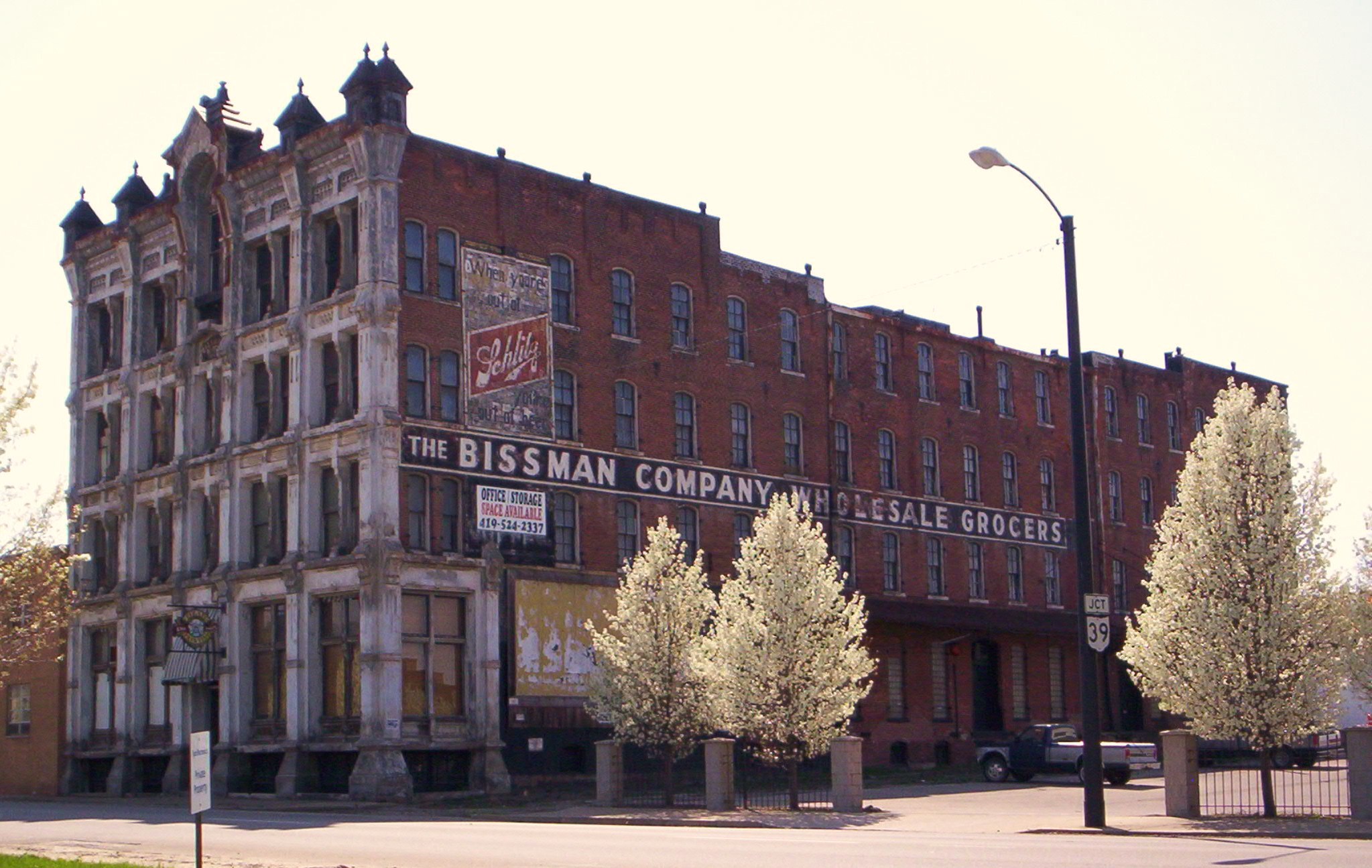
40°37′11″N 82°30′43″W / 40.619722°N 82.511944°WBellville 6 Bissman Block 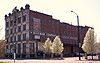
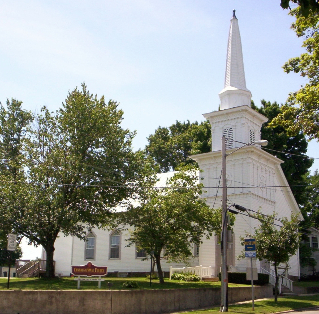
October 16, 1986 193 N. Main St.
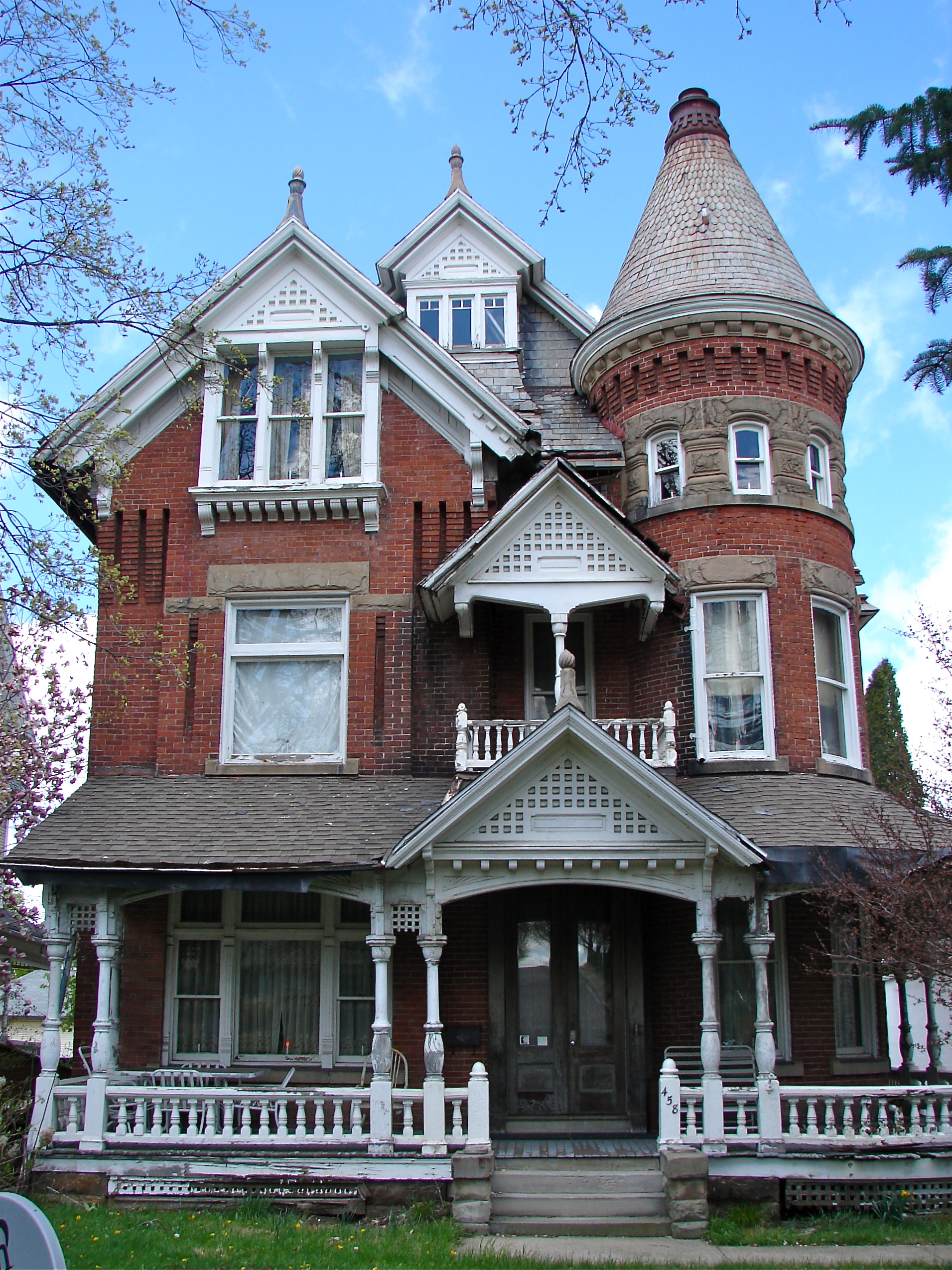
40°45′49″N 82°30′56″W / 40.763611°N 82.515556°WMansfield 7 B. F. Bissman House 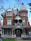
July 8, 1983 458 Park Ave., W.
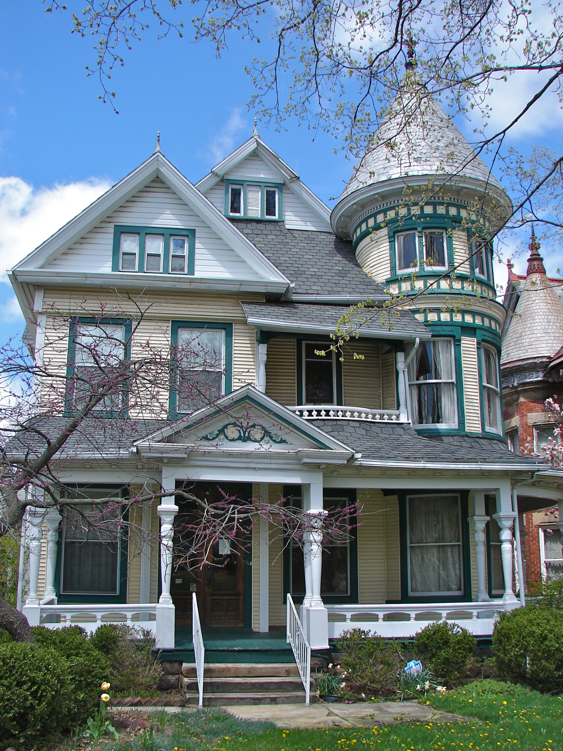
40°45′32″N 82°31′59″W / 40.758889°N 82.533056°WMansfield 8 Peter Bissman House 
July 8, 1983 462 Park Ave., W.
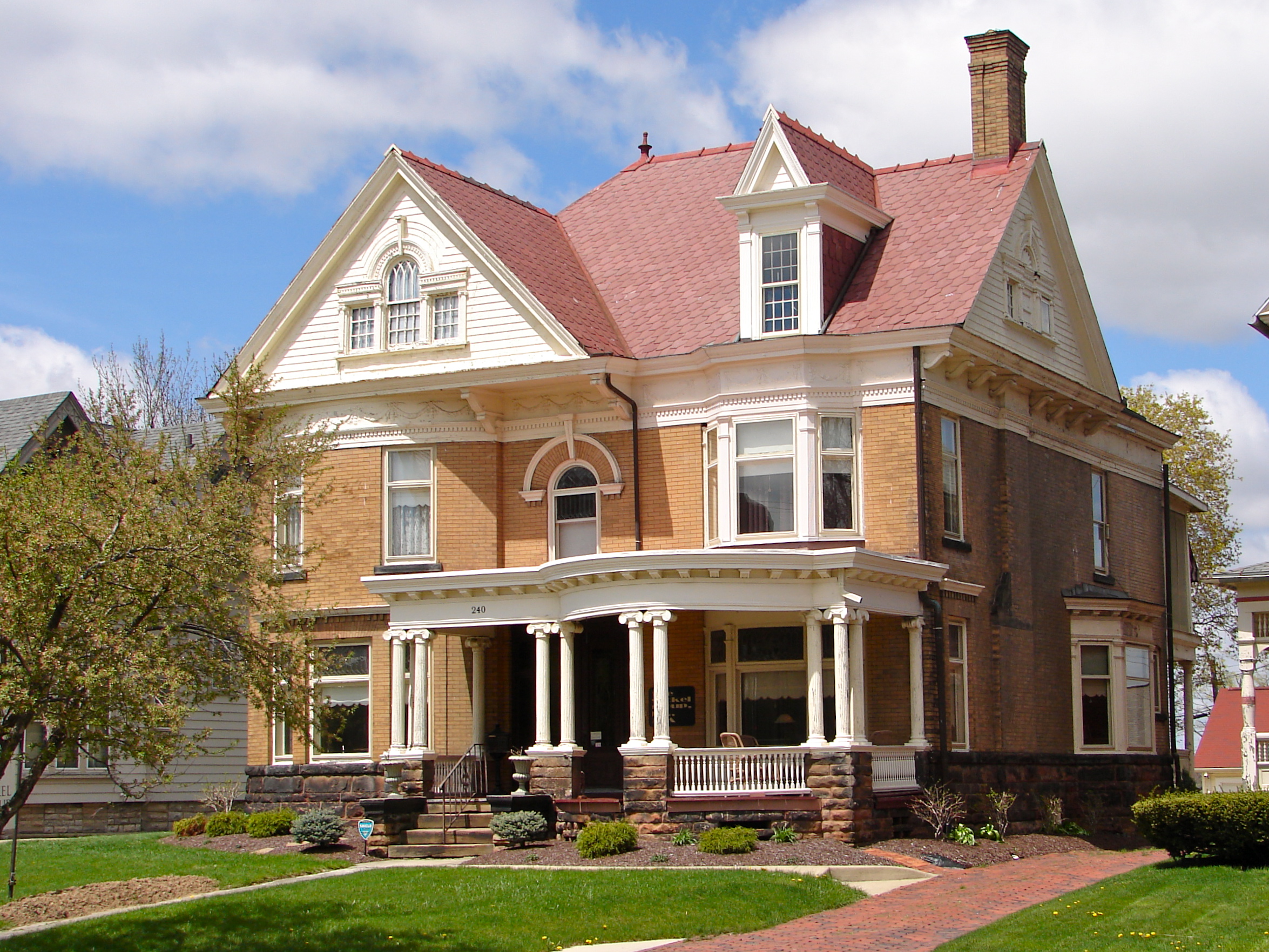
40°45′32″N 82°32′00″W / 40.758889°N 82.533333°WMansfield 9 Building at 240 Park Avenue West 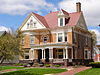
July 8, 1983 240 Park Ave., W.
40°45′33″N 82°31′28″W / 40.759167°N 82.524444°WMansfield 10 Building at 252-254 Park Avenue West 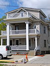
February 2, 1984 252-254 Park Ave., W.
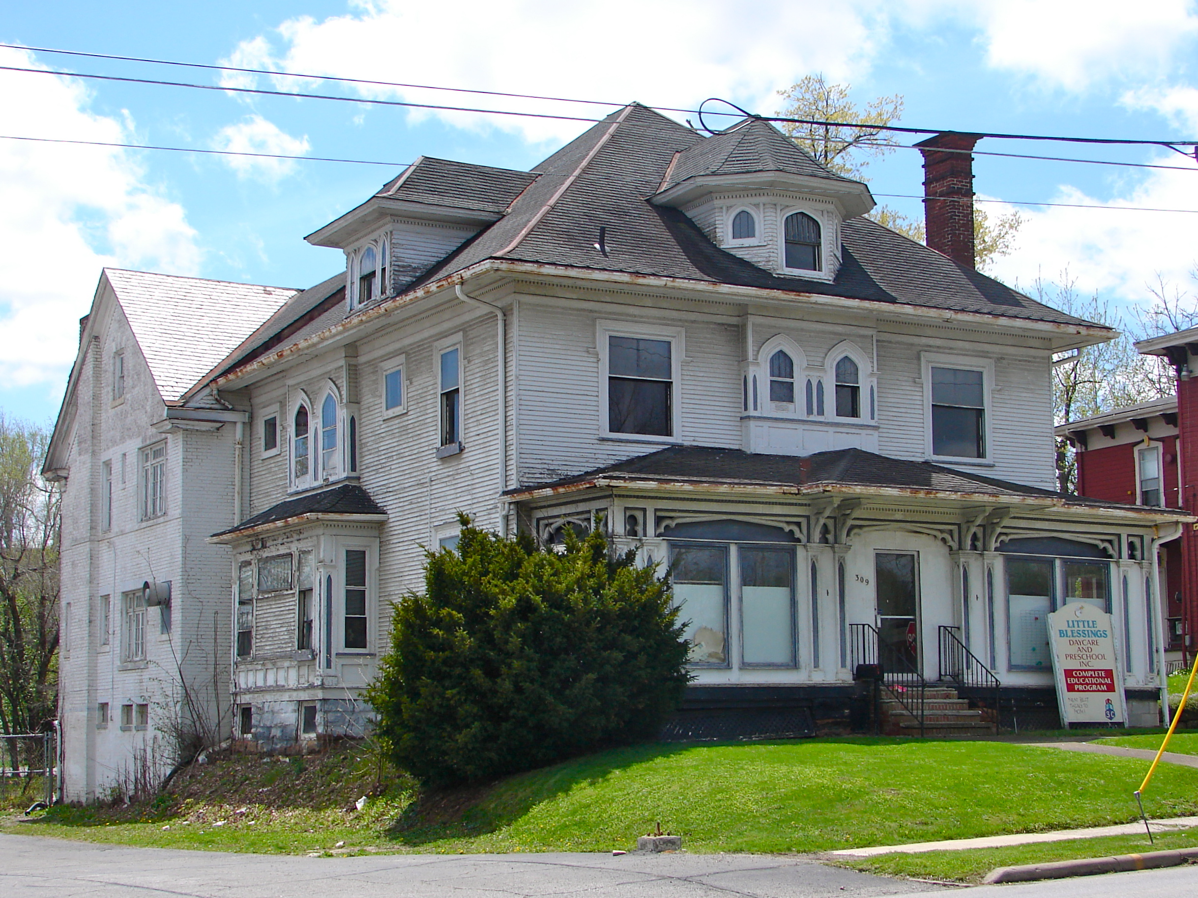
40°45′33″N 82°31′29″W / 40.759167°N 82.524722°WMansfield 11 Building at 309 Park Avenue West 
February 2, 1984 309 Park Ave., W.
40°45′32″N 82°31′37″W / 40.75875°N 82.52682°WMansfield 12 Building at 415 Park Avenue West 
February 2, 1984 415 Park Ave., W.
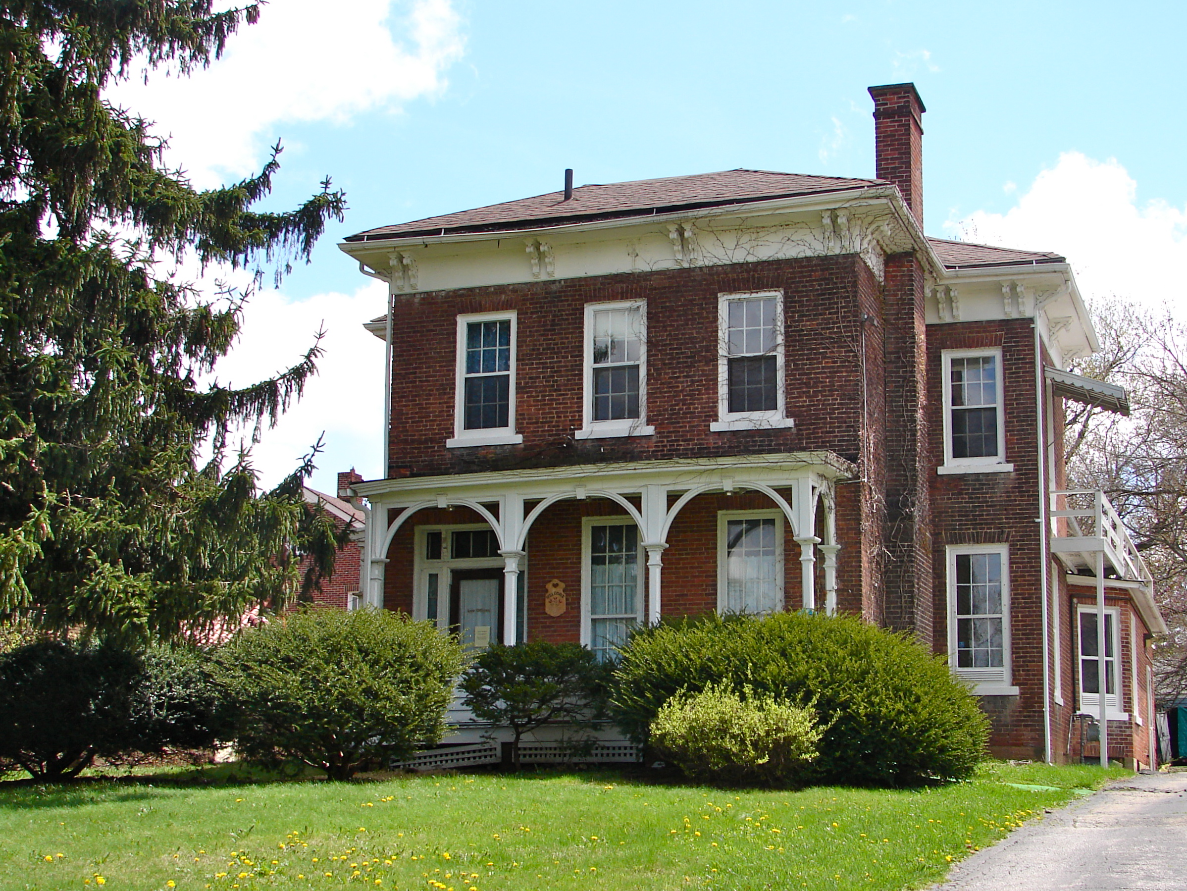
40°45′32″N 82°31′51″W / 40.758889°N 82.530833°WMansfield 13 Martin Bushnell House 
April 26, 1974 34 Sturges Ave.
40°45′10″N 82°31′24″W / 40.752778°N 82.523333°WMansfield 14 Central United Methodist Church 
July 8, 1983 378 Park Ave., W.
40°45′33″N 82°31′46″W / 40.759167°N 82.529444°WMansfield 15 City Mills Building 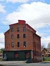
December 18, 1986 160 N. Main St.
40°45′53″N 82°30′54″W / 40.764722°N 82.515°WMansfield 16 The Colonial 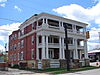
July 8, 1983 283 Park Ave., W.
40°45′31″N 82°31′33″W / 40.758611°N 82.525833°WMansfield 17 J. M. Cook House 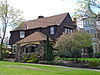
July 8, 1983 429 Park Ave., W.
40°45′31″N 82°31′54″W / 40.758611°N 82.531667°WMansfield 18 S. M. Douglas House 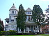
July 8, 1983 437 Park Ave., W.
40°45′31″N 82°31′54″W / 40.758611°N 82.531667°WMansfield 19 Dow House 
July 8, 1983 564 Park Ave., W.
40°45′32″N 82°32′11″W / 40.758889°N 82.536389°WMansfield 20 Silas Ferrell House December 14, 1987 25 E. Main St.
40°58′00″N 82°35′58″W / 40.966667°N 82.599444°WShiloh 21 First Congregational Church and Lexington School 
February 23, 1979 47 Delaware St. and 51 W. Church St.
40°40′39″N 82°35′09″W / 40.6775°N 82.585833°WLexington 22 First English Lutheran Church 
July 8, 1983 53 Park Ave., W.
40°45′30″N 82°31′04″W / 40.758333°N 82.517778°WMansfield 23 Fraser House 
July 8, 1983 681 Park Ave., W.
40°45′32″N 82°32′28″W / 40.758889°N 82.541111°WMansfield 24 F. A. Gilbert House 
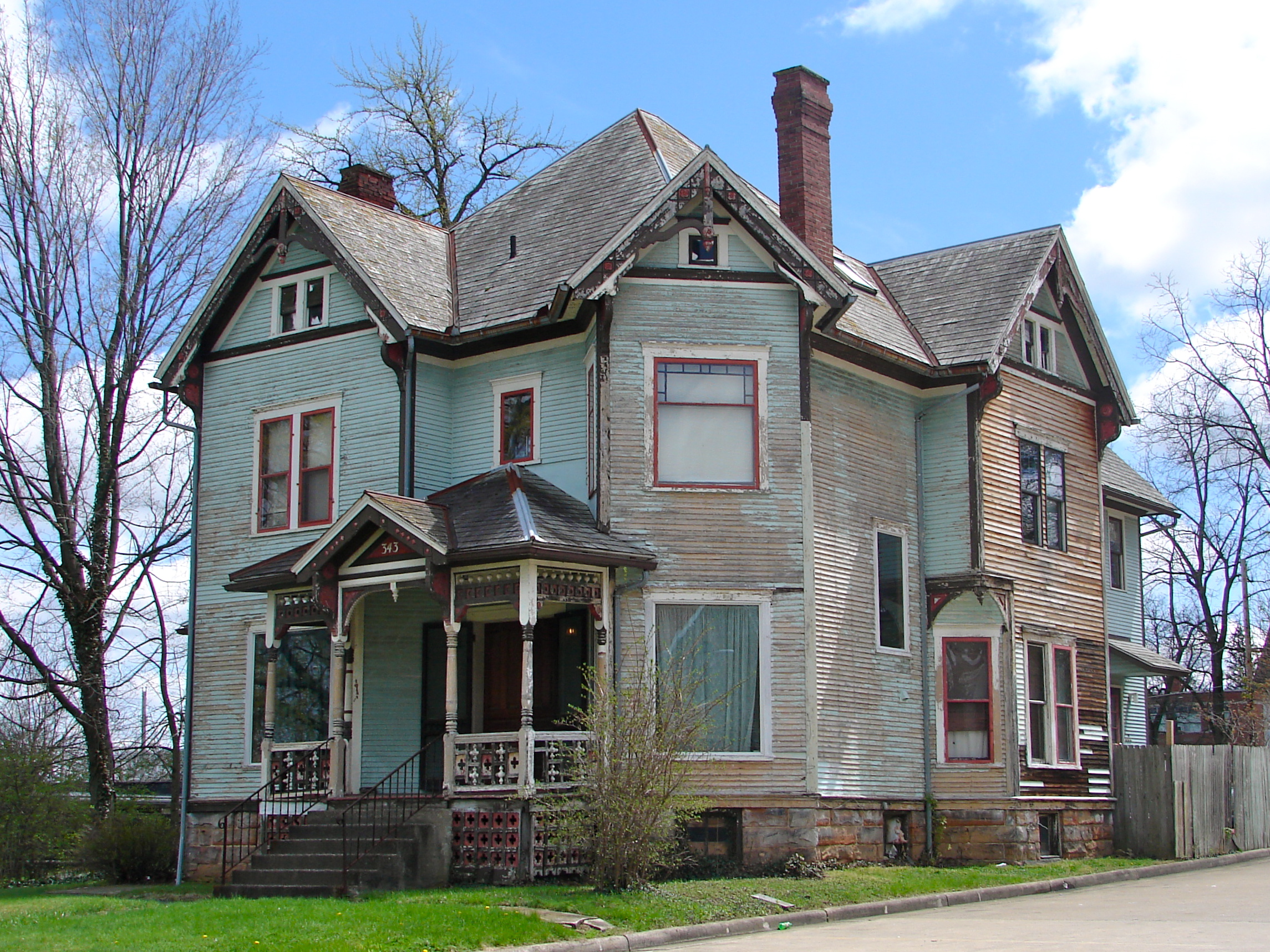
February 2, 1984 343 Park Ave., W.
40°45′31″N 82°31′41″W / 40.758611°N 82.528056°WMansfield 25 Gurney-Kochheiser House 
April 30, 1976 174 Main St.
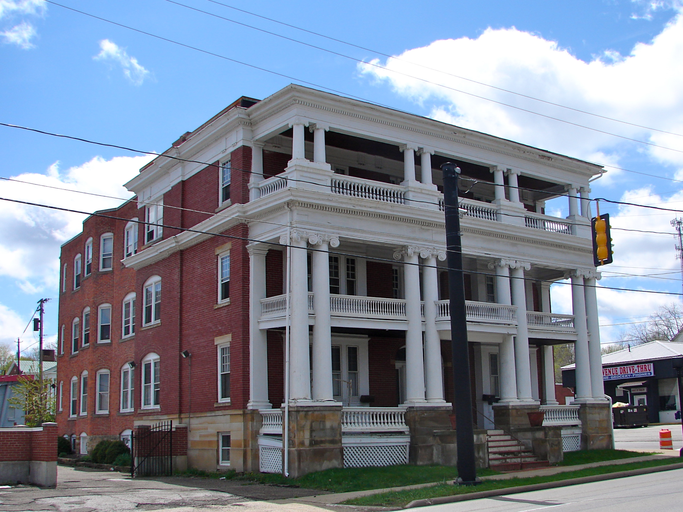
40°37′09″N 82°30′42″W / 40.619167°N 82.511667°WBellville 26 Hancock and Dow Building 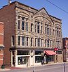
February 26, 1987 21 E. 4th St.
40°45′40″N 82°30′54″W / 40.761111°N 82.515°WMansfield 27 Rufus A. Kern House 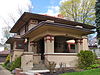
July 8, 1983 608 Park Ave., W.
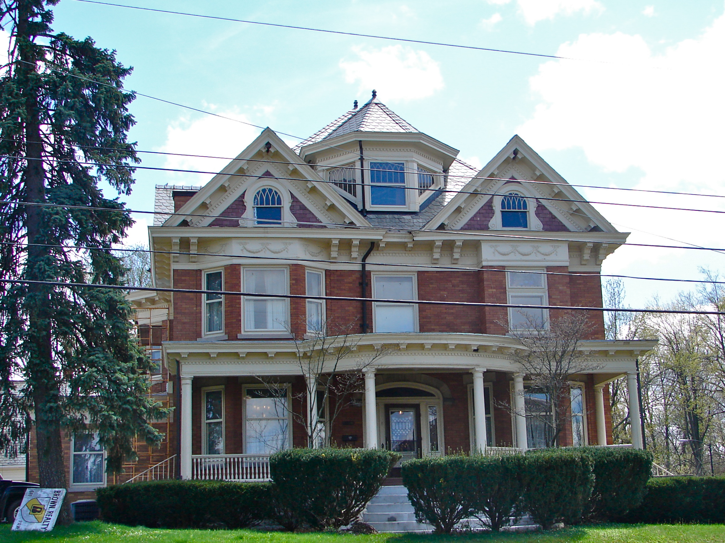
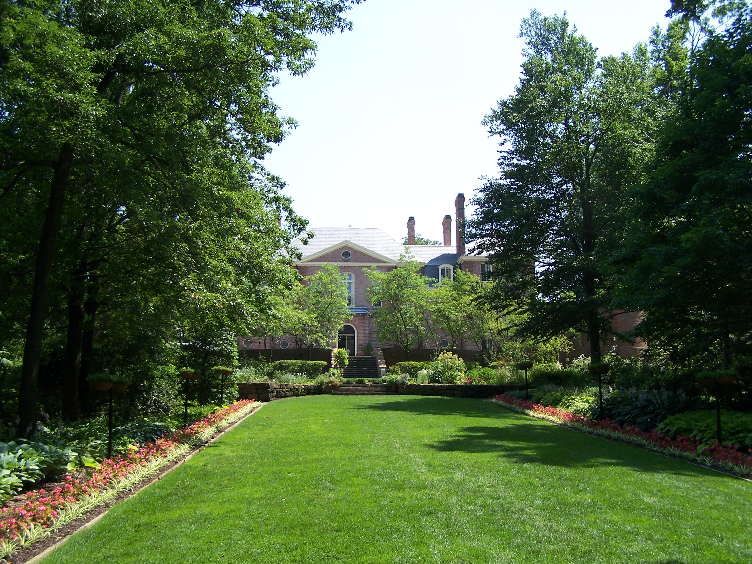
40°45′33″N 82°32′15″W / 40.759167°N 82.5375°WMansfield 28 Kingwood Center 
November 7, 1976 900 Park Ave., W.
40°45′36″N 82°32′52″W / 40.76°N 82.547778°WMansfield 29 John Krause House 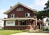
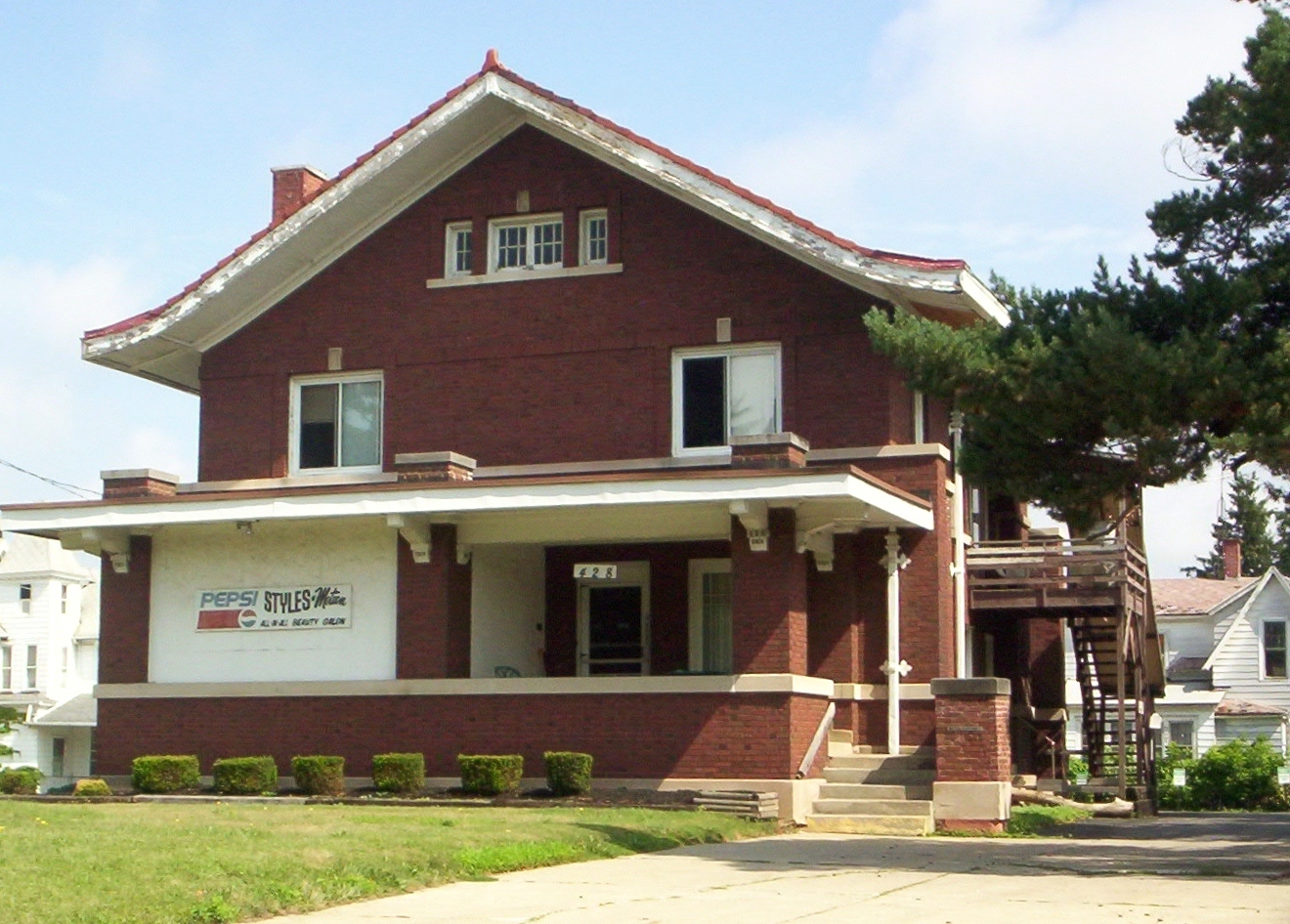
July 8, 1983 428 Park Ave., W.
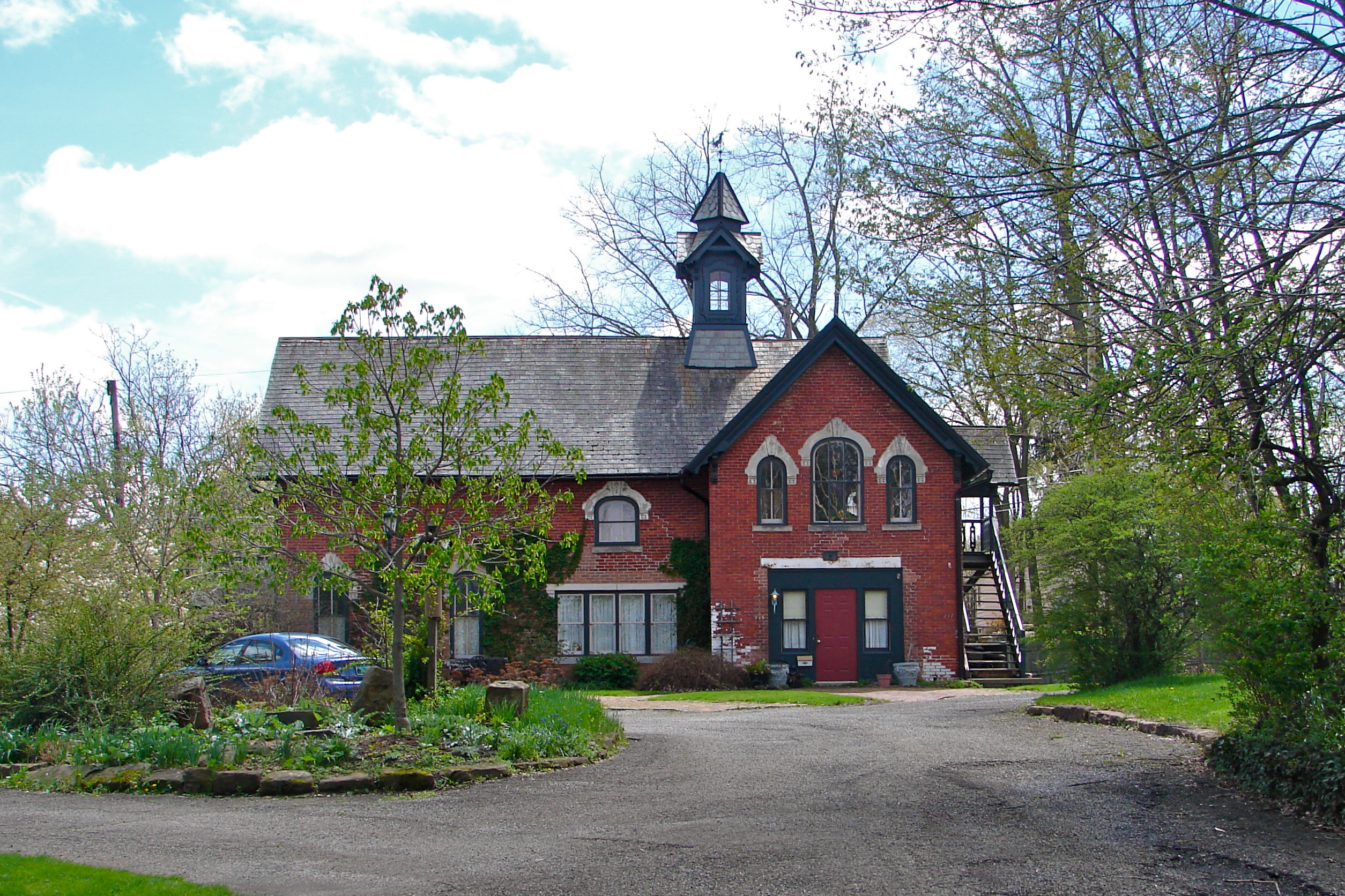
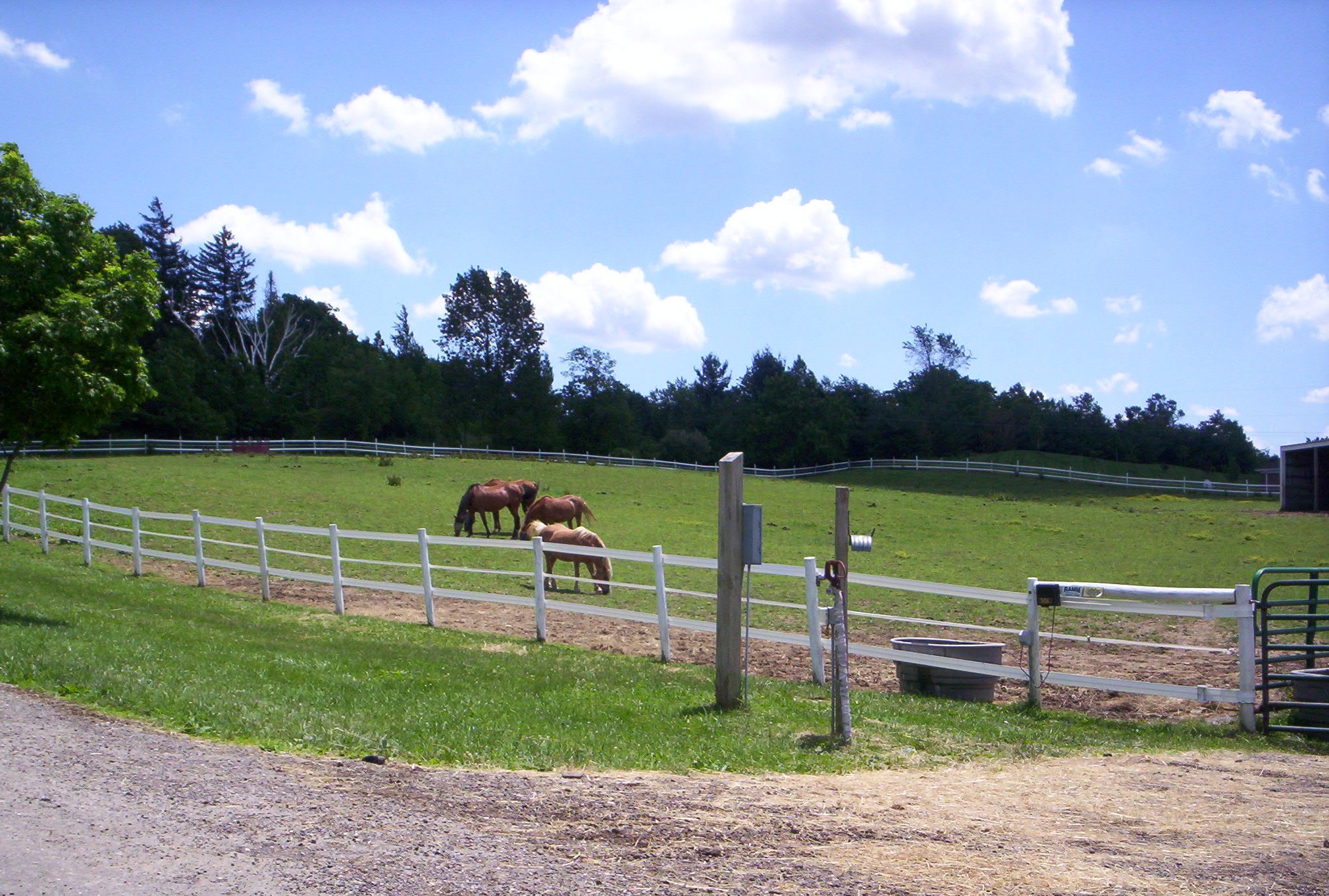
40°45′33″N 82°31′53″W / 40.759167°N 82.531389°WMansfield 30 Samuel Lewis House June 1, 1982 291 N. Stewart Rd., east of Mansfield
40°45′58″N 82°28′35″W / 40.766111°N 82.476389°WMadison Township 31 Malabar Farm 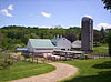
April 11, 1973 Southeast of Lucas on Pleasant Valley Rd.
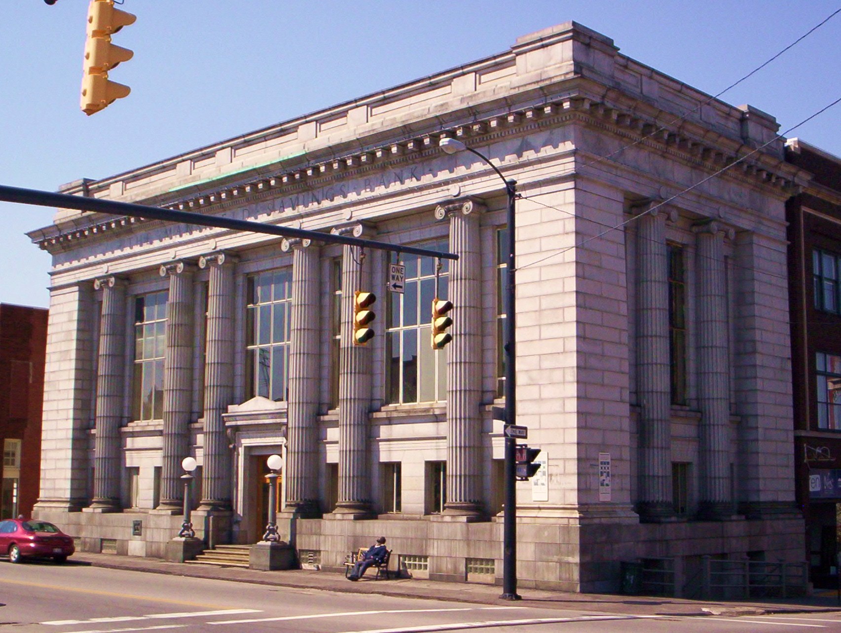
40°38′57″N 82°23′26″W / 40.649167°N 82.390556°WMonroe Township 32 Mansfield Savings Bank 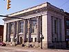
October 16, 1986 4 W. 4th St.
40°45′40″N 82°30′57″W / 40.761111°N 82.515833°WMansfield 33 Mansfield Woman's Club 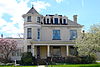
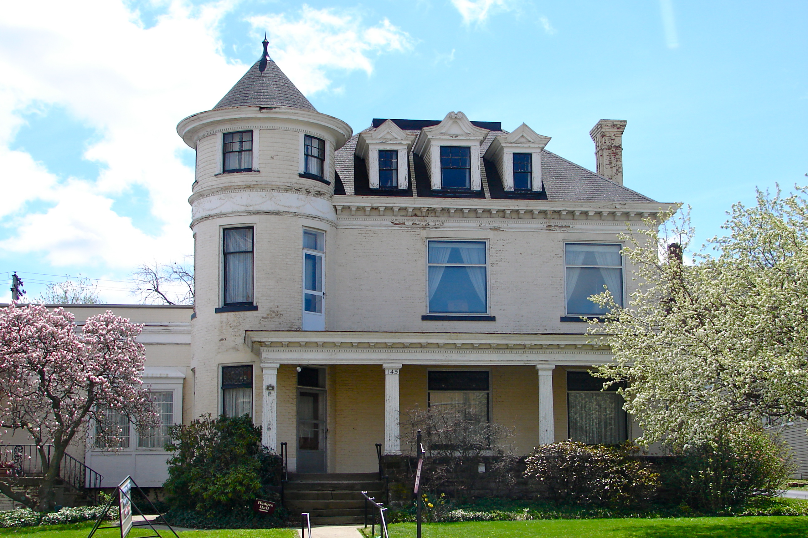
July 8, 1983 145 Park Ave., W.
40°45′31″N 82°31′16″W / 40.758611°N 82.521111°WMansfield 34 Judge Mansfield House 
July 8, 1983 228 Park Ave., W.
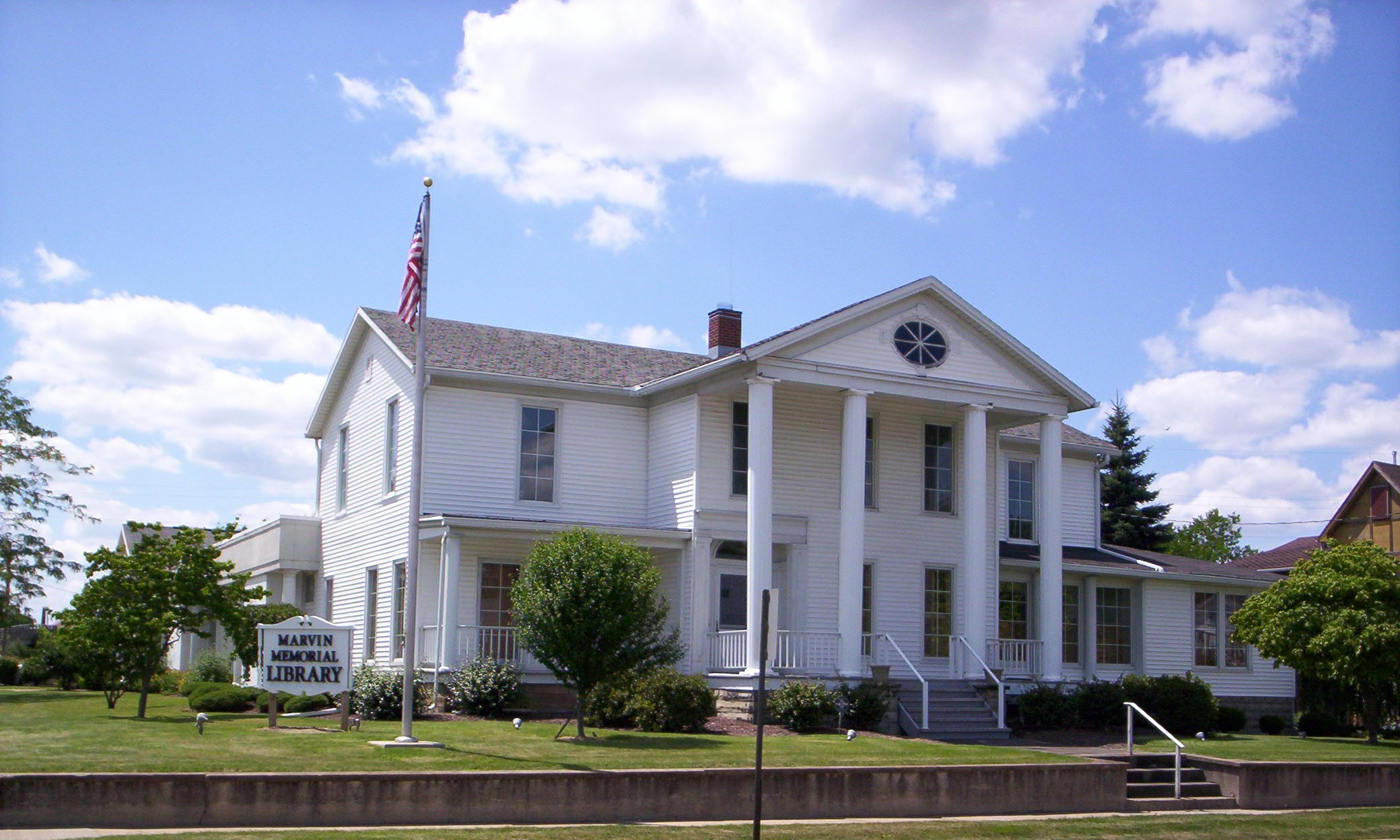
40°45′15″N 82°31′03″W / 40.754167°N 82.5175°WMansfield 35 Marvin Memorial Library 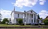
August 13, 1987 34 N. Gamble St.
40°52′59″N 82°39′44″W / 40.883056°N 82.662222°WShelby 36 May Realty Building 
October 16, 1986 22-32 S. Park St.
40°45′28″N 82°30′54″W / 40.757778°N 82.515°WMansfield 37 Mechanics Building and Loan Company 
July 8, 1983 2 S. Main St.
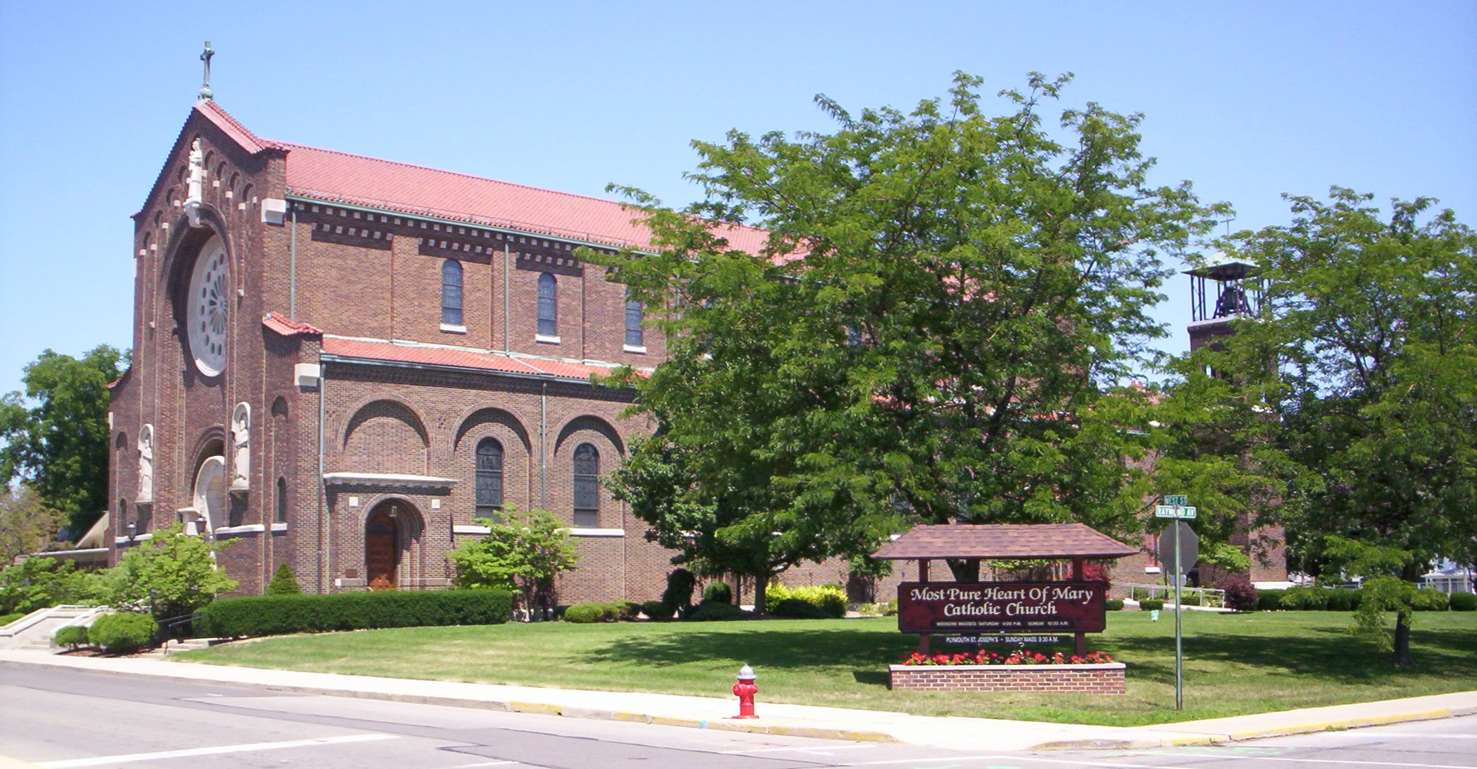
40°45′30″N 82°30′57″W / 40.758333°N 82.515833°WMansfield 38 Most Pure Heart Of Mary Church 
November 30, 1978 West St. and Raymond Ave.
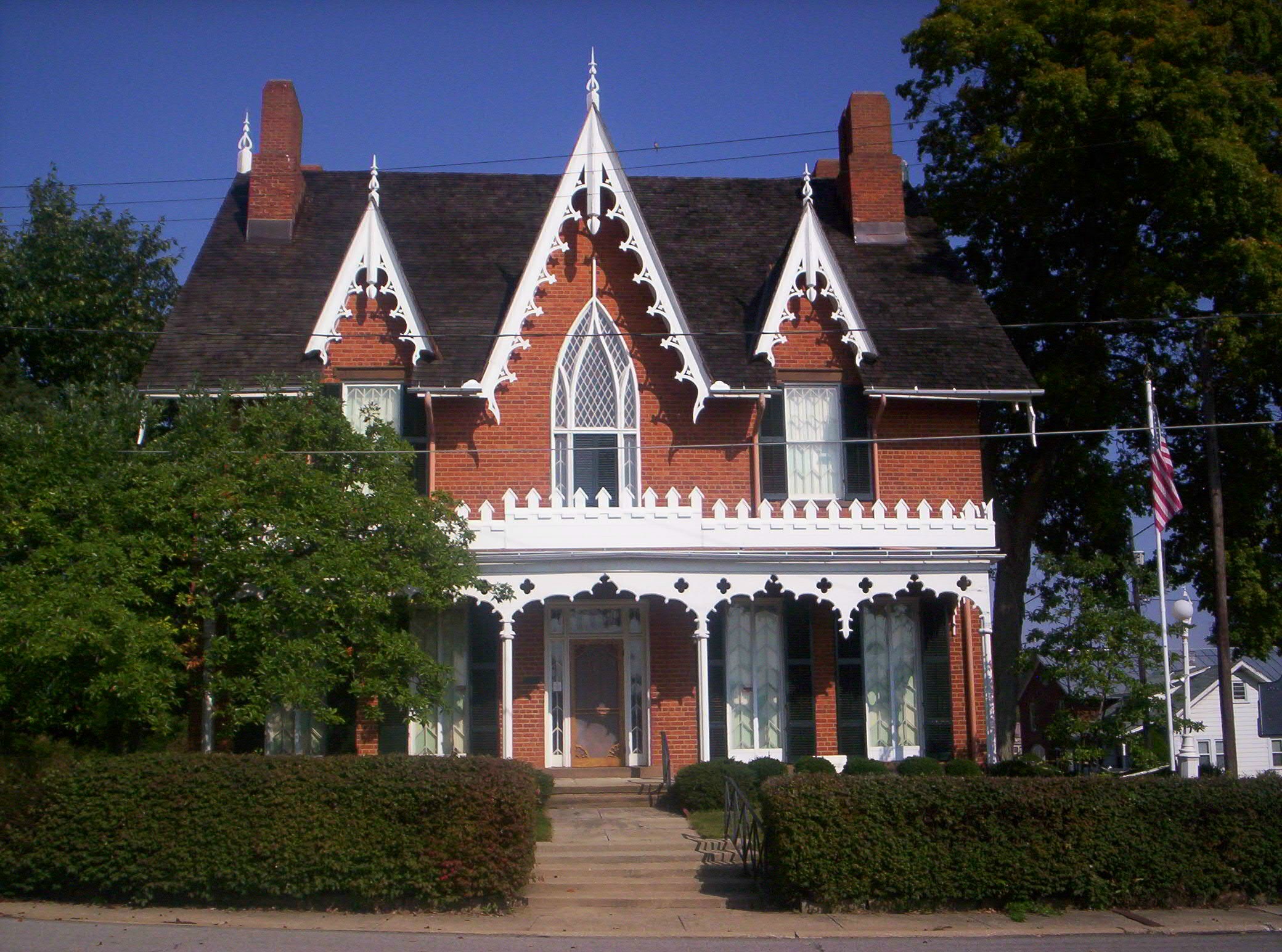
40°52′58″N 82°40′02″W / 40.882778°N 82.667222°WShelby 39 Oak Hill Cottage 
June 11, 1969 310 Springmill St.
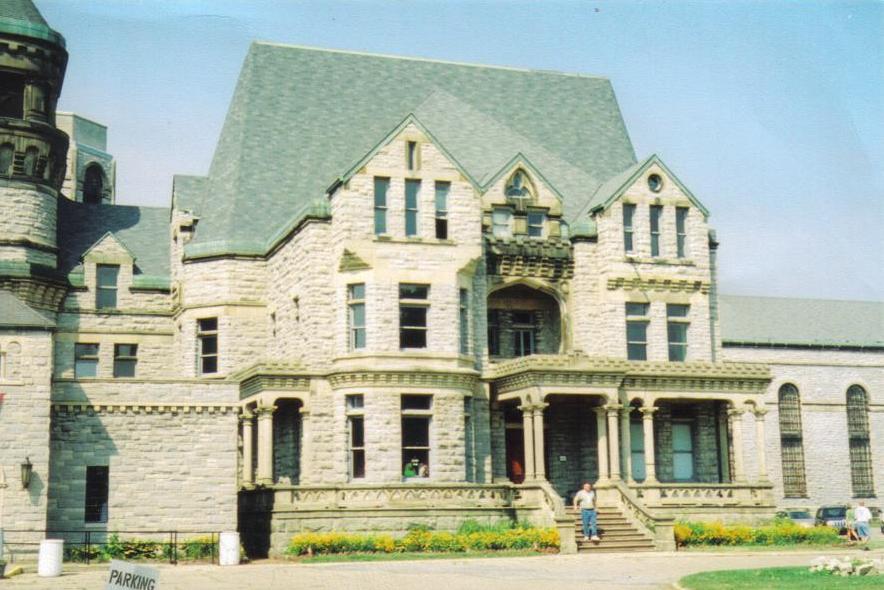
40°46′04″N 82°31′04″W / 40.767778°N 82.517778°WMansfield 40 Ohio State Reformatory 
April 14, 1983 Olivesburg Rd.
40°47′07″N 82°30′18″W / 40.785278°N 82.505°WMansfield 41 Ohio Theatre 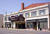
May 31, 1983 136 Park Ave., W.
40°45′32″N 82°31′16″W / 40.758889°N 82.521111°WMansfield 42 Old Carriage Barn 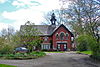
July 8, 1983 337 Park Ave., W.
40°45′31″N 82°31′41″W / 40.758611°N 82.528056°WMansfield 43 Pacific Curios Antiques July 8, 1983 365 Park Ave., W.
40°45′31″N 82°31′46″W / 40.758611°N 82.529444°WMansfield 44 Park Avenue Baptist Church 
July 8, 1983 296 Park Ave., W.
40°45′34″N 82°31′34″W / 40.759444°N 82.526111°WMansfield 45 Plymouth Greenlawn Cemetery Chapel 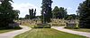
February 22, 1996 Greenlawn Cemetery
40°59′13″N 82°40′07″W / 40.986944°N 82.668611°WPlymouth 46 Raemelton Farm Historic District 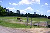
January 8, 2003 Bounded by Marion Ave. and Millsboro and Trimble Rds.
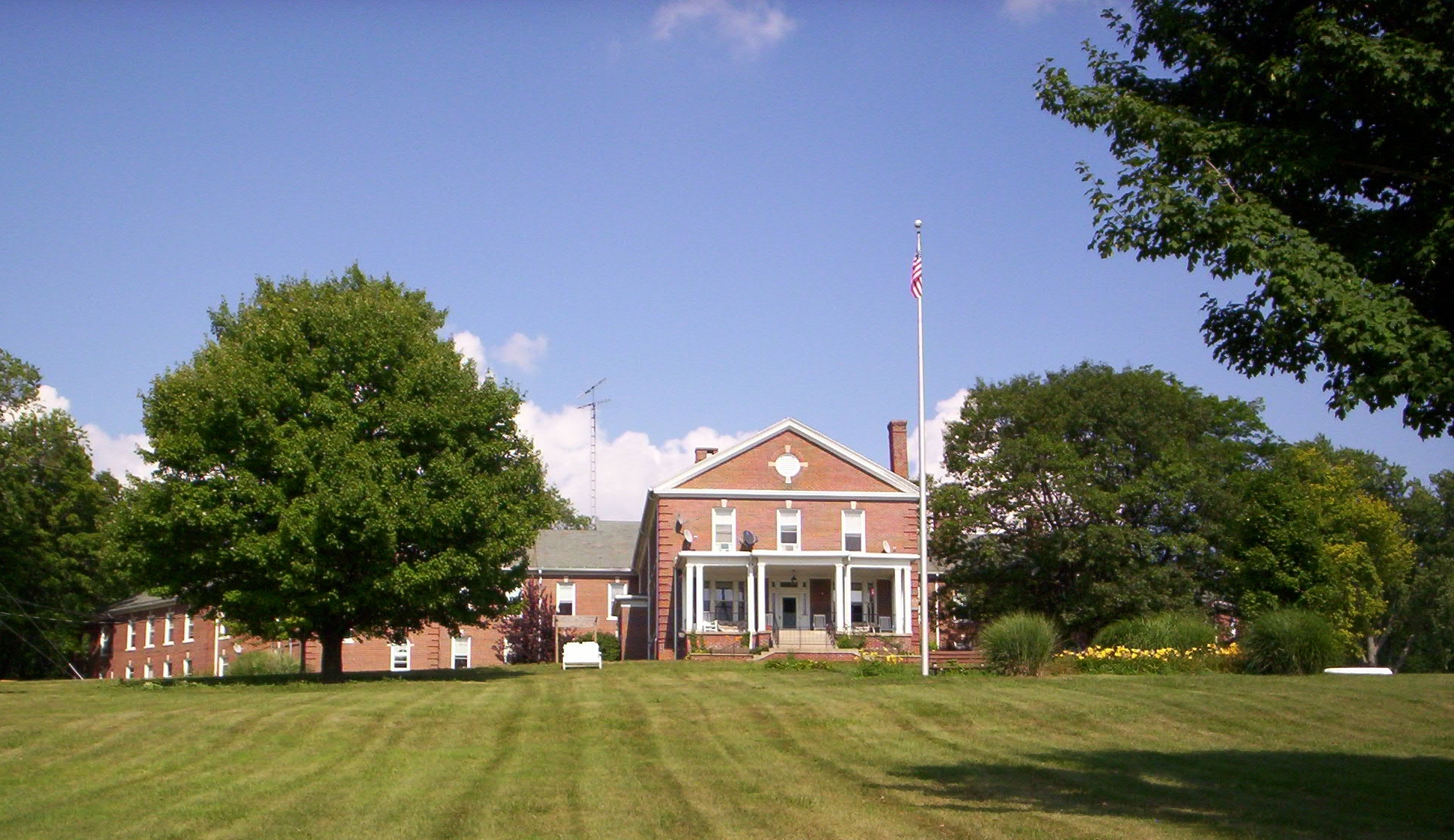
40°44′36″N 82°32′53″W / 40.743333°N 82.548056°WMansfield 47 Richland County Infirmary 
September 24, 2001 3220 Mansfield-Olivesburg Rd., north of Mansfield
40°50′25″N 82°28′12″W / 40.840278°N 82.47°WWeller Township 48 Richland Trust Building 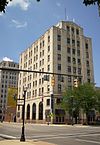
July 8, 1983 3 Park Ave., W.
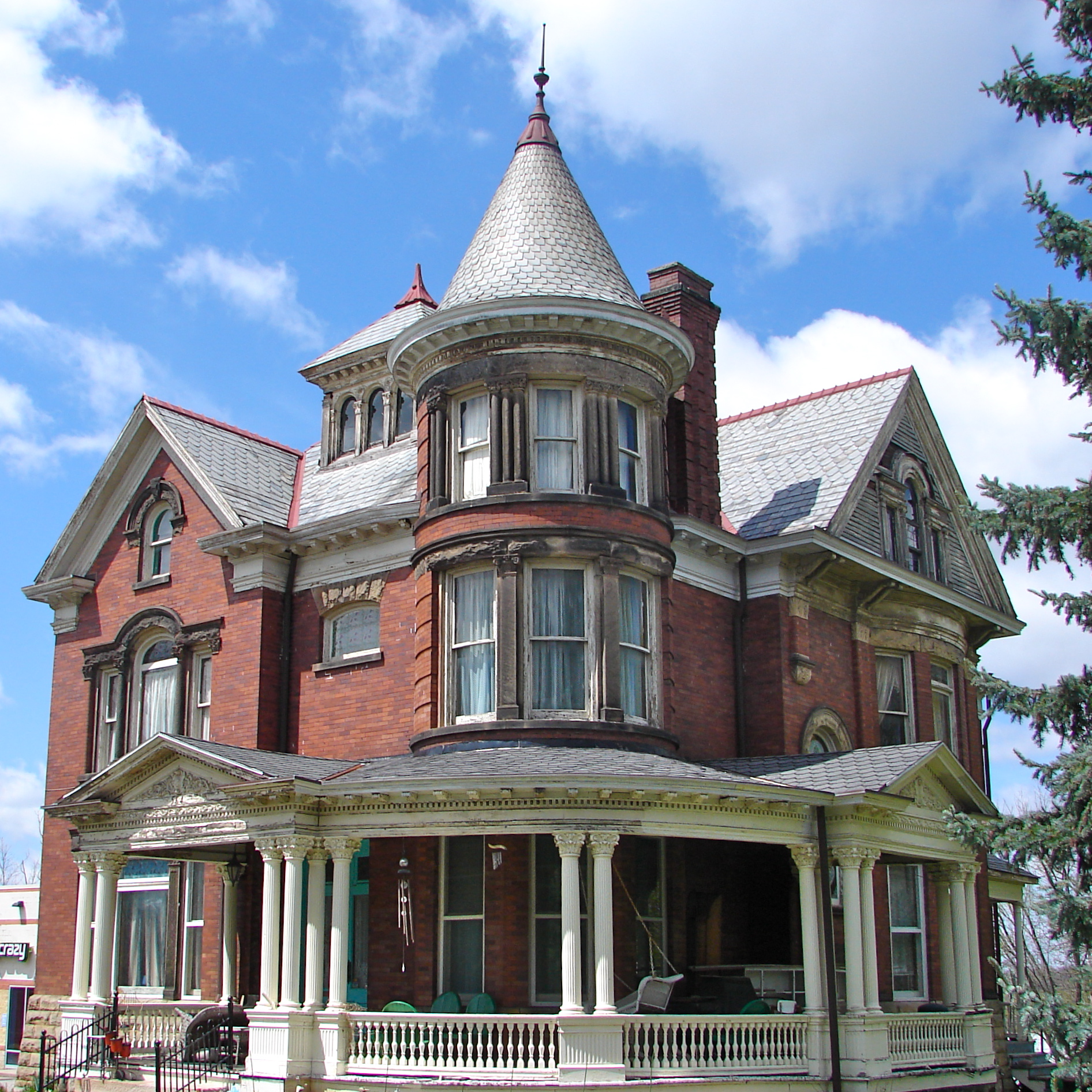
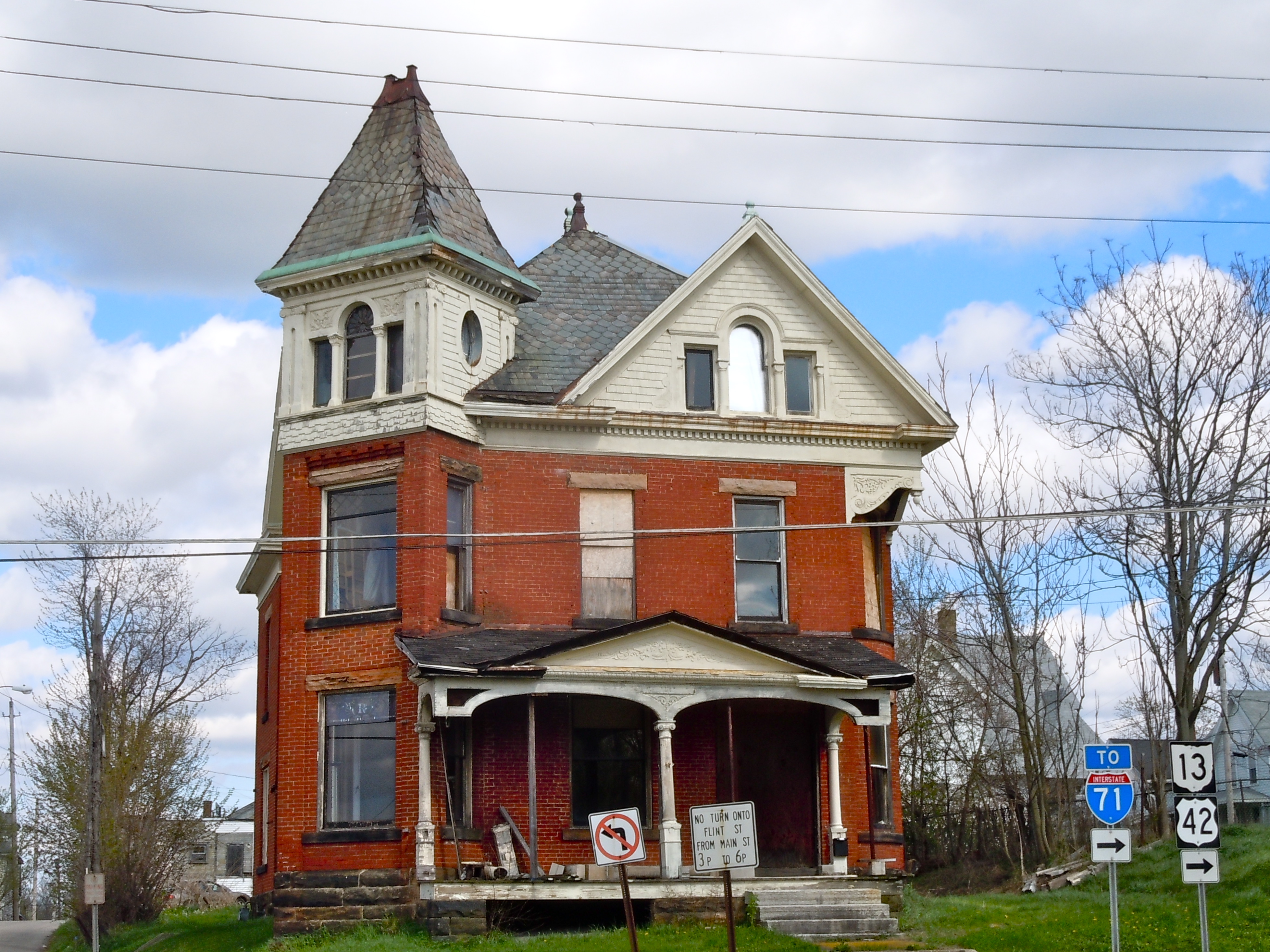
40°45′31″N 82°30′57″W / 40.758611°N 82.515833°WMansfield 49 William Ritter House 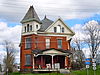
December 29, 1978 181 S. Main St.
40°45′12″N 82°30′57″W / 40.753333°N 82.515833°WMansfield 50 Rummell Mill April 7, 1982 Northeast of Butler on State Route 349
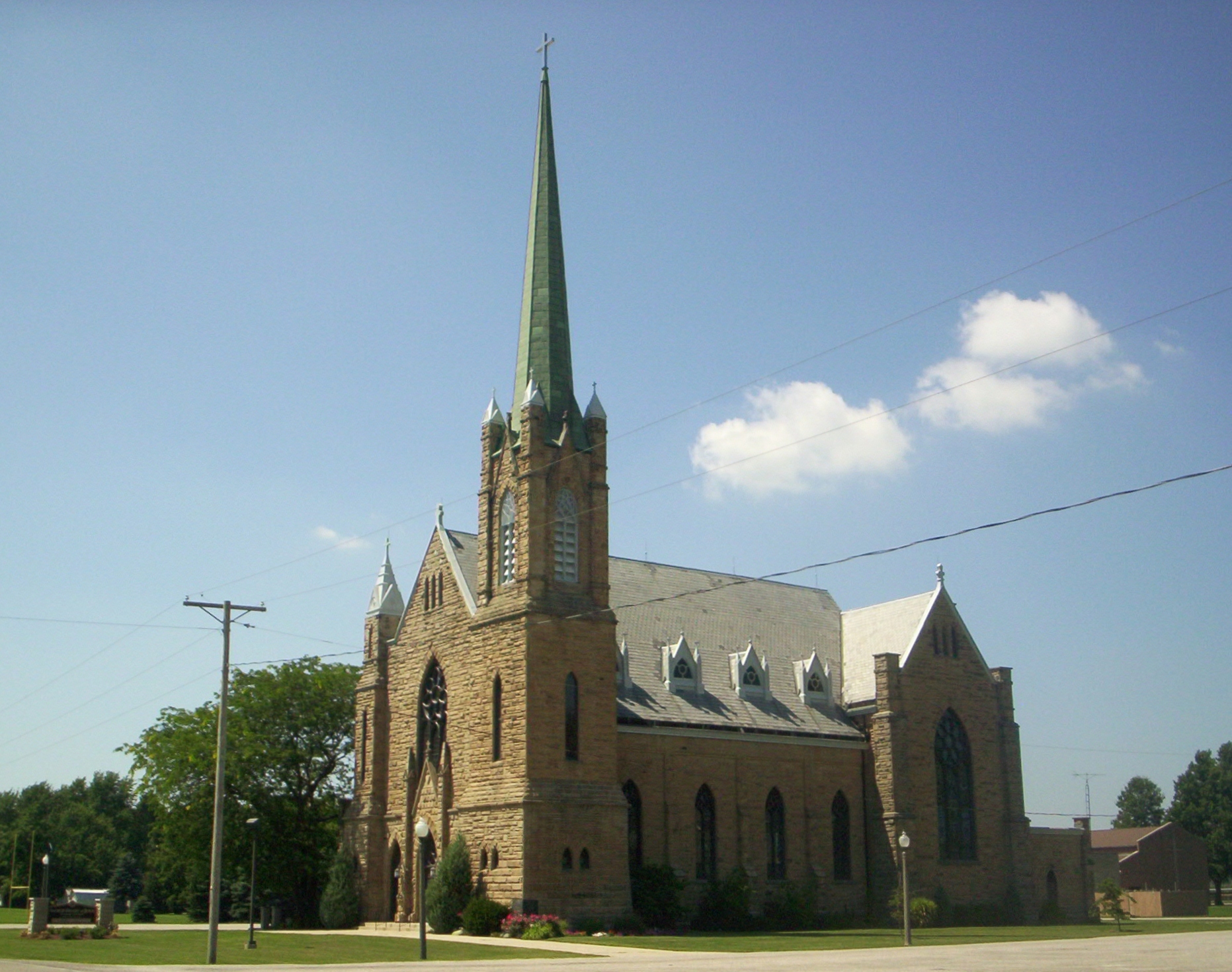
40°35′59″N 82°24′29″W / 40.599722°N 82.408056°WWorthington Township 51 Sacred Heart of Jesus Churches 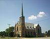
January 6, 1986 State Route 61 at Bethlehem
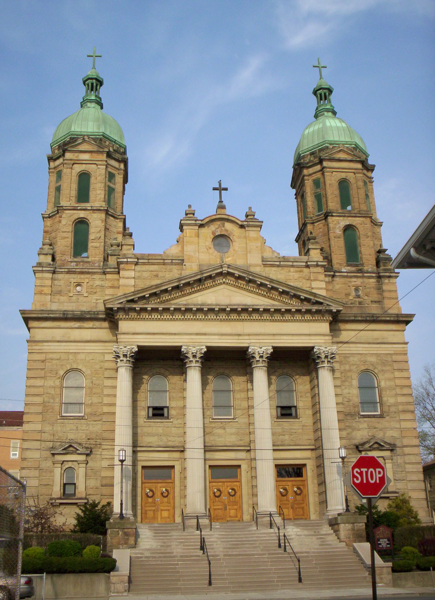
40°50′16″N 82°43′21″W / 40.837778°N 82.7225°WSharon Township 52 St. Peter's Church 
November 29, 1979 54 S. Mulberry St.
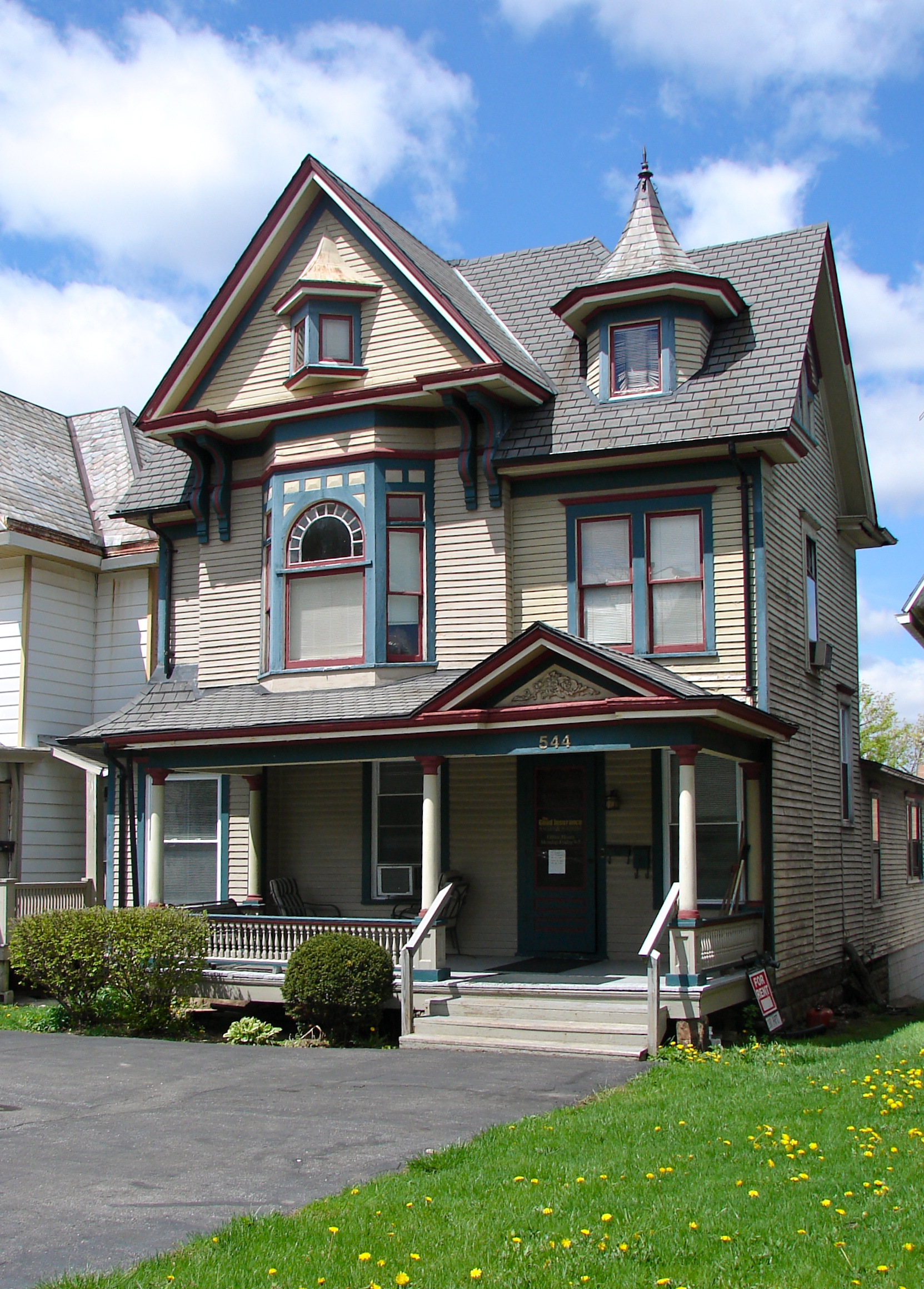
40°45′25″N 82°31′07″W / 40.756944°N 82.518611°WMansfield 53 Robert Sandiford House 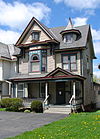
July 8, 1983 544 Park Ave., W.
40°45′33″N 82°32′07″W / 40.759167°N 82.535278°WMansfield 54 George Shambaugh House April 1, 1982 Frontz Rd., northwest of Perrysville
40°43′10″N 82°20′48″W / 40.719444°N 82.346667°WMonroe Township 55 Shelby Center Historic District 
May 13, 1982 E. and W. Main Sts.
40°52′51″N 82°39′38″W / 40.880833°N 82.660556°WShelby 56 John Sherman Memorial Gateway July 8, 1983 699 Park Ave., W.
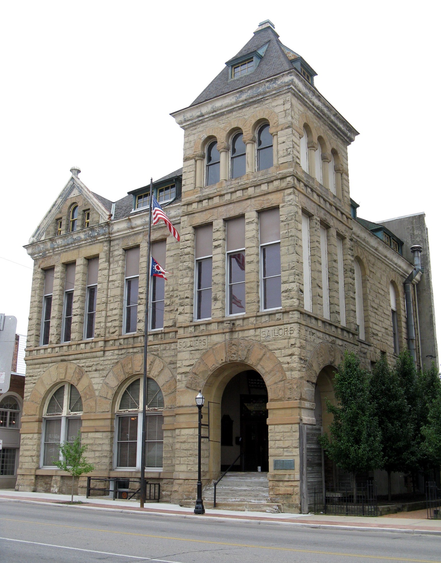
40°45′32″N 82°32′26″W / 40.758889°N 82.540556°WMansfield 57 Soldiers and Sailors Memorial Building and Madison Theater 
May 27, 1980 36 Park Ave., W.
40°45′32″N 82°31′01″W / 40.758889°N 82.516944°WMansfield 58 Springfield Township School April 24, 2003 3560 Park Ave., W.
40°45′39″N 82°38′33″W / 40.760833°N 82.6425°WOntario 59 Stewart Towers 
July 8, 1983 13 Park Ave., W.
40°45′30″N 82°30′59″W / 40.758333°N 82.516389°WMansfield 60 Susan Sturges House 
July 8, 1983 317 Park Ave., W.
40°45′31″N 82°31′35″W / 40.758611°N 82.526389°WMansfield 61 Tappan House 
July 8, 1983 308 Park Ave., W.
40°45′33″N 82°31′36″W / 40.759167°N 82.526667°WMansfield 62 Tubbs-Sourwine House 
February 5, 1999 49 Railroad St.
40°59′38″N 82°40′04″W / 40.993889°N 82.667778°WPlymouth 63 Upson House 
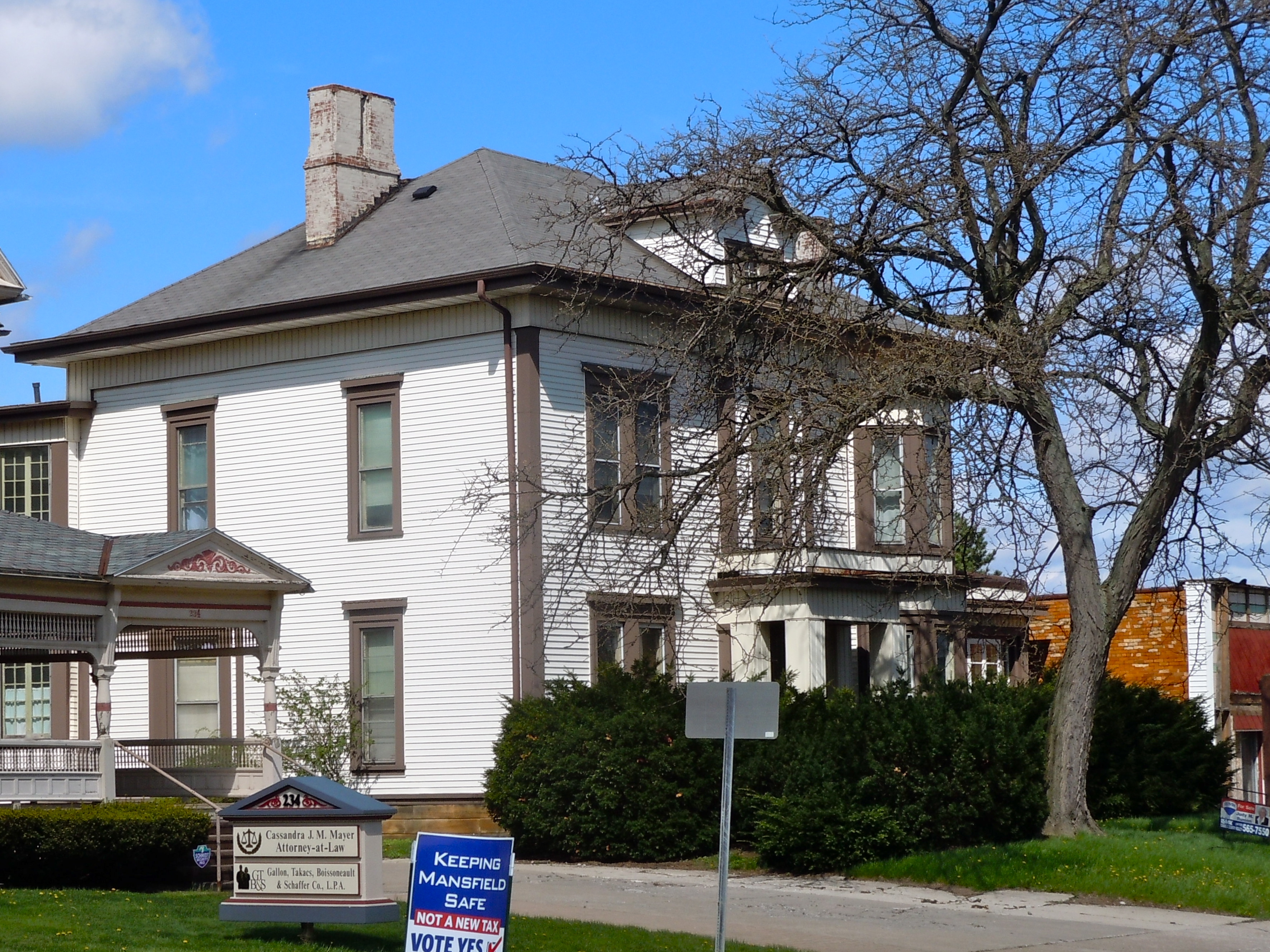
July 8, 1983 234 Park Ave., W.
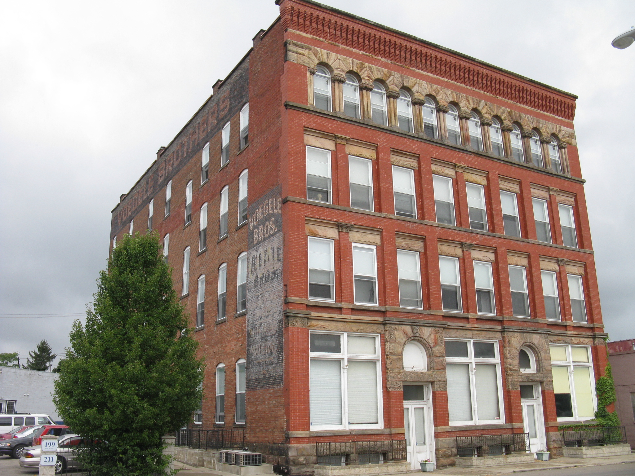
40°45′14″N 82°31′03″W / 40.753889°N 82.5175°WMansfield 64 Voegele Building 
January 14, 2000 211 N. Main St.
40°45′49″N 82°30′58″W / 40.763611°N 82.516111°WMansfield 65 W. S. Ward House 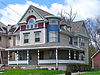
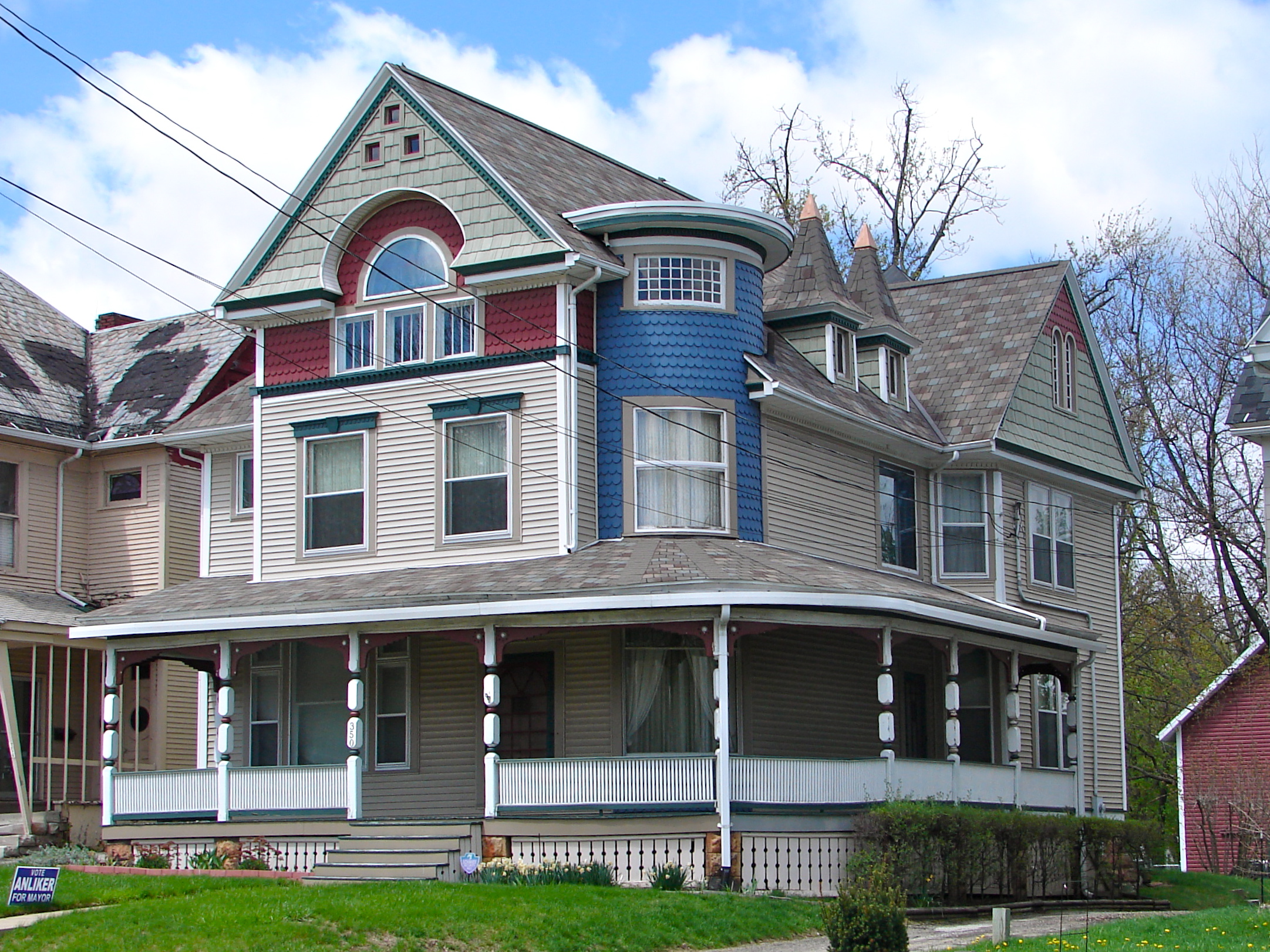
July 8, 1983 350 Park Ave., W.
40°45′32″N 82°31′43″W / 40.758889°N 82.528611°WMansfield See also
References
- ^ The latitude and longitude information provided in this table was derived originally from the National Register Information System, which has been found to be fairly accurate for about 99% of listings. For about 1% of NRIS original coordinates, experience has shown that one or both coordinates are typos or otherwise extremely far off; some corrections may have been made. A more subtle problem causes many locations to be off by up to 150 yards, depending on location in the country: most NRIS coordinates were derived from tracing out latitude and longitudes off of USGS topographical quadrant maps created under the North American Datum of 1927, which differs from the current, highly accurate WGS84 GPS system used by Google maps. Chicago is about right, but NRIS longitudes in Washington are higher by about 4.5 seconds, and are lower by about 2.0 seconds in Maine. Latitudes differ by about 1.0 second in Florida. Some locations in this table may have been corrected to current GPS standards.
- ^ "National Register of Historic Places: Weekly List Actions". National Park Service, United States Department of the Interior. Retrieved on November 10, 2011.
- ^ Numbers represent an ordering by significant words. Various colorings, defined here, differentiate National Historic Landmark sites and National Register of Historic Places Districts from other NRHP buildings, structures, sites or objects.
- ^ "National Register Information System". National Register of Historic Places. National Park Service. . http://nrhp.focus.nps.gov/natreg/docs/All_Data.html.
National Register of Historic Places in Ohio Lists by county Adams • Allen • Ashland • Ashtabula • Athens • Auglaize • Belmont • Brown • Butler • Carroll • Champaign • Clark • Clermont • Clinton • Columbiana • Coshocton • Crawford • Cuyahoga • Darke • Defiance • Delaware • Erie • Fairfield • Fayette • Franklin • Fulton • Gallia • Geauga • Greene • Guernsey • Hamilton • Hancock • Hardin • Harrison • Henry • Highland • Hocking • Holmes • Huron • Jackson • Jefferson • Knox • Lake • Lawrence • Licking • Logan • Lorain • Lucas • Madison • Mahoning • Marion • Medina • Meigs • Mercer • Miami • Monroe • Montgomery • Morgan • Morrow • Muskingum • Noble • Ottawa • Paulding • Perry • Pickaway • Pike • Portage • Preble • Putnam • Richland • Ross • Sandusky • Scioto • Seneca • Shelby • Stark • Summit • Trumbull • Tuscarawas • Union • Van Wert • Vinton • Warren • Washington • Wayne • Williams • Wood • Wyandot

Lists by city Other lists Municipalities and communities of Richland County, Ohio Cities 
Villages Townships Blooming Grove | Butler | Cass | Franklin | Jackson | Jefferson | Madison | Mifflin | Monroe | Perry | Plymouth | Sandusky | Sharon | Springfield | Troy | Washington | Weller | Worthington
Unincorporated
communitiesGhost towns Footnotes ‡This populated place also has portions in an adjacent county or counties
Categories:- National Register of Historic Places in Ohio by county
- Richland County, Ohio
-


Wikimedia Foundation. 2010.