- National Register of Historic Places listings in Portage County, Ohio
-
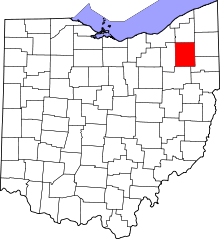 Location of Portage County in Ohio
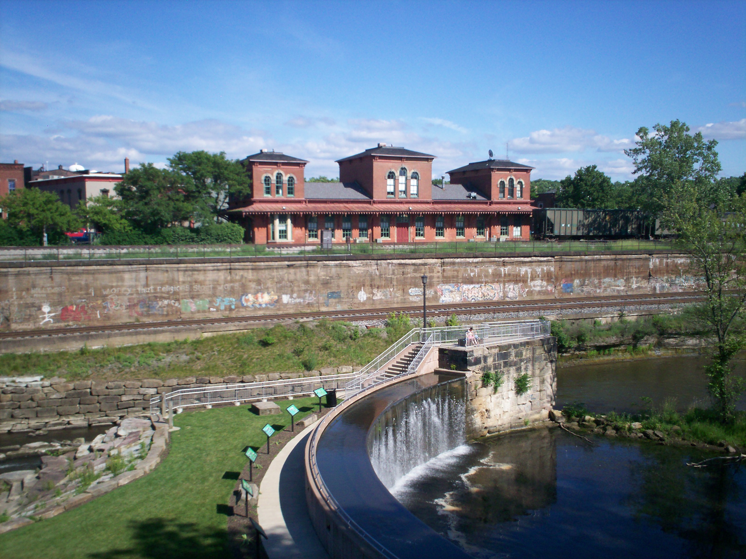
This is a list of the National Register of Historic Places listings in Portage County, Ohio.
This is intended to be a complete list of the properties and districts on the National Register of Historic Places in Portage County, Ohio, United States. The locations of National Register properties and districts for which the latitude and longitude coordinates are included below, may be seen in a Google map.[1]
There are 46 properties and districts listed on the National Register in the county.
-
- This National Park Service list is complete through NPS recent listings posted November 10, 2011.[2]
Current listings
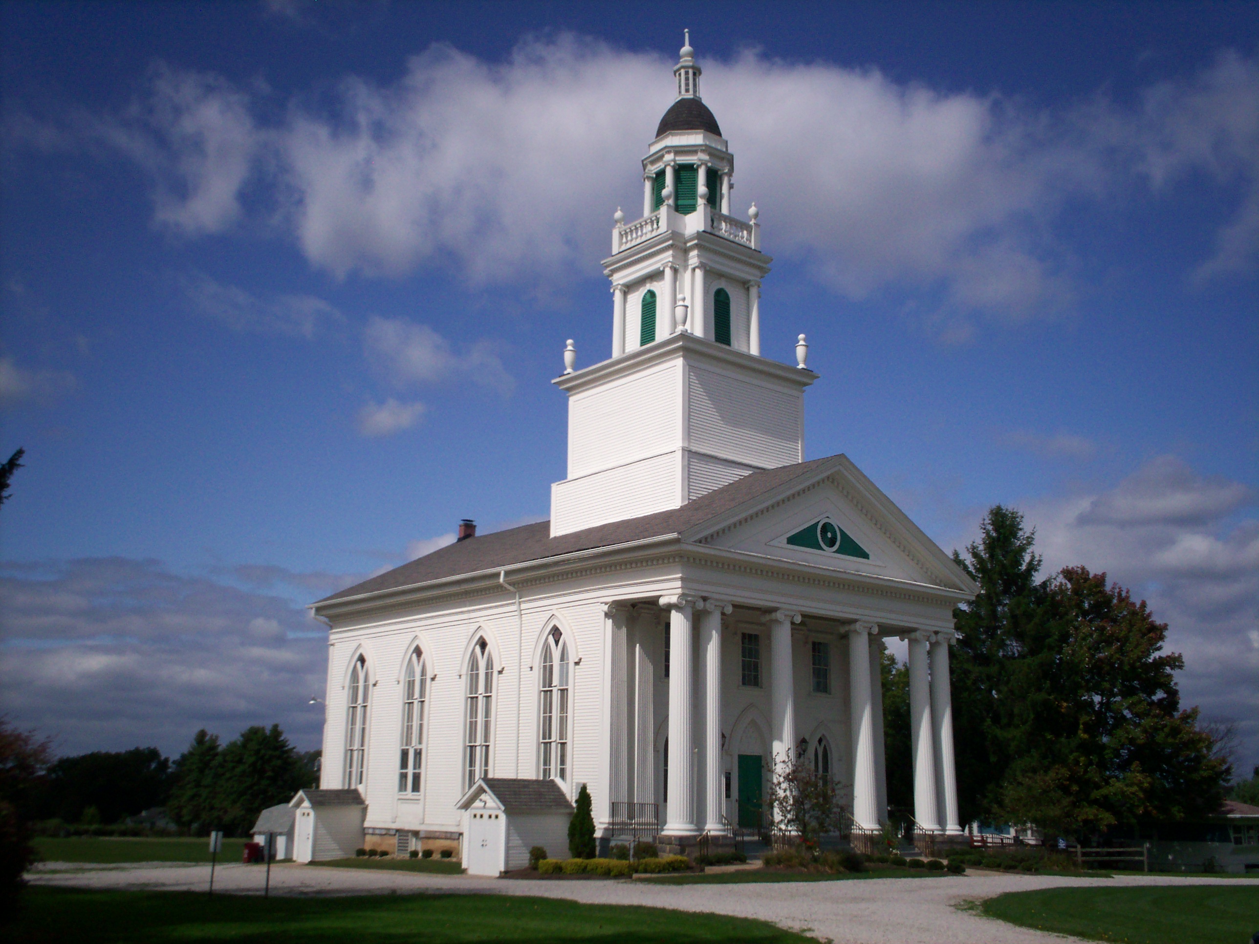
[3] Landmark name [4] Image Date listed Location City or town Summary 1 Atwater Congregational Church 
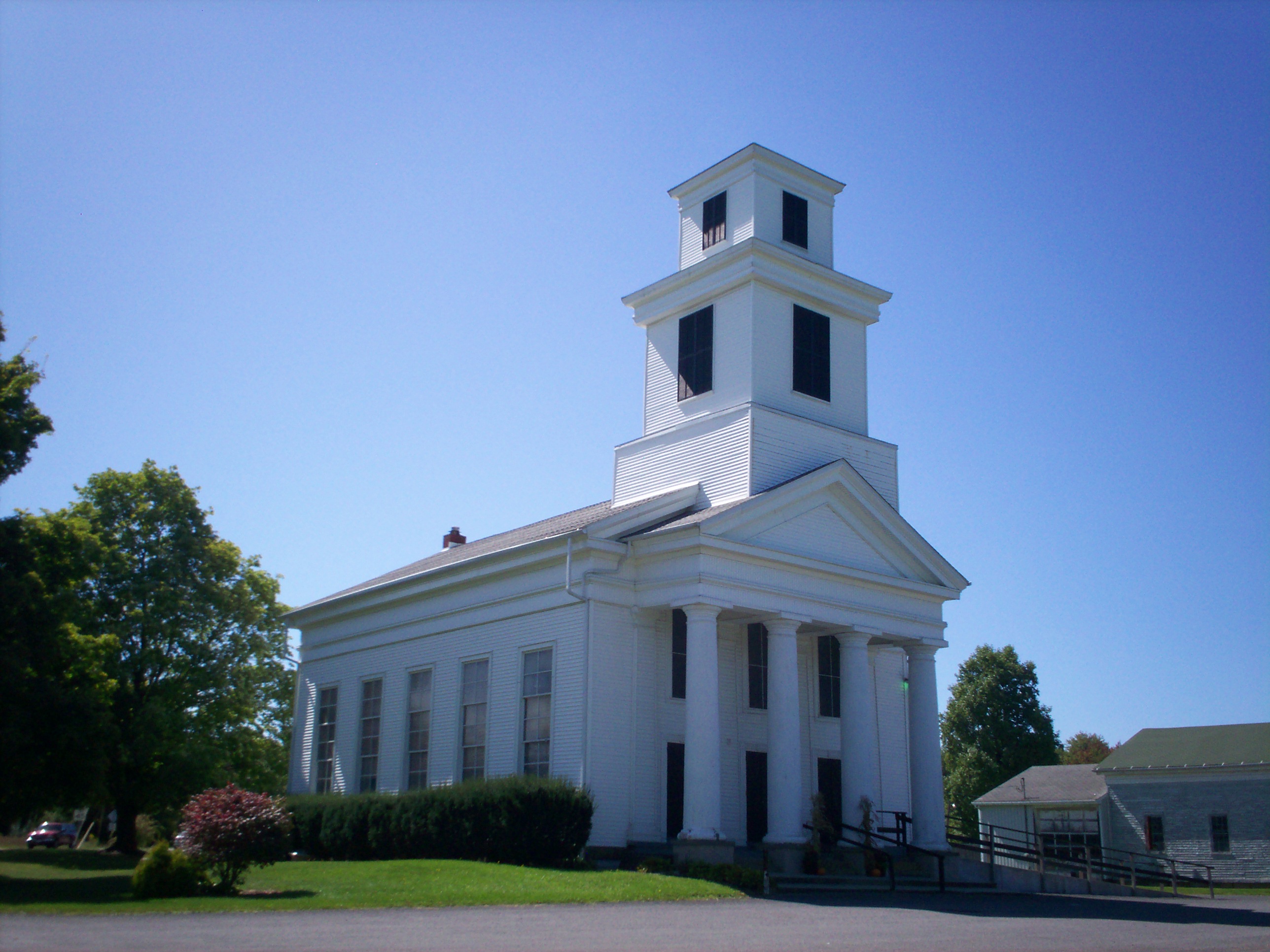
February 23, 1973 1237 State Route 183 at Atwater
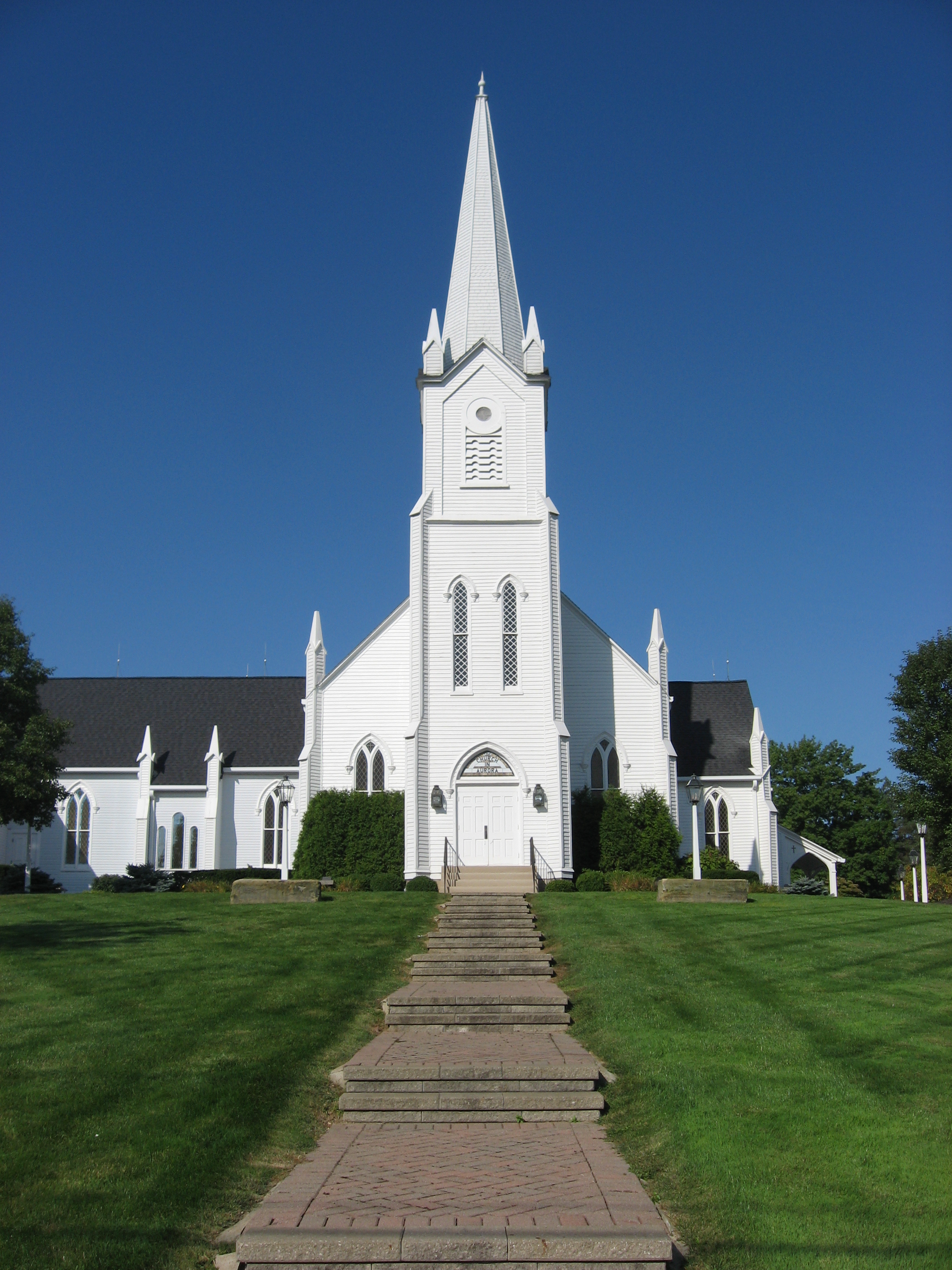
41°01′21″N 81°08′12″W / 41.0225°N 81.136667°WAtwater Township 2 Aurora Center Historic District 
June 20, 1974 Roughly both sides of State Route 306 from and including Pioneer Trail to State Route 82, also Maple Lane
41°18′49″N 81°20′50″W / 41.313611°N 81.347222°WAurora 3 Aurora Train Station 
May 22, 1986 13 New Hudson Rd.
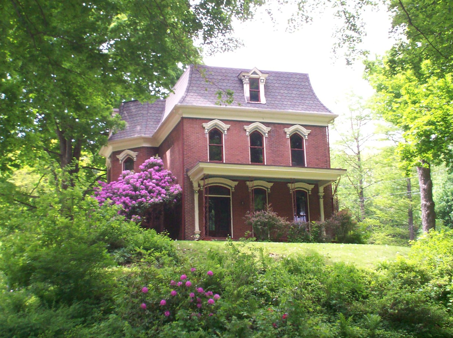
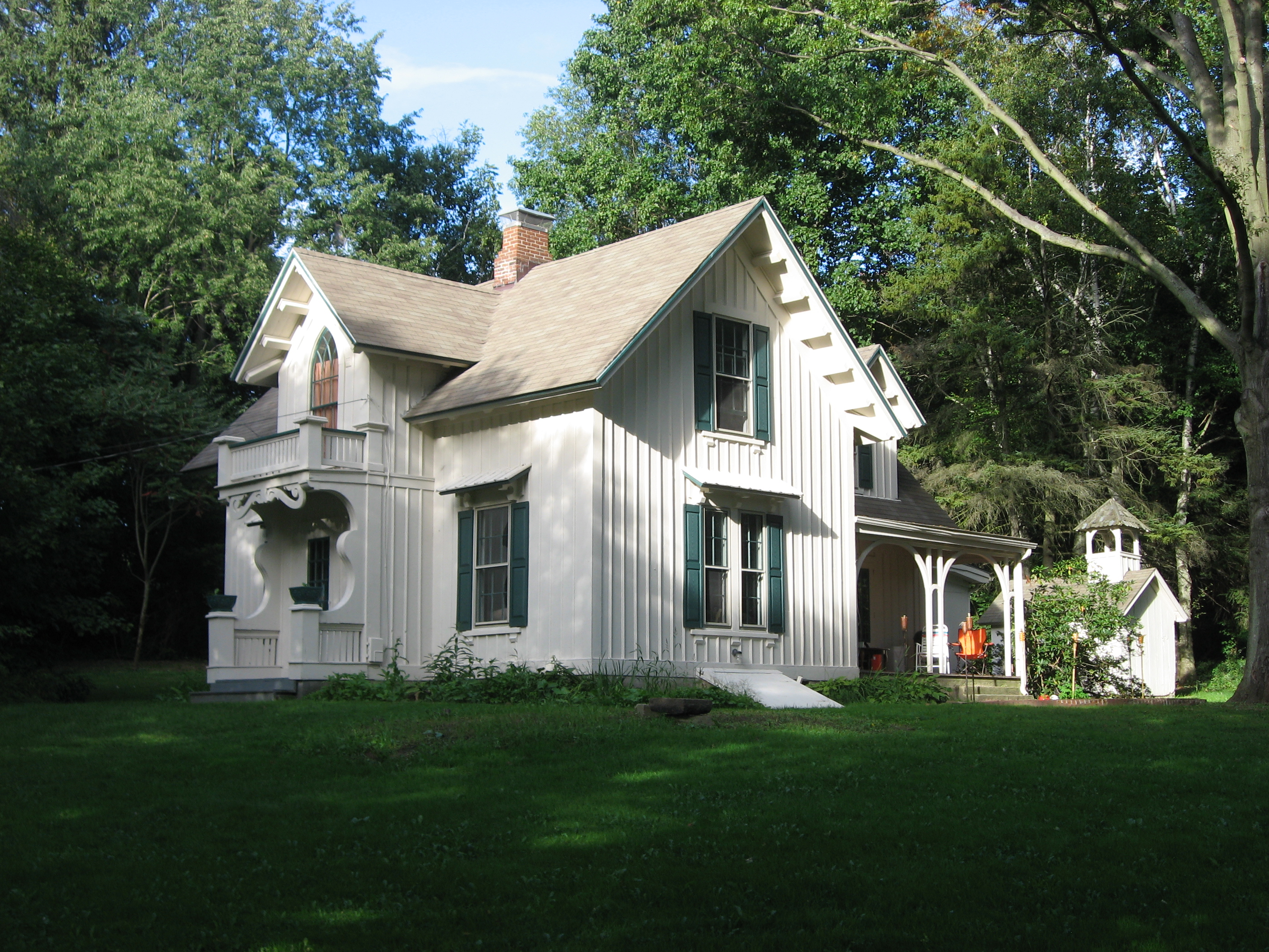
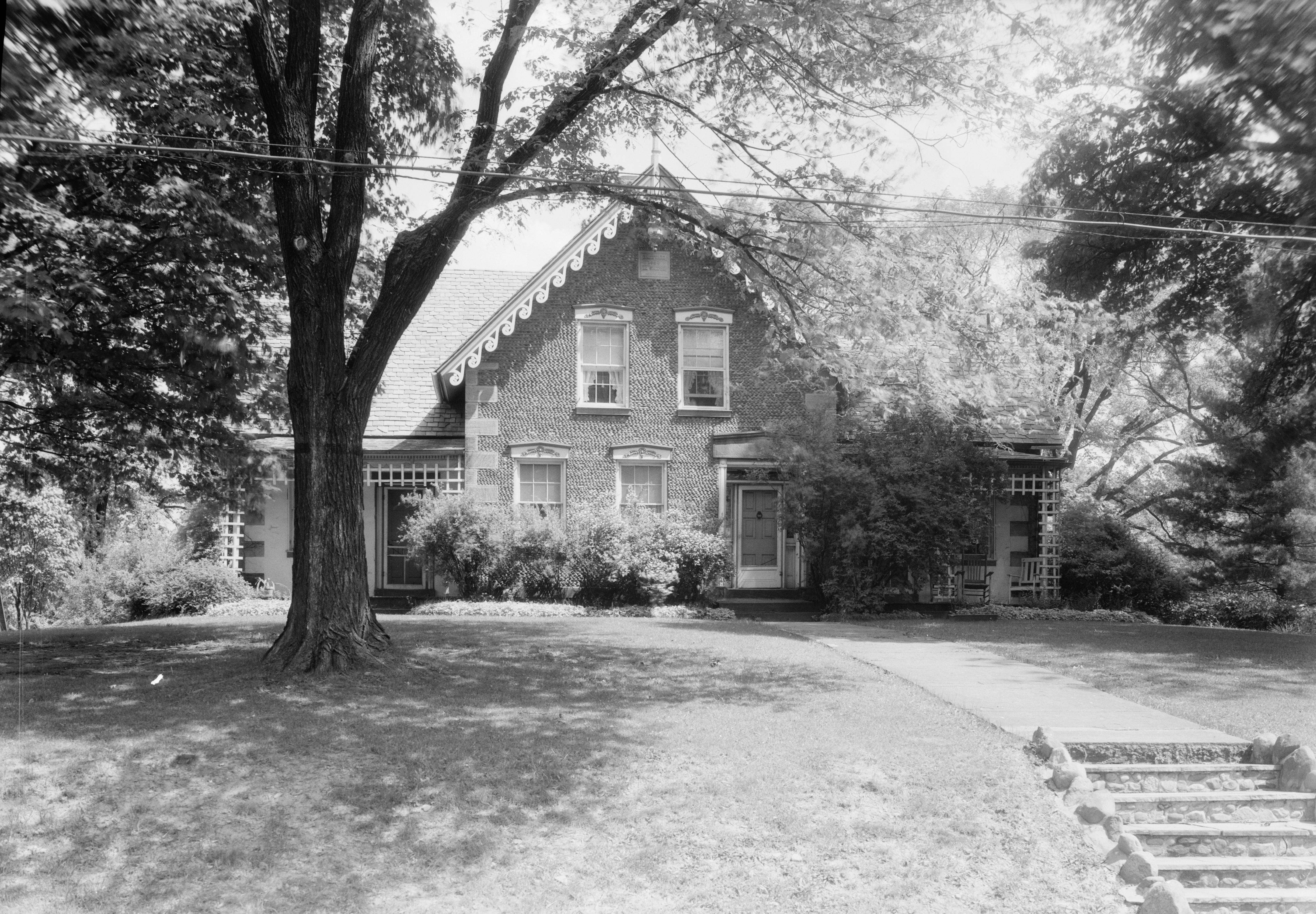
41°19′01″N 81°20′00″W / 41.316806°N 81.333333°WAurora 4 Horace Y. Beebe House June 16, 1983 6538 Cleveland Rd., northwest of Ravenna
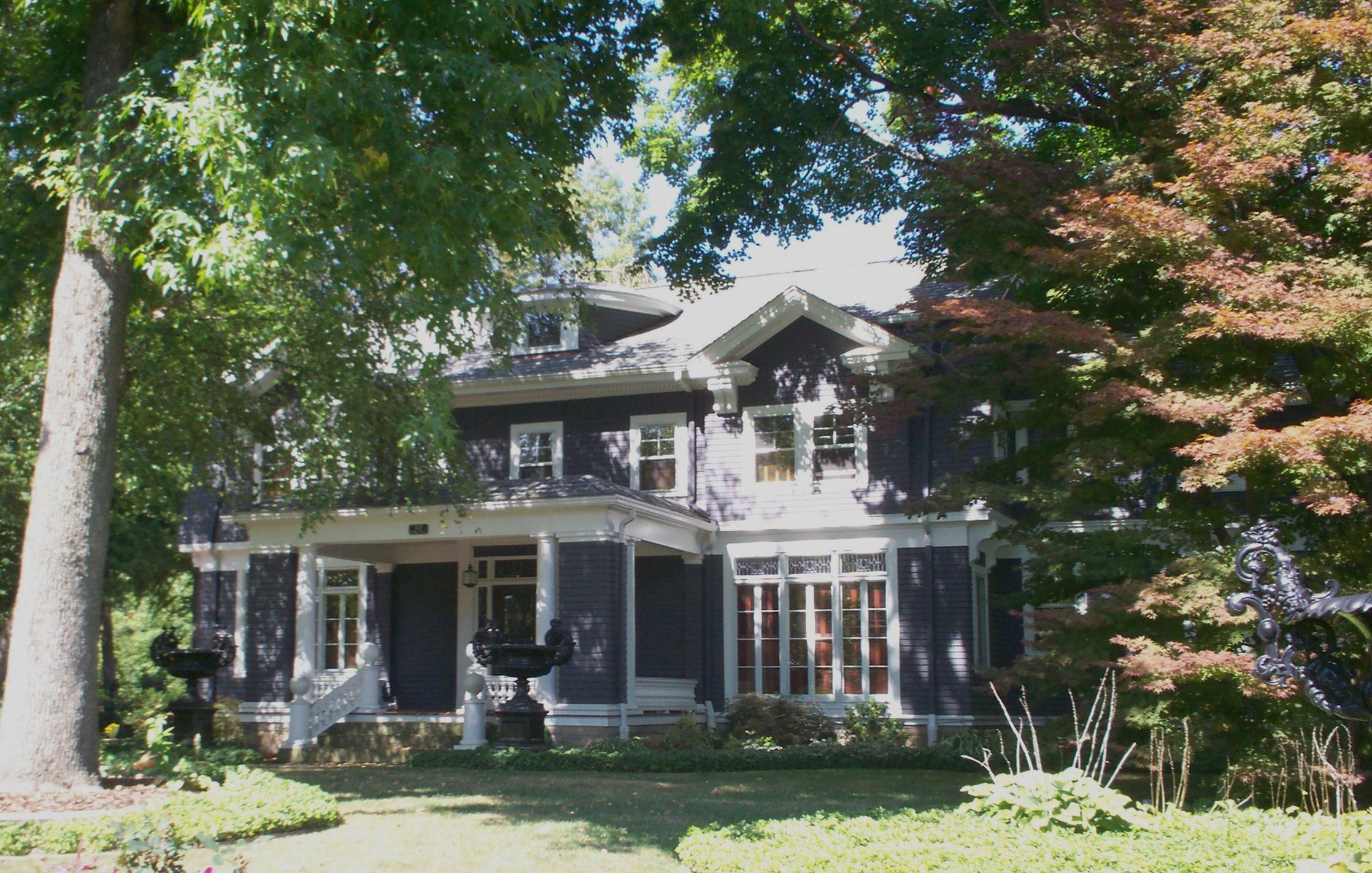
41°10′07″N 81°15′19″W / 41.168611°N 81.255278°WRavenna Township 5 John F. Byers House July 2, 2008 5551 S. Prospect St., south of Ravenna
41°08′30″N 81°14′31″W / 41.141533°N 81.241825°WRavenna Township 6 Cleveland Worsted Mills Redfern Mill December 29, 1988 S. Chestnut St.
41°08′58″N 81°14′37″W / 41.149444°N 81.243611°WRavenna 7 Cottage Hill Farm May 6, 1993 5555 Newton Falls Rd., east of Ravenna
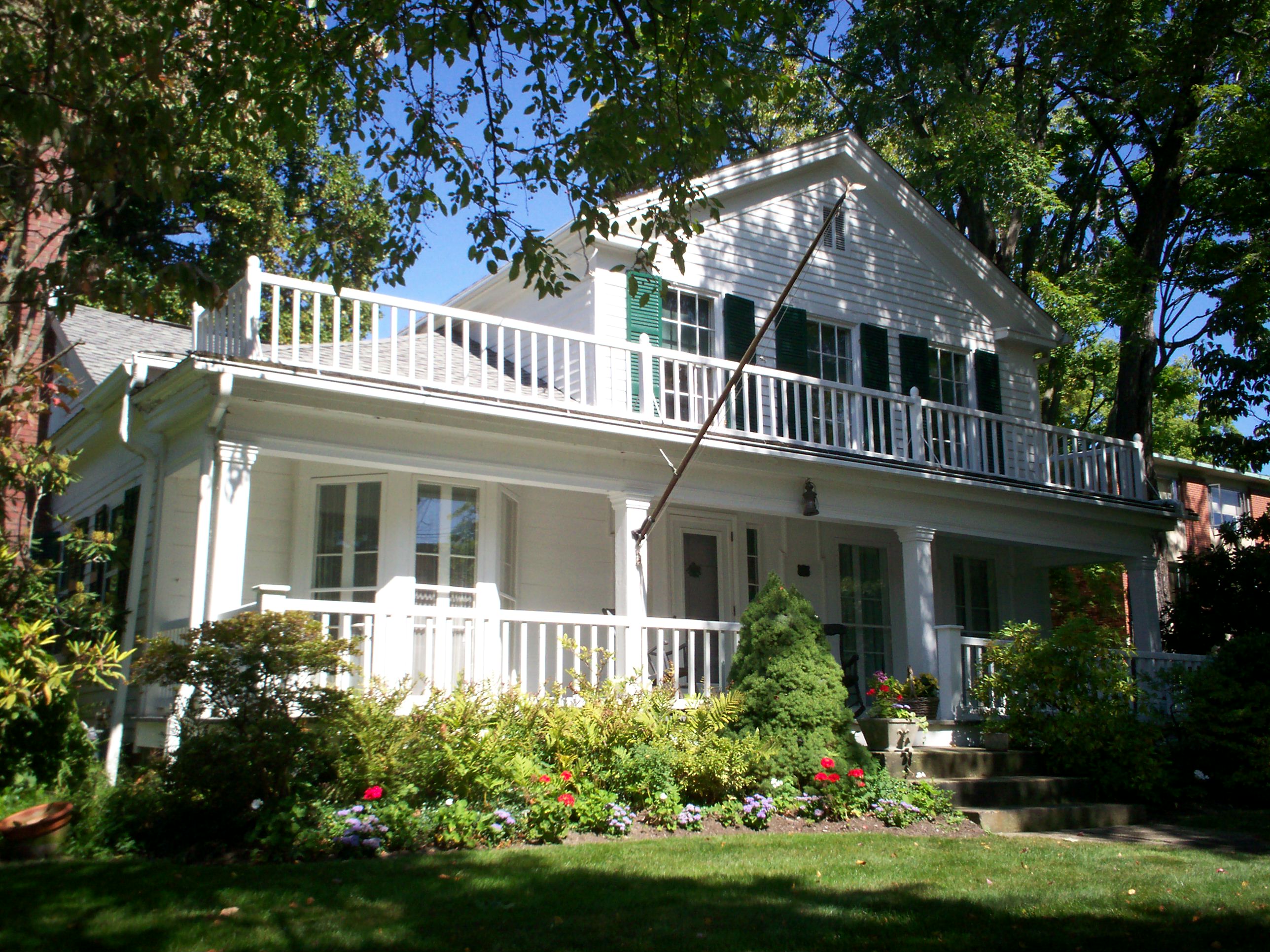
41°09′54″N 81°11′45″W / 41.165°N 81.195833°WRavenna Township 8 William H. Crafts House April 29, 1982 4619 W. Prospect St.
41°16′56″N 81°13′34″W / 41.282222°N 81.226111°WMantua 9 Crystal Lake Stock Farm April 10, 1986 4655 Hayes Rd., southeast of Ravenna
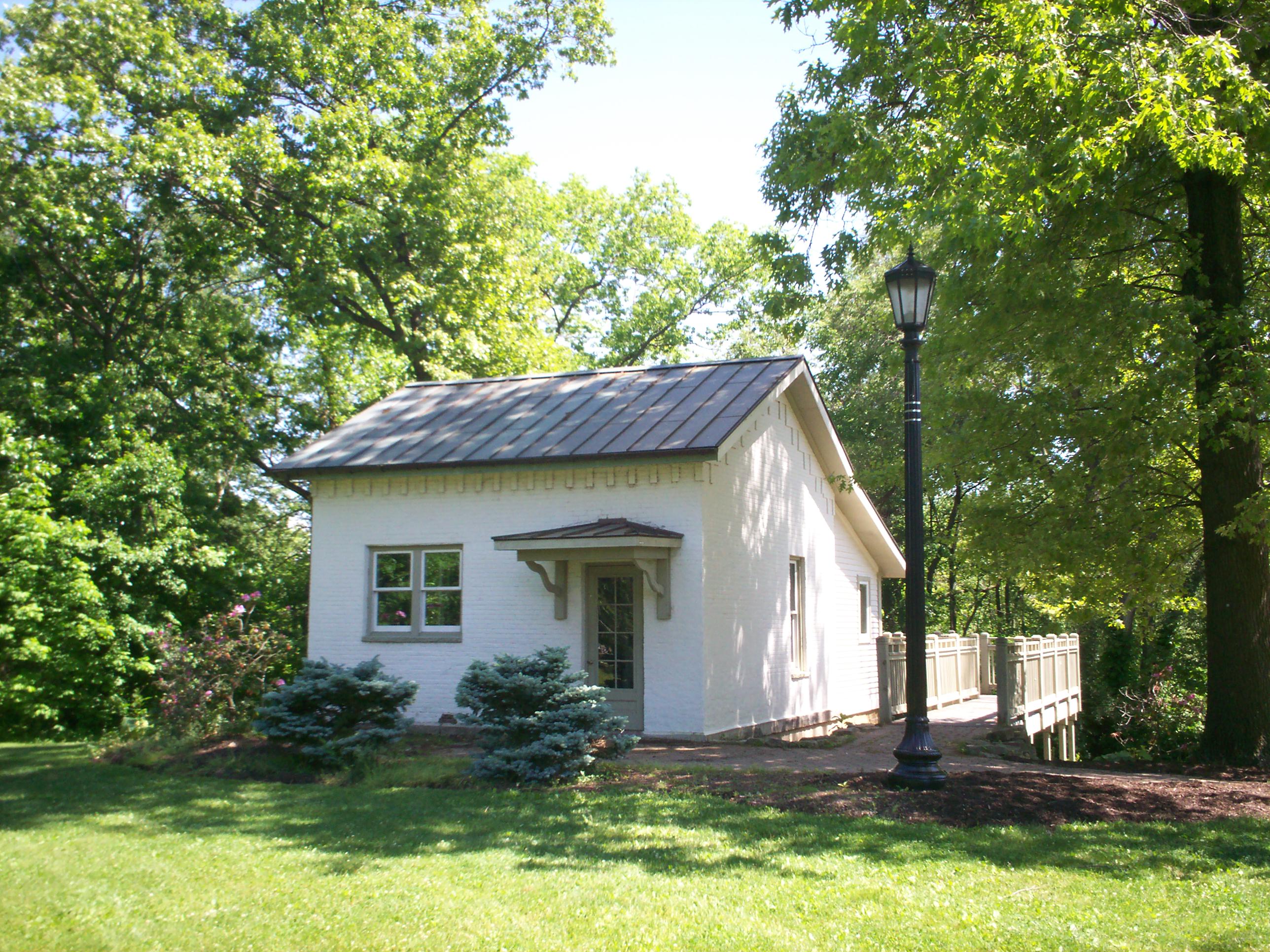
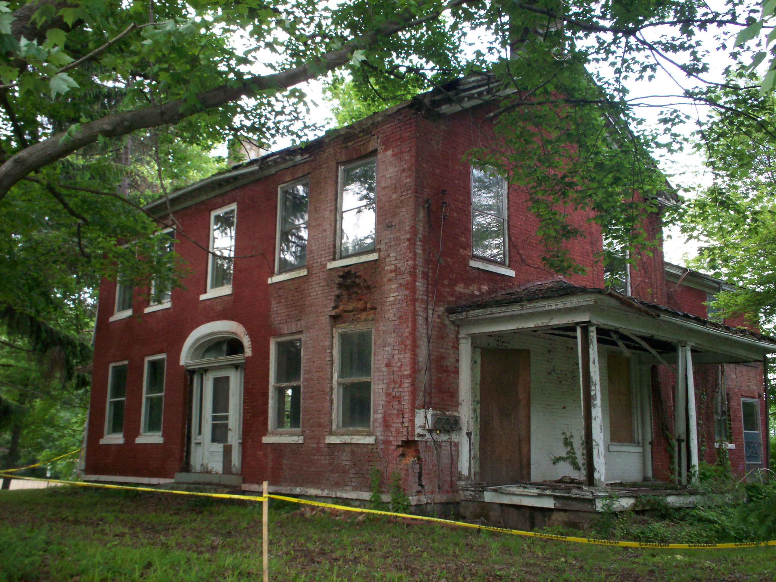
41°08′15″N 81°13′35″W / 41.1375°N 81.226389°WRavenna Township 10 John Davey House 
May 29, 1975 338 Woodard St.
41°09′31″N 81°21′55″W / 41.158611°N 81.365278°WKent 11 John Diver House and Storebuilding September 16, 1982 9465 Akron-Canfield Rd. at Deerfield
41°01′29″N 81°03′00″W / 41.024722°N 81.05°WDeerfield Township 12 East Main Street Historic District 
October 10, 1985 E. Main St. between Clinton and Linden Sts.
41°09′26″N 81°14′03″W / 41.157222°N 81.234167°WRavenna 13 Ellenwood House June 20, 1975 Northwest of Garrettsville on State Route 82
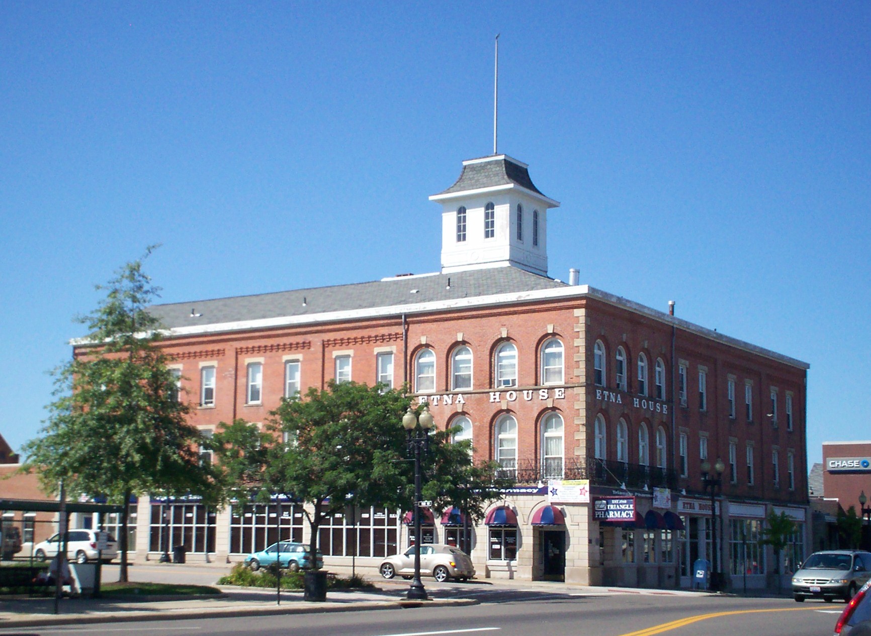
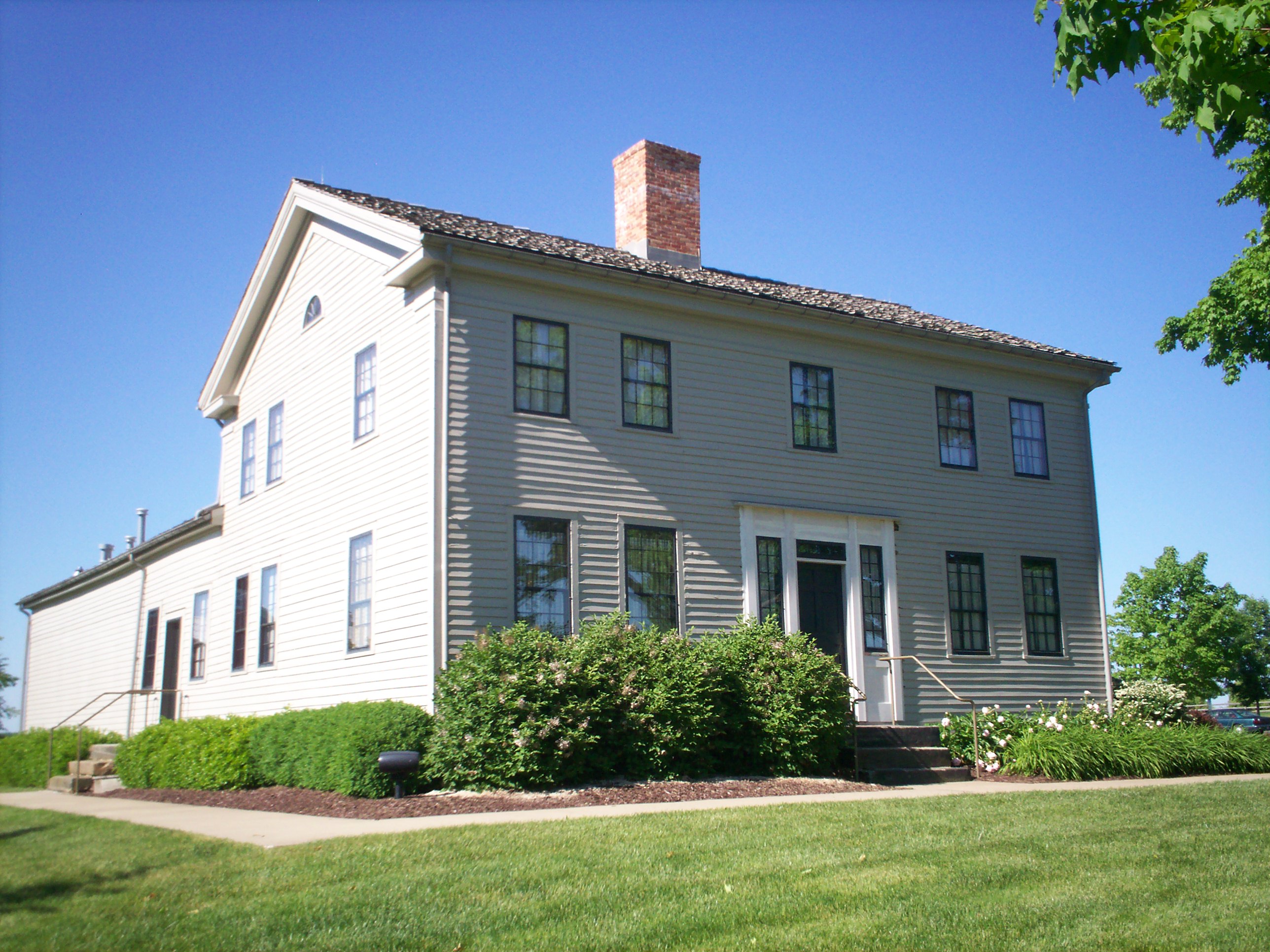
41°17′31″N 81°06′47″W / 41.291944°N 81.113056°WHiram Township 14 Etna House 
July 25, 1985 219½ W. Main St.
41°09′26″N 81°14′38″W / 41.157222°N 81.243889°WRavenna 15 Aaron Ferrey House 
August 13, 1974 5058 Sunnybrook Rd.
41°07′38″N 81°21′55″W / 41.127222°N 81.365278°WKent 16 Franklin Township Hall 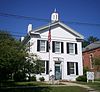
October 10, 1975 218 Gougler Ave.
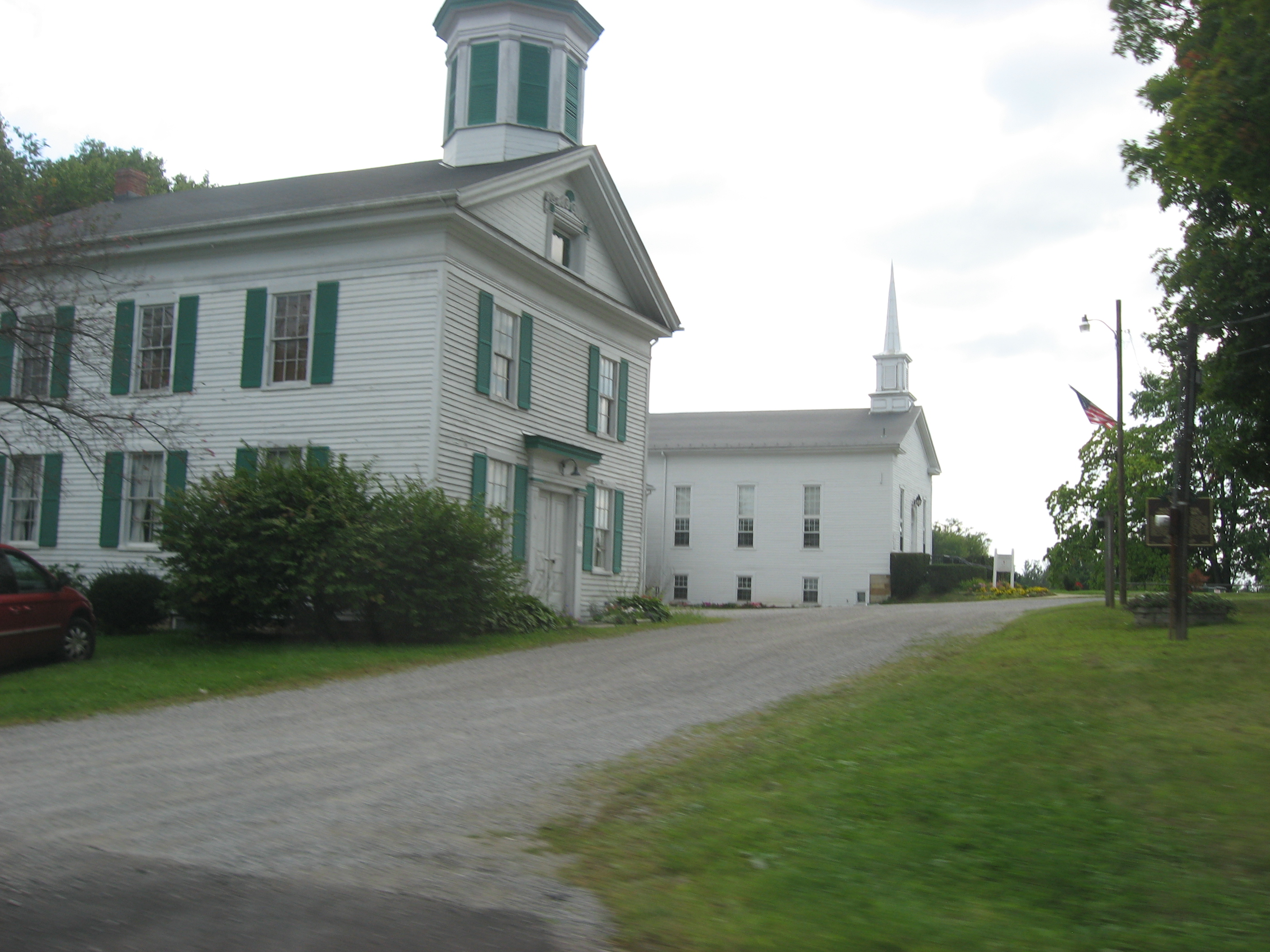
41°09′19″N 81°21′38″W / 41.155278°N 81.360556°WKent 17 Freedom Congregational Church 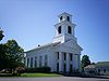
July 7, 1975 Public Green on State Route 88 at Freedom
41°14′07″N 81°08′50″W / 41.235278°N 81.147222°WFreedom Township 18 James A. Garfield House 
January 30, 1975 6825 Hinsdale St.
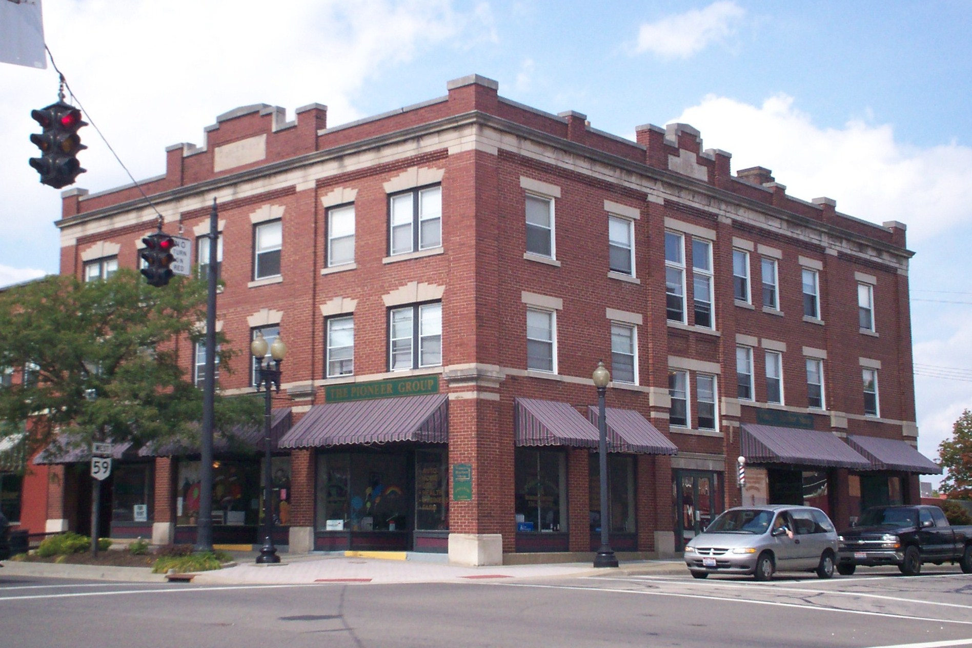
41°18′47″N 81°08′41″W / 41.313194°N 81.144722°WHiram 19 A.B. Griffin-O.H. Griffin House March 7, 1985 409 S. Walnut St.
41°09′16″N 81°14′25″W / 41.154444°N 81.240278°WRavenna 20 Alexander B. Griffin House July 2, 1987 417 S. Walnut St.
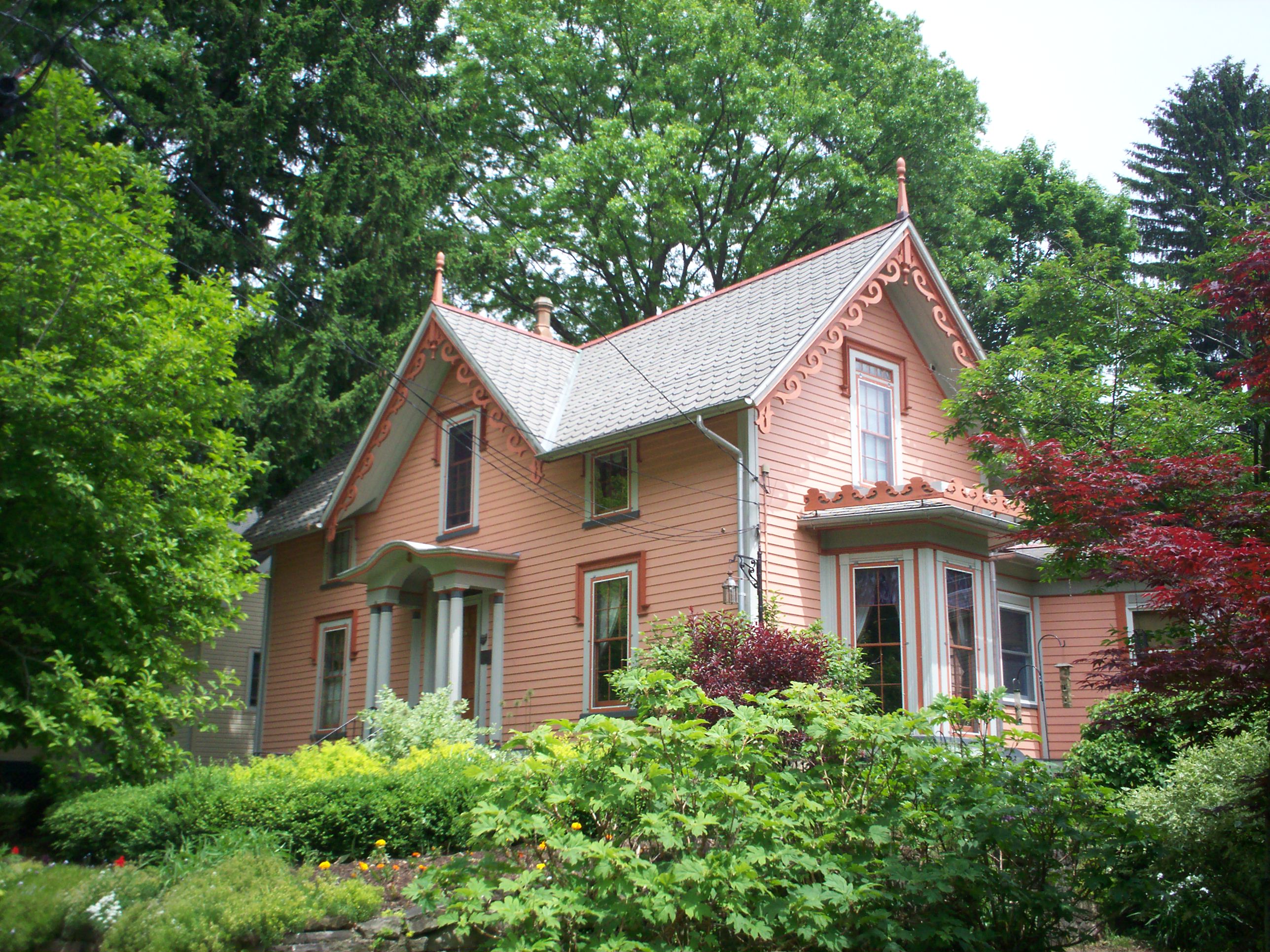
41°09′13″N 81°14′24″W / 41.153611°N 81.24°WRavenna 21 Horace L. Hine House December 12, 1976 4624 W. Prospect St.
41°16′54″N 81°13′32″W / 41.281667°N 81.225556°WMantua 22 Benjamin F. Hopkins Stone Building 
November 25, 1982 Standing Rock Cemetery
41°09′55″N 81°21′11″W / 41.165278°N 81.353056°WKent No longer at its original location 23 C.R. Howard House 
August 13, 1974 411 E. Garfield St.
41°19′04″N 81°19′51″W / 41.317778°N 81.330833°WAurora 24 John Johnson Farm 
December 12, 1976 6203 Pioneer Trail, southwest of Hiram
41°17′48″N 81°10′05″W / 41.296667°N 81.168056°WHiram Township 25 Kent Industrial District 
December 30, 1974 Roughly bounded by West Main and River Streets, Haymaker Parkway, and Franklin Avenue
41°09′11″N 81°21′37″W / 41.153056°N 81.360278°WKent 26 Kent Jail 
August 22, 2001 947 Middlebury Rd.
41°09′00″N 81°22′07″W / 41.15°N 81.368611°WKent Listed in 1978 at 124 W. Day St., but removed in 2000 before relisting at current location in 2001[4] 27 Charles Kent House 
February 23, 1978 125 N. Pearl St.
41°09′15″N 81°21′56″W / 41.154167°N 81.365556°WKent 28 Zeno Kent House April 23, 1973 2.5 mi (4.0 km) southwest of central Aurora on Aurora-Hudson Rd.
41°17′03″N 81°21′48″W / 41.284167°N 81.363333°WAurora 29 Kent State Shootings Site 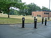
February 23, 2010 0.5 miles southeast of the intersection of E. Main St. and S. Lincoln St.
41°09′00″N 81°20′40″W / 41.15°N 81.344444°WKent Site of May 4, 1970, shootings of Vietnam War protesters by Ohio National Guardsmen that killed four. 30 Mantua Center District 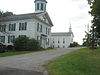
October 9, 1974 Roughly bounded by State Route 82 and Mantua Center Rd., in Mantua Center
41°18′35″N 81°14′42″W / 41.309722°N 81.245°WMantua Township 31 Mantua Station Brick Commercial District 
December 24, 1974 Main and Prospect Sts.
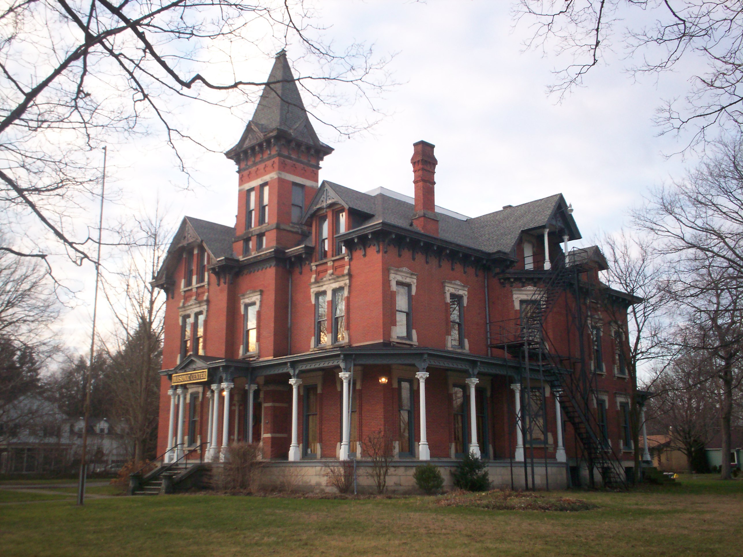
41°16′54″N 81°13′26″W / 41.281667°N 81.223889°WMantua 32 Masonic Temple 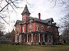
July 18, 1974 409 W. Main St.
41°09′15″N 81°21′47″W / 41.154167°N 81.363056°WKent 33 Mott Drug Store February 29, 1996 8107 Main St.
41°17′06″N 81°05′53″W / 41.285°N 81.098056°WGarrettsville 34 Luman Nelson House December 22, 1993 8219 State Route 44, north of Ravenna
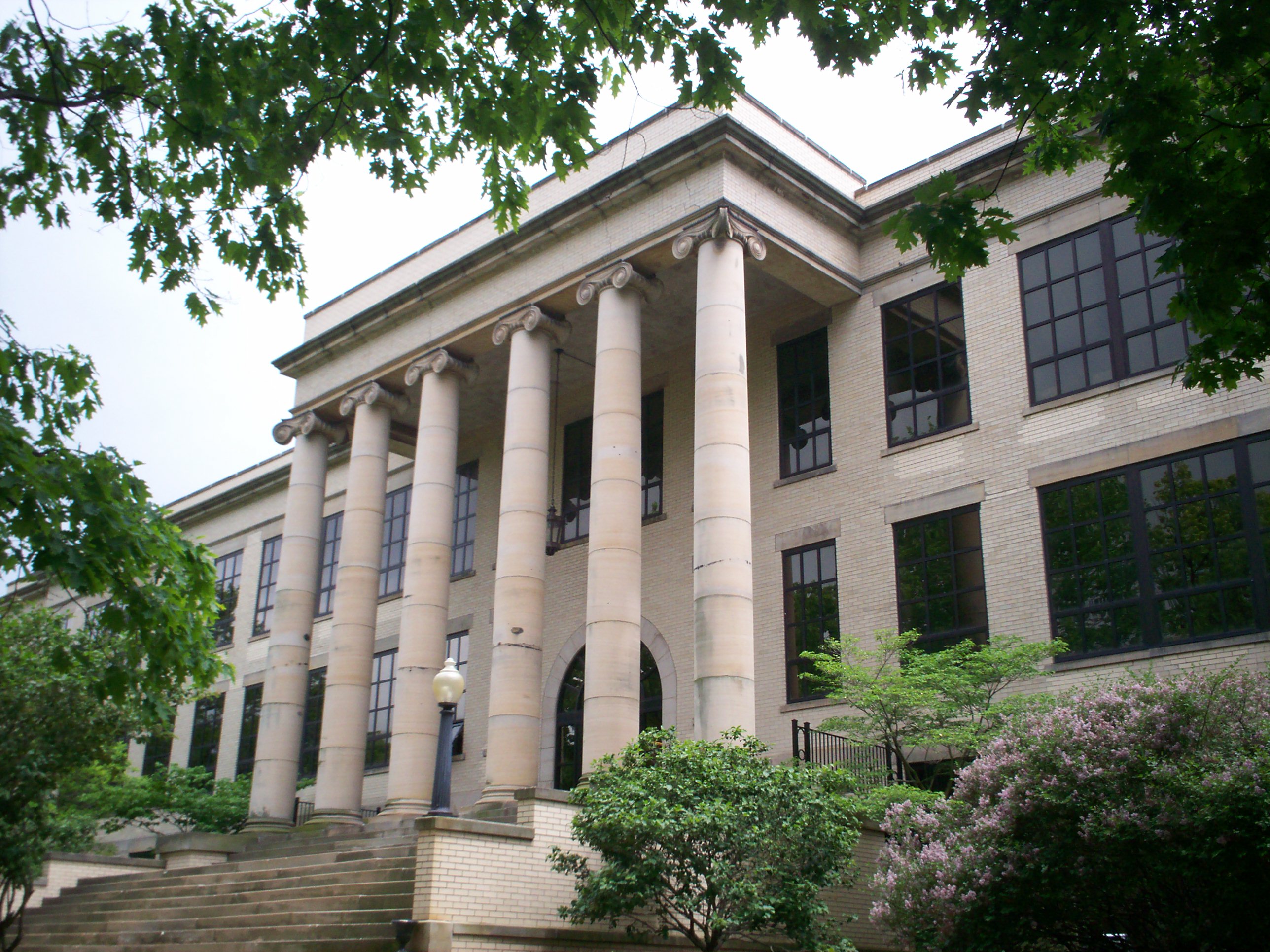
41°12′53″N 81°14′33″W / 41.214722°N 81.2425°WShalersville Township 35 Ohio State Normal College At Kent 
May 30, 1975 Hilltop Dr. on the Kent State University campus
41°09′06″N 81°20′53″W / 41.151667°N 81.348056°WKent 36 Arvin Olin House 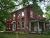
October 20, 1995 1423 Ravenna Rd., north of Kent
41°11′02″N 81°20′33″W / 41.183889°N 81.3425°WFranklin Township Demolished by the city of Akron on 10 March 2010[5] 37 Palmyra Center Hotel 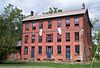
April 30, 1976 County Road 18 and State Route 225 at Palmyra Center
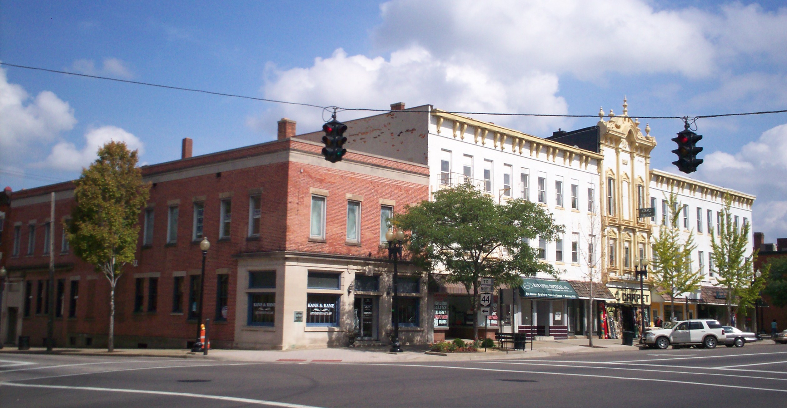
41°05′57″N 81°03′07″W / 41.099167°N 81.051944°WPalmyra Township 38 Phoenix Block 
March 18, 1985 Northeastern corner of Main and Chestnut Sts.
41°09′28″N 81°14′37″W / 41.157778°N 81.243611°WRavenna 39 C.A. Reed House October 10, 1985 299 W. Riddle St.
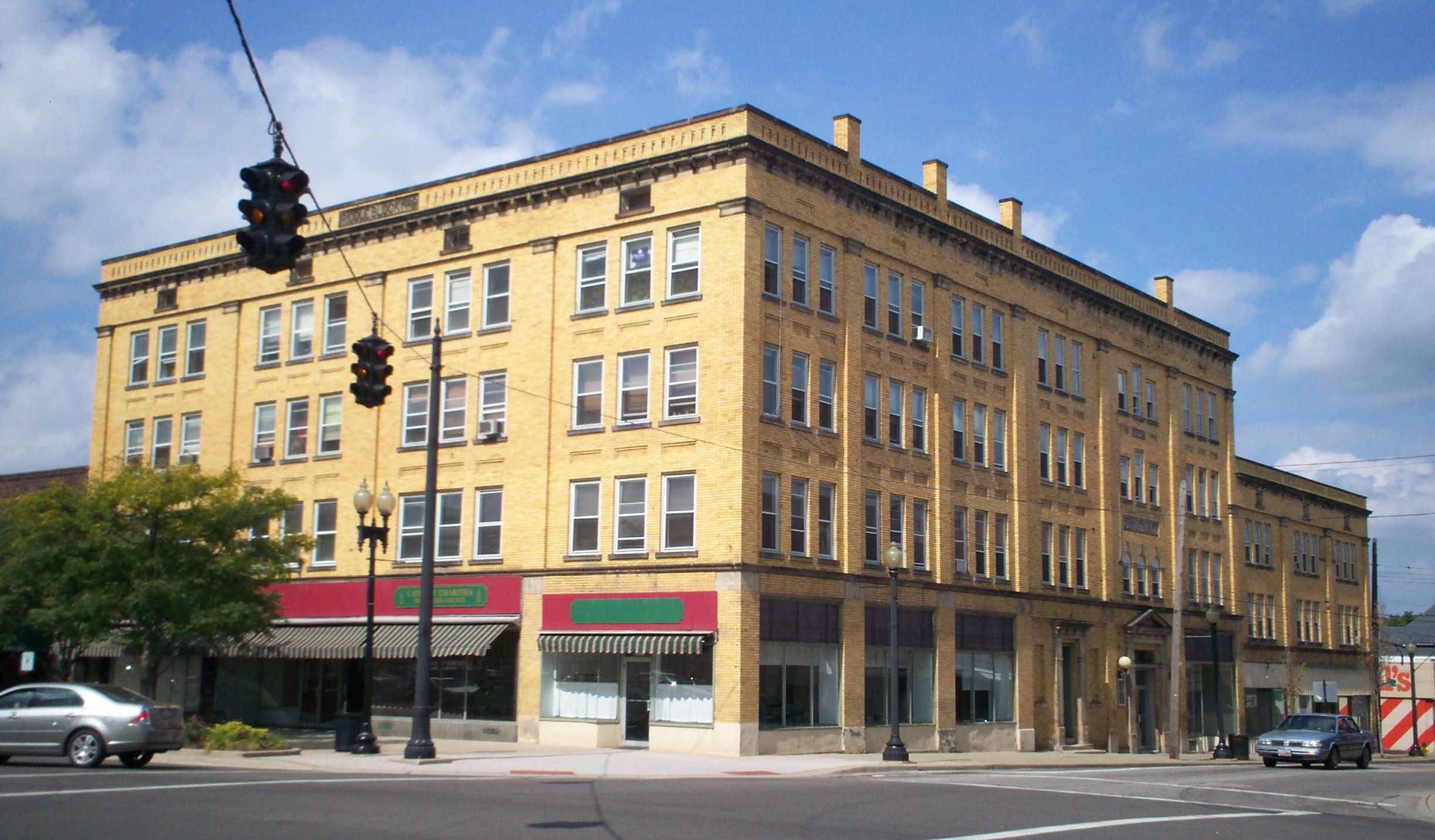
41°09′18″N 81°13′56″W / 41.155°N 81.232222°WRavenna 40 Riddle Block 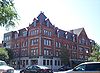
March 17, 1976 Public Sq., Chestnut, and Main Sts.
41°09′26″N 81°14′35″W / 41.157222°N 81.243056°WRavenna 41 Riddle Block No. 5 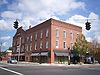
July 25, 1985 141-145 E. Main St.
41°09′28″N 81°14′30″W / 41.157778°N 81.241667°WRavenna 42 Riddle Block No. 9 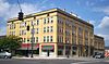
March 18, 1985 113-115 W. Main St.
41°09′28″N 81°14′37″W / 41.157778°N 81.243611°WRavenna 43 Riddle Block No. 11 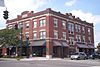
March 18, 1985 133-137 E. Main St.
41°09′28″N 81°14′32″W / 41.157778°N 81.242222°WRavenna 44 Frederick Wadsworth House May 29, 1975 4889 State Route 14, northwest of Edinburg
41°07′21″N 81°10′48″W / 41.1225°N 81.18°WEdinburg Township 45 West Main Street District 
June 17, 1977 409-625 W. Main St.
41°09′14″N 81°21′56″W / 41.153889°N 81.365556°WKent 46 Thomas F. Young House 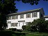
October 22, 1976 Wakefield and Garfield Sts.
41°18′35″N 81°08′40″W / 41.309722°N 81.144444°WHiram See also
References
- ^ The latitude and longitude information provided in this table was derived originally from the National Register Information System, which has been found to be fairly accurate for about 99% of listings. For about 1% of NRIS original coordinates, experience has shown that one or both coordinates are typos or otherwise extremely far off; some corrections may have been made. A more subtle problem causes many locations to be off by up to 150 yards, depending on location in the country: most NRIS coordinates were derived from tracing out latitude and longitudes off of USGS topographical quadrant maps created under the North American Datum of 1927, which differs from the current, highly accurate WGS84 GPS system used by Google maps. Chicago is about right, but NRIS longitudes in Washington are higher by about 4.5 seconds, and are lower by about 2.0 seconds in Maine. Latitudes differ by about 1.0 second in Florida. Some locations in this table may have been corrected to current GPS standards.
- ^ "National Register of Historic Places: Weekly List Actions". National Park Service, United States Department of the Interior. Retrieved on November 10, 2011.
- ^ Numbers represent an ordering by significant words. Various colorings, defined here, differentiate National Historic Landmark sites and National Register of Historic Places Districts from other NRHP buildings, structures, sites or objects.
- ^ a b "National Register Information System". National Register of Historic Places. National Park Service. . http://nrhp.focus.nps.gov/natreg/docs/All_Data.html.
- ^ Fredmonsky, Matt. 175-year-old home razed: Historic Olin House in Franklin Township was owned by Akron, Record Courier, 2010-03-11. Accessed 2010-03-11.
National Register of Historic Places in Ohio Lists by county Adams • Allen • Ashland • Ashtabula • Athens • Auglaize • Belmont • Brown • Butler • Carroll • Champaign • Clark • Clermont • Clinton • Columbiana • Coshocton • Crawford • Cuyahoga • Darke • Defiance • Delaware • Erie • Fairfield • Fayette • Franklin • Fulton • Gallia • Geauga • Greene • Guernsey • Hamilton • Hancock • Hardin • Harrison • Henry • Highland • Hocking • Holmes • Huron • Jackson • Jefferson • Knox • Lake • Lawrence • Licking • Logan • Lorain • Lucas • Madison • Mahoning • Marion • Medina • Meigs • Mercer • Miami • Monroe • Montgomery • Morgan • Morrow • Muskingum • Noble • Ottawa • Paulding • Perry • Pickaway • Pike • Portage • Preble • Putnam • Richland • Ross • Sandusky • Scioto • Seneca • Shelby • Stark • Summit • Trumbull • Tuscarawas • Union • Van Wert • Vinton • Warren • Washington • Wayne • Williams • Wood • Wyandot

Lists by city Other lists Municipalities and communities of Portage County, Ohio Cities Aurora | Kent | Ravenna | Streetsboro | Tallmadge‡

Villages Brady Lake | Garrettsville | Hiram | Mantua | Mogadore‡ | Sugar Bush Knolls | Windham
Townships CDP Unincorporated
communitiesFootnotes ‡This populated place also has portions in an adjacent county or counties
Categories:- National Register of Historic Places in Ohio by county
- Portage County, Ohio
-


Wikimedia Foundation. 2010.